Elevation of Wilsons Promontory National Park, Wilsons Promontory VIC, Australia
Location: Australia > Victoria >
Longitude: 146.333333
Latitude: -38.916666
Elevation: 105m / 344feet
Barometric Pressure: 100KPa
Elevation Map:
Satellite Map:
Related Photos:
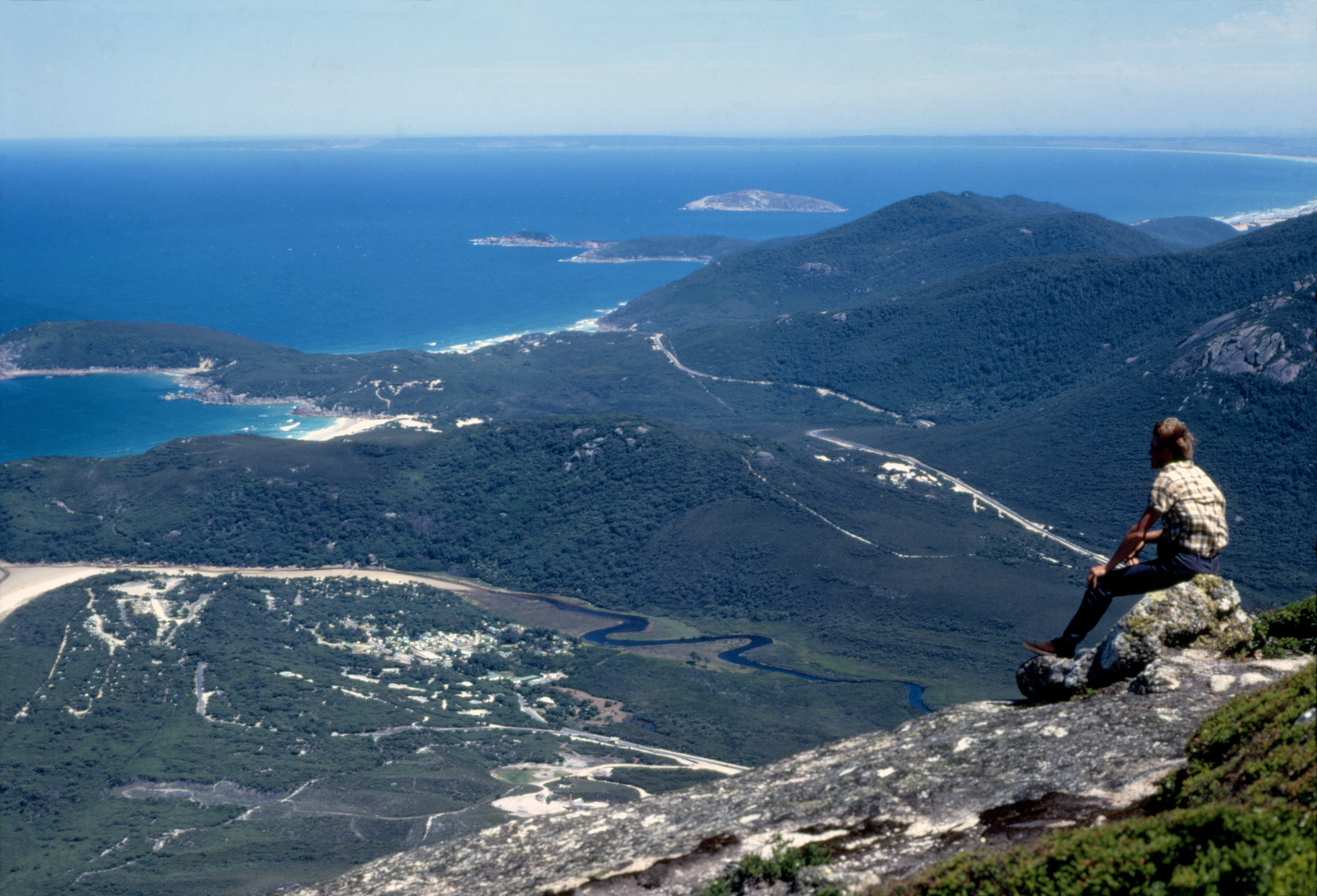
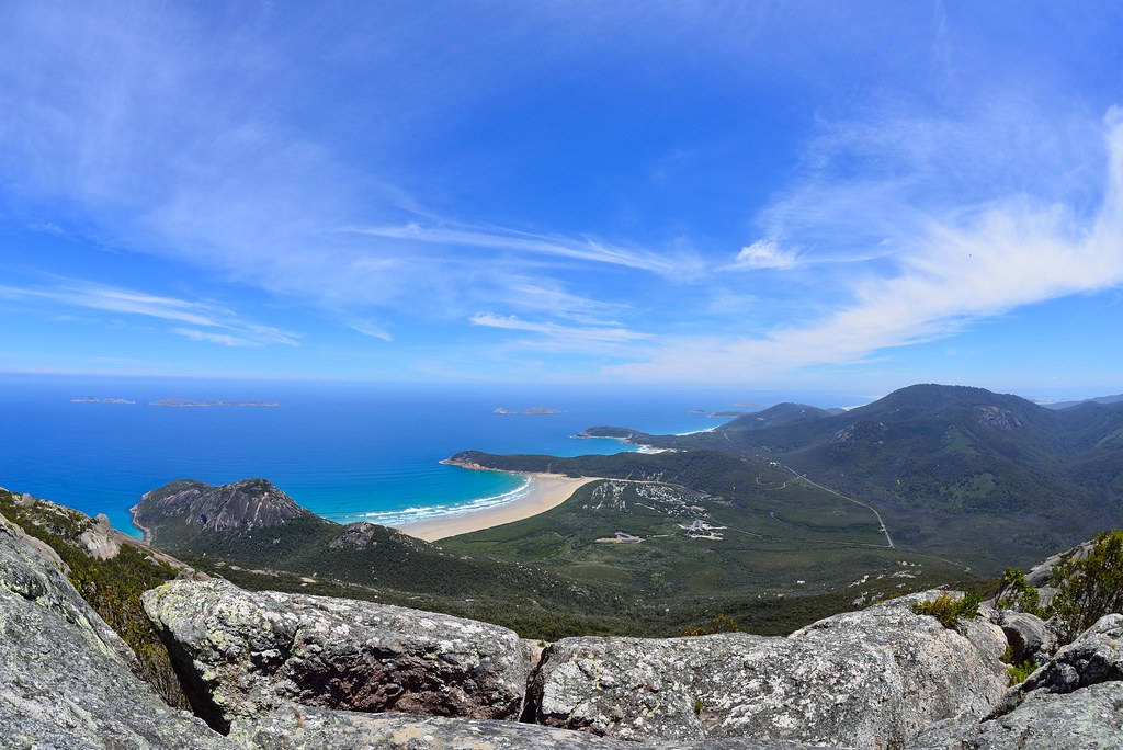
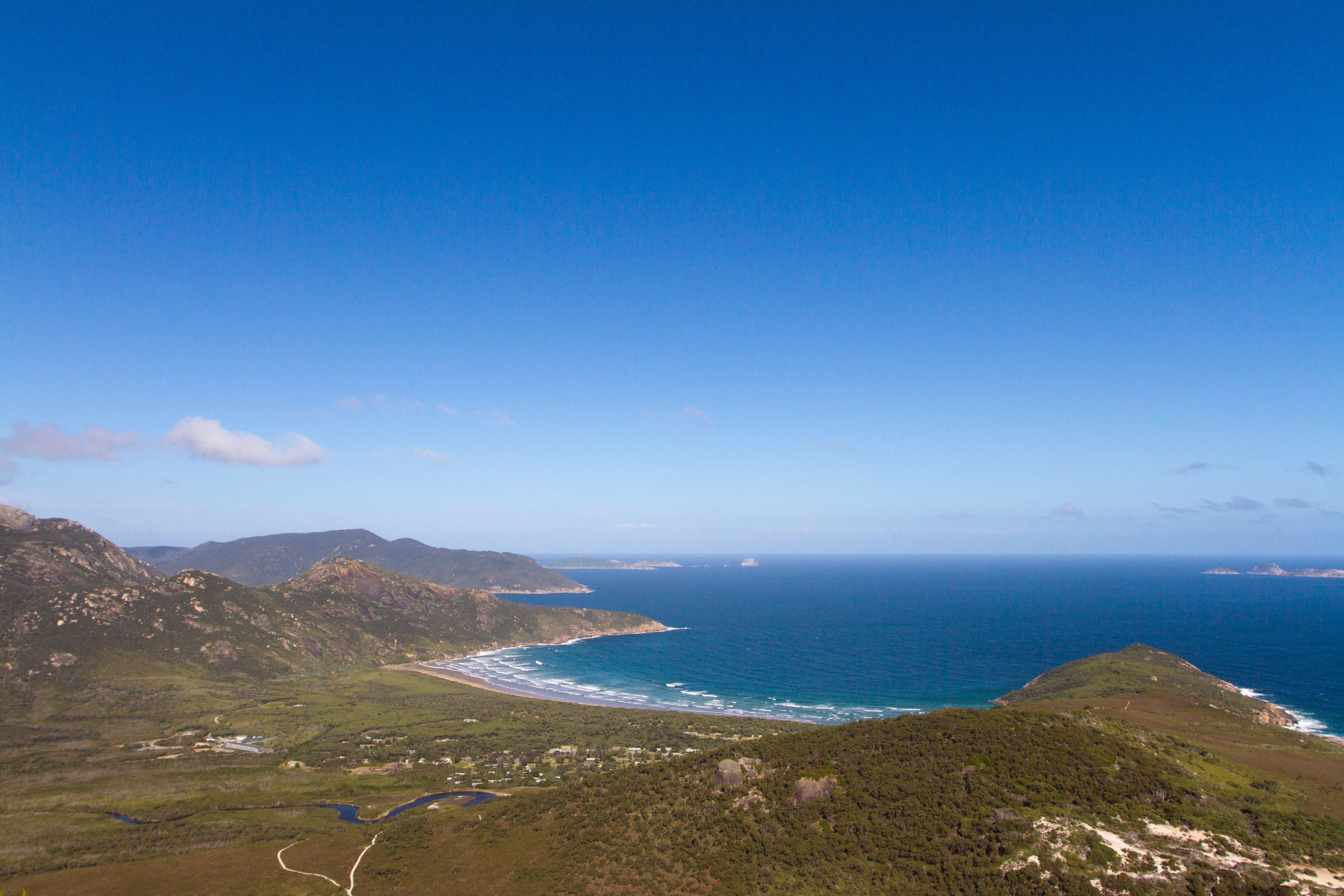
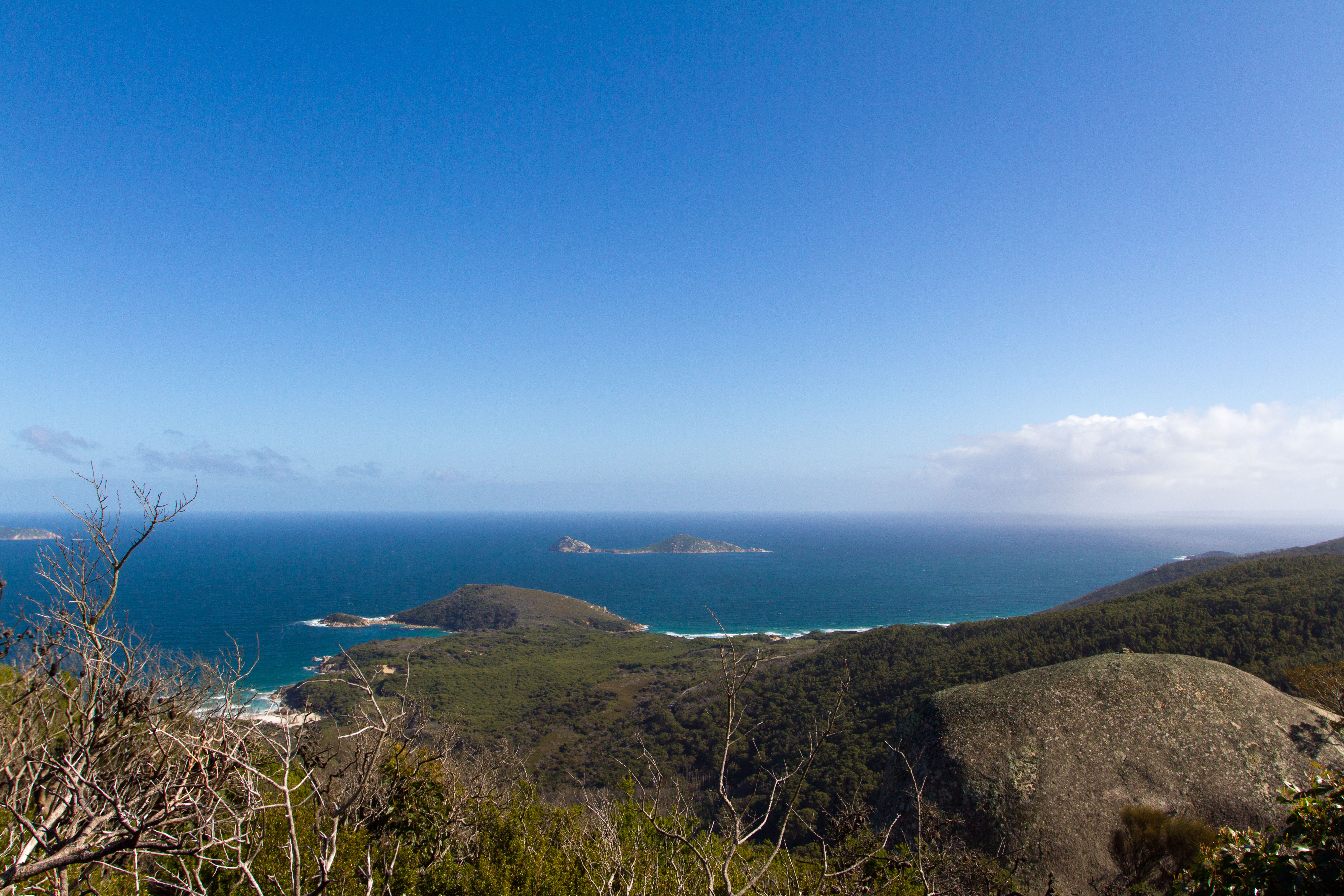
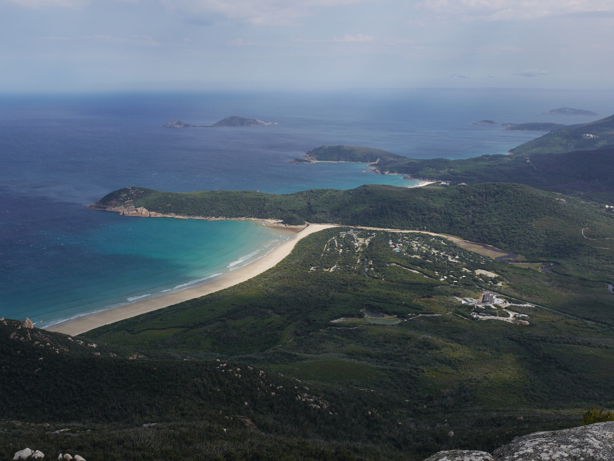
Tidal River from Mt Oberon - Victoria
Mt Oberon & Sealers Cove, Wilsons Promontory, Victoria, Australia
South View from Mt Oberon
Wilsons Prom

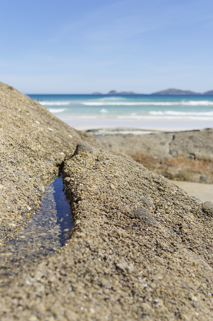
picnic bay
Wilsons Promontory
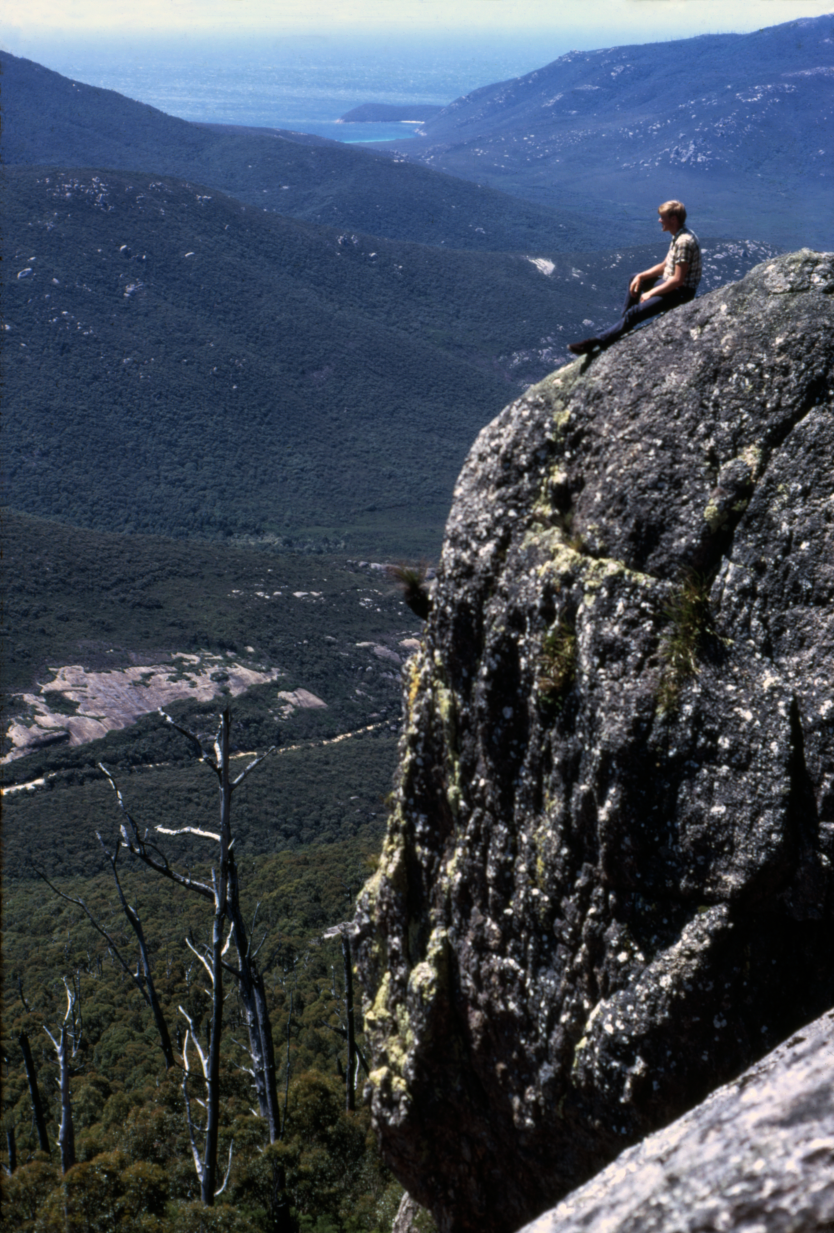
A view at the summit of Mt.Oberon
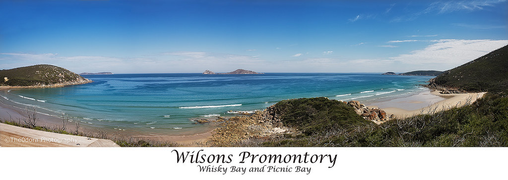
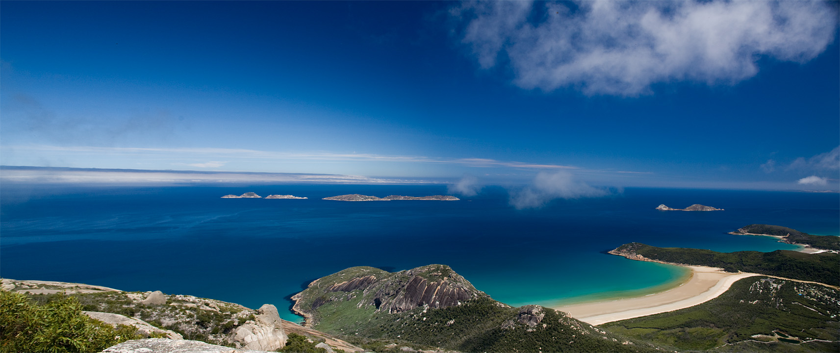
Wilsons Promontory - Island panorama
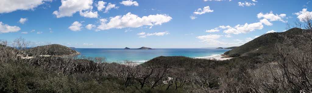
View near Squeaky Beach
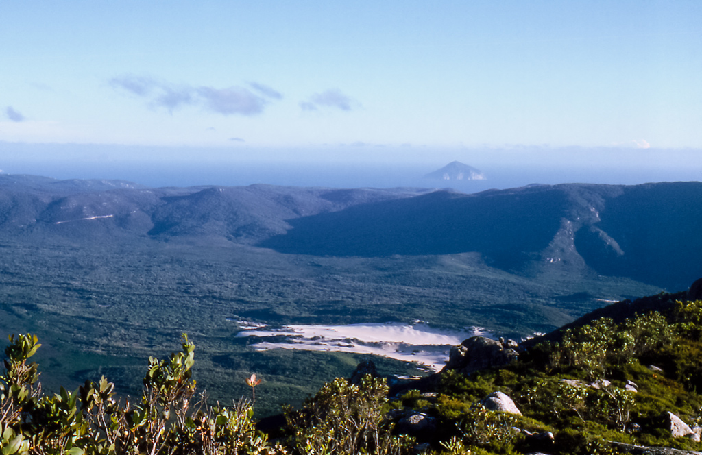
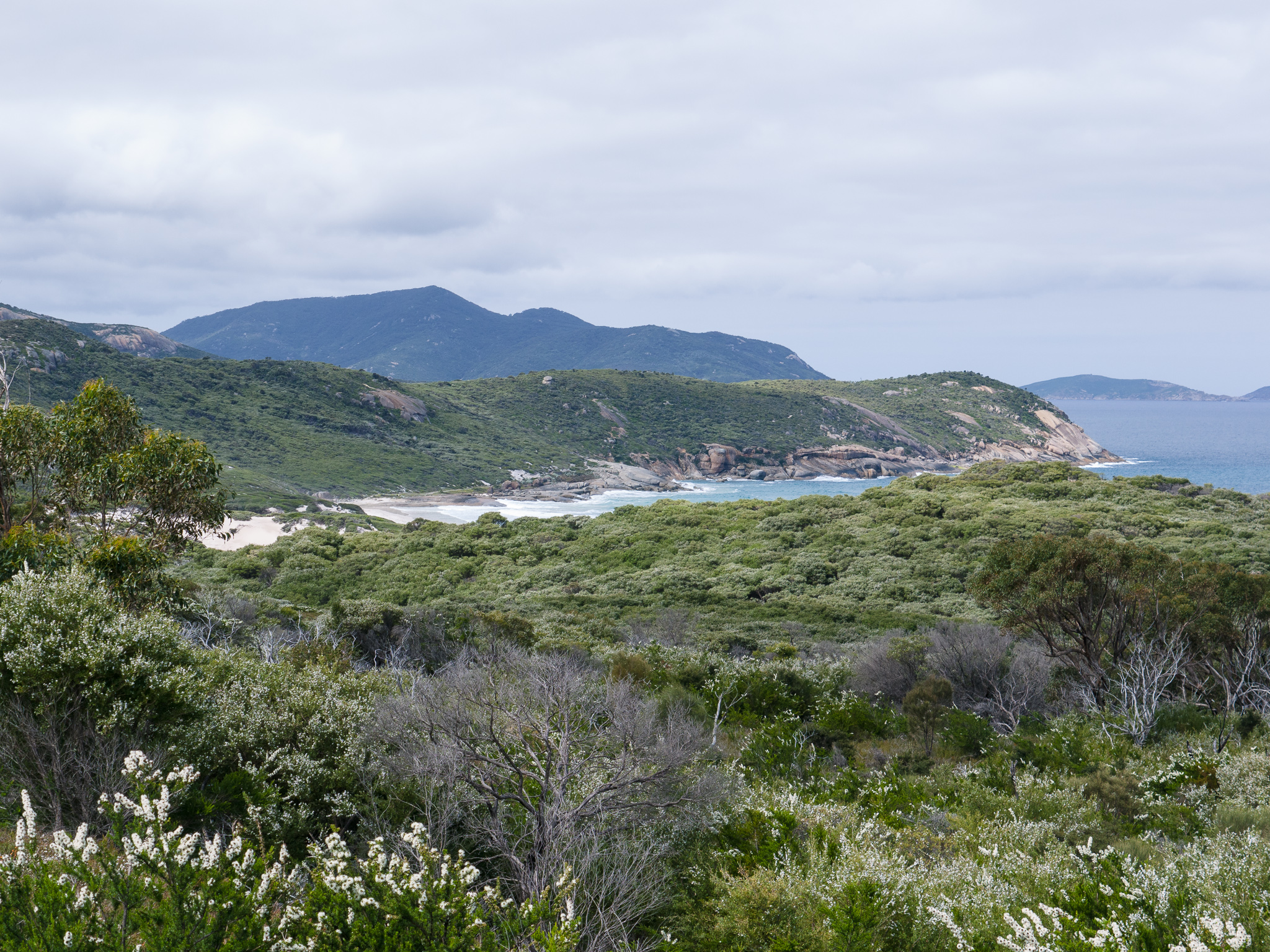
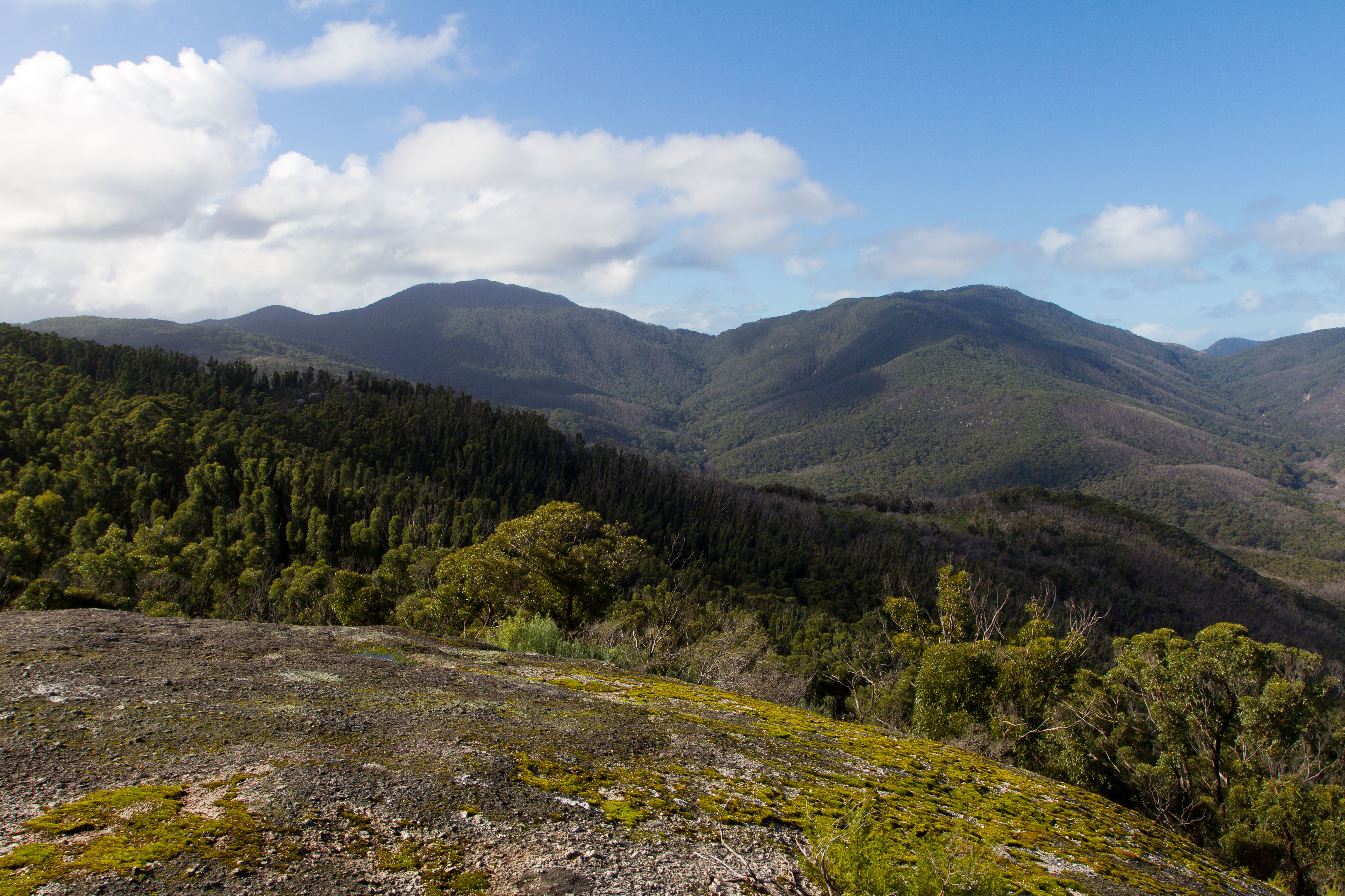
View from Mt. Bishop
Oberon View
Wilsons Prom
View from Mt. Bishop
View from Mt. Bishop
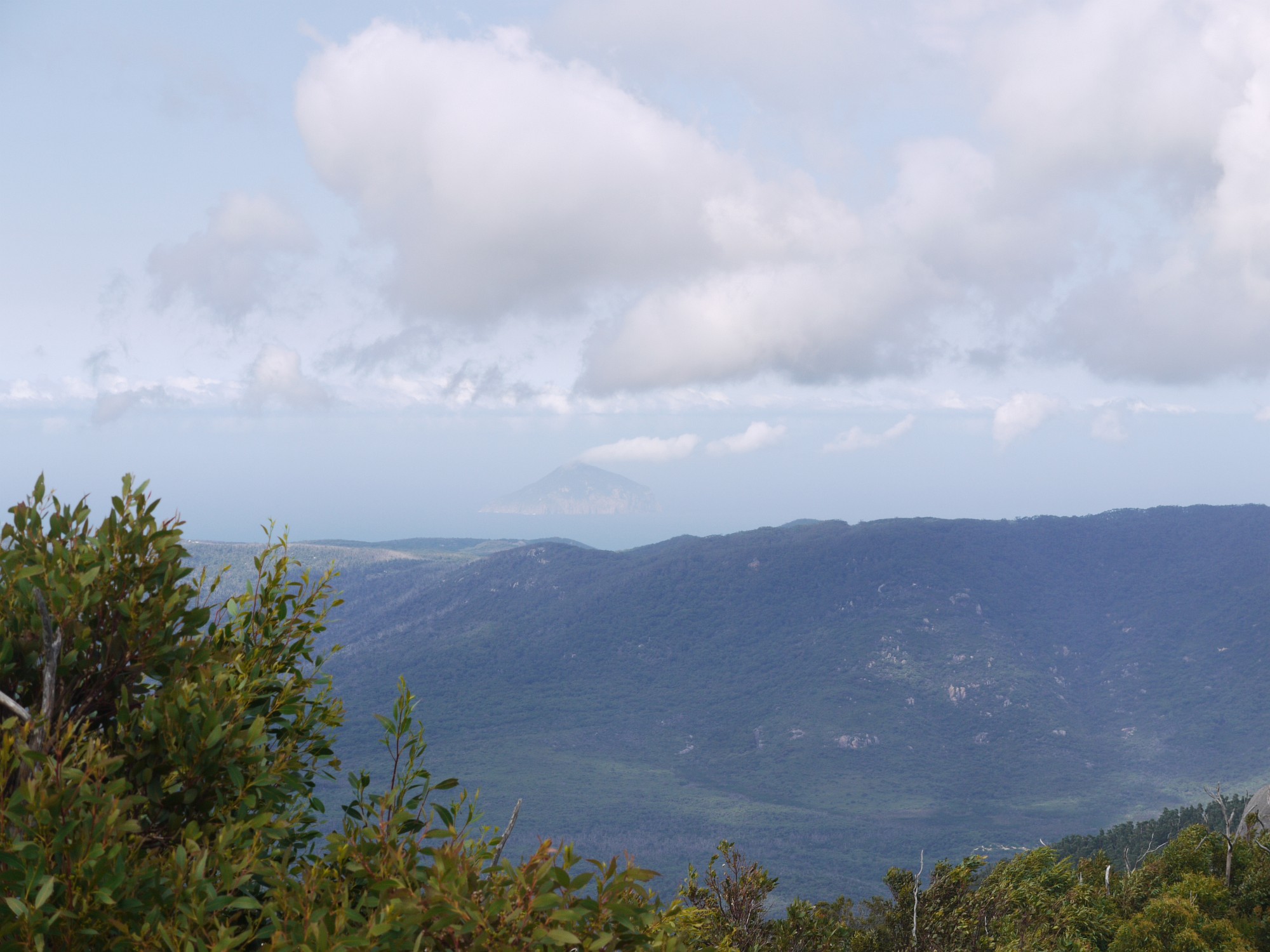
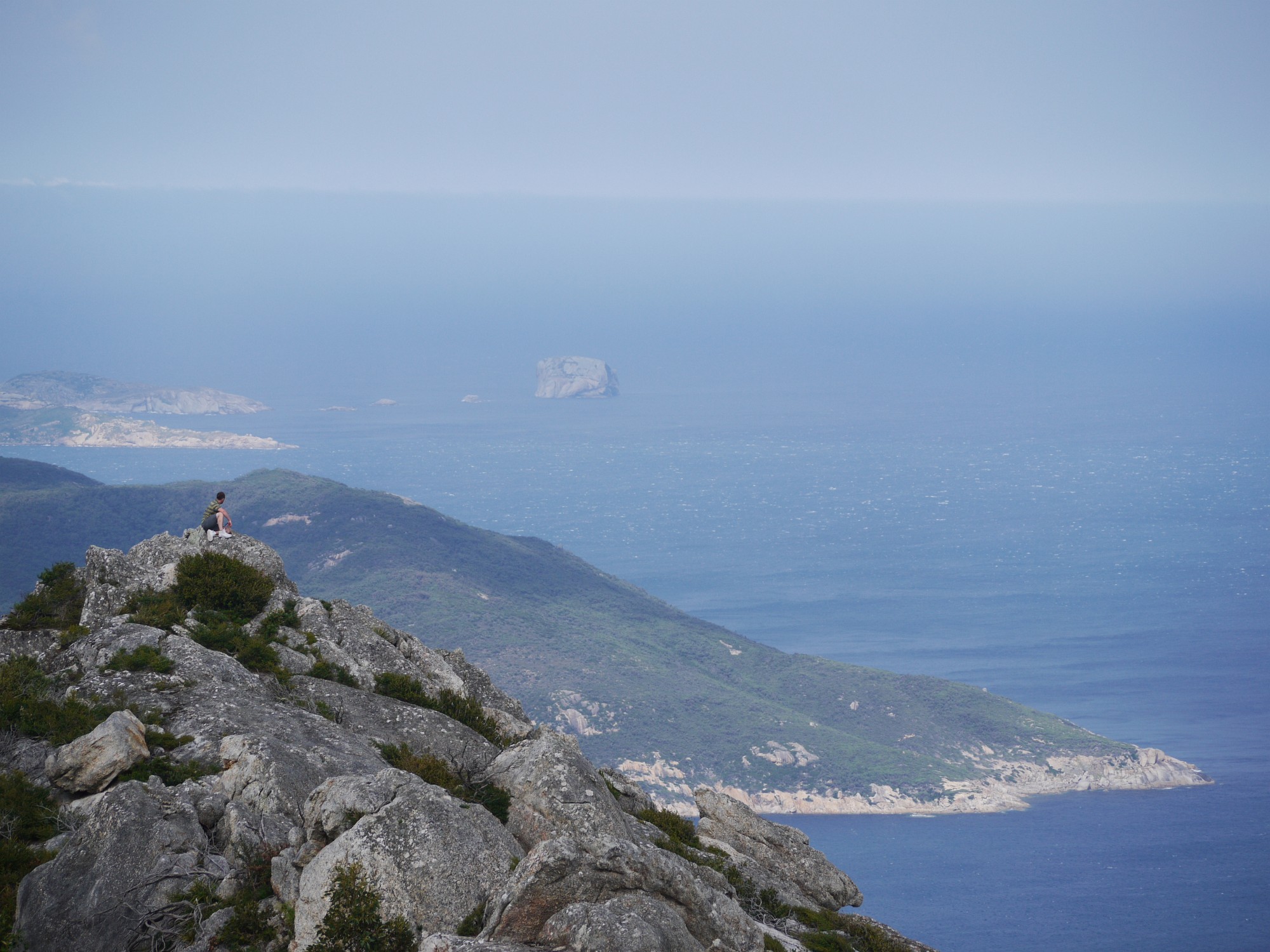
Rodondo Island
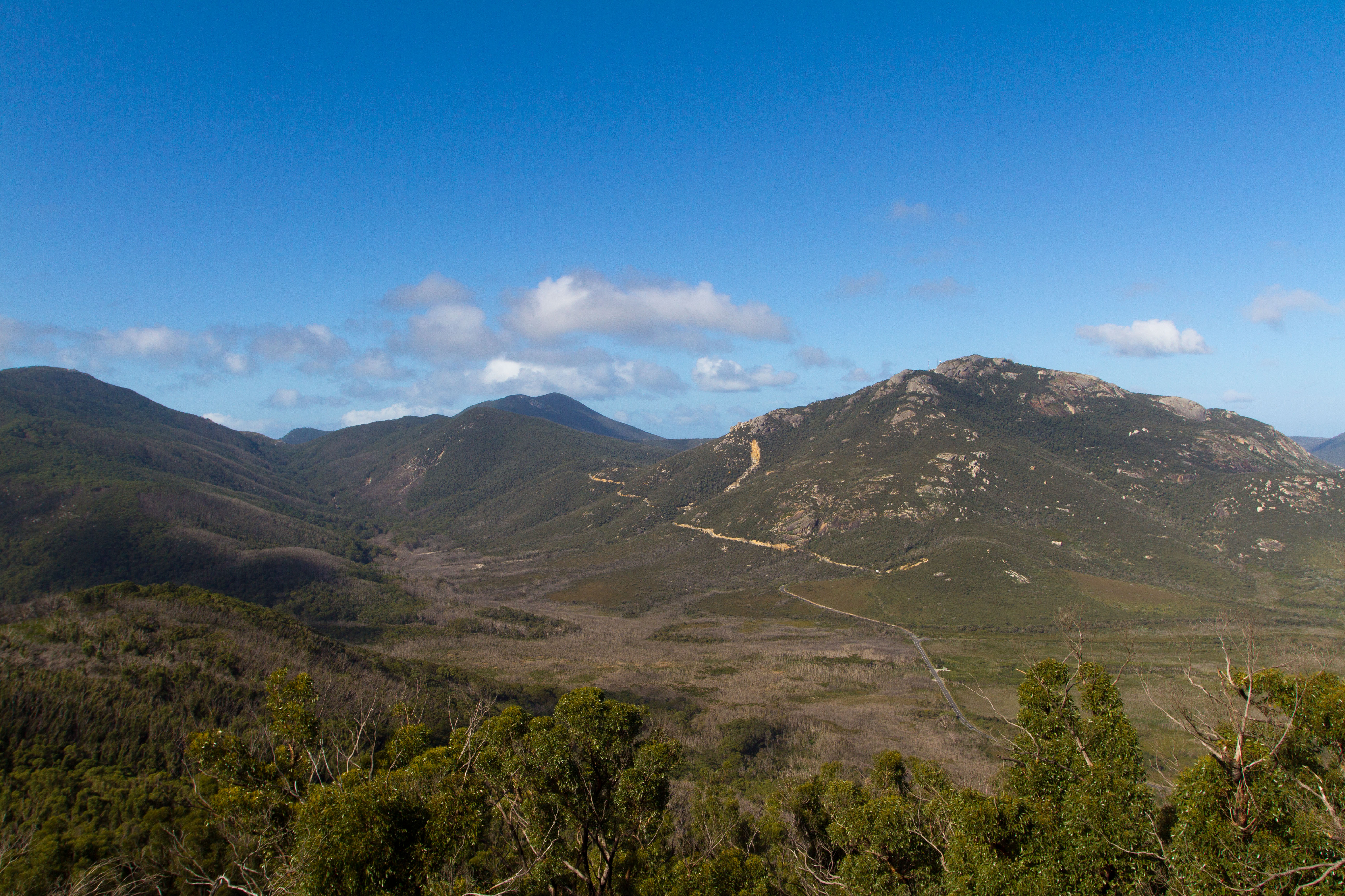
View from Mt. Bishop
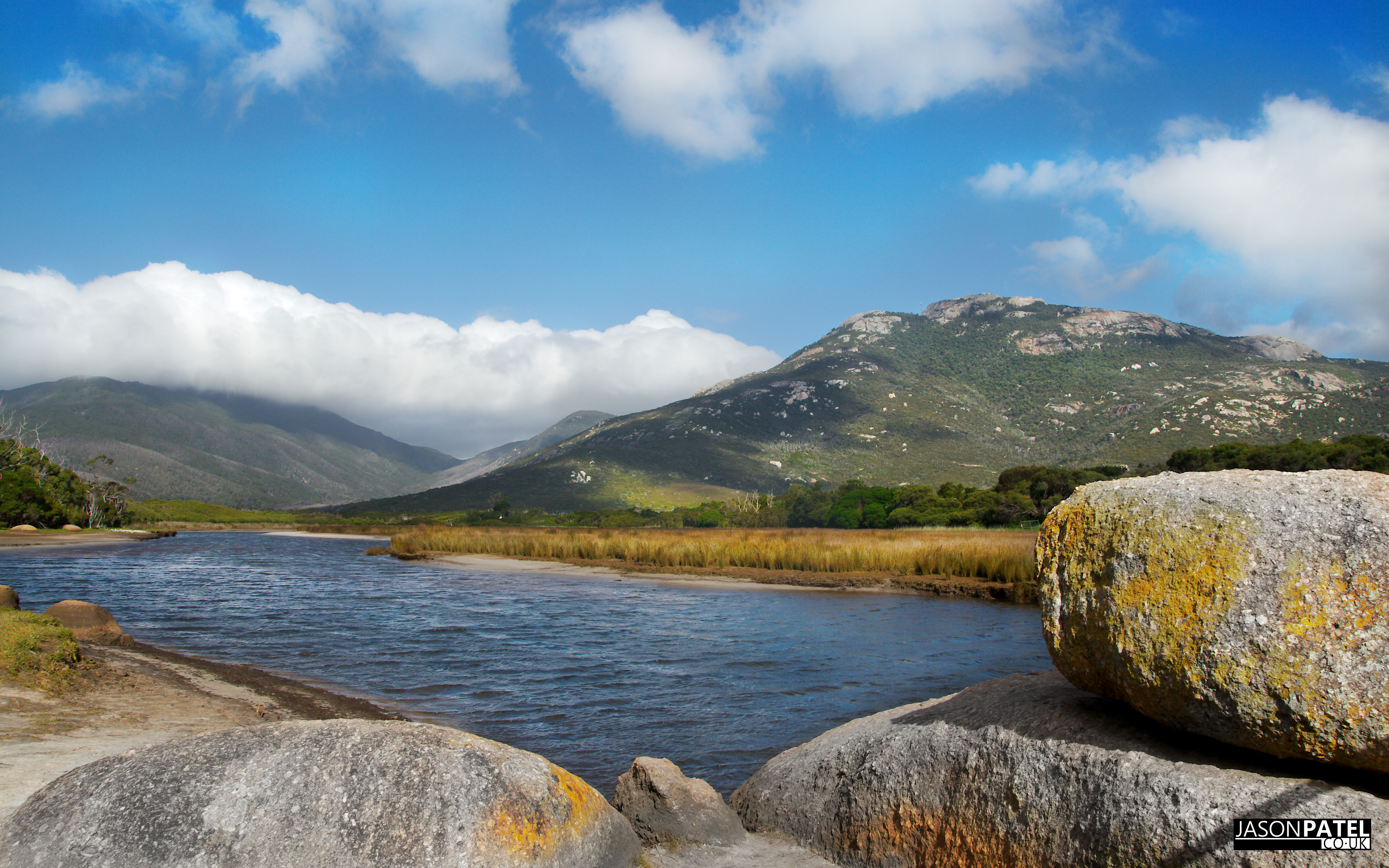
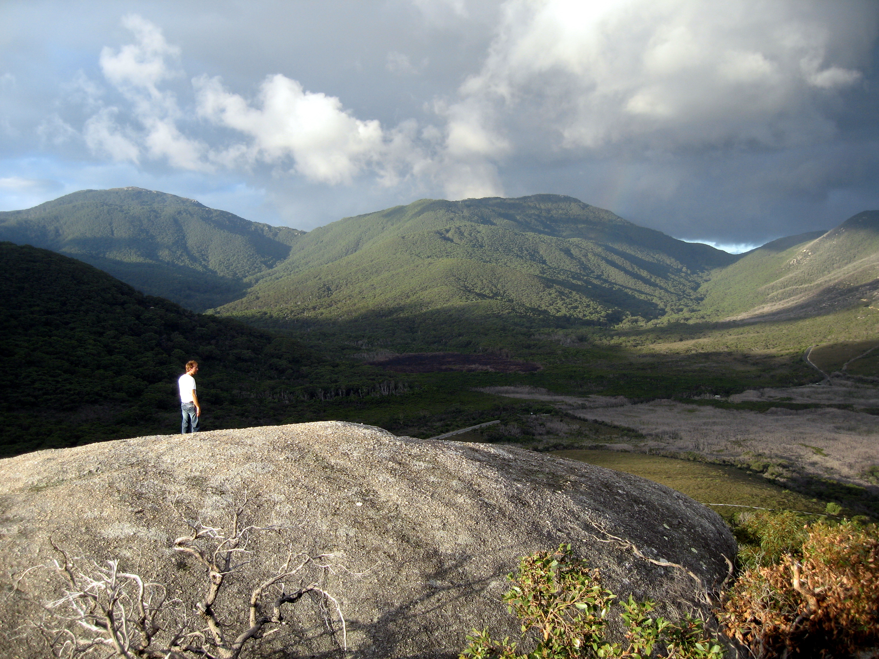
Wilsons Promontory Landscape
microcosm: with a view
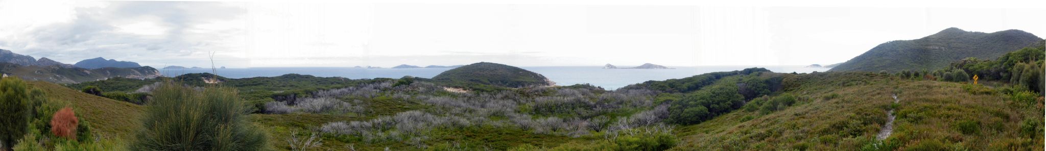
View from Mt Oberon

View near Telegraph Car Park
View from Mt Oberon
Topographic Map of Wilsons Promontory National Park, Wilsons Promontory VIC, Australia
Find elevation by address:

Places near Wilsons Promontory National Park, Wilsons Promontory VIC, Australia:
Toora North
794 Woorarra Rd
Woorarra East
115 Mount Best Tin Mine Rd
Alberton
Manns Beach
Fisher Street
21 Fisher St
Boolarra
200 Vaggs Rd
Yinnar
Churchill
Latrobe City
Morwell
8 Gowrie Rise
Woodside Beach
Panorama Drive
Panorama Drive
Boundary Islet
Springrove
Recent Searches:
- Elevation of Corso Fratelli Cairoli, 35, Macerata MC, Italy
- Elevation of Tallevast Rd, Sarasota, FL, USA
- Elevation of 4th St E, Sonoma, CA, USA
- Elevation of Black Hollow Rd, Pennsdale, PA, USA
- Elevation of Oakland Ave, Williamsport, PA, USA
- Elevation of Pedrógão Grande, Portugal
- Elevation of Klee Dr, Martinsburg, WV, USA
- Elevation of Via Roma, Pieranica CR, Italy
- Elevation of Tavkvetili Mountain, Georgia
- Elevation of Hartfords Bluff Cir, Mt Pleasant, SC, USA