Elevation of Wilson, OK, USA
Location: United States > Oklahoma > Carter County >
Longitude: -97.425855
Latitude: 34.1620385
Elevation: 285m / 935feet
Barometric Pressure: 98KPa
Elevation Map:
Satellite Map:
Related Photos:

The Wall

George B. Orr Building (Wilson, Oklahoma)
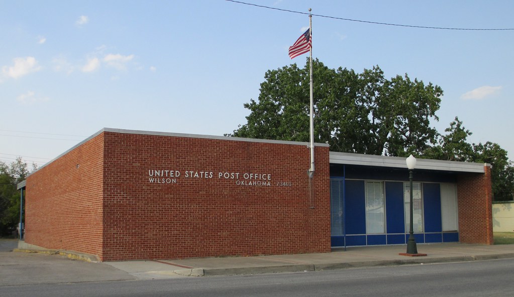
Post Office 73463 (Wilson, Oklahoma)
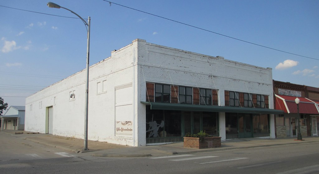
Storefront Block (Wilson, Oklahoma)

Rear Flank Downdraft

Rear Flank Downdraft

Post Office 73438 (Healdton, Oklahoma)

Post Office 73456 (Ringling, Oklahoma)
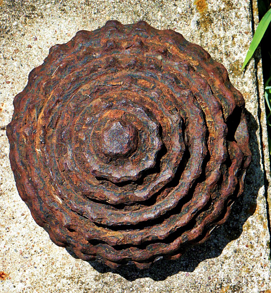
oil well drill bit

SNV80346.JPG

Lone Grove Tornado

Full Rainbow over Ardmore, OK

Bill on tractor

Great Grandpa William Lee
Grandpa Lon Lee
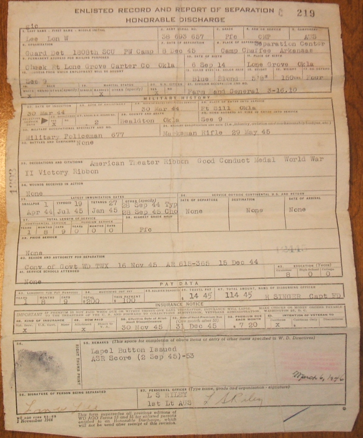
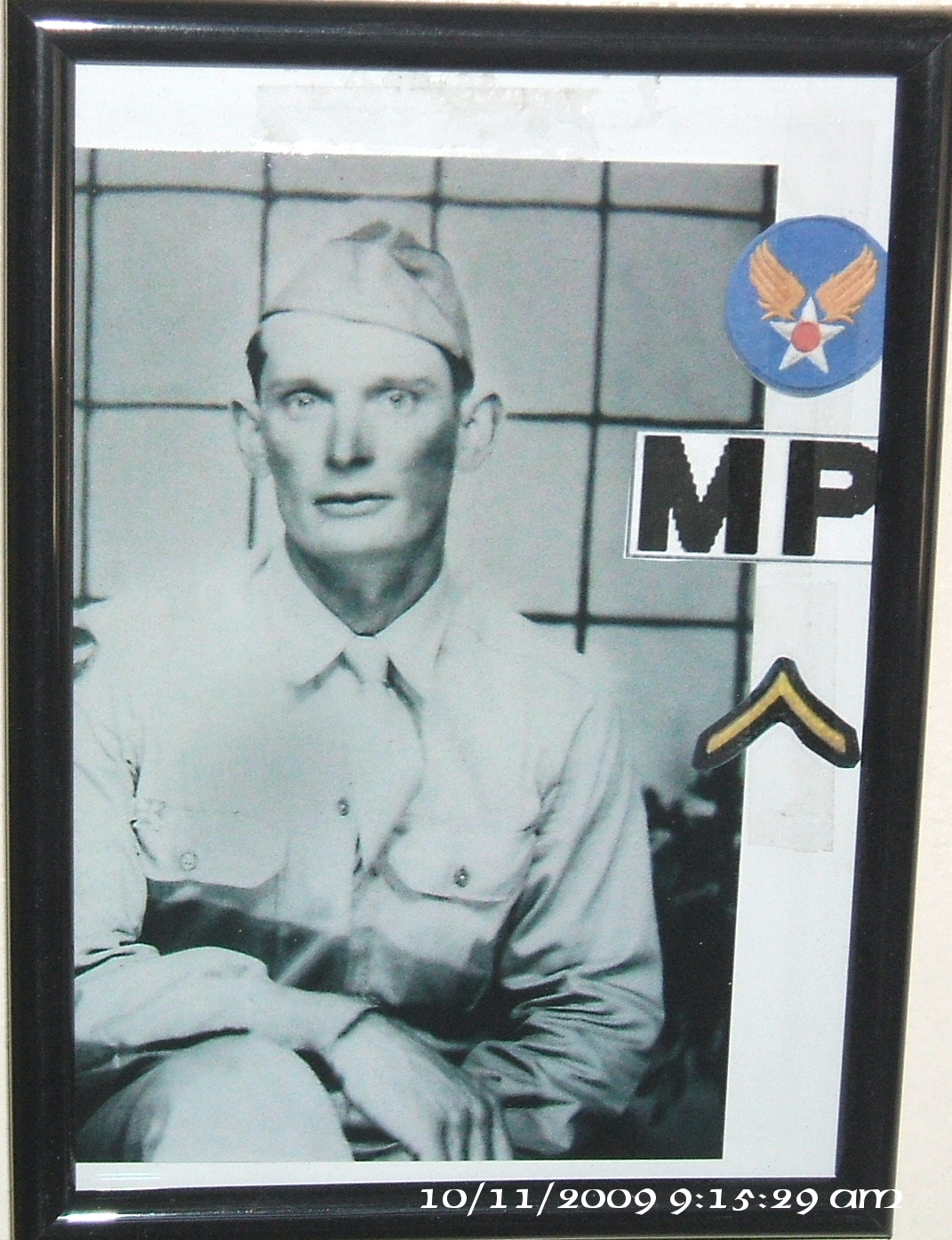
Grandpa Lon's Milt. Discharge #002
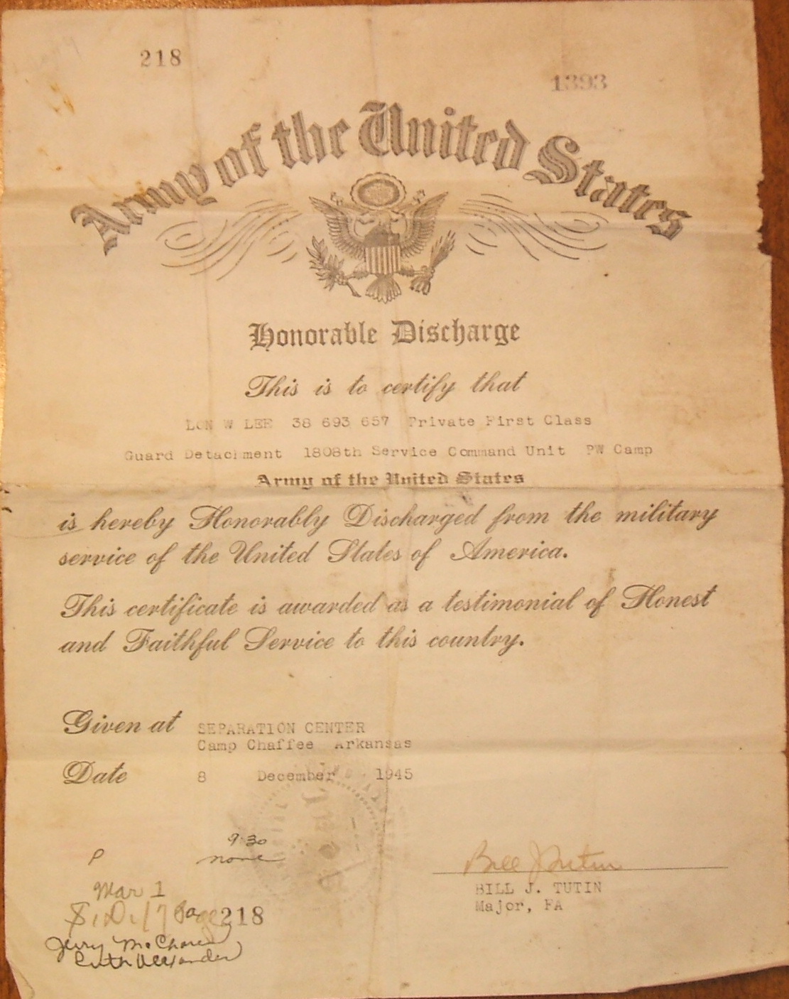
Grandpa Lon's Milt. Discharge #001

Grandma Lee

Grandpa Lee

Uncle Roger

Grandpa Lee
Topographic Map of Wilson, OK, USA
Find elevation by address:

Places in Wilson, OK, USA:
Places near Wilson, OK, USA:
Wildflower Rd, Wilson, OK, USA
Carter County
1250 Newport Rd
Lone Grove
Lone Grove
Ringling
N 5th St, Ringling, OK, USA
N Newport Rd, Lone Grove, OK, USA
Graham
Brock Rd, Ardmore, OK, USA
Samedan Rd, Ardmore, OK, USA
4th St, Graham, OK, USA
Keltner Road
OK-32, Burneyville, OK, USA
179 Yorktown Rd
Plainview High School
10690 Keltner Rd
55 Falconhead Dr
11499 Keltner Rd
115 Falconhead Dr
Recent Searches:
- Elevation of Corso Fratelli Cairoli, 35, Macerata MC, Italy
- Elevation of Tallevast Rd, Sarasota, FL, USA
- Elevation of 4th St E, Sonoma, CA, USA
- Elevation of Black Hollow Rd, Pennsdale, PA, USA
- Elevation of Oakland Ave, Williamsport, PA, USA
- Elevation of Pedrógão Grande, Portugal
- Elevation of Klee Dr, Martinsburg, WV, USA
- Elevation of Via Roma, Pieranica CR, Italy
- Elevation of Tavkvetili Mountain, Georgia
- Elevation of Hartfords Bluff Cir, Mt Pleasant, SC, USA