Elevation of Wilson Cir, Springfield, GA, USA
Location: United States > Georgia > Effingham County > Springfield >
Longitude: -81.277861
Latitude: 32.366164
Elevation: -10000m / -32808feet
Barometric Pressure: 295KPa
Elevation Map:
Satellite Map:
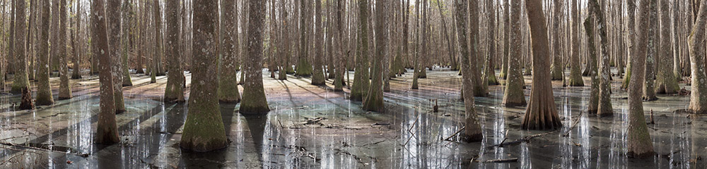
Related Photos:

Surprise!

Effingham Courthouse Painting

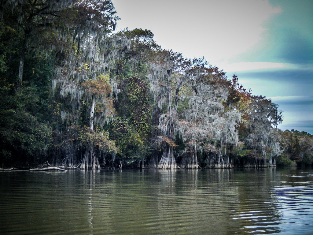
Paddling in the Oxbow Lake

Approaching the Wrecked Barge

Heading Back to the River
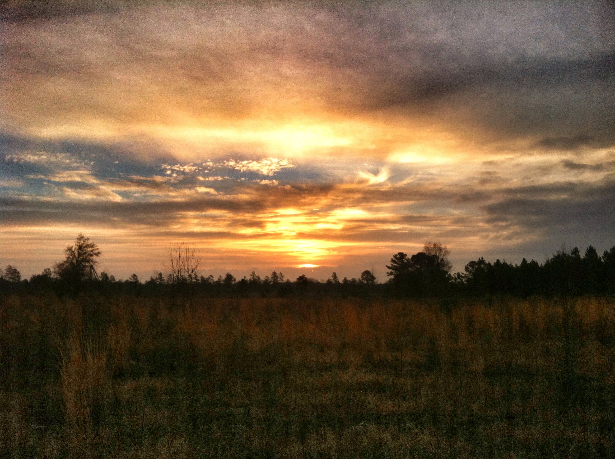
Friday Sunrises are best

A December Sunset...

Becks Ferry Landing, 1_2, 11/26/09, Jasper County SC

July22 (14 of 115)

Hummingbird-2859
Pot Of Color

Unknown---- Argiope aurantia

From this morning after the mist began to clear.

Savannah River from Stokes Bluff with LCU Nov 7, 2014, 4-18 PM Nov 8, 2014, 3-006

Approaching the Railroad Trestle
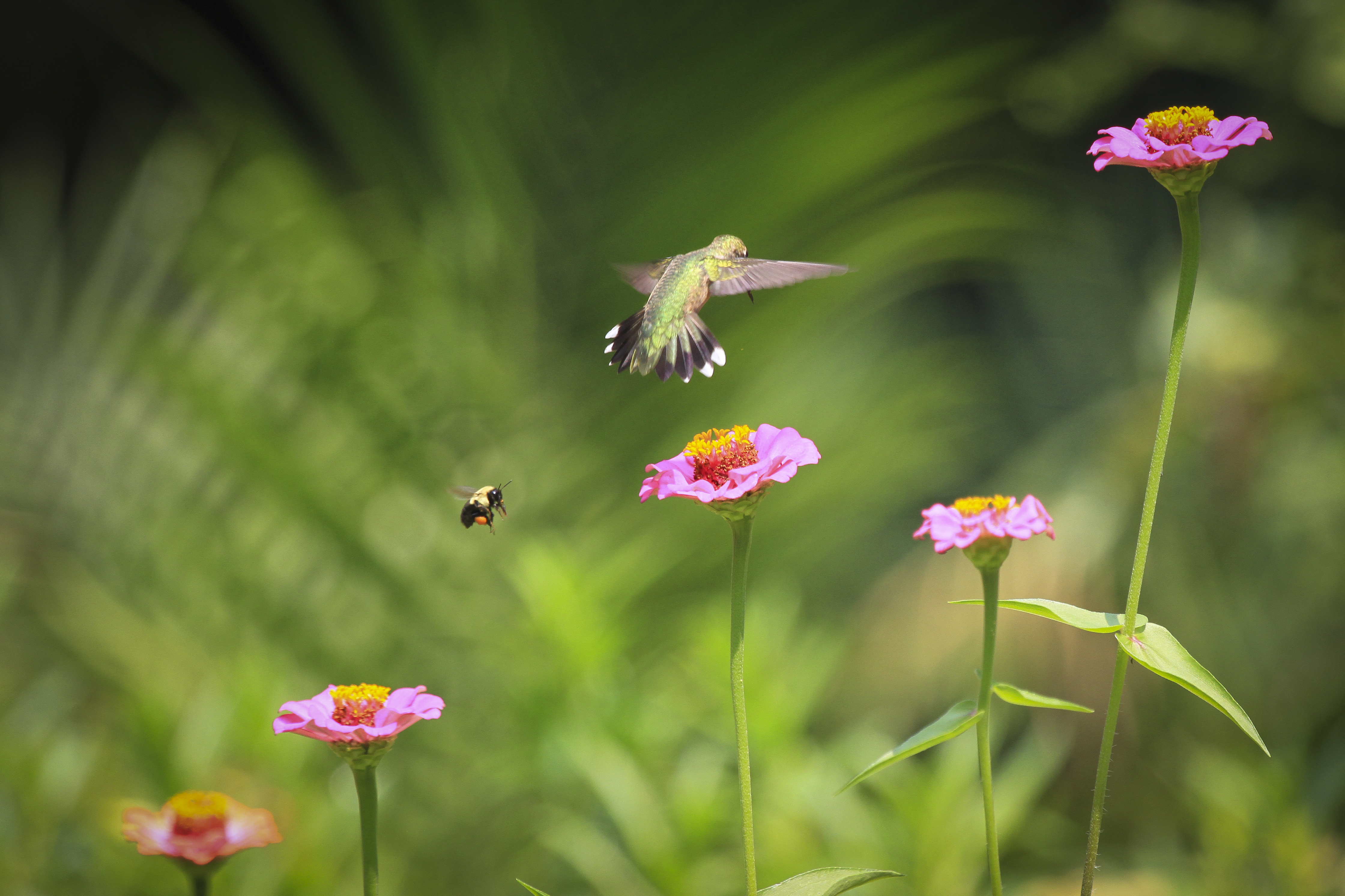
Hummingbird-2796
Savannah River from Stokes Bluff with LCU Nov 7, 2014, 4-18 PM Nov 8, 2014, 2-048

Savannah River from Stokes Bluff with LCU Nov 7, 2014, 4-18 PM Nov 8, 2014, 2-058

Give me beer !

Rough Rider
B & C Landing 14_6, Jasper County SC, 02/10/10

Savannah River from Stokes Bluff with LCU Nov 7, 2014, 4-18 PM Nov 8, 2014, 2-54 PM
Topographic Map of Wilson Cir, Springfield, GA, USA
Find elevation by address:

Places near Wilson Cir, Springfield, GA, USA:
523 Stillwell Rd
490 Stillwell Rd
300 Log Landing Rd
530 Log Landing Rd
1952 Ga-21
105 Shadow Creek Dr
189 Ralph Rahn Rd
708 Ash St Ext
103 Cornerstone Drive
371 Hawk Hammock Rd #365
220 Wood Duck Way
127 Co Rd 307
119 Laberta Dr
106 Laberta Dr
303 W 4th St
300 Early St Ext
300 Early St Ext
Springfield
2488 Ga-119
103 2nd Ave
Recent Searches:
- Elevation of 30 Oak Lawn Dr, Barkhamsted, CT, USA
- Elevation of Luther Road, Luther Rd, Auburn, CA, USA
- Elevation of Unnamed Road, Respublika Severnaya Osetiya — Alaniya, Russia
- Elevation of Verkhny Fiagdon, North Ossetia–Alania Republic, Russia
- Elevation of F. Viola Hiway, San Rafael, Bulacan, Philippines
- Elevation of Herbage Dr, Gulfport, MS, USA
- Elevation of Lilac Cir, Haldimand, ON N3W 2G9, Canada
- Elevation of Harrod Branch Road, Harrod Branch Rd, Kentucky, USA
- Elevation of Wyndham Grand Barbados Sam Lords Castle All Inclusive Resort, End of Belair Road, Long Bay, Bridgetown Barbados
- Elevation of Iga Trl, Maggie Valley, NC, USA