Elevation of Wilmore, KY, USA
Location: United States > Kentucky > Jessamine County >
Longitude: -84.661610
Latitude: 37.8620226
Elevation: 271m / 889feet
Barometric Pressure: 98KPa
Elevation Map:
Satellite Map:
Related Photos:
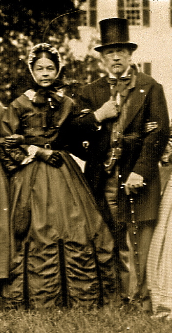
Shaker Village view

#iPhone view of #fullmoon tonight. Naturally, my Nikon w/ telephoto does better #nature #LexingtonKY

View of East Family Brethren's Shop & East Family Dwelling

View from the fourth floor... #EastFamilyDwelling #Bike Trek to Shakertown
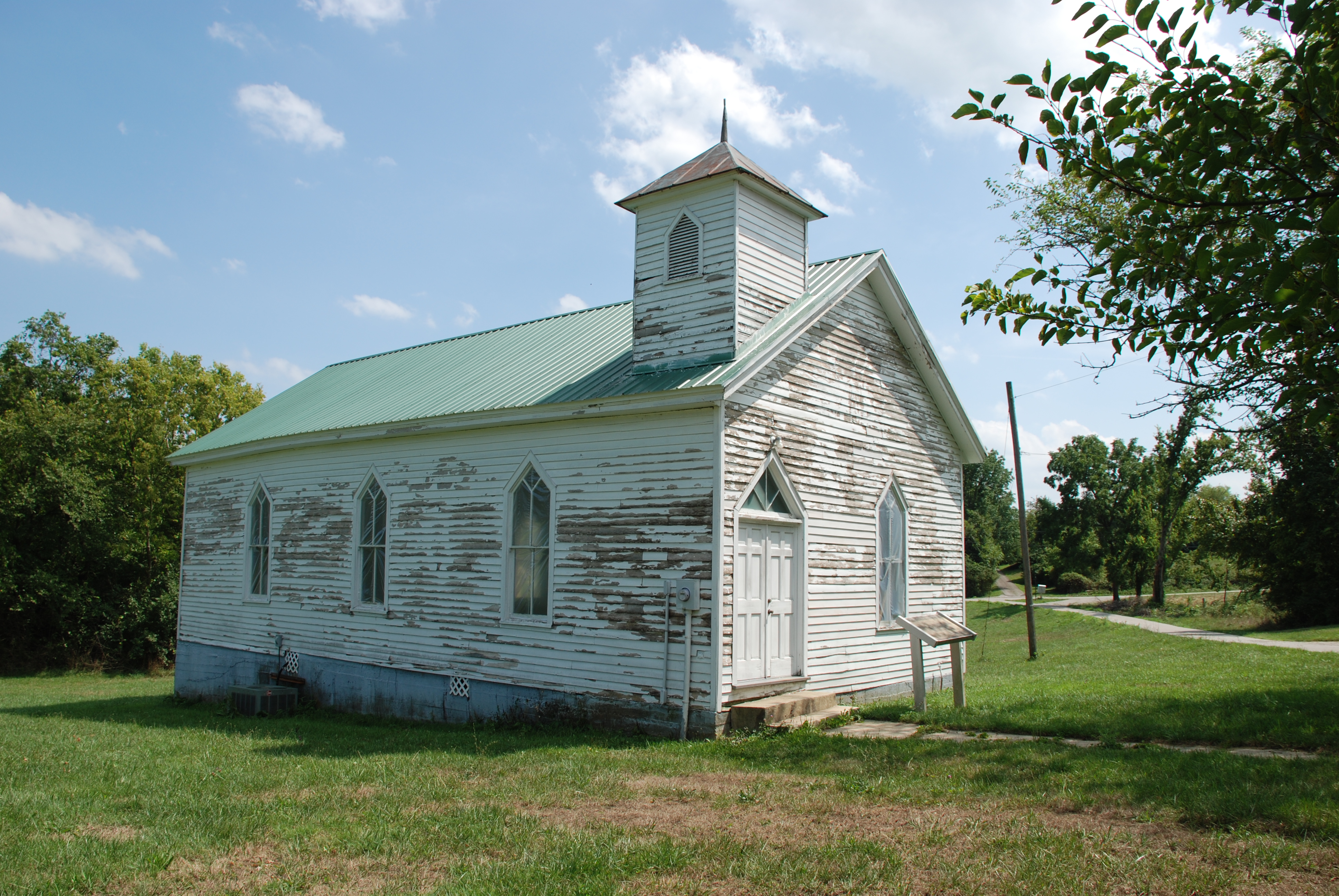
Olde Hall Church

Morning Mist
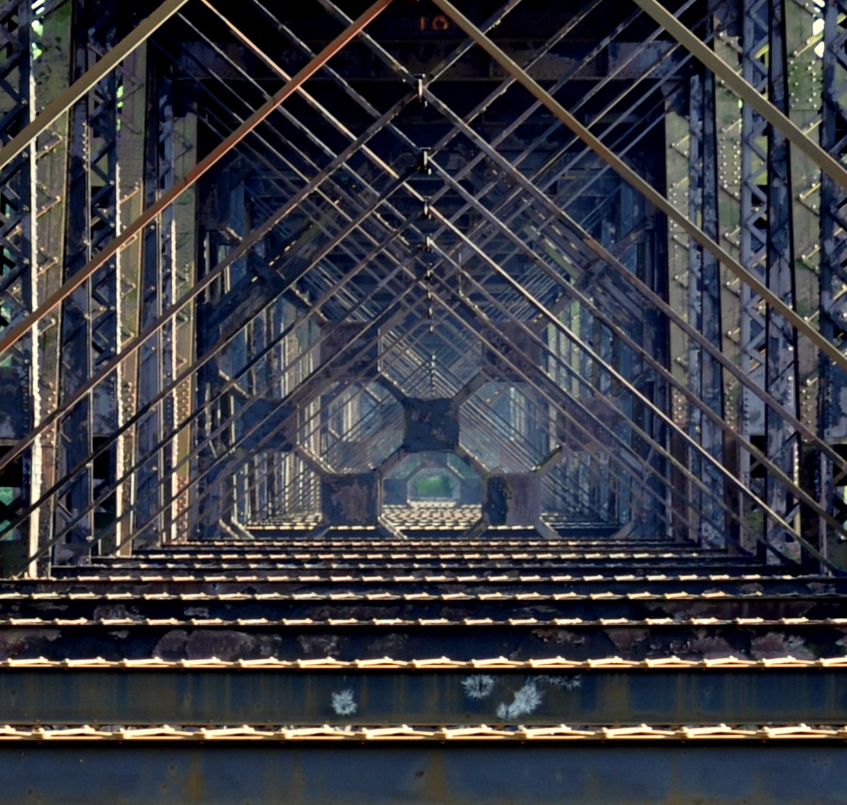
high bridge

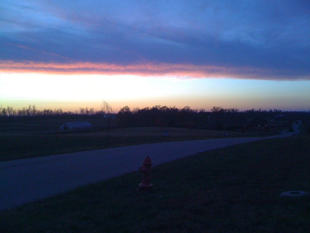
Cold Mornings
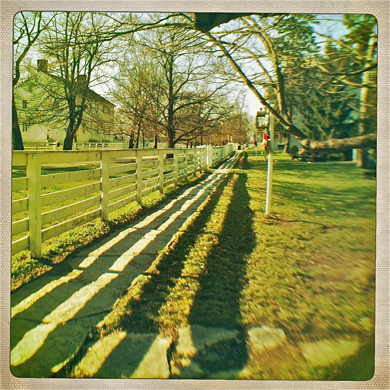
Just a Peek
Shaker Village - Pleasant Hill, Kentucky
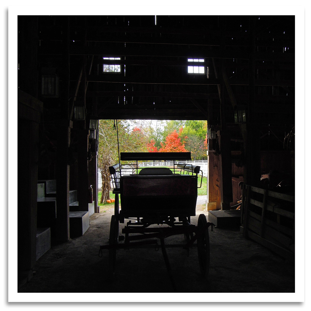
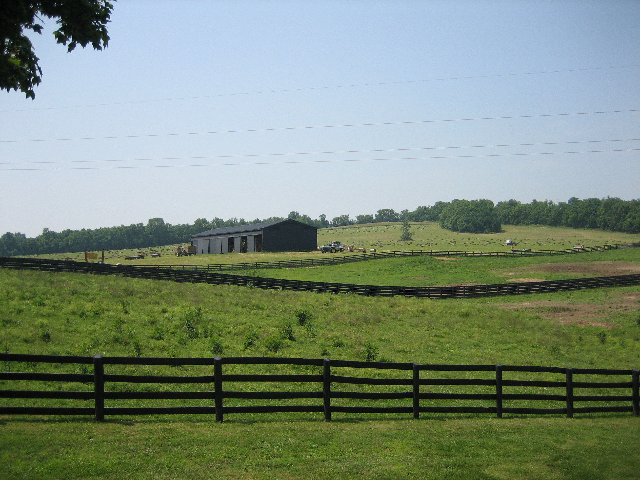
Shaker Barn
View from the East Family Dwelling

Window View

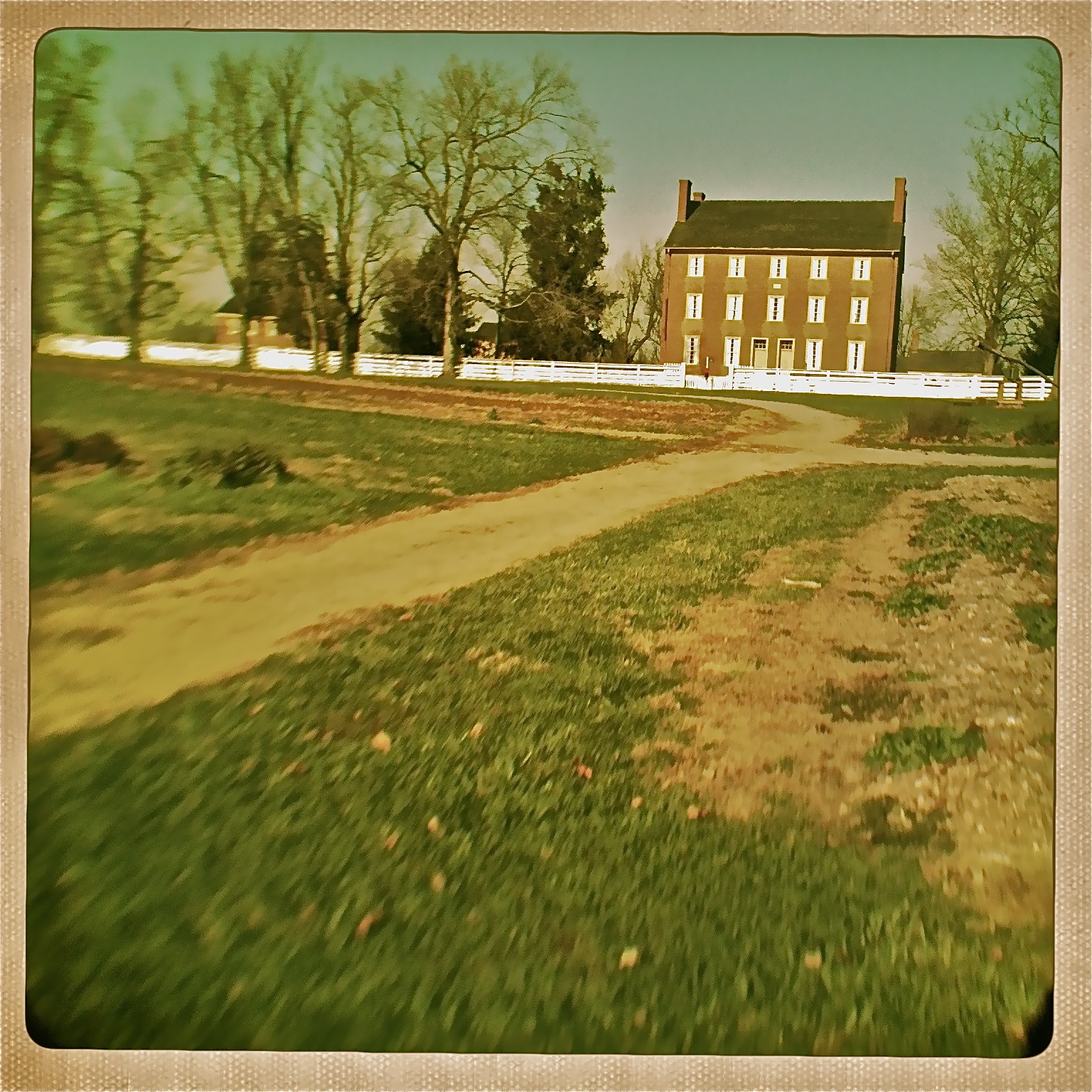
View of the East Family Dwelling

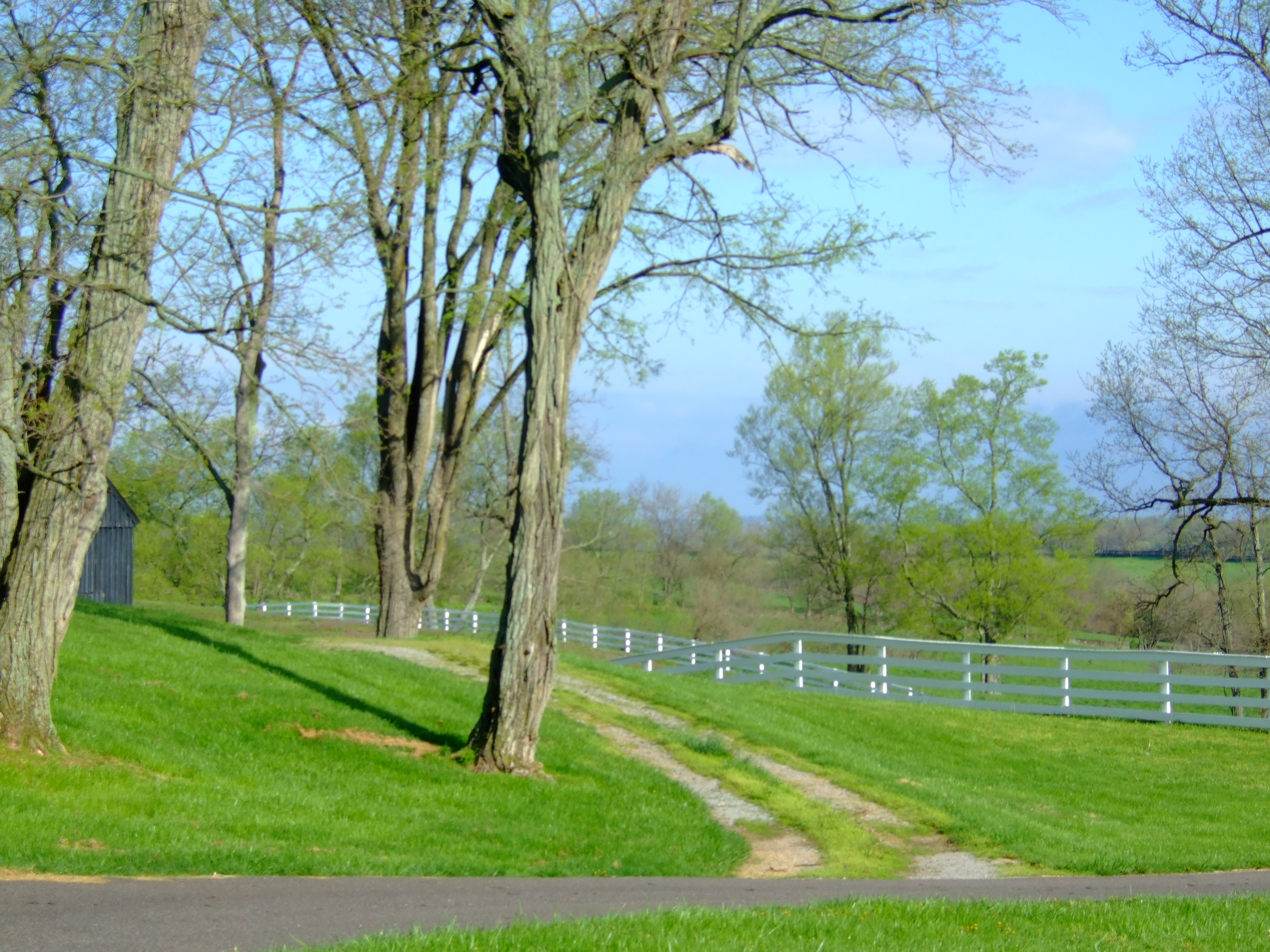
Sunrise Farm

In Her Eyes

Look for the Red Dot

Panoramic Views

View From Shaker Graveyard
View of East Family Dwelling from the Barn
view from my front window this morning.
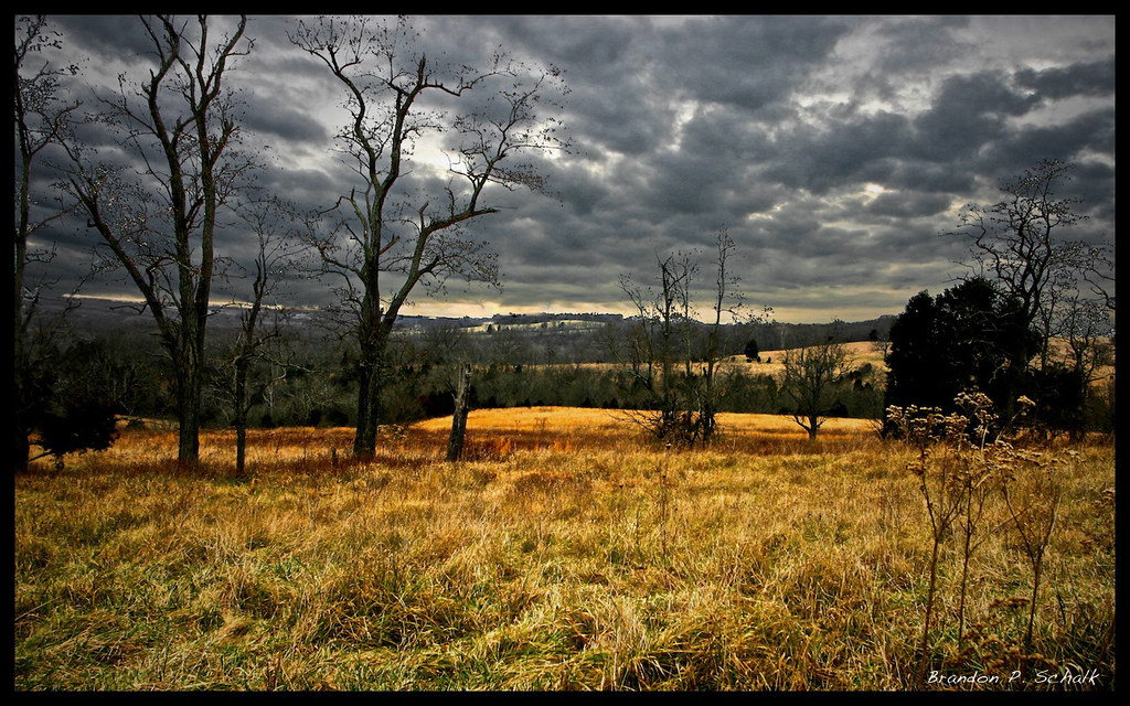
kentucky field

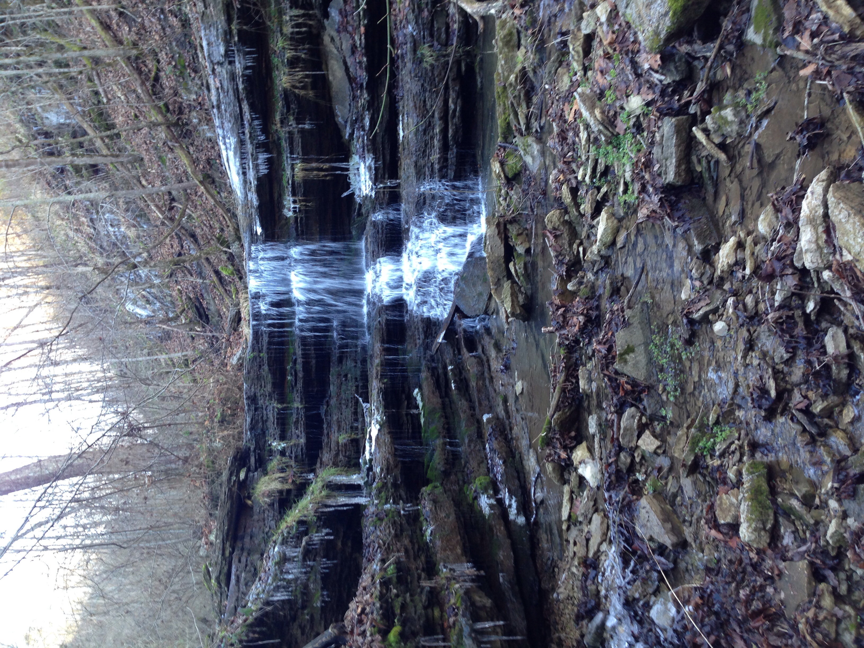
Overstreet Creek
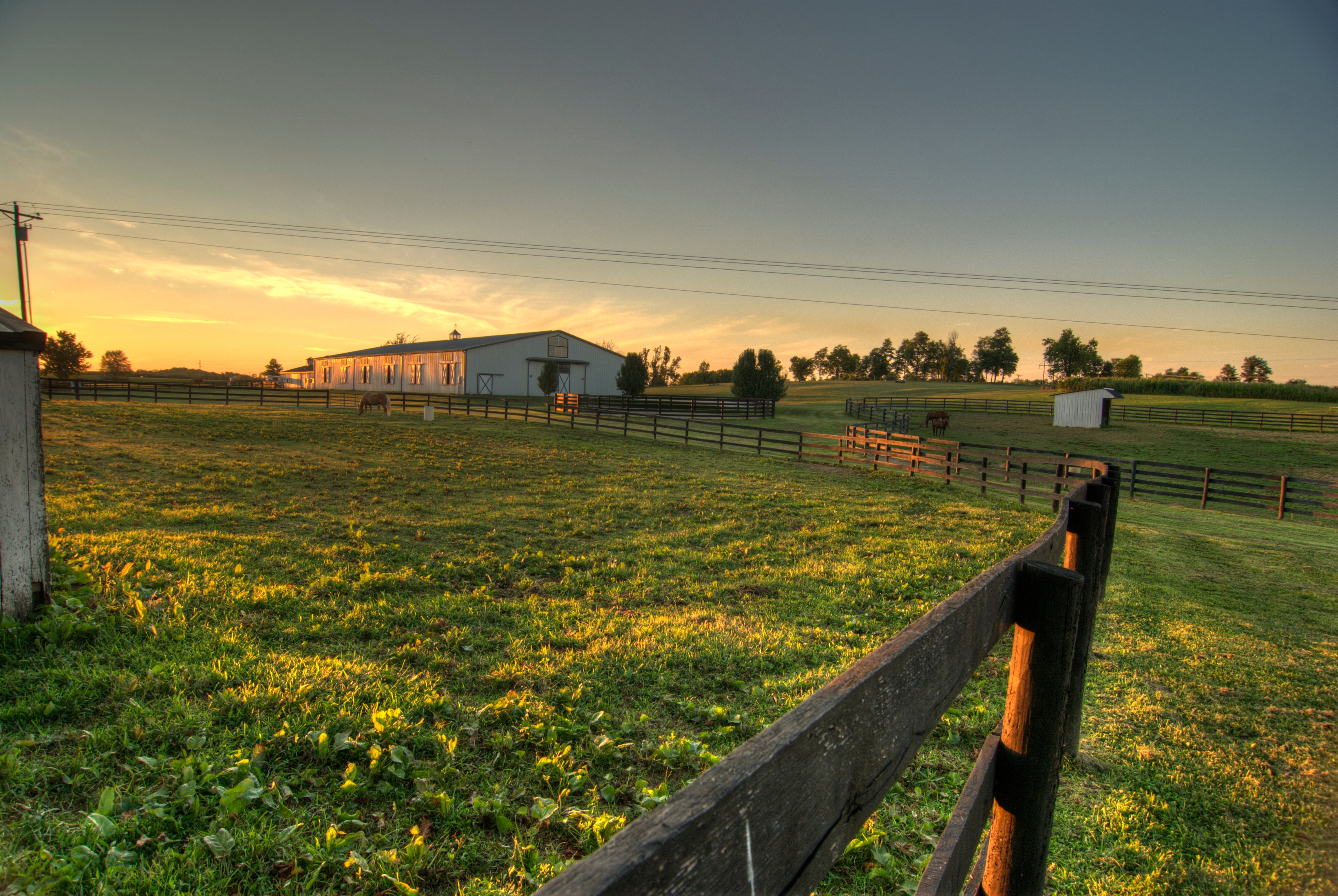
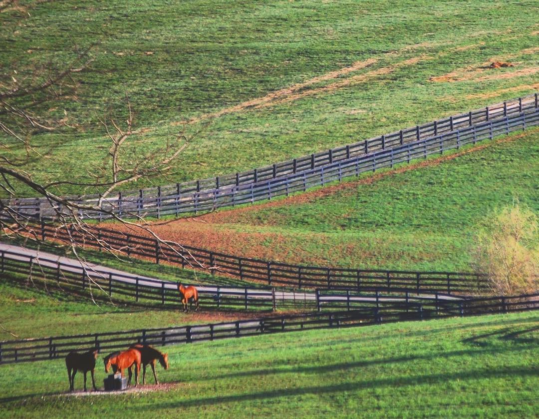
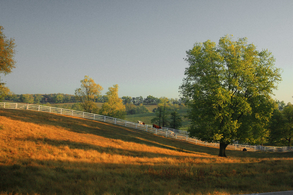
Horse Corrals at Sunset
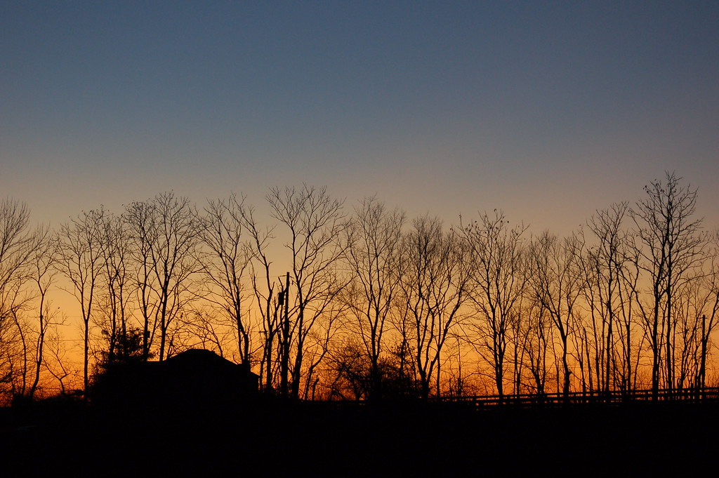
Sunset - Nicholasville
Grazing Horses #horses #horsefarmcountry #visitlex #sharethelex #spring2016 #backroads
2006-12-09.164742

Forsythia in Horse Farm Country #spring2016 #sharethelex #nature #horsefarmcountry #visitlex #kytourism
2006-12-09.164758
Black Shed
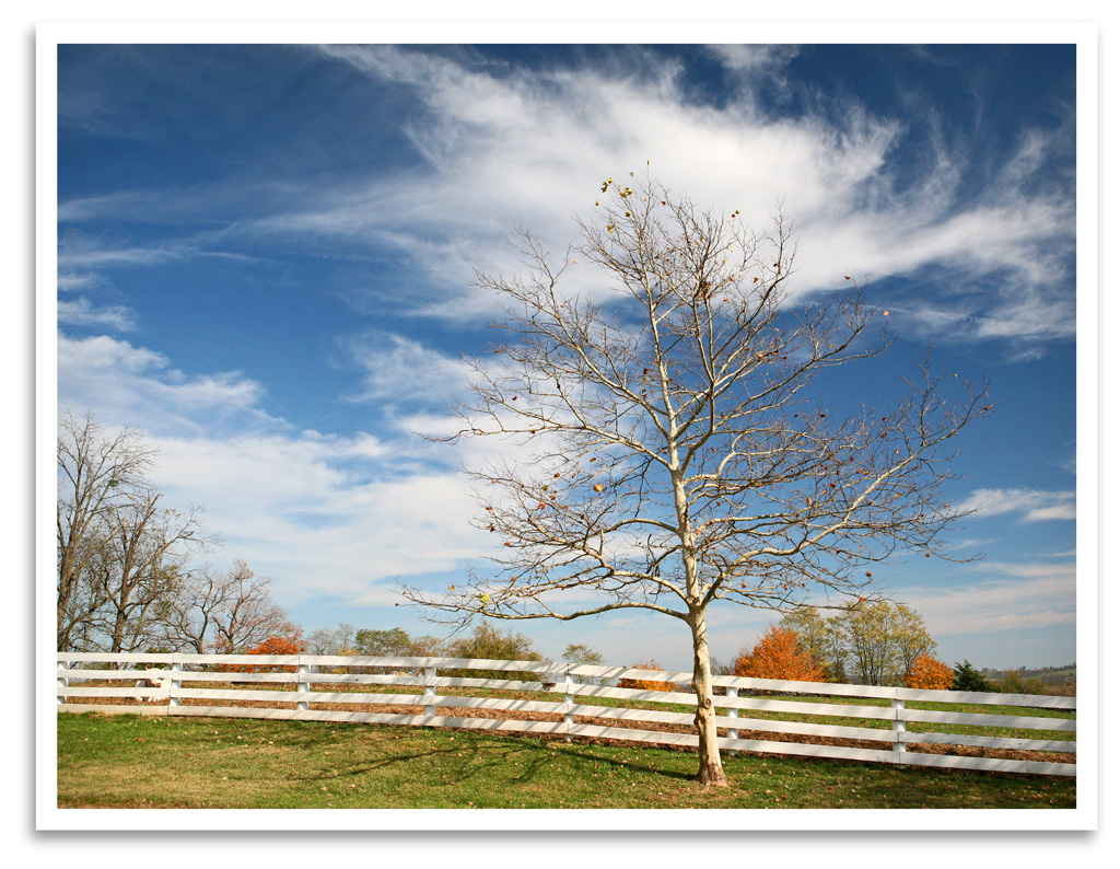
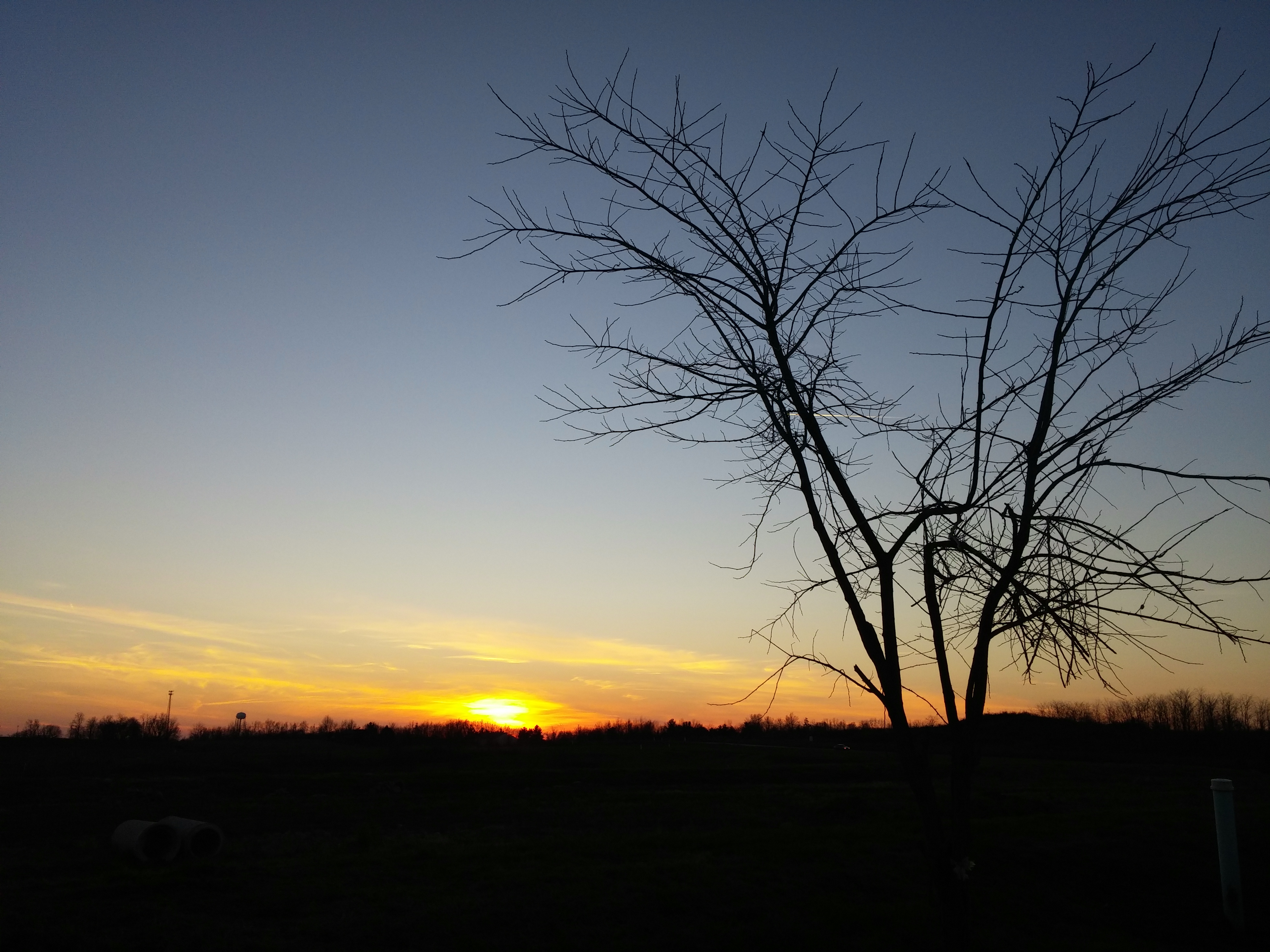
Bare Tree
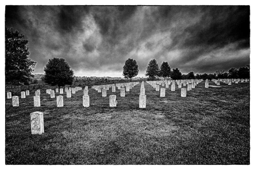
Camp Nelson Cemetary

Little Hickman 4
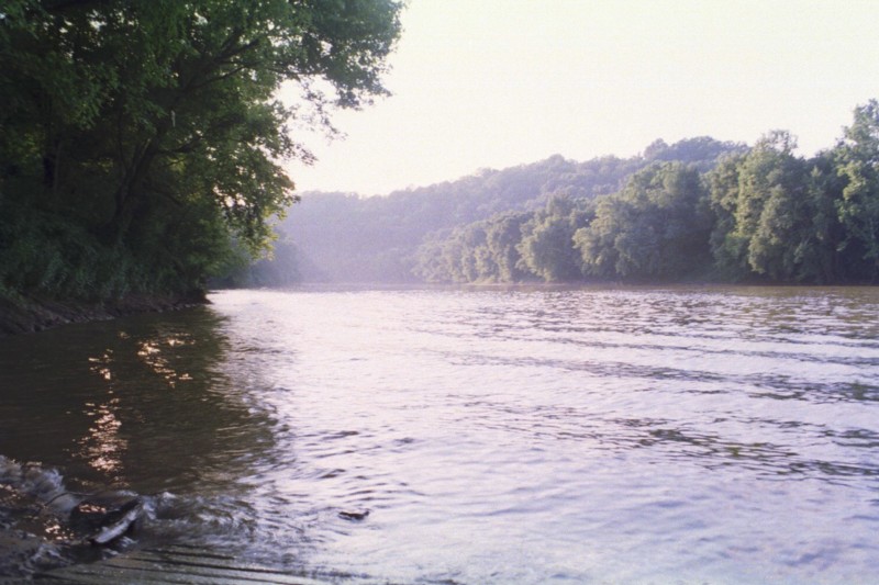
Sunrise over the KY River 3
Wet Ground
2010-11-10 007
kentuky hills

Golden Trail
Shaker Village
No Ferry

WAL★MART:SUPERCENTER
Topographic Map of Wilmore, KY, USA
Find elevation by address:

Places in Wilmore, KY, USA:
Places near Wilmore, KY, USA:
N Lexington Ave, Wilmore, KY, USA
130 Academy Dr
130 Academy Dr
130 Academy Dr
130 Academy Dr
130 Academy Dr
Lebeau Dr, Nicholasville, KY, USA
Troy Pike, Versailles, KY, USA
Carroll Ln, Versailles, KY, USA
KY-, Versailles, KY, USA
Nicholasville
Barbaro Ln, Nicholasville, KY, USA
Jessamine County
Nicholasville, KY, USA
1550 Woods Rd
1550 Woods Rd
Woods Road
Keene Trace Golf Club - Keene Run Course
Logana Rd, Nicholasville, KY, USA
4548 Cranbrook Ct
Recent Searches:
- Elevation of Elwyn Dr, Roanoke Rapids, NC, USA
- Elevation of Congressional Dr, Stevensville, MD, USA
- Elevation of Bellview Rd, McLean, VA, USA
- Elevation of Stage Island Rd, Chatham, MA, USA
- Elevation of Shibuya Scramble Crossing, 21 Udagawacho, Shibuya City, Tokyo -, Japan
- Elevation of Jadagoniai, Kaunas District Municipality, Lithuania
- Elevation of Pagonija rock, Kranto 7-oji g. 8"N, Kaunas, Lithuania
- Elevation of Co Rd 87, Jamestown, CO, USA
- Elevation of Tenjo, Cundinamarca, Colombia
- Elevation of Côte-des-Neiges, Montreal, QC H4A 3J6, Canada