Elevation of Willow Oak Ct, Canyon Country, CA, USA
Location: United States > California > Los Angeles County > Canyon Country >
Longitude: -118.44045
Latitude: 34.409536
Elevation: 465m / 1526feet
Barometric Pressure: 96KPa
Elevation Map:
Satellite Map:
Related Photos:
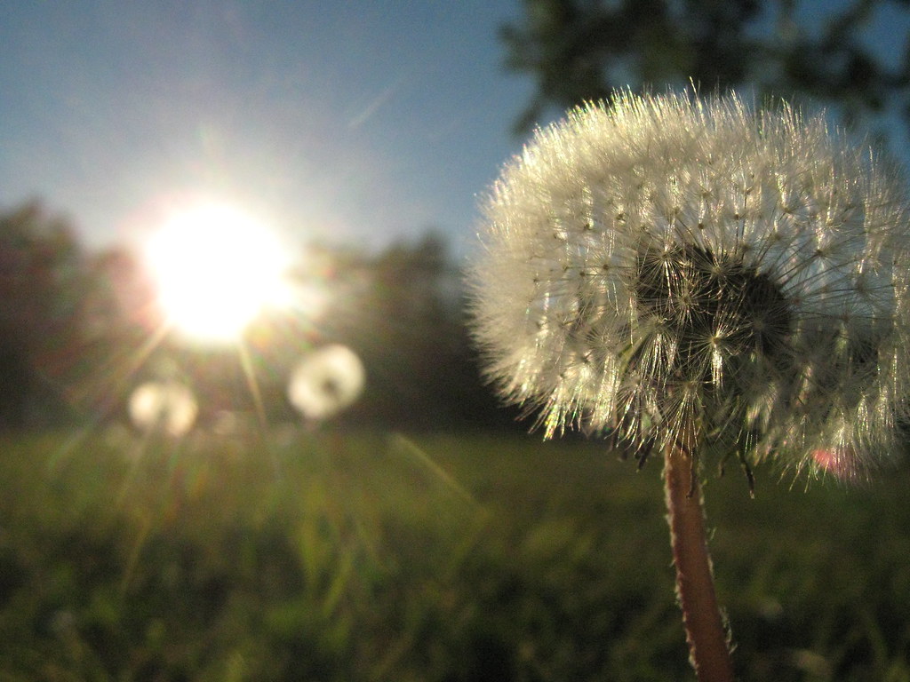
Make a Wish....

"i am always wandering around in enigmas." -m.c. escher

Bill Stover

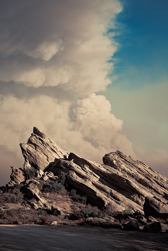
Vasquez Rocks on a Blood Moon Night
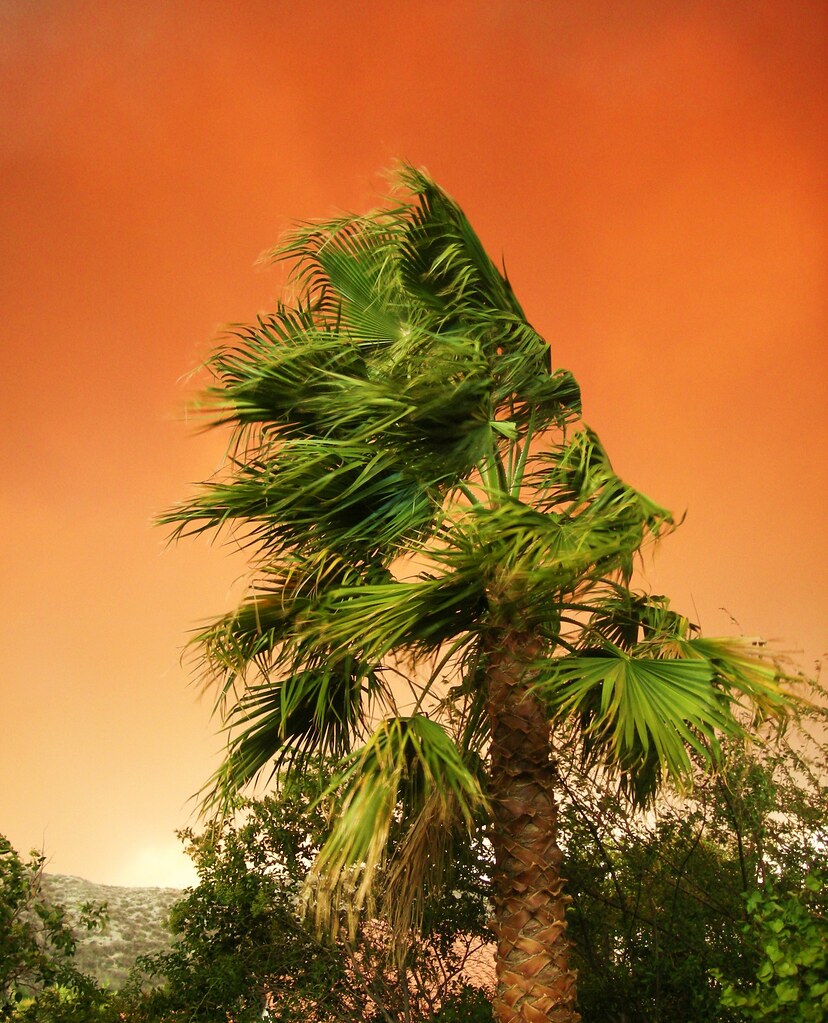
Fuego - Aqua Dulce
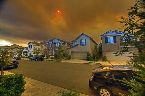
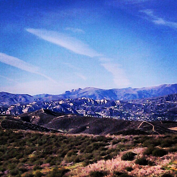
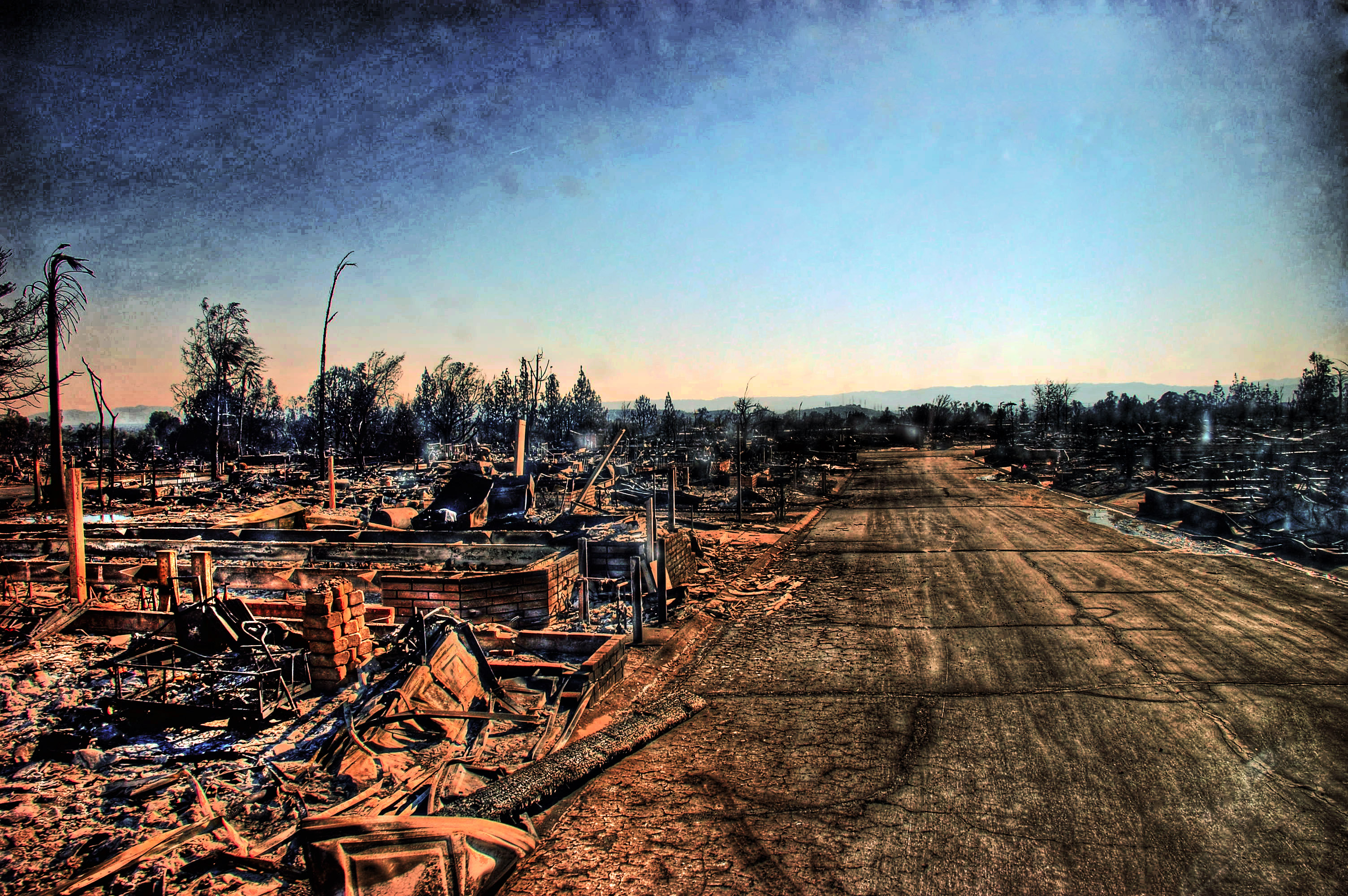
Canyon Country Fire, Santa Clarita, California

"i am always wandering around in enigmas." -m.c. escher [v2.0]
Santa Clarita, California. 10.21.07.

20090904-StationFire-BLM-Ranger-019

071109-AHA-misc-SS-001

20090830-StationFire-LAFD-Sedan-003

Vasquez Rocks: Near Car Park
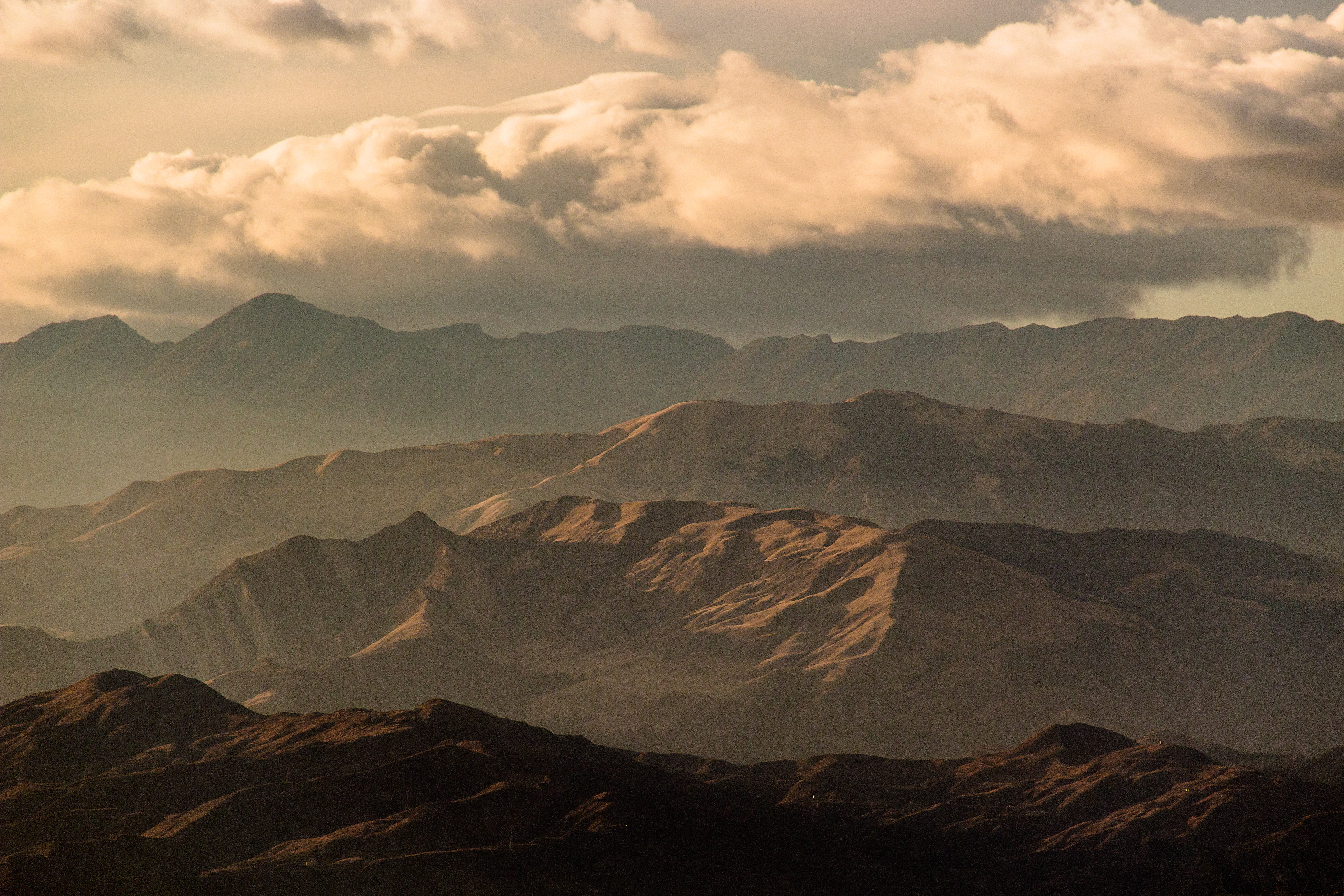
View from #Tapia canyon #mountain
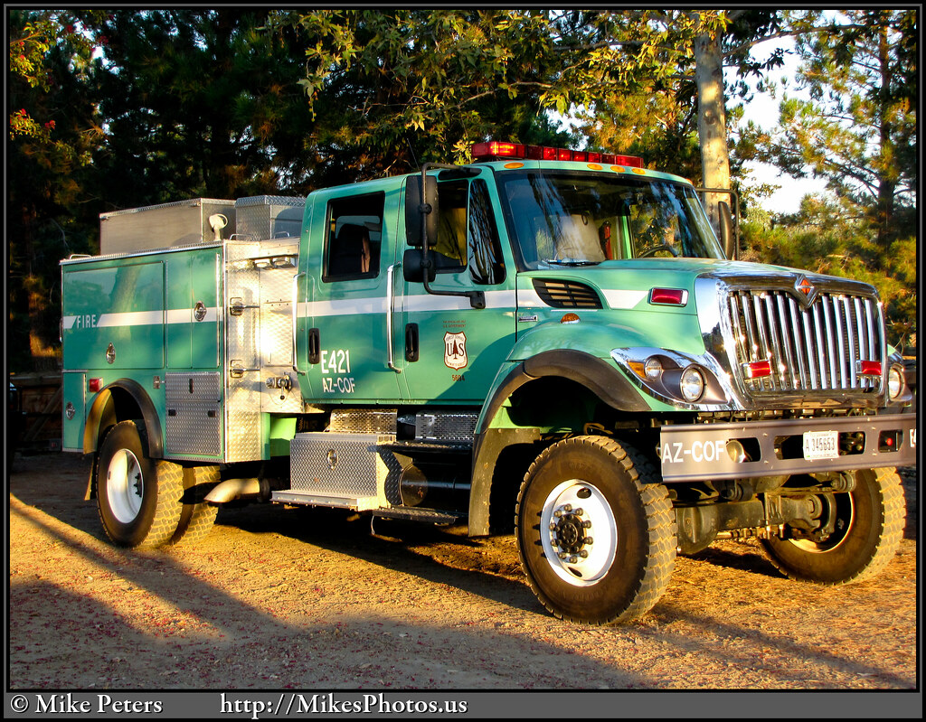
20090830-StationFire-USFS-COF-E421-003a
20090904-StationFire-USFS-Carson-SUPT3020-002

Here to watch the USC game, but I'm mesmerized by the view

Hansen Dam

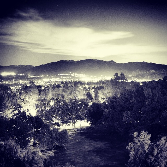
down to LA smog
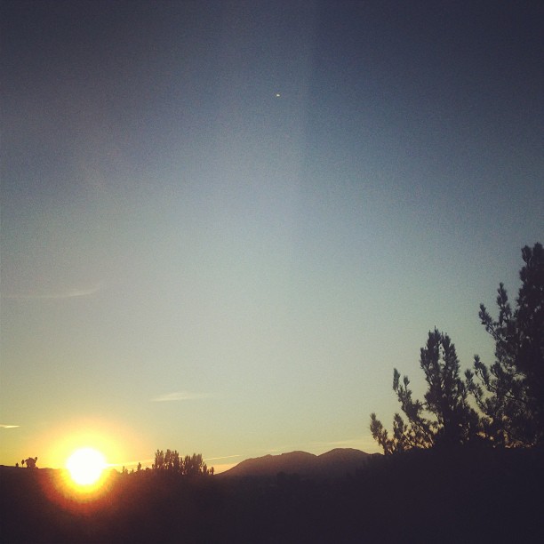
#sunrise #series #valencia #view from window good saturday #morning

20090830-StationFire-USFS-Supt3-001

my way to work

Vasquez Rocks 12
2009-03-31_14-54-33_IMG_9408_q75_s10

Miles the Boggle - Vasquez Rocks

stock image

Miles the Boggle - Vasquez Rocks
2009-03-31_14-50-49_IMG_9320_q75_s10_bw

Miles the Boggle - Vasquez Rocks
SP in Soledad Cny

Vasquez Rocks Park in Aqua Dulce, CA

Vasquez Rocks Panorama Edit 2 - Aqua Dulce, CA
Vasquez Rocks.

Vasquez Timescape II
There's so much to know
DAY 170
"...And I have learned to live, as it were, with the idea that I will never find peace and happiness, either. But as long as I know there's a pretty good chance I can get my hands on either one of them every once in a while, I do the best I can between hi

May your #Saturday #rock.
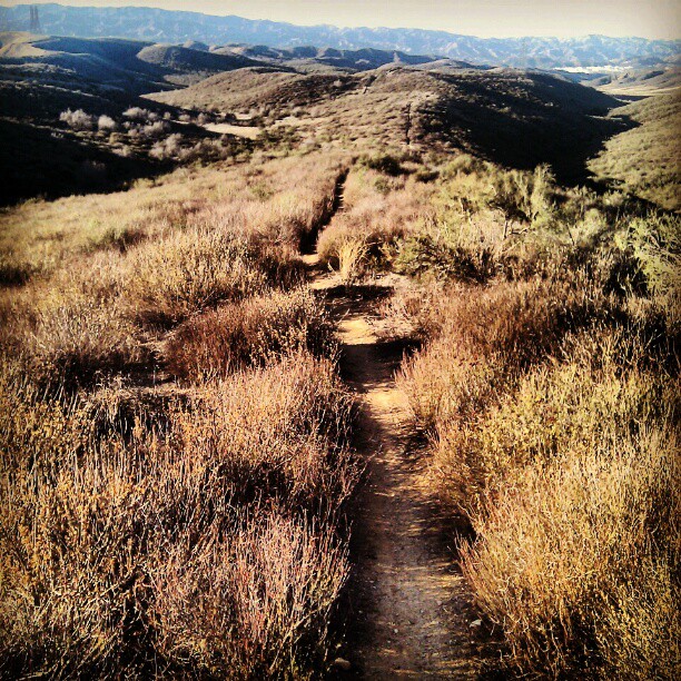
Hitting up the second peak on Upper G-Out into G-Out at #Tapia #mtb #mountain #bike #trail #sunrise

Vasquez Rocks Park in Aqua Dulce, CA
Topographic Map of Willow Oak Ct, Canyon Country, CA, USA
Find elevation by address:

Places near Willow Oak Ct, Canyon Country, CA, USA:
18056 Annes Cir
18145 Soledad Canyon Rd
Soledad Canyon Rd, Santa Clarita, CA, USA
28101 Winterdale Dr
16600 Road Runner Rd
18295 Terra Verde Pl
26647 Loop Ave
Bonnie View Ave, Santa Clarita, CA, USA
18507 Kimbrough St
28753 Winterdale Dr
28779 Winterdale Dr
17197 Sierra Hwy
18643 Oakmoor St
18741 Delight St
28971 Oak Springs Canyon Rd
Canyon Country, CA, USA
Canyon Country
27024 Cliffie Way
Gazeley St, Canyon Country, CA, USA
29153 Poppy Meadow St
Recent Searches:
- Elevation of Corso Fratelli Cairoli, 35, Macerata MC, Italy
- Elevation of Tallevast Rd, Sarasota, FL, USA
- Elevation of 4th St E, Sonoma, CA, USA
- Elevation of Black Hollow Rd, Pennsdale, PA, USA
- Elevation of Oakland Ave, Williamsport, PA, USA
- Elevation of Pedrógão Grande, Portugal
- Elevation of Klee Dr, Martinsburg, WV, USA
- Elevation of Via Roma, Pieranica CR, Italy
- Elevation of Tavkvetili Mountain, Georgia
- Elevation of Hartfords Bluff Cir, Mt Pleasant, SC, USA