Elevation of Willingen, Germany
Location: Germany > Hesse > Kassel > Waldeck-frankenberg >
Longitude: 8.6327185
Latitude: 51.3020791
Elevation: 645m / 2116feet
Barometric Pressure: 94KPa
Elevation Map:
Satellite Map:
Related Photos:

Bruchhauser-Steine
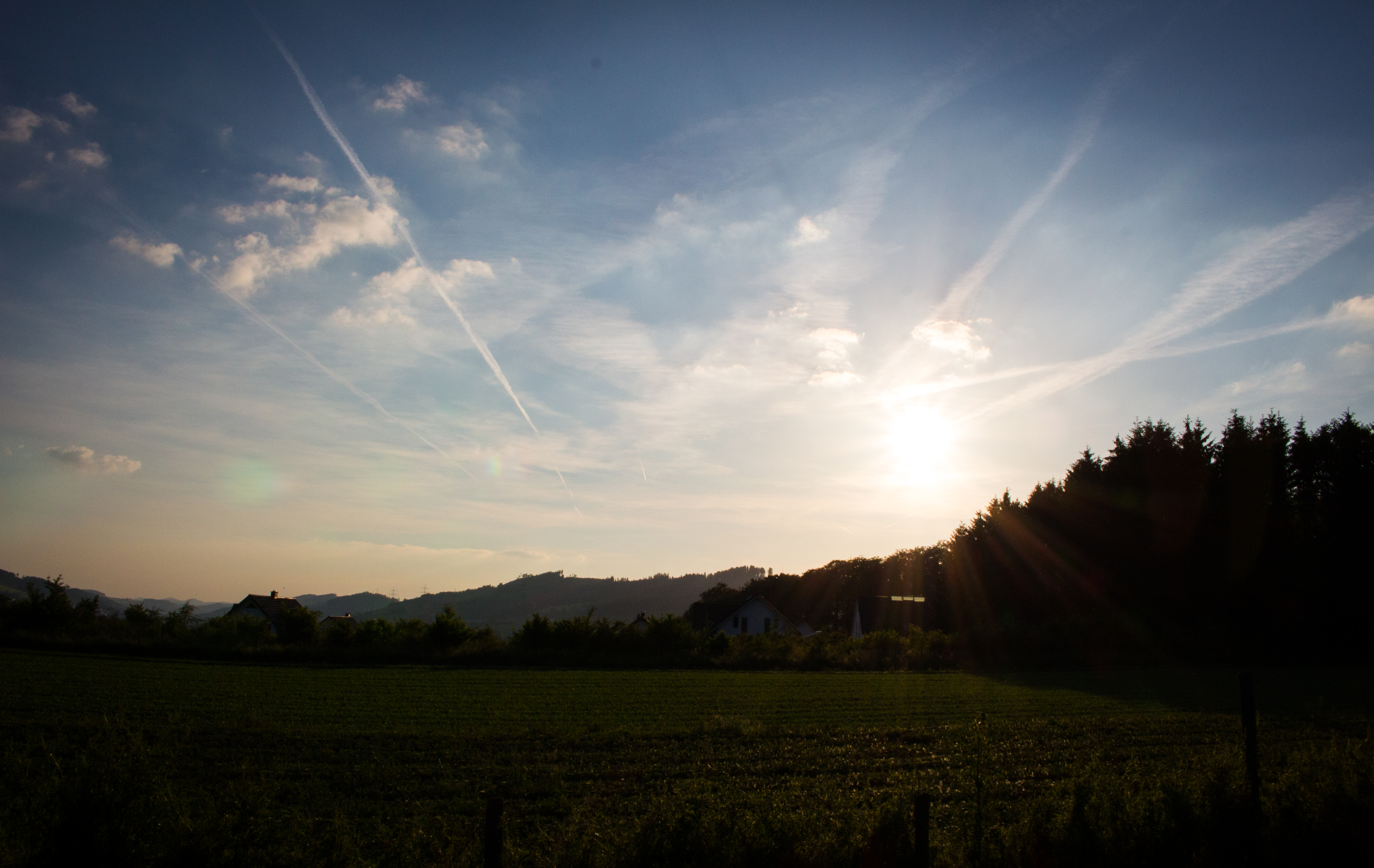
Epic view!

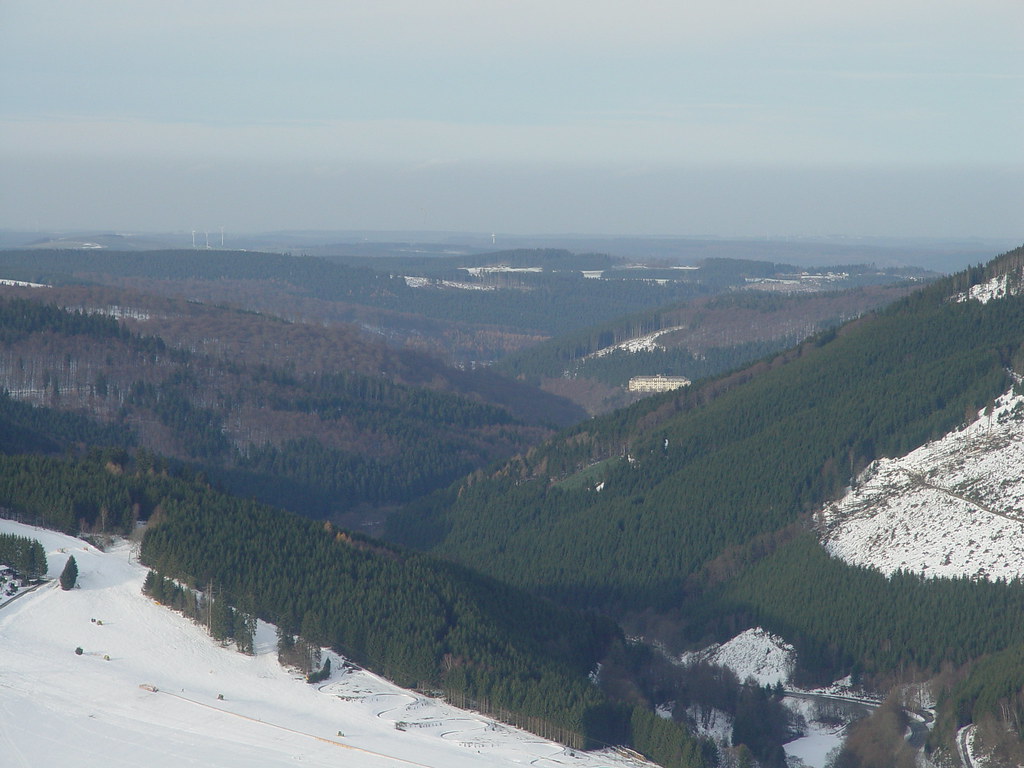
winter near winterberg
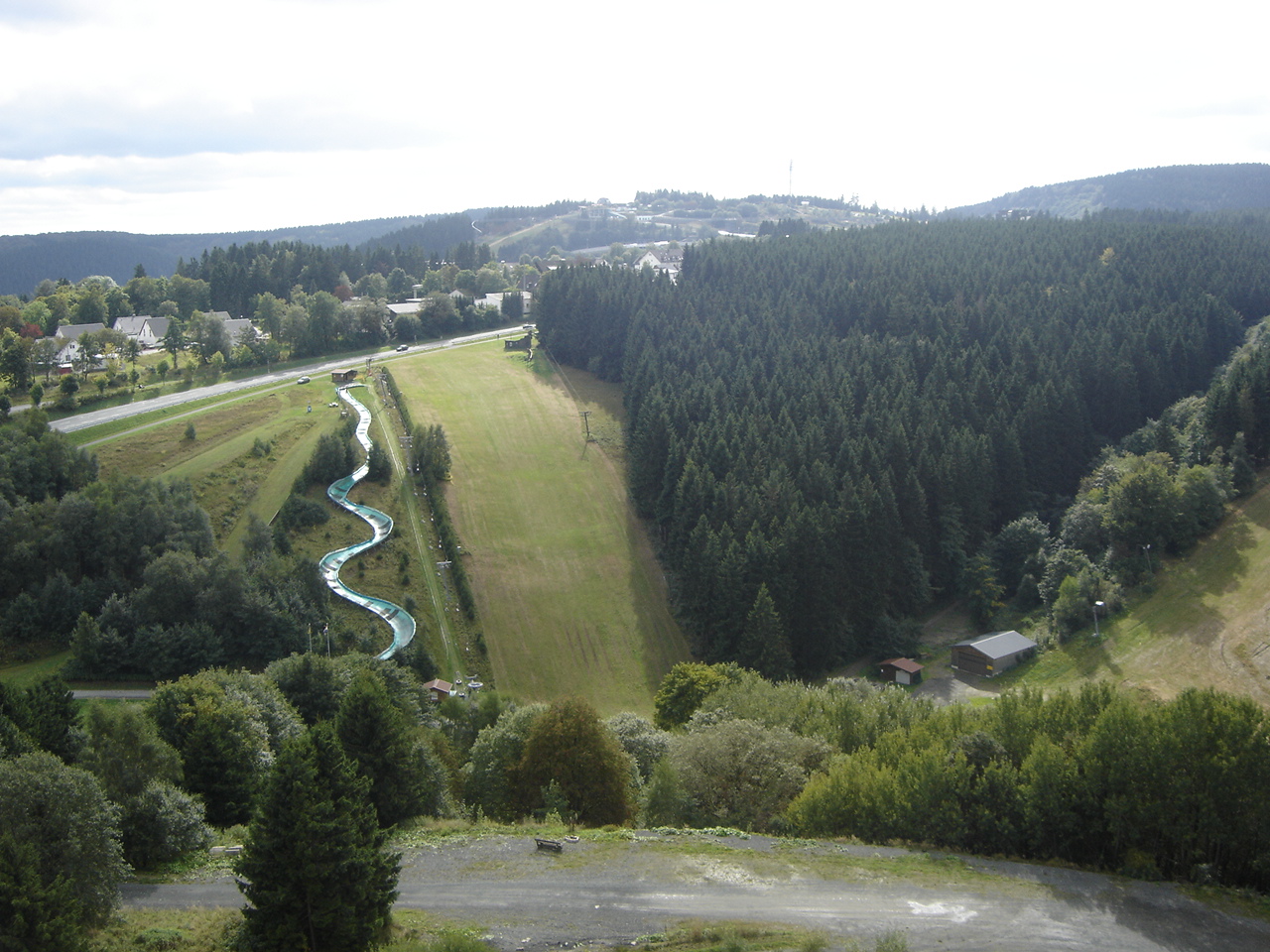
Winterberg: View on Bobsleigh Track
Ready for take off

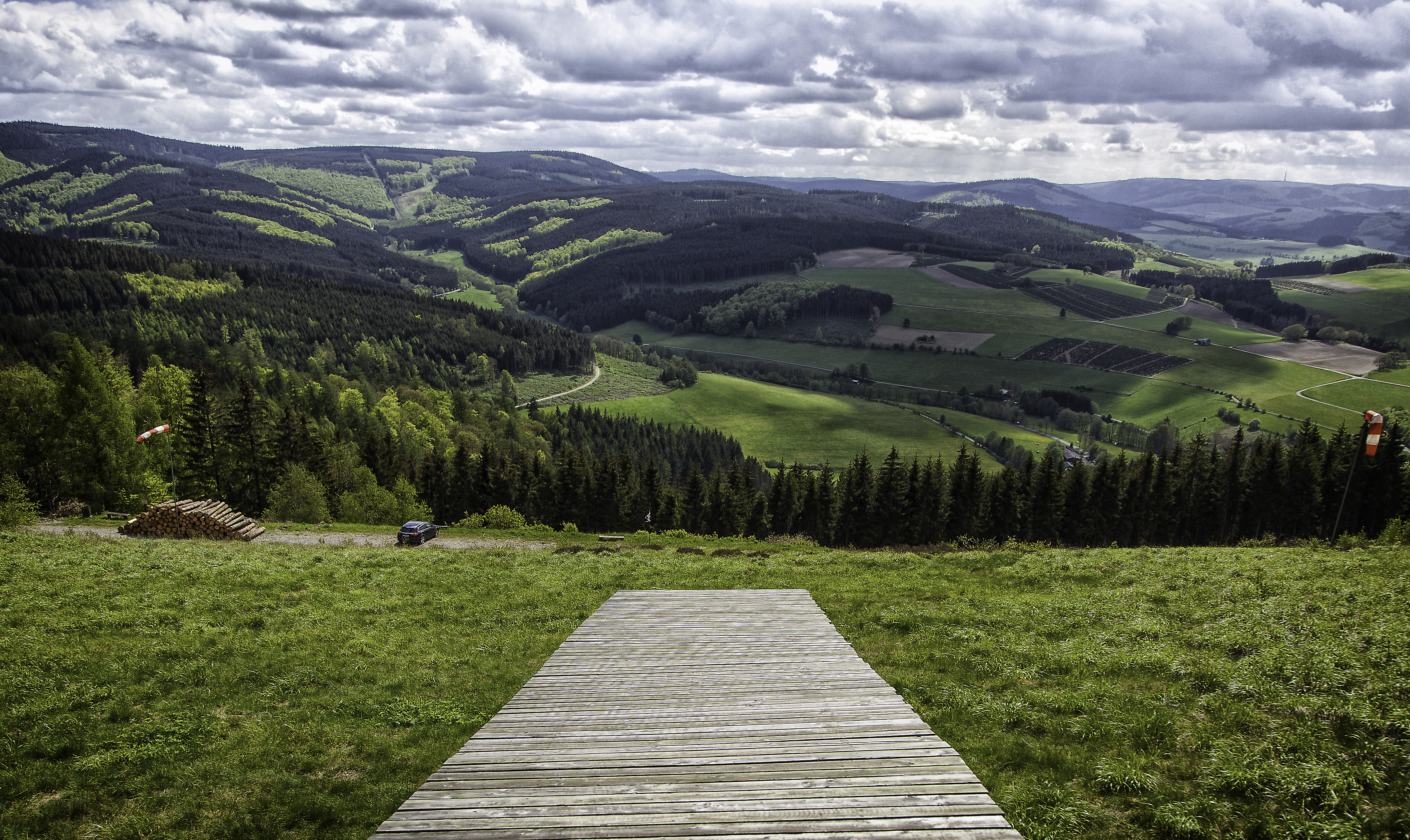
Blick ins Sauerland
DSC05035 ....Sauerland im Dezember .......
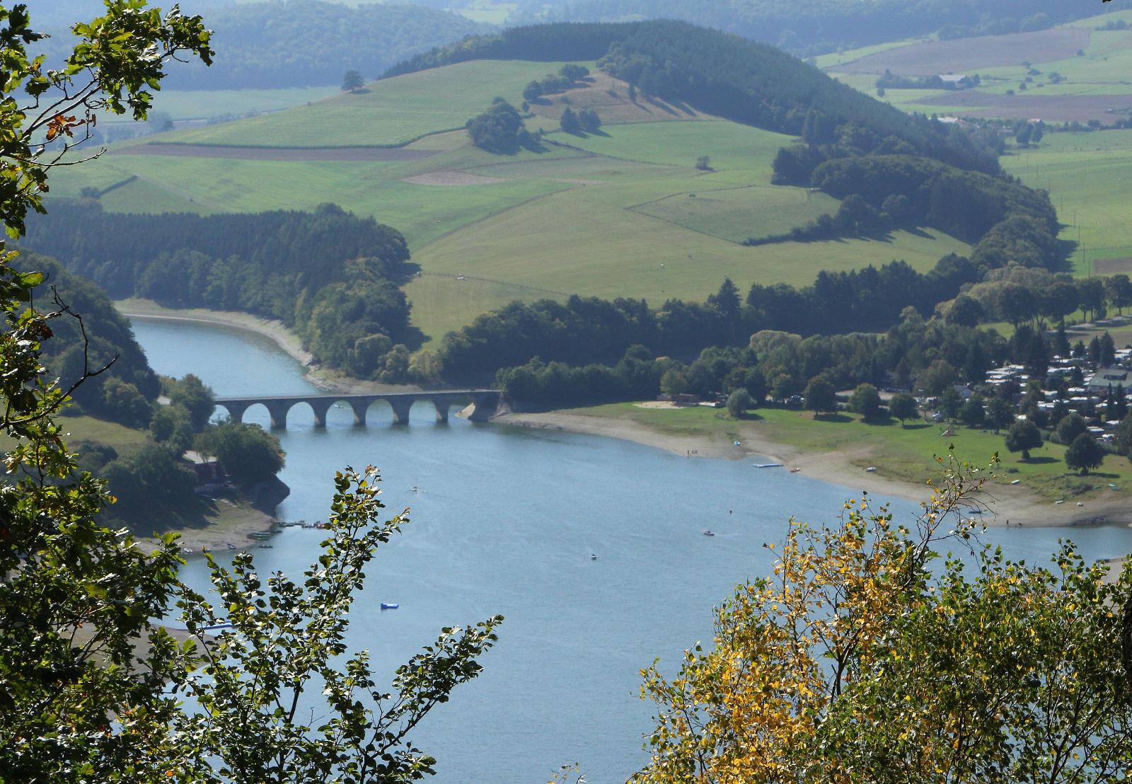
Diemelsee vom Eisenberg
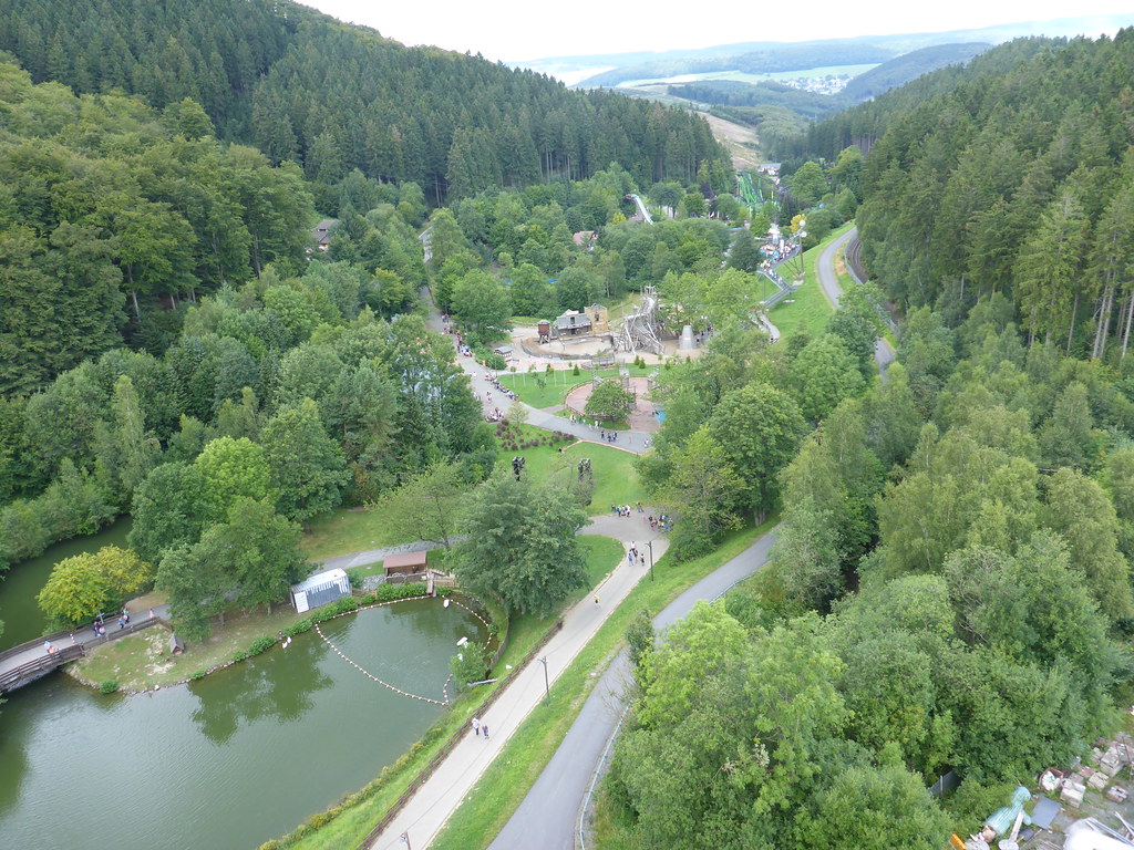
View from the Ferris wheel
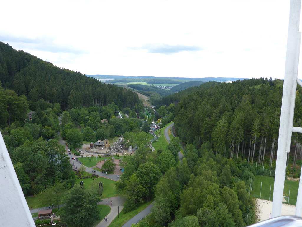
View from the Ferris wheel
Topographic Map of Willingen, Germany
Find elevation by address:

Places in Willingen, Germany:
Places near Willingen, Germany:
Rattlar
7jq7+v6
Am Dicken Stein 11
Eimelrod
Hauptstraße 7, Willingen (Upland), Germany
Gerkenweg 5, Winterberg, Germany
Hildfeld
Bömighausen
An der Neerdar 22, Willingen (Upland), Germany
Rothaarsteig
Remmeswiese 10
Winterberg
Kapperundweg
Kahler Asten
Altastenberg
Lenneplätze
Rothaarsteig
Rothaarsteig
Langewiese
Recent Searches:
- Elevation of Corso Fratelli Cairoli, 35, Macerata MC, Italy
- Elevation of Tallevast Rd, Sarasota, FL, USA
- Elevation of 4th St E, Sonoma, CA, USA
- Elevation of Black Hollow Rd, Pennsdale, PA, USA
- Elevation of Oakland Ave, Williamsport, PA, USA
- Elevation of Pedrógão Grande, Portugal
- Elevation of Klee Dr, Martinsburg, WV, USA
- Elevation of Via Roma, Pieranica CR, Italy
- Elevation of Tavkvetili Mountain, Georgia
- Elevation of Hartfords Bluff Cir, Mt Pleasant, SC, USA