Elevation of Williamsville Rd, Kosciusko, MS, USA
Location: United States > Mississippi > Leake County >
Longitude: -89.698364
Latitude: 32.917342
Elevation: 125m / 410feet
Barometric Pressure: 100KPa
Elevation Map:
Satellite Map:
Related Photos:
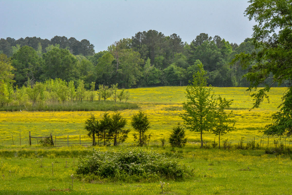
Holly Hill

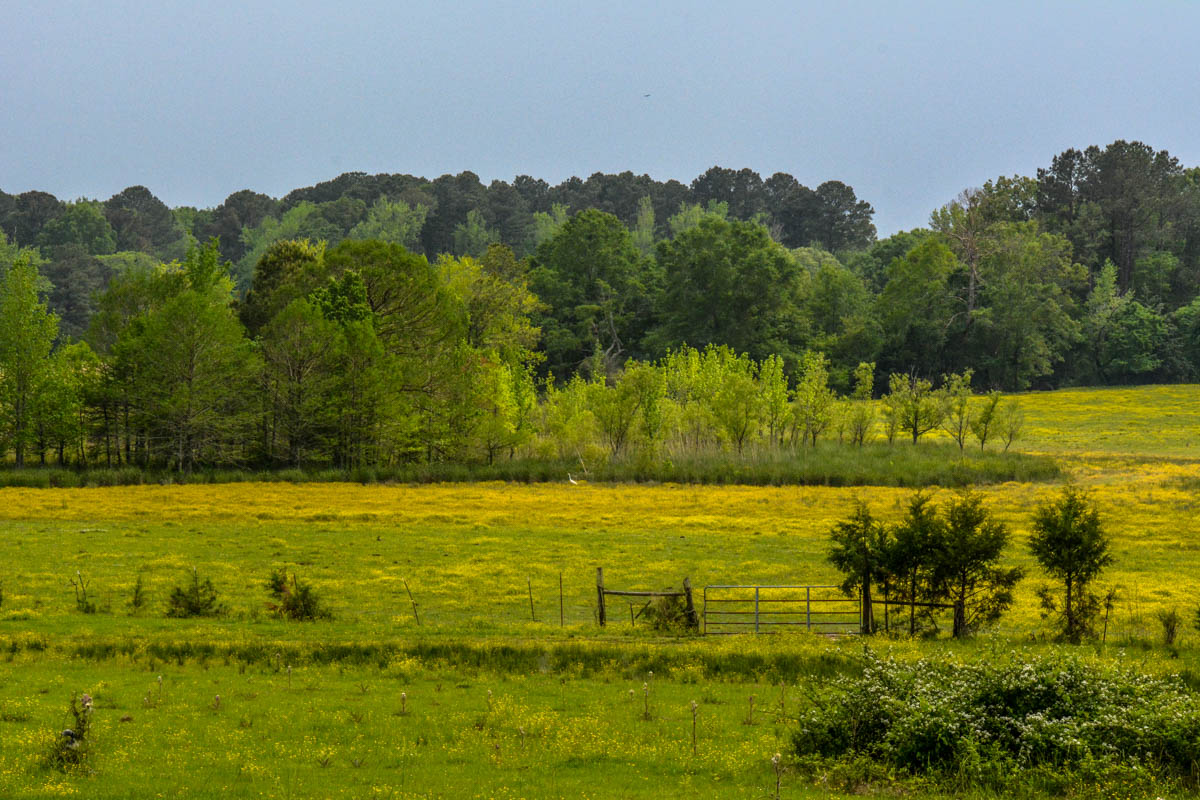
Holly Hill

Holly Hill

Holly Hill

Holly Hill

Holly Hill

Holly Hill
Holly Hill

Holly Hill

Visitor Meanwhile

Music for Driving Along the Trace

Holly Hill

Holly Hill

Holly Hill

Holly Hill

Holly Hill

Holly Hill

Holly Hill

Holly Hill

Holly Hill

Holly Hill
Topographic Map of Williamsville Rd, Kosciusko, MS, USA
Find elevation by address:

Places near Williamsville Rd, Kosciusko, MS, USA:
2653 Attala Rd 4122
Natchez St, Kosciusko, MS, USA
5770 Ms-429
Grapevine St, Sallis, MS, USA
Sallis
County Road 4002
First United Methodist Church Kosciusko
Kosciusko
26529 Ms-19
Forest Grove
Attala Co-op
Co Rd, Kosciusko, MS, USA
895 Greenwood Chapel Rd
Hopoca Rd, Carthage, MS, USA
Goodman
MS-25, Carthage, MS, USA
Hwy 16 W, Carthage, MS, USA
Carthage
Leake County
Mills Ln, Carthage, MS, USA
Recent Searches:
- Elevation of W Granada St, Tampa, FL, USA
- Elevation of Pykes Down, Ivybridge PL21 0BY, UK
- Elevation of Jalan Senandin, Lutong, Miri, Sarawak, Malaysia
- Elevation of Bilohirs'k
- Elevation of 30 Oak Lawn Dr, Barkhamsted, CT, USA
- Elevation of Luther Road, Luther Rd, Auburn, CA, USA
- Elevation of Unnamed Road, Respublika Severnaya Osetiya — Alaniya, Russia
- Elevation of Verkhny Fiagdon, North Ossetia–Alania Republic, Russia
- Elevation of F. Viola Hiway, San Rafael, Bulacan, Philippines
- Elevation of Herbage Dr, Gulfport, MS, USA