Elevation of Williamsburg Township, OH, USA
Location: United States > Ohio > Clermont County >
Longitude: -84.069596
Latitude: 39.0350802
Elevation: 222m / 728feet
Barometric Pressure: 99KPa
Elevation Map:
Satellite Map:
Related Photos:

TrackHead Studios - Selfie

TrackHead Studios - Bear Blowing Kisses
TrackHead Studios - New Flooring

TrackHead Studios - Oops! She did it.

Raccoon GIF

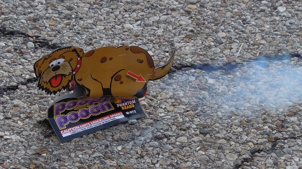
TrackHead Studios - Brown Smoke

TrackHead Studios - One Big Bowl

Red-Necked Grebe

Red-Necked Grebe
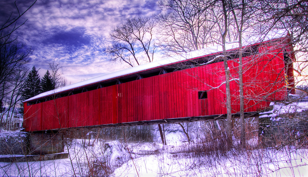
Covered Bridge
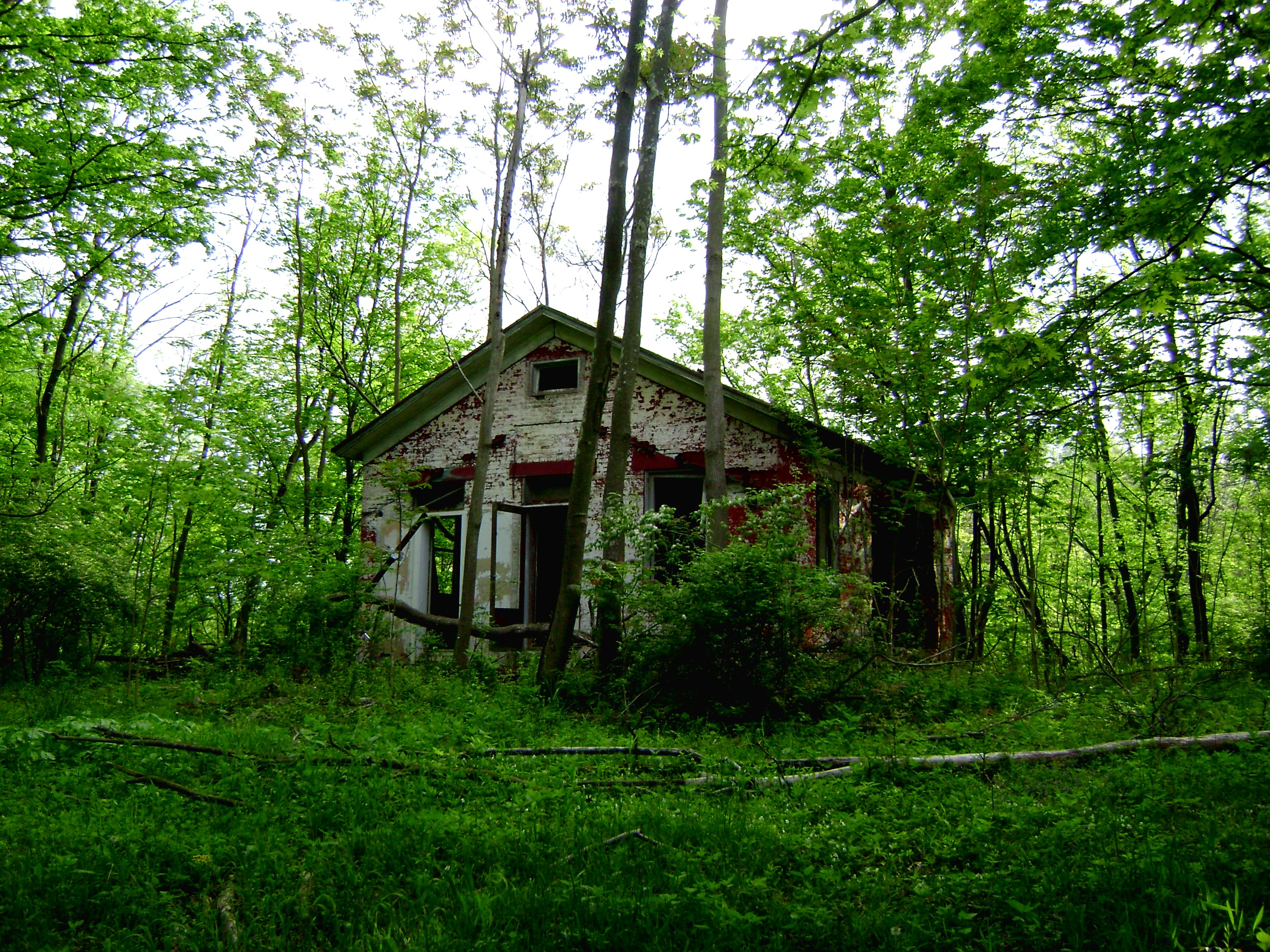
Craver, Ohio- Mt. Zion Schoolhouse
TrackHead Studios - Grand Finale
TrackHead Studios - Gas

TrackHead Studios - Political Bull Shit

TrackHead Studios - Got Wood?
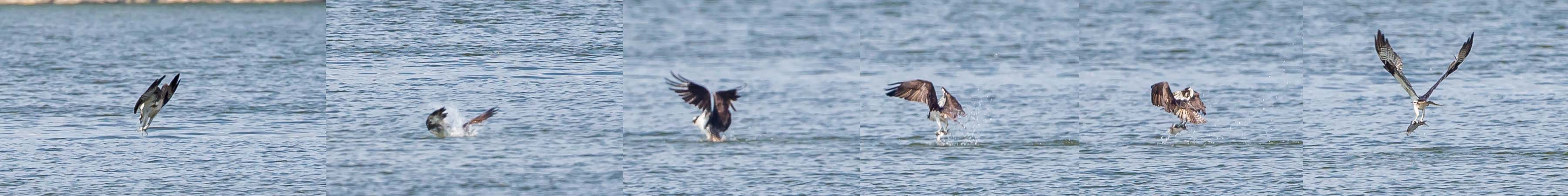
OSPREY DIVES FOR FISH

Who Knew: the Easter Bunny can weld?

Up the crossing
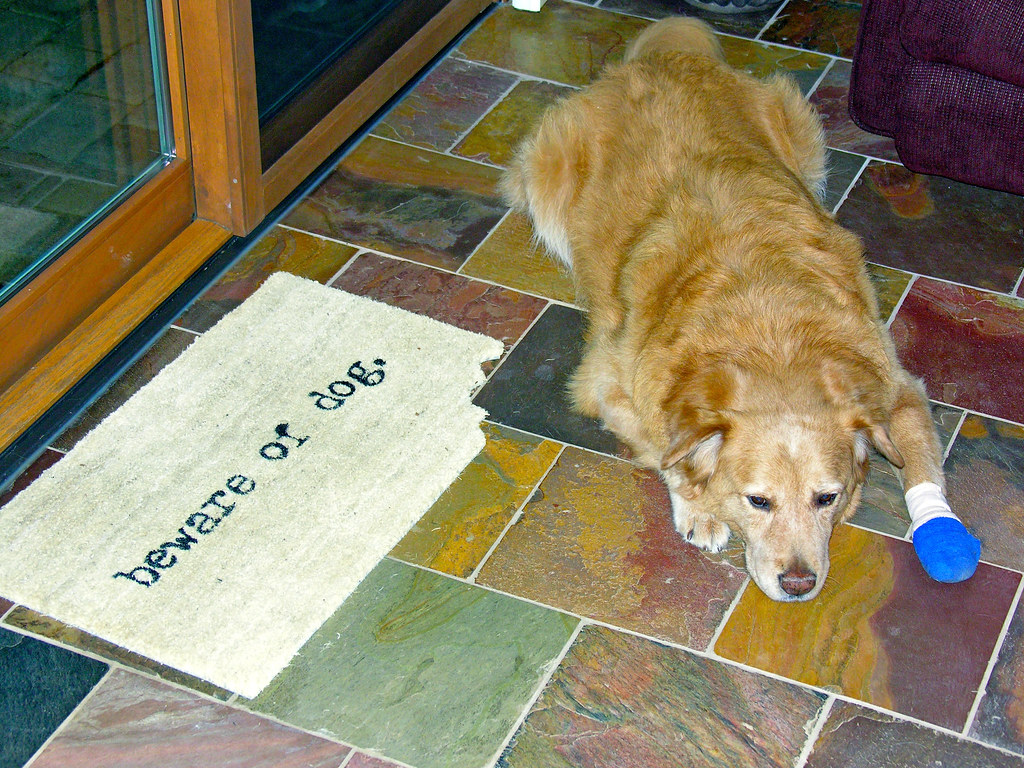
TrackHead Studios - Beware of Dog

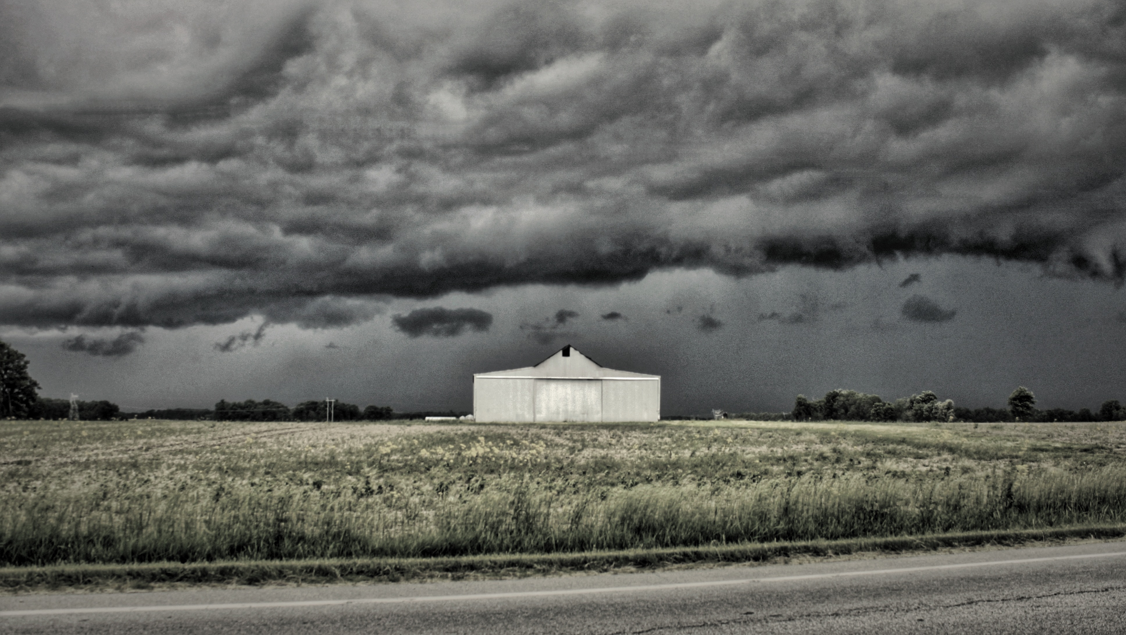
TrackHead Studios - Frozen Landscape 5

Snow Bunting

Morning Reflections
IMG_6053.JPG
IMG_6244.JPG
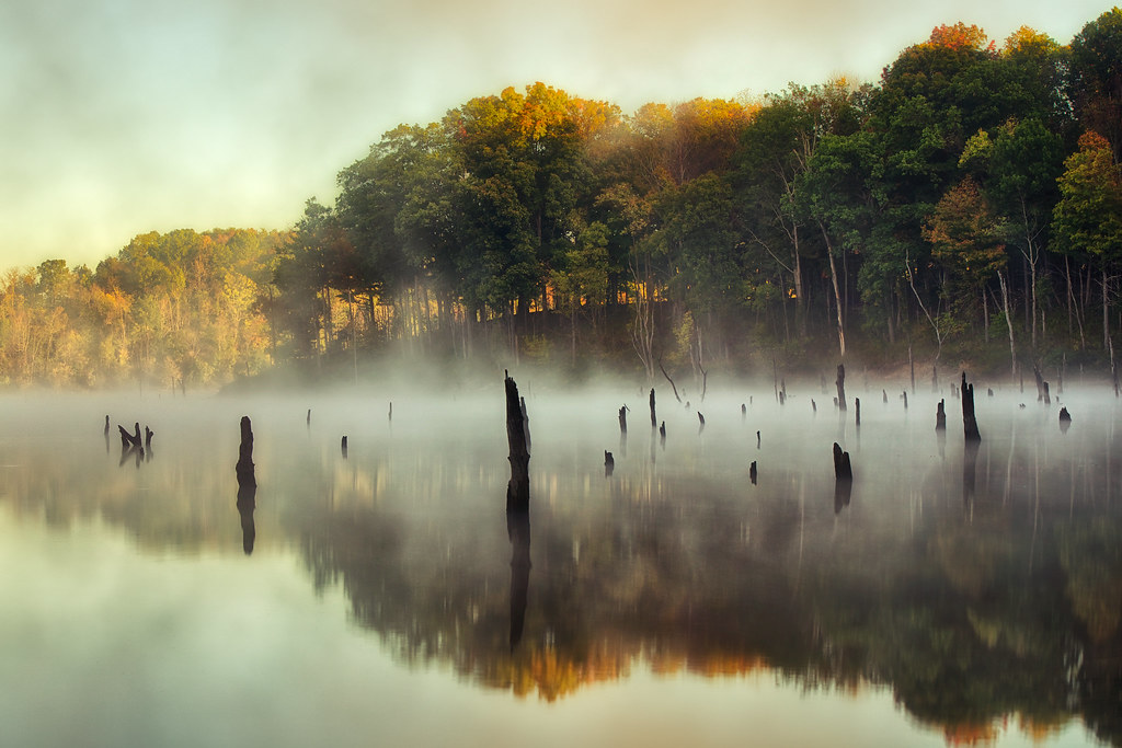
Fog Mirror
IMG_6054.JPG
Explored (10.06.2014)
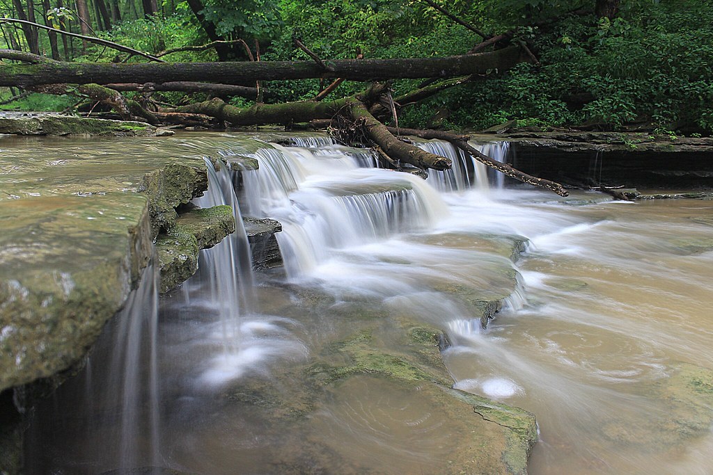
8-22-14, Ulrey Run. EXPLORE 11-16-2014
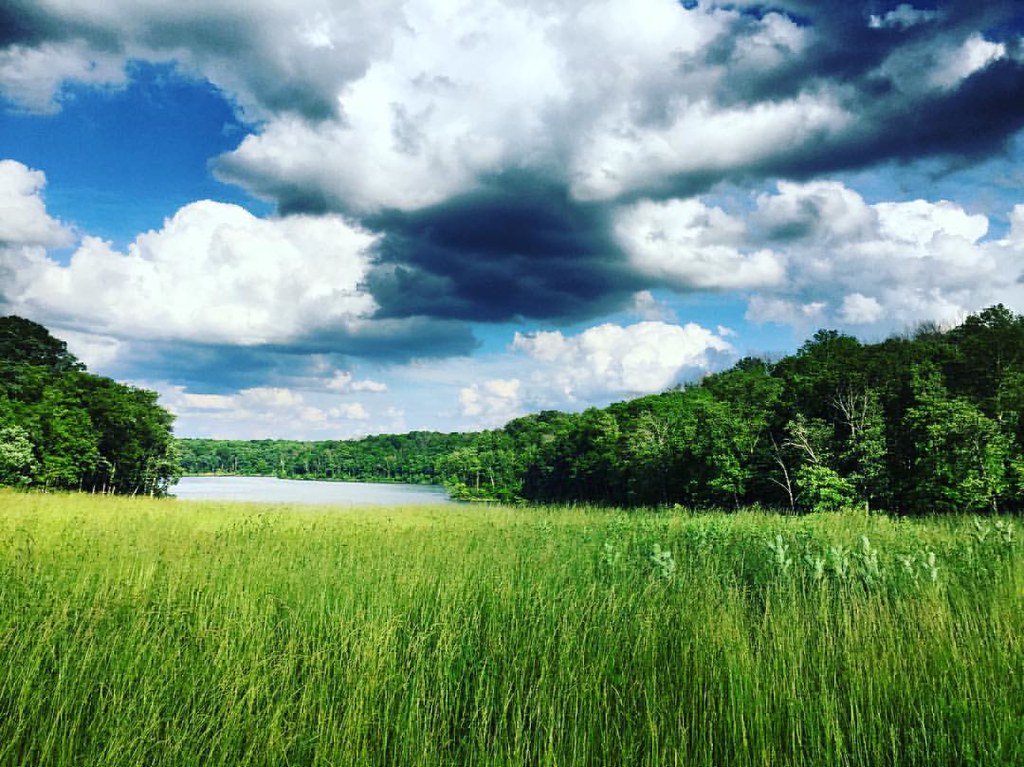
#nature #ohio #lake

IMG_5683.JPG
Sunset Flight.
IMG_1739.JPG
East Fork
IMG_1834.JPG
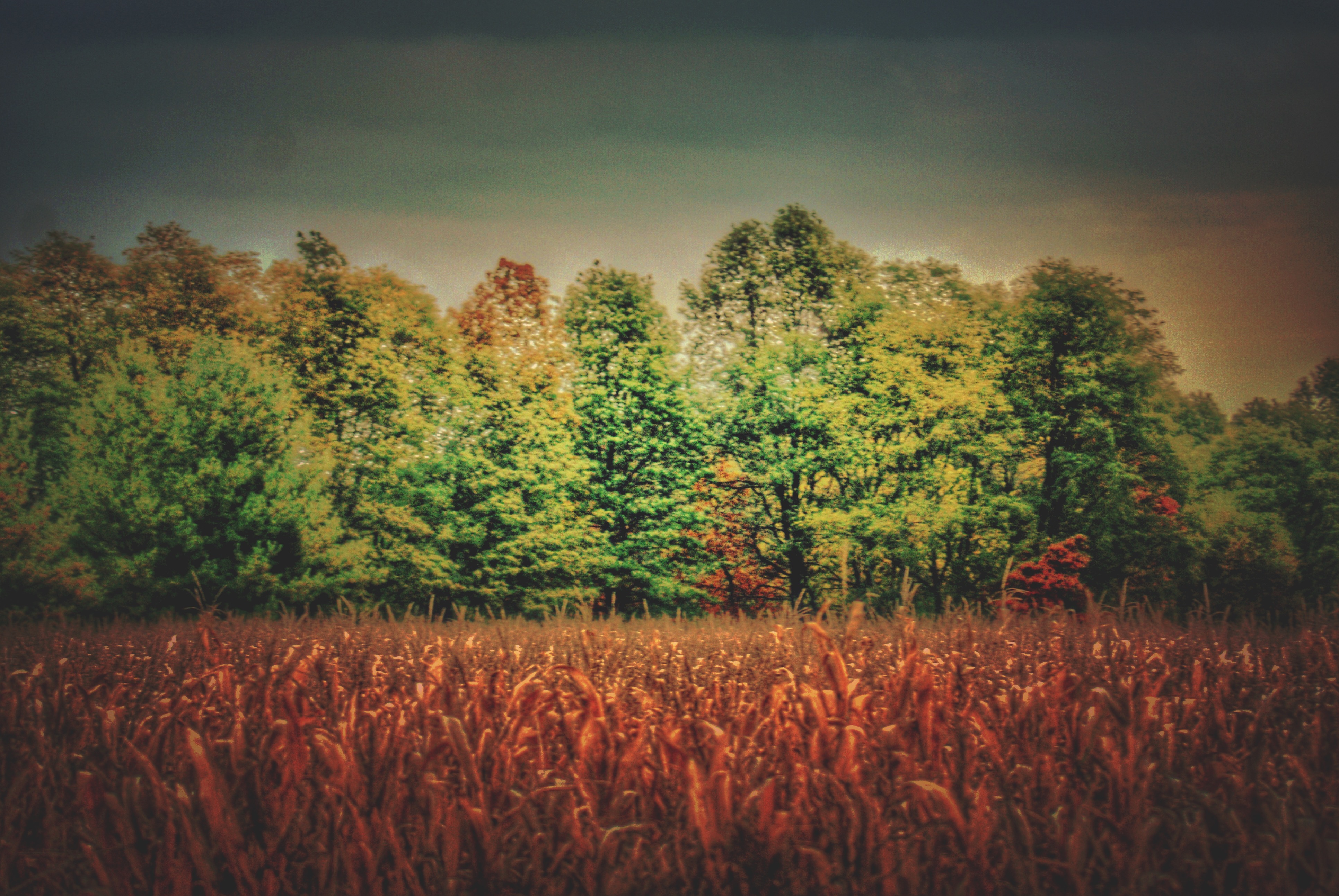
Tree Line, 3-7-2013
East Fork State Park
Explored (10.05.2014)
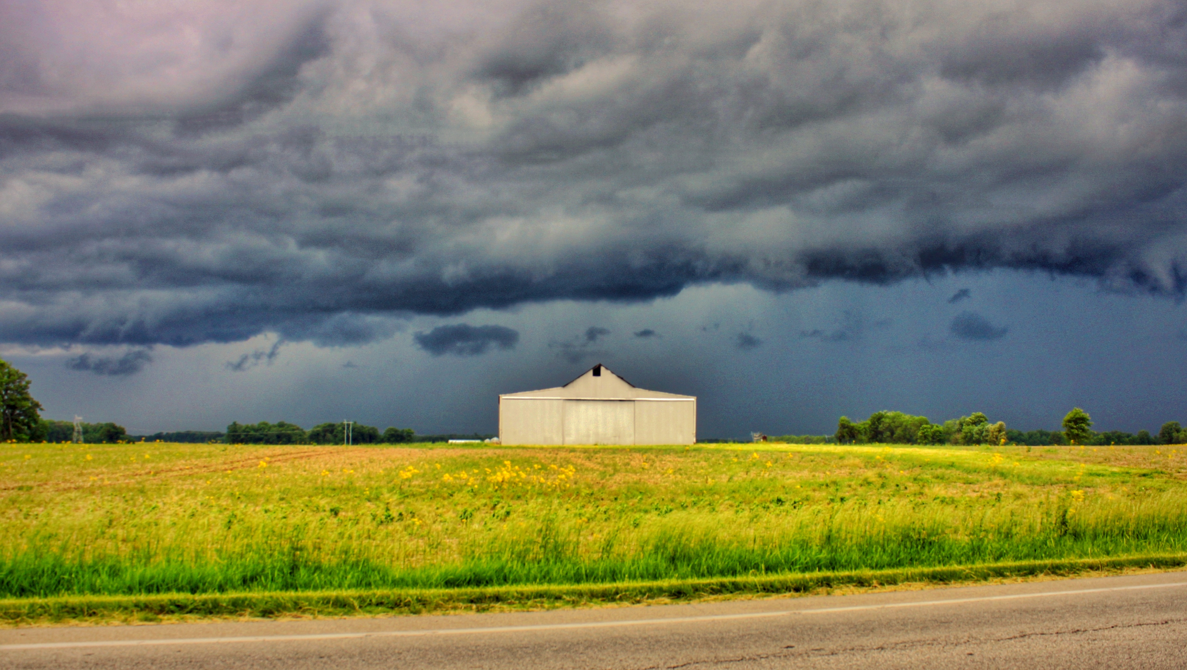
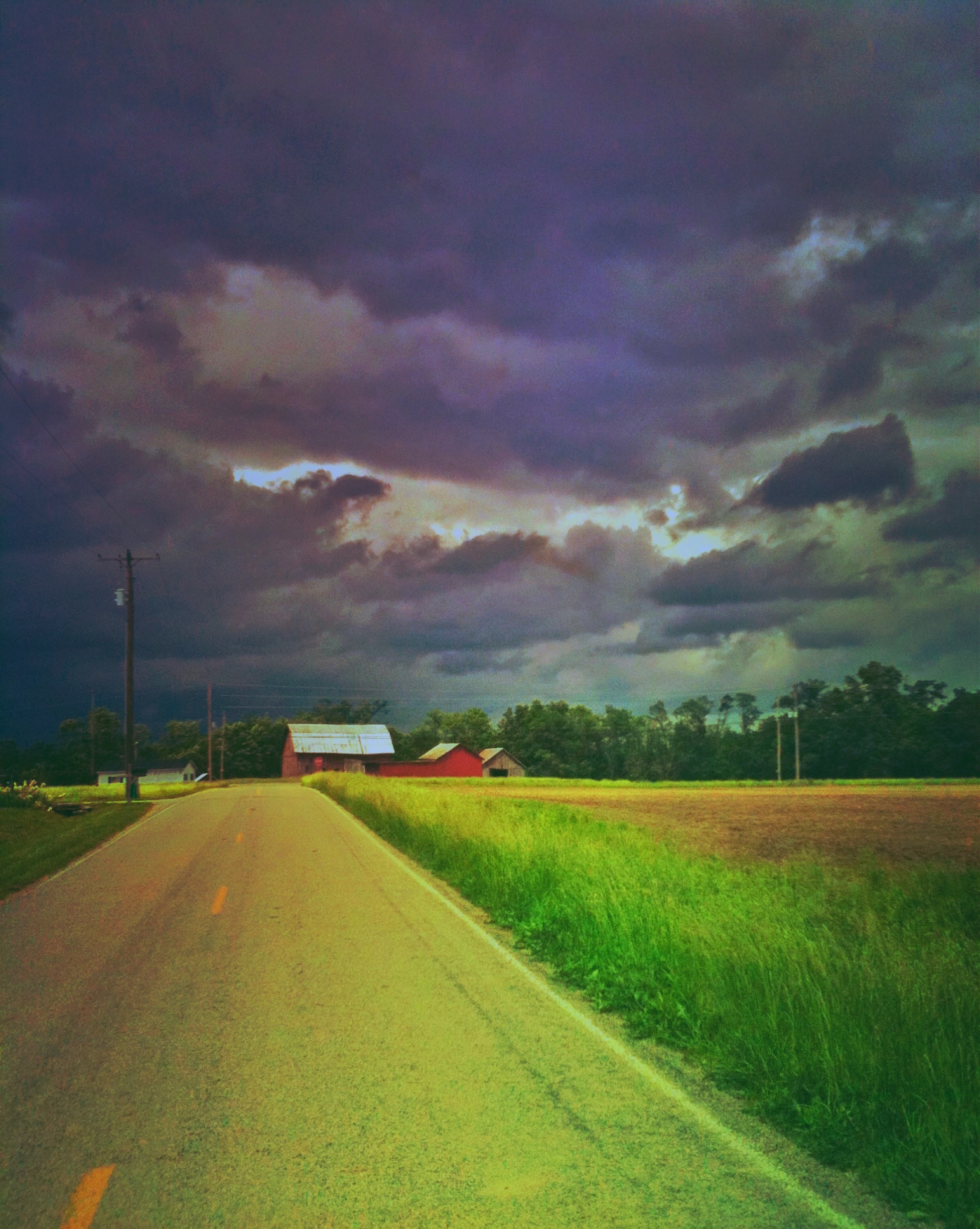
Old Farm House
IMG_1937.JPG

IMG_4761.JPG

IMG_4763.JPG

TrackHead Studios - From The Ground Up
Topographic Map of Williamsburg Township, OH, USA
Find elevation by address:

Places in Williamsburg Township, OH, USA:
Places near Williamsburg Township, OH, USA:
359 S 3rd St
Williamsburg
Batavia Road
2782 Jackson Pike
Clermont County
Clermont County Engineers Office
Commons Circle Drive
Batavia Township
2018 St Nicholas Ct
Broadway St, Batavia, OH, USA
Batavia
101 E Main St
2556 Autumn Ridge
West Main Street
Clermont County
3961 Oh-132
Stonelick Township
Wright St, Batavia, OH, USA
Clough Pike
Amelia
Recent Searches:
- Elevation of Cavendish Rd, Harringay Ladder, London N4 1RR, UK
- Elevation of 1 Zion Park Blvd, Springdale, UT, USA
- Elevation of Ganderbal
- Elevation map of Konkan Division, Maharashtra, India
- Elevation of Netaji Nagar, Hallow Pul, Kurla, Mumbai, Maharashtra, India
- Elevation of Uralsk, Kazakhstan
- Elevation of 45- Kahana Dr, Honokaa, HI, USA
- Elevation of New Mexico 30, NM-30, Española, NM, USA
- Elevation of Santmyer Way, Charles Town, WV, USA
- Elevation of Riserva Naturale Lago di Montepulciano, Italy