Elevation of Willemoesvej 2, Hirtshals, Denmark
Location: Denmark > Hjørring Municipality > Hirtshals >
Longitude: 9.9798779
Latitude: 57.5866348
Elevation: 10m / 33feet
Barometric Pressure: 101KPa
Elevation Map:
Satellite Map:
Related Photos:

No. 1019 Afterglow
ocean view

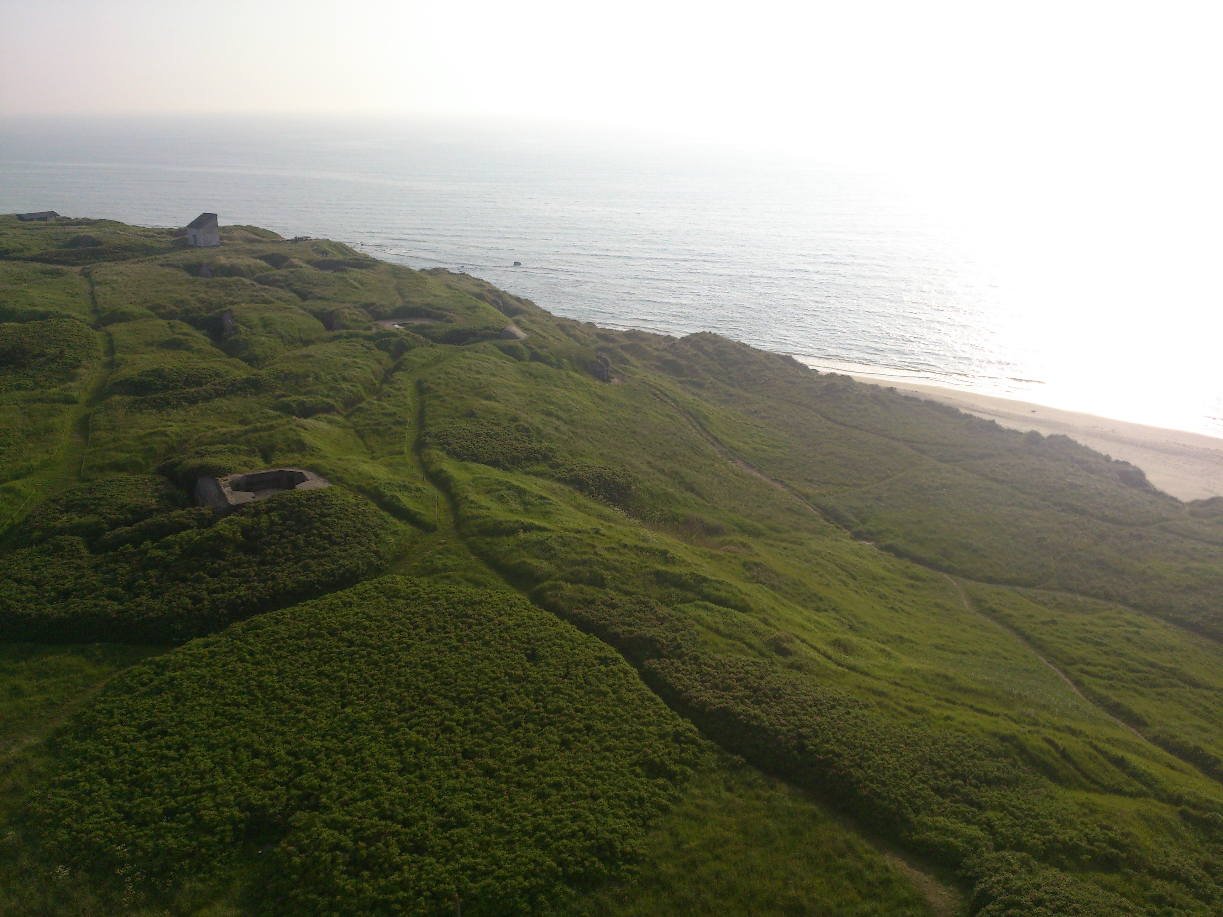
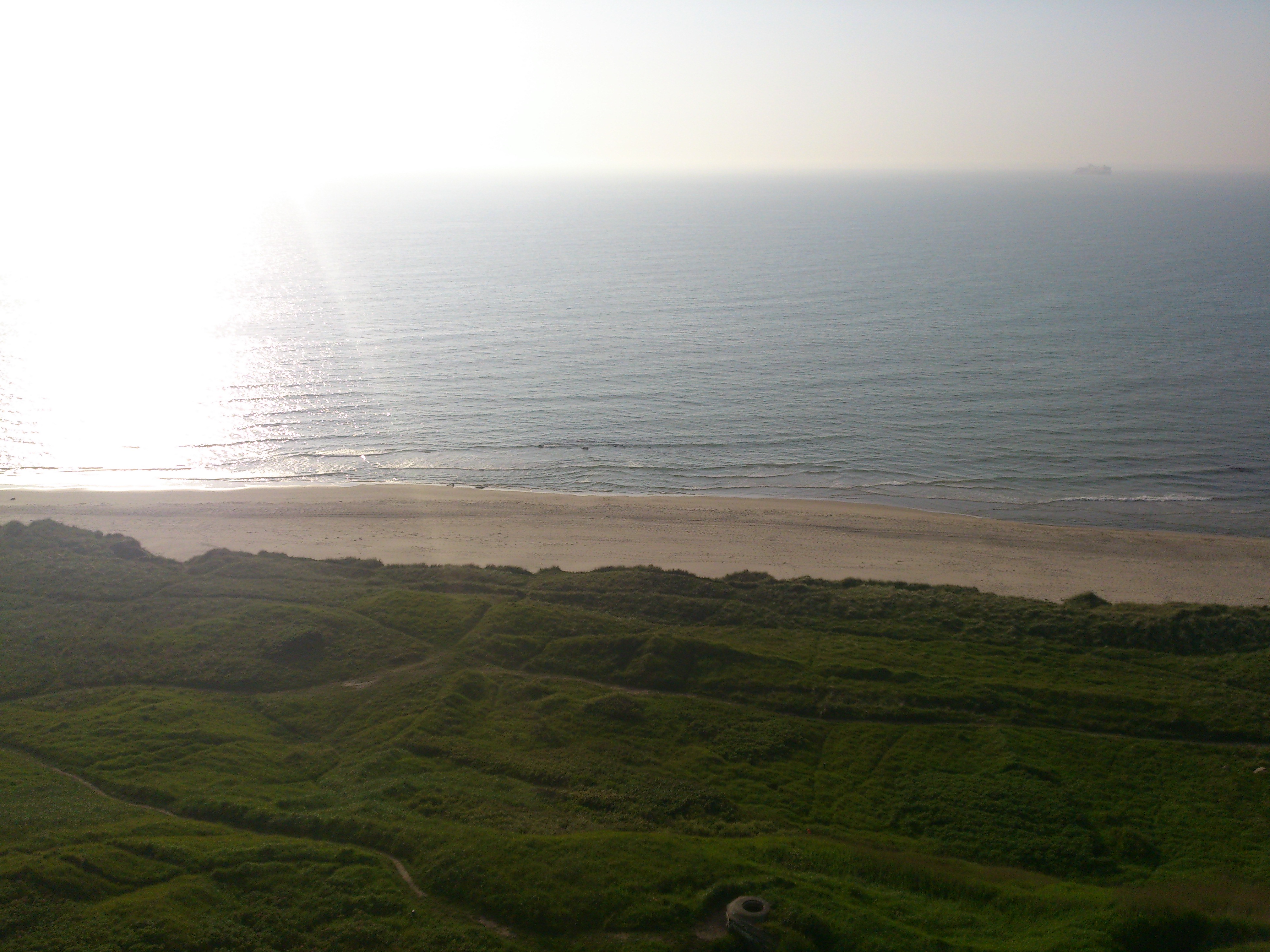
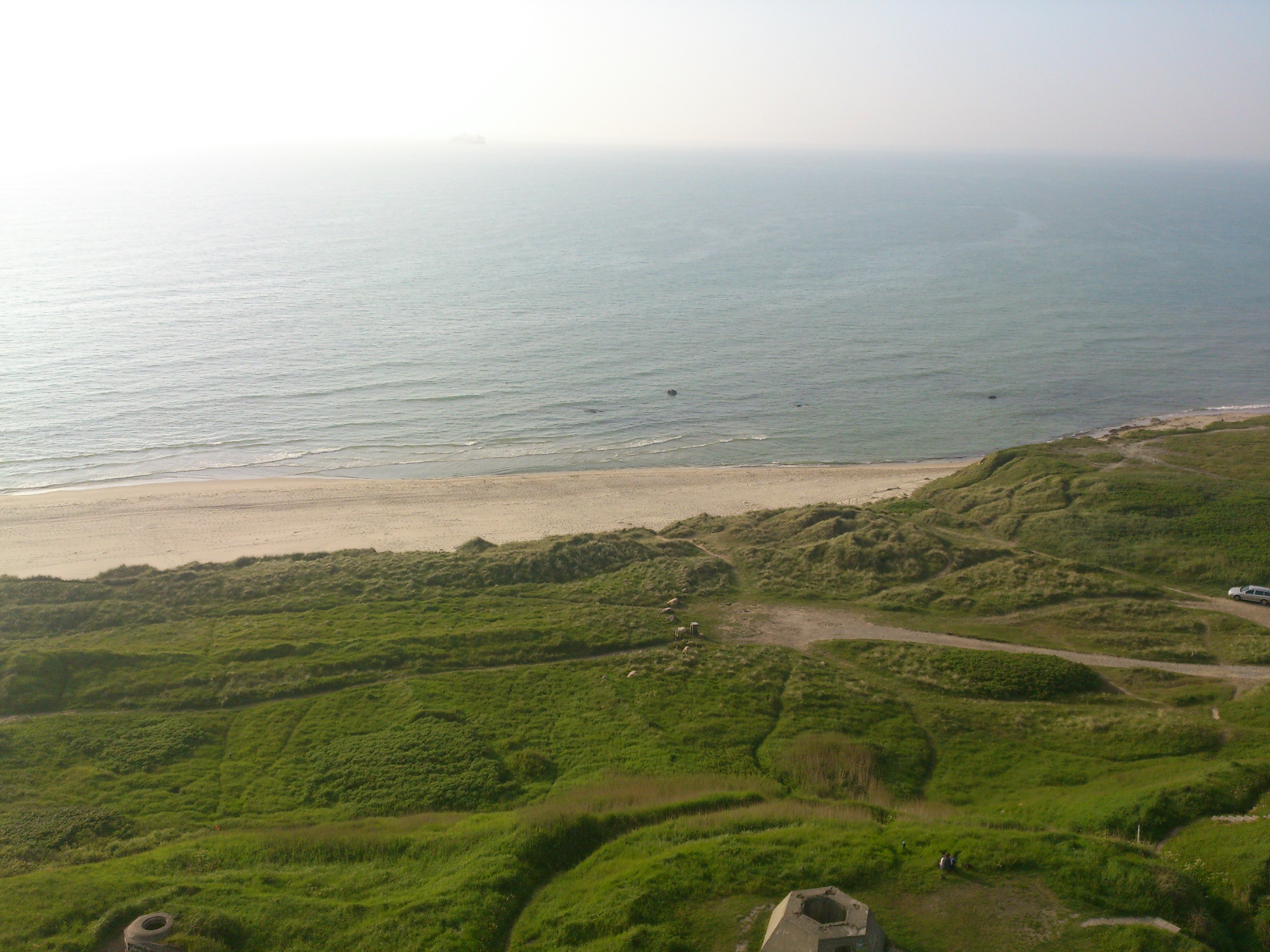
Hirtshals lighthouse view
Hirtshals lighthouse view
Hjørring Bjerge Panorama
Hirtshals lighthouse view
Hirtshals lighthouse view
Hirtshals lighthouse view
Hirtshals lighthouse view
Topographic Map of Willemoesvej 2, Hirtshals, Denmark
Find elevation by address:

Places near Willemoesvej 2, Hirtshals, Denmark:
Hirtshals
Hjørring
Hjørring Municipality
Harken
Bindslev
Vrå
Tversted Lakes
Råbjerg Mile Vej
Brønderslev Municipality
Vodskov
Frederikshavn Municipality
Vadum
Aalborg Airport
Slotsgade 8
Arkildsdal
Arkildsdal 23
Dronninglund
Norresundby
Teisensvej 13, 3 Th
Aalborg Øst
Recent Searches:
- Elevation of Corso Fratelli Cairoli, 35, Macerata MC, Italy
- Elevation of Tallevast Rd, Sarasota, FL, USA
- Elevation of 4th St E, Sonoma, CA, USA
- Elevation of Black Hollow Rd, Pennsdale, PA, USA
- Elevation of Oakland Ave, Williamsport, PA, USA
- Elevation of Pedrógão Grande, Portugal
- Elevation of Klee Dr, Martinsburg, WV, USA
- Elevation of Via Roma, Pieranica CR, Italy
- Elevation of Tavkvetili Mountain, Georgia
- Elevation of Hartfords Bluff Cir, Mt Pleasant, SC, USA