Elevation of Will Rogers Drive, Will Rogers Dr, San Jose, CA, USA
Location: United States > California > Santa Clara County > San Jose > Anderson West >
Longitude: -121.97464
Latitude: 37.3072768
Elevation: 53m / 174feet
Barometric Pressure: 101KPa
Elevation Map:
Satellite Map:
Related Photos:
Fire breathing dragon

Mary Avenue Bridge
Bronze Horse by Deborah Butterfield
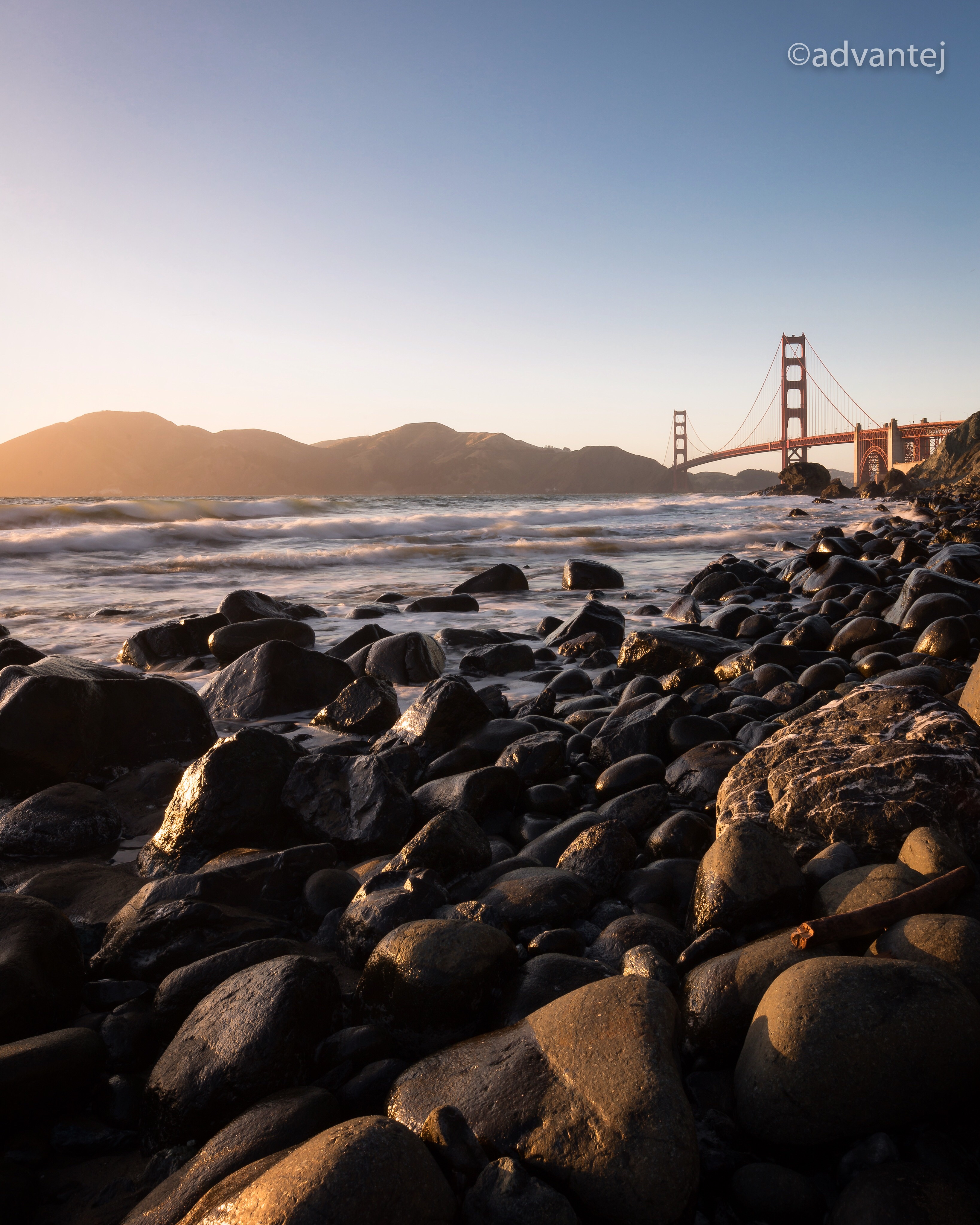
View of the Golden Gate Bridge and San Francisco from a distance

Towering Redwoods
Cracked Earth
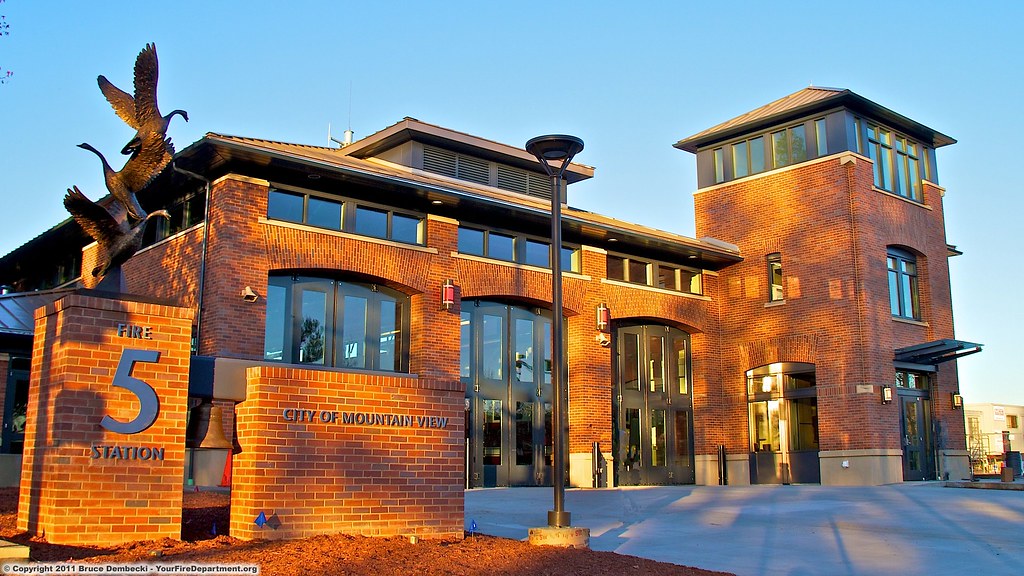
MTV Fire Station 5
Perfect view?

Reaching High
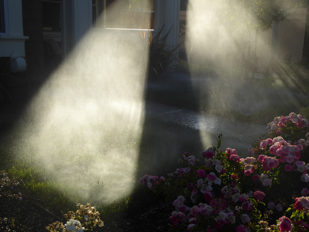
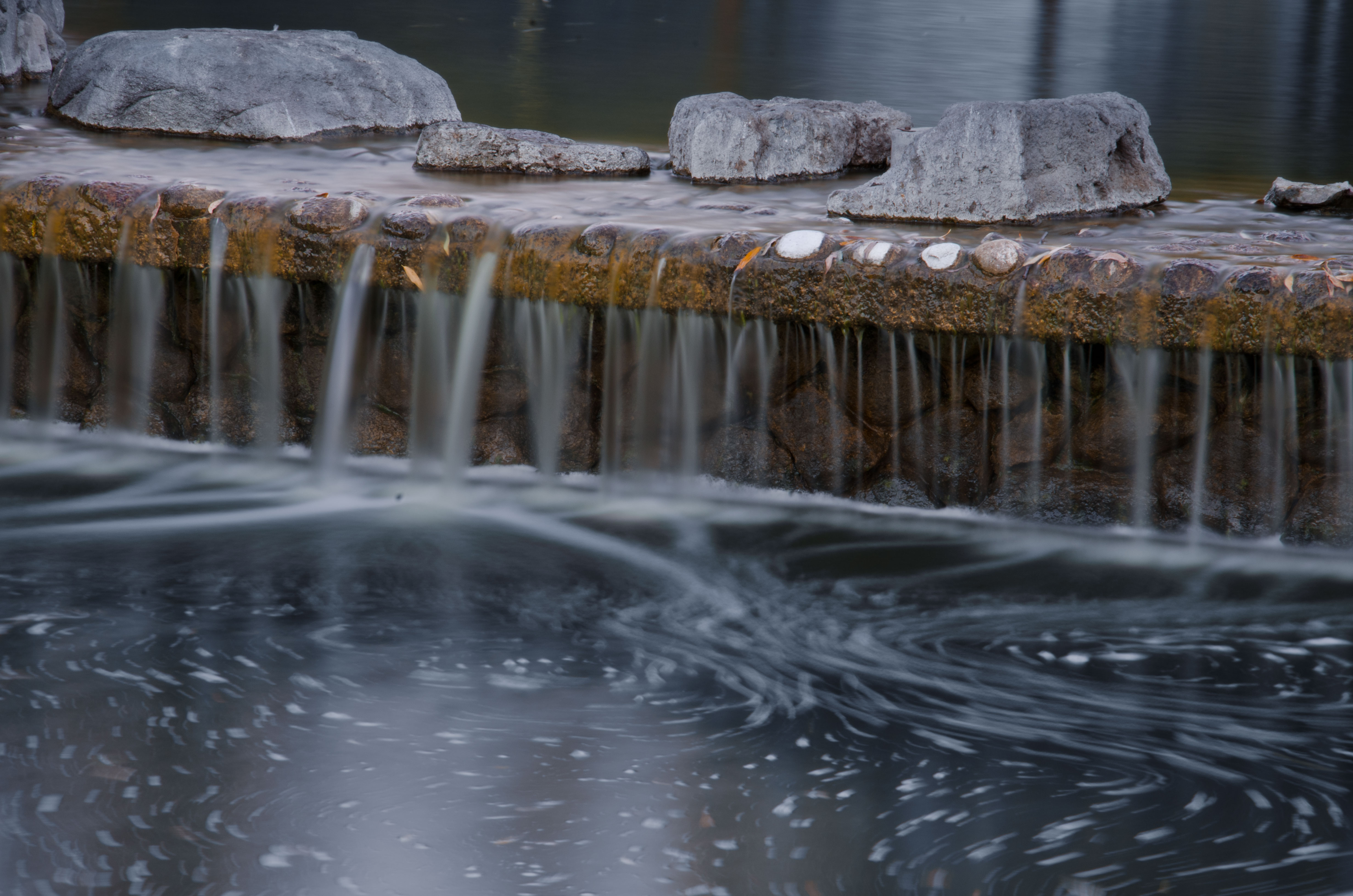
Morning Water
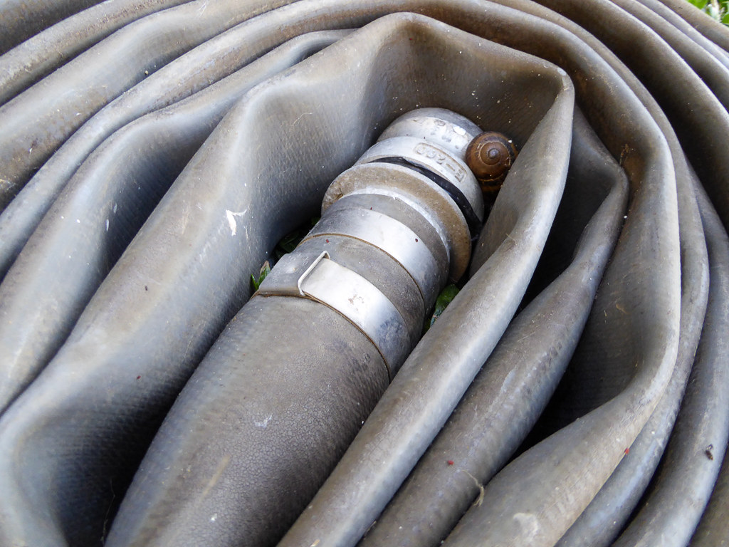
Snail In Hose

Into the Sunset (Highway 101)

Jacaranda Litter

teeny tiny

DSC01246.JPG

Color On Weathered Grey
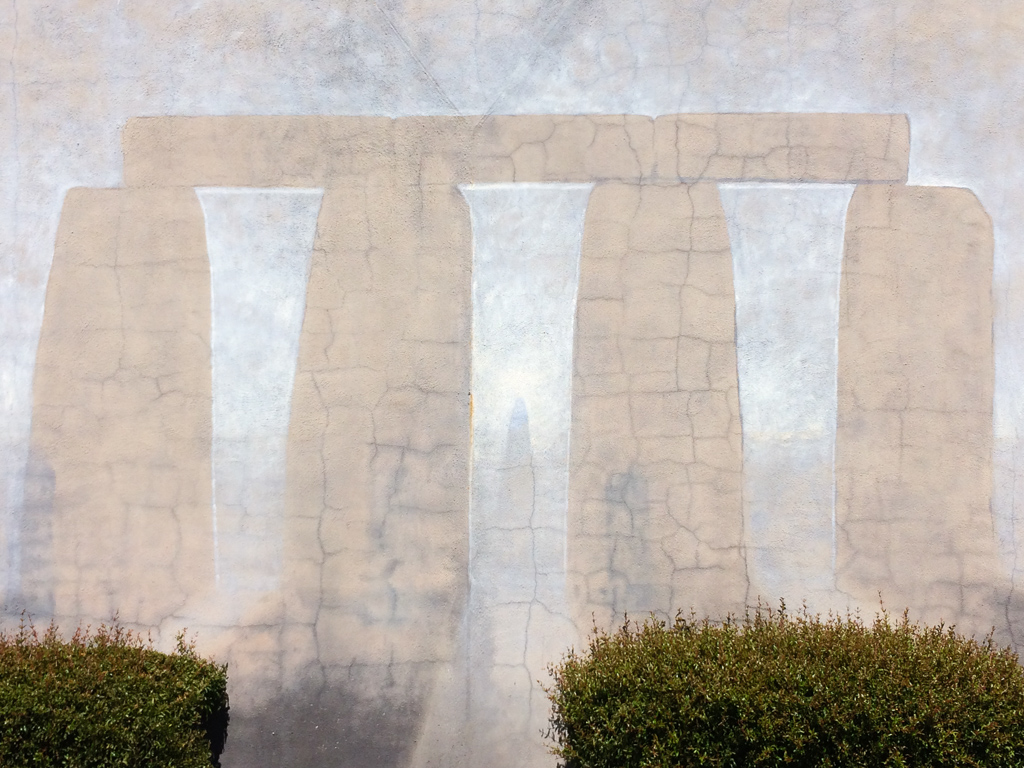
Stonehenge In Mountain View
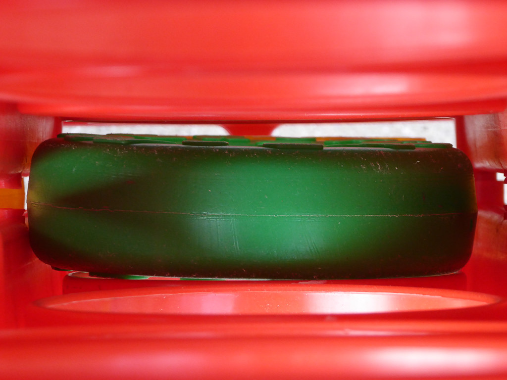
Plastic Lifesaver

Apple Juice

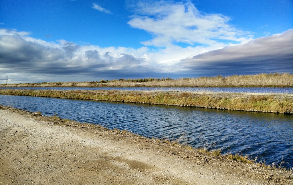
Alviso Blue Hour
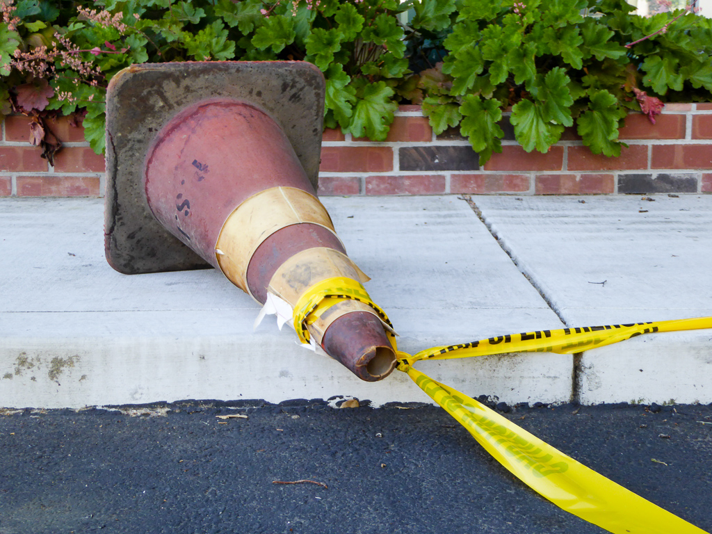
Pulled Over By Caution

Trail to Heaven

Guadalupe Trail Tree
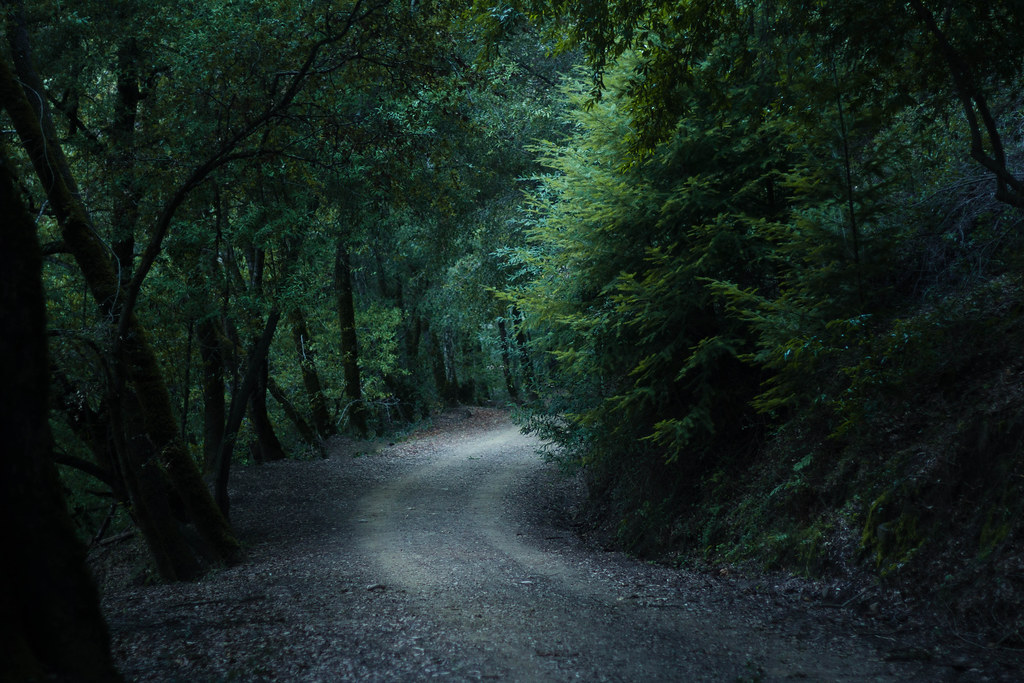
Enchanted Path

Six. Tonight I reached 100 miles for March, making it 6 months straight of 100+ miles per month. Many runners run a lot more than that per month, but for me, this is a significant achievement. Prior to this streak I had not been able to muster 2 consecuti
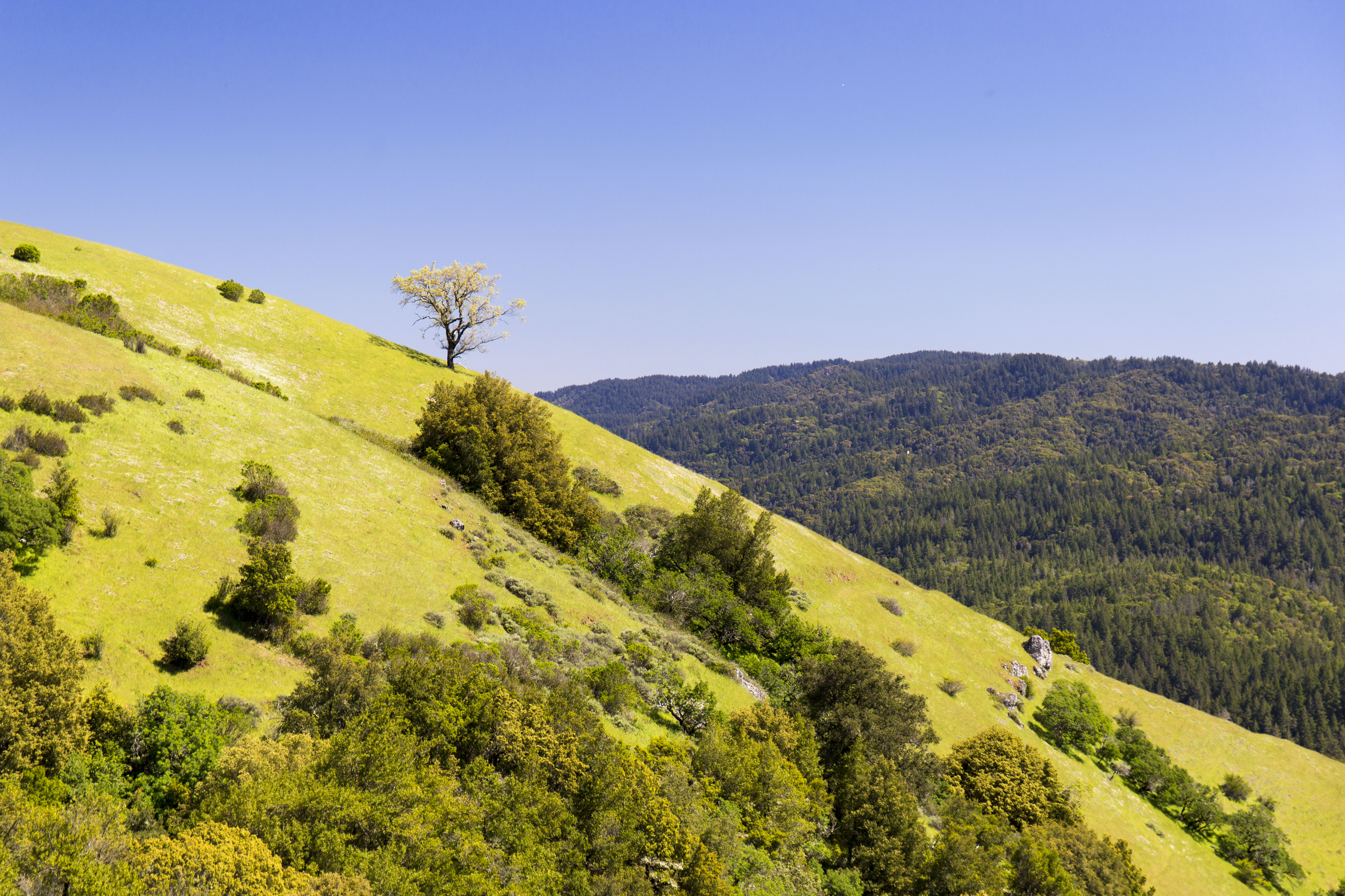
Monte Bello Open Space Preserve

iPhoneography #84
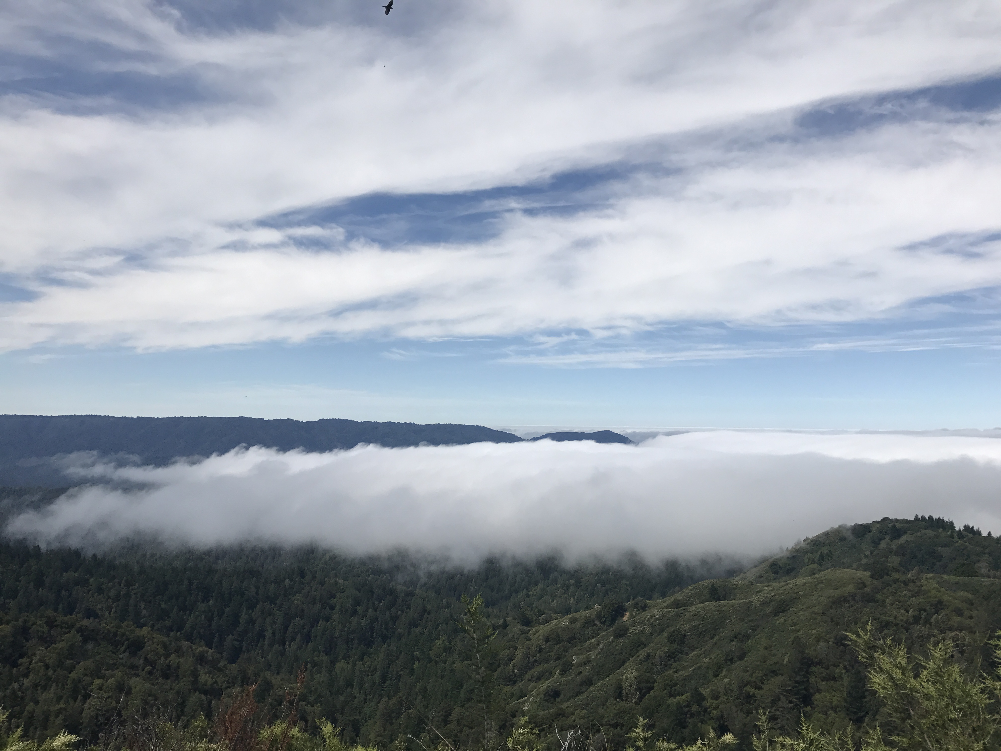
Castle Rock State Park
Morning Run by Bay Trail.
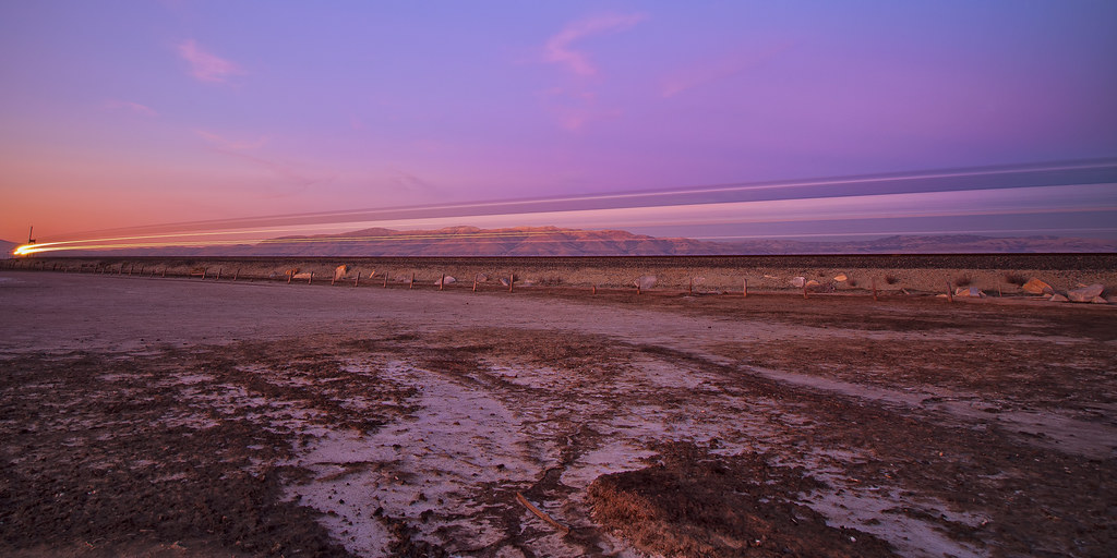
Sunset Express.........

Somewhere in heaven

Door of opportunities :)
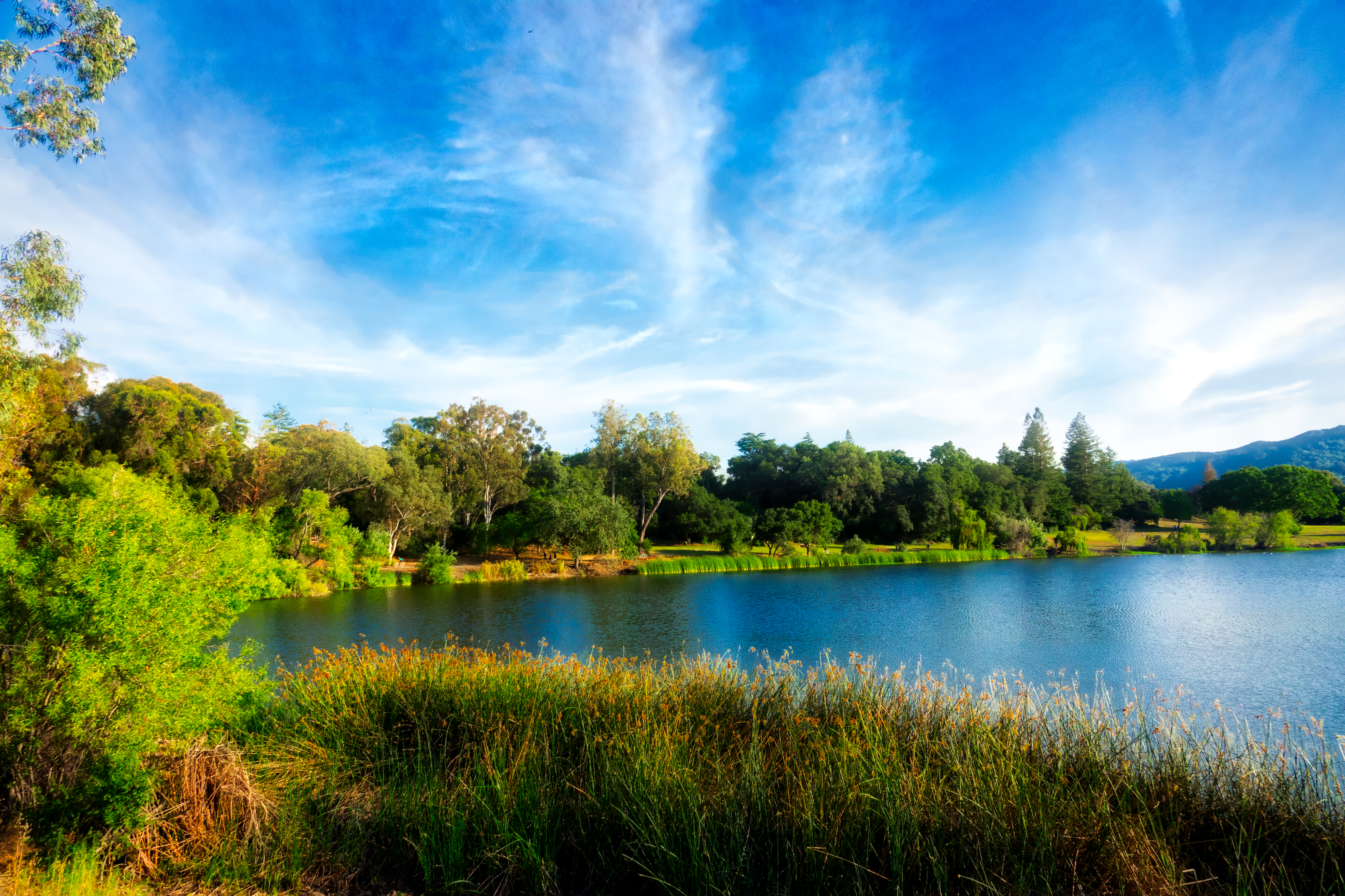
Vasona Lake HDR - Happy Sliders Sunday
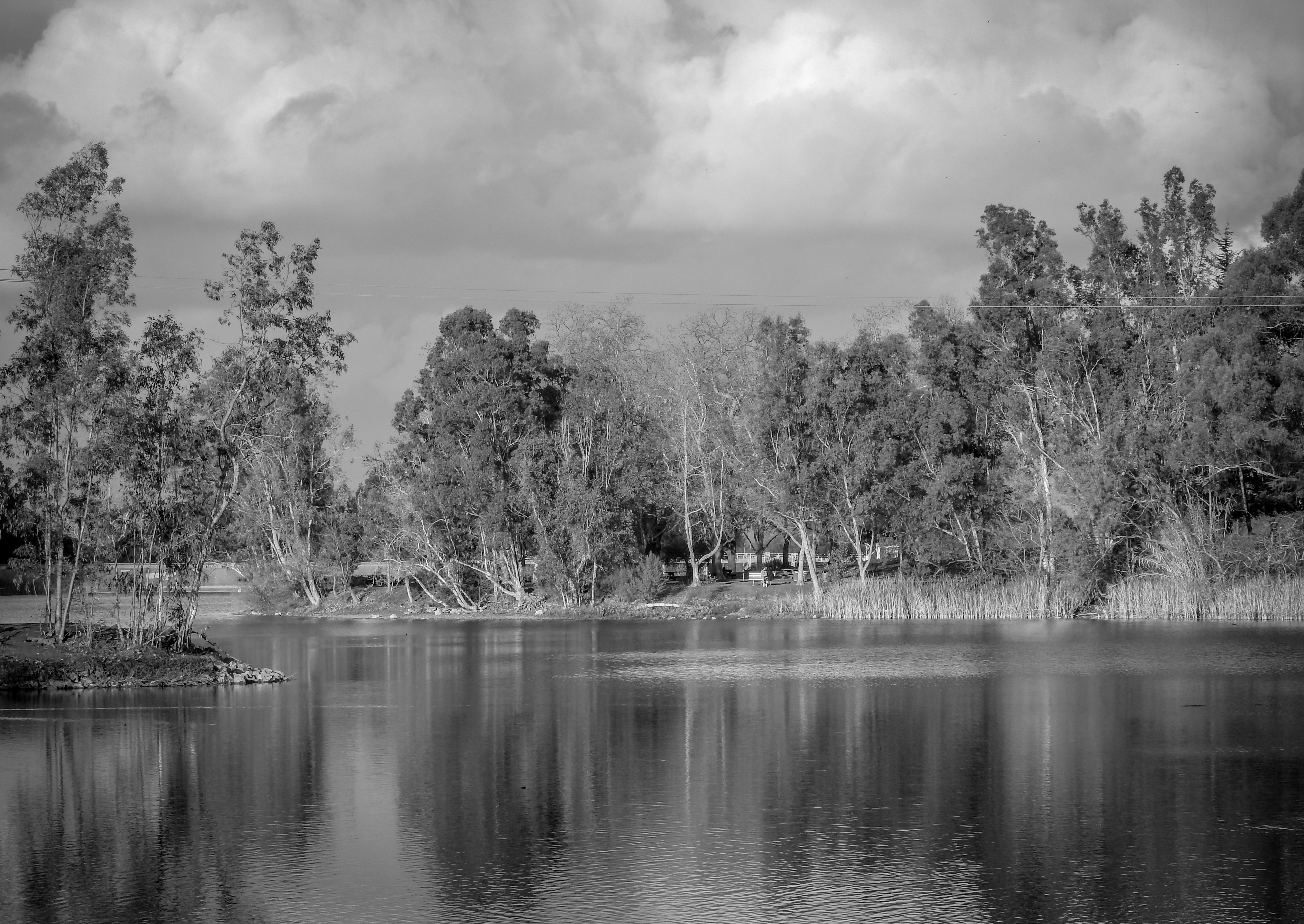
Vasona Lake

Great Long, Slow Day on the LG Creek Trail. The #408 has the best weather in the Bay Area #TeamRunTheBay #RunLocal #GetOnnit #nikeplus
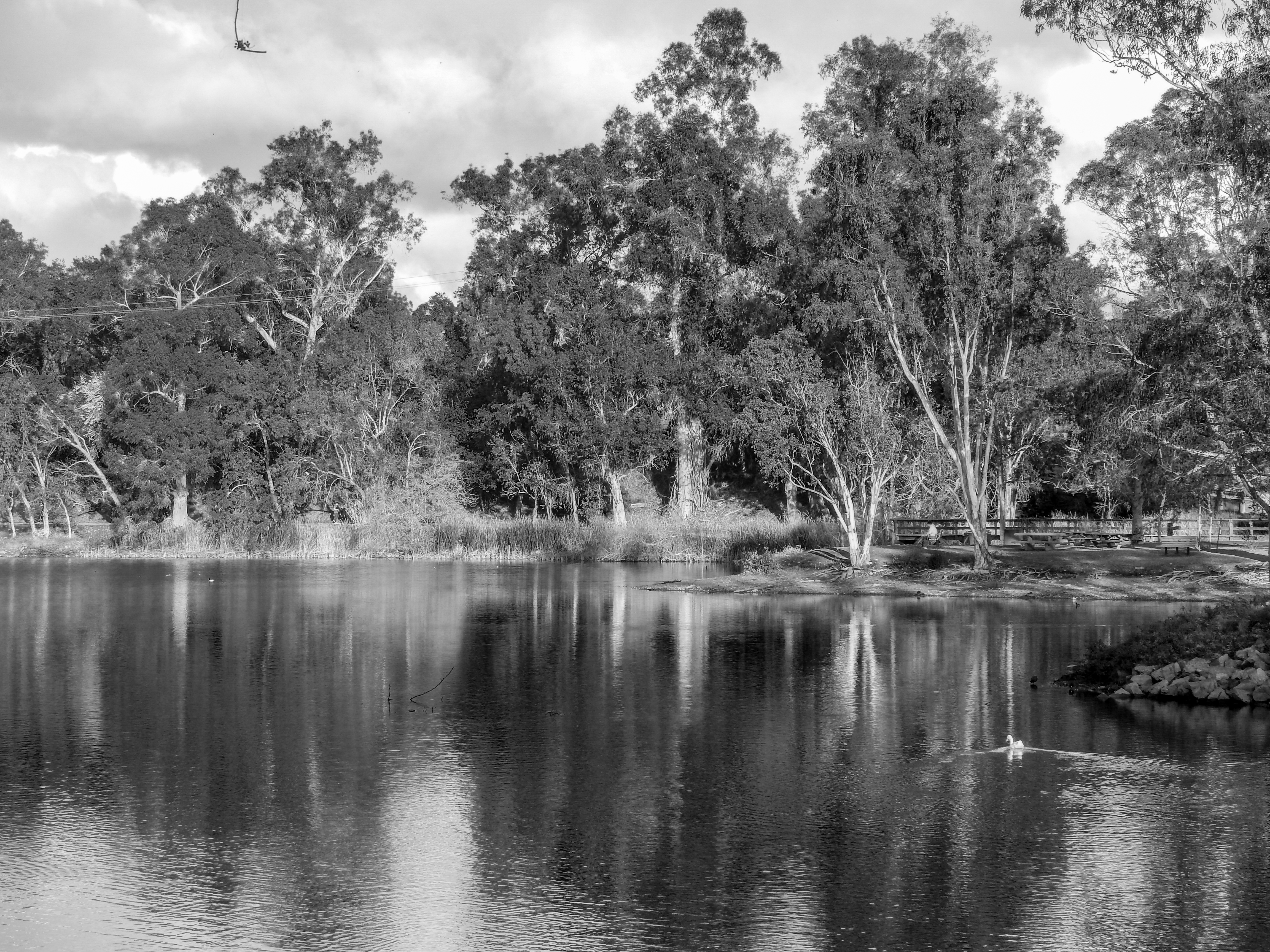
Vasona Lake
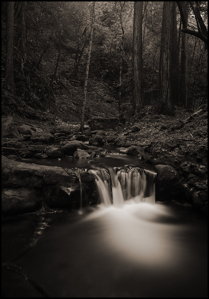
morning light in Saratoga Creek

Clouds at sunset - Happy Sliders Sunday

My Favorite Tree
Central Park
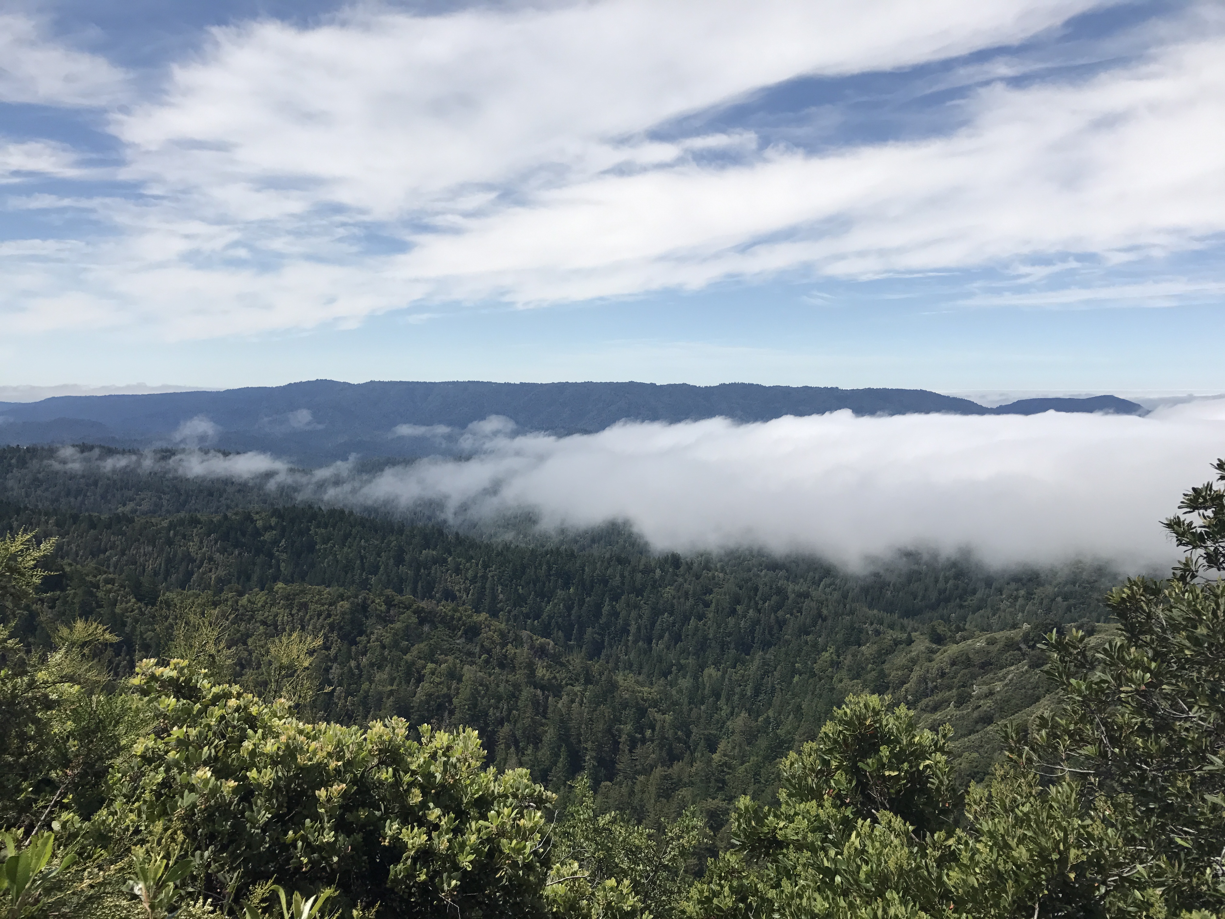
Castle Rock State Park

Shade and reflections
Topographic Map of Will Rogers Drive, Will Rogers Dr, San Jose, CA, USA
Find elevation by address:

Places near Will Rogers Drive, Will Rogers Dr, San Jose, CA, USA:
4125 De Mille Dr
Anderson West
957 Gretchen Ln
Teale Avenue
1248 Rosalia Ave
Piper Drive
Starbird
Keltner Avenue
780 San Tomas Aquino Rd
Caravella Drive
Poe Lane
4804 Doyle Rd
West Valley
Pebble Glen Drive
Rogers
Hathaway
1042 W Hamilton Ave
Beck Drive
Hayford Drive
Teresita Drive
Recent Searches:
- Elevation of Elwyn Dr, Roanoke Rapids, NC, USA
- Elevation of Congressional Dr, Stevensville, MD, USA
- Elevation of Bellview Rd, McLean, VA, USA
- Elevation of Stage Island Rd, Chatham, MA, USA
- Elevation of Shibuya Scramble Crossing, 21 Udagawacho, Shibuya City, Tokyo -, Japan
- Elevation of Jadagoniai, Kaunas District Municipality, Lithuania
- Elevation of Pagonija rock, Kranto 7-oji g. 8"N, Kaunas, Lithuania
- Elevation of Co Rd 87, Jamestown, CO, USA
- Elevation of Tenjo, Cundinamarca, Colombia
- Elevation of Côte-des-Neiges, Montreal, QC H4A 3J6, Canada