Elevation of Wildorado, TX, USA
Location: United States > Texas > Oldham County >
Longitude: -102.20047
Latitude: 35.2094976
Elevation: 1196m / 3924feet
Barometric Pressure: 88KPa
Elevation Map:
Satellite Map:
Related Photos:
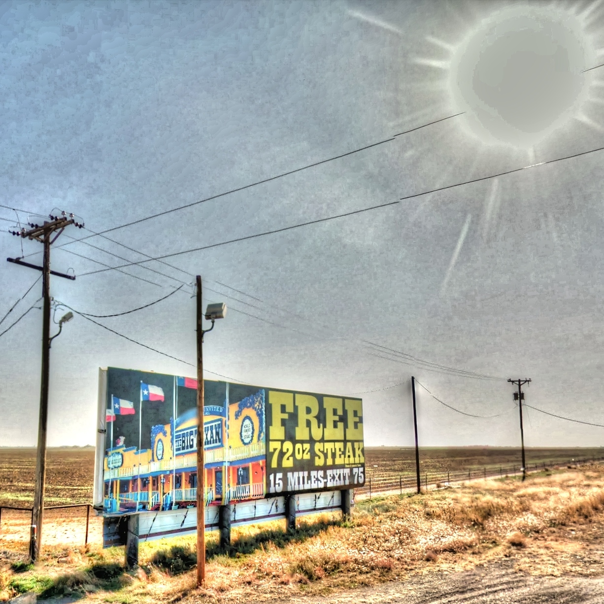
Google Street View - Pan-American Trek - Free 72 ounce steak
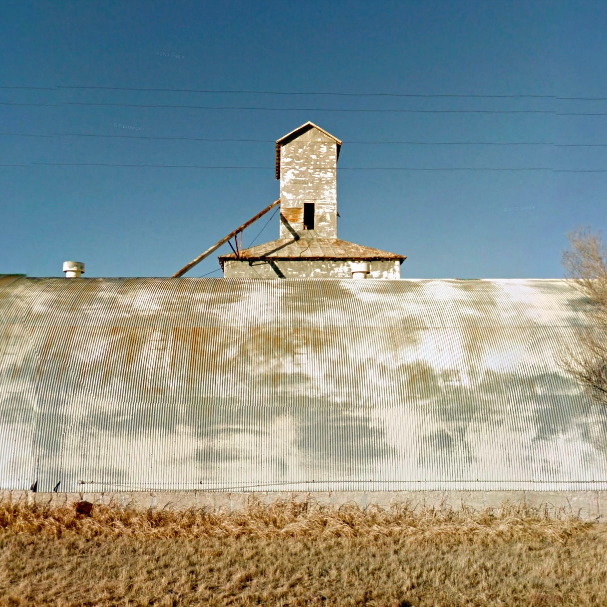
Google Street View - Pan-American Trek - Wildorado
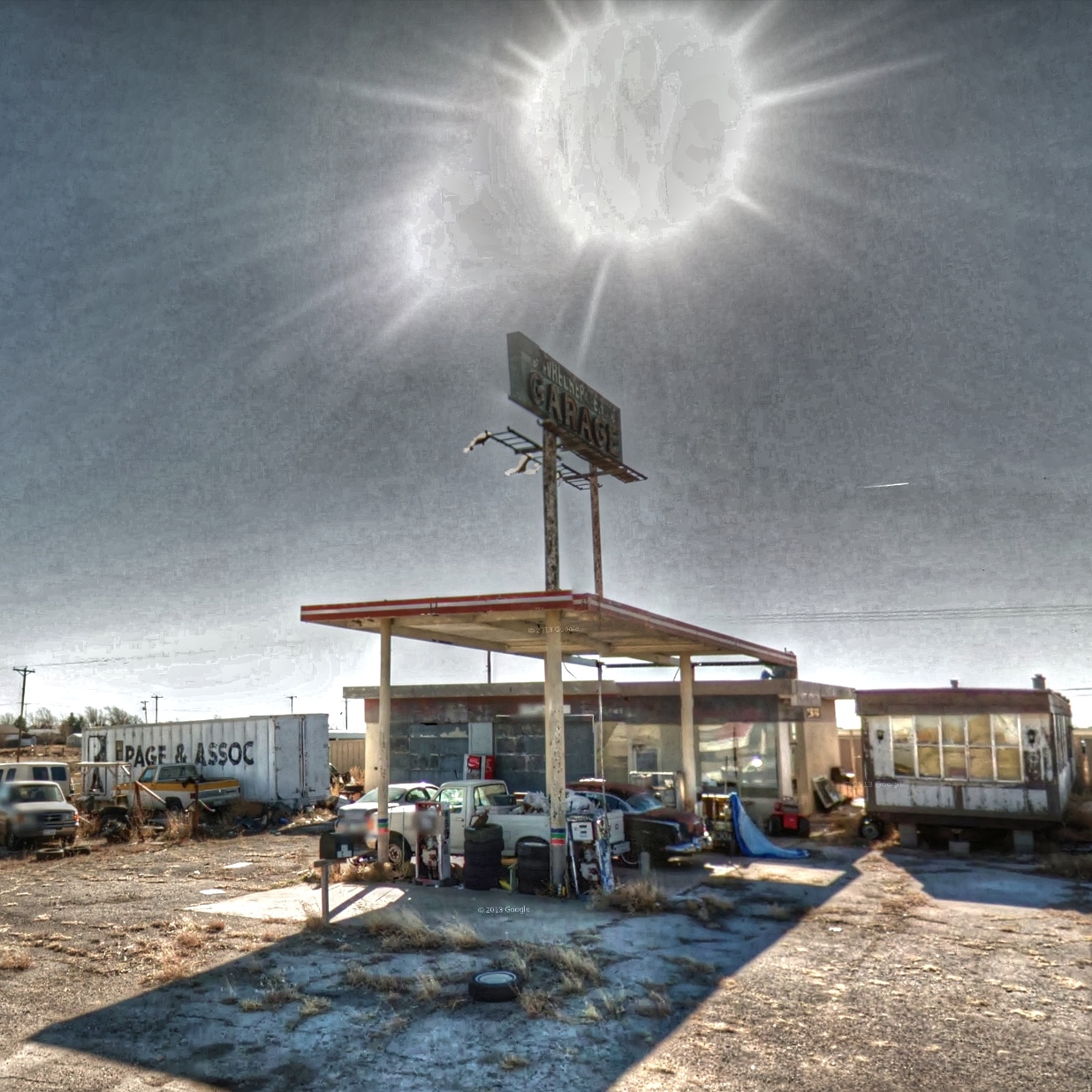
Google Street View - Pan-American Trek - Anon Garage
Google Street View - Pan-American Trek -

Google Street View - Pan-American Trek - Anon house
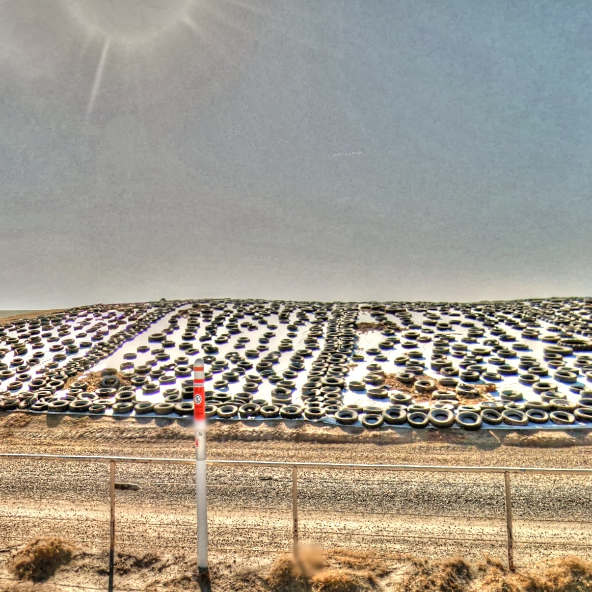
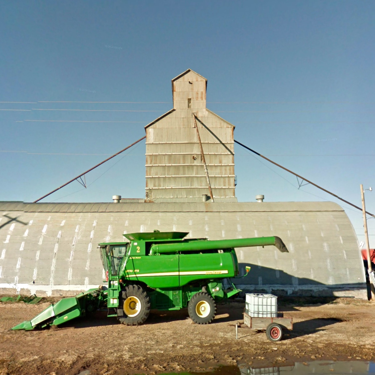
Google Street View - Pan-American Trek - Tire farm

Impossible Trek - Wildorado, Texas
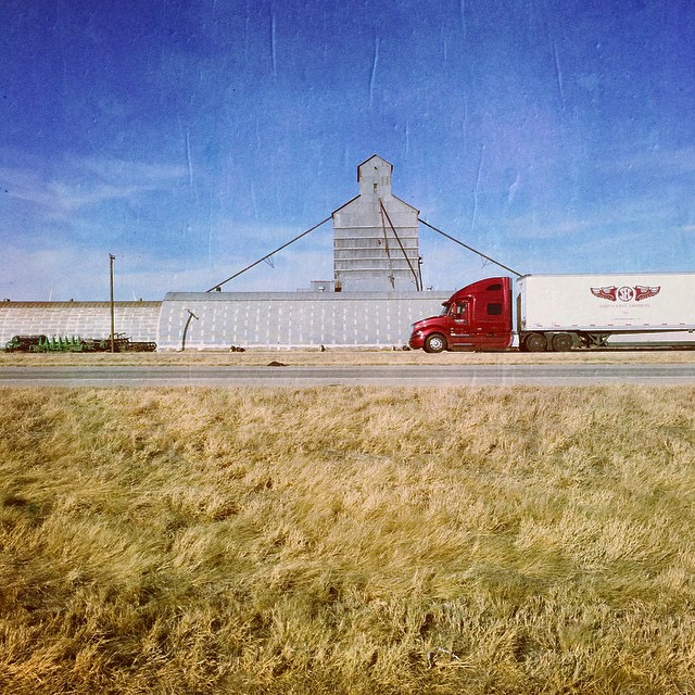
#Texas #I40 I think that says it all. LOTS more to come

Texas Lonely Tree
2012-10-10 15.23.50

Cadillac Ranch

Landscape_062713_LR-5.jpg
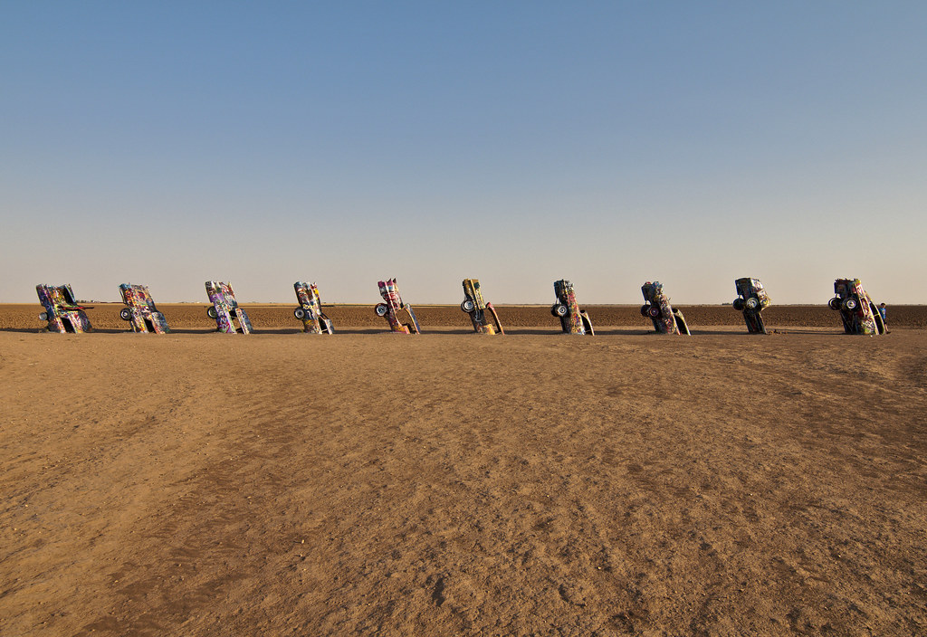
Cadillac Ranch, Amarillo, Texas 2011

Landscape_102111_LR-65.jpg

2009-04-21_SpringTrip_068

2009-04-21_SpringTrip_066
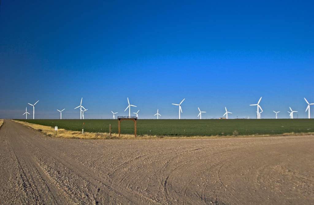
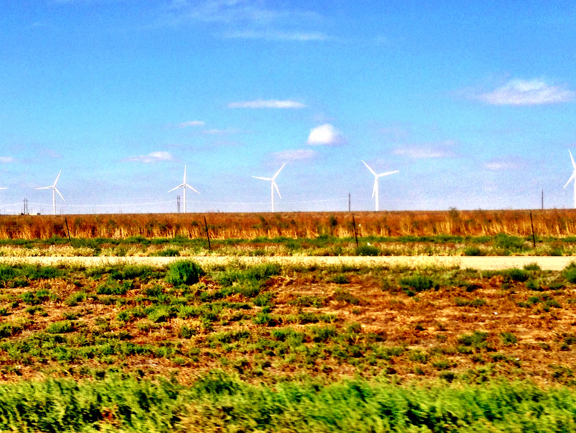
Wildorado Wind Ranch™

2009-04-21_SpringTrip_065
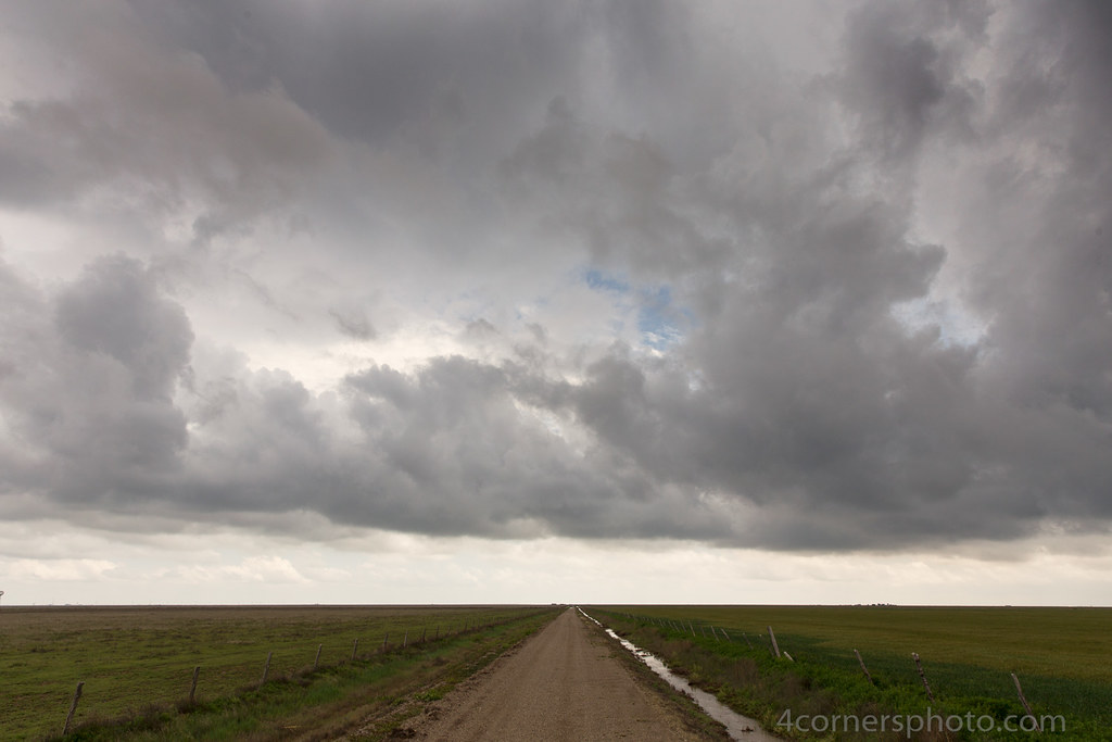
Thunderstorm and Prairie, Oldham County, TX
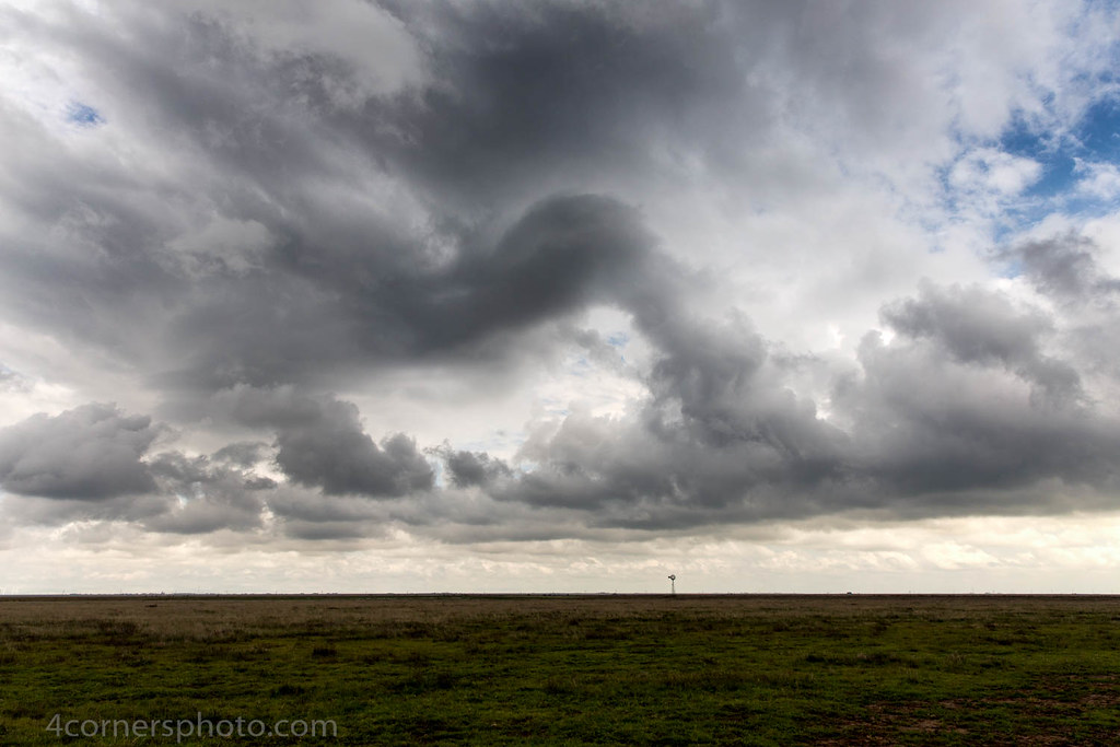
Thunderstorm and Windmill, Wildorado, TX
Topographic Map of Wildorado, TX, USA
Find elevation by address:

Places in Wildorado, TX, USA:
Places near Wildorado, TX, USA:
I-40, Wildorado, TX, USA
Vega Blvd, Vega, TX, USA
Vega
Cliffside Rd, Amarillo, TX, USA
Potter County
1541 Bell St
6174 Sandie Dr
5509 Sw 9th Ave
1620 S La Salle St
106 N Palo Duro St
Boys Ranch
3810 Lynette Dr
5103 Royce Dr
Moss Lane Club
Riesling Way
Valle De Oro Detectors
Amarillo
4430 S Mirror St
2114 Se 40th Ave
Bluebonnet Dr, Amarillo, TX, USA
Recent Searches:
- Elevation of Corso Fratelli Cairoli, 35, Macerata MC, Italy
- Elevation of Tallevast Rd, Sarasota, FL, USA
- Elevation of 4th St E, Sonoma, CA, USA
- Elevation of Black Hollow Rd, Pennsdale, PA, USA
- Elevation of Oakland Ave, Williamsport, PA, USA
- Elevation of Pedrógão Grande, Portugal
- Elevation of Klee Dr, Martinsburg, WV, USA
- Elevation of Via Roma, Pieranica CR, Italy
- Elevation of Tavkvetili Mountain, Georgia
- Elevation of Hartfords Bluff Cir, Mt Pleasant, SC, USA