Elevation of Wilder Rd, Wilder, TN, USA
Location: United States > Tennessee > Fentress County >
Longitude: -85.105457
Latitude: 36.27756
Elevation: 477m / 1565feet
Barometric Pressure: 96KPa
Elevation Map:
Satellite Map:
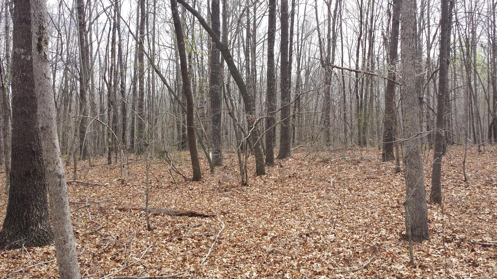
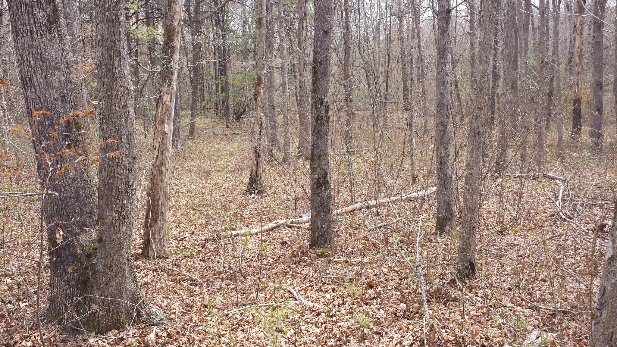
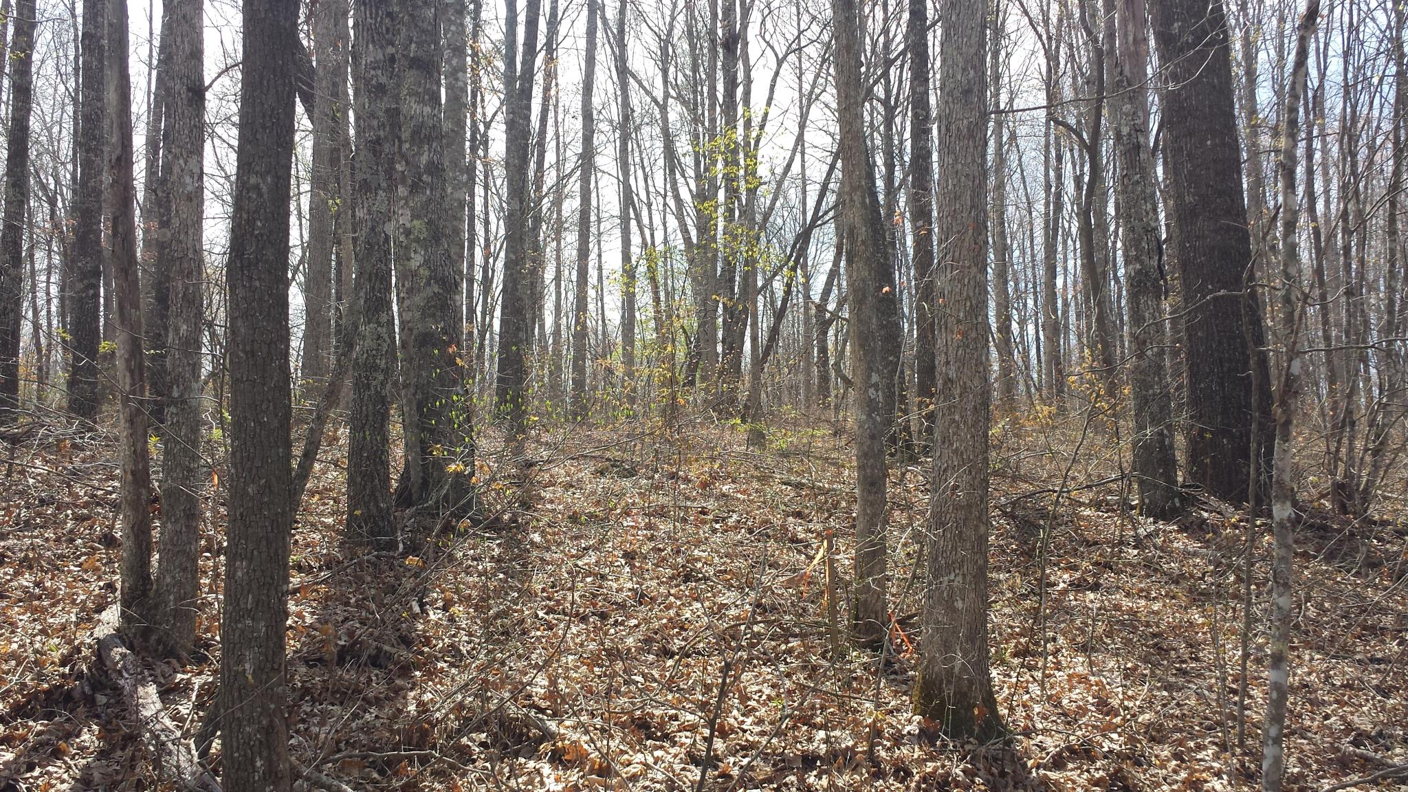
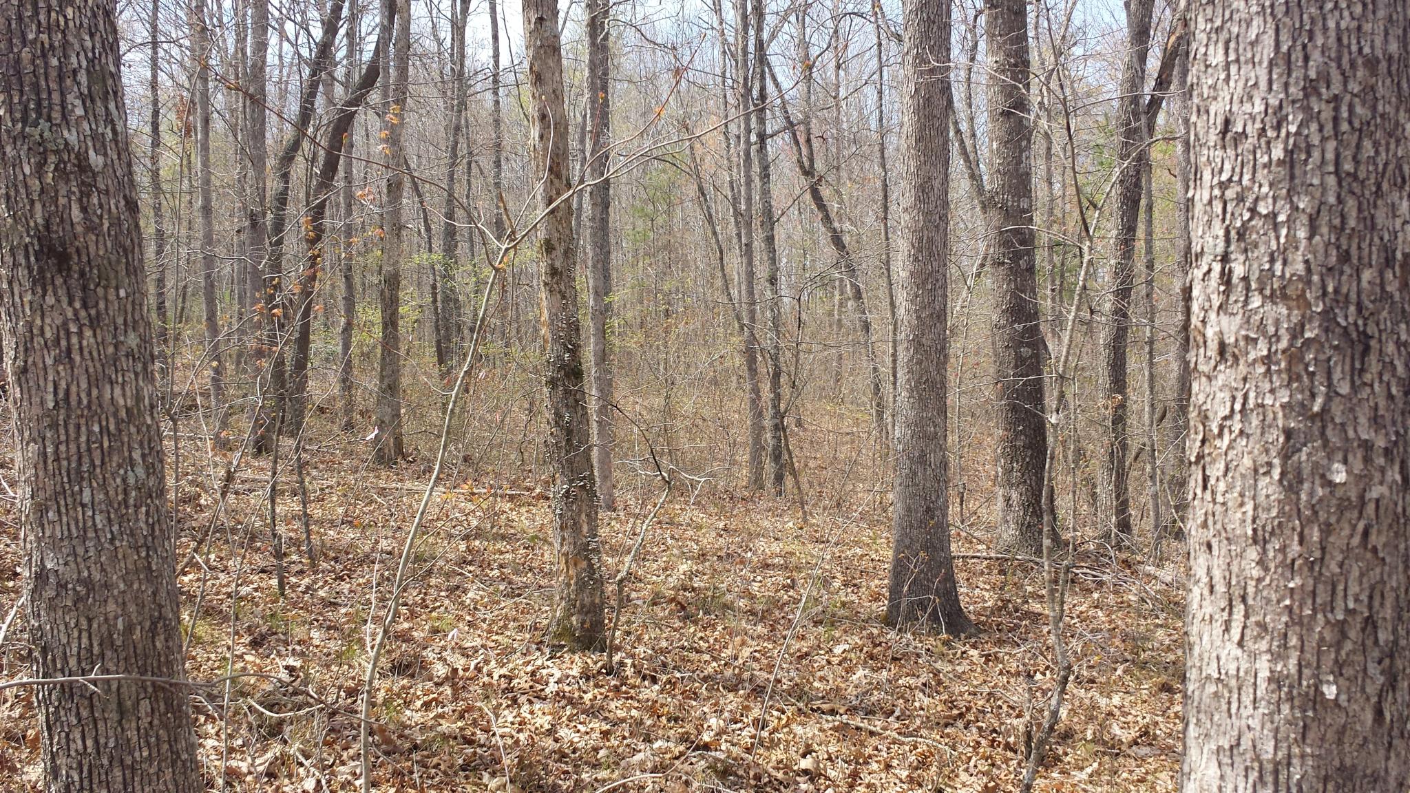
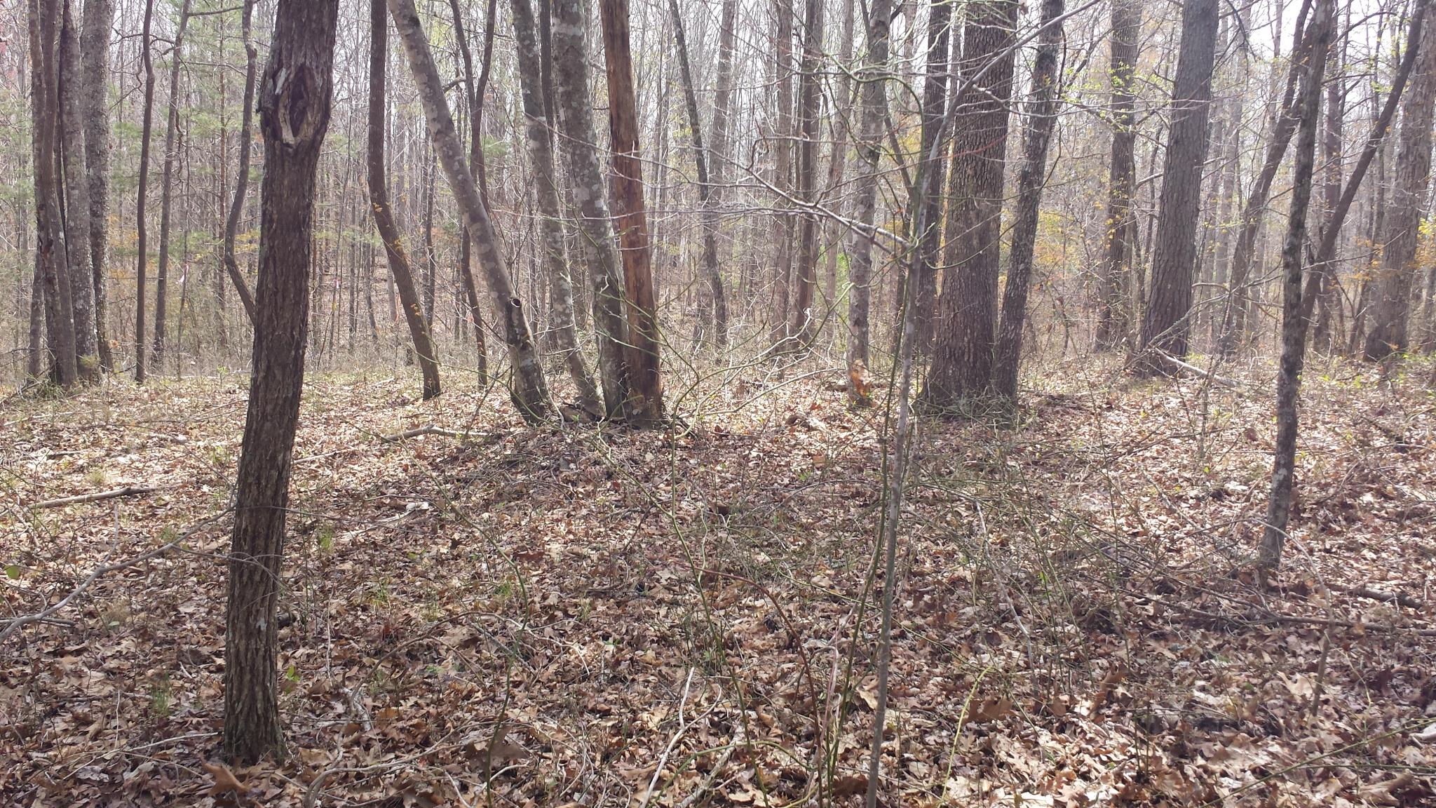
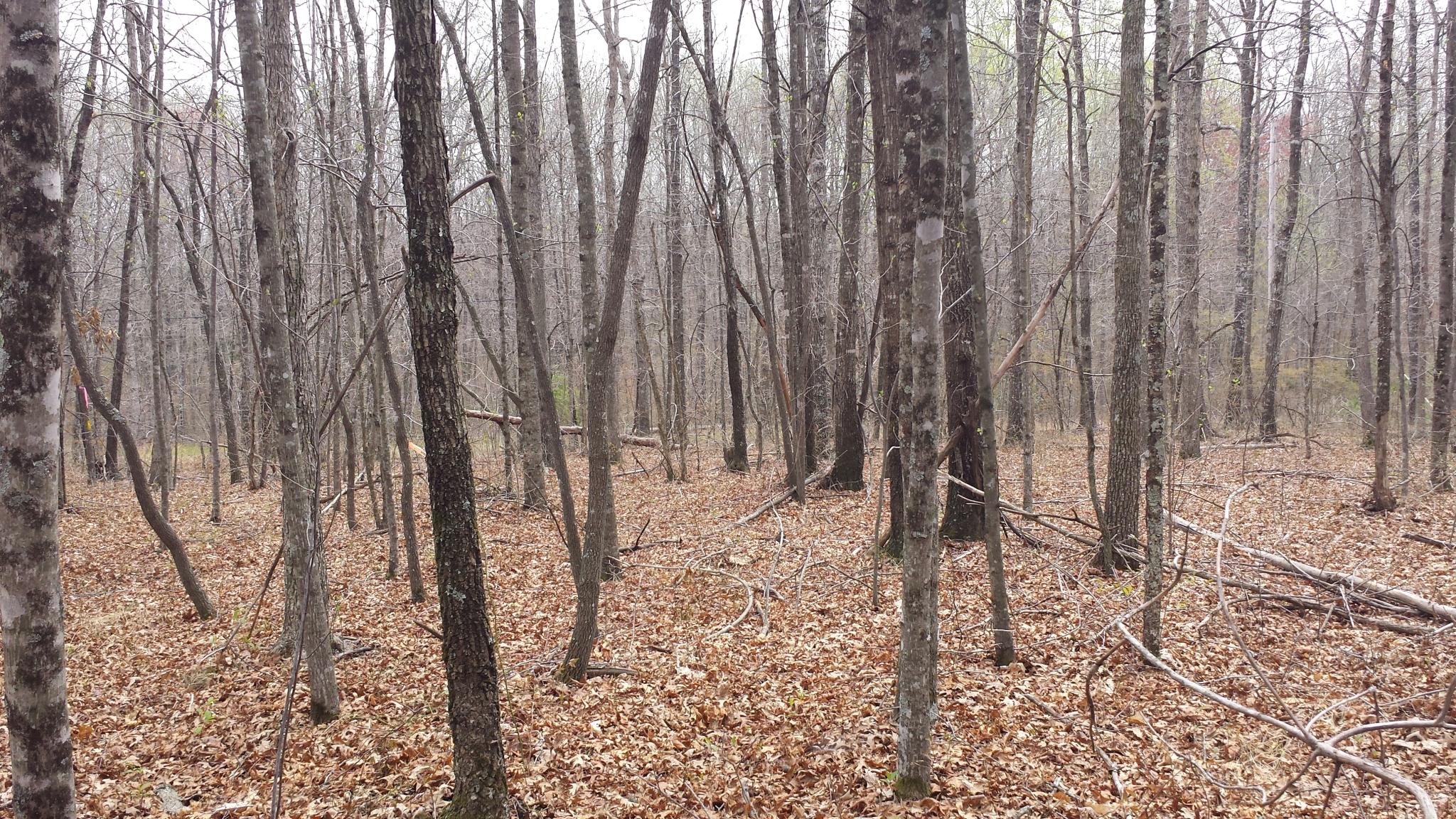
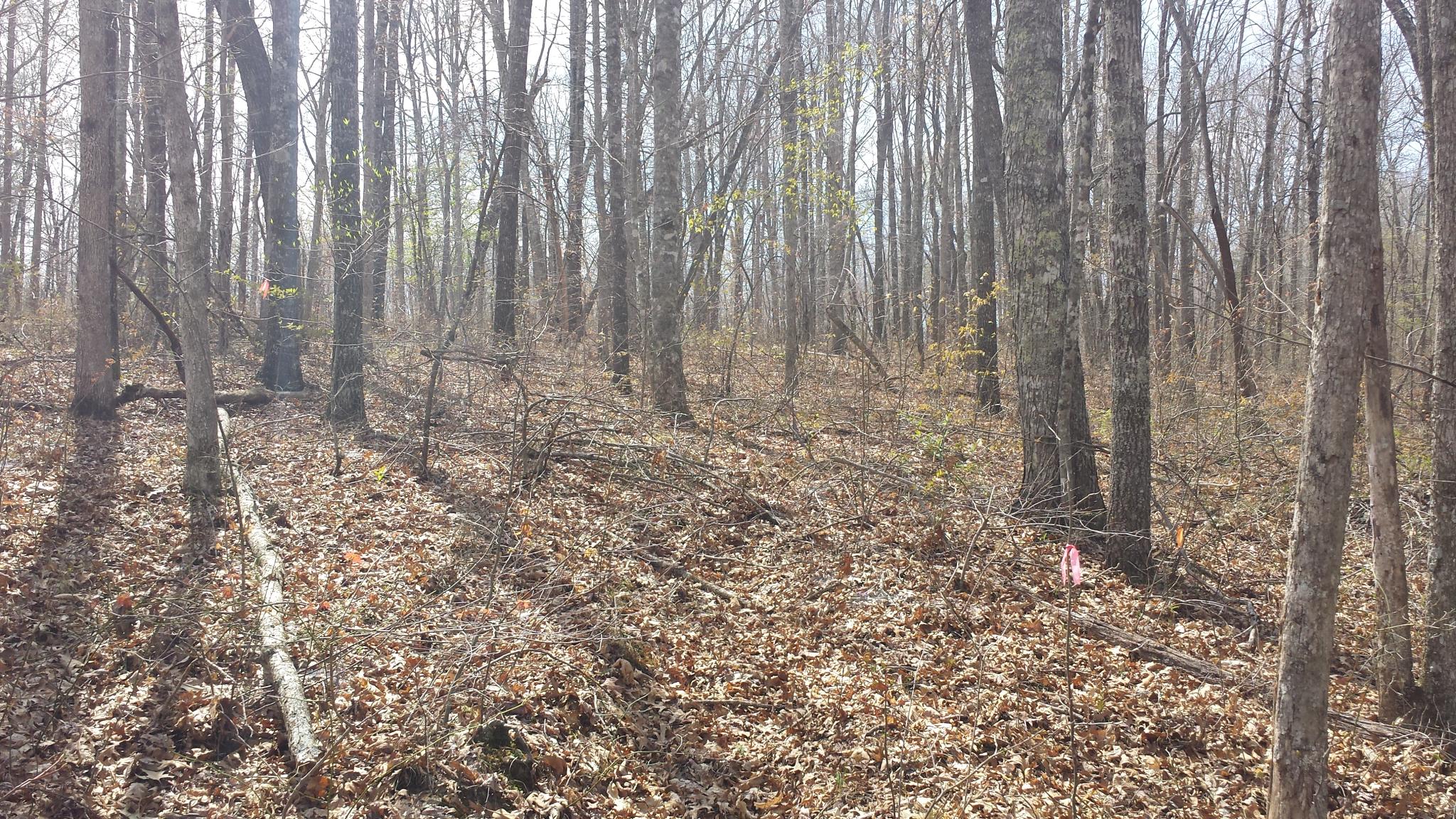
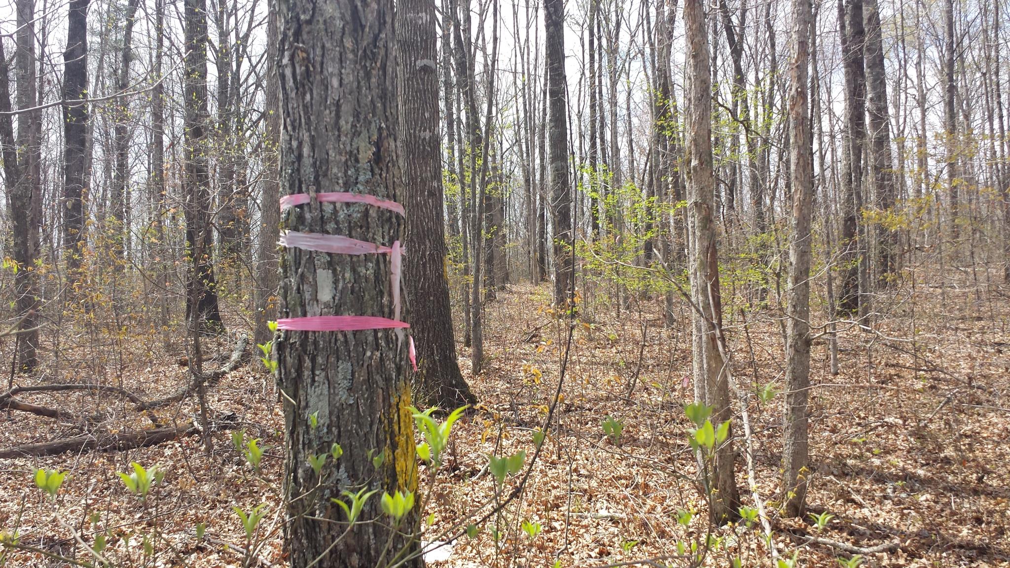
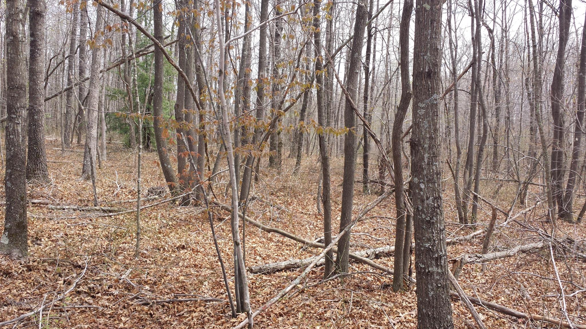
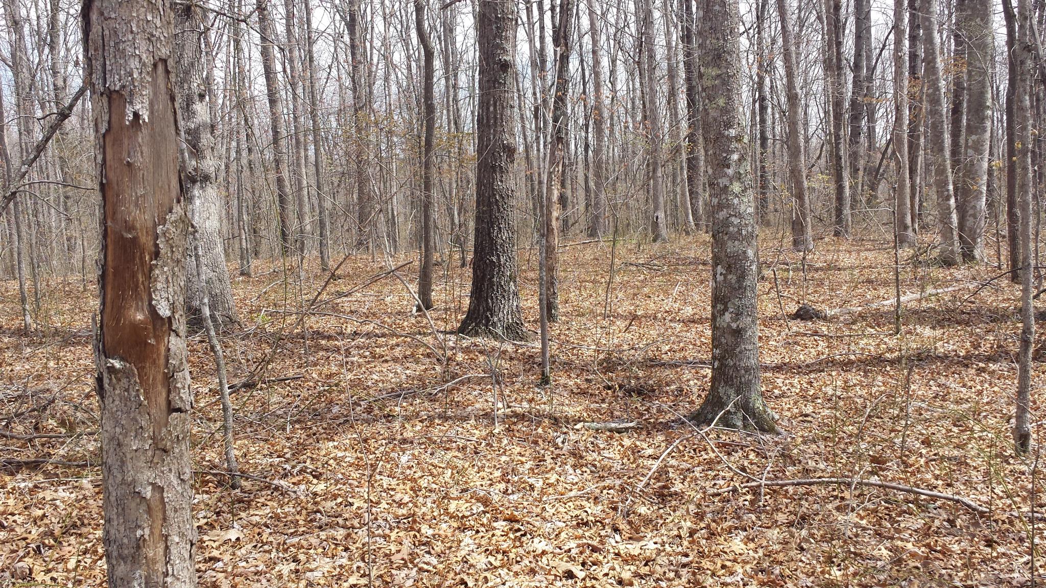
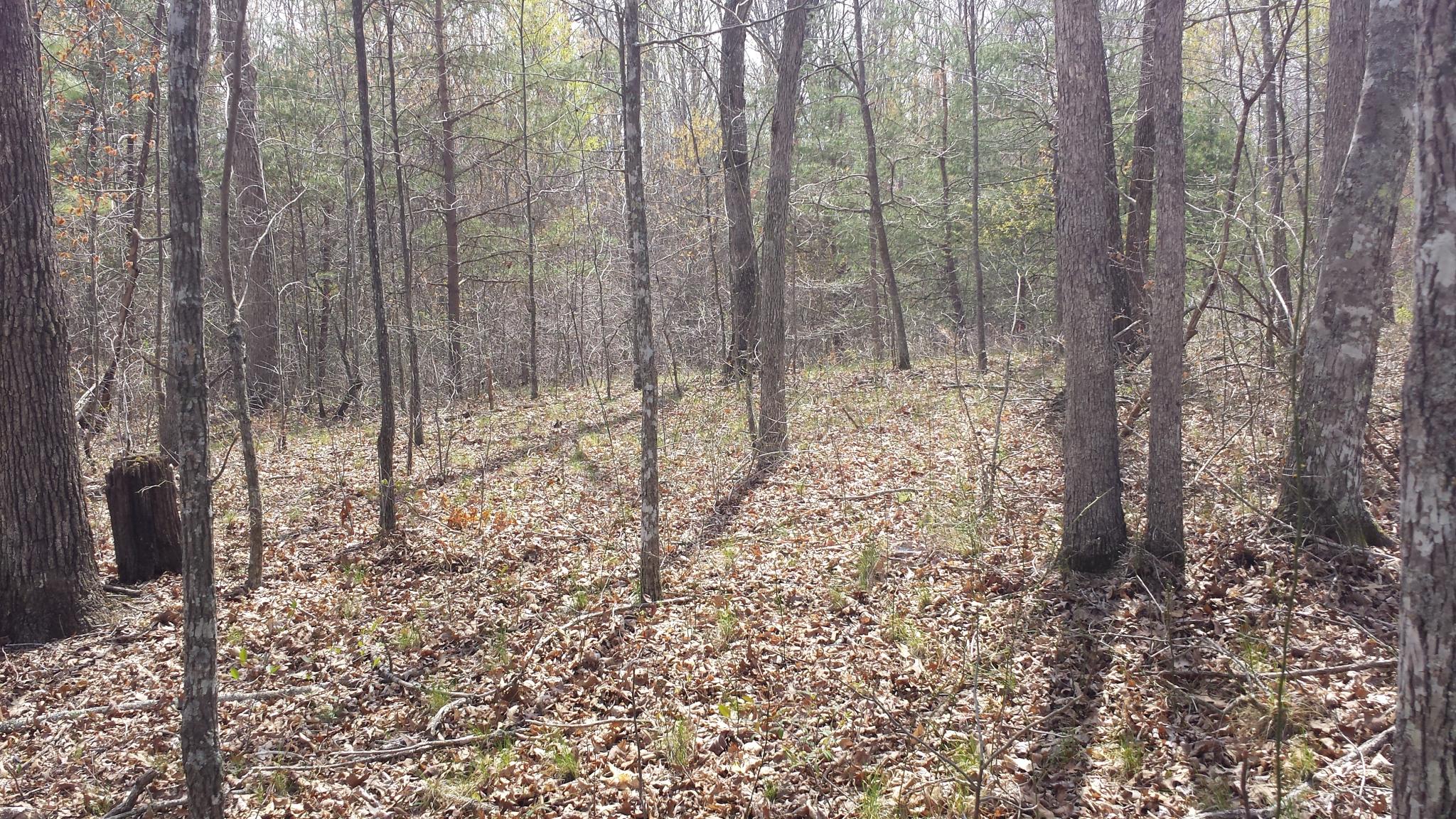
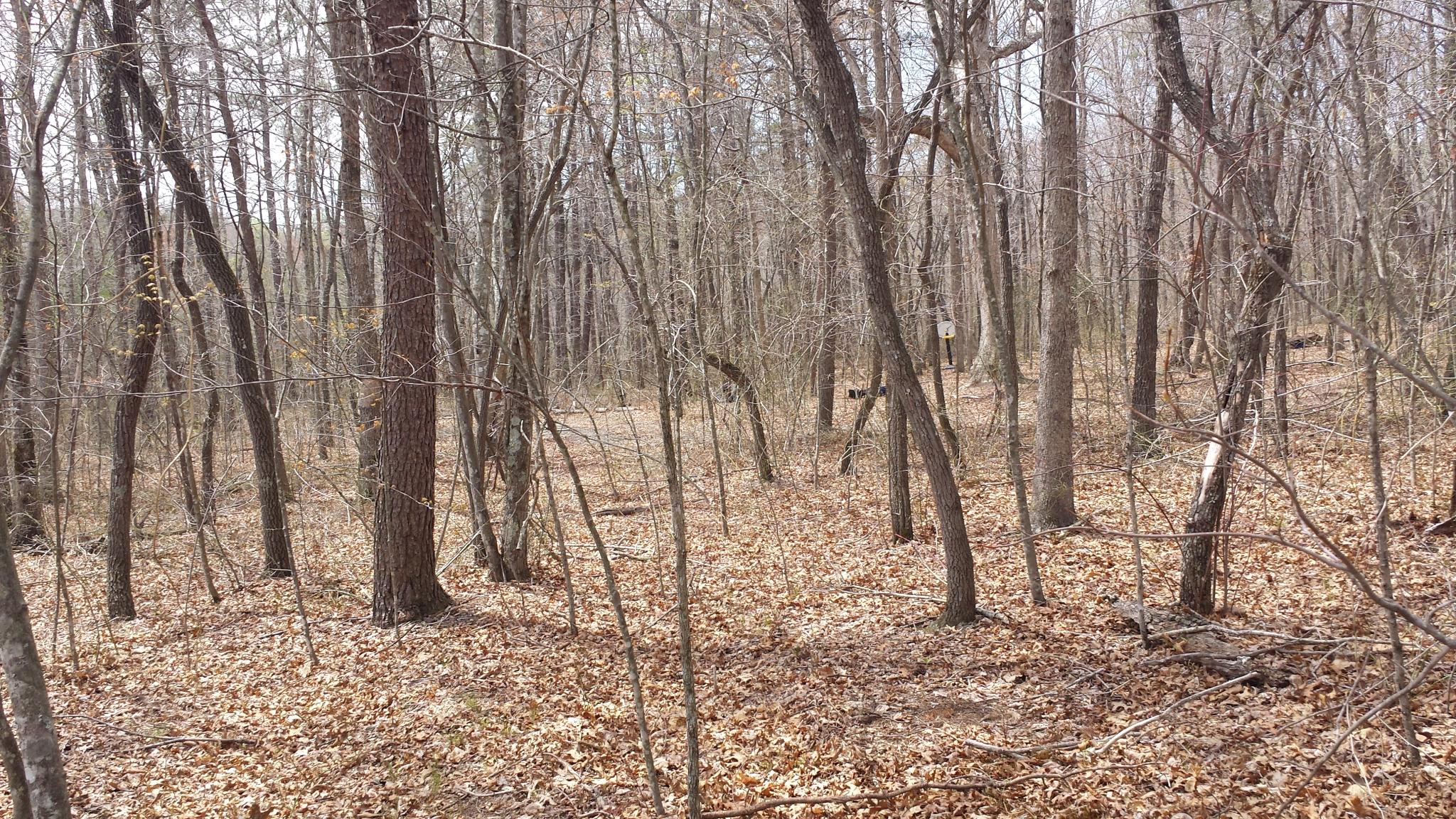
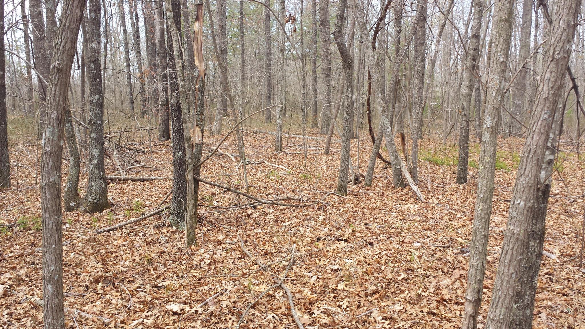
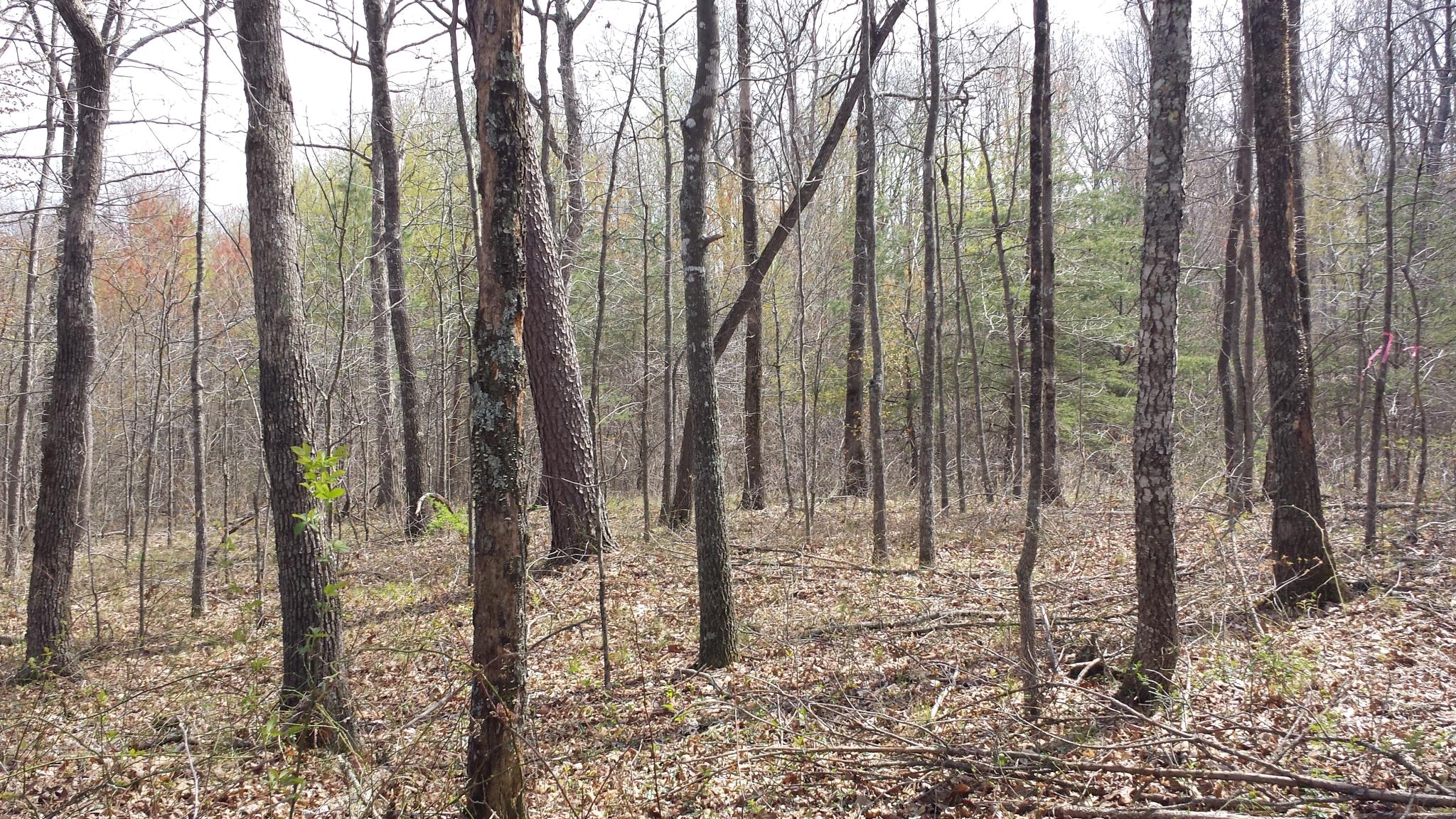
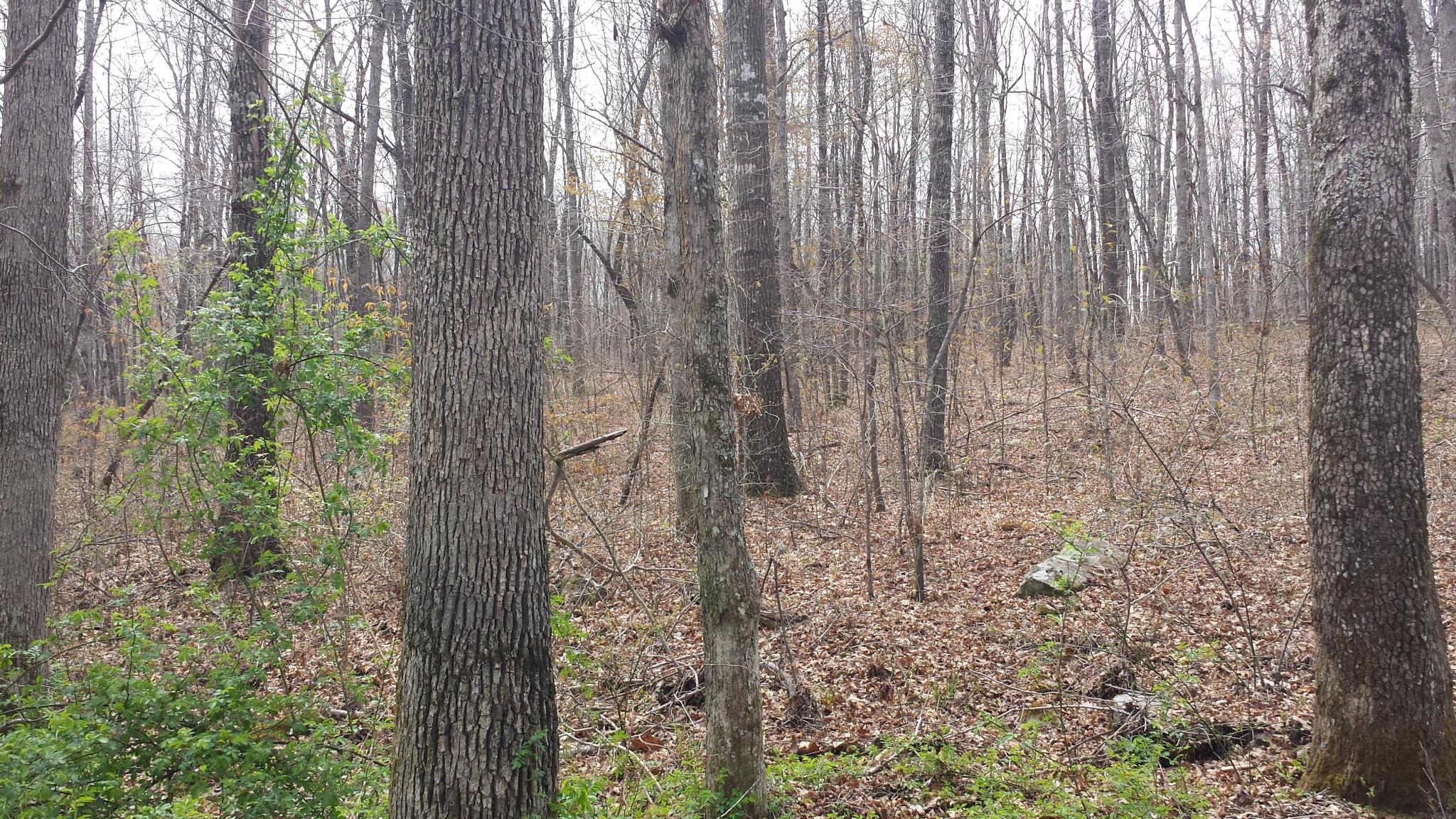
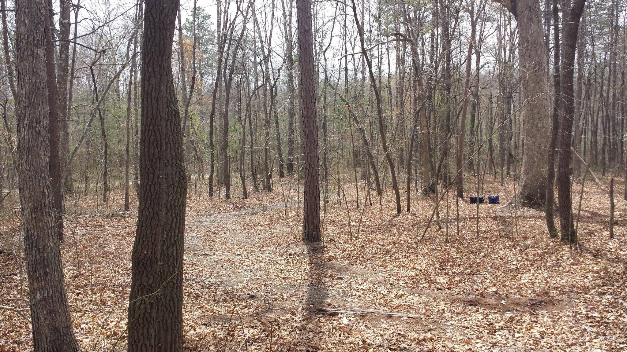
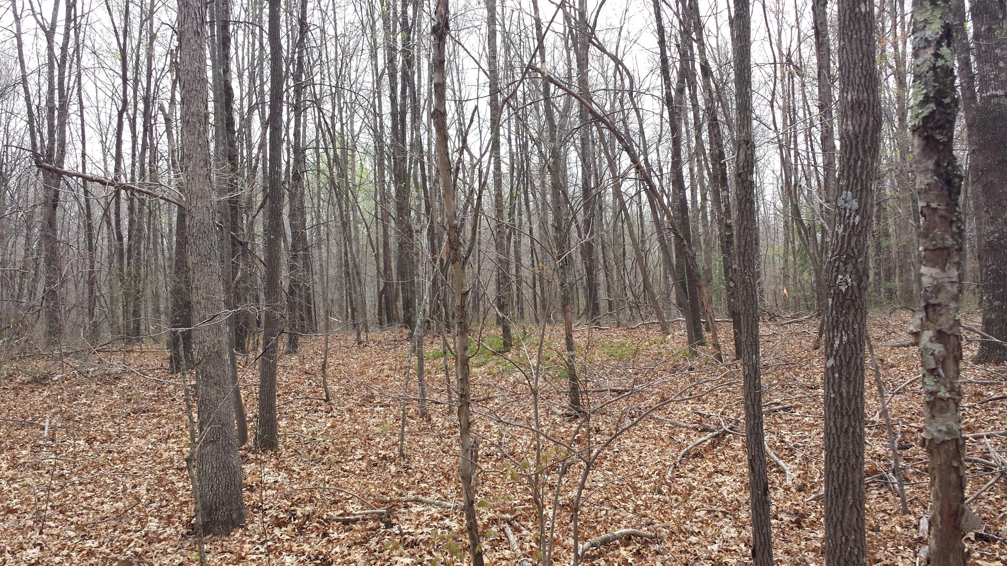
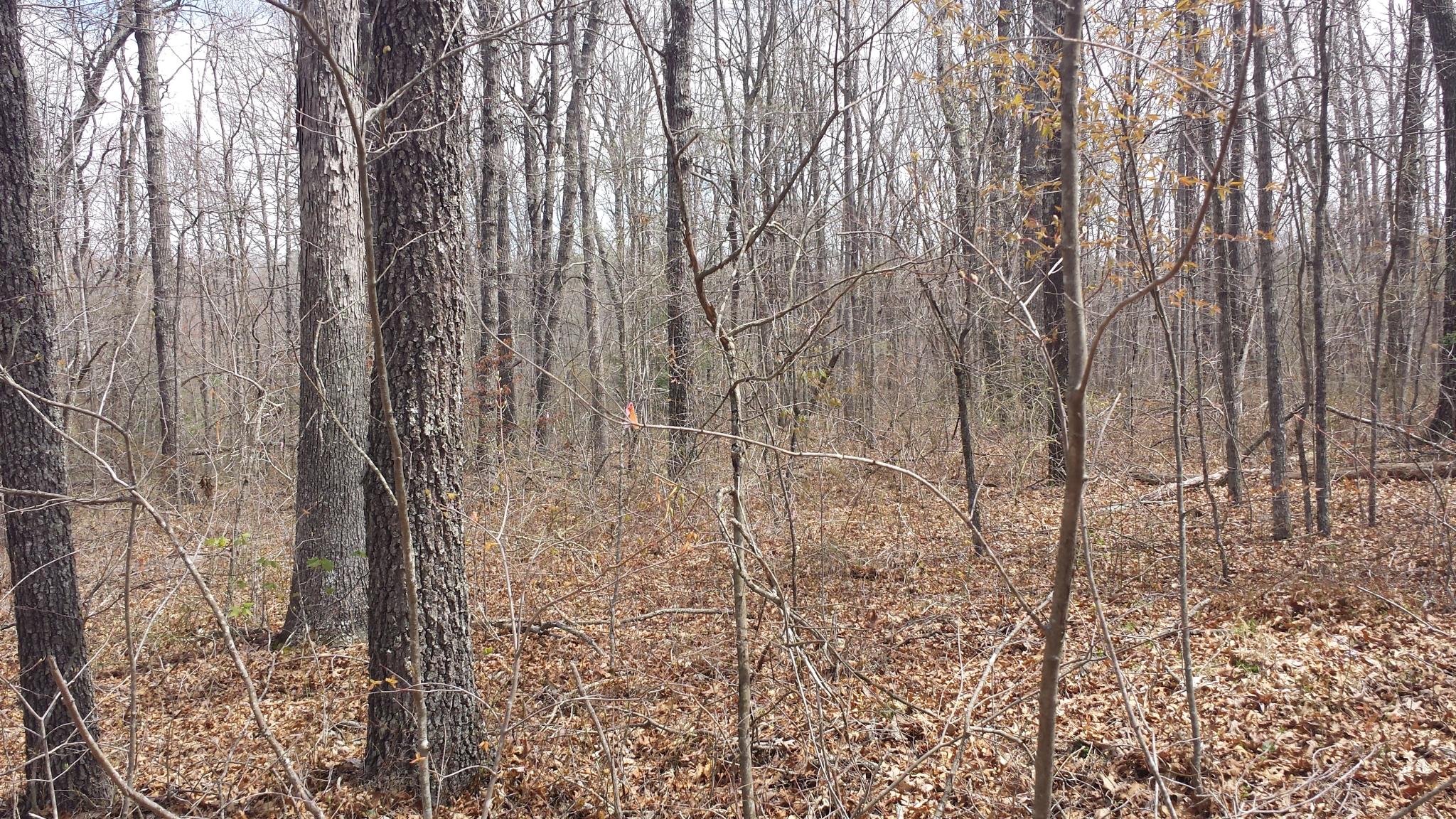
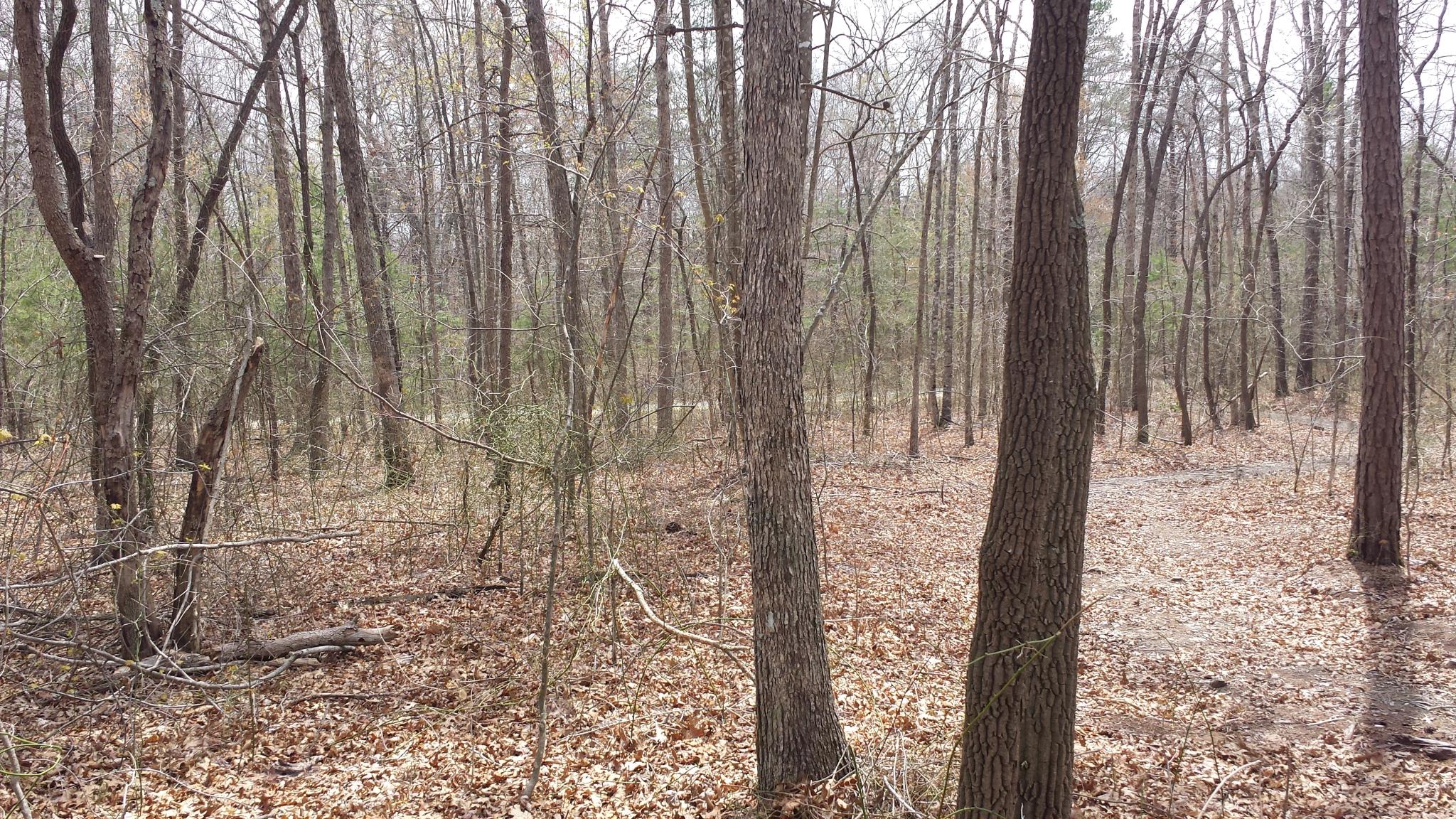
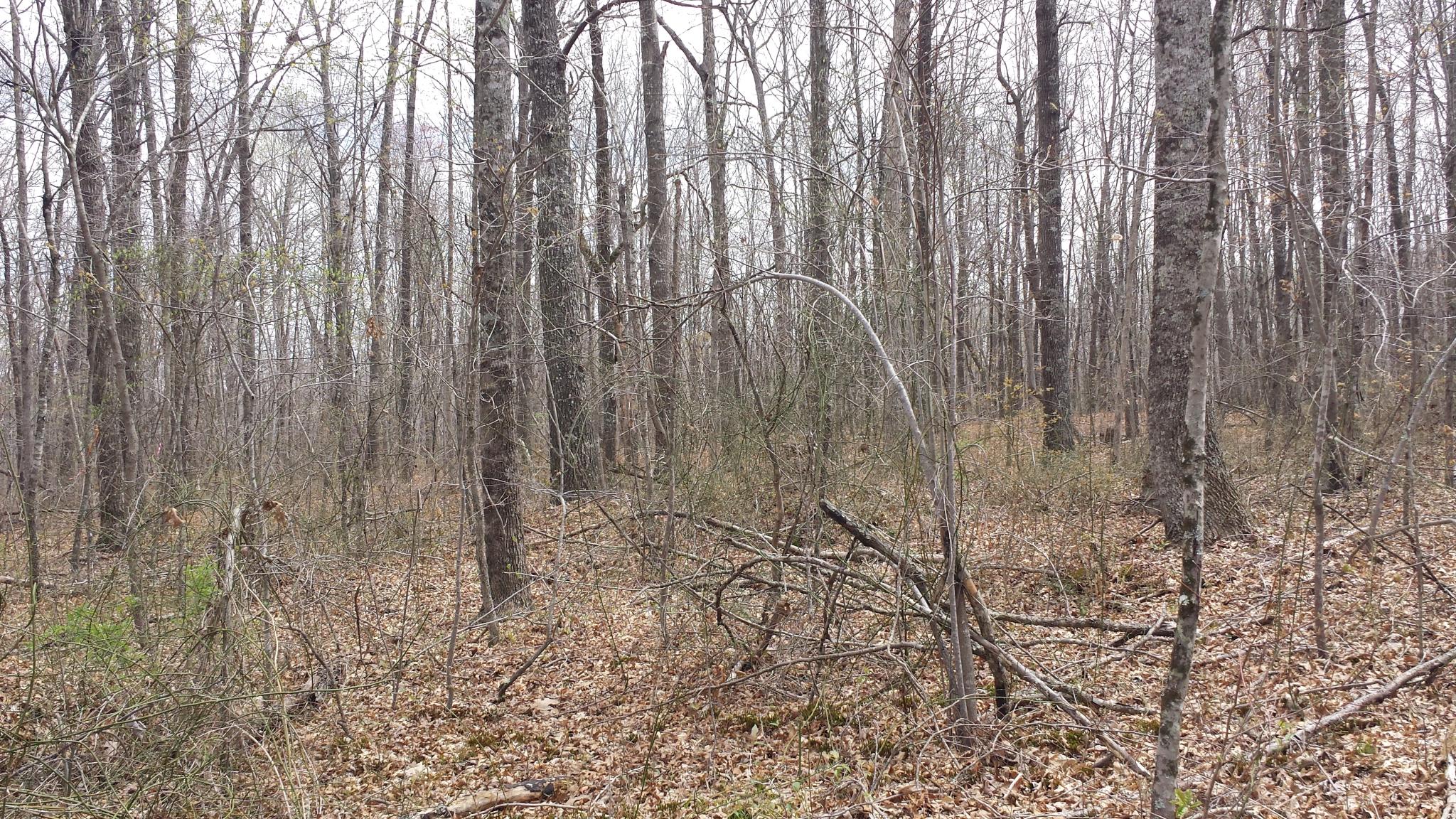
Related Photos:

Abandoned Country House

The view from my mother and fathers back poarch. Also the first shot with my new Galaxy Note 3. Uploaded using Verizon 4G LTE. #VZbuzz
te-237
te-201
te-401
te-374
te-343
te-244
te-402
te-070
te-223
te-085
te-397
te-305
te-242
te-391
te-174
te-311
te-238
te-095
te-312
te-232
Topographic Map of Wilder Rd, Wilder, TN, USA
Find elevation by address:

Places near Wilder Rd, Wilder, TN, USA:
Wilder
Twinton
Cravenstown Road
178 Old Baker Ln
5060 Hidden
71014 Key Ridge Rd
31294 Steel Tram Ridge Rd
30372 Steel Tram Ridge
645 Laurel Way
Crawford
Laurel Way
28 Big Falls
273 E Fork Ln
399 Coal Ln
Phillips Ford Road
3359 Chapel Hill Rd
Hanging Limb Hwy, Crawford, TN, USA
Allred
984 Sunk Cane Rd
916 Highland Mountain Rd
Recent Searches:
- Elevation of 6 Rue Jules Ferry, Beausoleil, France
- Elevation of Sattva Horizon, 4JC6+G9P, Vinayak Nagar, Kattigenahalli, Bengaluru, Karnataka, India
- Elevation of Great Brook Sports, Gold Star Hwy, Groton, CT, USA
- Elevation of 10 Mountain Laurels Dr, Nashua, NH, USA
- Elevation of 16 Gilboa Ln, Nashua, NH, USA
- Elevation of Laurel Rd, Townsend, TN, USA
- Elevation of 3 Nestling Wood Dr, Long Valley, NJ, USA
- Elevation of Ilungu, Tanzania
- Elevation of Yellow Springs Road, Yellow Springs Rd, Chester Springs, PA, USA
- Elevation of Rēzekne Municipality, Latvia