Elevation of Wilbur Springs Rd, Williams, CA, USA
Location: United States > California > Colusa County >
Longitude: -122.42088
Latitude: 39.0388093
Elevation: 412m / 1352feet
Barometric Pressure: 96KPa
Elevation Map:
Satellite Map:
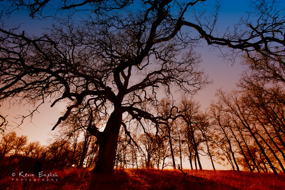
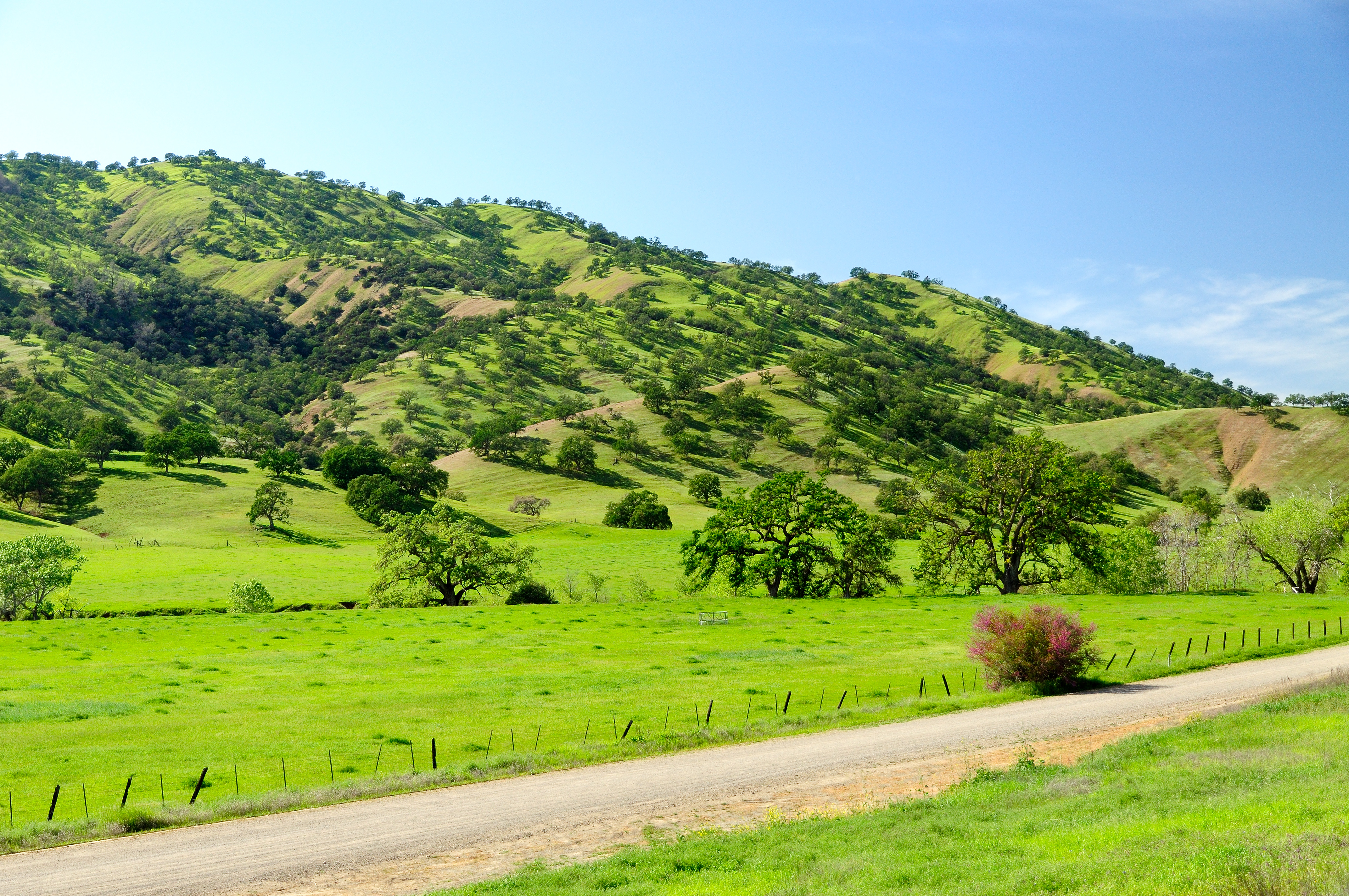
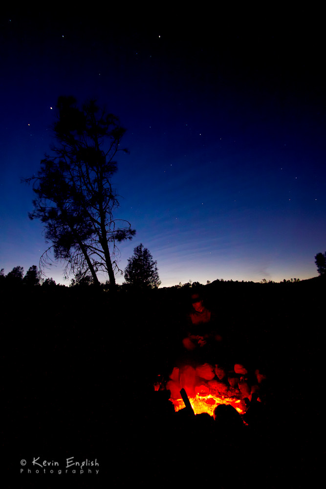
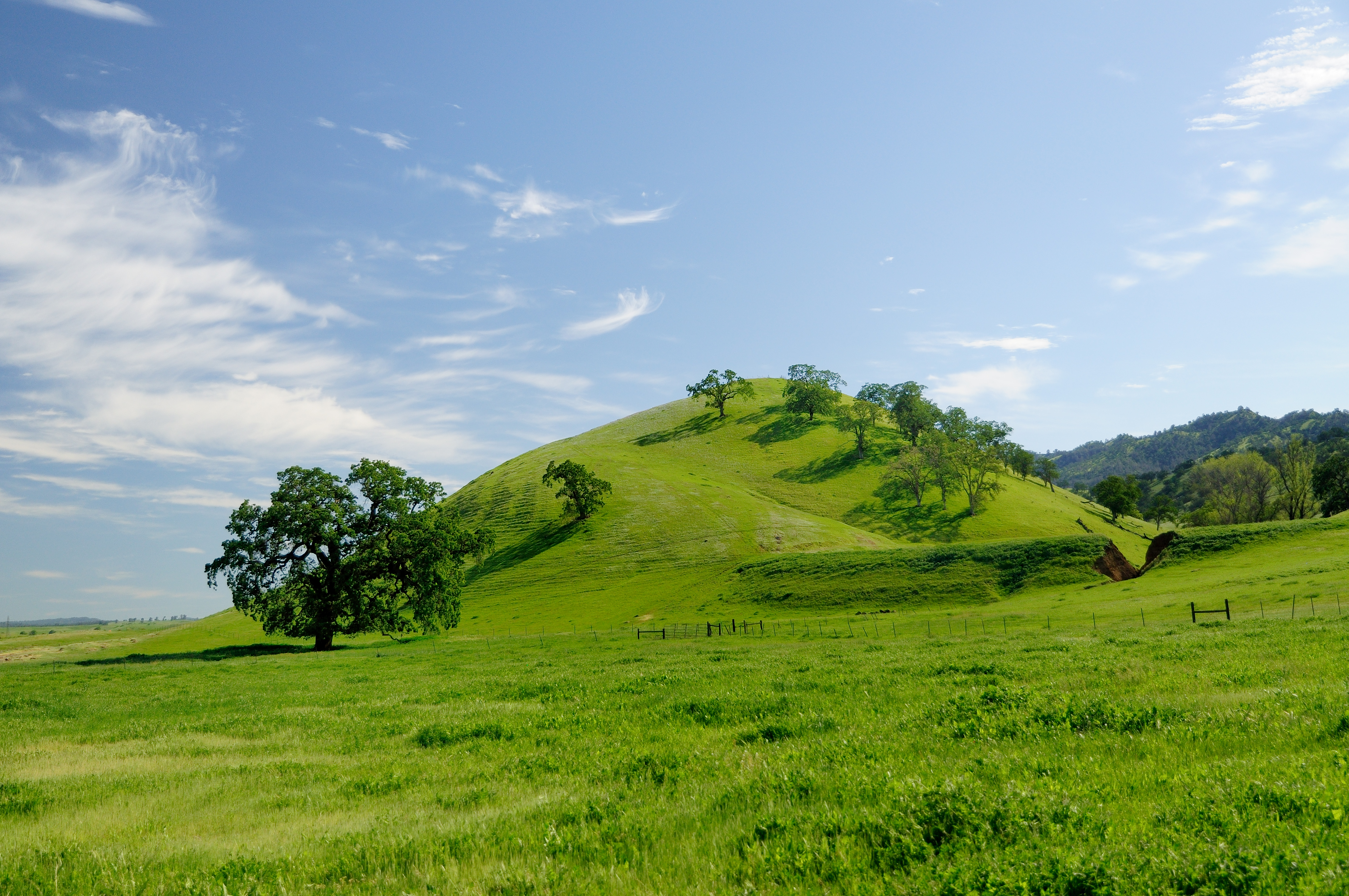
Related Photos:
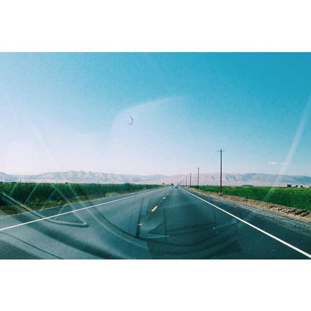
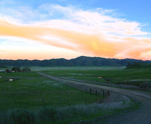
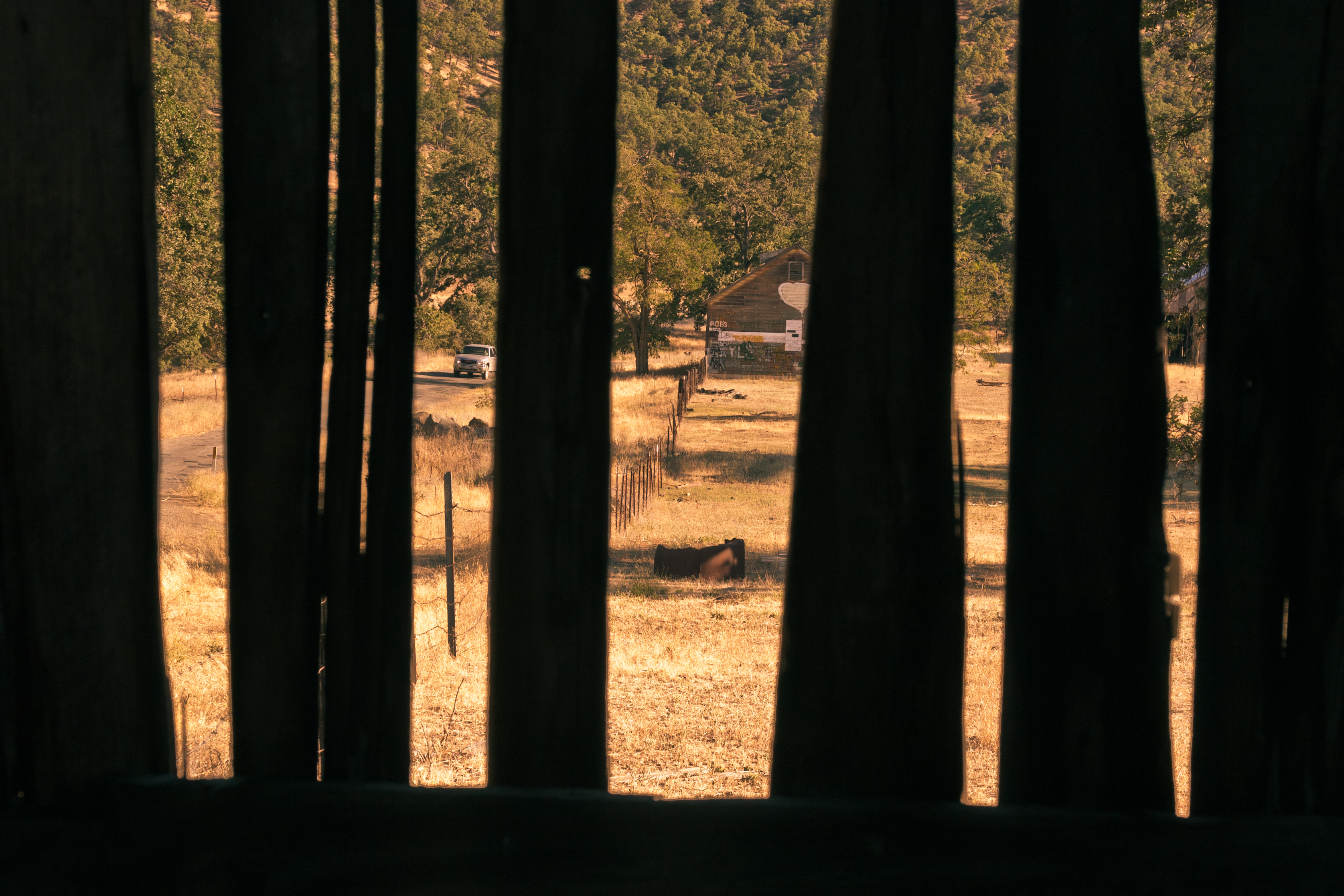
View from the road. Enroute to detour no. 4.
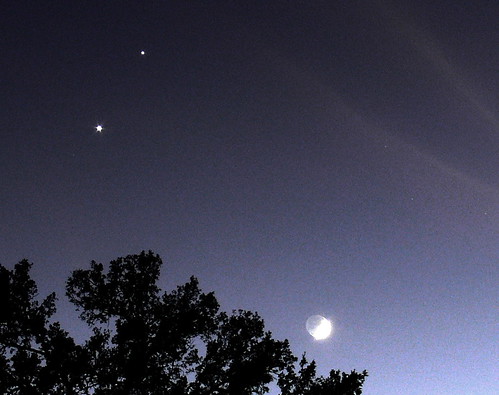
Blown Out Crescent - Venus Jupiter & the Moon
Let LA RAZA's Race! - Spring Valley Raceway
Squid Heaven
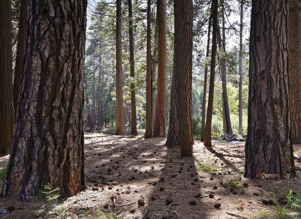
Mariposa pine tree forest. Yosemite
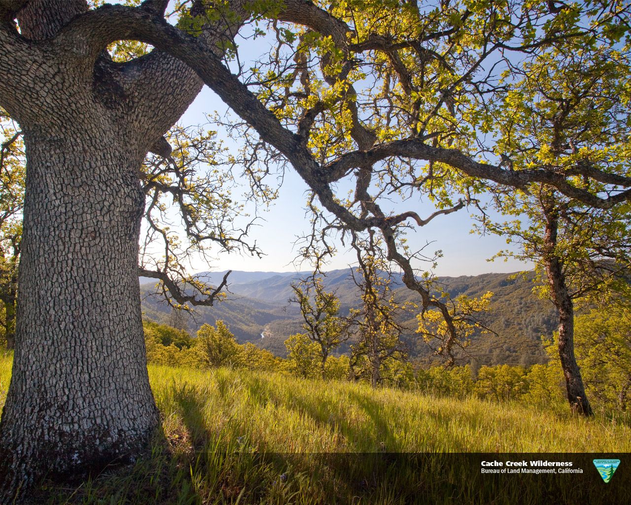
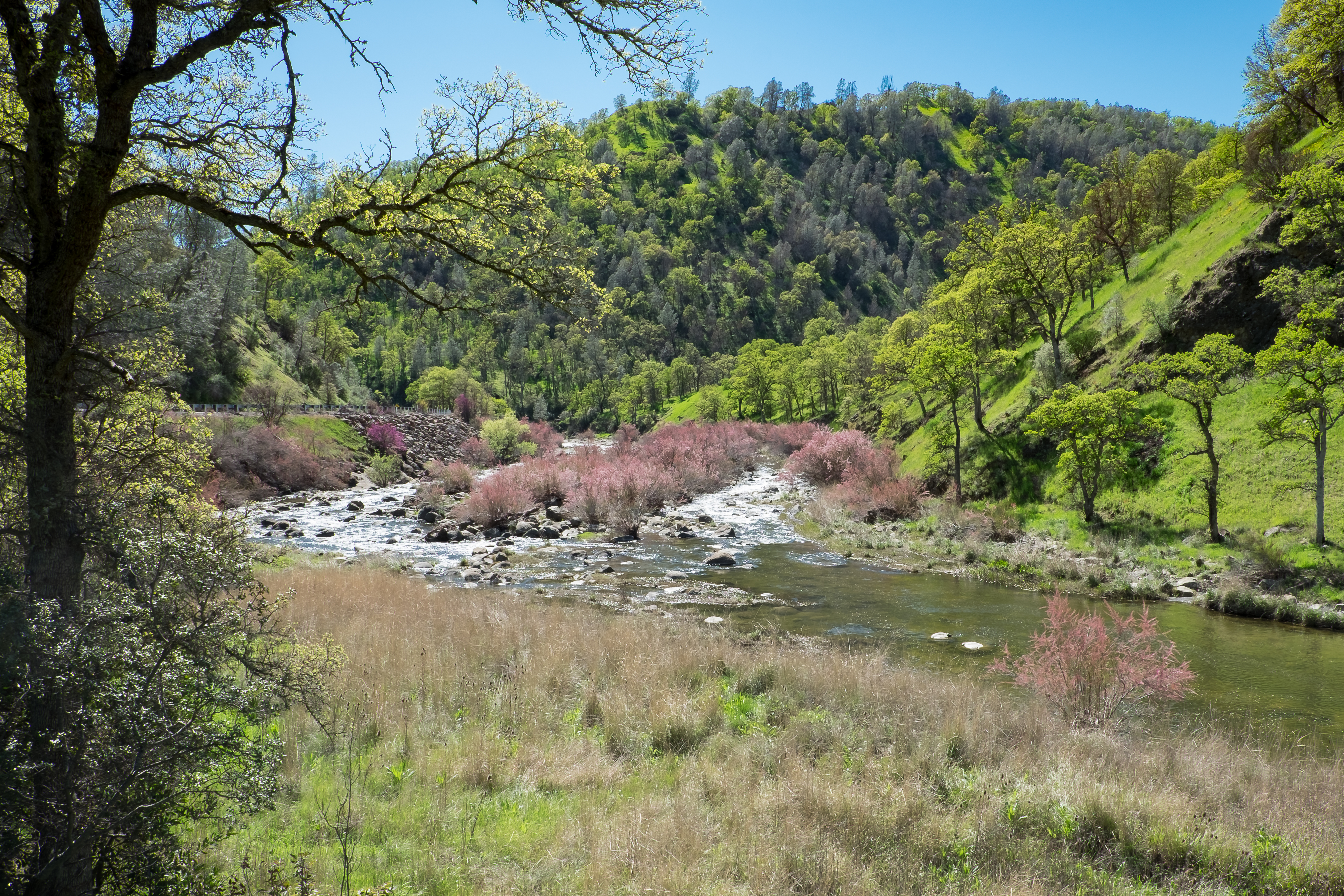
Cache Creek Wilderness
Cache Creek Wilderness
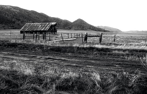
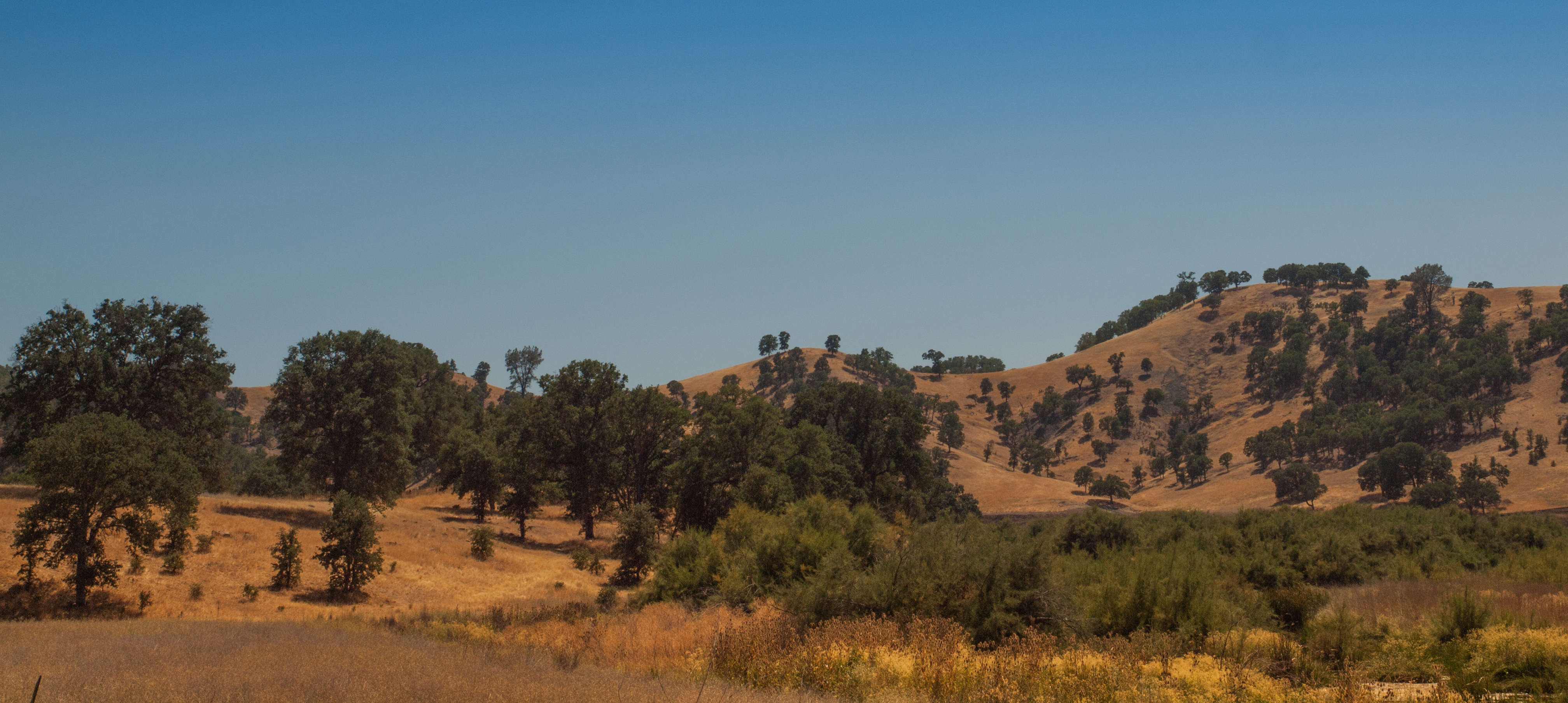
Range Land off Bear Valley Road
Winter Break
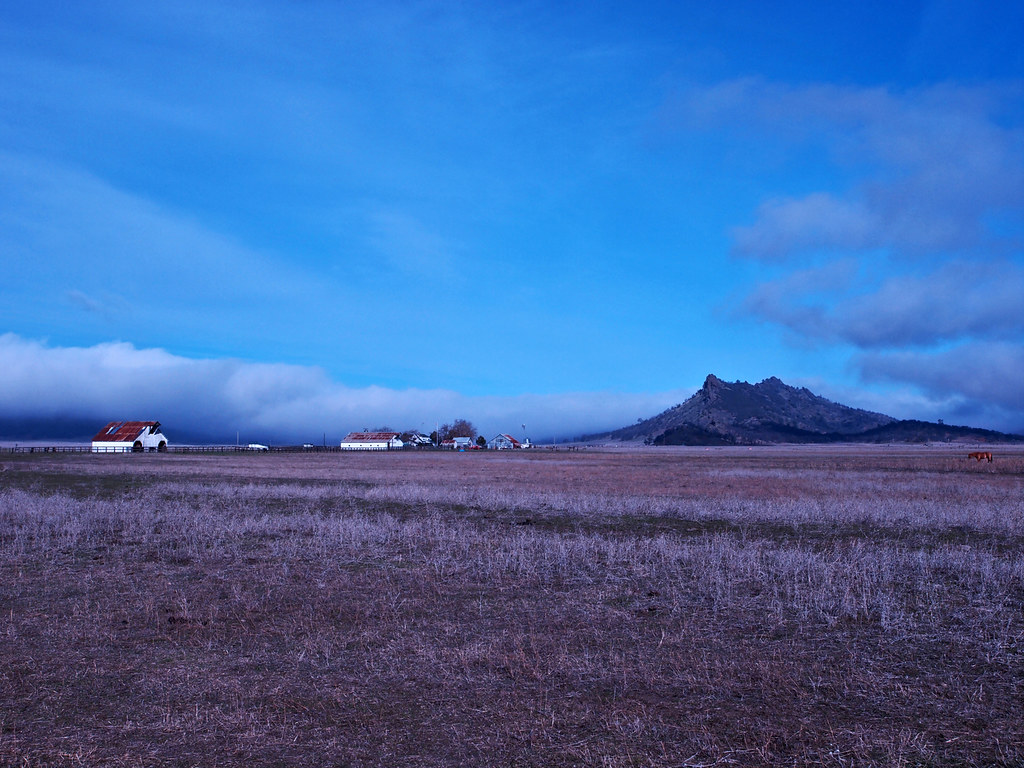
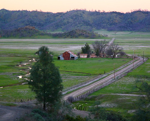
View of Bear Valley, California
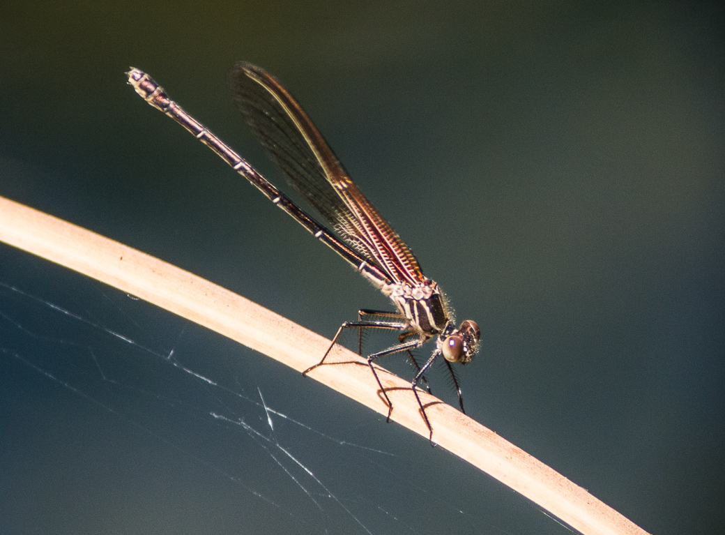
American Rubyspot - female - 0928
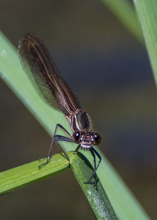
American Rubyspot - female - 0834
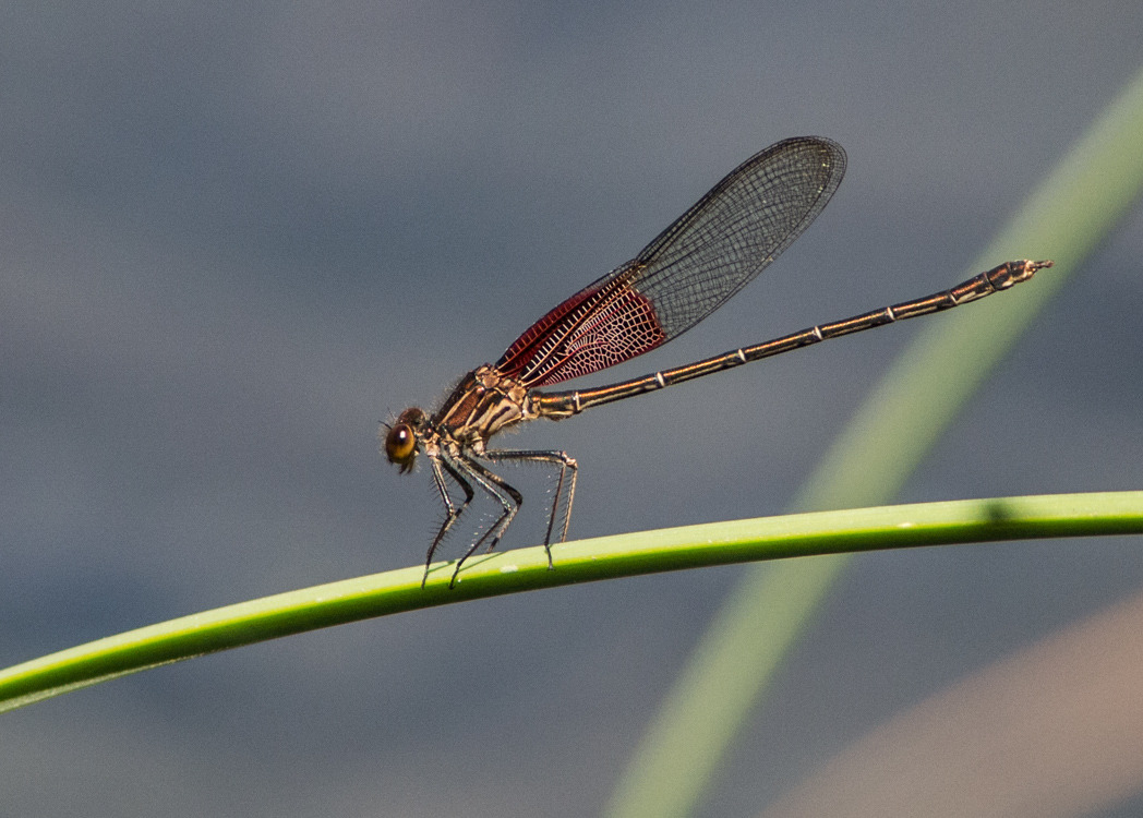
American Rubyspot - male - 0933

American Rubyspot - male - 0907
Blog this
blog this
Winter 06
Winter Break
Winter Break
Day 3 / 365 Day Pegasus & Lunabei / The Yawn

0243 SE view 21Sept

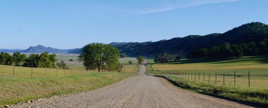
Bear Valley Rd pano

Northern Coast Ranges

_N0A2675.jpg
bear valley

Supercell Formation
In the land of Oaks

world's happiest cows
2015-03-19_06
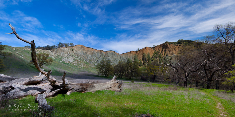
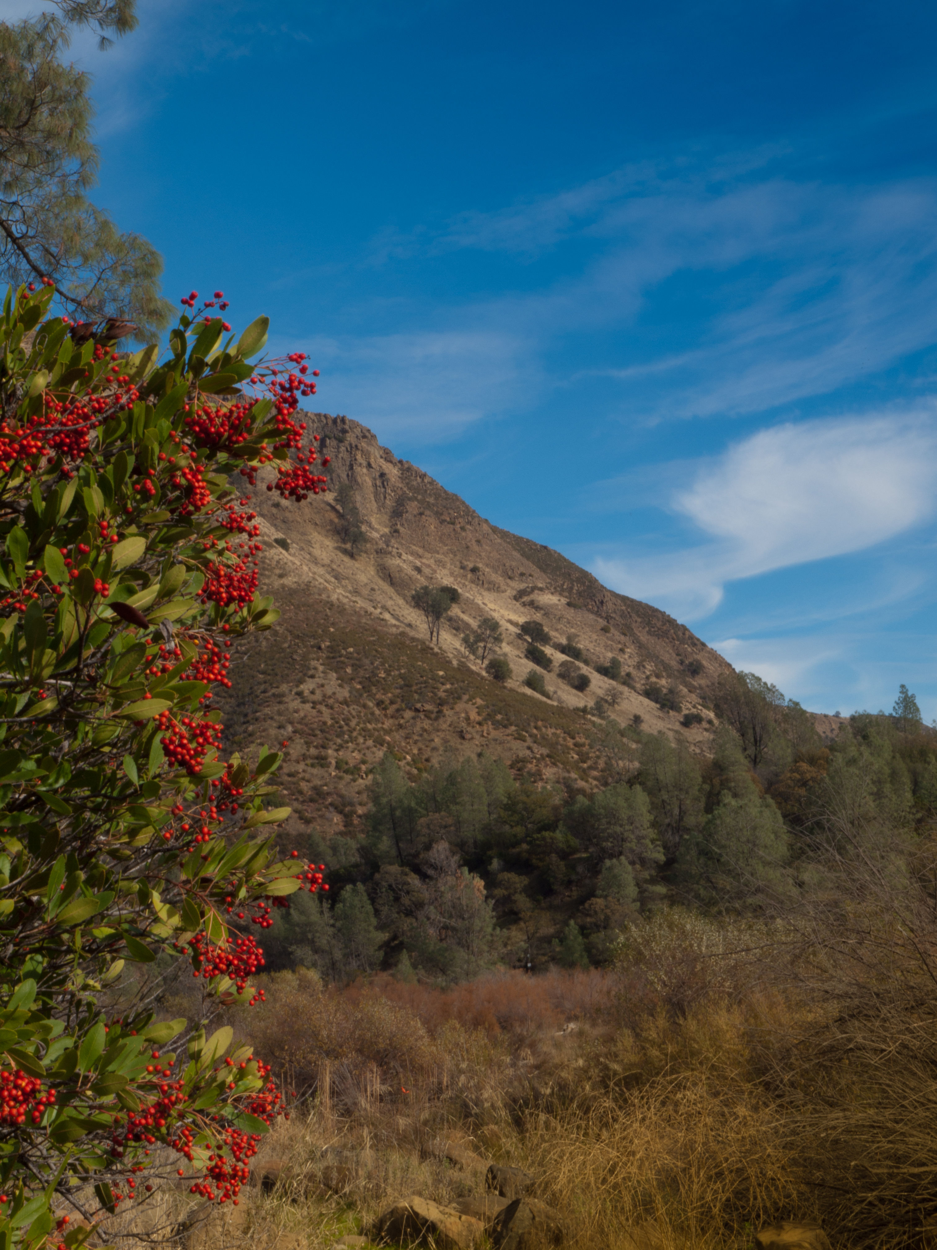
Aglow in the Cache Creek Wilderness

_9100029.NEF
2015-03-19_08
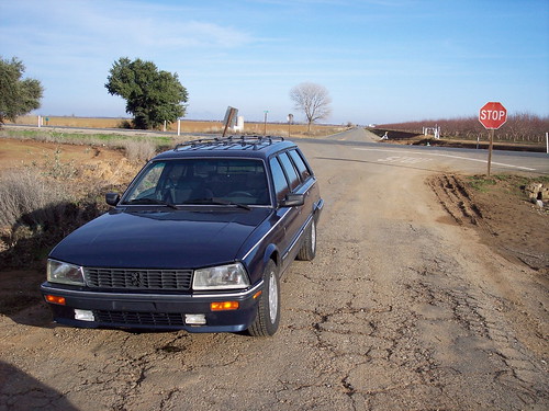
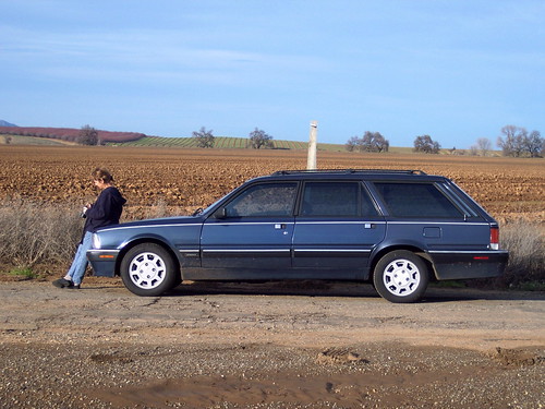
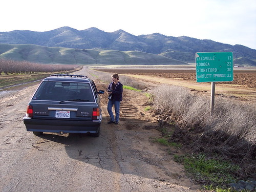
A Car Comes
20160325-DSCF6252
California landscape
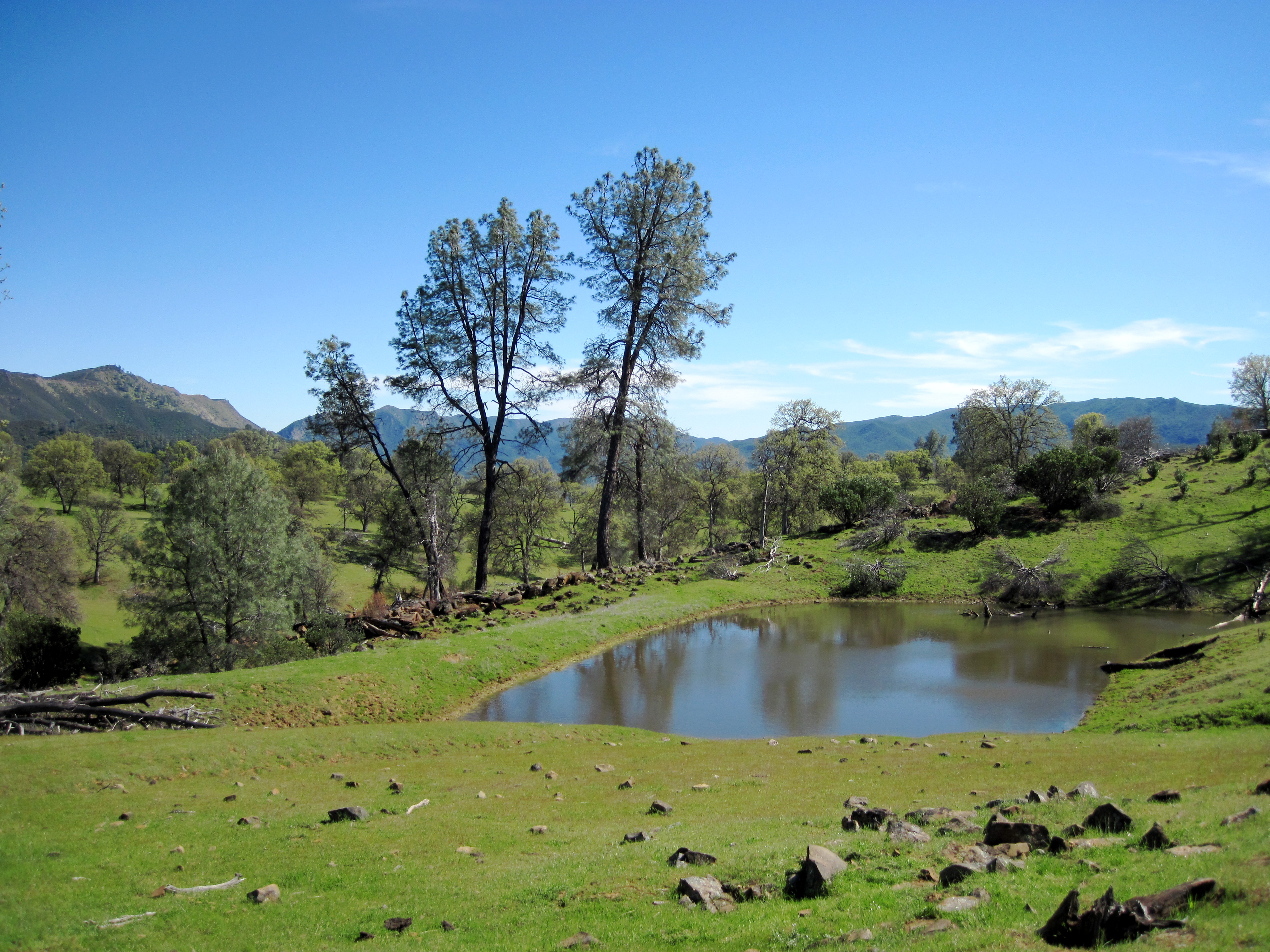
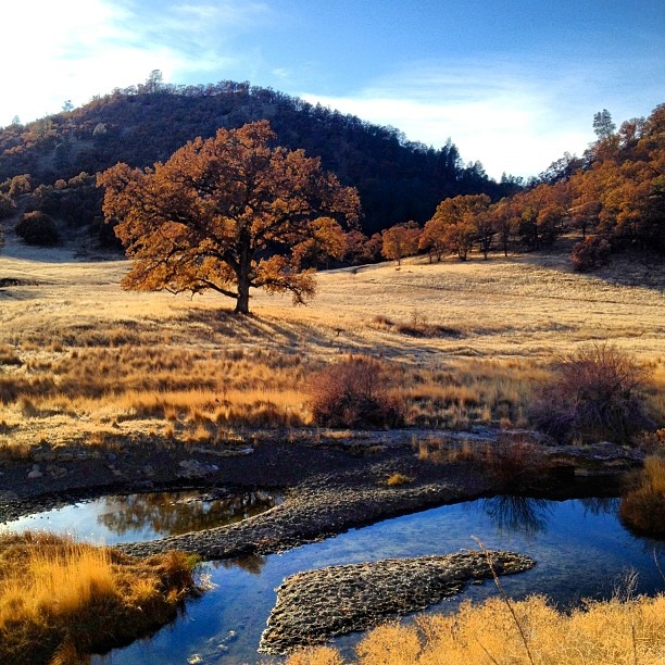
Pond near High Bridge trail
Bear Creek, Hwy 16, Colusa County, CA. 1 Dec 2013.
Topographic Map of Wilbur Springs Rd, Williams, CA, USA
Find elevation by address:

Places near Wilbur Springs Rd, Williams, CA, USA:
1000 Co Rd 221
1100 Co Rd 221
900 Co Rd 221
1200 Co Rd 221
800 Co Rd 221
1300 Co Rd 221
700 Co Rd 221
500 Co Rd 221
600 New Long Valley Rd
1400 Co Rd 221
1500 New Long Valley Rd
500 Old Long Valley Rd
700 Old Long Valley Rd
725 Old Long Valley Rd
17301 Cache Creek Rd
2487 River View Rd
3001 Hopi Trail
3478 Wolf Creek Rd
2000 New Long Valley Rd
2100 New Long Valley Rd
Recent Searches:
- Elevation of Royal Ontario Museum, Queens Park, Toronto, ON M5S 2C6, Canada
- Elevation of Groblershoop, South Africa
- Elevation of Power Generation Enterprises | Industrial Diesel Generators, Oak Ave, Canyon Country, CA, USA
- Elevation of Chesaw Rd, Oroville, WA, USA
- Elevation of N, Mt Pleasant, UT, USA
- Elevation of 6 Rue Jules Ferry, Beausoleil, France
- Elevation of Sattva Horizon, 4JC6+G9P, Vinayak Nagar, Kattigenahalli, Bengaluru, Karnataka, India
- Elevation of Great Brook Sports, Gold Star Hwy, Groton, CT, USA
- Elevation of 10 Mountain Laurels Dr, Nashua, NH, USA
- Elevation of 16 Gilboa Ln, Nashua, NH, USA