Elevation of Wijnbergen, Doetinchem, Netherlands

Location: Netherlands > Doetinchem >

Longitude: 6.2807304

Latitude: 51.9456603

Elevation: 12m / 39feet

Barometric Pressure: 101KPa

Elevation Map:

elevation map of Wijnbergen, Doetinchem, Netherlands

Satellite Map:

Satellite map of Wijnbergen, Doetinchem, Netherlands

Related Photos:

holland netherlands landscape view nederland uitzicht achterhoek landschap gelderland montferland stokkum panasonicdmcfz150 1210584
View at Stokkum - Montferland
autumn holland fall forest herbst herfst explore bos achterhoek gelderland paasberg supershot terborg abigfave goldstaraward
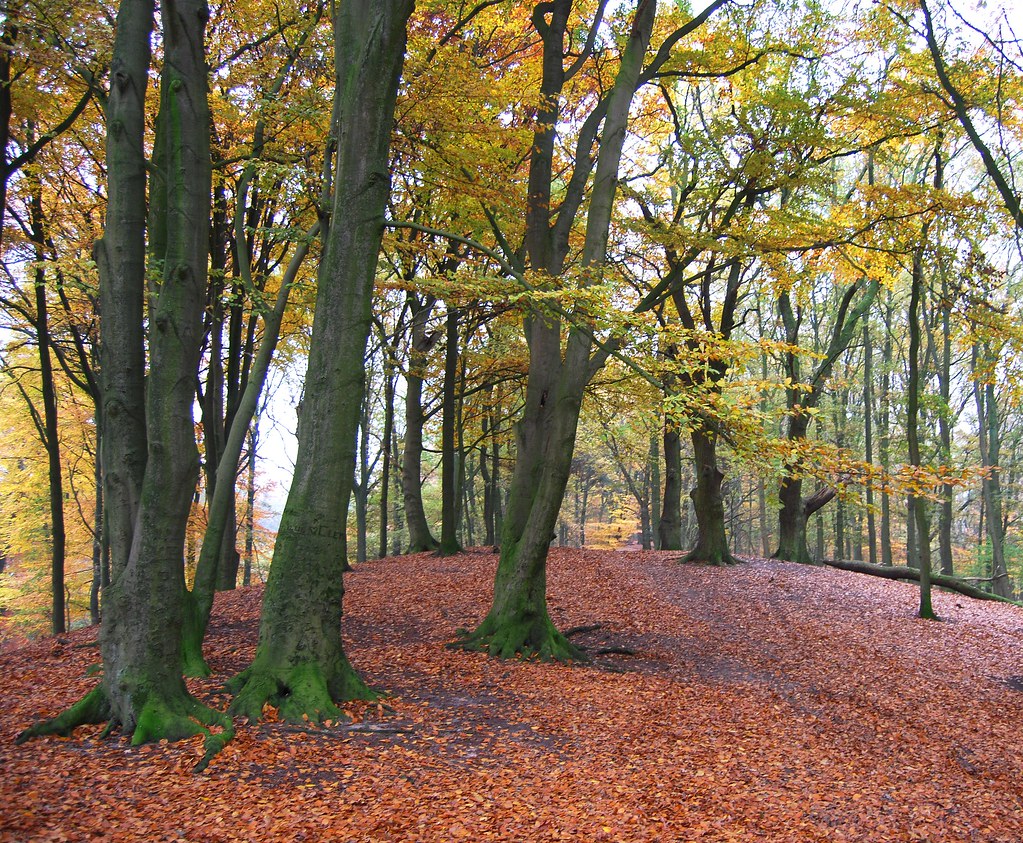
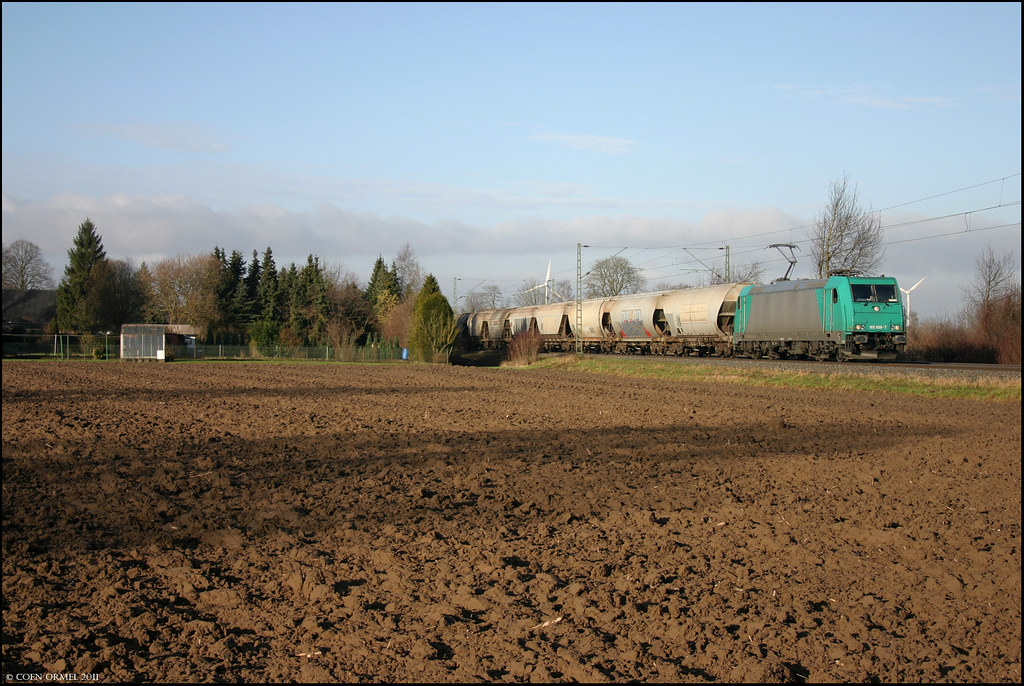
Autumn in Terborg #11
holland netherlands landscape view nederland uitzicht achterhoek landschap gelderland montferland stokkum panasonicdmcfz150 1210585
View from the bench in previous shot
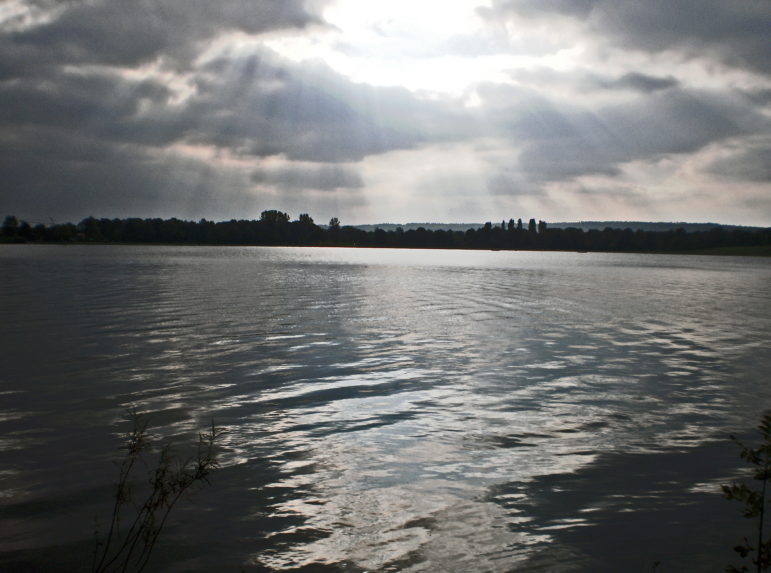
holland netherlands nederland gat achterhoek gelderland doetinchem montferland braamt stroombroek braamts
The Lake
holland castle netherlands landscape nederland achterhoek landschap kasteel gelderland huisbergh sheerenberg platinumheartaward panasonicdmcfz150 1200874
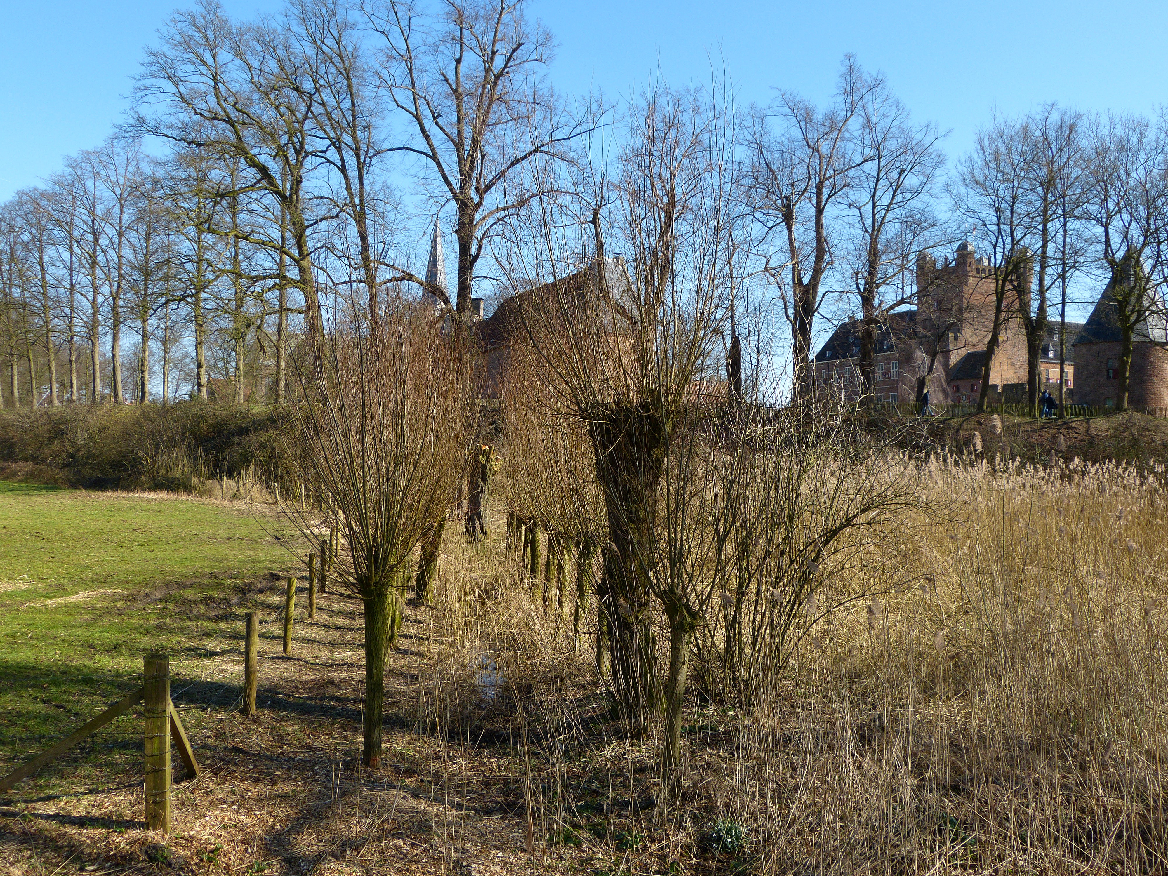
Another view at 'Huis Bergh' castle
holland netherlands landscape view nederland uitzicht avenue achterhoek landschap gelderland huisbergh 1200850 panasonicdmcfz150
View from avenue near 'Huis Bergh' castle
holland netherlands rural landscape cattle cows nederland vee achterhoek landschap koeien gelderland montferland landelijk stokkum panasonicdmcfz150 1210587
Another view from the bench
sky cloud holland netherlands clouds countryside corn nederland wolken mais achterhoek gmt gelderland platteland montferland zeddam bewolking
Zeddam #2
Blik op Hoch Elten met ICE op weg naar Amsterdam
sky cloud holland netherlands clouds countryside corn nederland wolken agriculture achterhoek gelderland platteland montferland landbouw maïs zeddam
Zeddam #1
autumn holland fall forest herbst herfst bos achterhoek gelderland paasberg terborg anawesomeshot theunforgettablepictures
Autumn in Terborg #14
Praest, 19 januari 2011
autumn holland fall forest herbst herfst bos achterhoek gelderland paasberg terborg
Autumn in Terborg #1
sunset germany nordrheinwestfalen emmerich
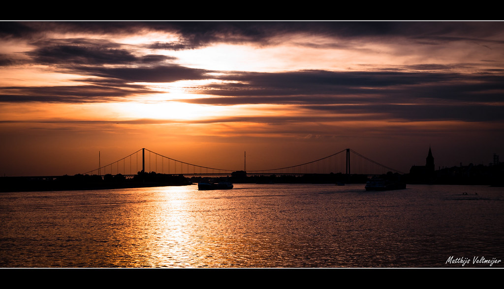
Sunset in Emmerich am Rhein, Germany
holland countryside cattle side country vee weiland achterhoek koe kalf gelderland platteland sapi wehl
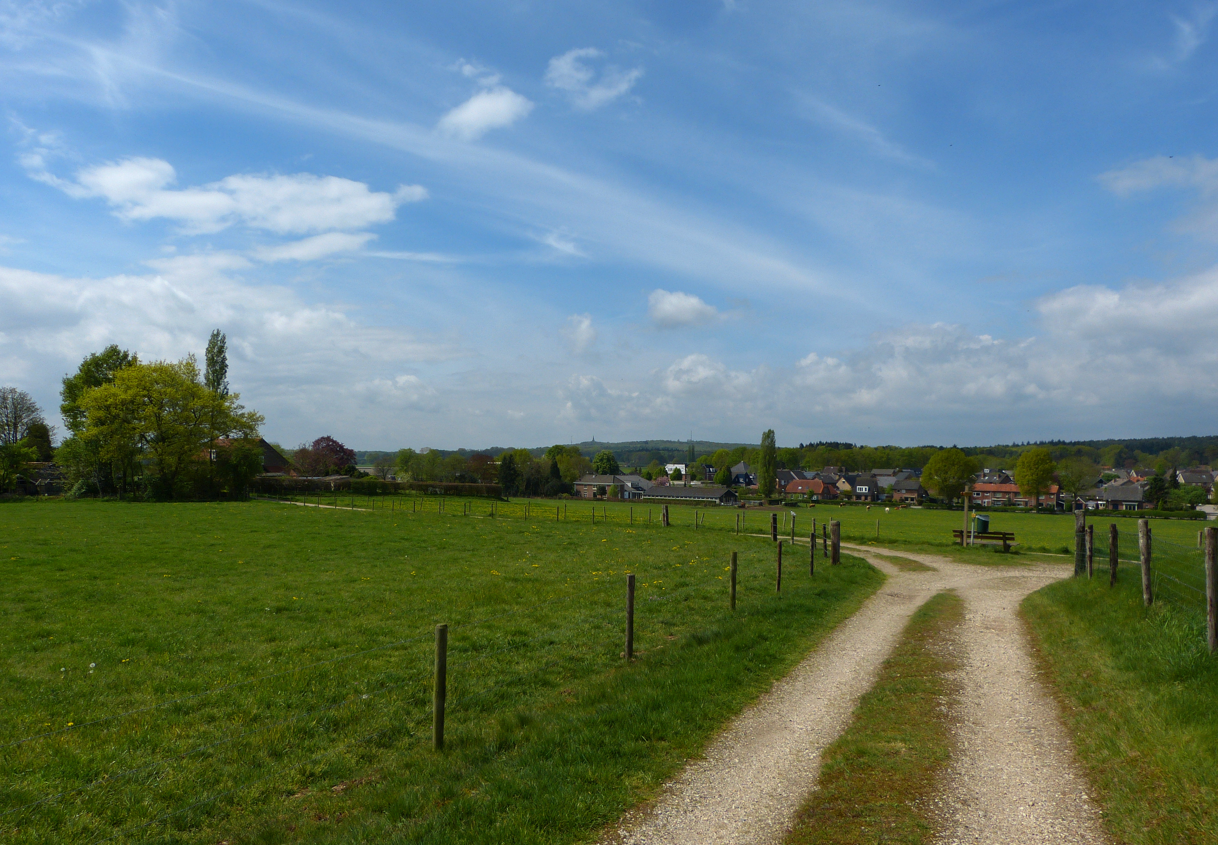
Pasture Etiquette - That's How It's Done
germany walk pieterpad nordrheinwestfalen wandeling elten kleve rietbroek gpsroute
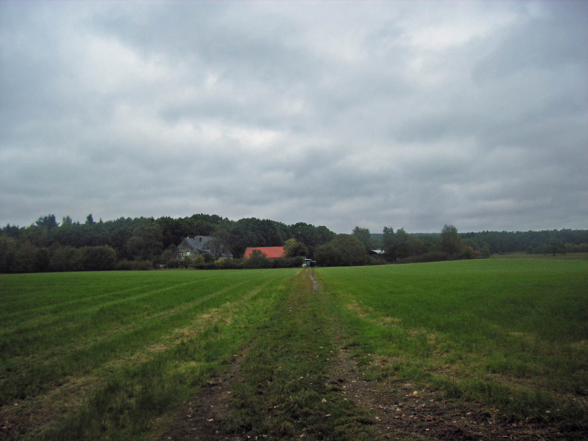
View at Rietbroek, Elten
walk pieterpad nordrheinwestfalen wandeling elten kleve emmerich rietbroek gpsroute
View east from Rietbroek, Elten
autumn light holland forest licht path herfst pad bos wald achterhoek gelderland paasberg terborg paasberglaan
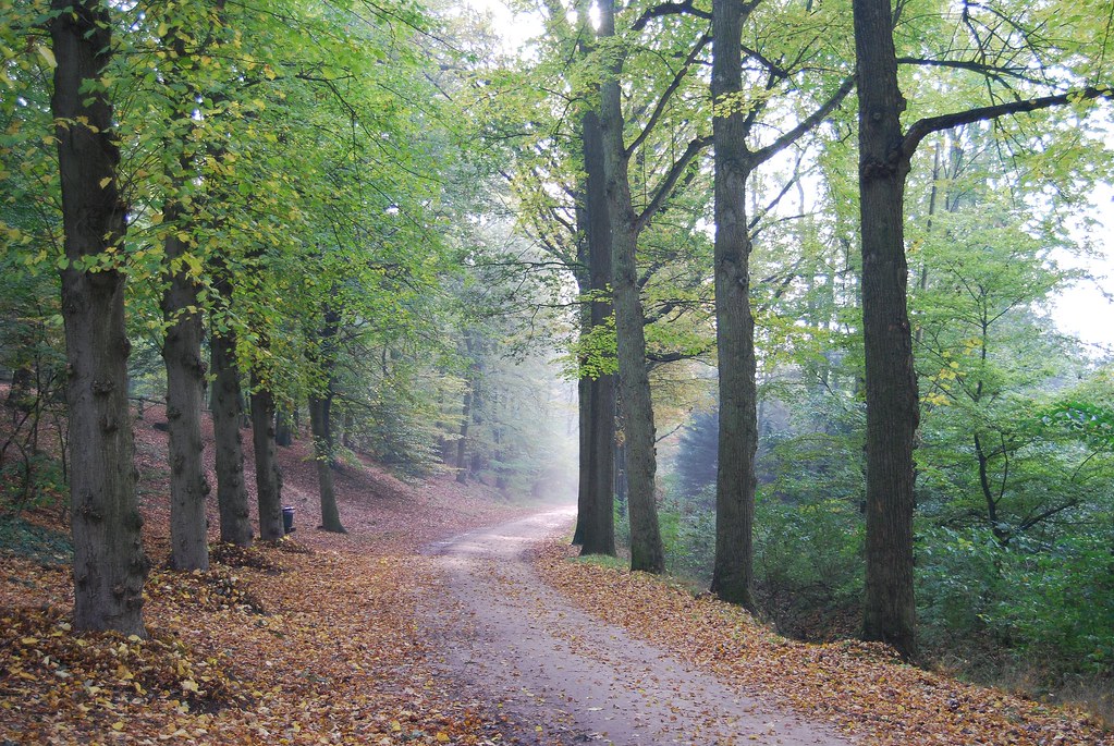
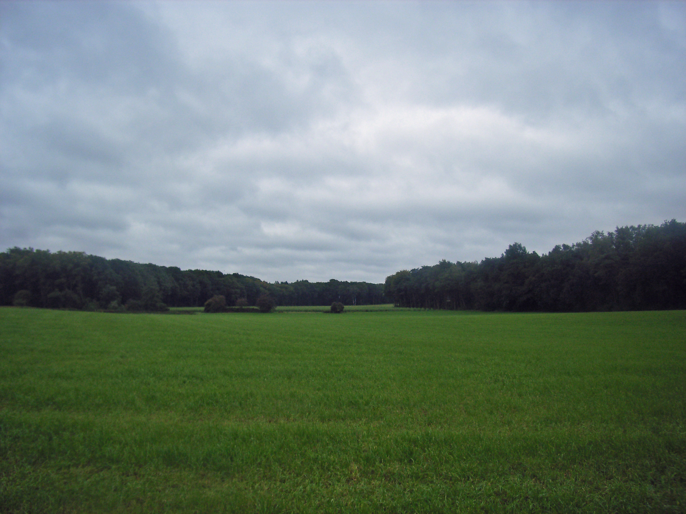
My Favorite Forest #1
sunset holland church netherlands clouds landscape zonsondergang village nederland townscape dieren kerk doesburg ijssel veluwezoom landschap uiterwaarden gelderland dorpsgezicht stuwwal floodplains beschermd wolkenlucht riverforelands olburgen gemeenterheden protectedtownscape
View on Dieren
mist holland netherlands fog rural landscape countryside weide nederland achterhoek landschap gelderland lange platteland montferland zeddam vethuizen langeweide
Silence #2
travel sun holiday holland nature water netherlands dutch bike bicycle river flow boot cycling boat vakantie europe with view you sony go nederland cybershot tourists cycle views waterskiing fietsen ijssel waterski watersport gelderland rivier webshots varen fietsvakantie waterskiën olburgen hx9v
Gelderse IJssel, Olburgen, Netherlands - 0815