Elevation of Wickliffe Rd, Kevil, KY, USA
Location: United States > Kentucky > Ballard County > Kevil >
Longitude: -88.855727
Latitude: 37.0051751
Elevation: 148m / 486feet
Barometric Pressure: 100KPa
Elevation Map:
Satellite Map:
Related Photos:
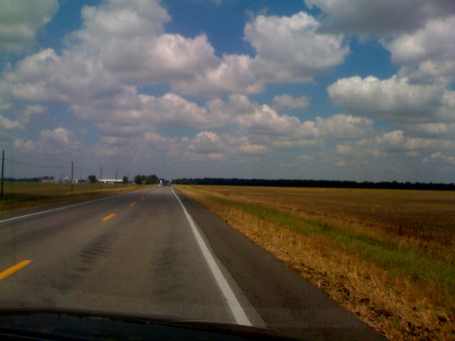
I ain't seen the sunshine since I don't know when
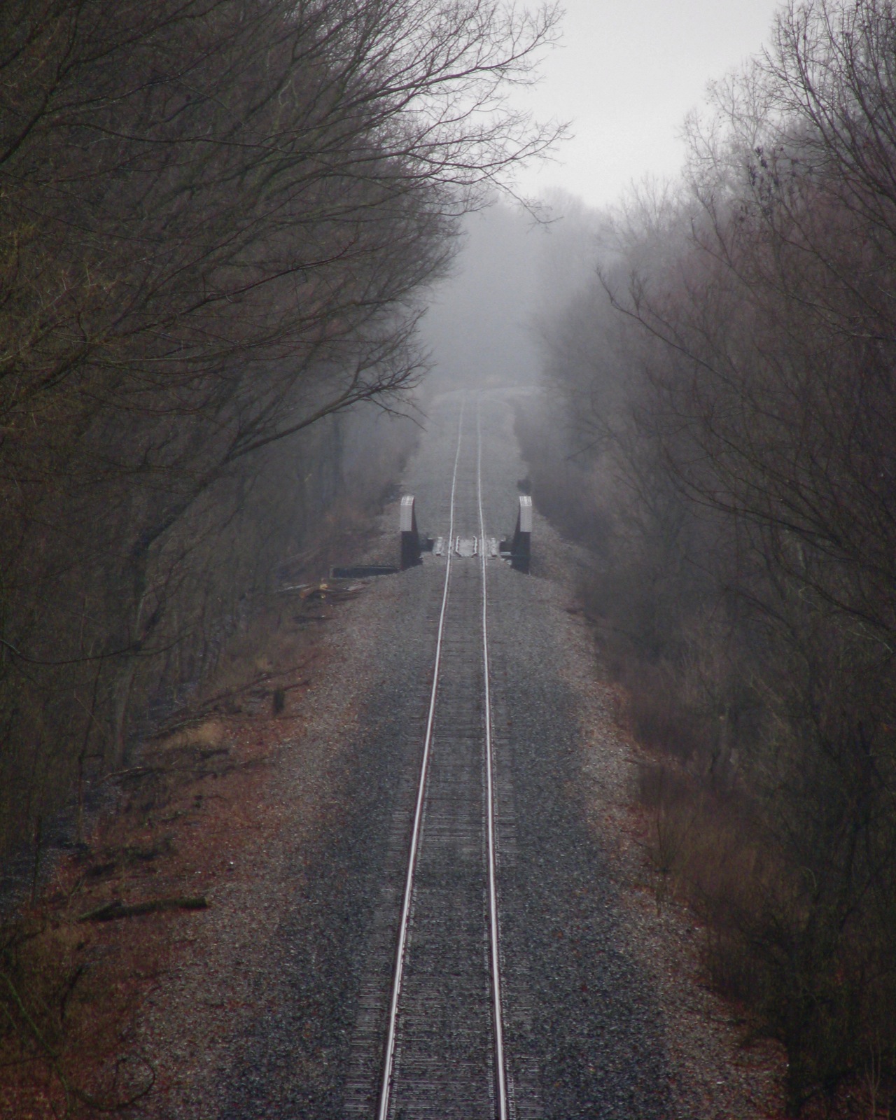
Scenic view
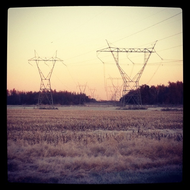
Frosty Morning
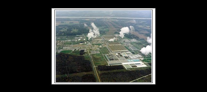
Paducah Gaseous Diffusion Plant - Paducah, KY
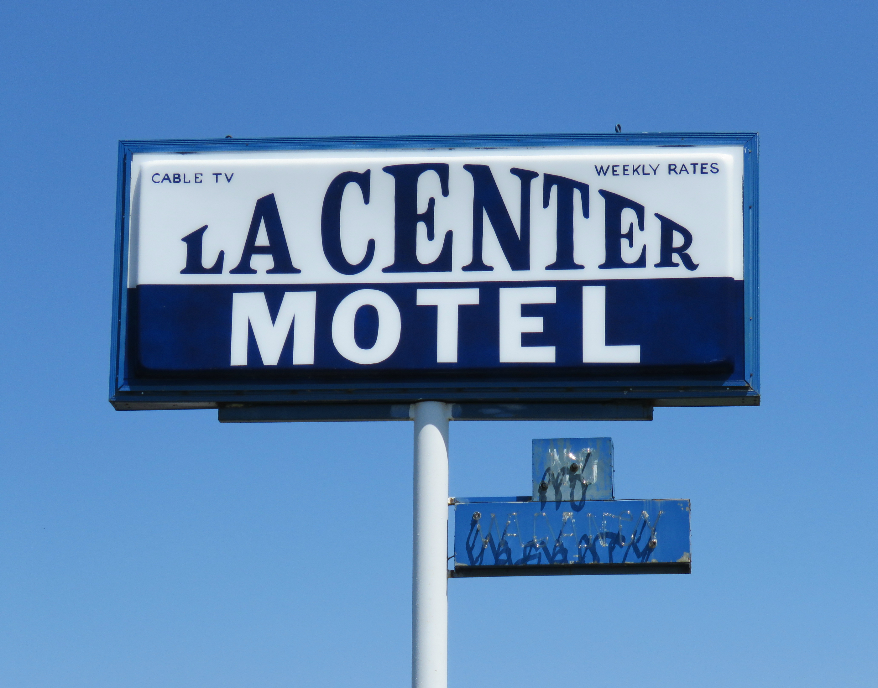
La Center Motel
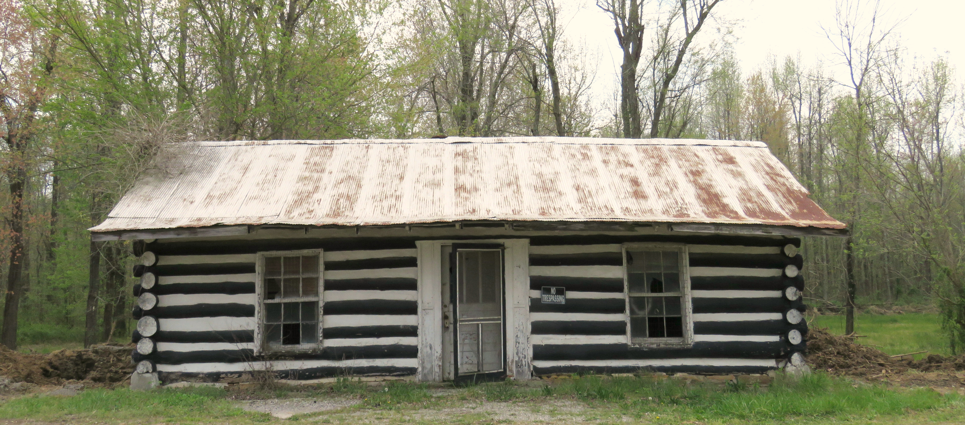
Log Cabin with painted chinking
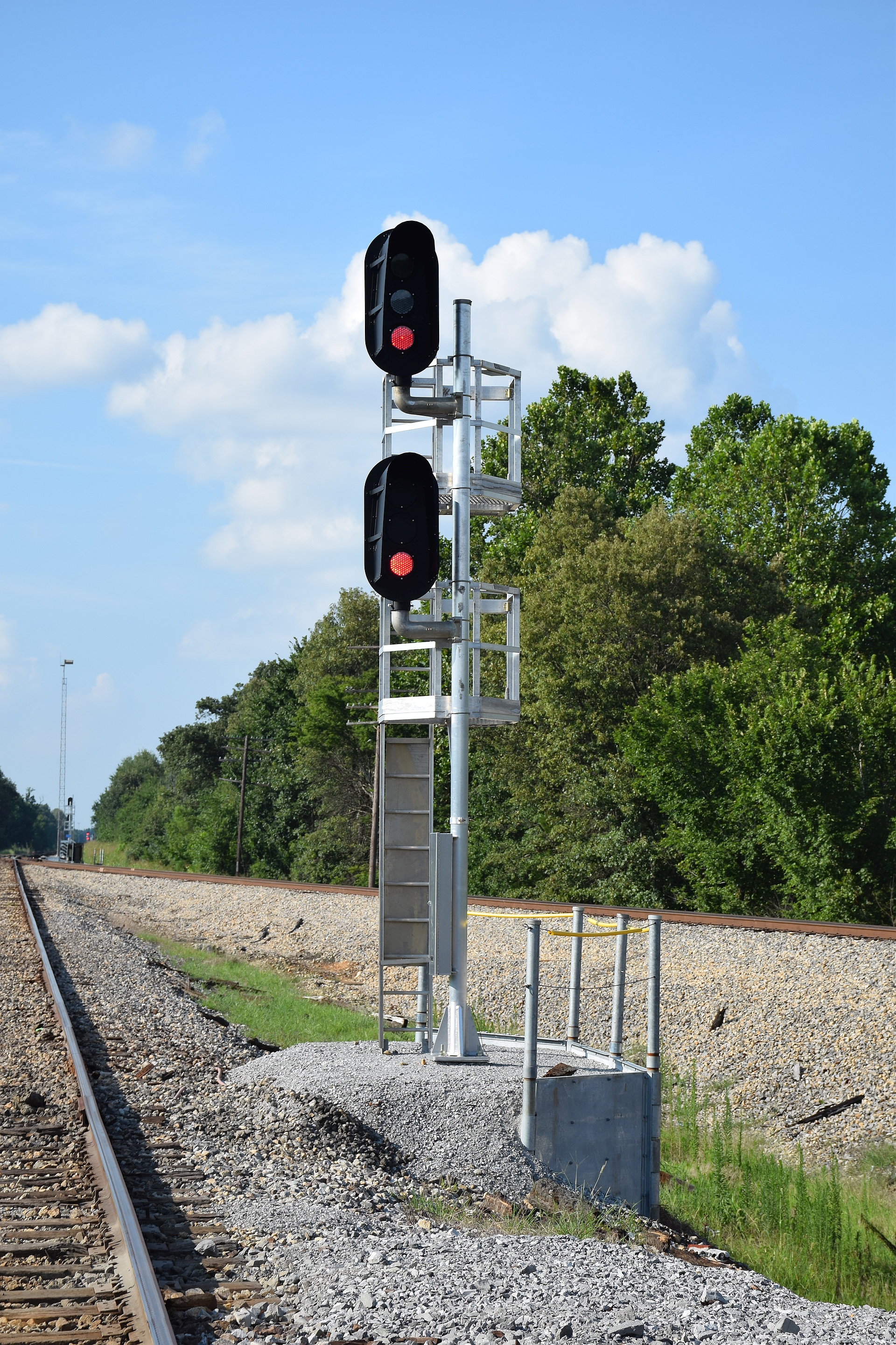
Chiles Junction
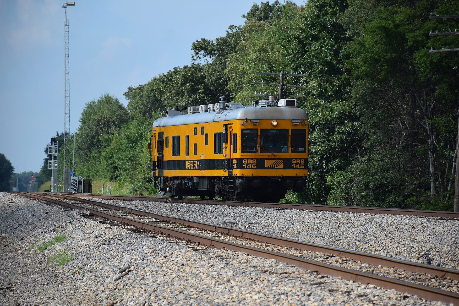
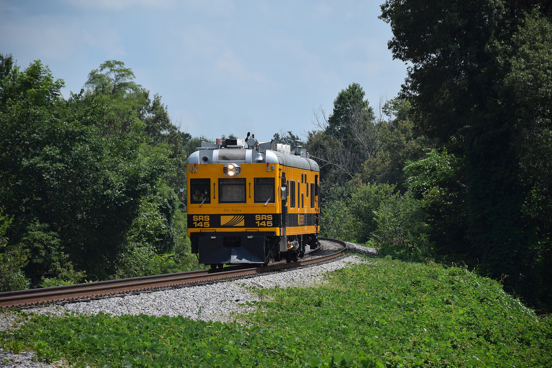
SRS 145

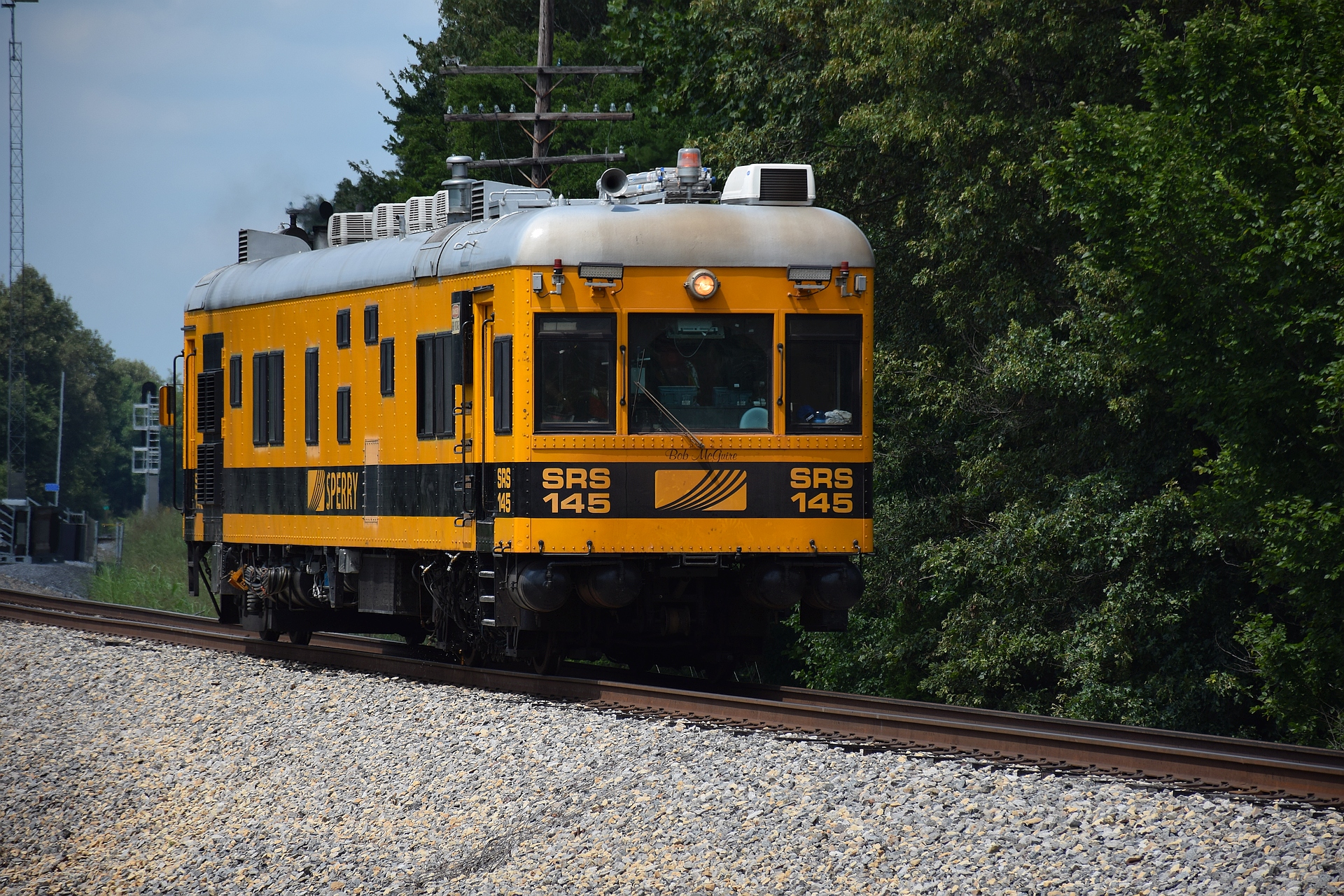
SRS 145
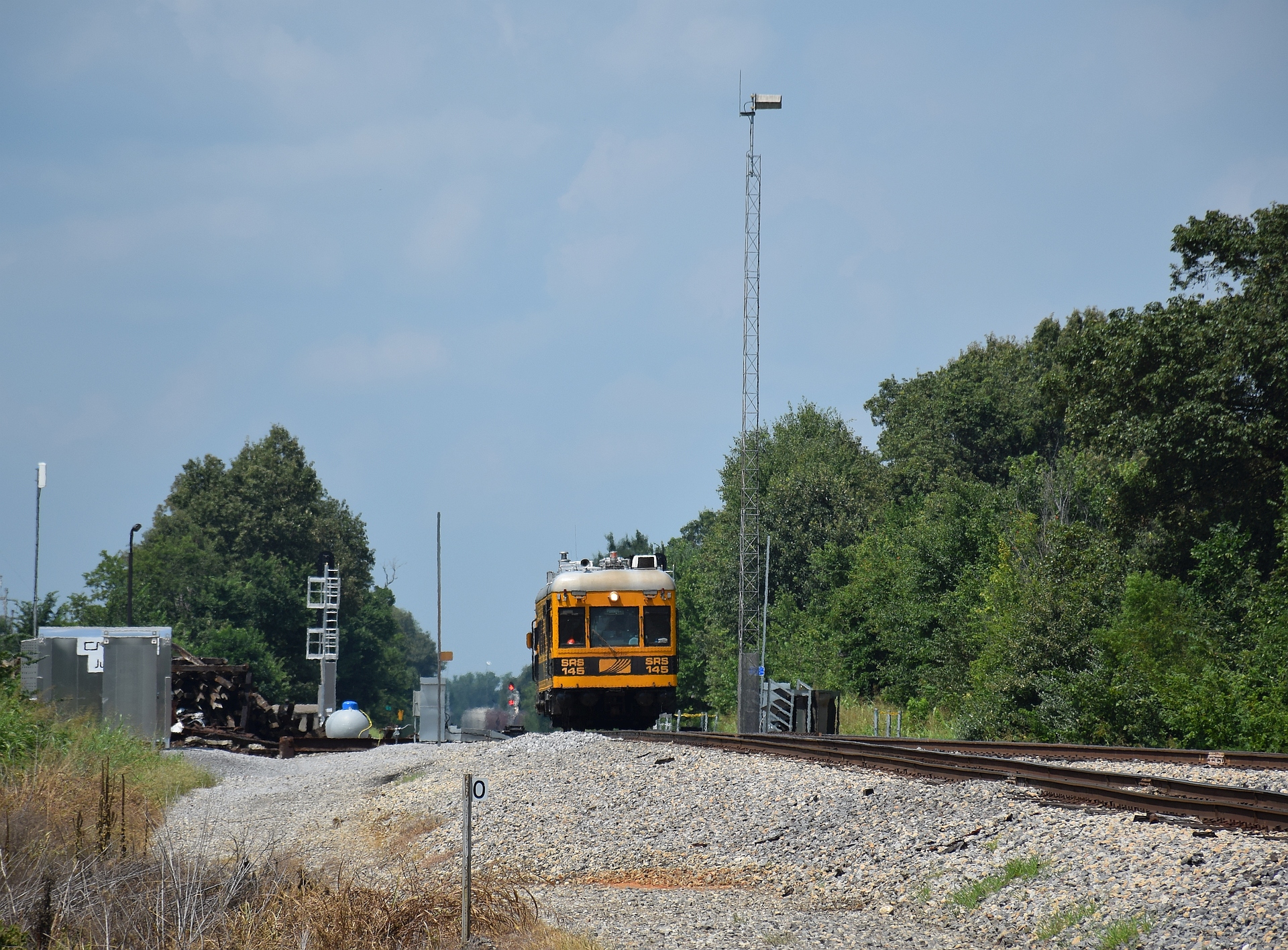
SRS 145
SRS 145
SRS 145
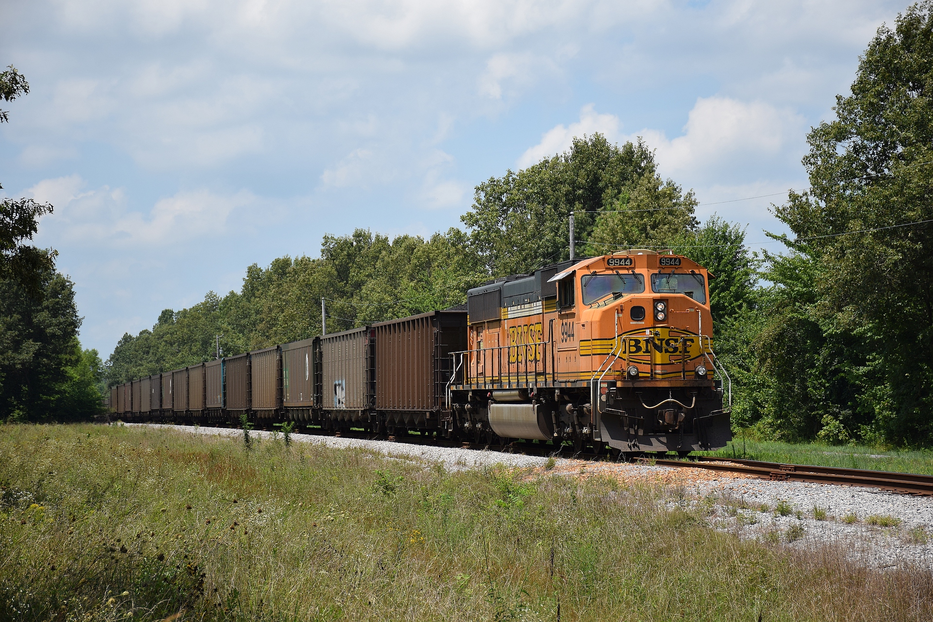
BNSF 9944 DPU
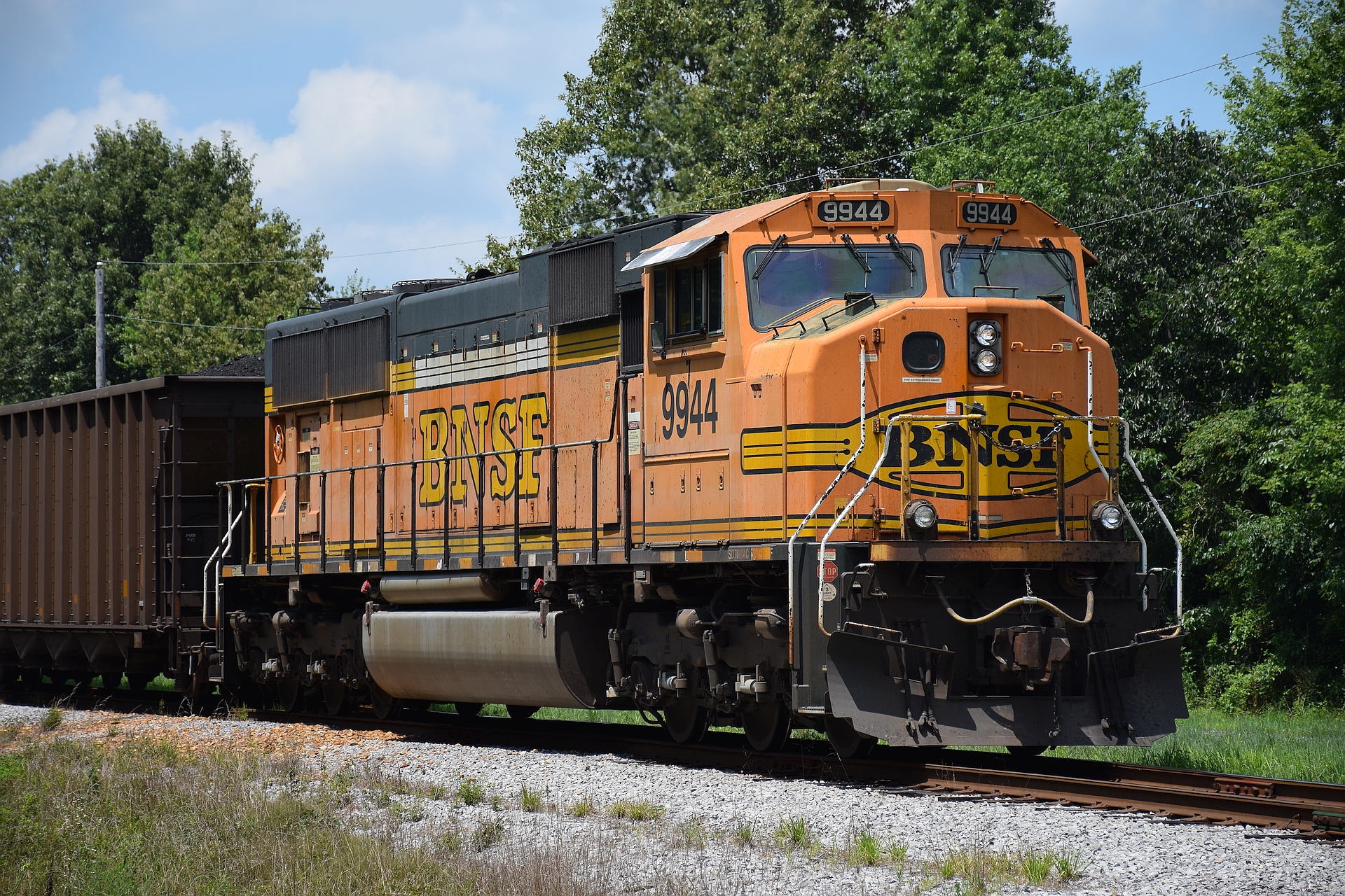
BNSF 9944 DPU
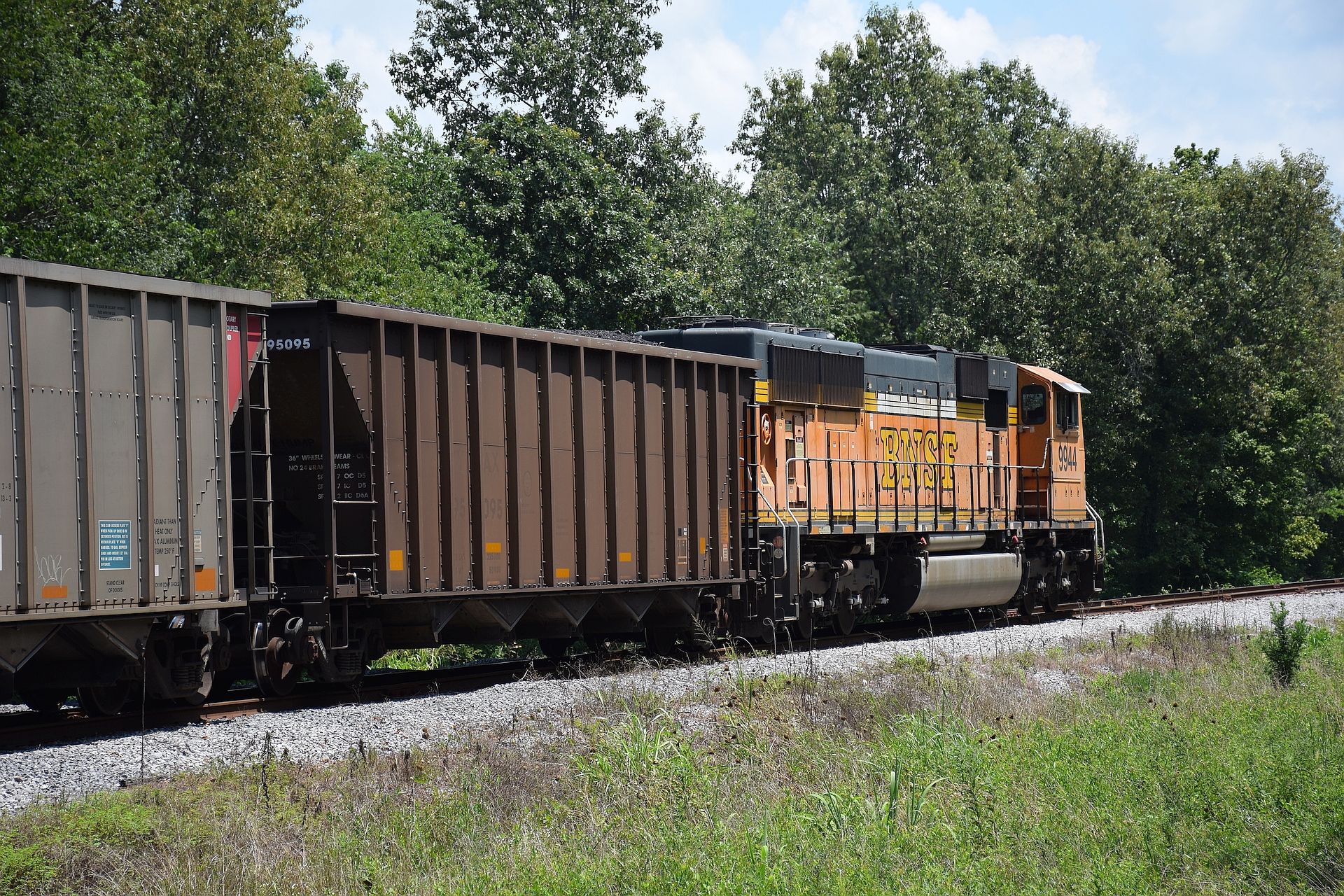
BNSF 9944 DPU
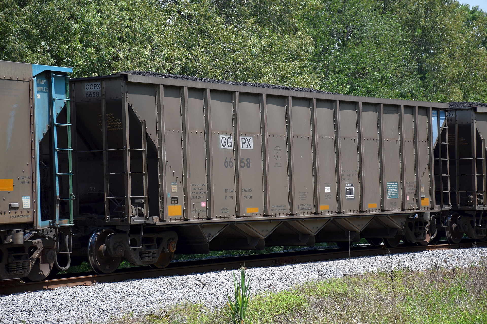
GGPX 6658
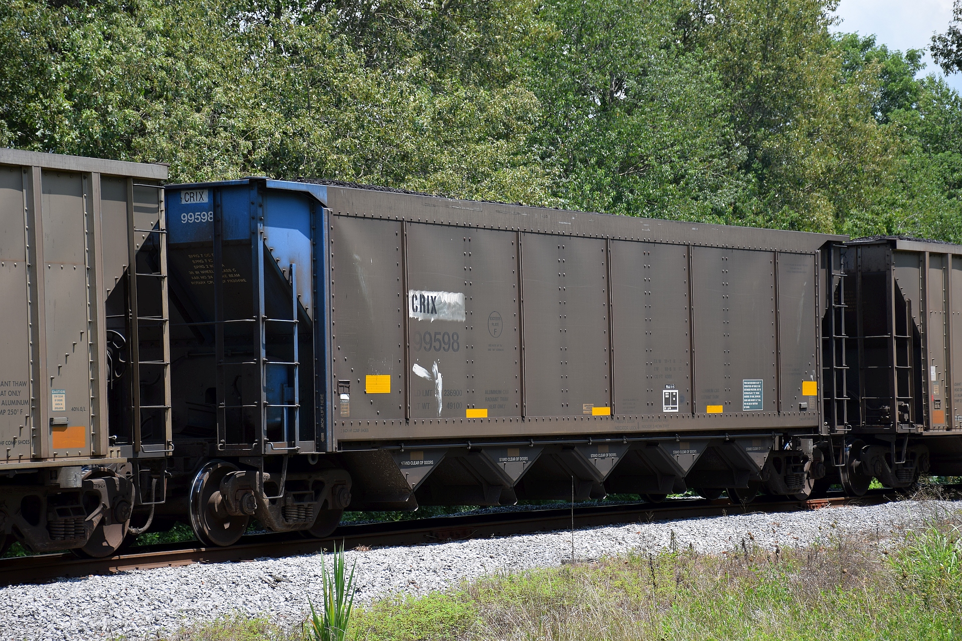
CRIX 99598
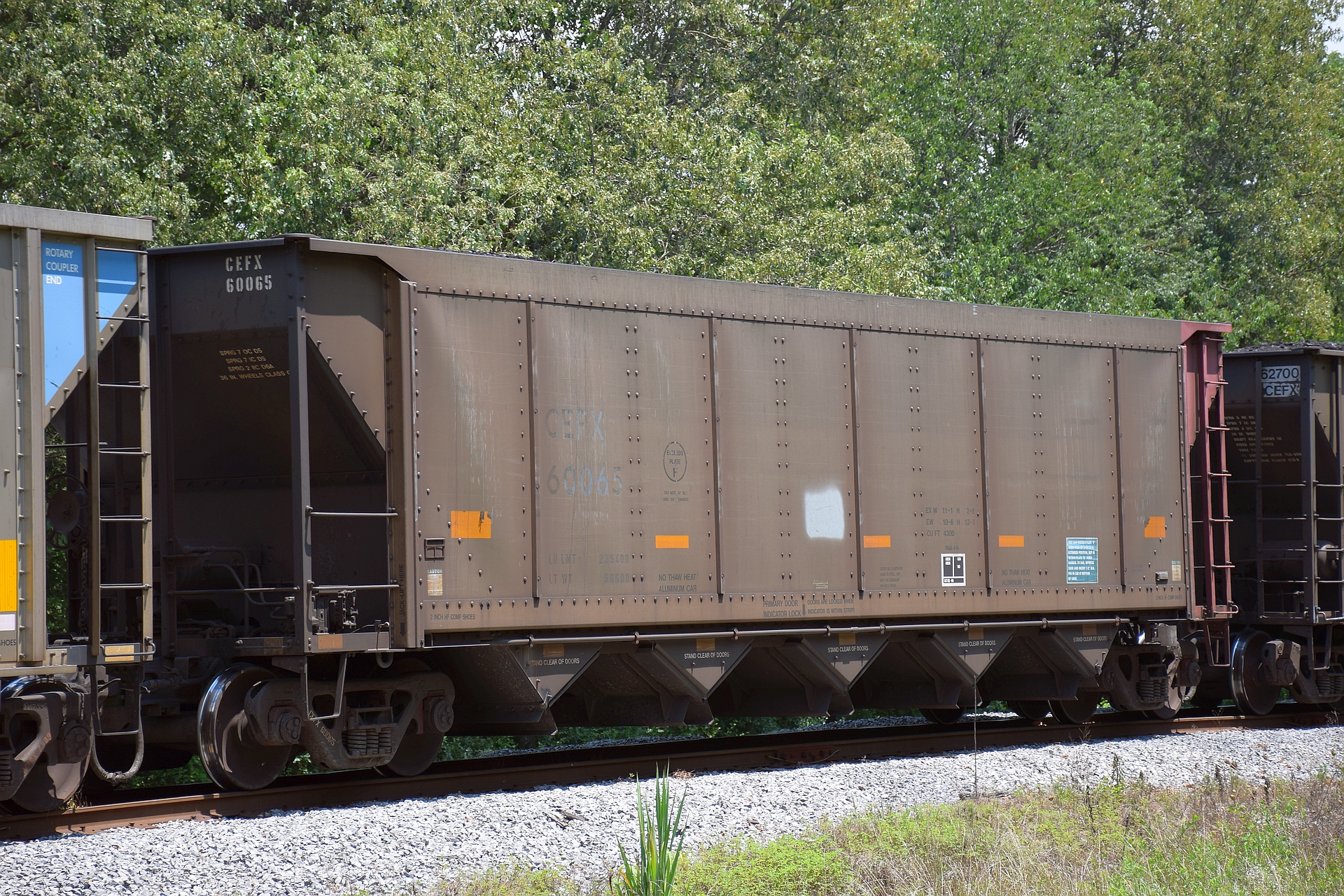
CEFX 60065

MQRX 50172
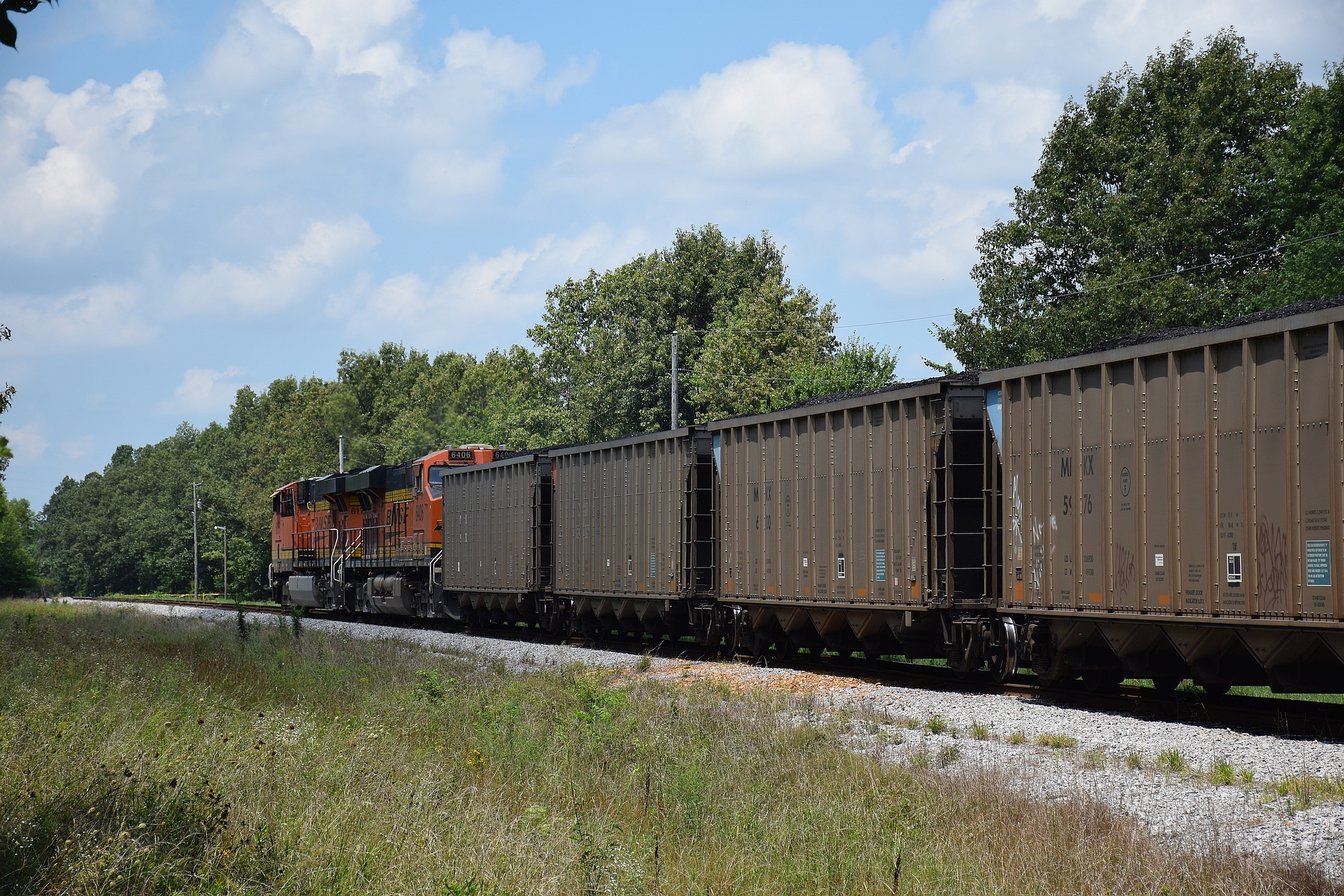
BNSF 6175
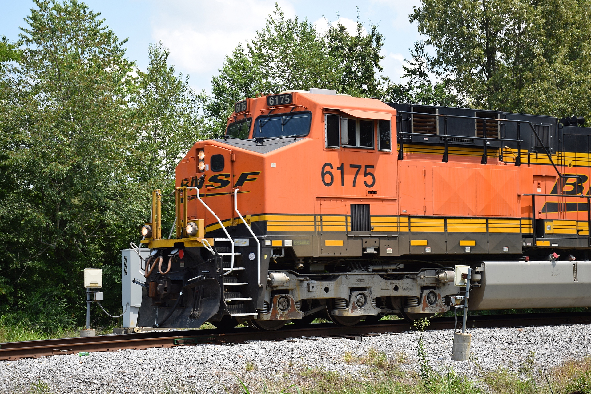
BNSF 6175
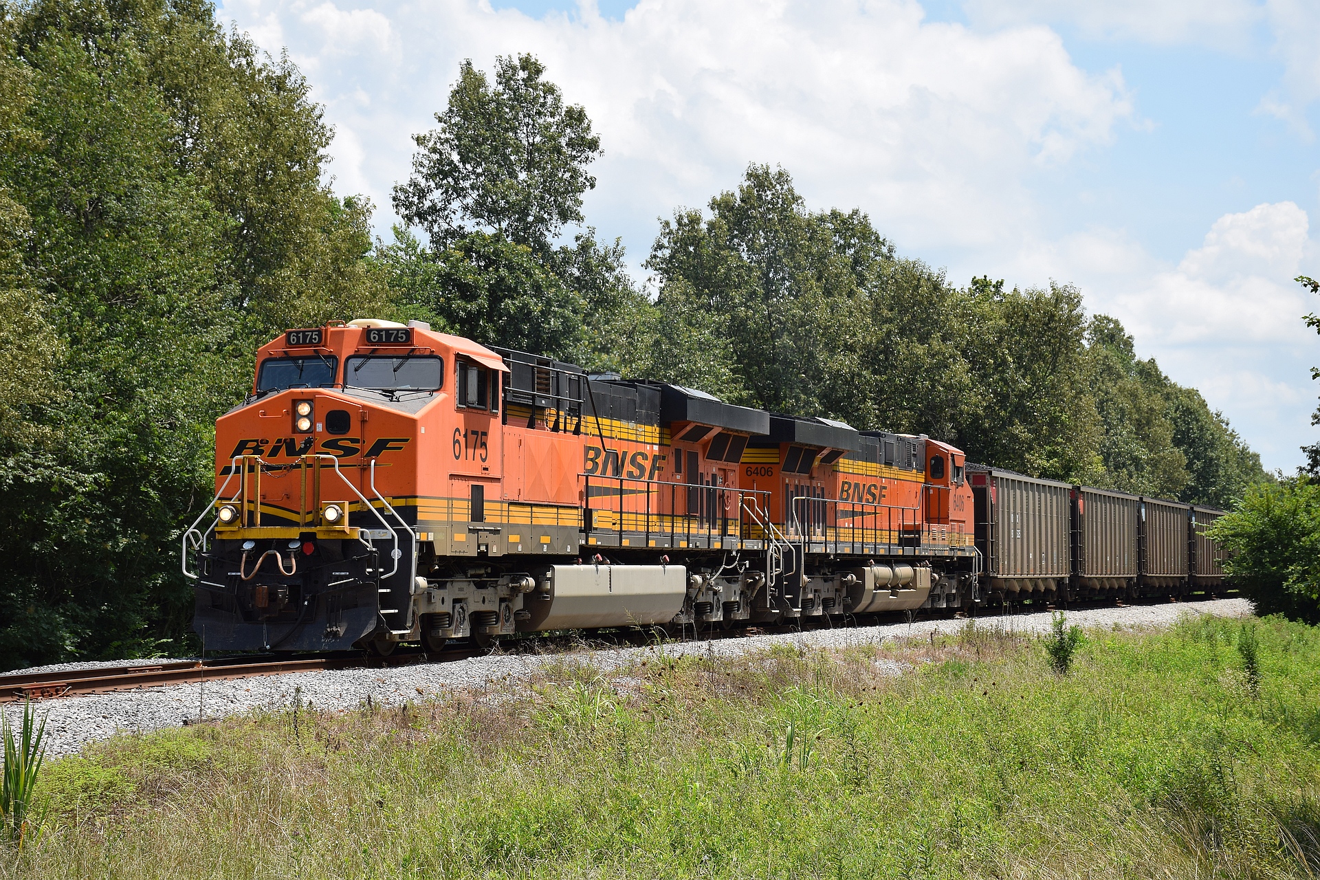
BNSF 6175
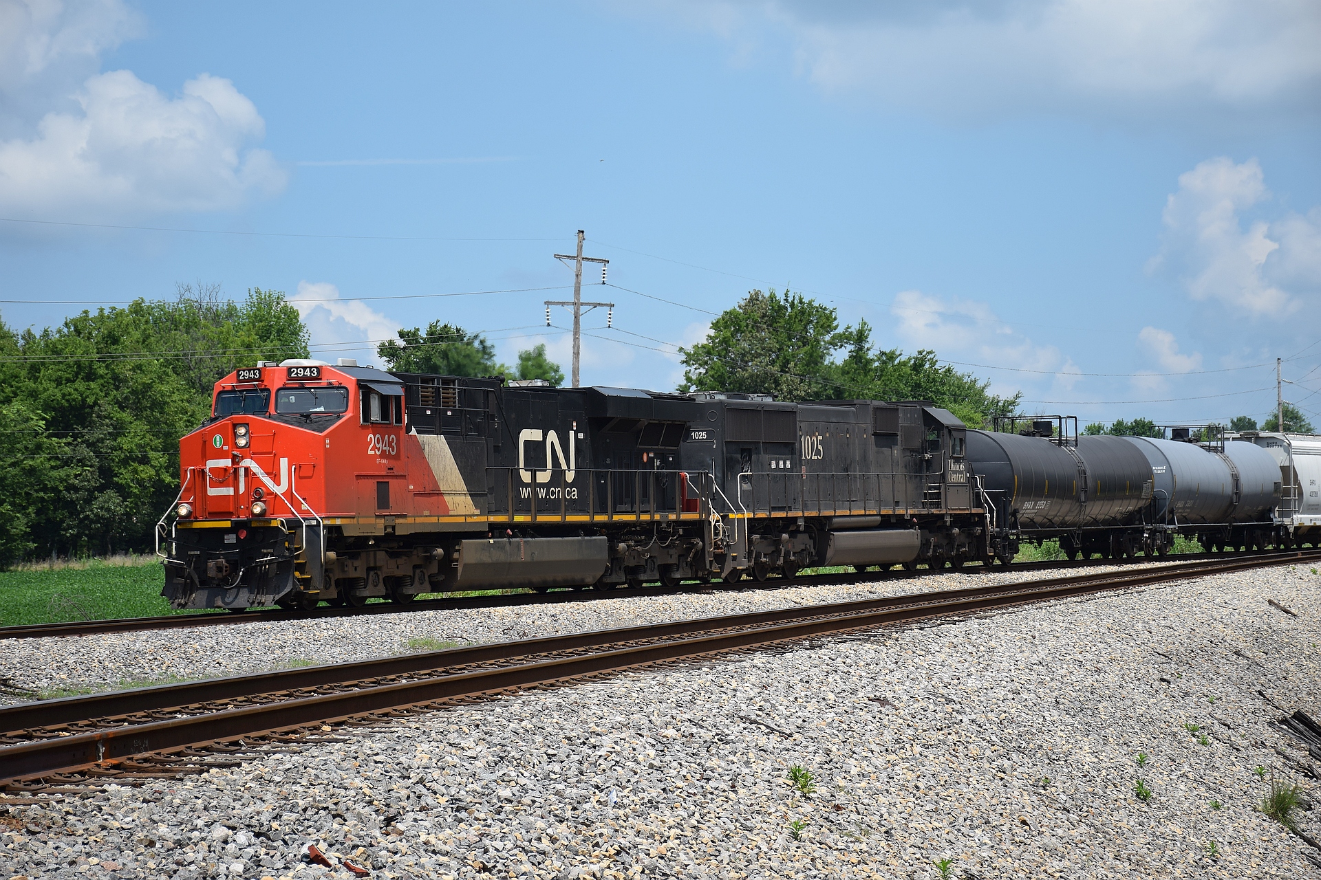
CN 2943 South
Topographic Map of Wickliffe Rd, Kevil, KY, USA
Find elevation by address:

Places near Wickliffe Rd, Kevil, KY, USA:
Phelps Rd, Kevil, KY, USA
Wickliffe Rd, La Center, KY, USA
Blandville Rd, Kevil, KY, USA
530 Gholson Rd
Old Hinkleville Rd, Kevil, KY, USA
7396 Gage Rd
Kevil
Hinkleville Rd, La Center, KY, USA
5600 Hobbs Rd
Hobbs Road
Woodville Rd, West Paducah, KY, USA
West Paducah
Mccracken County
4825 Jeffery Ln
301 Troon Rd
Colony Drive Apartments
1845 Deerhaven Ln
5220 Contest Rd
Ascot Downs
234 Quail Run Dr
Recent Searches:
- Elevation of Woolwine, VA, USA
- Elevation of Lumagwas Diversified Farmers Multi-Purpose Cooperative, Lumagwas, Adtuyon, RV32+MH7, Pangantucan, Bukidnon, Philippines
- Elevation of Homestead Ridge, New Braunfels, TX, USA
- Elevation of Orchard Road, Orchard Rd, Marlborough, NY, USA
- Elevation of 12 Hutchinson Woods Dr, Fletcher, NC, USA
- Elevation of Holloway Ave, San Francisco, CA, USA
- Elevation of Norfolk, NY, USA
- Elevation of - San Marcos Pass Rd, Santa Barbara, CA, USA
- Elevation of th Pl SE, Issaquah, WA, USA
- Elevation of 82- D Rd, Captain Cook, HI, USA