Elevation of Whitley County, KY, USA
Location: United States > Kentucky >
Longitude: -84.185711
Latitude: 36.726335
Elevation: 326m / 1070feet
Barometric Pressure: 97KPa
Elevation Map:
Satellite Map:
Related Photos:
Wal-Mart with a view

dupont lodge

Pleasant View Elementary School

Pleasant View Elementary School

Pleasant View Elementary School

Side View.
Looking over the Blue Bridge
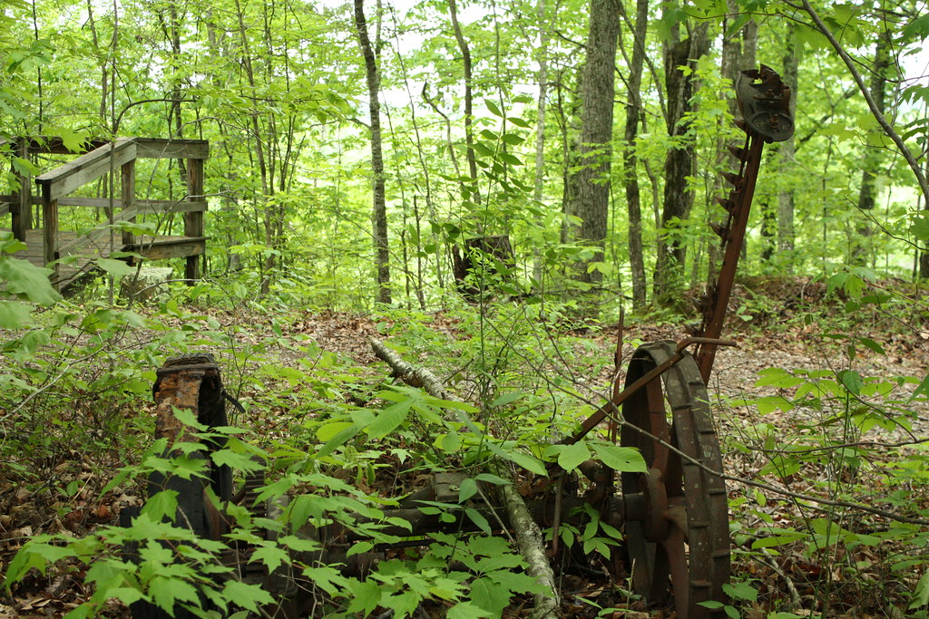
Tractor Piece
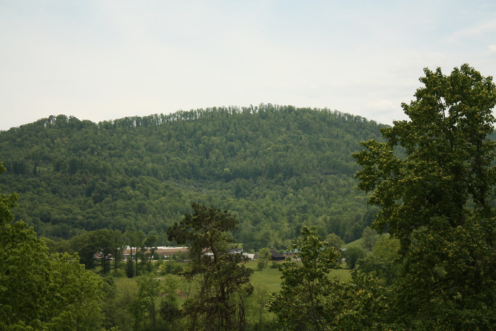
Storm Rolling in
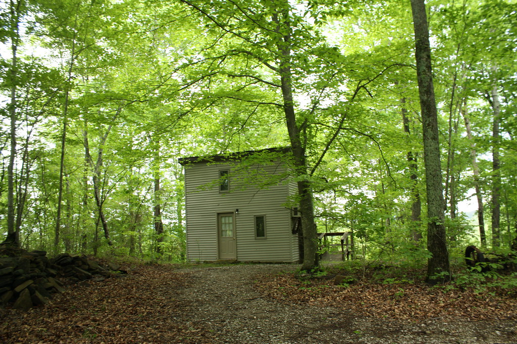
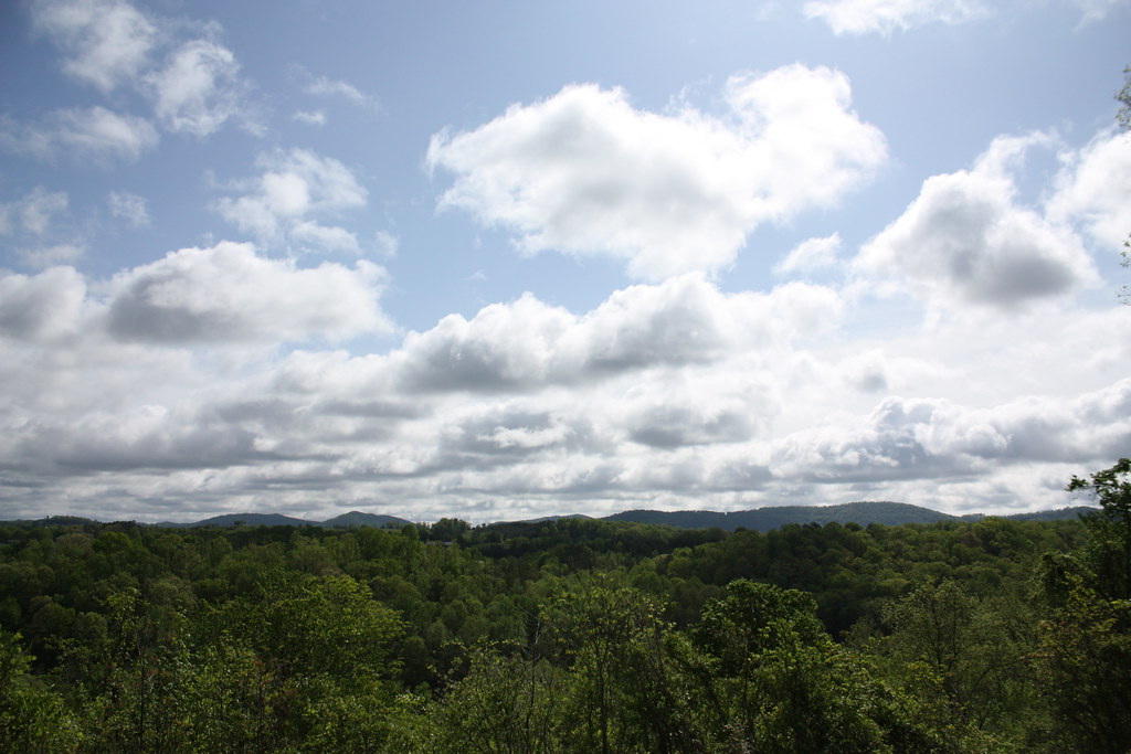
Woodsy Retreat
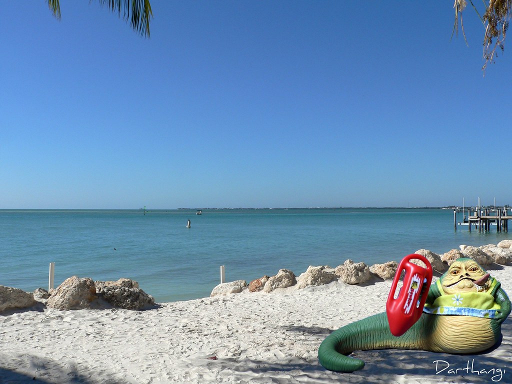
baywatch jabba

Coal mining

Keleigh and Brian's Wedding

Keleigh and Brian's Wedding
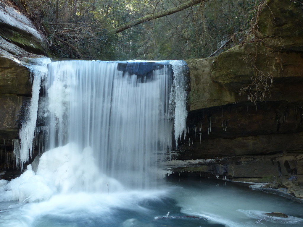
Dog Slaughter Falls
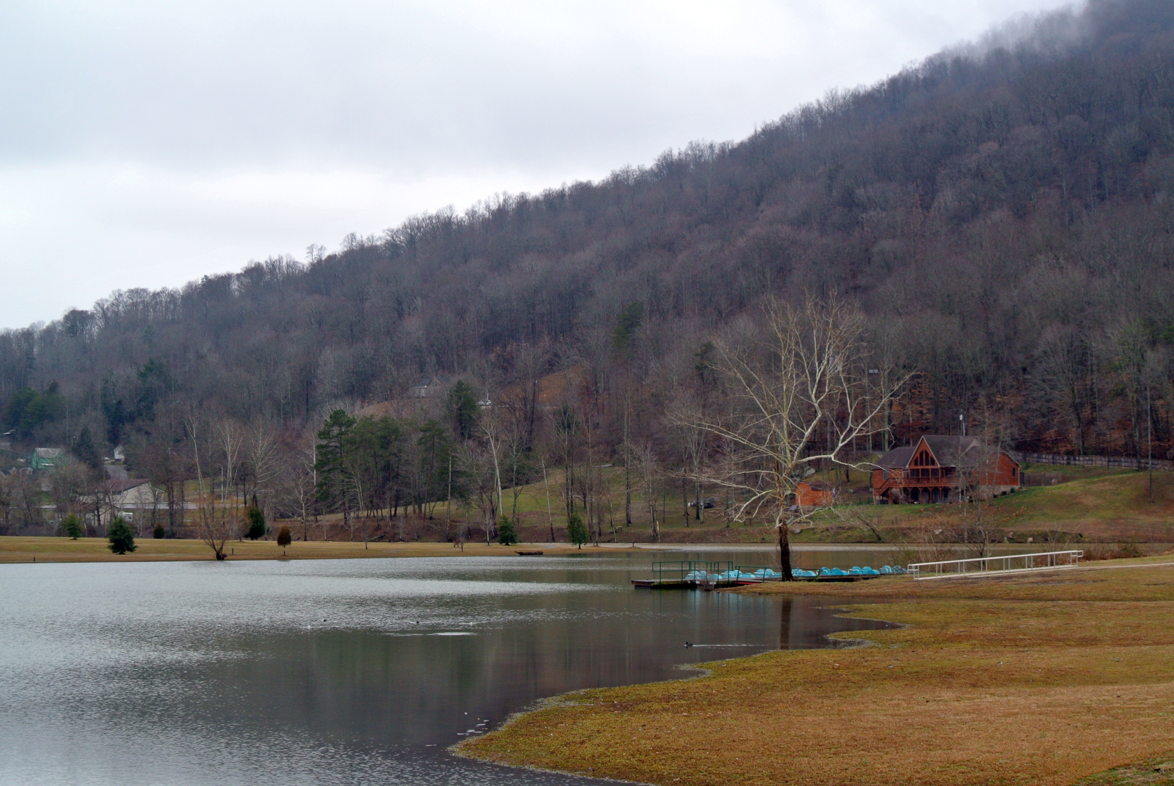
Indian Mountain State Park

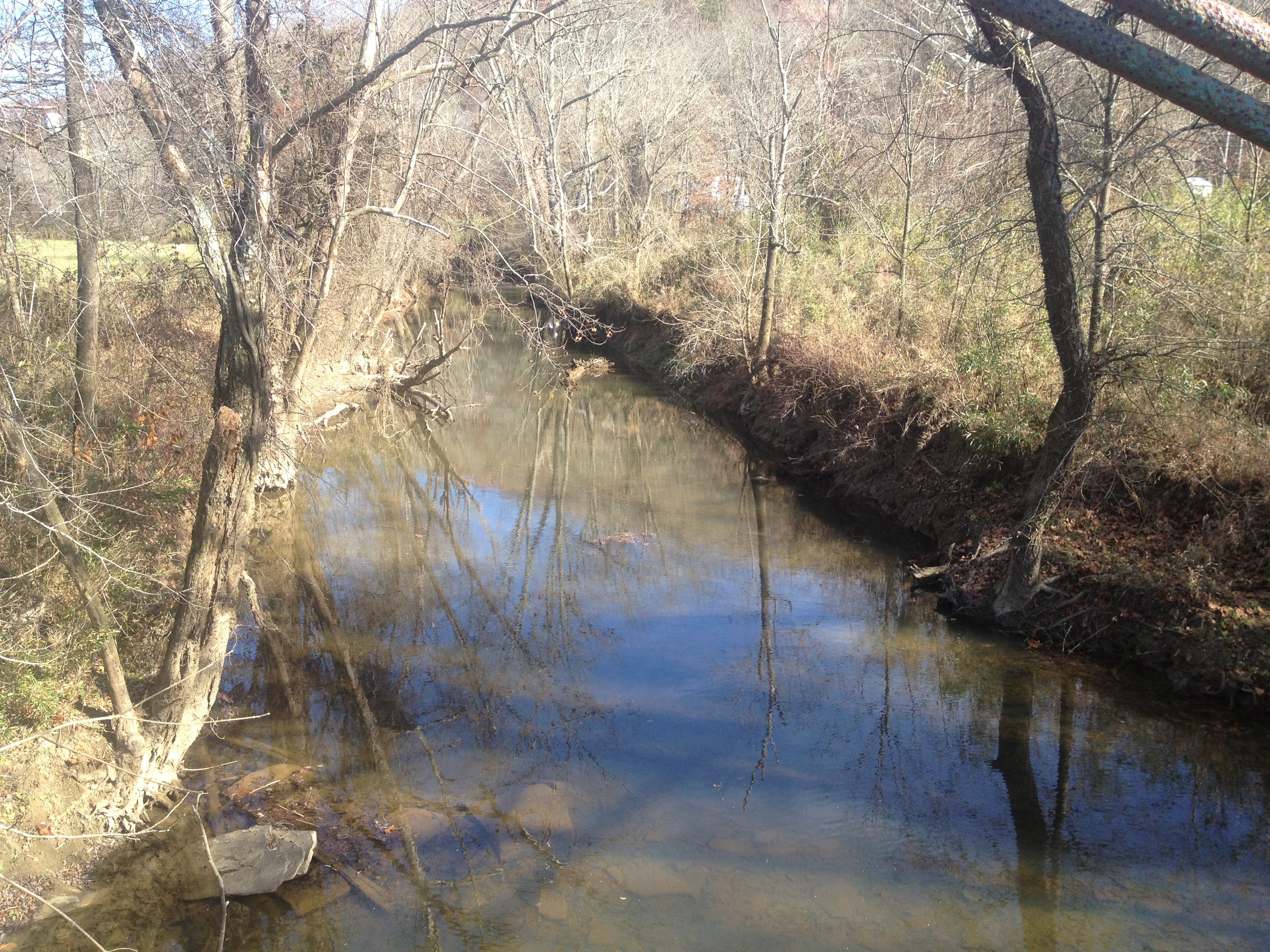
Swimming Hole Dogslaughter Creek

Top of natural bridge
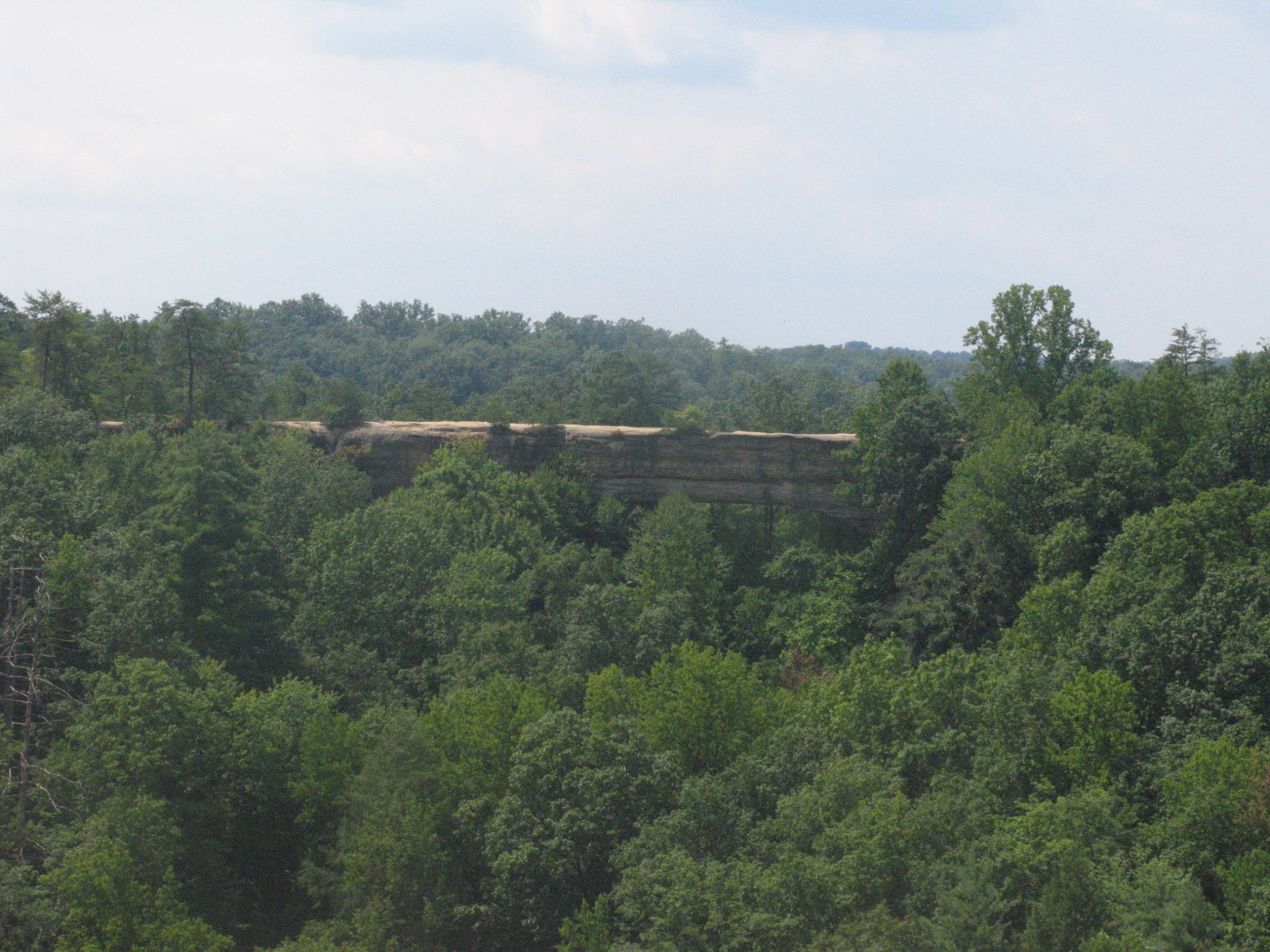
Natural Bridge
Topographic Map of Whitley County, KY, USA
Find elevation by address:

Places in Whitley County, KY, USA:
Places near Whitley County, KY, USA:
Corbin, Ky
US-25W, Williamsburg, KY, USA
CUMBERLND CLG, KY, USA
Williamsburg
111 Main St
577 Old Corbin Pike Rd
23 Railroad Ln
23 Railroad Ln
561 Watts Creek Rd
103 Trula Rose Rd
E-911
US-25W, Williamsburg, KY, USA
KY-, Williamsburg, KY, USA
State Hwy, Williamsburg, KY, USA
89 Davenport Ln
2427 Wolf Creek River Rd
3747 River Rd
State Hwy, Williamsburg, KY, USA
11100 Cumberland Falls Hwy
KY-, Corbin, KY, USA
Recent Searches:
- Elevation of Corso Fratelli Cairoli, 35, Macerata MC, Italy
- Elevation of Tallevast Rd, Sarasota, FL, USA
- Elevation of 4th St E, Sonoma, CA, USA
- Elevation of Black Hollow Rd, Pennsdale, PA, USA
- Elevation of Oakland Ave, Williamsport, PA, USA
- Elevation of Pedrógão Grande, Portugal
- Elevation of Klee Dr, Martinsburg, WV, USA
- Elevation of Via Roma, Pieranica CR, Italy
- Elevation of Tavkvetili Mountain, Georgia
- Elevation of Hartfords Bluff Cir, Mt Pleasant, SC, USA