Elevation of Whiteley Peak, Colorado, USA
Location: United States > Colorado > Kremmling >
Longitude: -106.49336
Latitude: 40.3180387
Elevation: 2961m / 9715feet
Barometric Pressure: 70KPa
Elevation Map:
Satellite Map:
Related Photos:
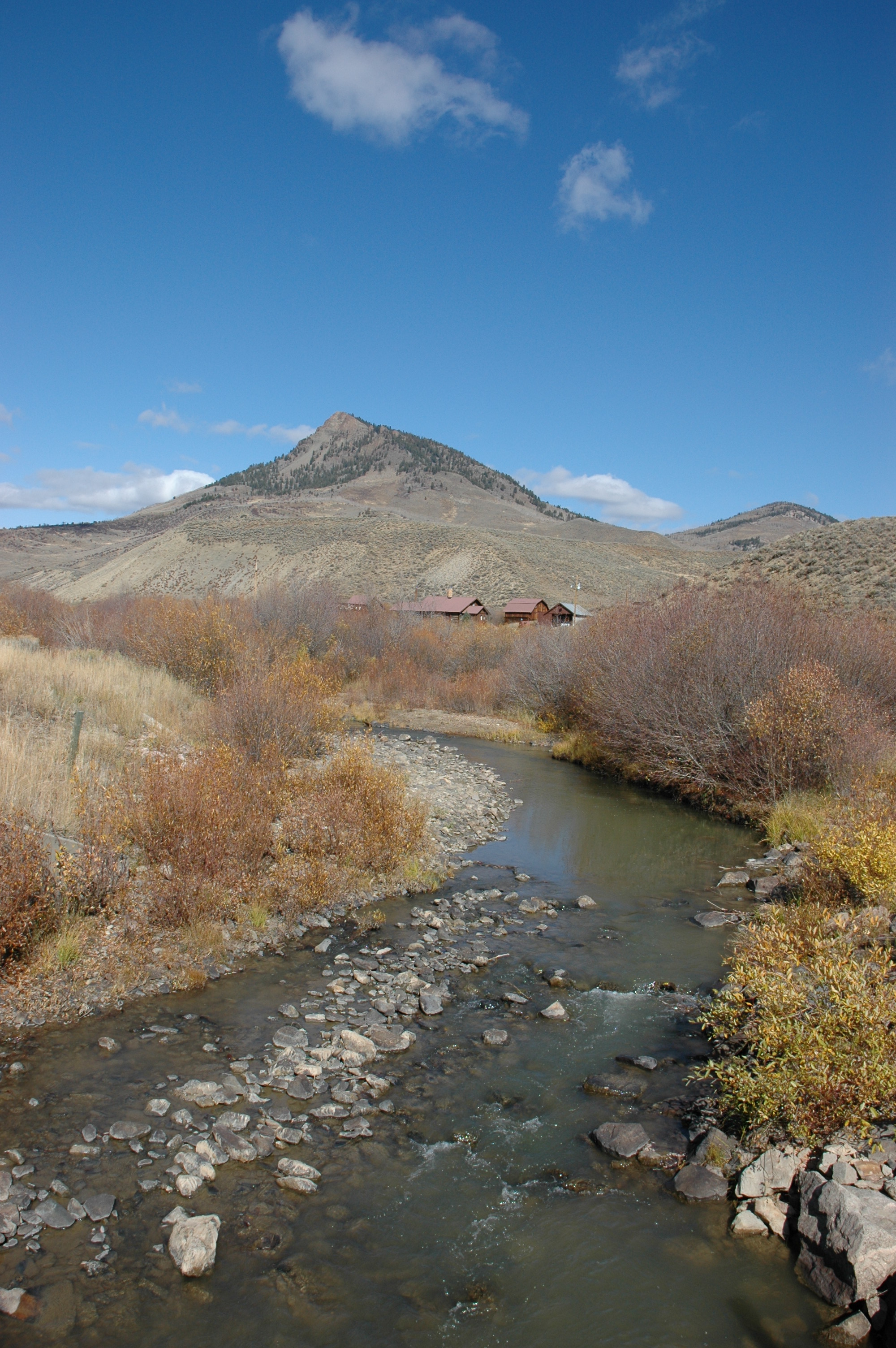
Whiteley Peak
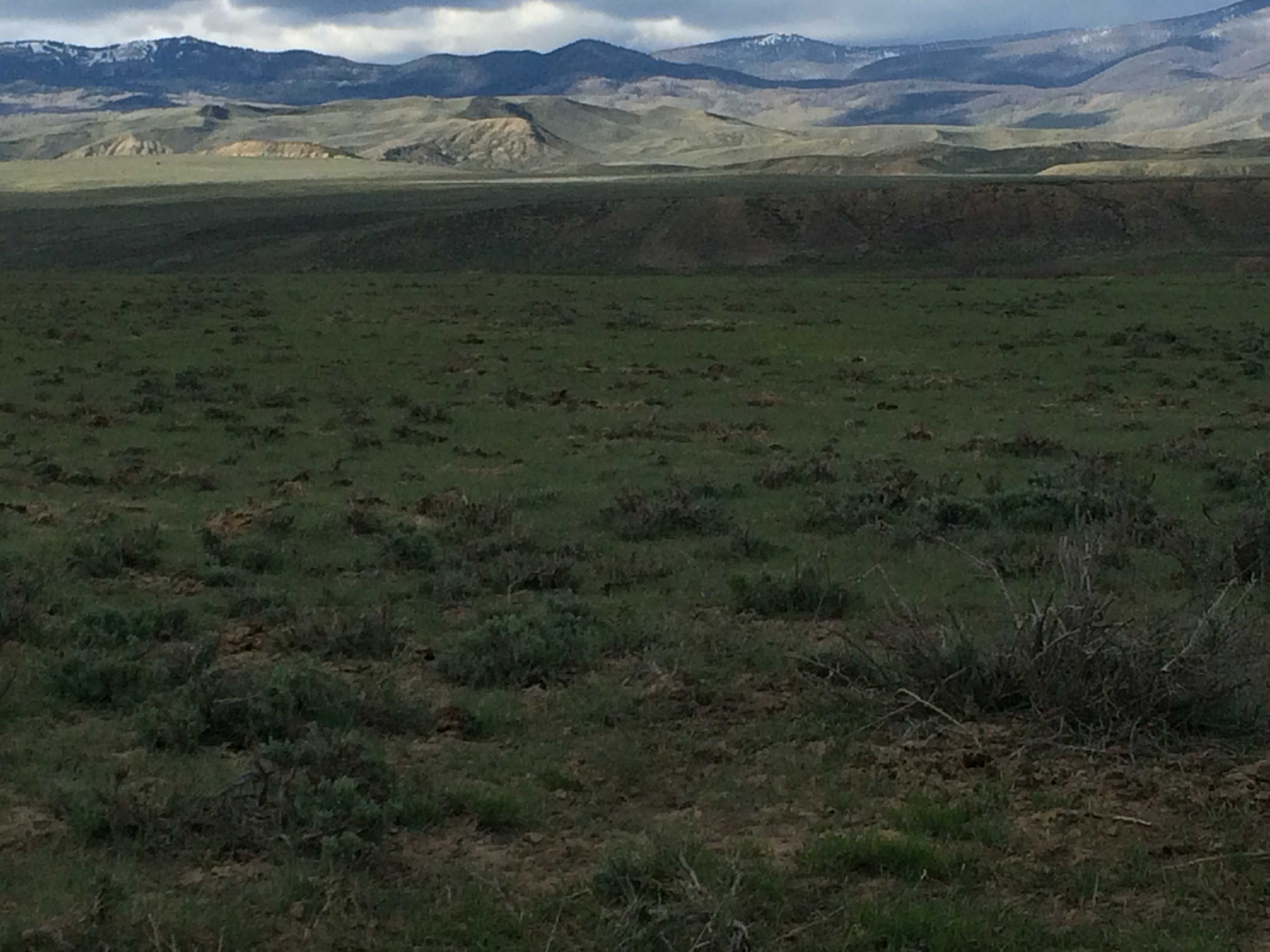
Sagebrush steppe north of Kremmling, Colorado
Topographic Map of Whiteley Peak, Colorado, USA
Find elevation by address:

Places near Whiteley Peak, Colorado, USA:
North Ryder Peak
286 Upper Bear Mountain Rd
375 Co Rd 286
Dennis Hump
Ironclad Mountain
1805 County Rd 186
Little Haystack Mountain
Rabbit Ears Pass
Spicer Peak
Rabbit Ears Peak
Dumont Lake
830 Co Rd 165
Hyannis Peak
Gore Mountain
Mexican Ridge North
Barlow Drive
County Road 130
Pole Mountain
370 Co Rd 134
Walton Peak
Recent Searches:
- Elevation of Corso Fratelli Cairoli, 35, Macerata MC, Italy
- Elevation of Tallevast Rd, Sarasota, FL, USA
- Elevation of 4th St E, Sonoma, CA, USA
- Elevation of Black Hollow Rd, Pennsdale, PA, USA
- Elevation of Oakland Ave, Williamsport, PA, USA
- Elevation of Pedrógão Grande, Portugal
- Elevation of Klee Dr, Martinsburg, WV, USA
- Elevation of Via Roma, Pieranica CR, Italy
- Elevation of Tavkvetili Mountain, Georgia
- Elevation of Hartfords Bluff Cir, Mt Pleasant, SC, USA