Elevation of White Acorn Ranch, Sweetwater Gap Rd, Boulder, WY, USA
Location: United States > Wyoming > Sublette County >
Longitude: -109.11557
Latitude: 42.53205
Elevation: 2488m / 8163feet
Barometric Pressure: 75KPa
Elevation Map:
Satellite Map:
Related Photos:

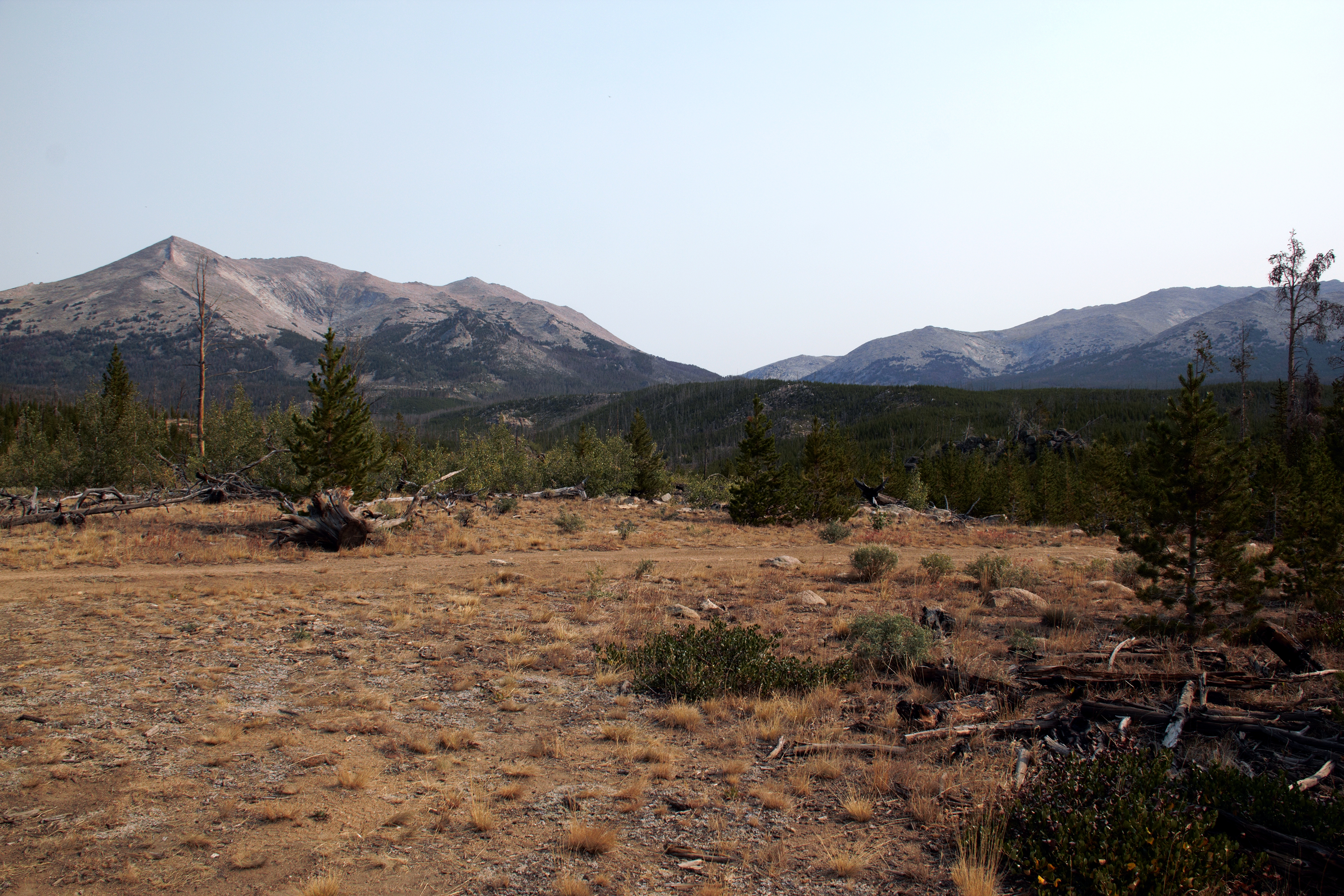
Rocky mountains, USA, CrossView
IMG_1745 (3)
Wind River 2013.28

Wind River 2013.56
Wind River 2013.56
Wind River 2013.232
Great Basin Aug 9, 2014, 5-24 PM.16
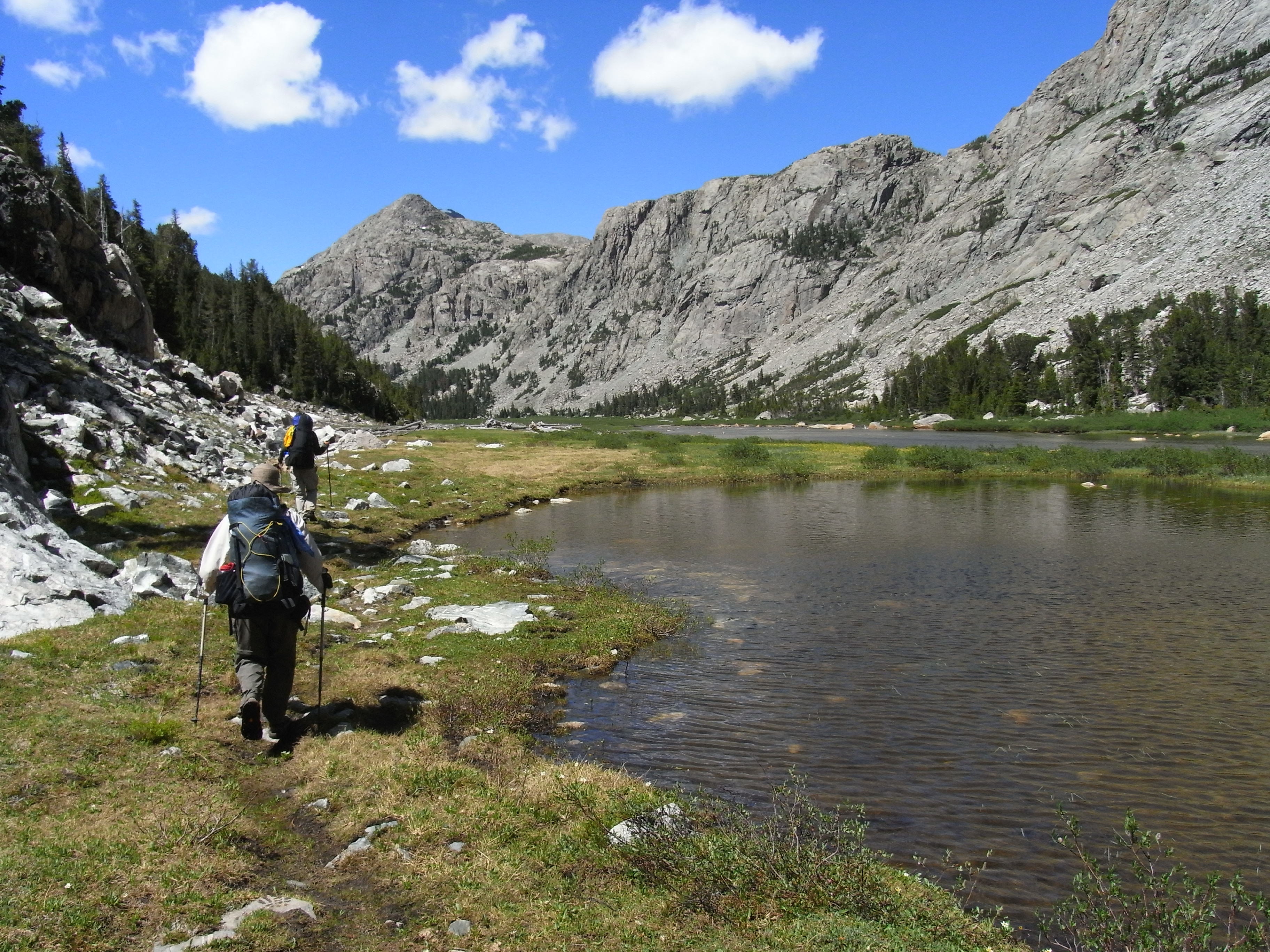
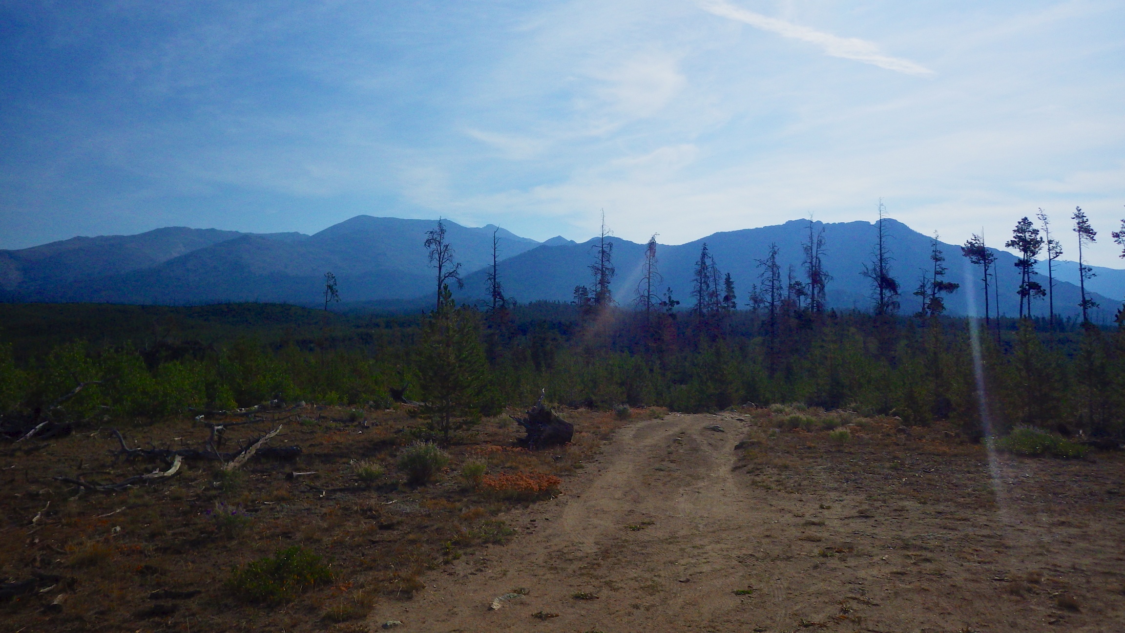
Upper Little Sandy Creek
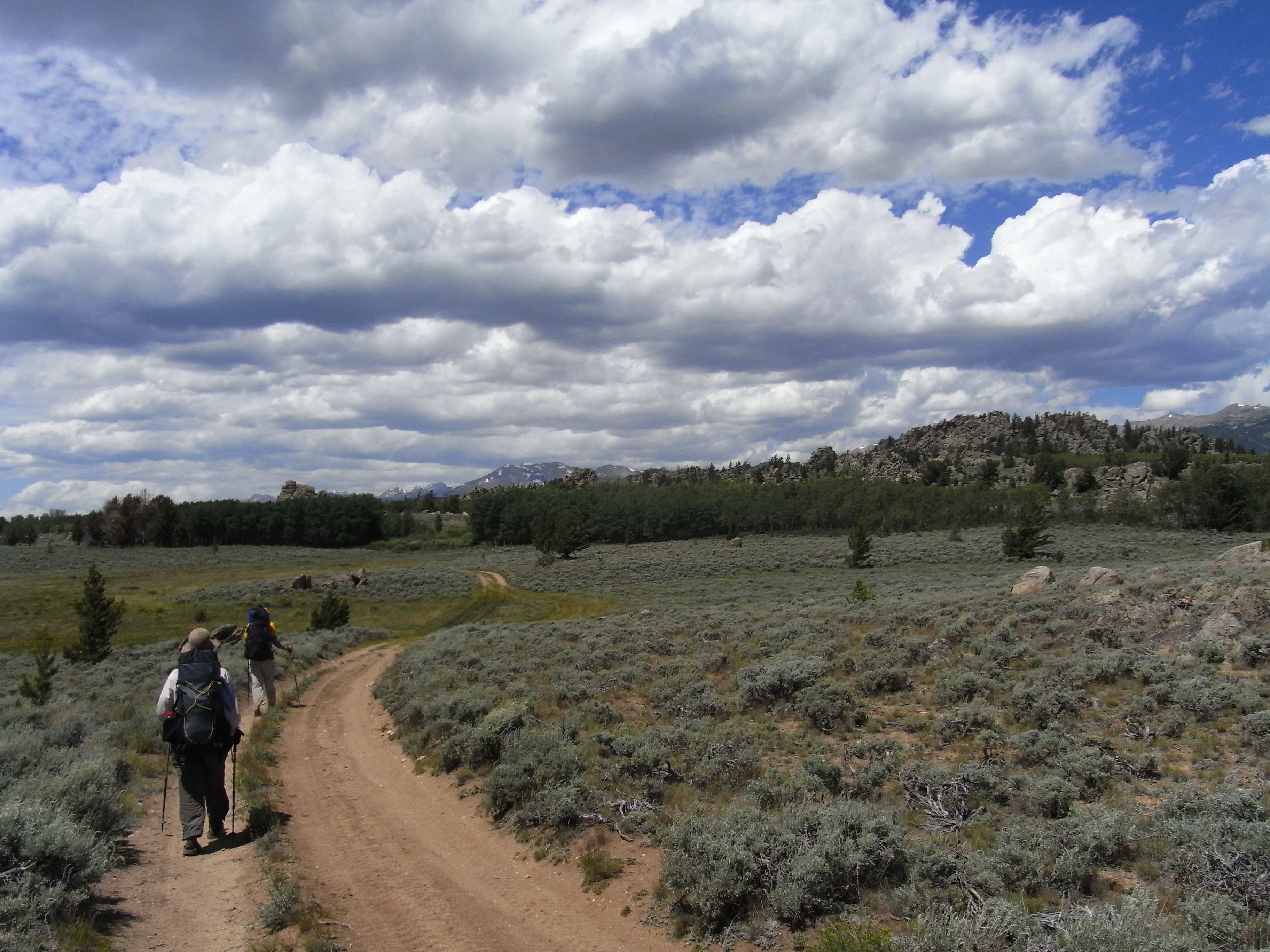
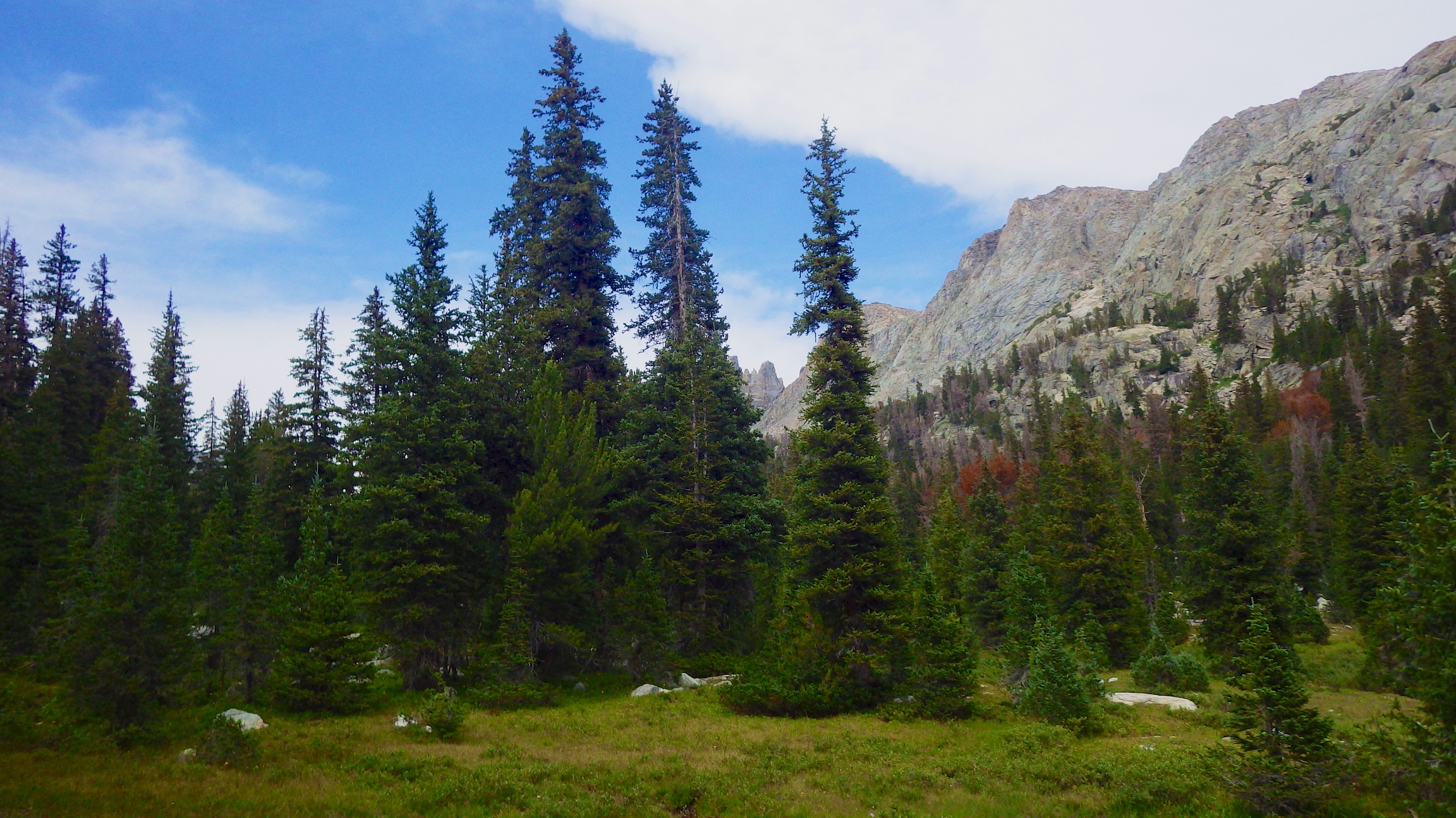
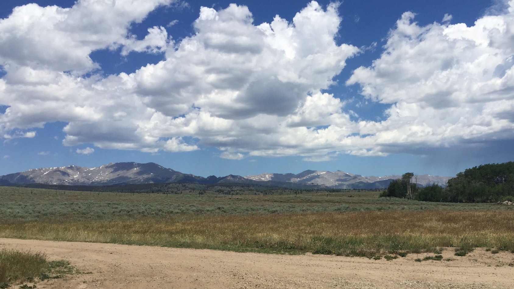
Clouds Building
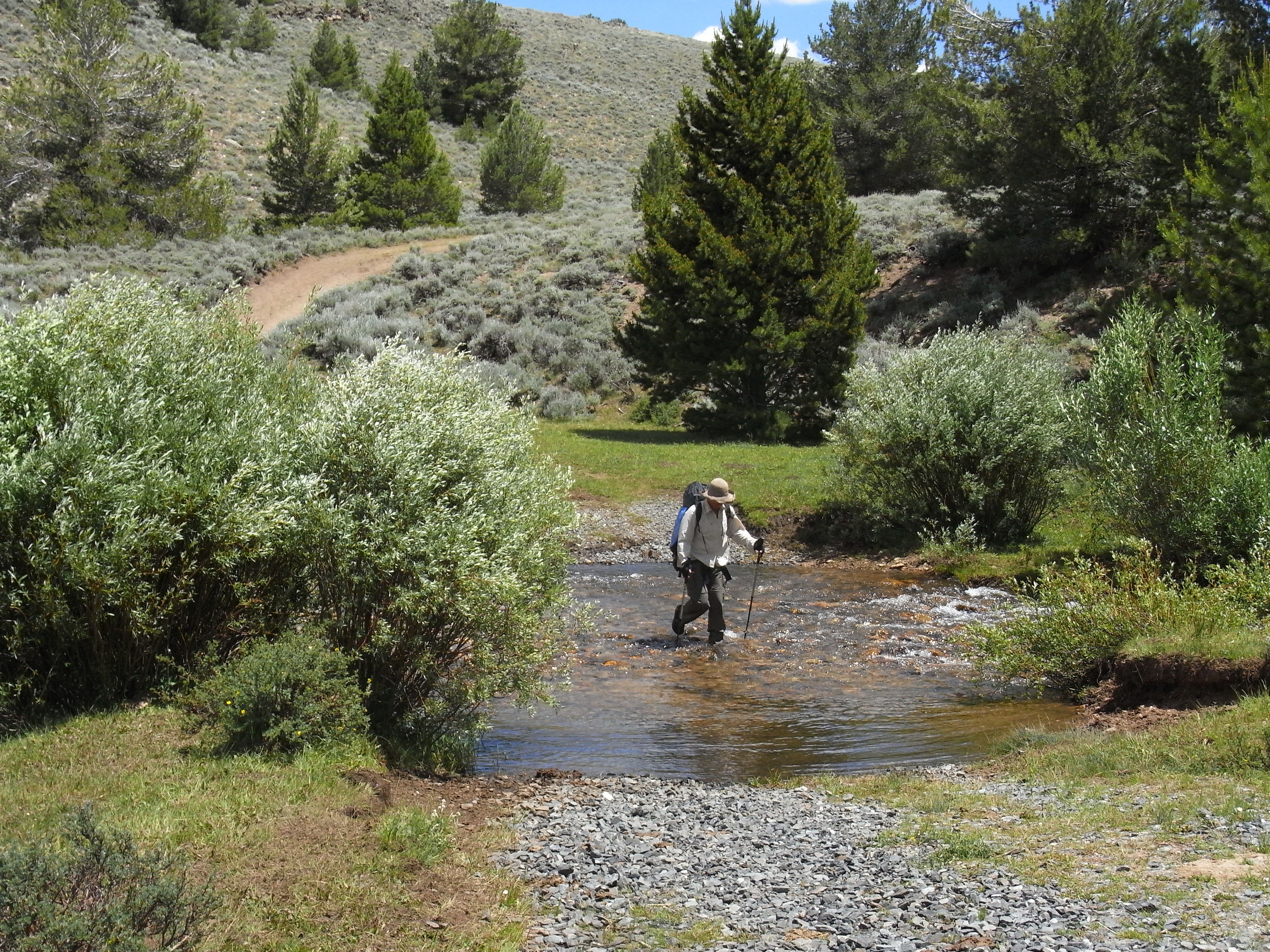
Let the crossings begin
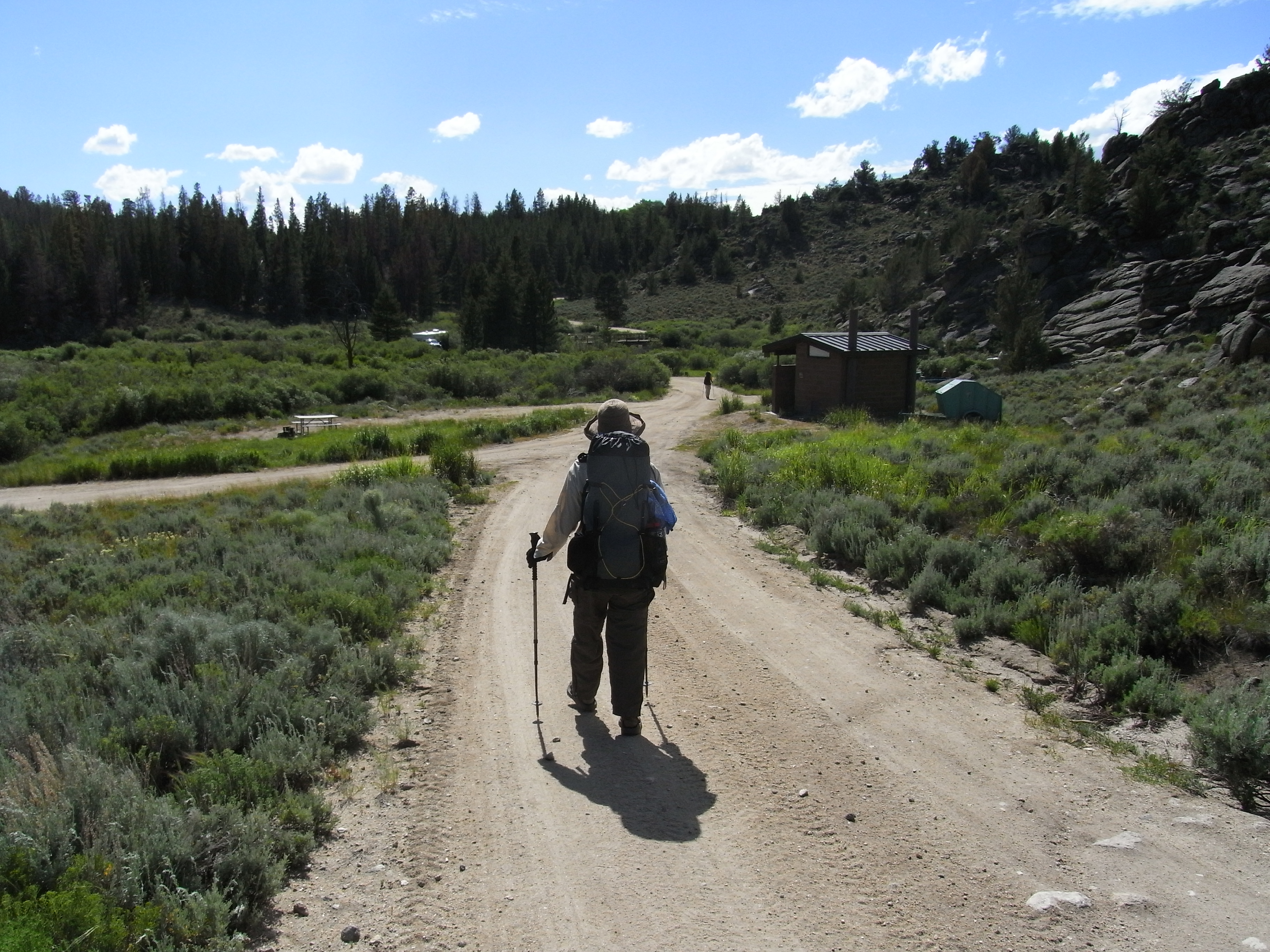
Sweetwater Campground
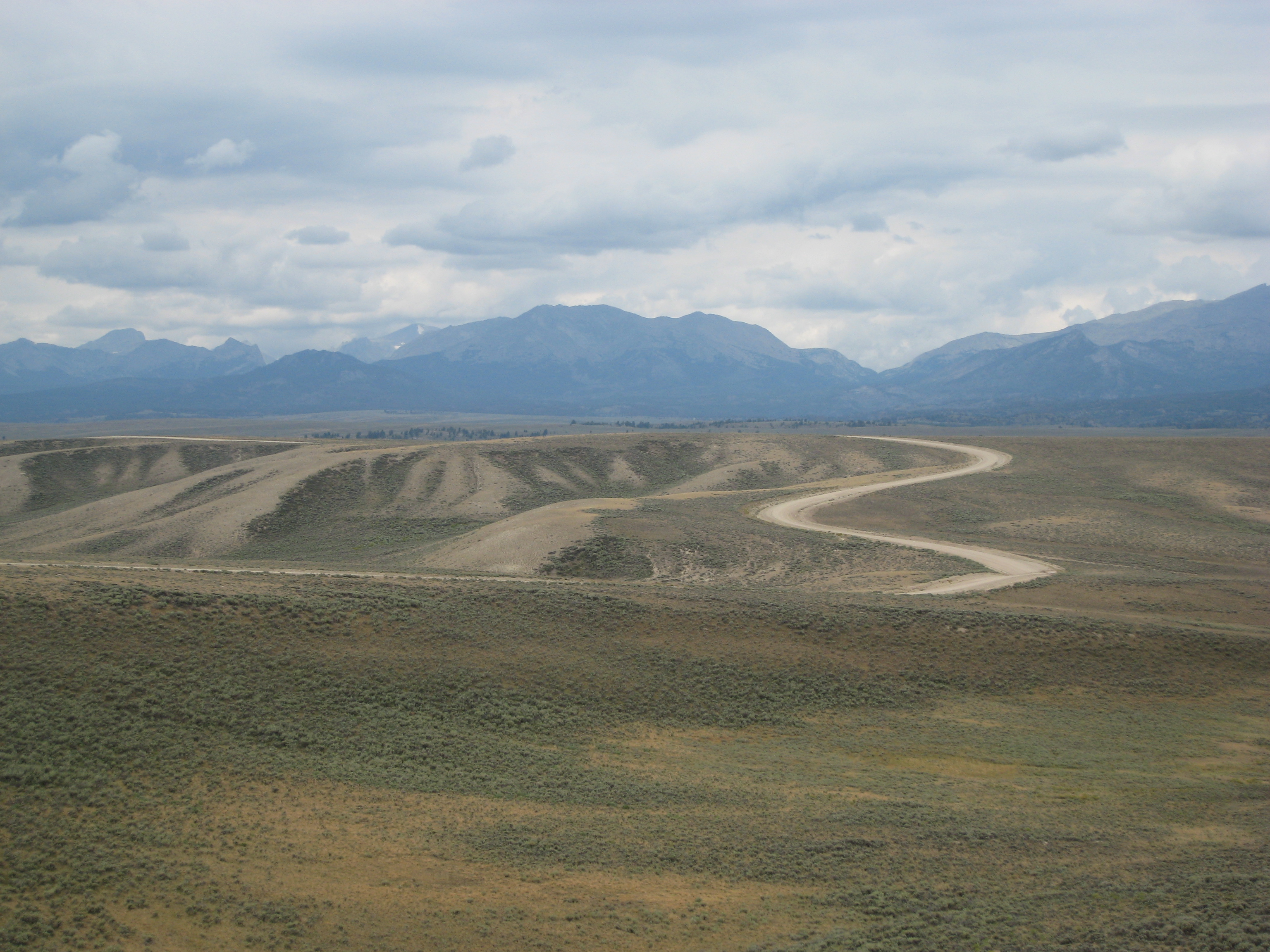
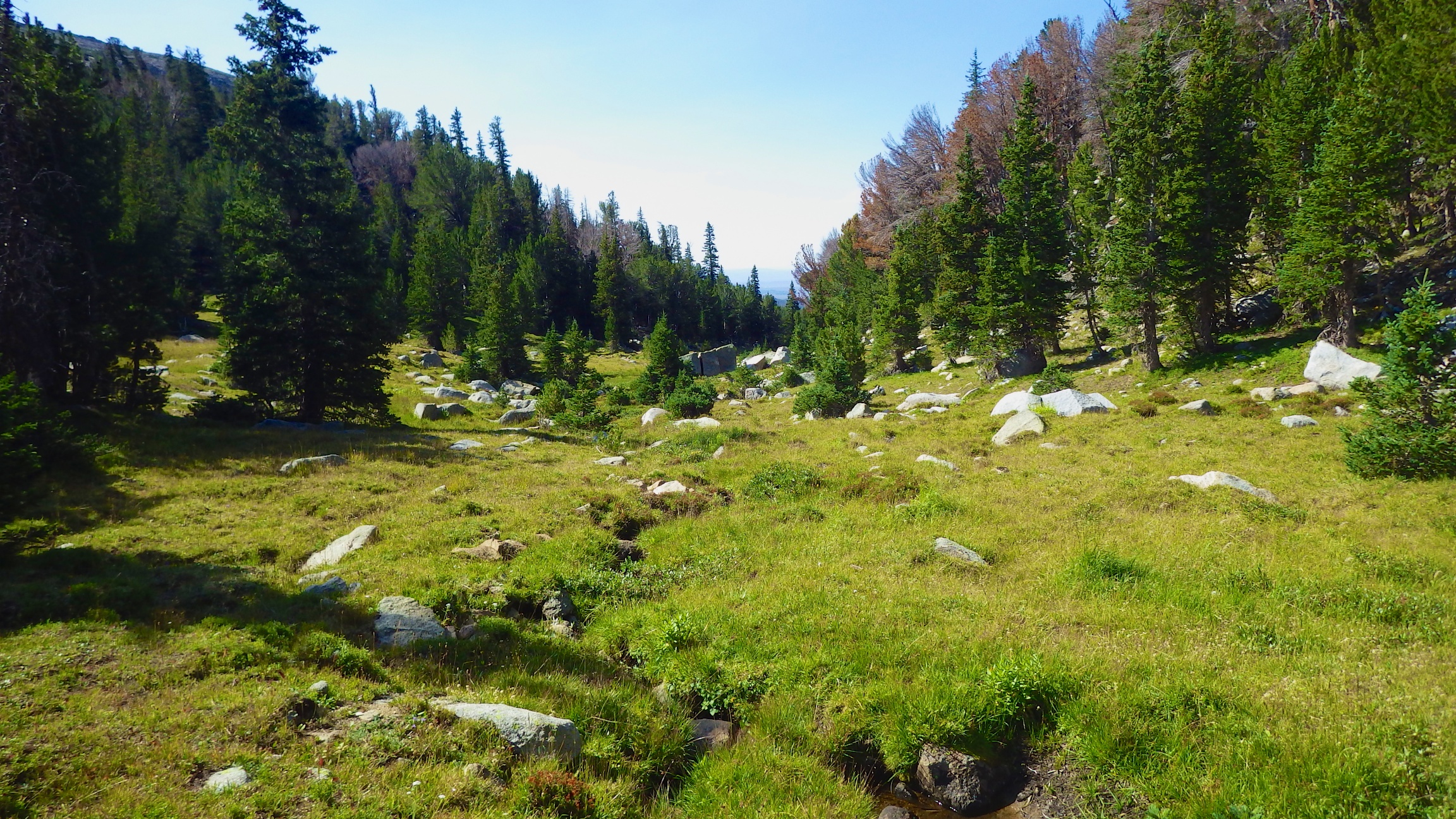
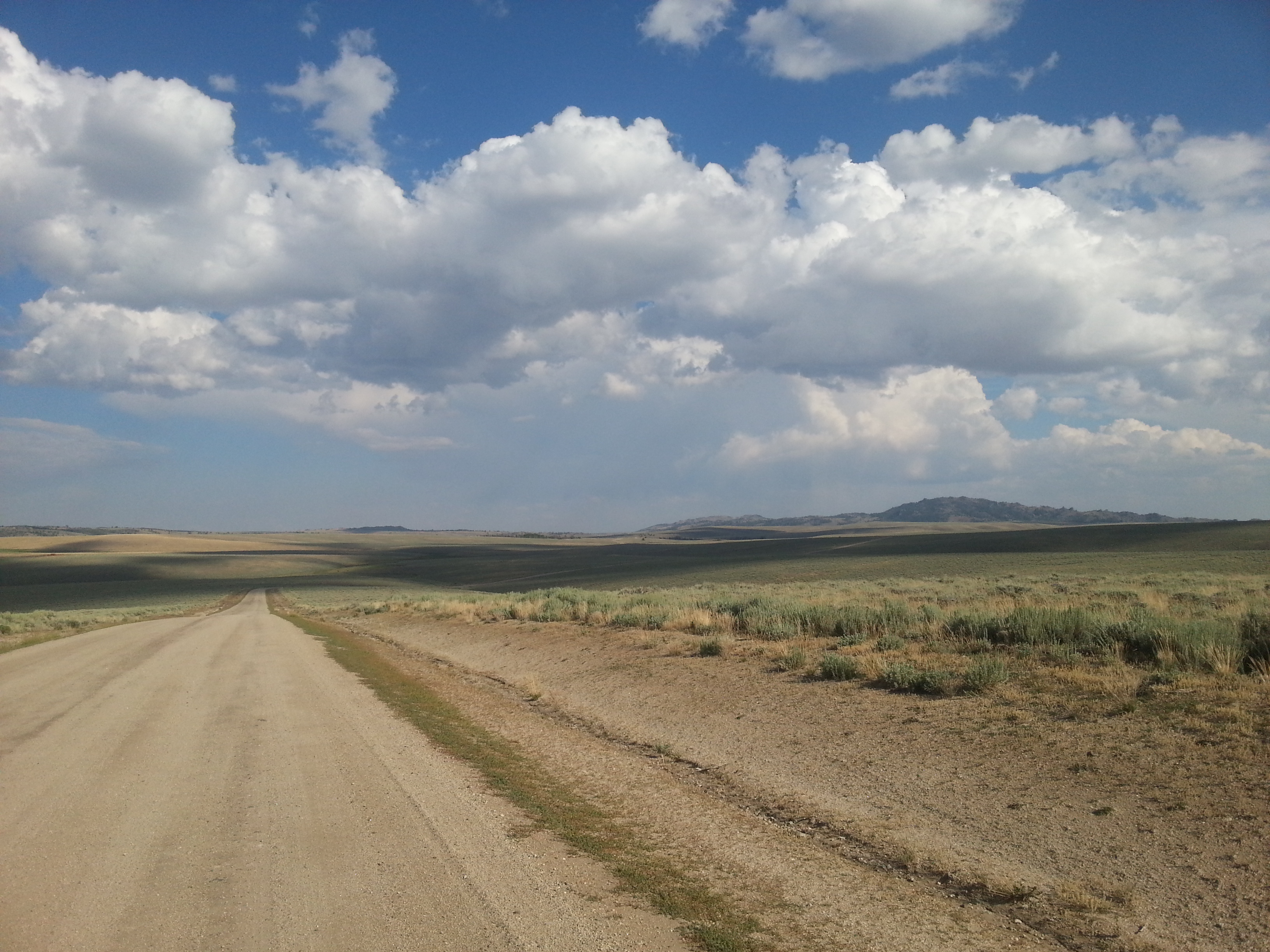
Rolling Hills in Wyoming
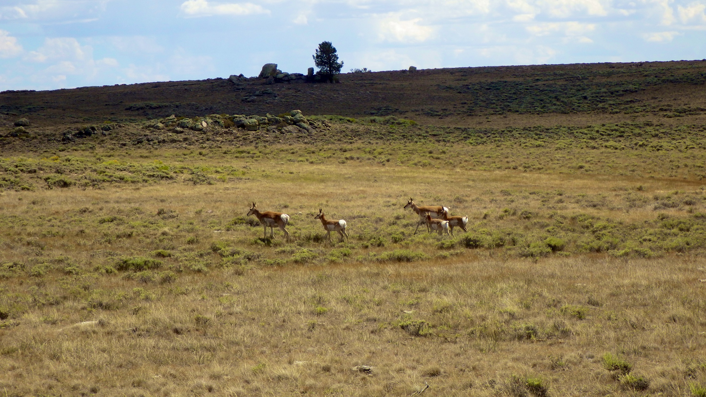
Wind River 2013.236
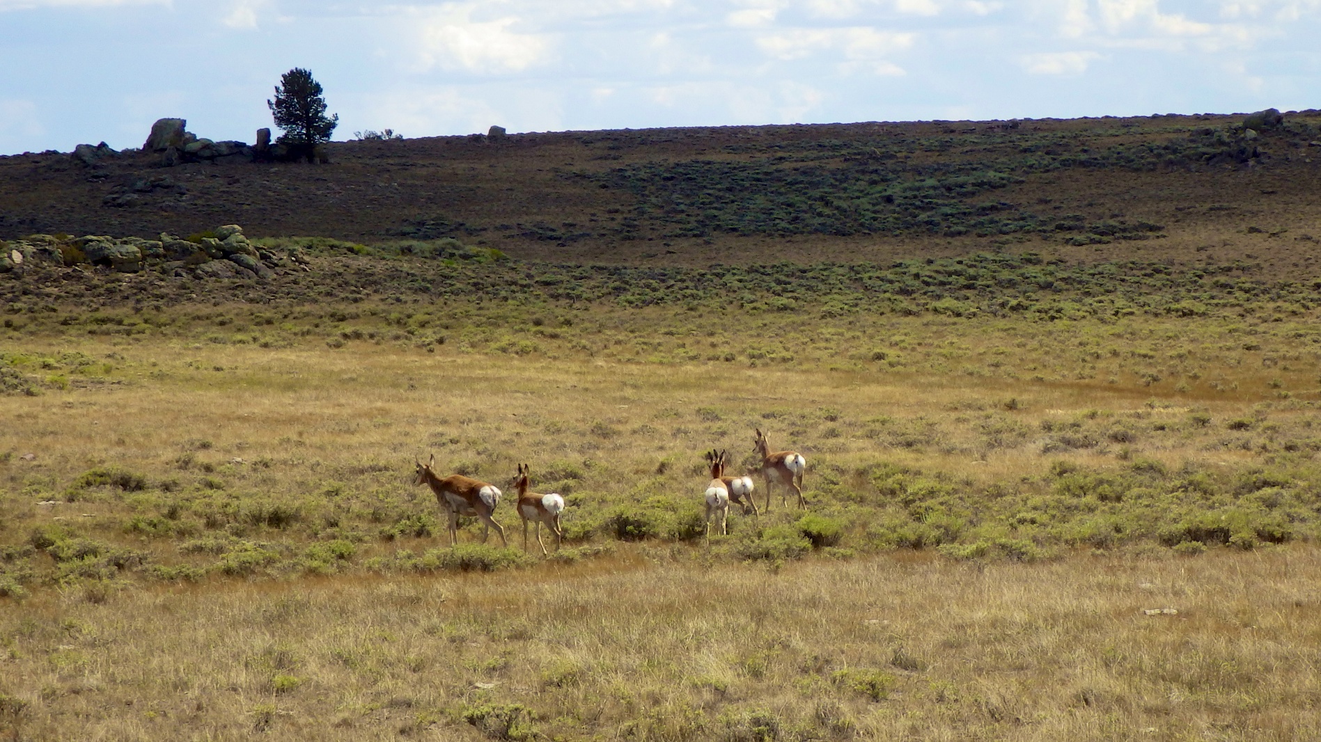
Wind River 2013.235
June 27. Very hot long day of up and down. Good weather continues. Many divide crossings and riding along the divide
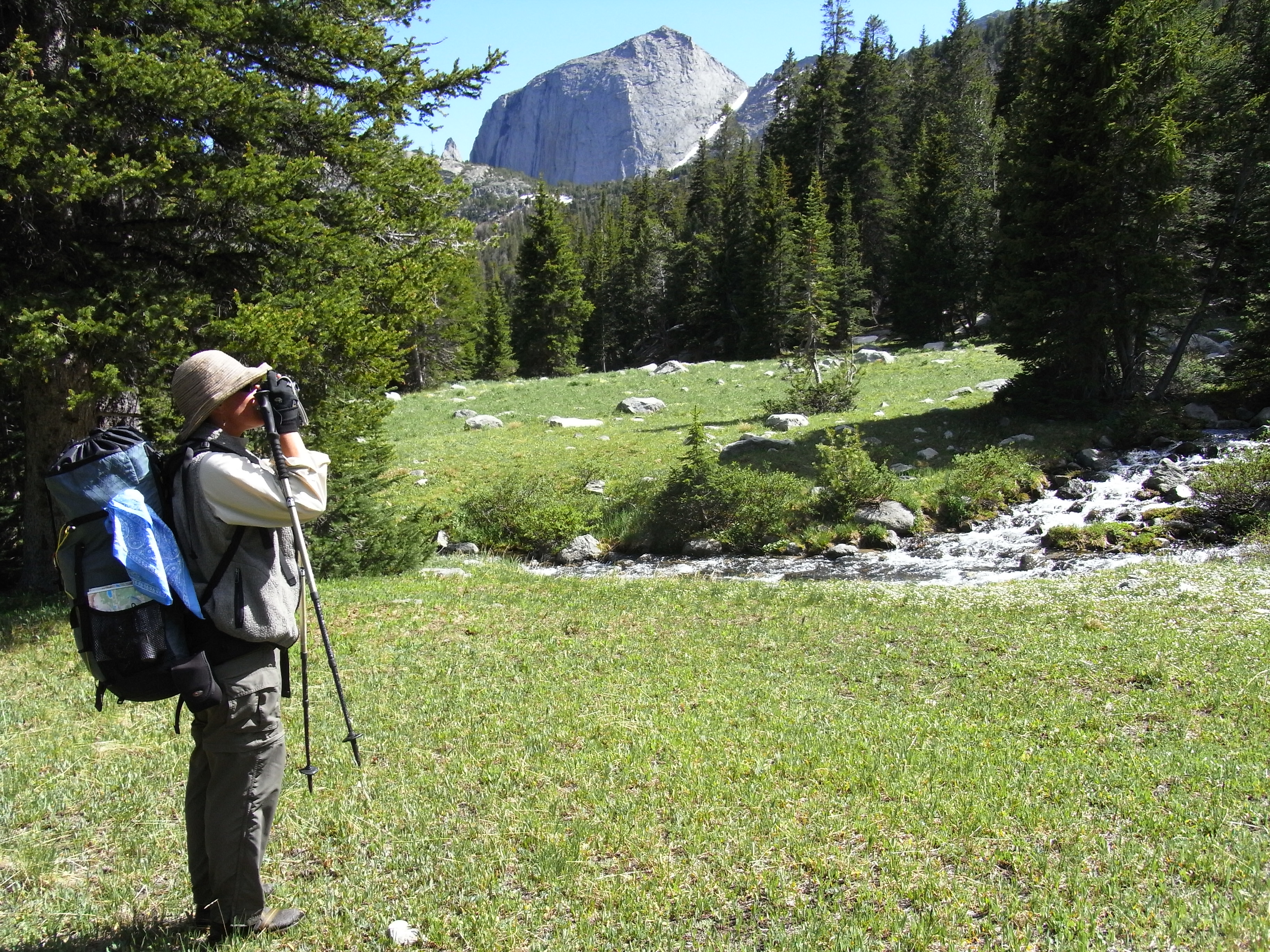
Camera time
Topographic Map of White Acorn Ranch, Sweetwater Gap Rd, Boulder, WY, USA
Find elevation by address:

Places near White Acorn Ranch, Sweetwater Gap Rd, Boulder, WY, USA:
South Pass
Louis Lake
22 S Pass Main St, South Pass City, WY, USA
South Pass City
Big Sandy Elkhorn Rd, Boulder, WY, USA
15 N Granier Ave, Atlantic City, WY, USA
Sinks Canyon Road
Boulder Loop
124 Boulder Loop
US-, Lander, WY, USA
Lander
Main St, Lander, WY, USA
US-, Lander, WY, USA
Boulder Flats
Boulder Flats
Boulder Flats
Boulder Flats
Boulder Flats
Boulder Flats
Boulder Flats
Recent Searches:
- Elevation of Hercules Dr, Colorado Springs, CO, USA
- Elevation of Szlak pieszy czarny, Poland
- Elevation of Griffing Blvd, Biscayne Park, FL, USA
- Elevation of Kreuzburger Weg 13, Düsseldorf, Germany
- Elevation of Gateway Blvd SE, Canton, OH, USA
- Elevation of East W.T. Harris Boulevard, E W.T. Harris Blvd, Charlotte, NC, USA
- Elevation of West Sugar Creek, Charlotte, NC, USA
- Elevation of Wayland, NY, USA
- Elevation of Steadfast Ct, Daphne, AL, USA
- Elevation of Lagasgasan, X+CQH, Tiaong, Quezon, Philippines