Elevation of Whippoorwill Hill Dr, High Ridge, MO, USA
Location: United States > Missouri > Jefferson County > High Ridge Township > High Ridge >
Longitude: -90.576655
Latitude: 38.485288
Elevation: 219m / 719feet
Barometric Pressure: 99KPa
Elevation Map:
Satellite Map:
Related Photos:
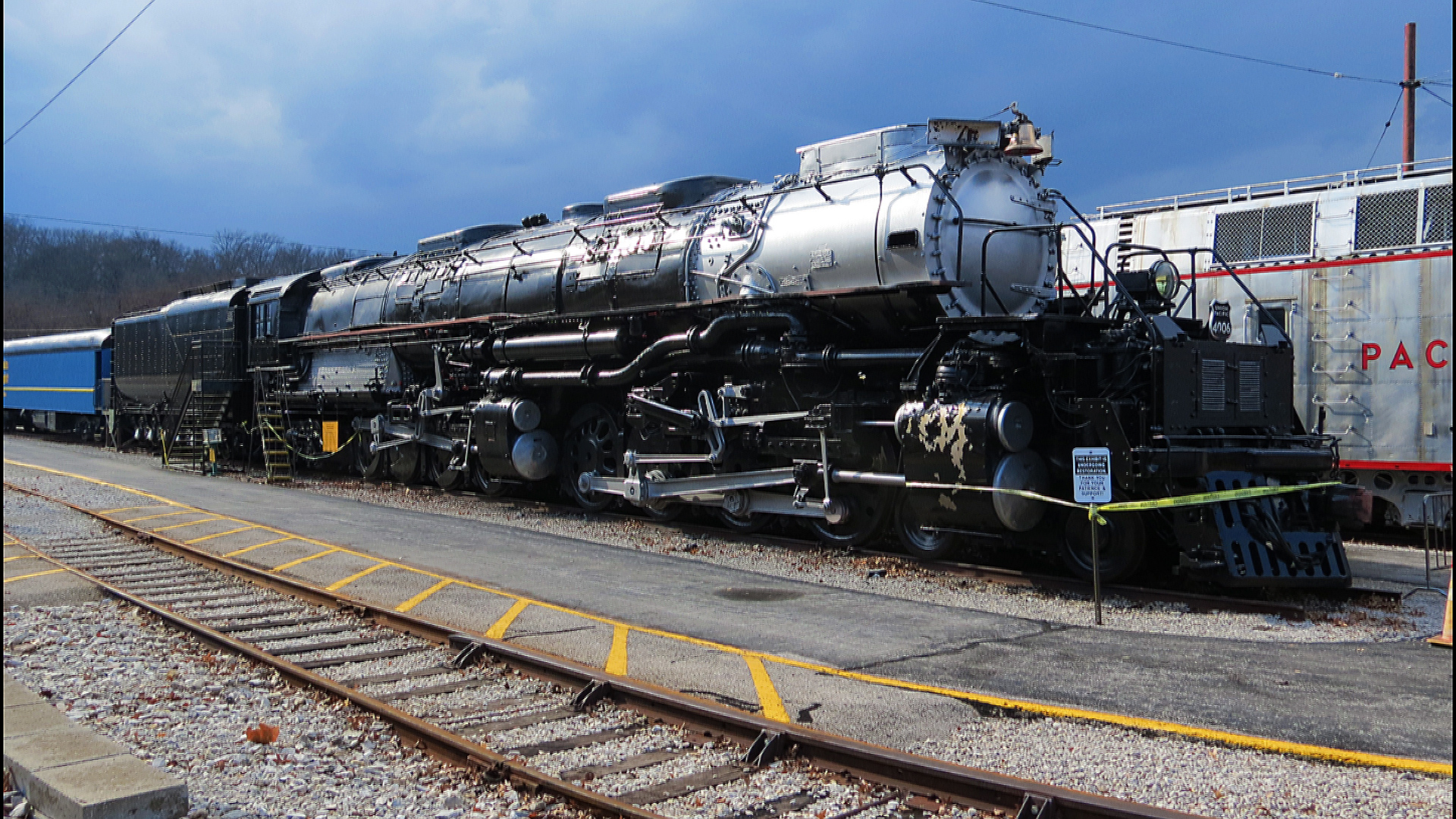
UP Big Boy 4006 Steam Locomotive
Meramec River, near Eureka, Missouri, USA - view at dusk from Route 66 State Park bridge
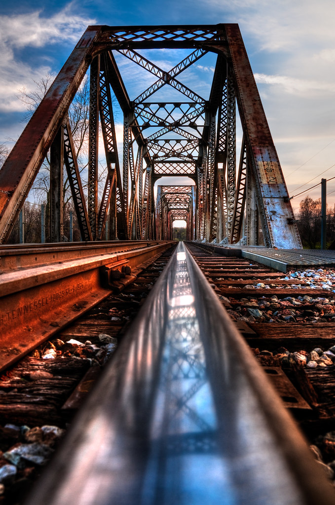
Valley Park RR Bridge

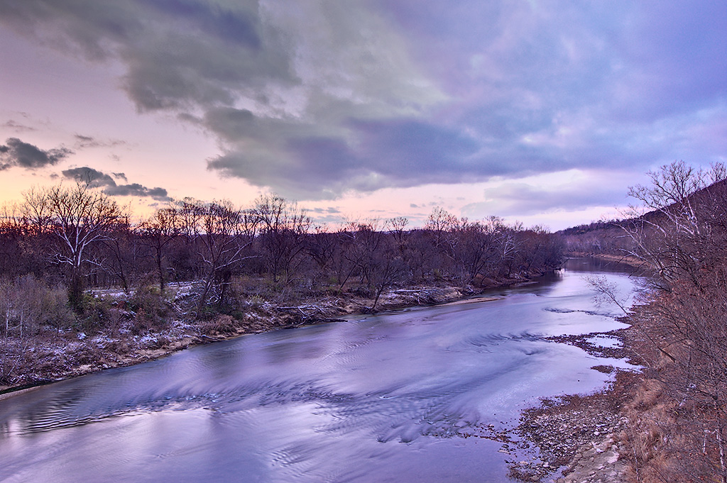
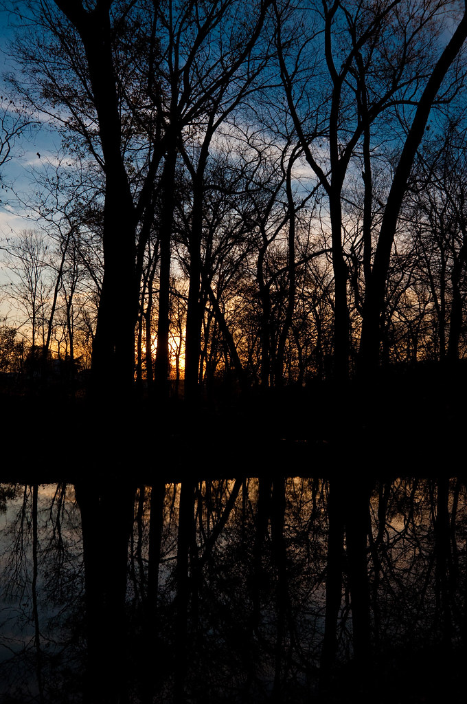
Meramec River Sunset

View from Beau's Rock Mountain
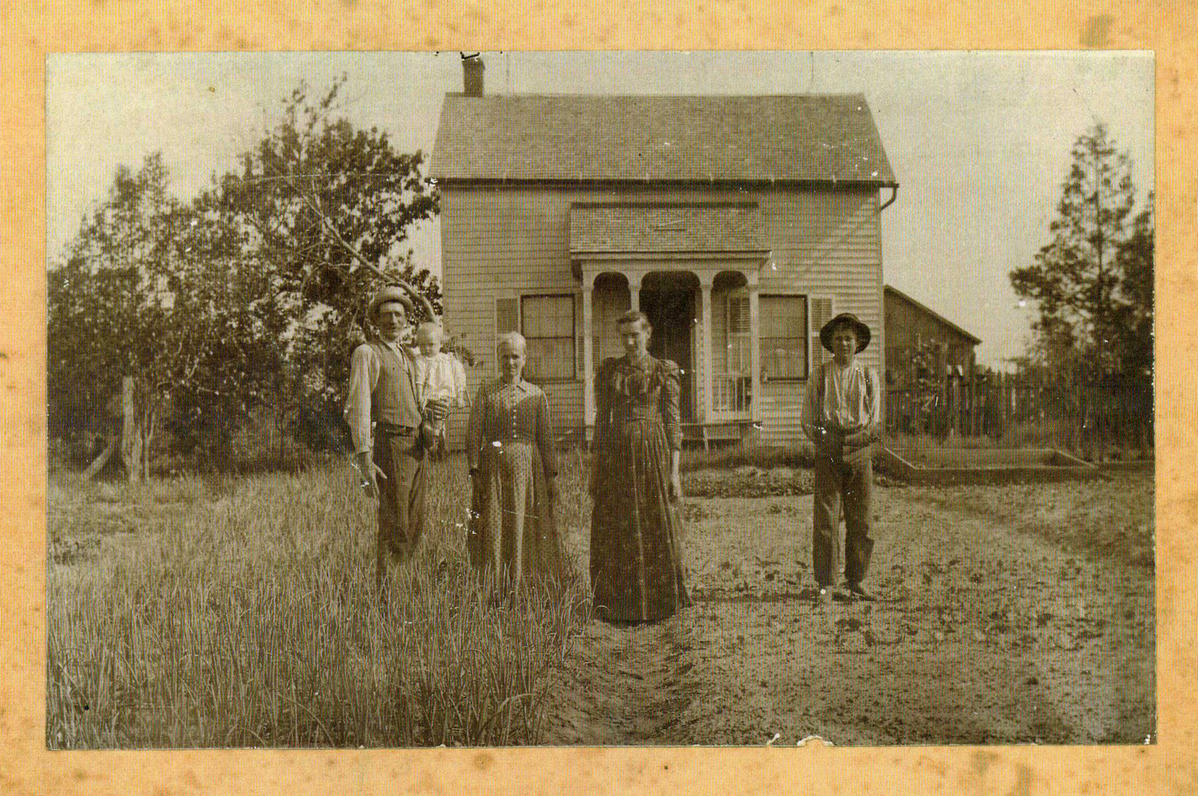
Old Kopp Farmhouse
Mini Ha Ha Sunset
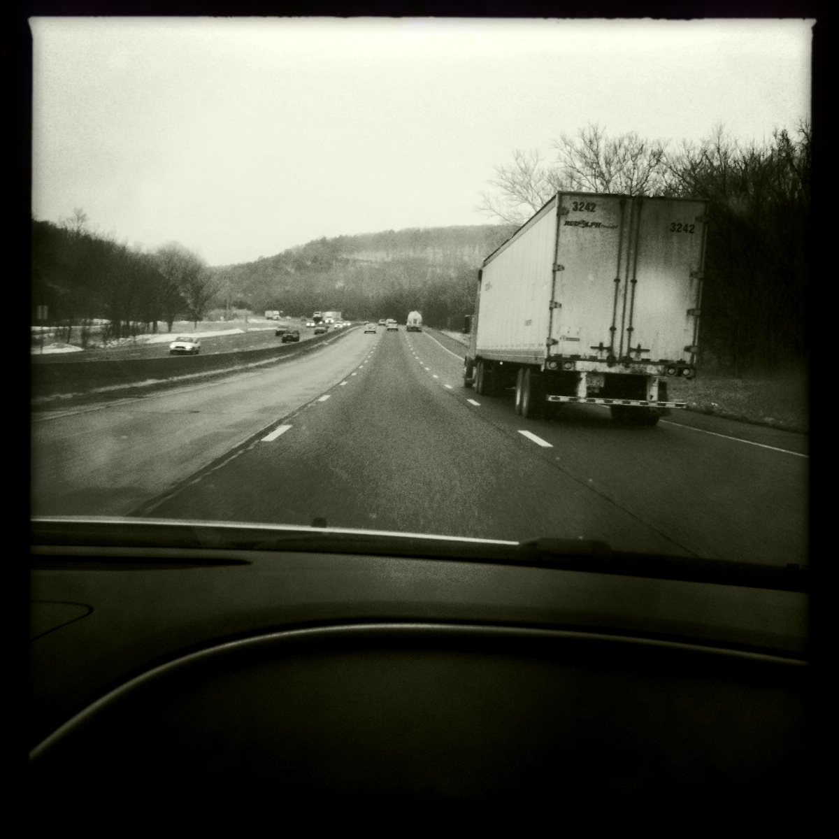
Passenger Side View, Highway 44

Leave Out All The Rest
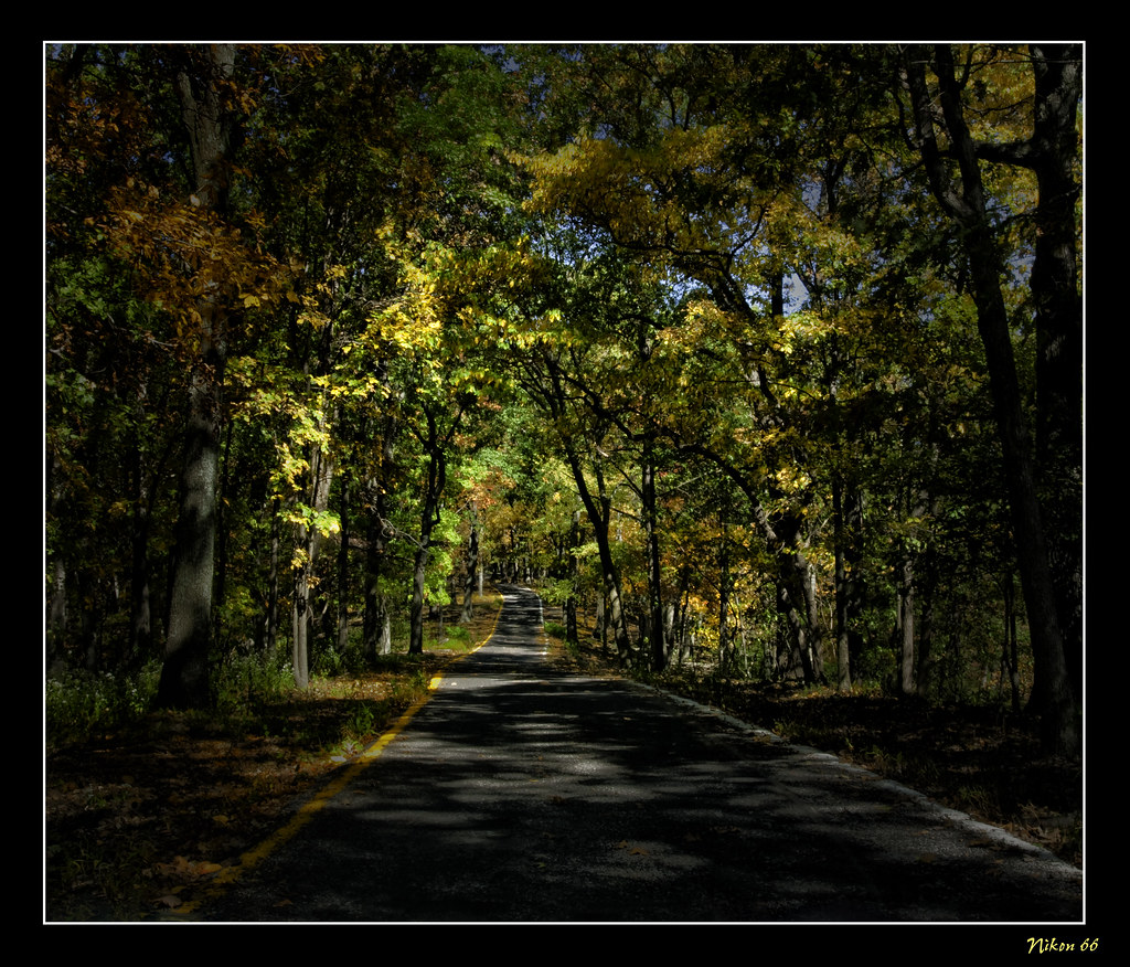
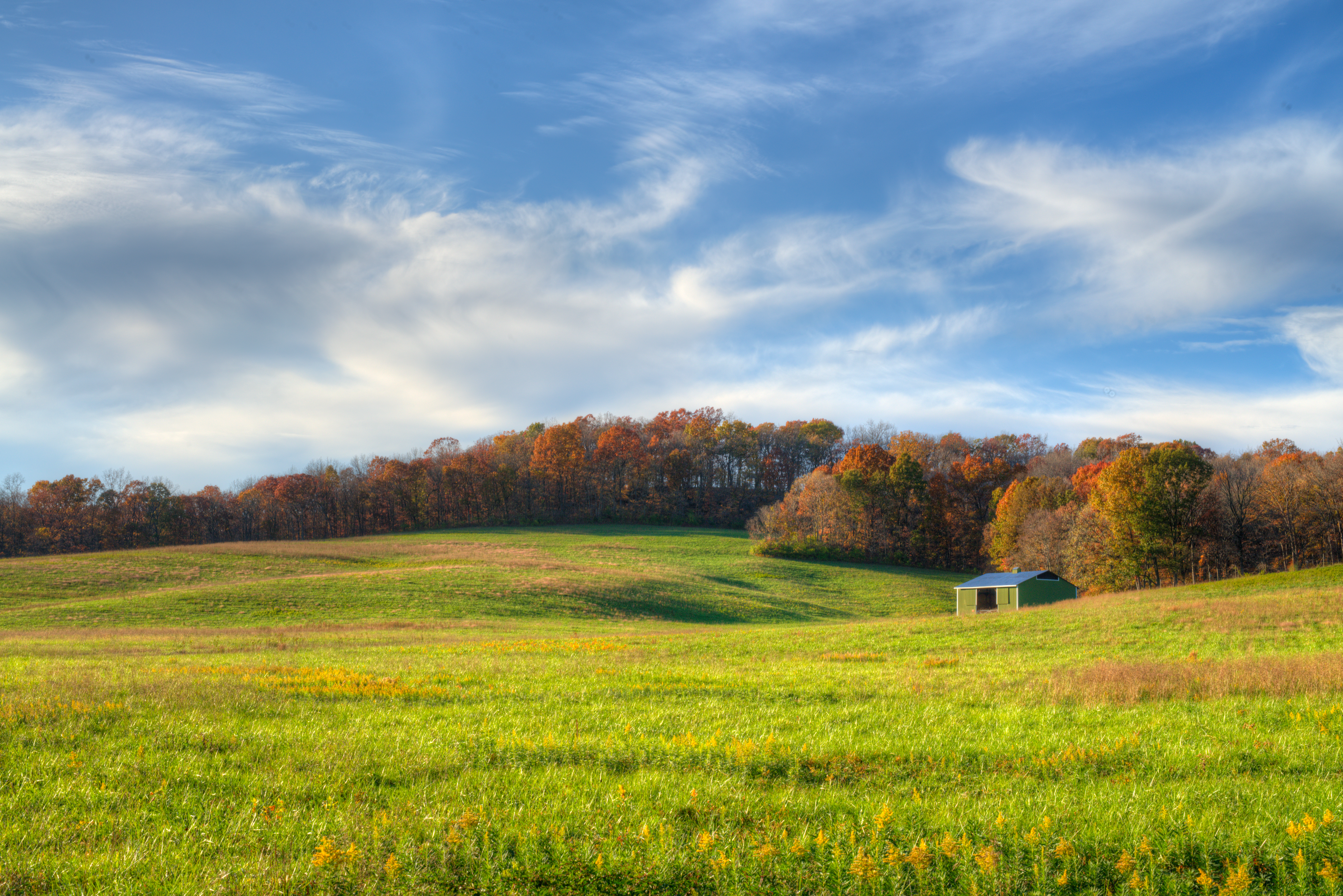
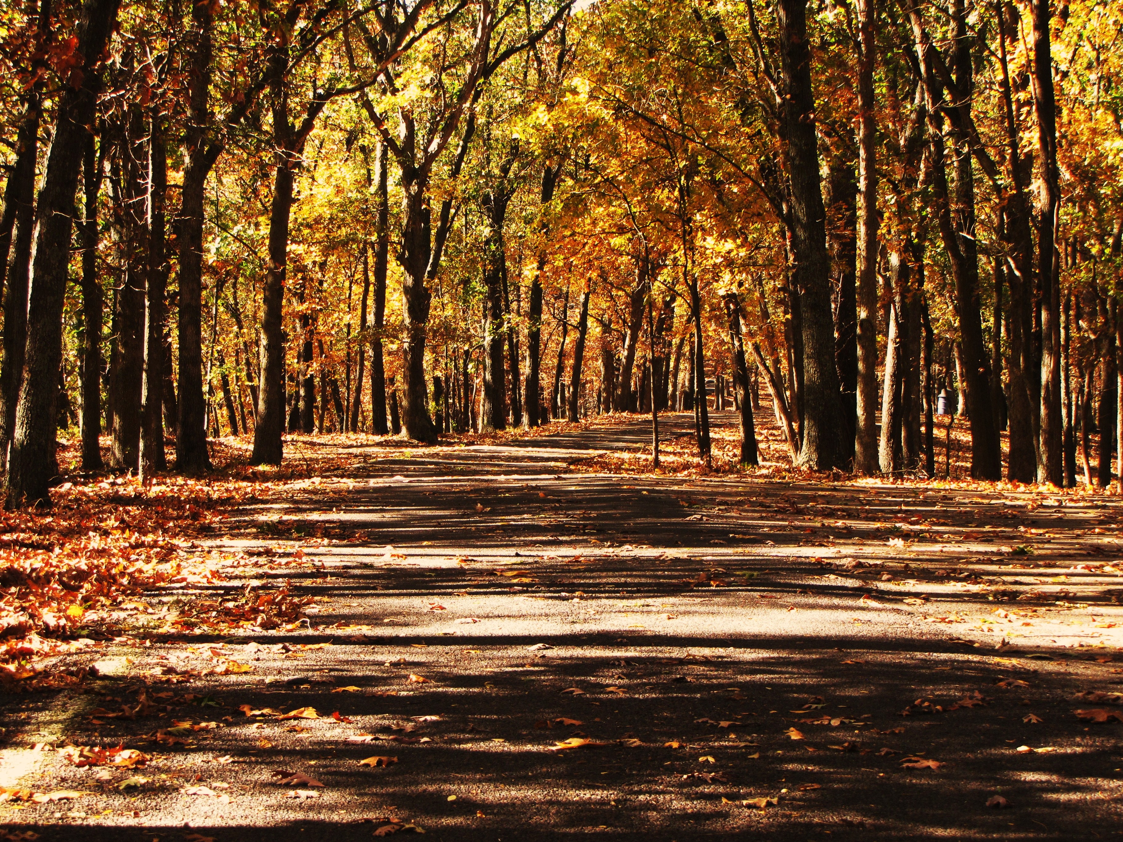
Fall in Missouri

Tuff Guy
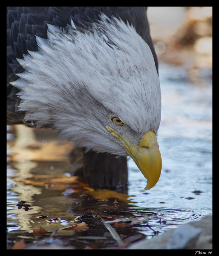
Eagle Staring into Water

American Kestrel - Close-Up

Snowy Ozarks view

Eagle Standing on a Log
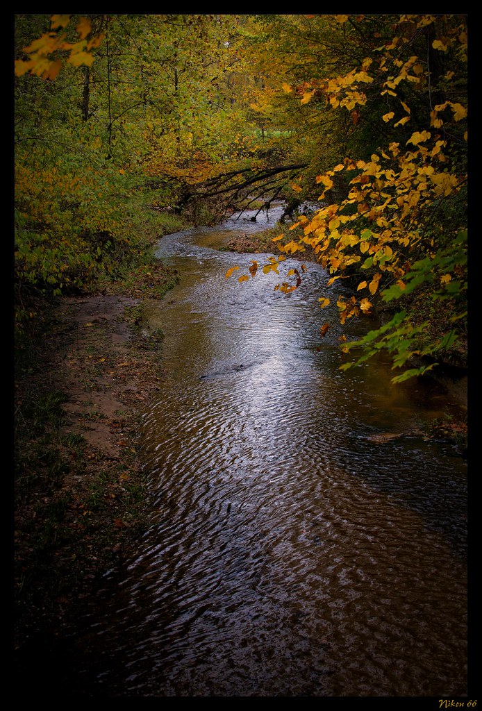
LaBarque Creek

A collection of raindrops

Swift Fox - No. 4

Buck Profile

Pretty noon view at church

Afternoon view with Pops & Beau

Buoys at Laumeier Sculpture Park

The Eyeball at Laumeier Sculpture Park

nov snow 04 008
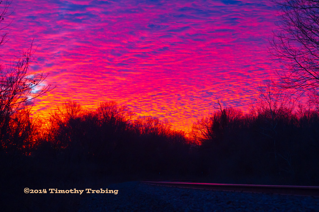
Sunset @Park #4
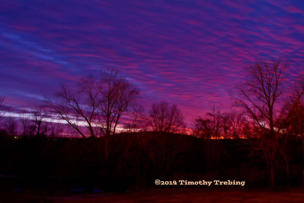
Sunset @Park #5
Saline Valley
A Peaceful Walk

Water Crossing

Lone Elk Park Lake
DSC03622-001

Powering through the #fields.

CNAAE 24

Yellowstone and Grand Tetons
Flying high above Wildwood, MO

The Meramec River today!
Through the woods. #blackandwhite #trees #path #missouri #spooky #eerie
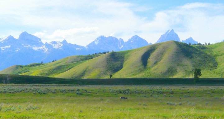
Yellowstone and Grand Tetons

Mraz3-38
House of the Minotaur, Laumeier Sculpture Park, St. Louis, MO (DTB_0368)
Topographic Map of Whippoorwill Hill Dr, High Ridge, MO, USA
Find elevation by address:

Places near Whippoorwill Hill Dr, High Ridge, MO, USA:
High Ridge Township
5600 Lost Rd
7951 Jim Weber Rd
802 Eureka Rd
3720 Narragansett Dr
Silverstone Trails Dr, Byrnes Mill, MO, USA
806 Eureka Rd
Byrnes Mill
High Ridge
3408 High Ridge Blvd
Big River View, Eureka, MO, USA
5433 Old Hunning Rd
5433 Old Hunning Rd
5405 Dillon Rd
6098 Timber Hollow Ln
5433 Hunning Rd
5305 Hunning Rd
2808 Schumacher Ln
2808 Schumacher Ln
2808 Schumacher Ln
Recent Searches:
- Elevation of Congressional Dr, Stevensville, MD, USA
- Elevation of Bellview Rd, McLean, VA, USA
- Elevation of Stage Island Rd, Chatham, MA, USA
- Elevation of Shibuya Scramble Crossing, 21 Udagawacho, Shibuya City, Tokyo -, Japan
- Elevation of Jadagoniai, Kaunas District Municipality, Lithuania
- Elevation of Pagonija rock, Kranto 7-oji g. 8"N, Kaunas, Lithuania
- Elevation of Co Rd 87, Jamestown, CO, USA
- Elevation of Tenjo, Cundinamarca, Colombia
- Elevation of Côte-des-Neiges, Montreal, QC H4A 3J6, Canada
- Elevation of Bobcat Dr, Helena, MT, USA