Elevation of Whaletown Rd, Whaletown, BC V0P 1Z0, Canada
Location: Canada > British Columbia > Strathcona > Comox-strathcona I > Whaletown >
Longitude: -125.05171
Latitude: 50.1071195
Elevation: 12m / 39feet
Barometric Pressure: 101KPa
Elevation Map:
Satellite Map:
Related Photos:
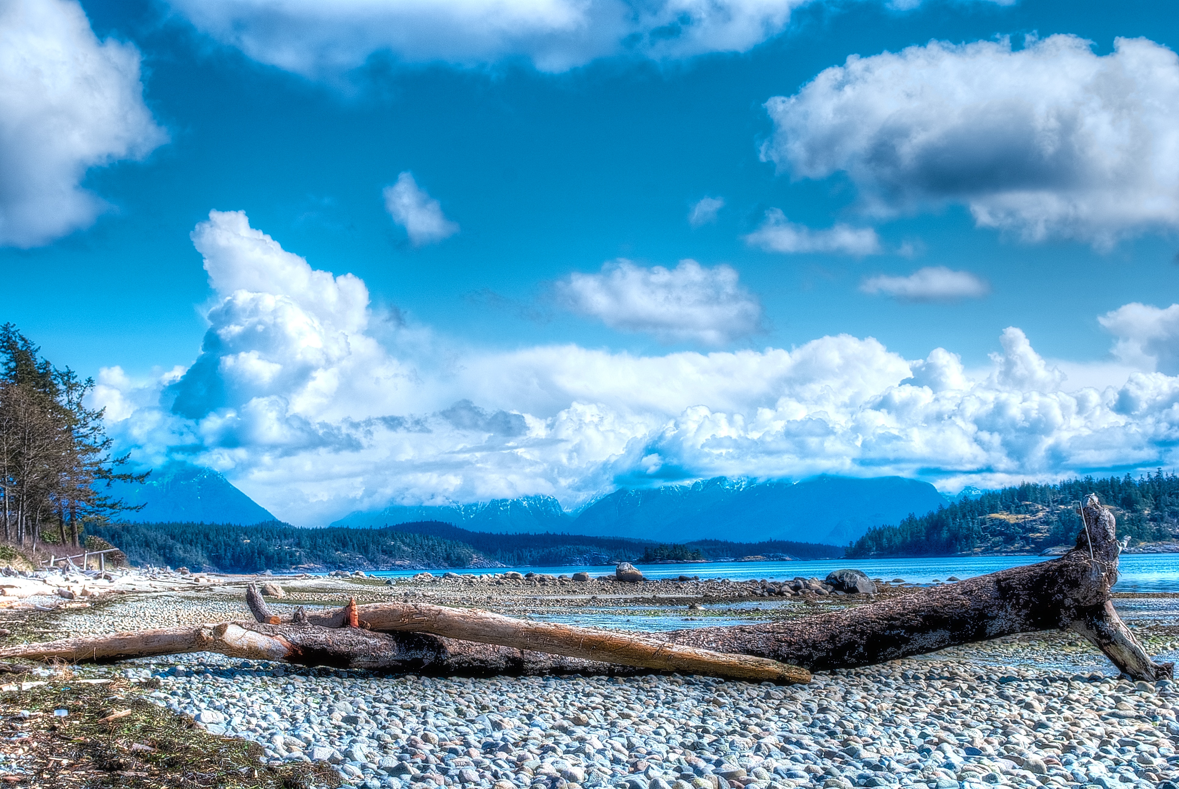
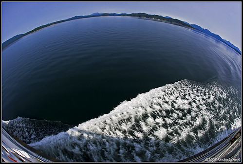
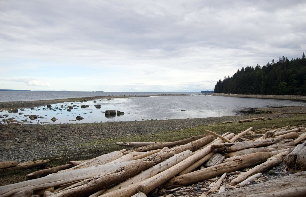
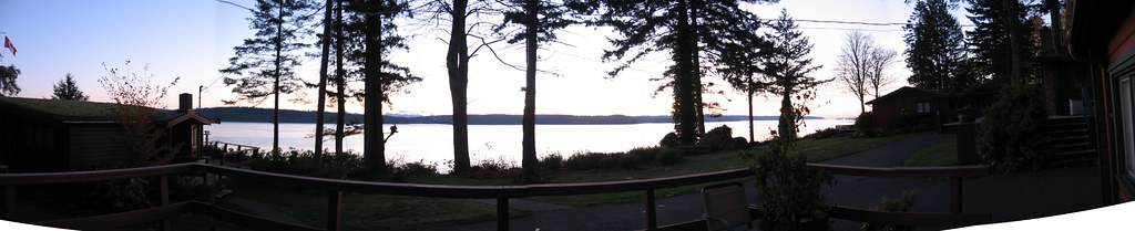
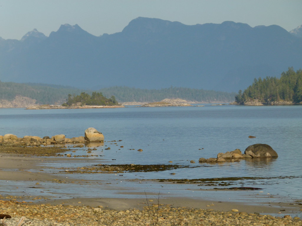
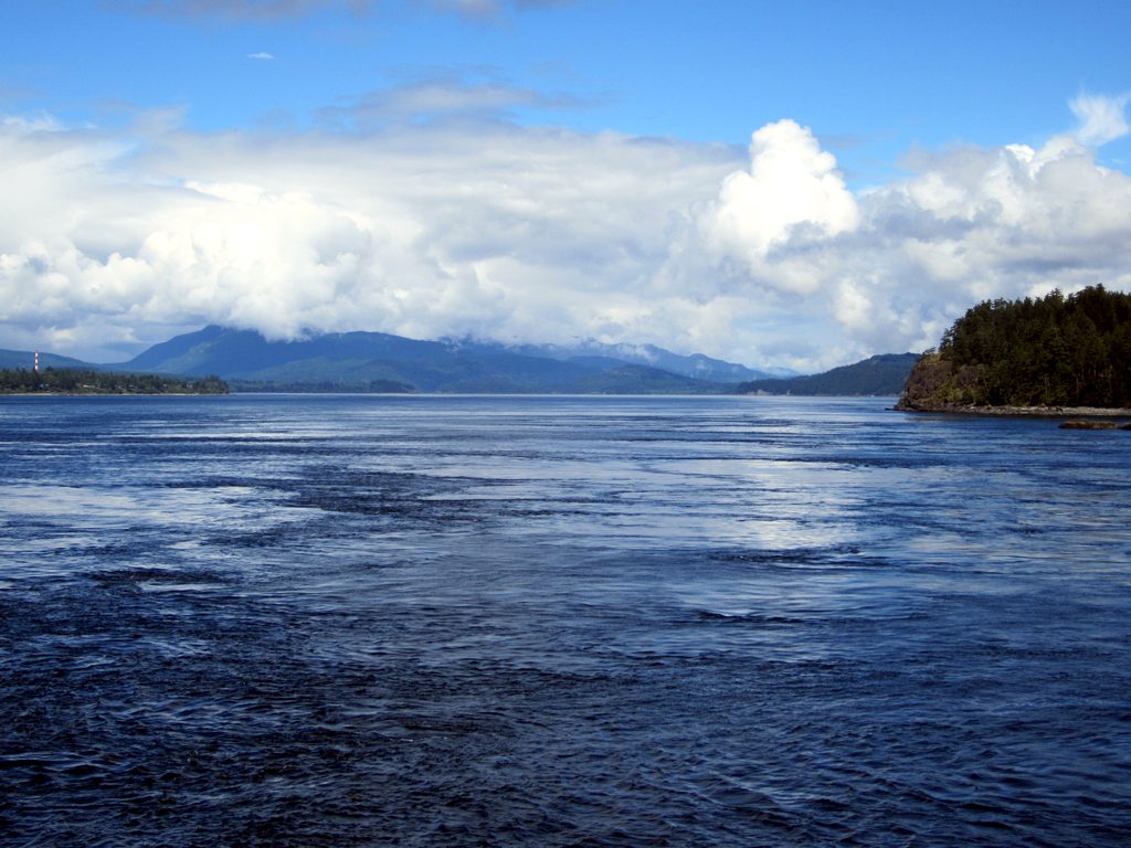
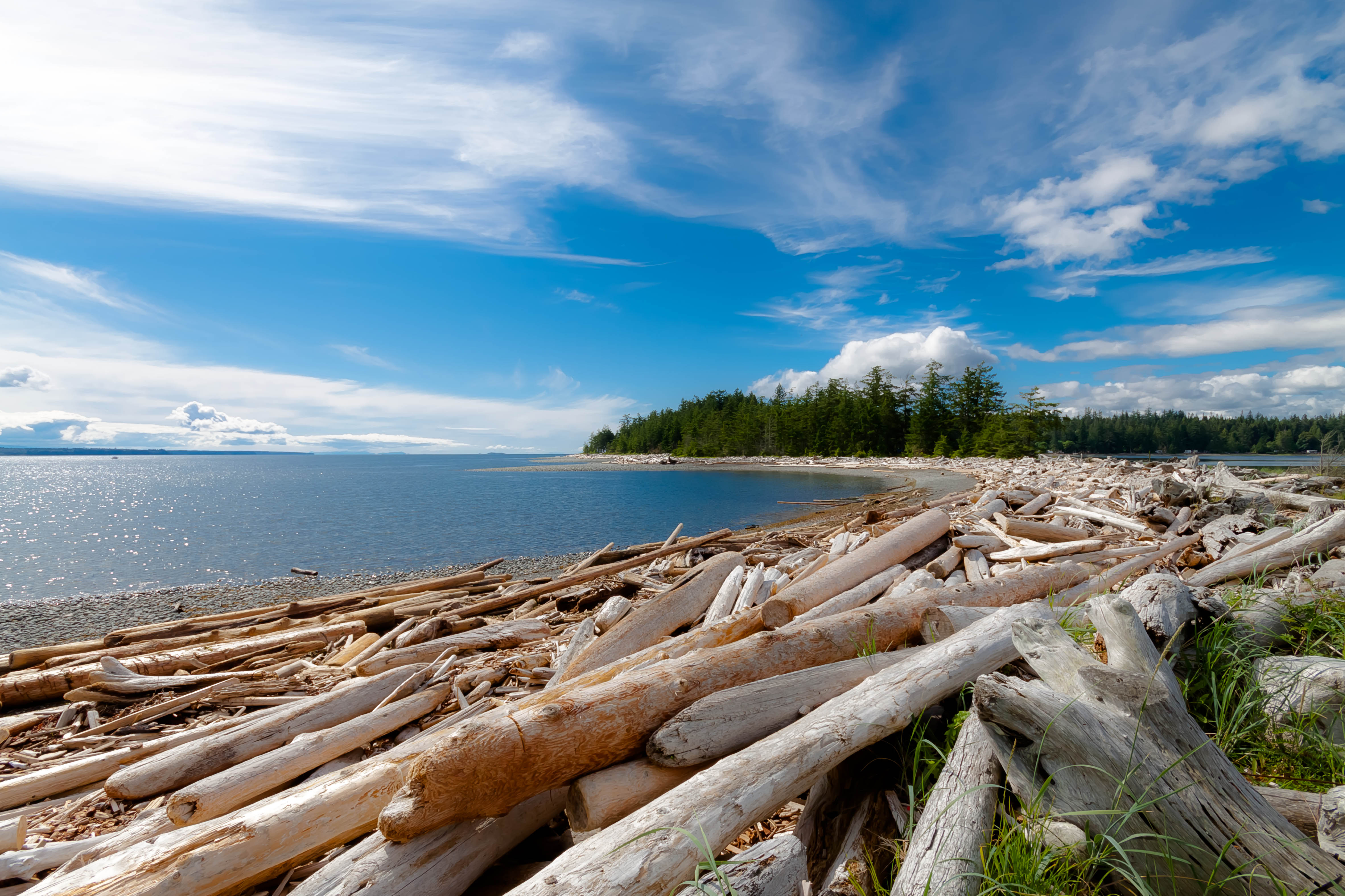
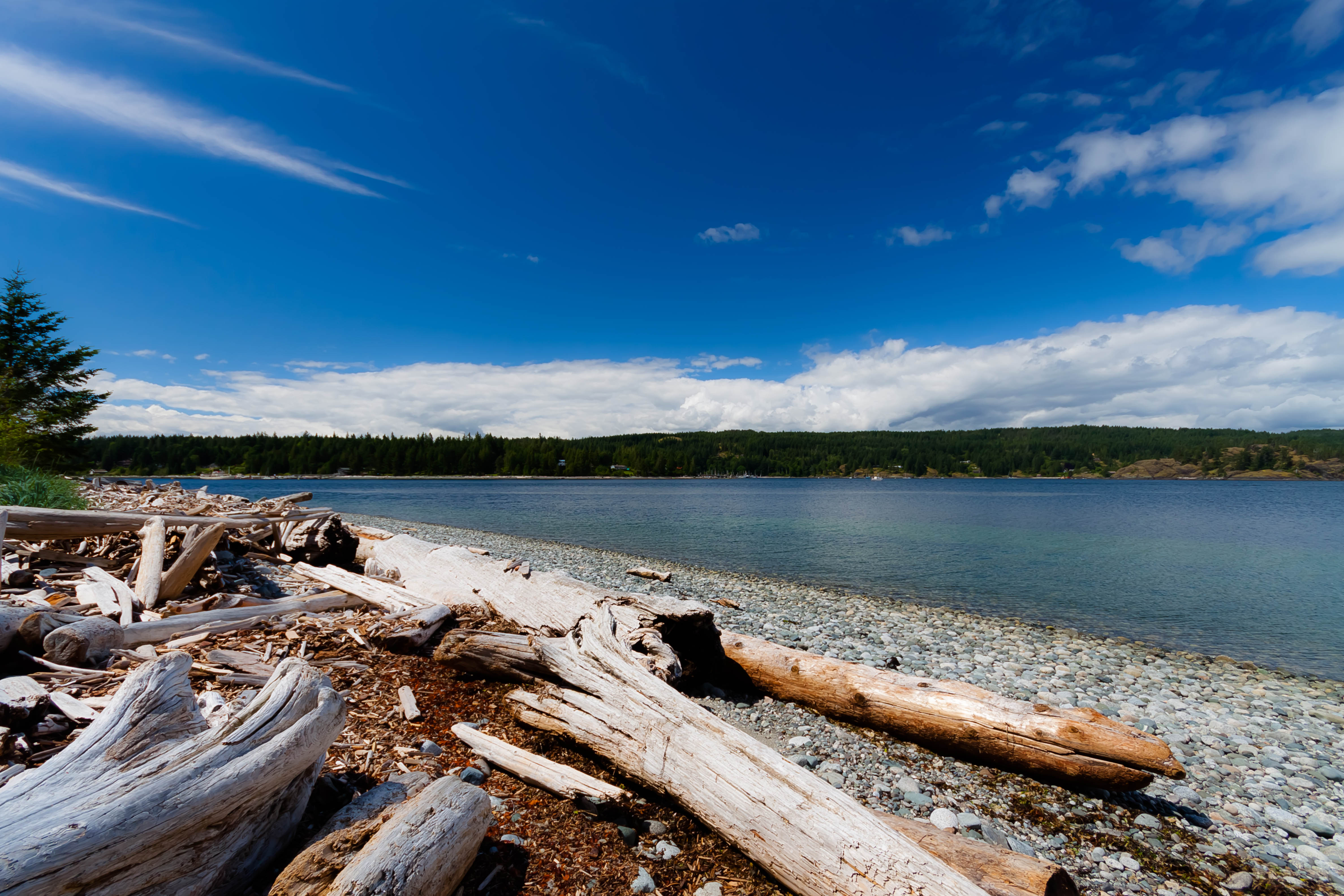
View From The Waterline

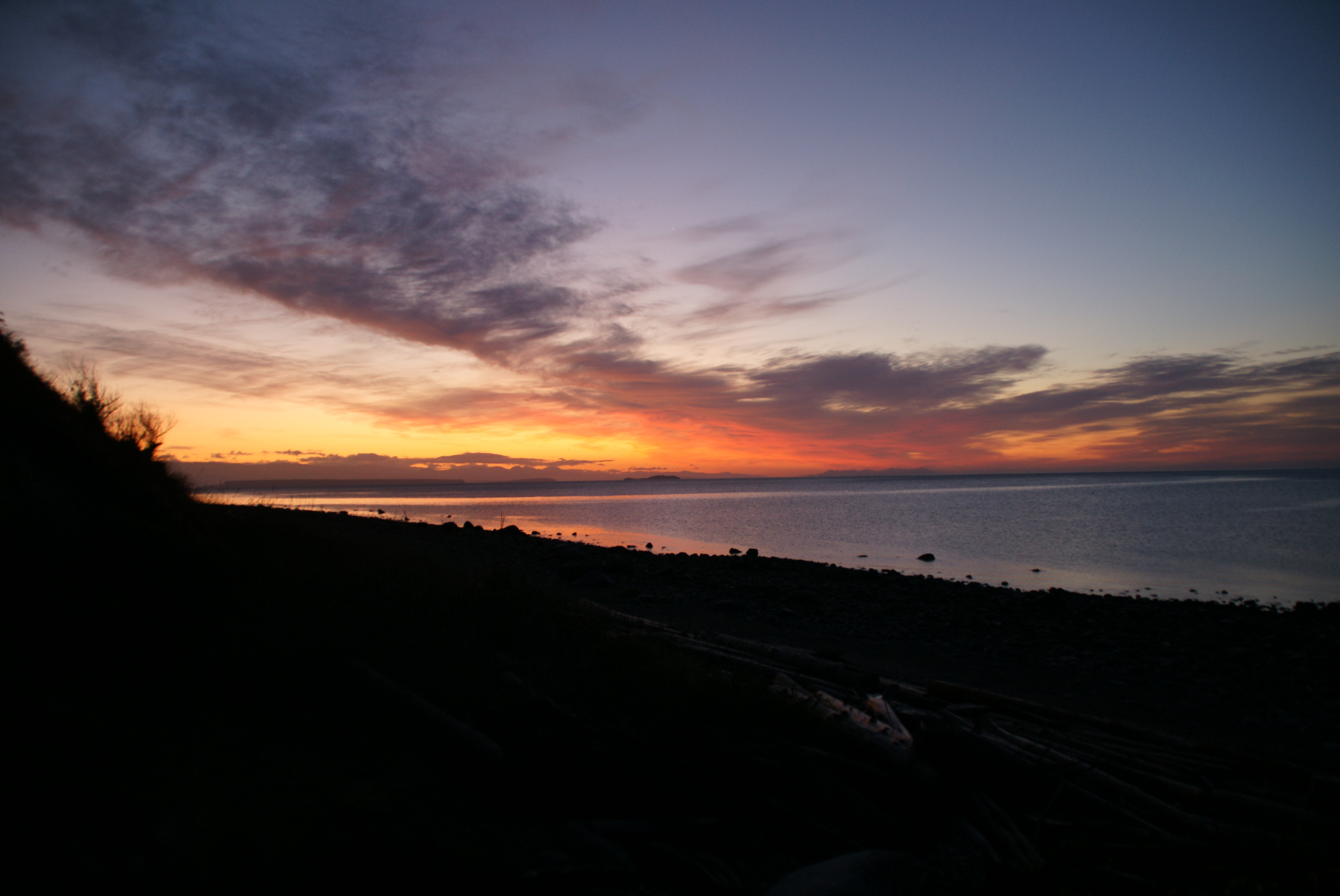
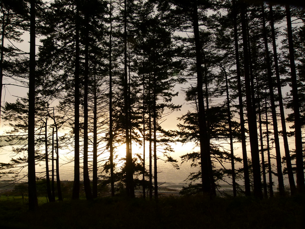
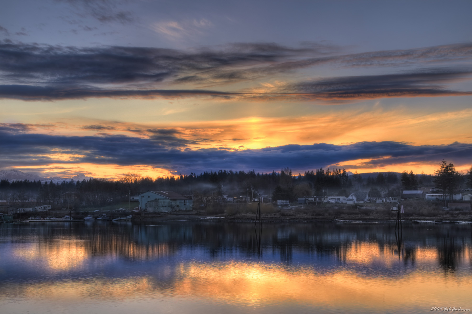
Discovery Passage Sunset
The view @GowllandHarbour - love it! We'll be enjoying a #localfood feast here at #GowllandNov8 ... #BonVivantEatsQuadra

Room with a view April Point Resort, Quadra Island #aprilpointresort #igers
a beautiful sunrise view
grand view of sunrise
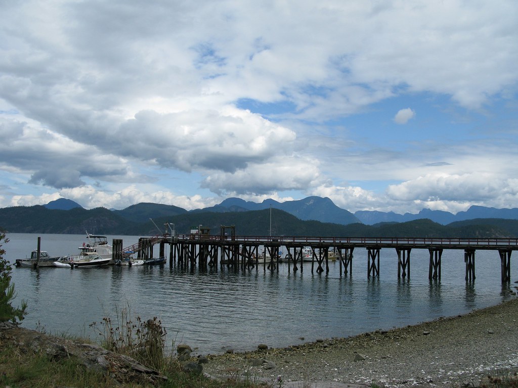
Ferry World

View from Rebecca Spit, Quadra
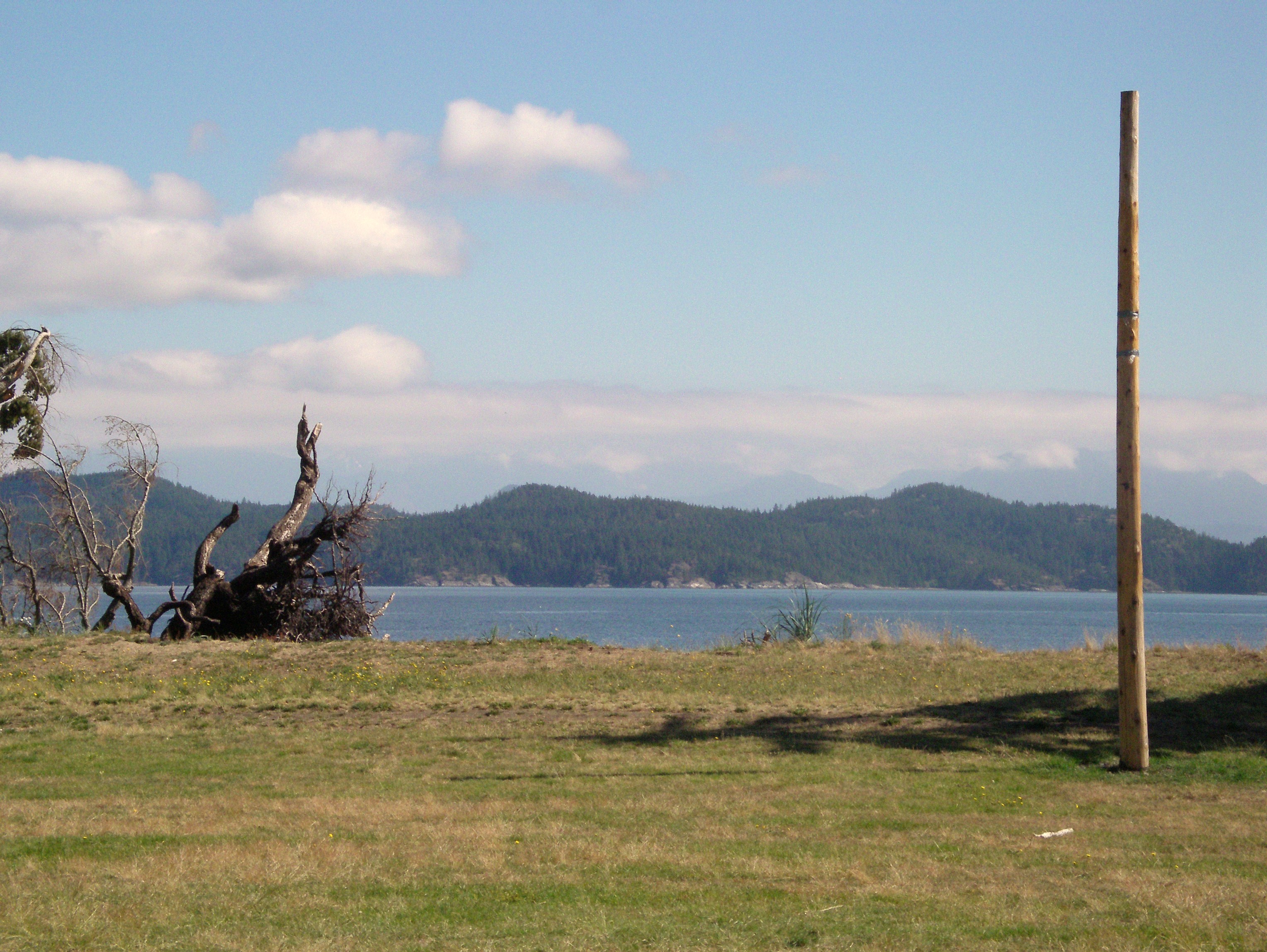
Entering Whaletown
Spring on Gunflint Lake
View of dining room with tents camped out underneath it
Rebecca Spit
View from Rebecca Spit, Quadra

View from Rebecca Spit, Quadra
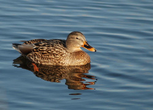
Female Mallard time out
Dolphins Resort

Campbell River, View from April Point
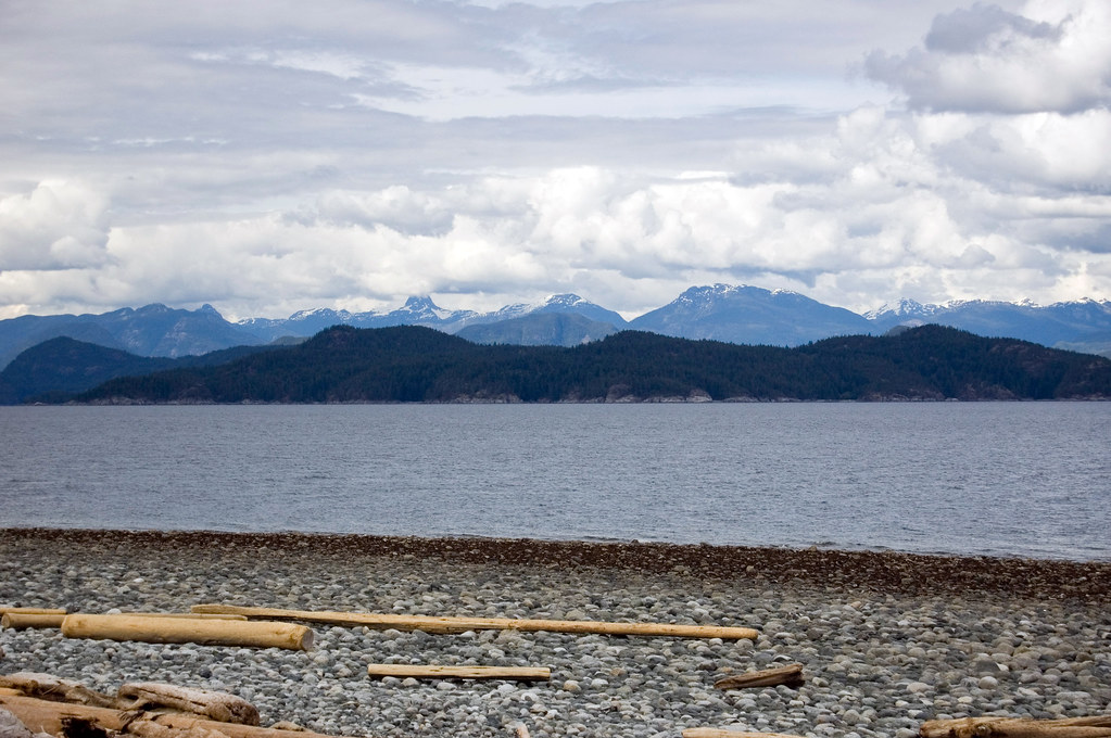
Mountain view from Hollyhock beach

Downtown!
Green Belt

View from April Point pub across the Discovery Passage to Campbell river
Squirrel Cove
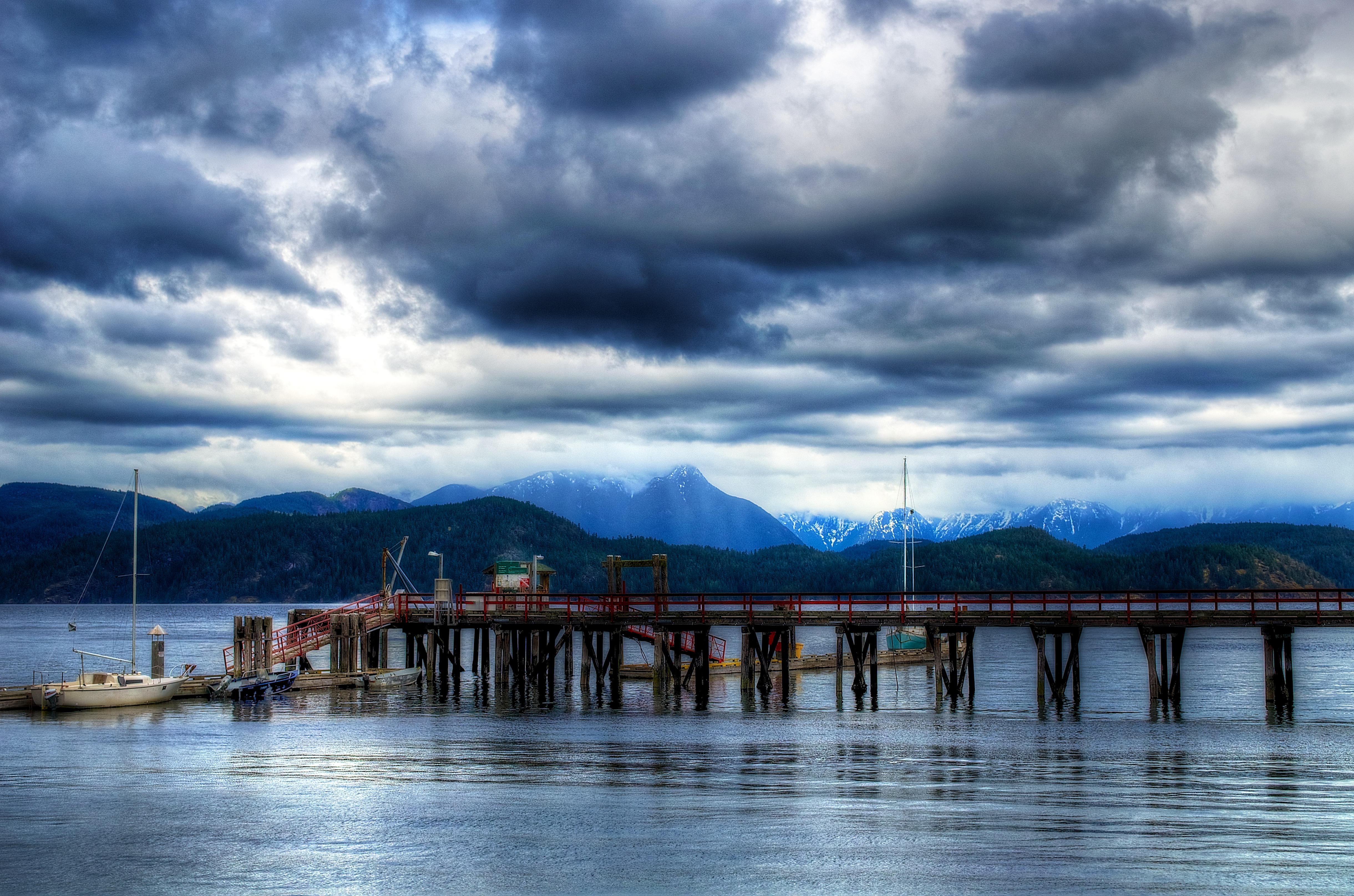
There's A Storm Comin'
Discovery Channel
Sunrise, like a Tom Thomson painting

Last Light

Block of mangled layers
WA Kaley Taku 110
20100826_4467.jpg

Out of the mist
Rebecca Spit Marine Provincial Park

2011-09-23-DSC_6449
WA Kaley Taku 116

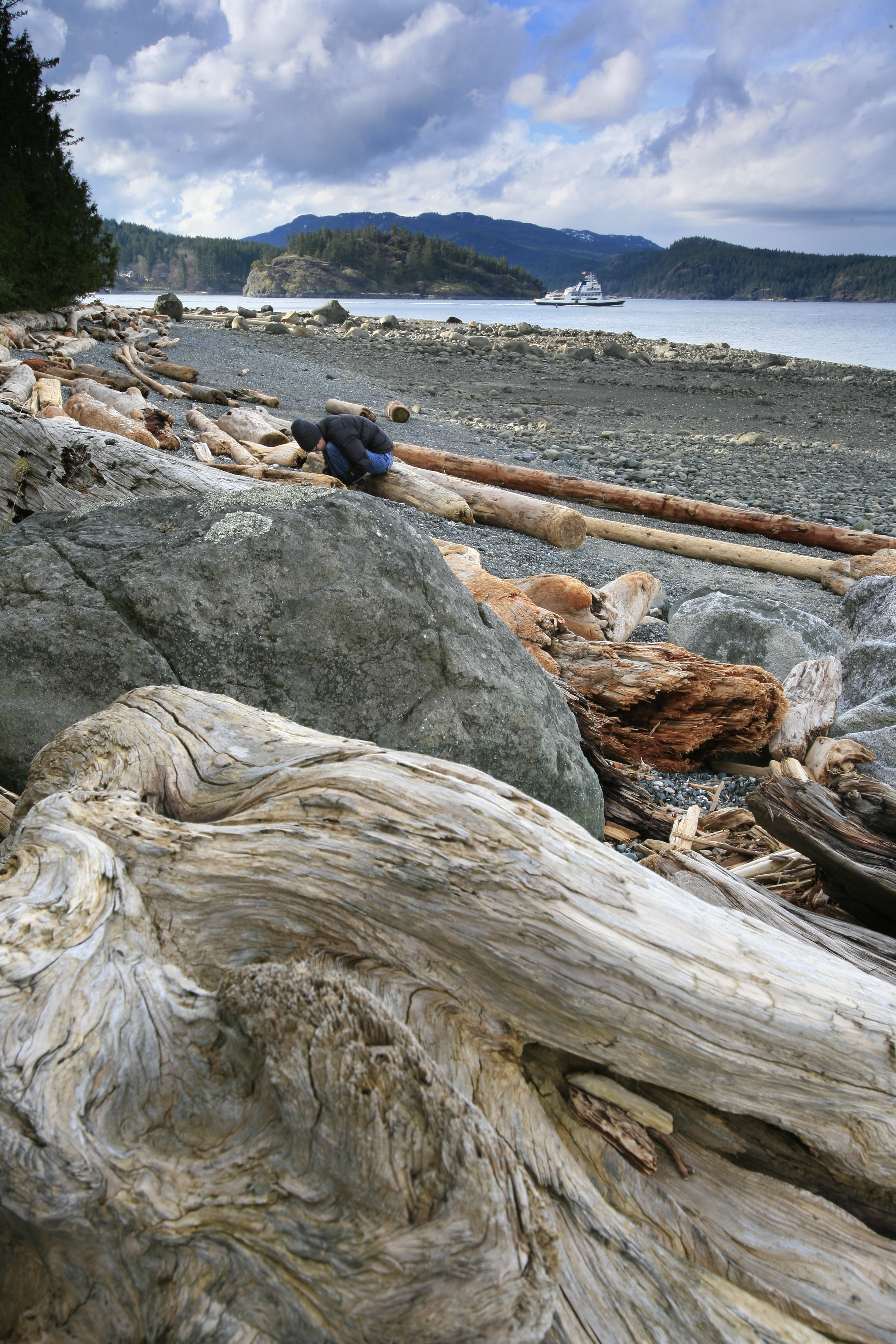
Quadra island
2009 feb 14 No1
Squirrel Cove
Rebecca Spit Marine Provincial Park

Chinese Mountains (Quadra Island)

Canadian Geese in Flight
Topographic Map of Whaletown Rd, Whaletown, BC V0P 1Z0, Canada
Find elevation by address:

Places near Whaletown Rd, Whaletown, BC V0P 1Z0, Canada:
Whaletown
Quartz Bay
Comox-strathcona I
Desolation Sound
9082 Clarkson Ave
Indian Point
4795 Lewis Rd
Saratoga Road
Regent Road
2496 Glenmore Rd
Miracle Beach Provincial Park
Paulsen Rd, Black Creek, BC V9J 1J8, Canada
Black Creek
1616 Constitution Rd
Lund
1511 A
6437 Rennie Rd
6437 Rennie Rd
6437 Rennie Rd
6437 Rennie Rd
Recent Searches:
- Elevation of Corso Fratelli Cairoli, 35, Macerata MC, Italy
- Elevation of Tallevast Rd, Sarasota, FL, USA
- Elevation of 4th St E, Sonoma, CA, USA
- Elevation of Black Hollow Rd, Pennsdale, PA, USA
- Elevation of Oakland Ave, Williamsport, PA, USA
- Elevation of Pedrógão Grande, Portugal
- Elevation of Klee Dr, Martinsburg, WV, USA
- Elevation of Via Roma, Pieranica CR, Italy
- Elevation of Tavkvetili Mountain, Georgia
- Elevation of Hartfords Bluff Cir, Mt Pleasant, SC, USA