Elevation of Westfield Rd, Mt Airy, NC, USA
Location: United States > North Carolina > Surry County > Mount Airy > Mount Airy >
Longitude: -80.574246
Latitude: 36.4903051
Elevation: 330m / 1083feet
Barometric Pressure: 97KPa
Elevation Map:
Satellite Map:
Related Photos:

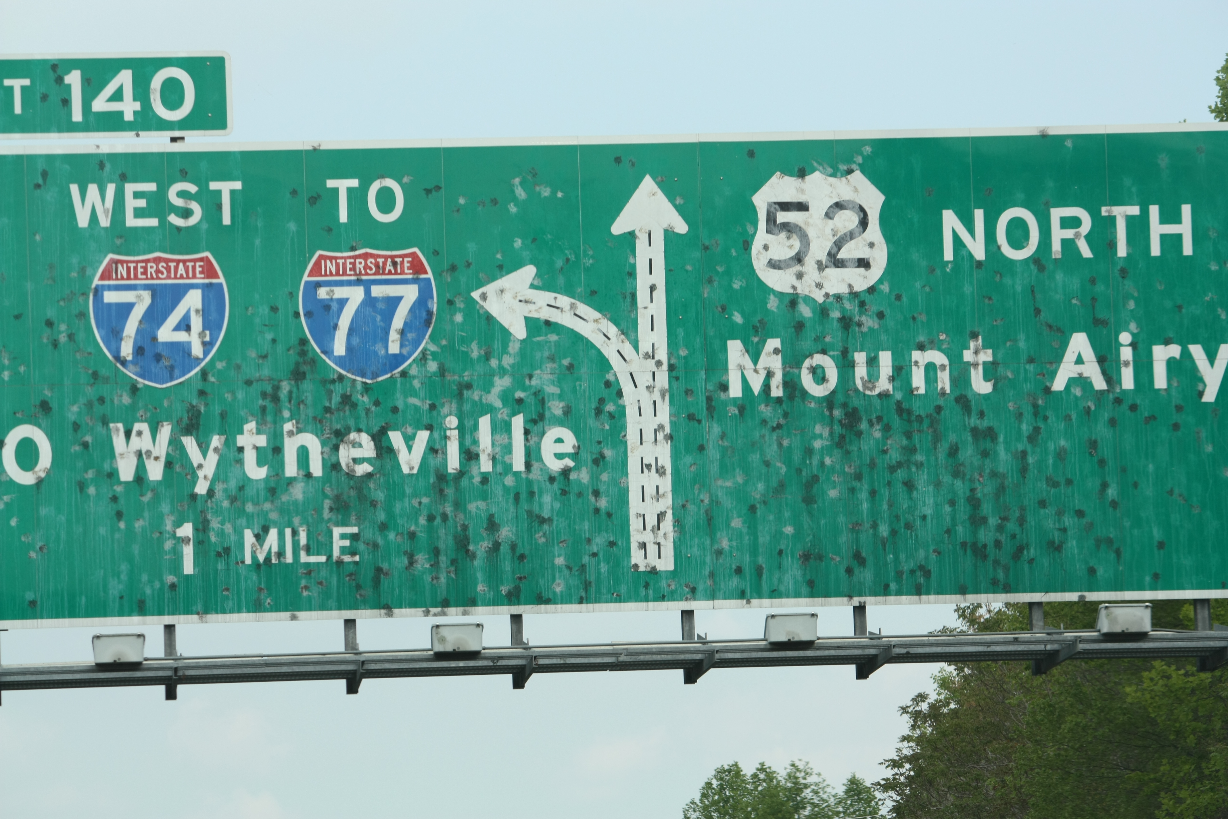
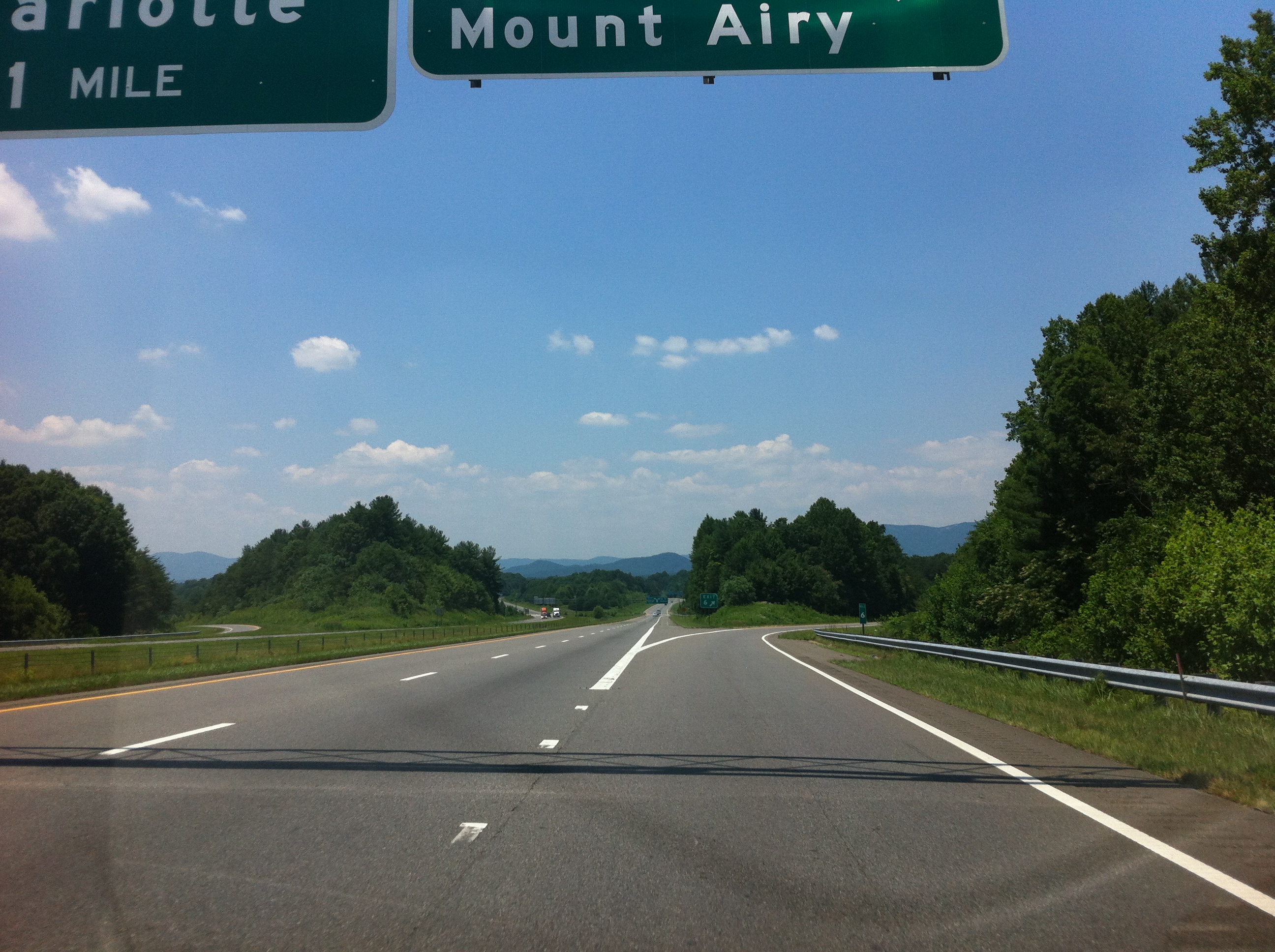
North Carolina | Mount Airy

Bank of Mount Airy

Waning Cresent
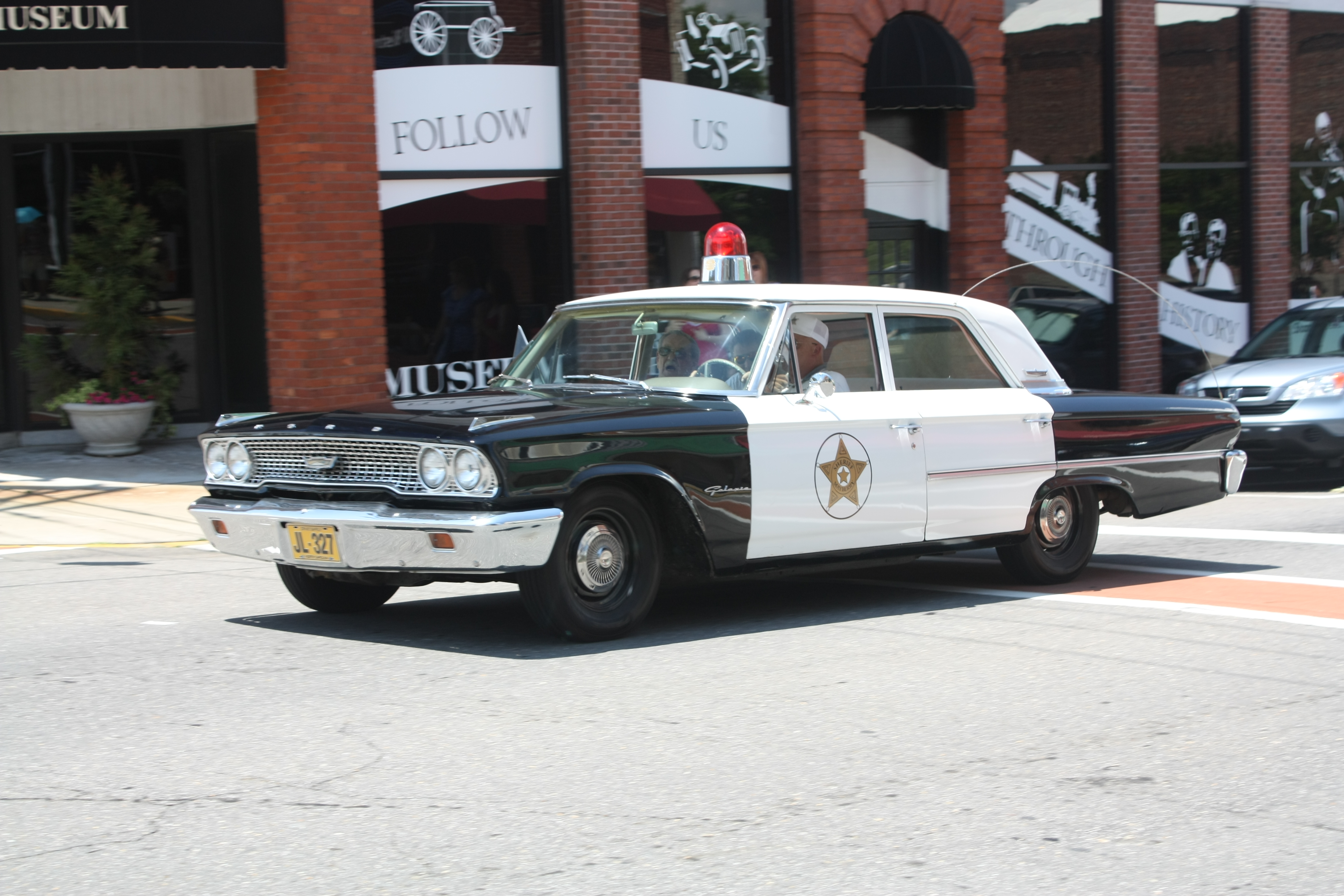
Mayberry Police Car

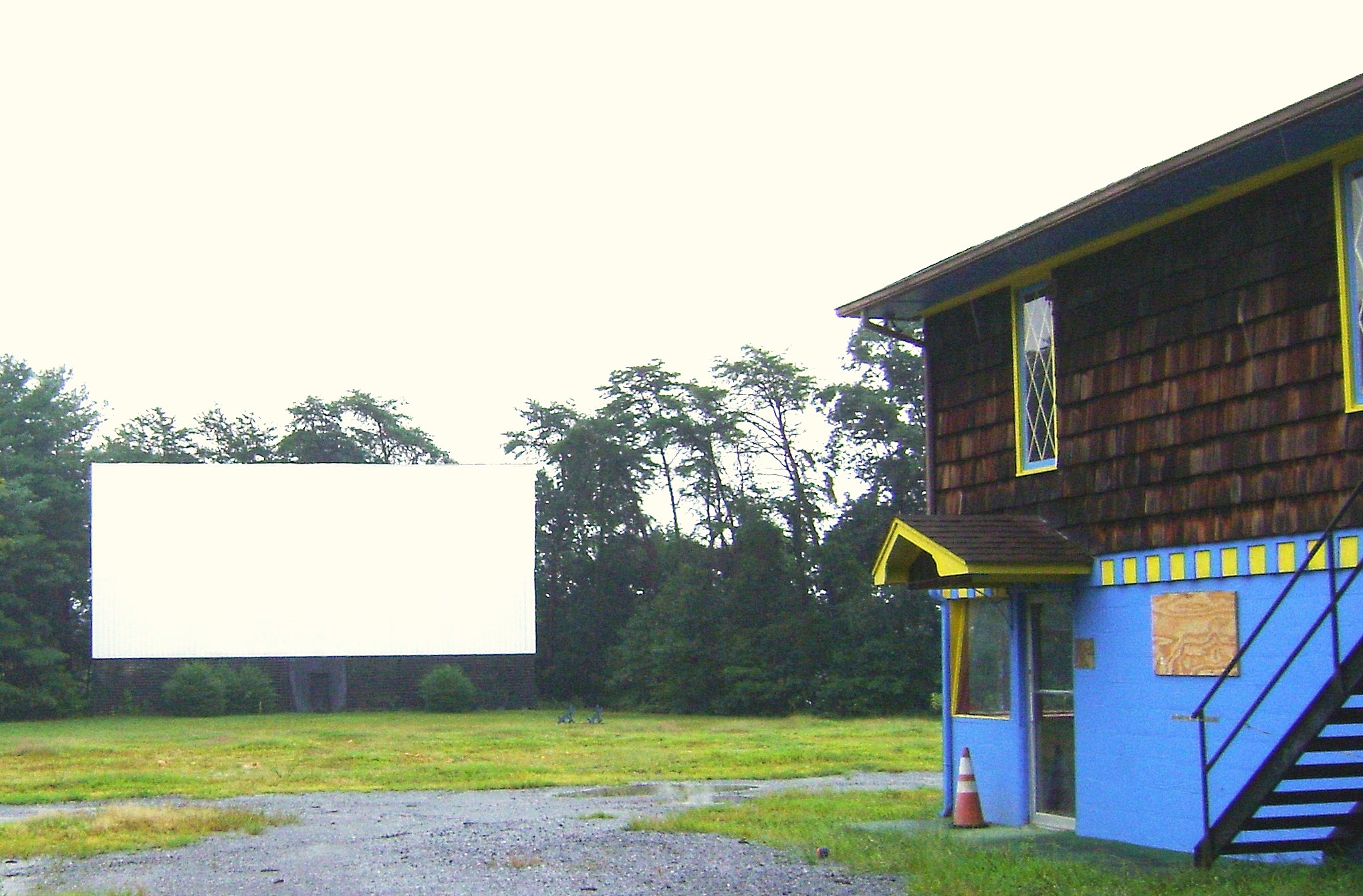
Bright Leaf Drive-In, Mt. Airy, NC, 2000
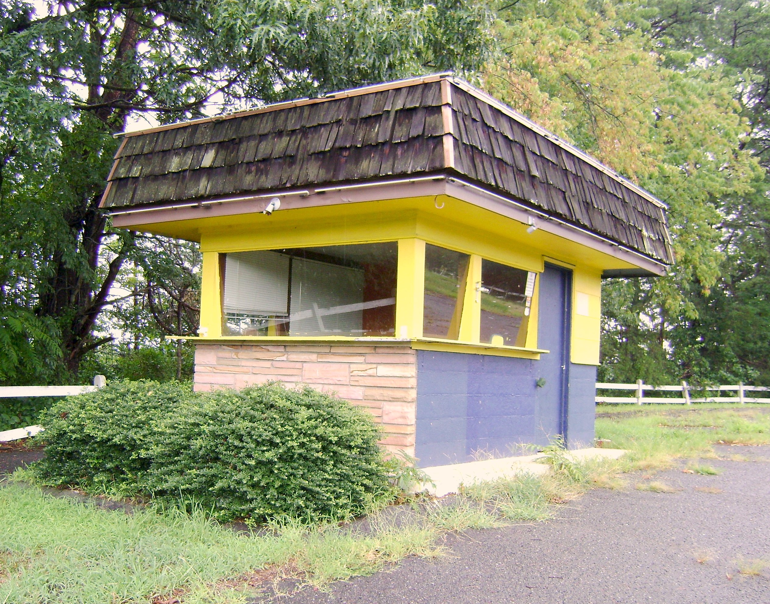
Bright Leaf Drive In, Mt Airy NC, Surry County, Closed

A stellar view of Pilot Mountain from -where else?- a Wendy's parking lot between Pilot Mtn. and Mount Airy.
From Above
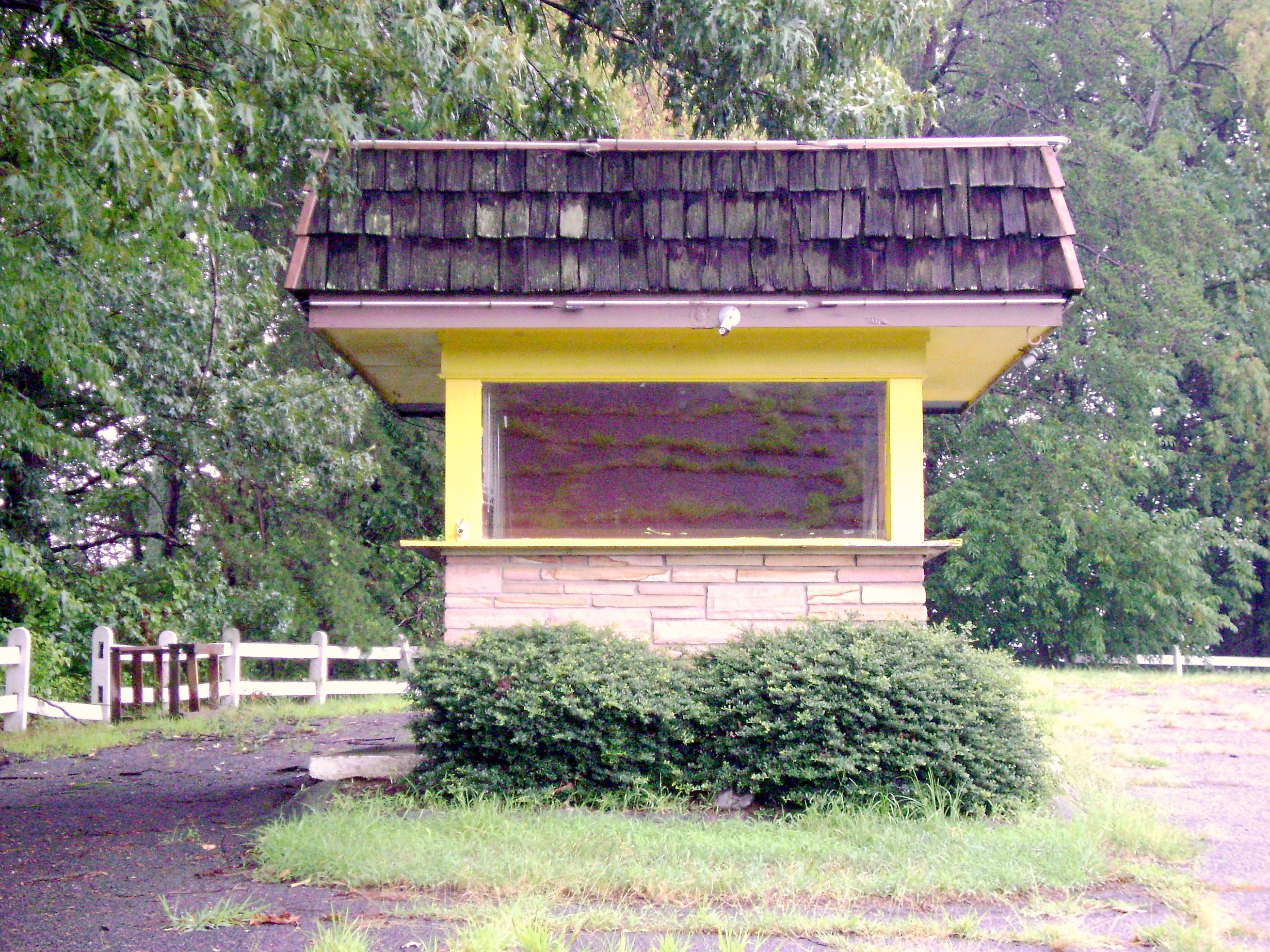
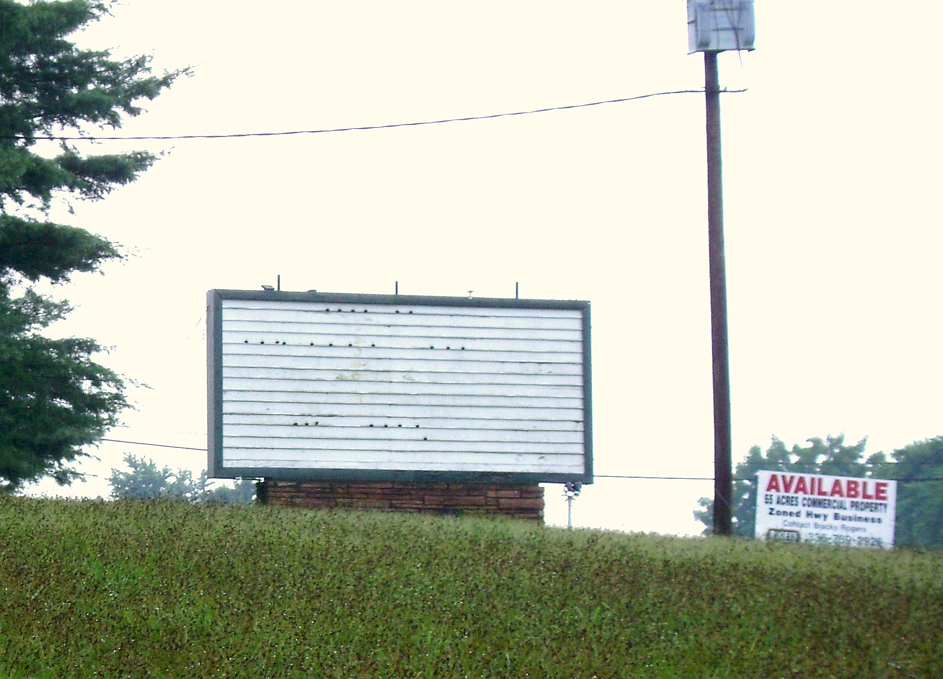
Bright Leaf Drive In, Mt Airy NC, Surry County, Closed

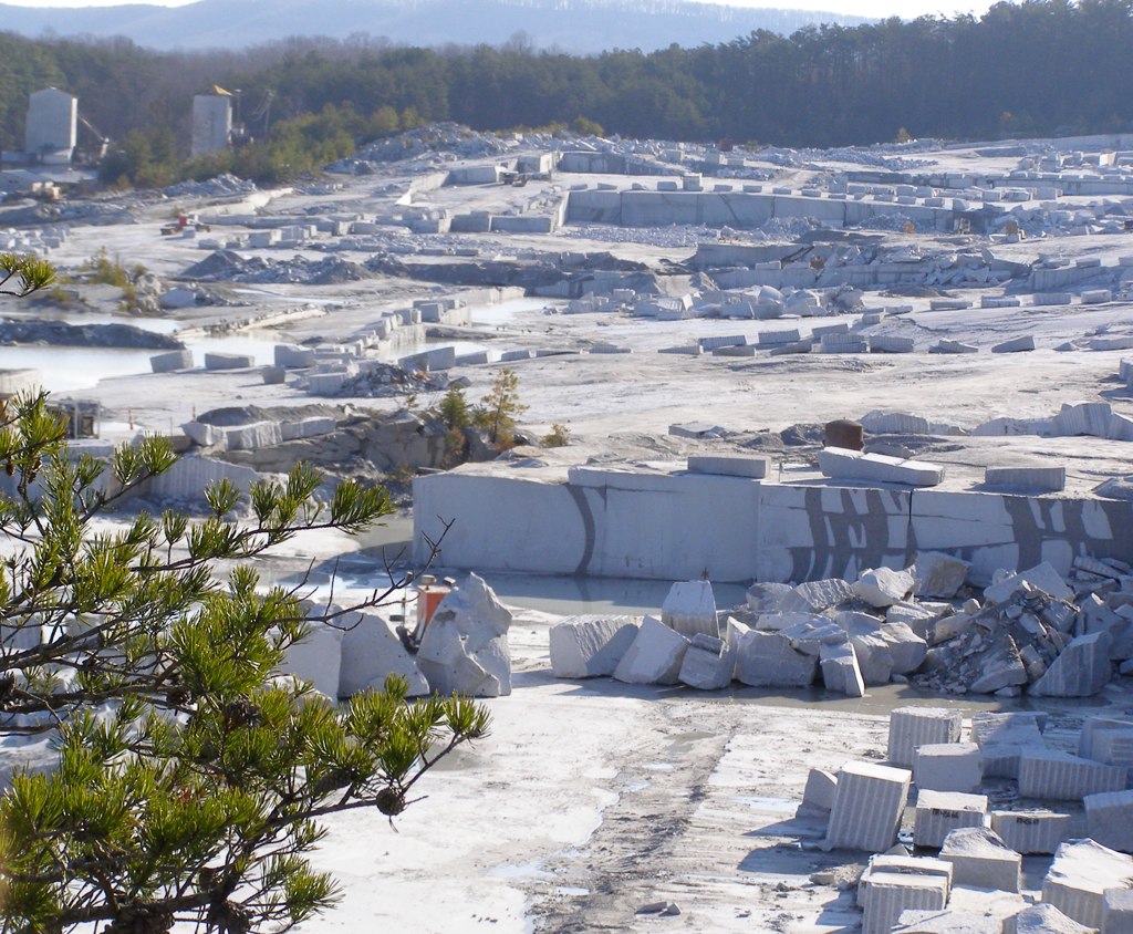
Granite Headquarters

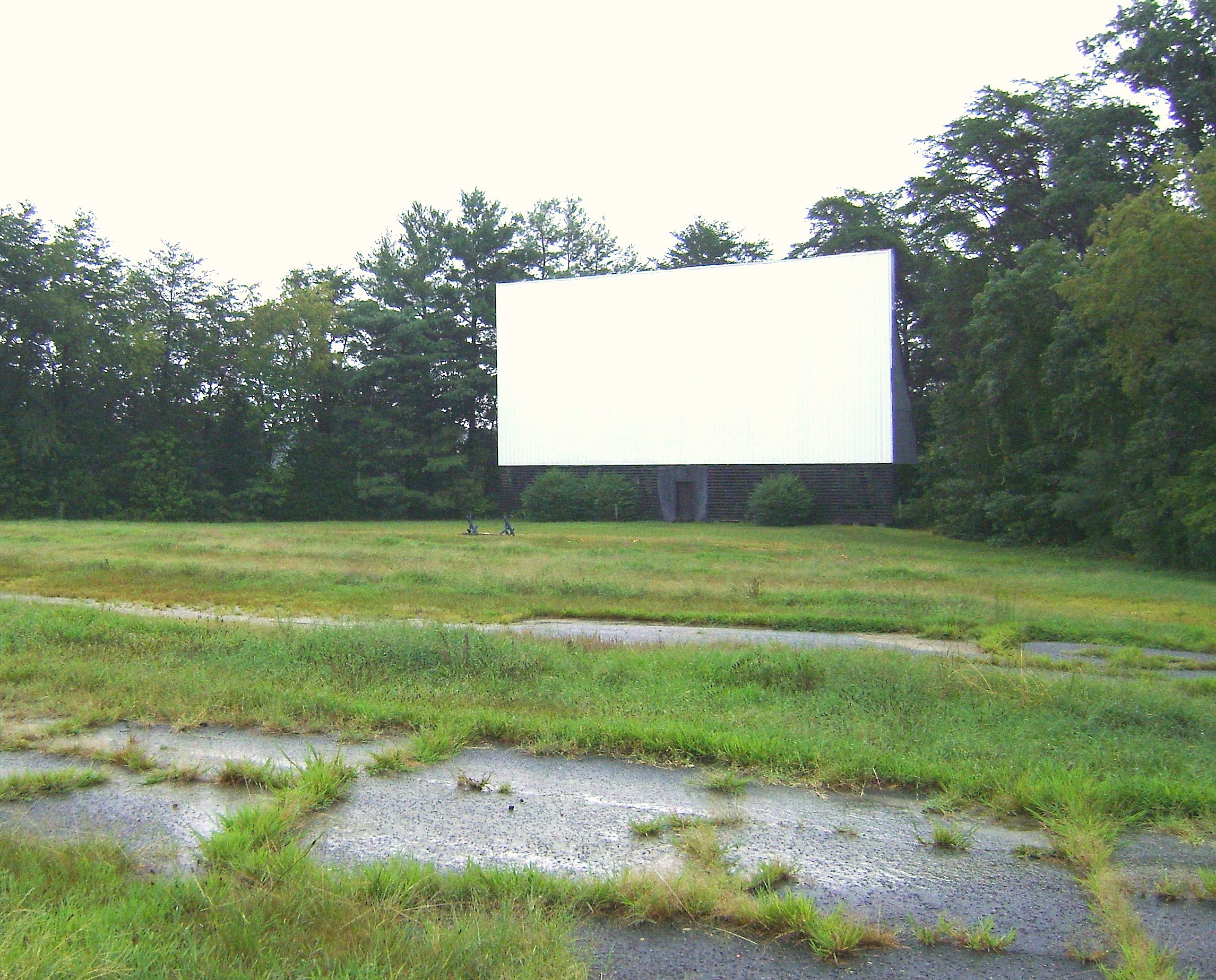
Bright Leaf Drive In, Mt Airy NC, Surry County, Closed
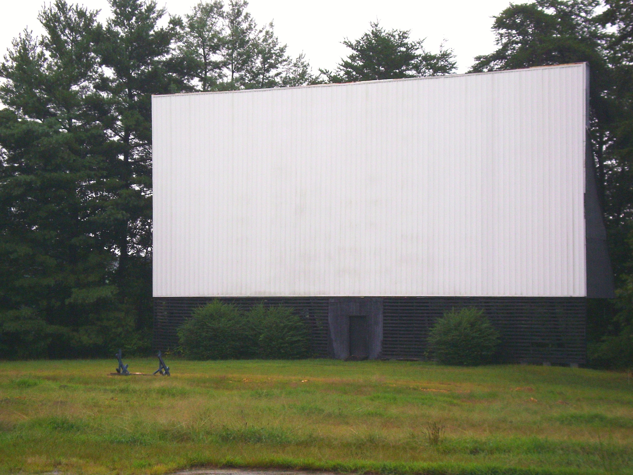
Bright Leaf Drive In, Mt Airy NC, Surry County, Closed
Bright Leaf Drive In, Mt Airy NC, Surry County, Closed
Bright Leaf Drive In, Mt Airy NC, Surry County, Closed
Bright Leaf Drive In, Mt Airy NC, Surry County, Closed

Bright Leaf Drive In, Mt Airy NC, Surry County, Closed
When birds attack....
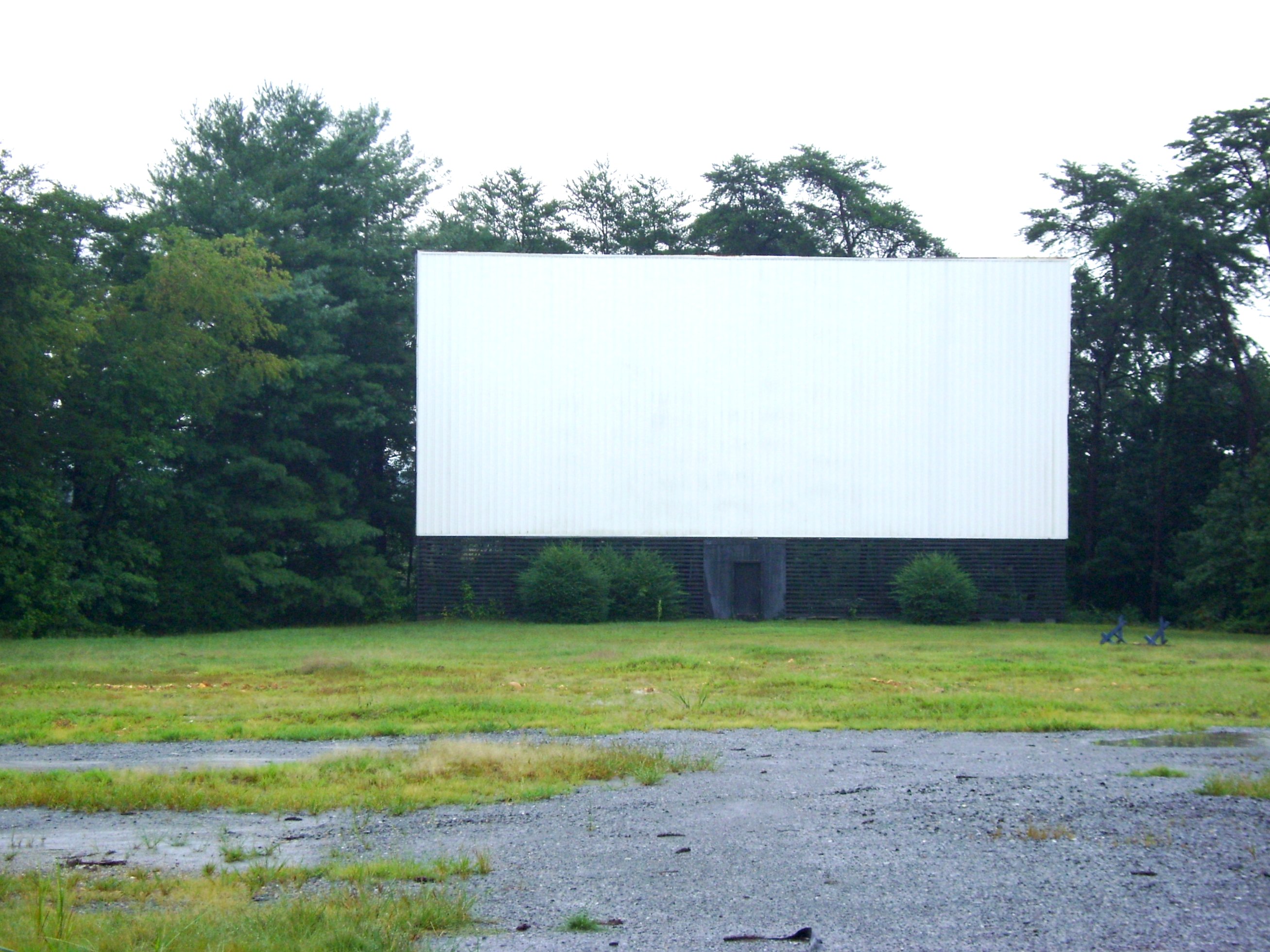
Bright Leaf Drive In, Mt Airy NC, Surry County, Closed
this view doesn't suck...

Walk Into The Sun
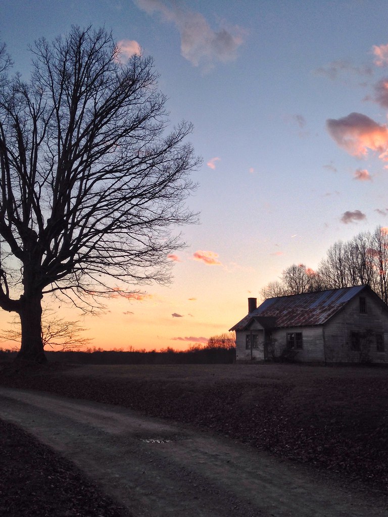
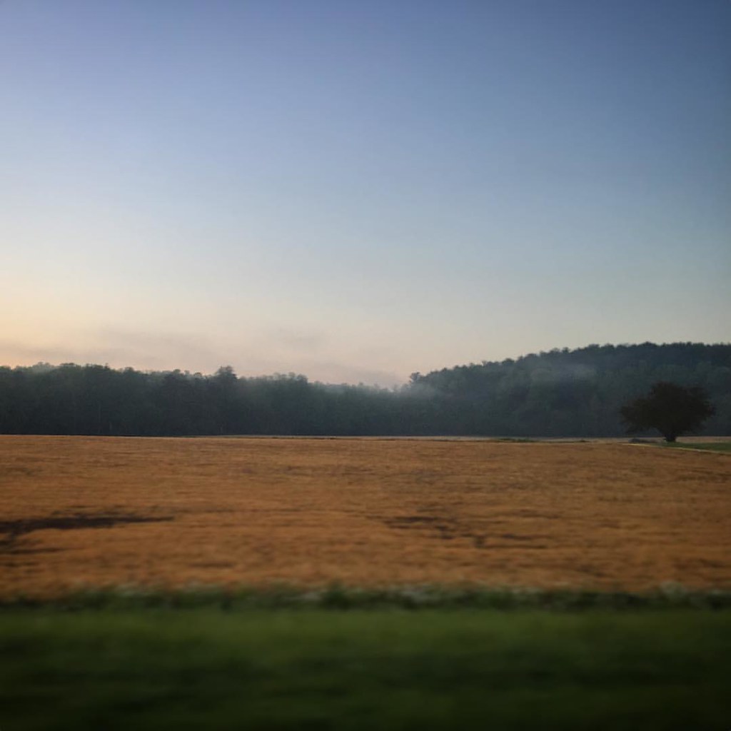
Country Evening
Good morning!
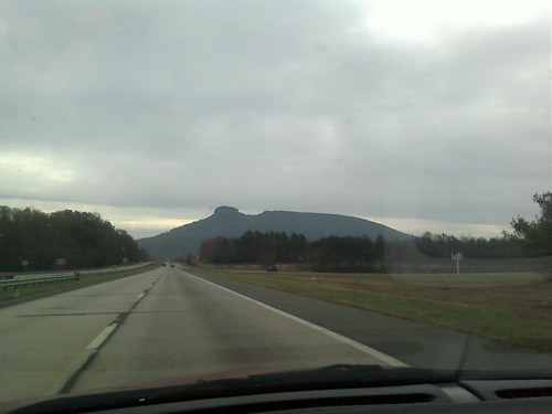
Pilot mountain.
Distant Sun Rays
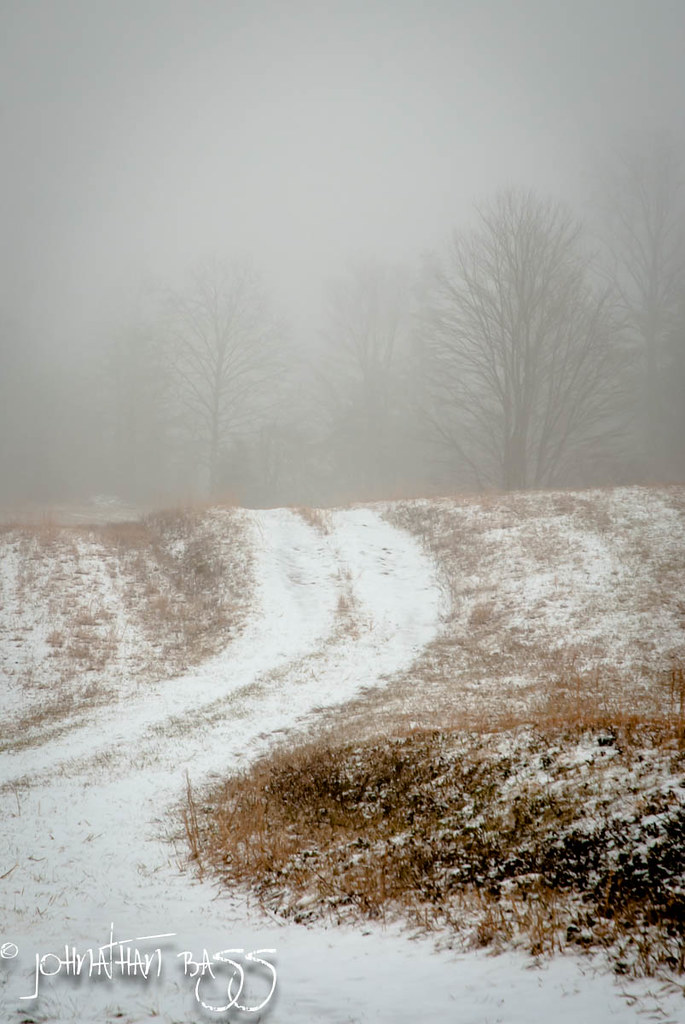
Snowy Path to the Fog
Chestnut Ridge Sunrise

Because there aren't enough pretty #sunset pictures on Instagram...

Fields of Green

State Line Sunset

Sunrise 1/26/13
Mount Pilot

DSC_0139, DSC_0140, DSC_0141 (1).jpg

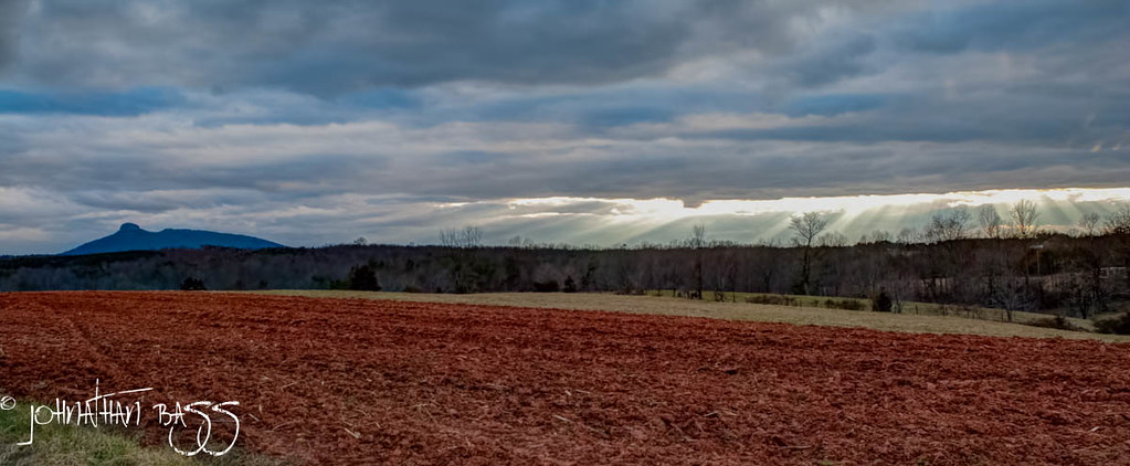
Sunrays 2/28/13

Dan River at the Flippin Road bridge
Blue Ridge Mountains
Devils Tower
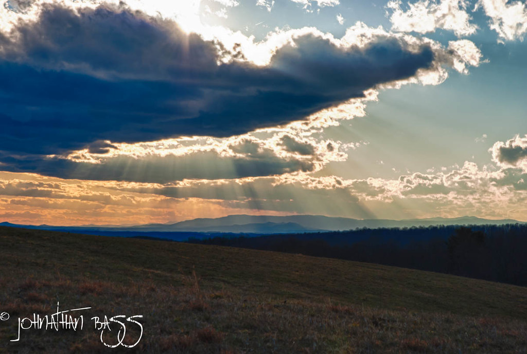
Rays Across the Blue Ridge

Snow Topped Blue Ridge
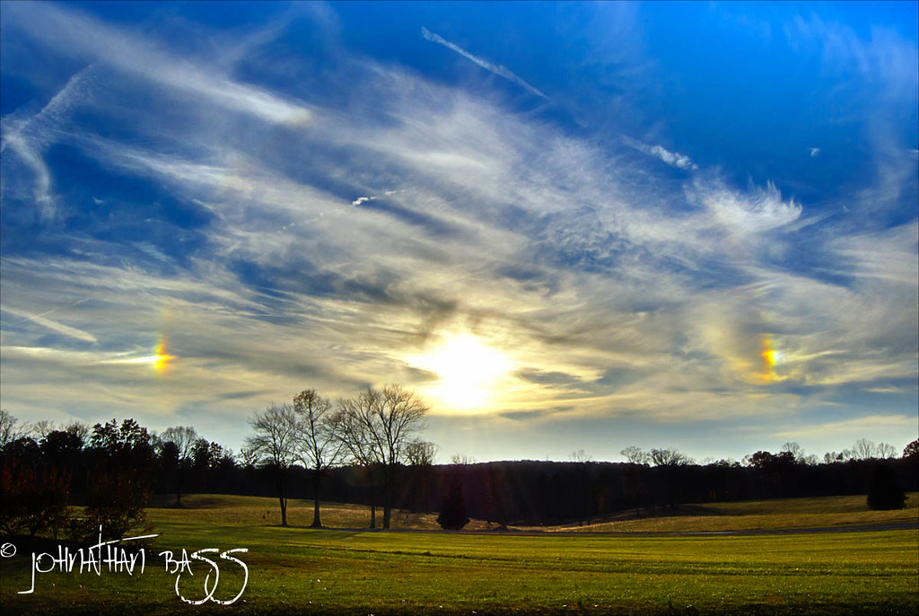
Sun Dogs
Topographic Map of Westfield Rd, Mt Airy, NC, USA
Find elevation by address:

Places near Westfield Rd, Mt Airy, NC, USA:
2125 Westfield Rd
1921 Westfield Rd
Boulder Rd, Mt Airy, NC, USA
S Main St, Mt Airy, NC, USA
194 Brenda Dr
E Pine St, Mt Airy, NC, USA
152 Red Oak Trail
100 S Main St
Mount Airy
153 Glen Terrace
Mt Airy, NC, USA
1411 Reeves Mill Rd
1056 N Main St
Mount Airy
176 Brewster Ln
976 Sheep Farm Rd
W Pine St, Mt Airy, NC, USA
533 Crossingham Rd
Wards Gap Rd, Mt Airy, NC, USA
155 Wagoner Dr
Recent Searches:
- Elevation of Sadovaya Ulitsa, 20, Rezh, Sverdlovskaya oblast', Russia
- Elevation of Ulitsa Kalinina, 79, Rezh, Sverdlovskaya oblast', Russia
- Elevation of 72-31 Metropolitan Ave, Middle Village, NY, USA
- Elevation of 76 Metropolitan Ave, Brooklyn, NY, USA
- Elevation of Alisal Rd, Solvang, CA, USA
- Elevation of Vista Blvd, Sparks, NV, USA
- Elevation of 15th Ave SE, St. Petersburg, FL, USA
- Elevation of Beall Road, Beall Rd, Florida, USA
- Elevation of Leguwa, Nepal
- Elevation of County Rd, Enterprise, AL, USA