Elevation of West Rocky Top Road, W Rocky Top Rd, Fort Gibson, OK, USA
Location: United States > Oklahoma > Fort Gibson >
Longitude: -95.160547
Latitude: 35.8419106
Elevation: 228m / 748feet
Barometric Pressure: 99KPa
Elevation Map:
Satellite Map:
Related Photos:

Bedside view

Intimidating Bow of USS Batfish

Bridge Art

subie and snowshoe tracks at wahoo bay

Oklahoma Drought (flickr blog 8/1/11, Explored #257, 8/5/11)
Sequoyah State Park 8/9/18 #oklahoma

Rocks and Shadow, Sequoyah State Park

Sequoyah Park Sunset
Sequoyah State Park, Hulbert, OK #oklahoma #trees

Ranch, Hulbert, OK

Sequoyah State Park #oklahoma

Ranch Landscape, Hulbert, OK

Landscape, Hulbert, OK
dam pics 158

Run-off
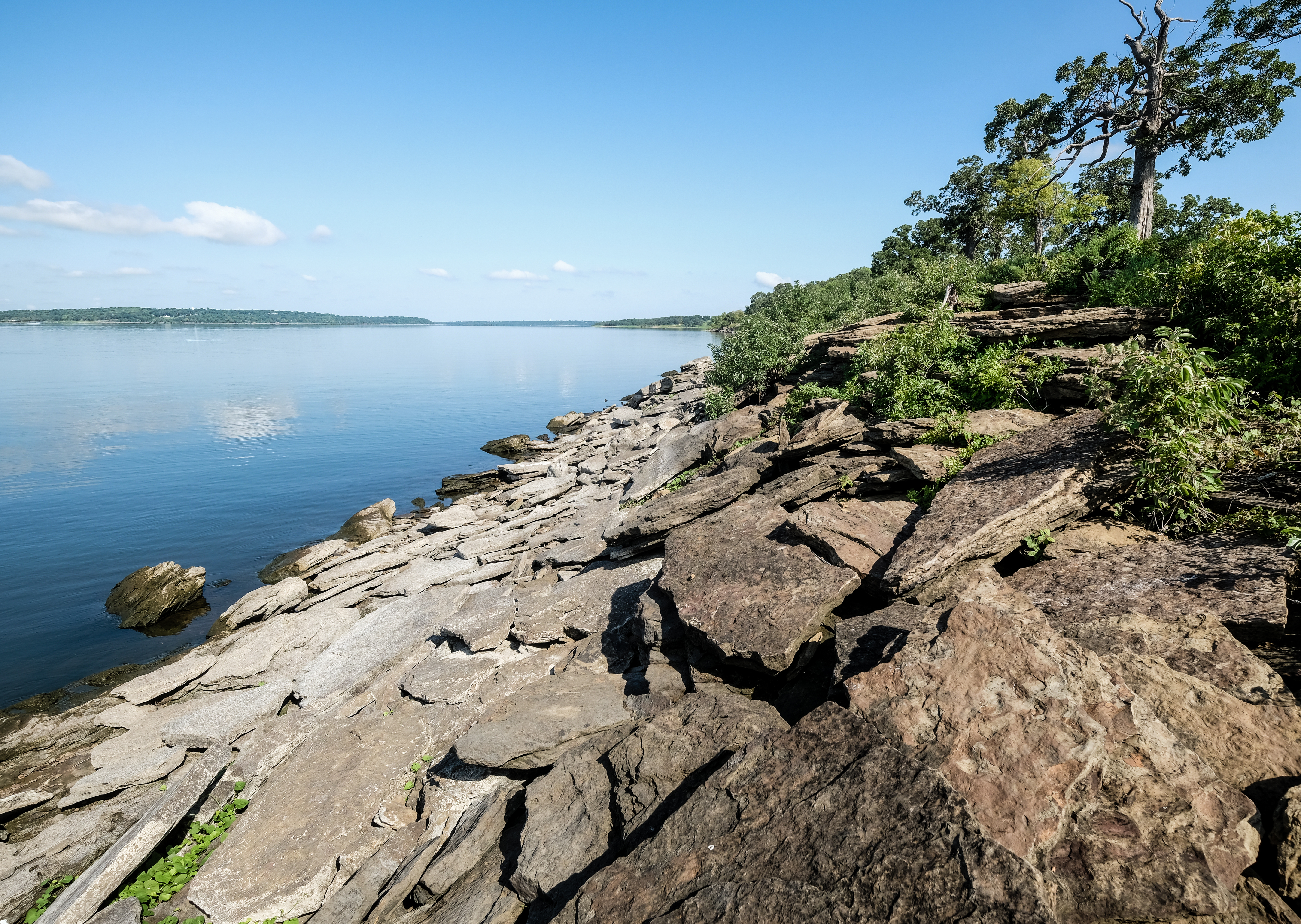
Fort Gibson Shoreline Rocks

the beast

Brown world

Grand River
20161022-120344-IMG_8767
Topographic Map of West Rocky Top Road, W Rocky Top Rd, Fort Gibson, OK, USA
Find elevation by address:

Places near West Rocky Top Road, W Rocky Top Rd, Fort Gibson, OK, USA:
127 Ok-10
21408 S 380 Rd
West Weeping Rock Road
Braggs, OK, USA
3760 W 821 Rd
Crescent Valley Baptist Church
1501 E Benge Rd
20076 S Pistol Point Rd
19623 Ok-80
Wildwood Rv Park
S Birch St, Hulbert, OK, USA
Hulbert
Neosho River
Fort Gibson
Mallard Bay
7562 River Ridge Rd
7562 River Ridge Dr
7560 River Ridge Dr
12707 N 400 Rd
Port Pl, Muskogee, OK, USA
Recent Searches:
- Elevation of Elwyn Dr, Roanoke Rapids, NC, USA
- Elevation of Congressional Dr, Stevensville, MD, USA
- Elevation of Bellview Rd, McLean, VA, USA
- Elevation of Stage Island Rd, Chatham, MA, USA
- Elevation of Shibuya Scramble Crossing, 21 Udagawacho, Shibuya City, Tokyo -, Japan
- Elevation of Jadagoniai, Kaunas District Municipality, Lithuania
- Elevation of Pagonija rock, Kranto 7-oji g. 8"N, Kaunas, Lithuania
- Elevation of Co Rd 87, Jamestown, CO, USA
- Elevation of Tenjo, Cundinamarca, Colombia
- Elevation of Côte-des-Neiges, Montreal, QC H4A 3J6, Canada