Elevation of West Peak, Washington, USA
Location: United States > Washington > Jefferson County >
Longitude: -123.3487845
Latitude: 47.7228674
Elevation: 2178m / 7146feet
Barometric Pressure: 0KPa
Related Photos:

Motivating view
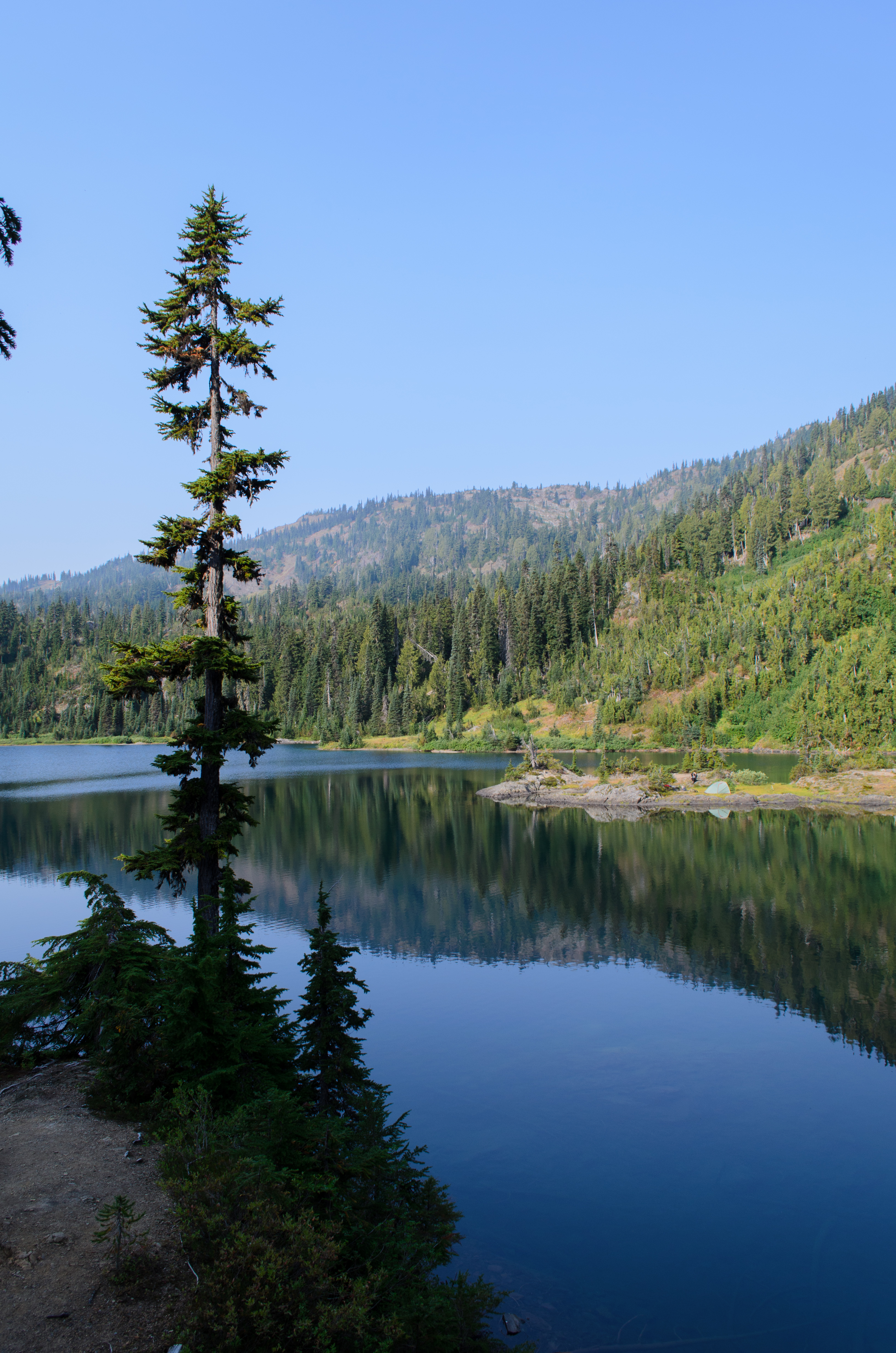
View across the lake
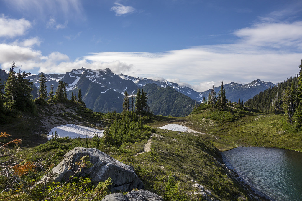
View from Martin's Lake
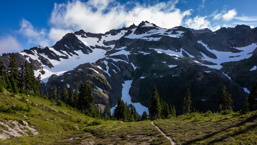
Mount Christie at Martin's Park

View Of The Elwha River Valley From Just Below The Low Divide

slide1-35
Topographic Map of West Peak, Washington, USA
Find elevation by address:

Places near West Peak, Washington, USA:
Jefferson County
Marmot Lake
Lena Lake
Lake Cushman
820 N Potlatch Dr
Olympic National Park
19 N Dow Mountain Dr
5901 N Lake Cushman Rd
5791 N Lake Cushman Rd
Brown Creek Campground
Duckabush Trail
91 N Fish Hook Pl
1781 Dow Mountain Rd
1111 Dow Mountain Rd
3701 Dow Mountain Rd
Cushman Dam
41 N Pinedrops Ln
250 N Duckabush Dr
30 W Hamma Hamma Dr
Mason County
Recent Searches:
- Elevation map of Litang County, Sichuan, China
- Elevation map of Madoi County, Qinghai, China
- Elevation of 3314, Ohio State Route 114, Payne, Paulding County, Ohio, 45880, USA
- Elevation of Sarahills Drive, Saratoga, Santa Clara County, California, 95070, USA
- Elevation of Town of Bombay, Franklin County, New York, USA
- Elevation of 9, Convent Lane, Center Moriches, Suffolk County, New York, 11934, USA
- Elevation of Saint Angelas Convent, 9, Convent Lane, Center Moriches, Suffolk County, New York, 11934, USA
- Elevation of 131st Street Southwest, Mukilteo, Snohomish County, Washington, 98275, USA
- Elevation of 304, Harrison Road, Naples, Cumberland County, Maine, 04055, USA
- Elevation of 2362, Timber Ridge Road, Harrisburg, Cabarrus County, North Carolina, 28075, USA
- Elevation of Ridge Road, Marshalltown, Marshall County, Iowa, 50158, USA
- Elevation of 2459, Misty Shadows Drive, Pigeon Forge, Sevier County, Tennessee, 37862, USA
- Elevation of 8043, Brightwater Way, Spring Hill, Williamson County, Tennessee, 37179, USA
- Elevation of Starkweather Road, San Luis, Costilla County, Colorado, 81152, USA
- Elevation of 5277, Woodside Drive, Baton Rouge, East Baton Rouge Parish, Louisiana, 70808, USA
- Elevation of 1139, Curtin Street, Shepherd Park Plaza, Houston, Harris County, Texas, 77018, USA
- Elevation of 136, Sellers Lane, Repton, Monroe County, Alabama, 36475, USA
- Elevation of 12914, Elmington Drive, Lakewood Forest, Houston, Harris County, Texas, 77429, USA
- Elevation of 417, Camelot Drive, Statesville, Iredell County, North Carolina, 28625, USA
- Elevation of 5792, Wildridge Road, Avon, Eagle County, Colorado, 81620, USA