Elevation of West Lake Houston Parkway, W Lake Houston Pkwy, Houston, TX, USA
Location: United States > Texas > Harris County > Houston > Summerwood >
Longitude: -95.197009
Latitude: 29.9247803
Elevation: 16m / 52feet
Barometric Pressure: 101KPa
Elevation Map:
Satellite Map:
Related Photos:
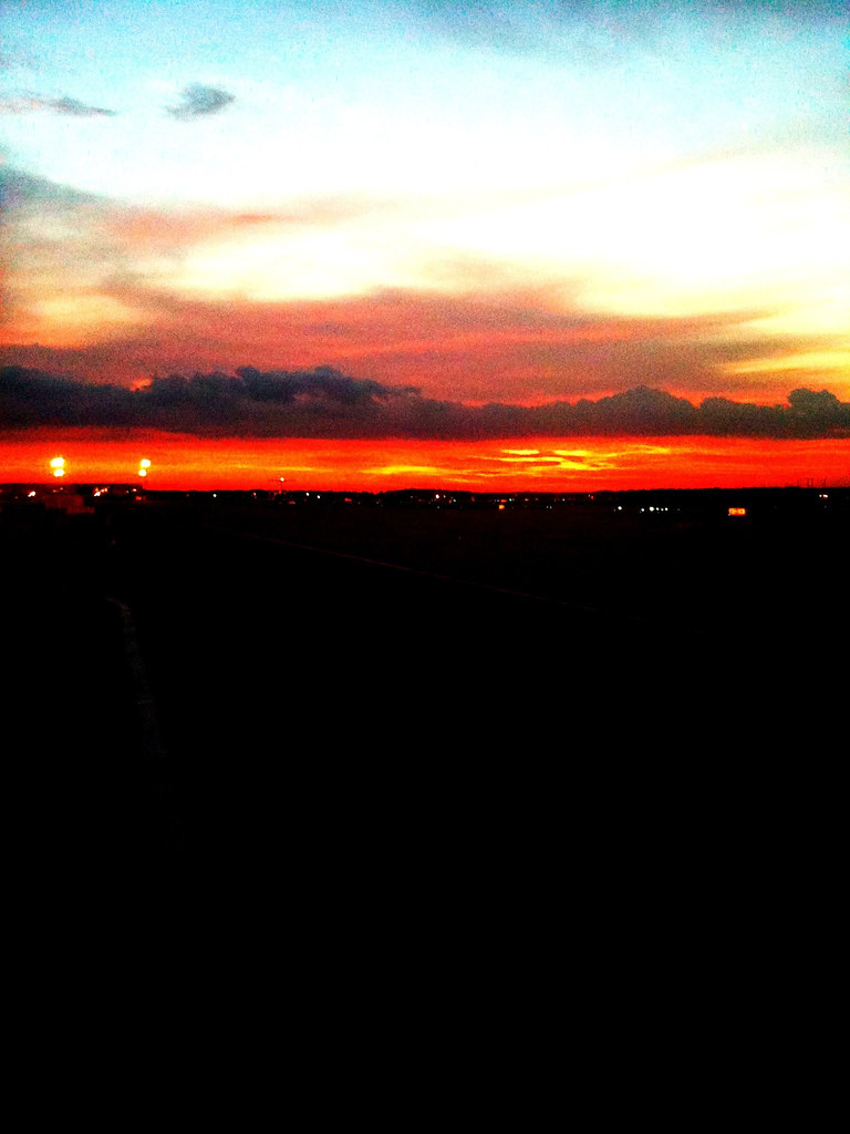
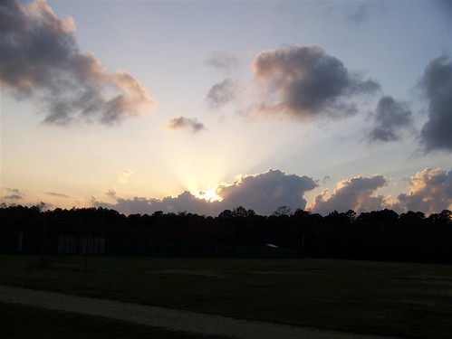
August Sunset
autumn in texas
When you request a room with a view at the airport hotel, this is what you get! #ttot #travel #marriott
Sunset Escape
Barn Swallow Day

A Processed and Golden Glow Look to Clouds and an Airplane Wing

Union-Pacific Railroad Bridge over the San Jacinto River, in the fog, Humble, Texas 1214091503A

Dragonfly Eyes

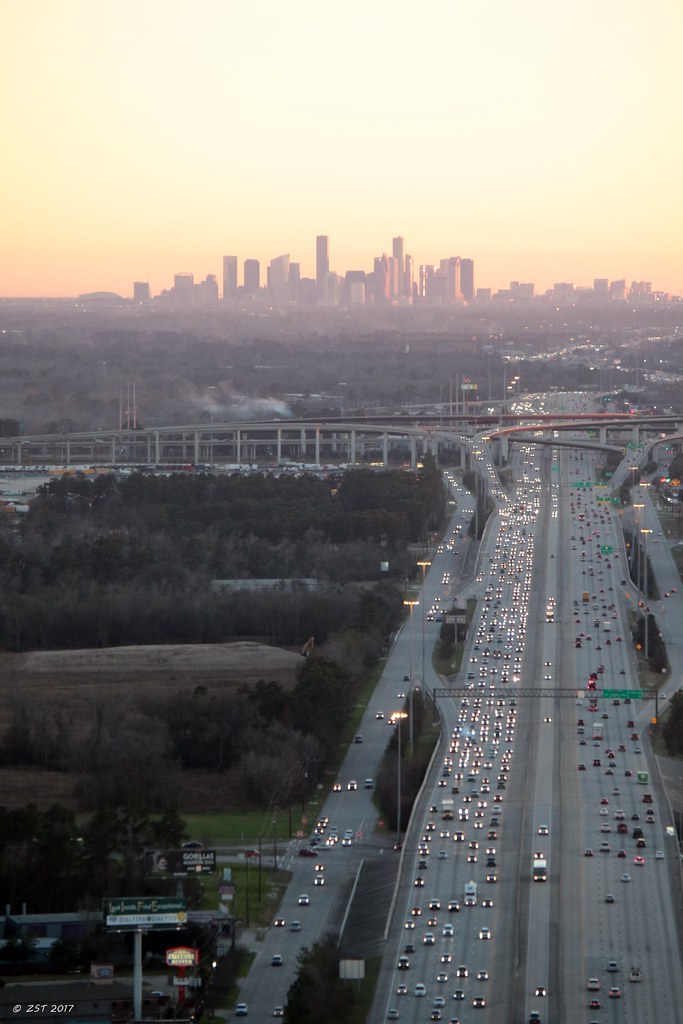
I-69 & Beltway 8
Barn Swallow Day
Union-Pacific Railroad Bridge, San Jacinto River , Humble, Texas 1209090832
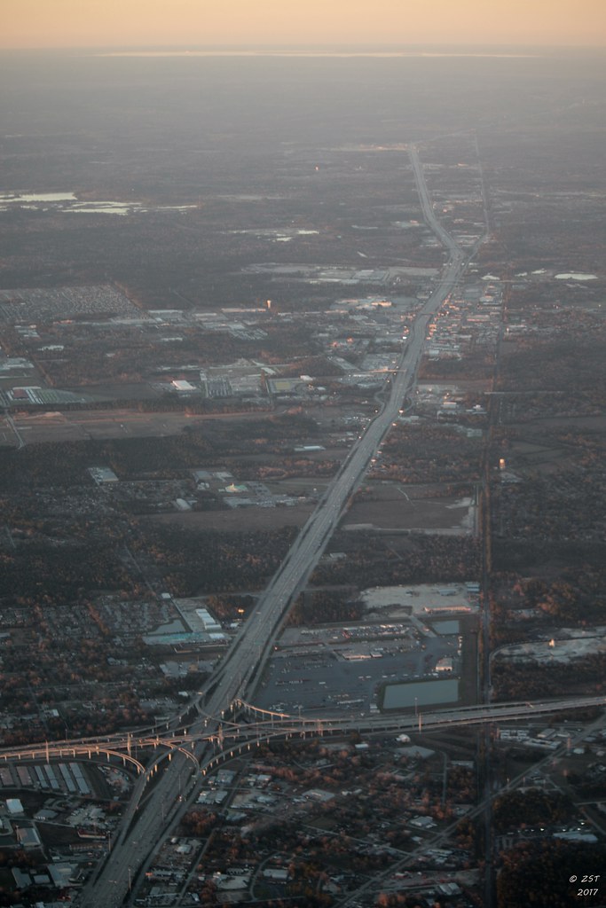
I-69 North

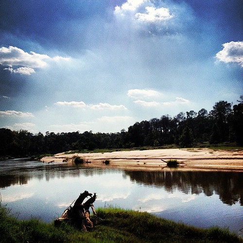
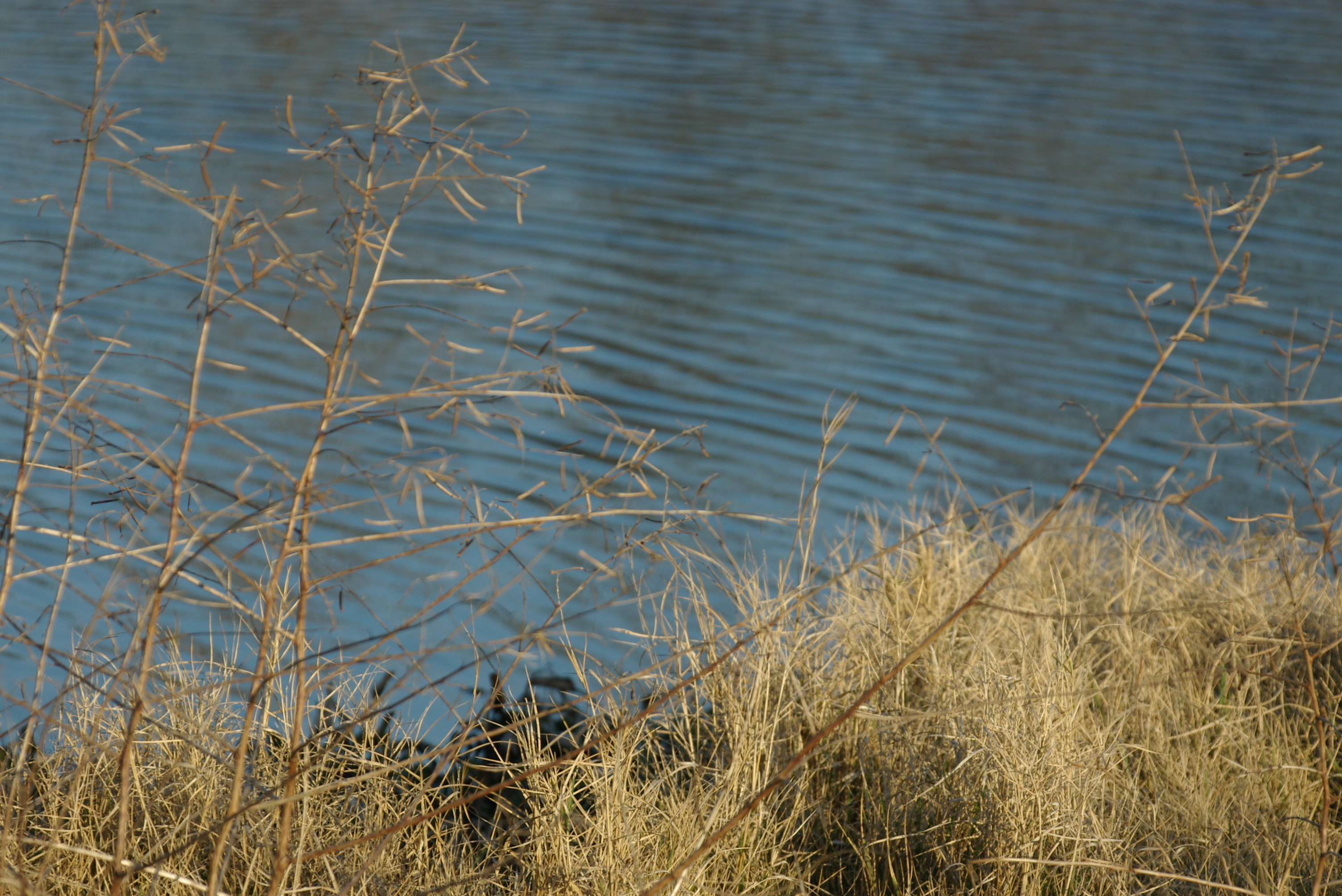
Lake Sunset
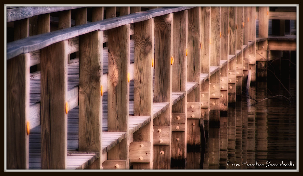
Lake Houston Boardwalk
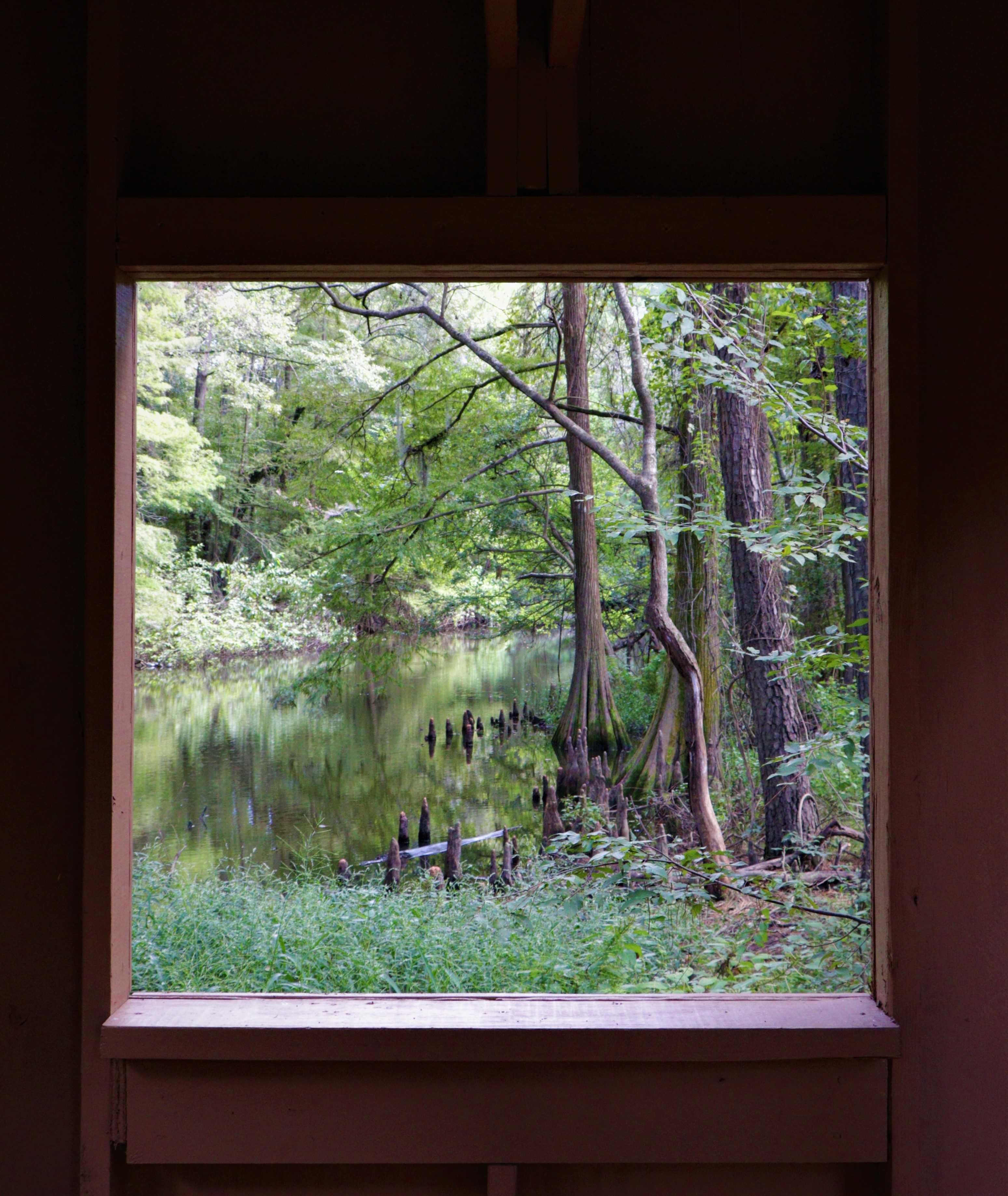
Window with a View.
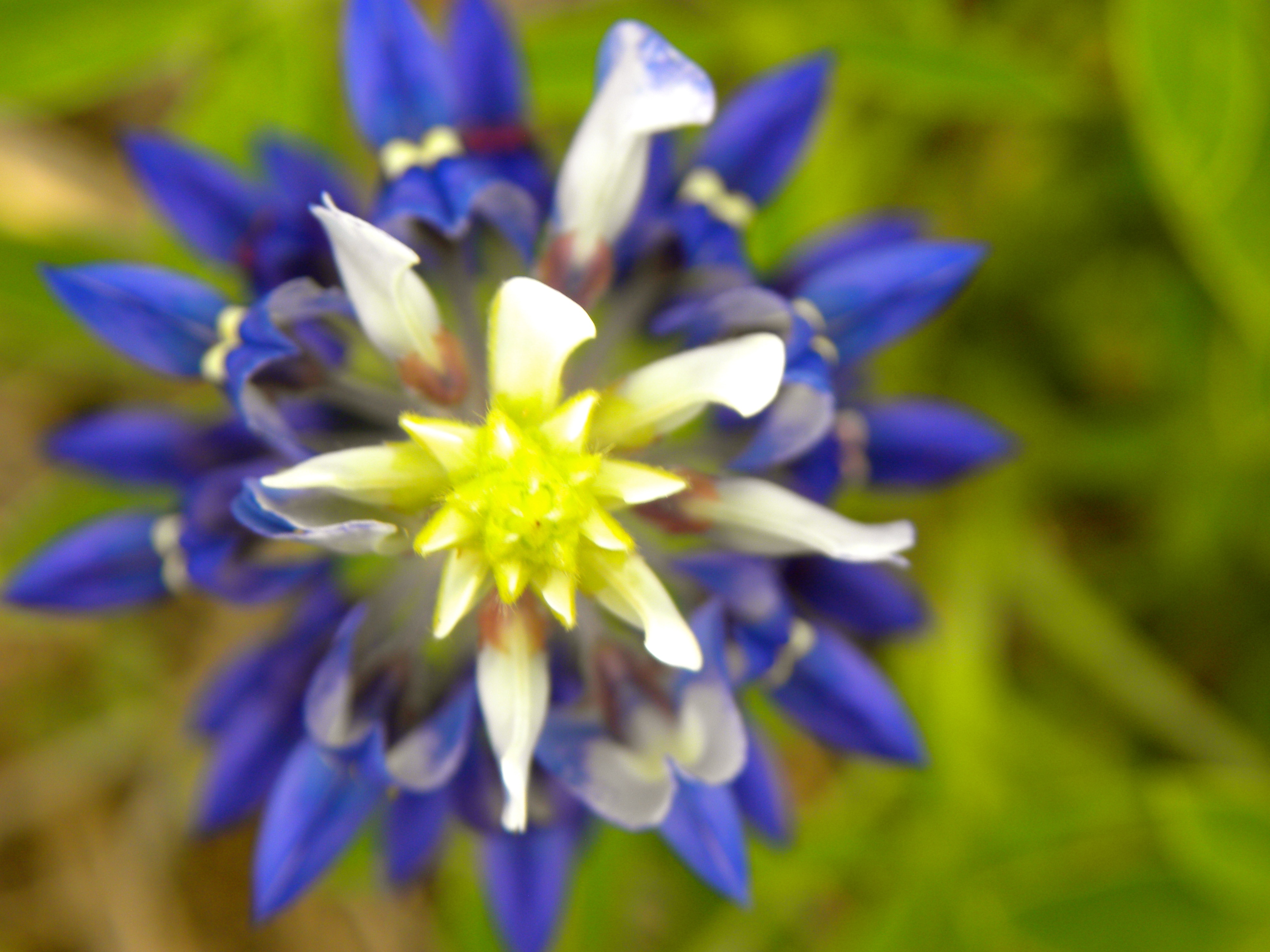
Macro Top View of Bluebonnet
The Homeward Commute
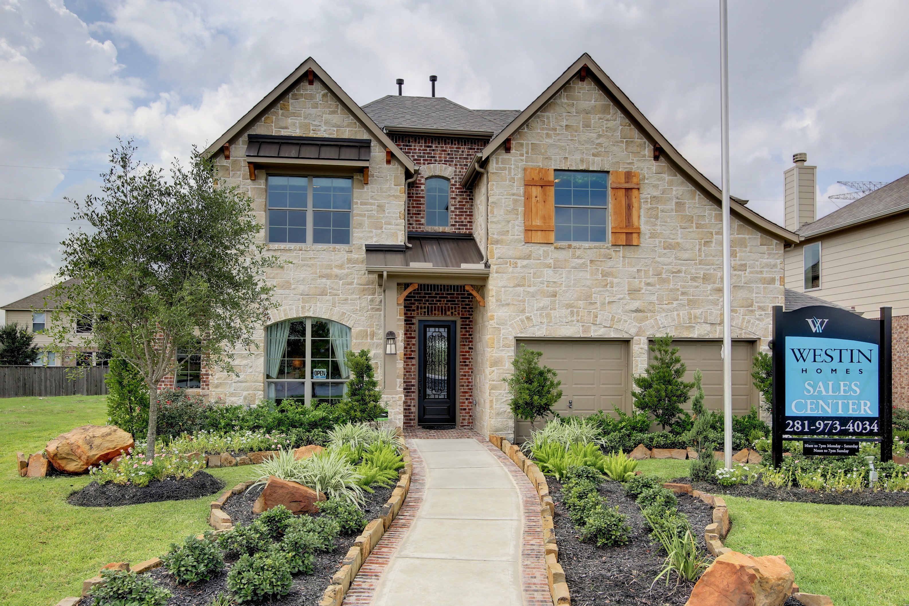
14815 Fall Creek View Dr _ Westin Homes _ Preston _ D _ Fall Creek _ Travis Edmunds _ 10.1 (1)
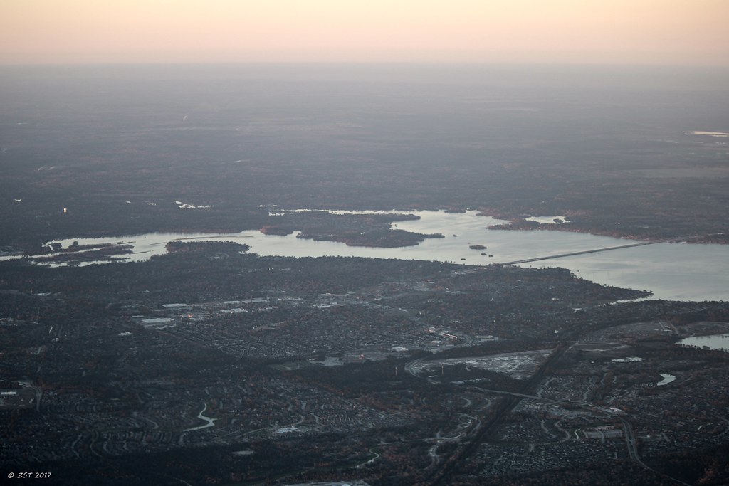
Atascocita & Lake Houston

Floating Bloom
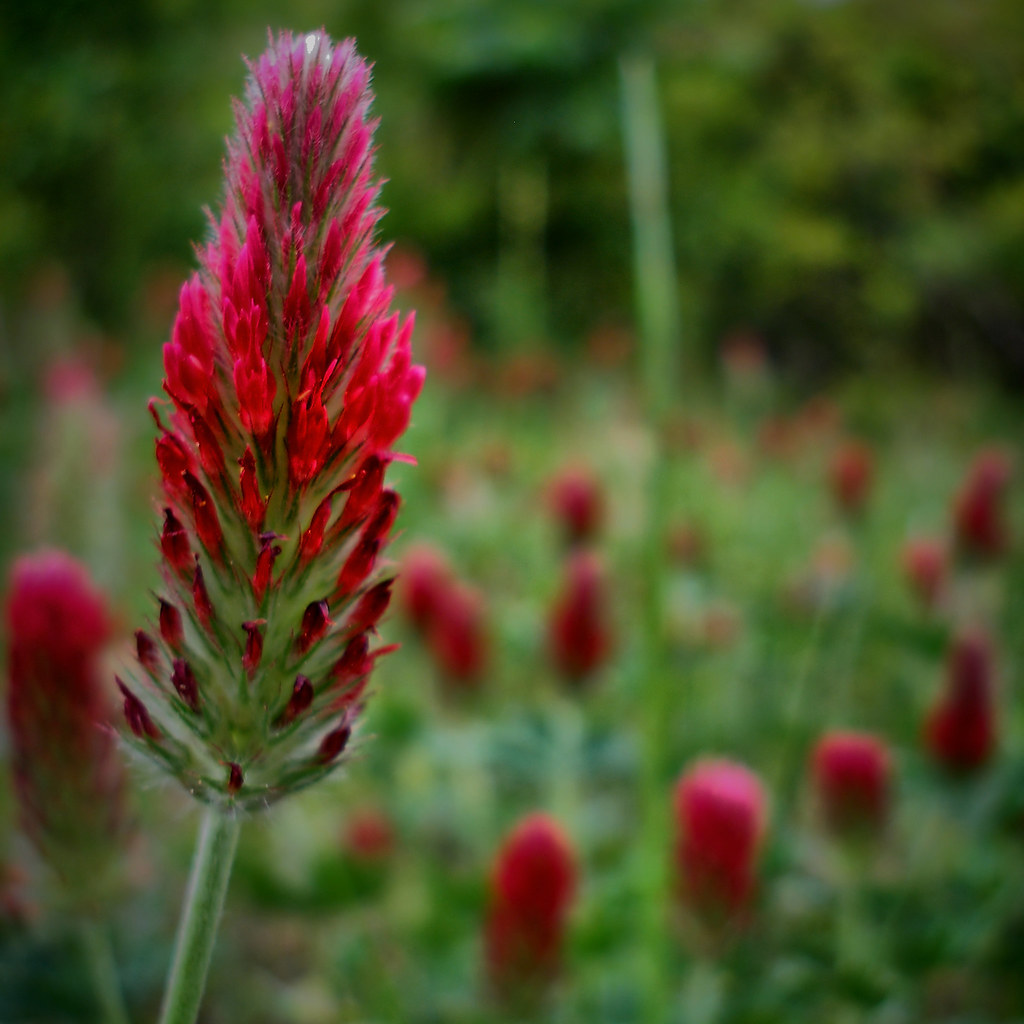
Clearly, Red Clover ...over & over...
294240091820333577_130711720121228-1347-12kvzi1

Just arrived @IAH #avgeek #houston #airplane #airport
IMGP9253.JPG

I don't remember exactly where this is...but it is still an Awesome Natural Wonder! I believe it is somewhere in the vicinity of #Alaska where #freshwater & #saltwater meet! #AwesomeNaturalWonder

Pointed Blue-eyed Grass

Huascarán North summit covered in clouds
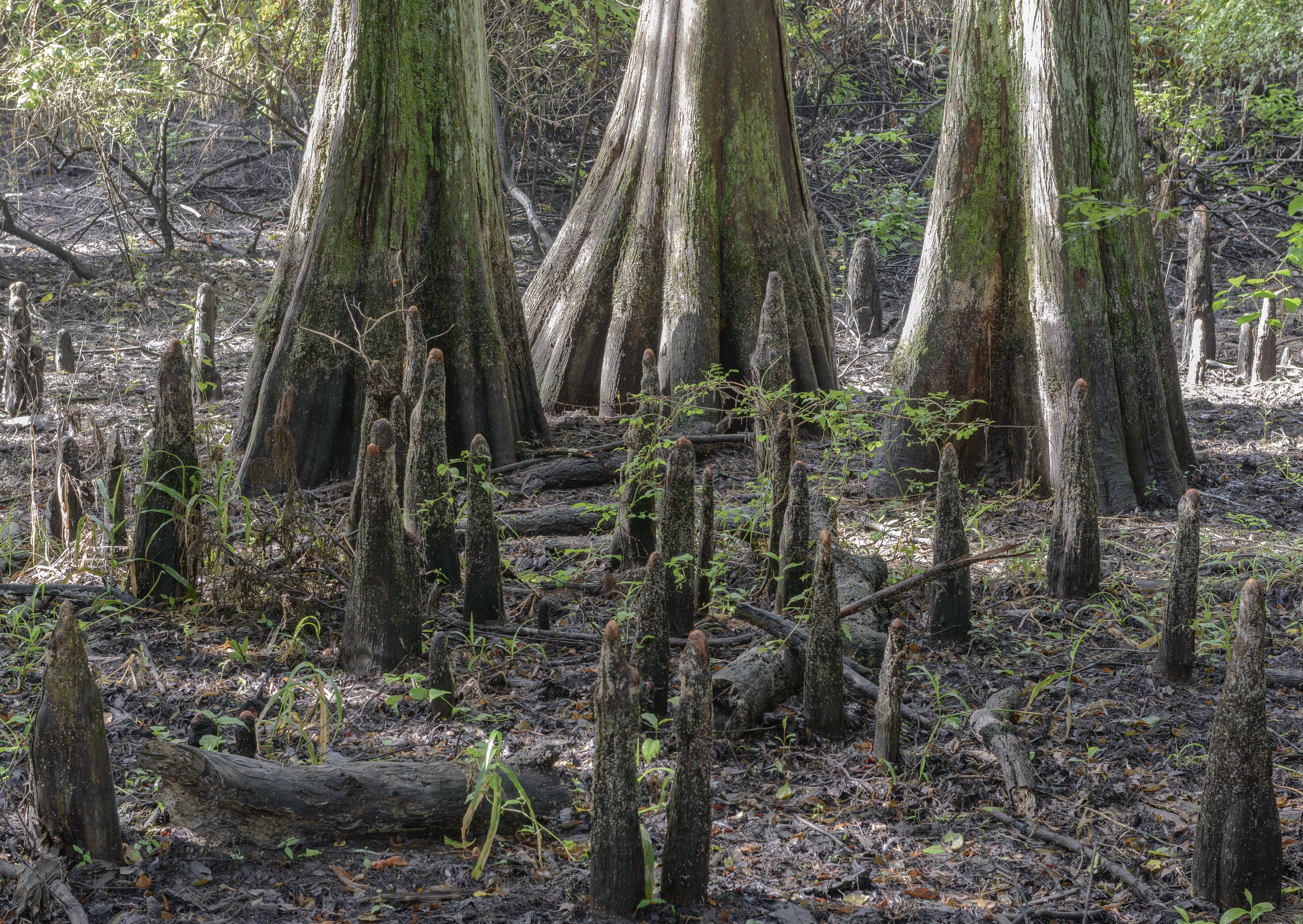
Cypress Knees
Red Sky At Night
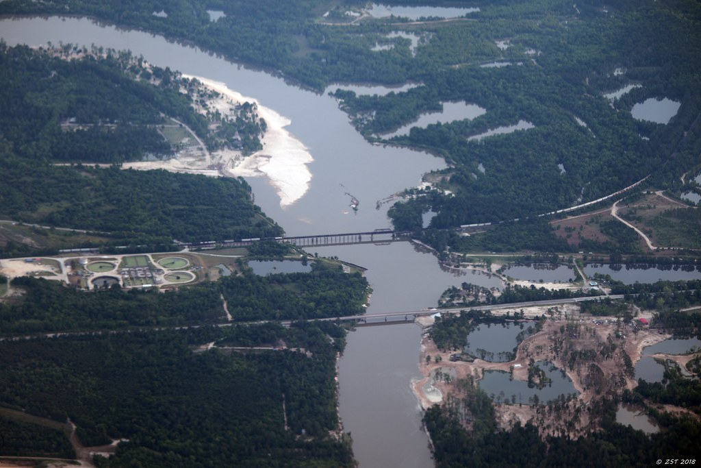
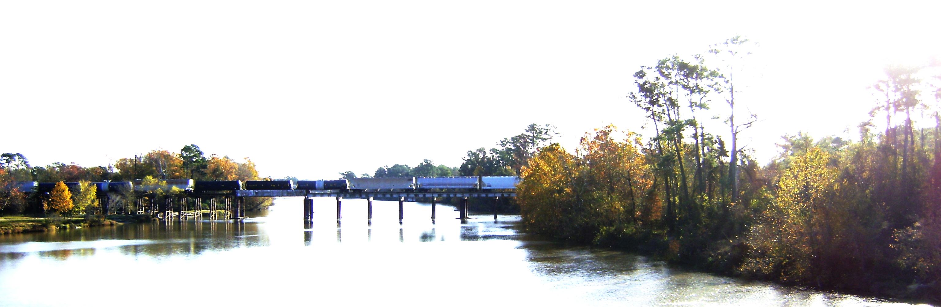
Beaumont Highway over the San Jacinto River [EXPLORED 4/29/18, highest position #348]

Touchdown in the Zone

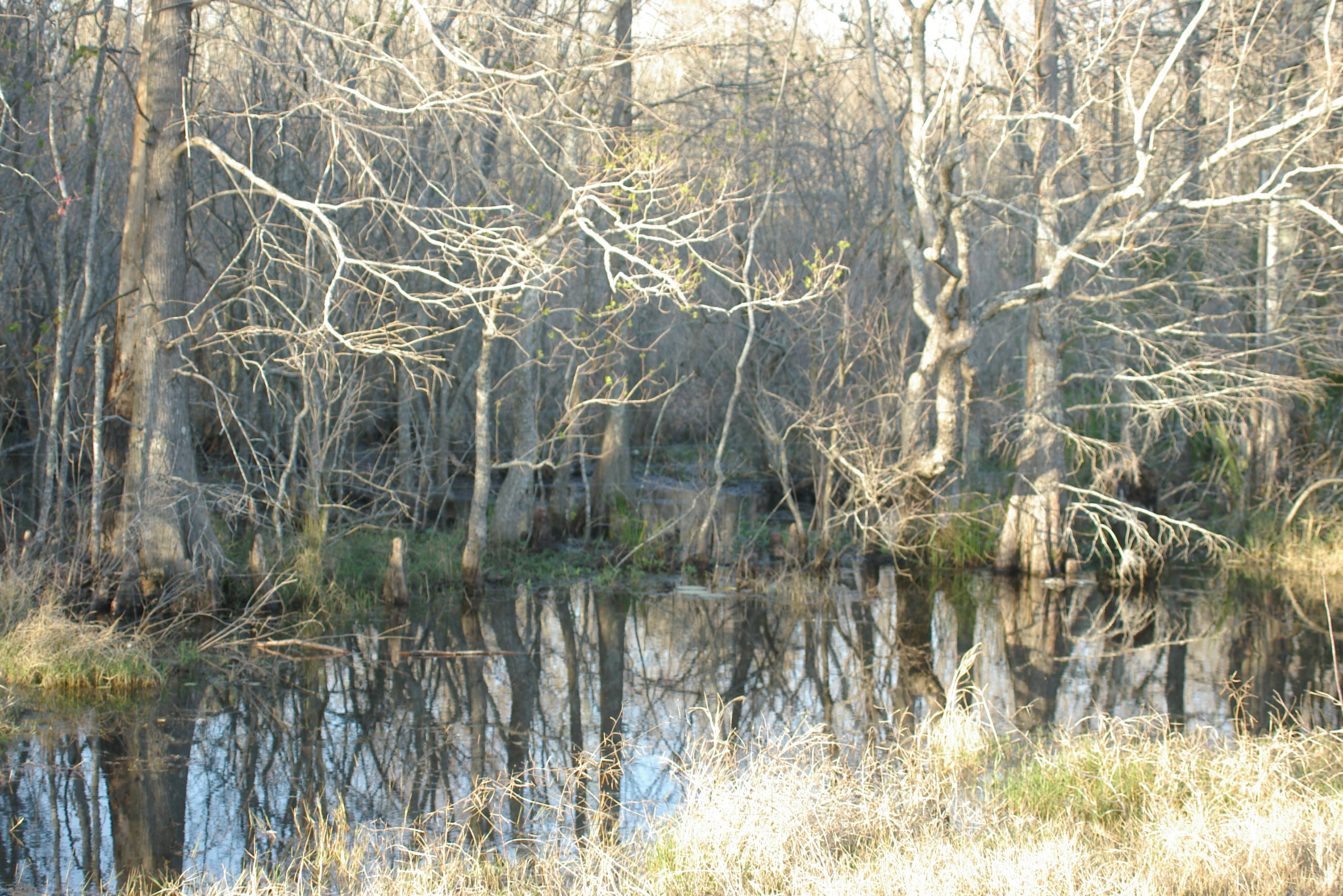
Rural Harris County

Spring Creek, Jesse H. Jones Park & Nature Center, Humble, Texas 0716090821
IMGP9246.JPG
IMGP9266.JPG

The Gates of Heaven

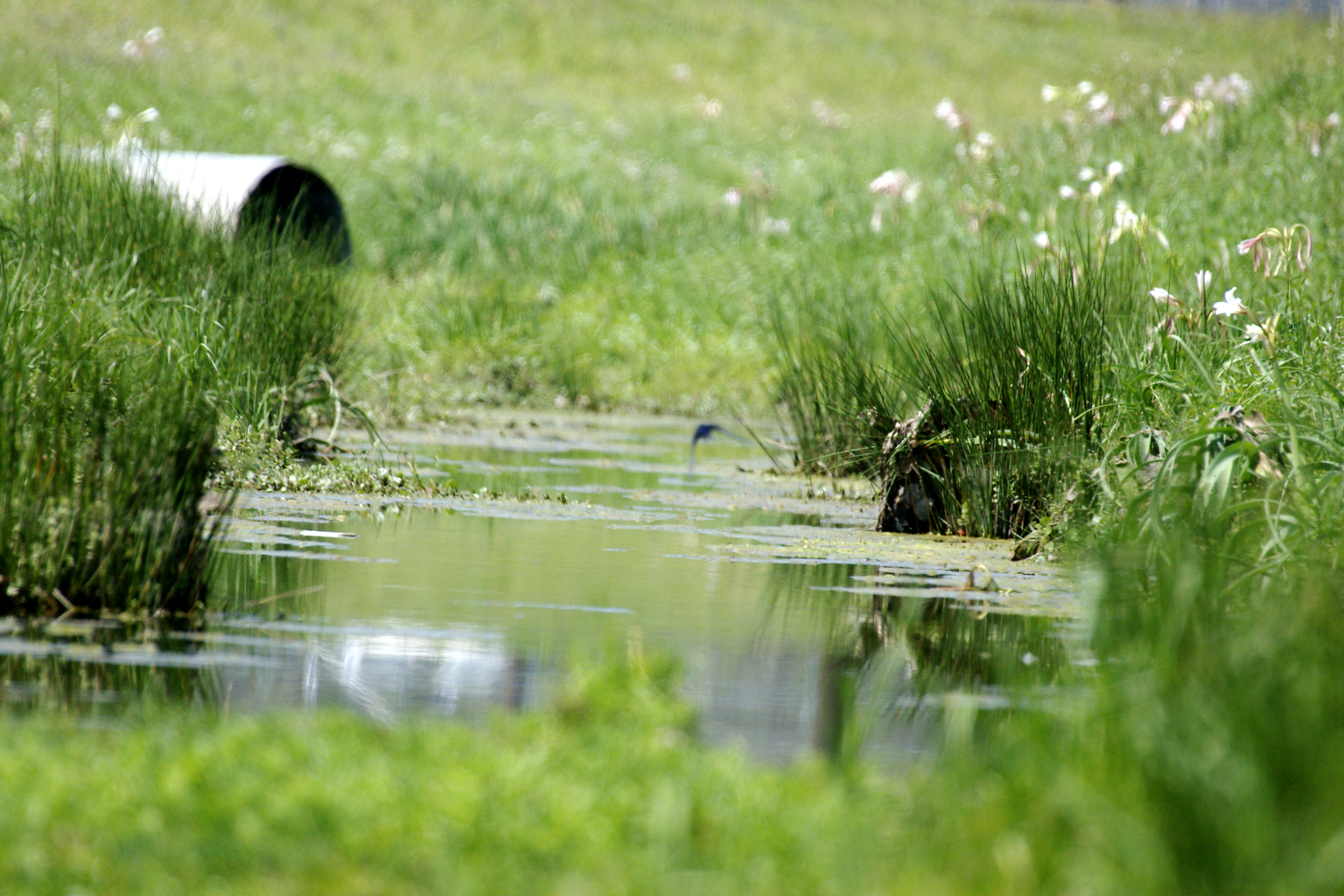
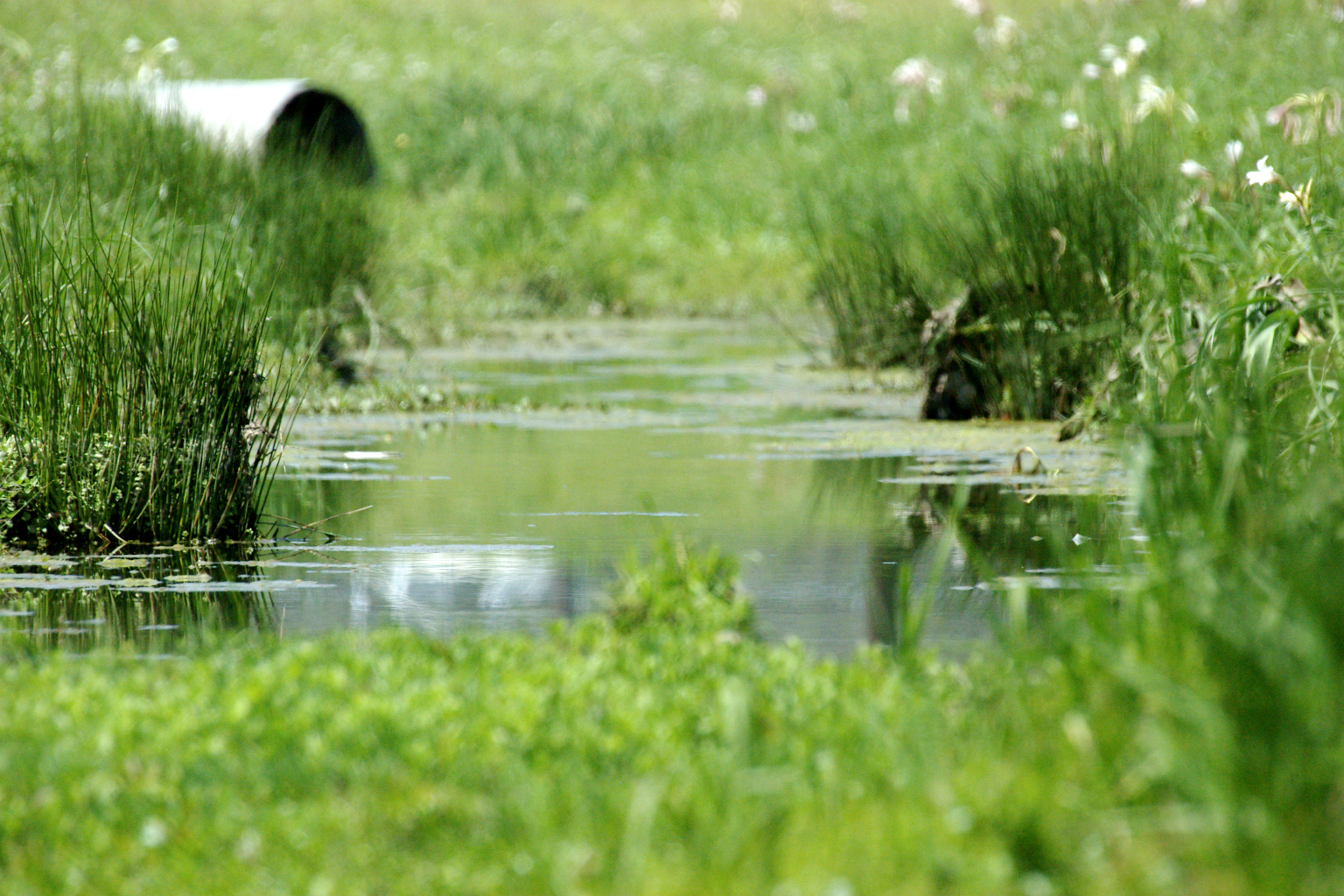
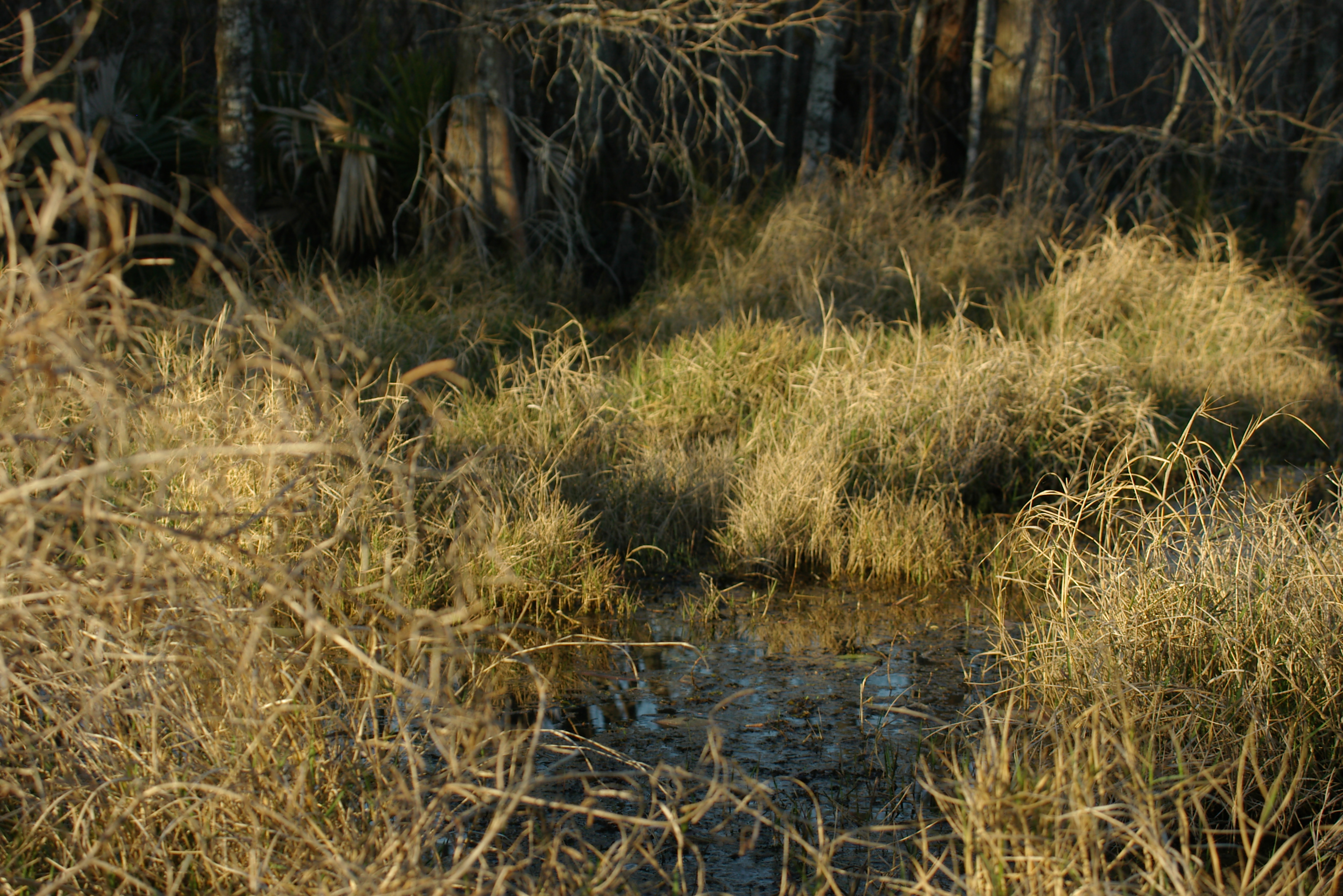
Pathway through the wetlands — Sheldon Lake State Park
Landscape...

Great Egret - Sheldon Lake

Hall's Bayou
Topographic Map of West Lake Houston Parkway, W Lake Houston Pkwy, Houston, TX, USA
Find elevation by address:

Places near West Lake Houston Parkway, W Lake Houston Pkwy, Houston, TX, USA:
Woodson Park Drive
12710 Woodson Park Dr
Woodson Park Drive
14155 Parsons Glen Dr
14142 Parsons Glen Dr
12926 Coopers Hawk Dr
14221 East Sam Houston Pkwy N
14633 Woodson Park Dr
North Sam Houston Parkway East
Summer Creek High School
14614 Kings Head Dr
Gadshill Circle
15707 White Summit Ct
14307 Norhill Pointe Dr
Summerwood
13915 Southern Spring Ln
14707 Somerset Horizon Ln
Lindsey
14431 Brighton Trace Ln
Balmoral
Recent Searches:
- Elevation of 6 Rue Jules Ferry, Beausoleil, France
- Elevation of Sattva Horizon, 4JC6+G9P, Vinayak Nagar, Kattigenahalli, Bengaluru, Karnataka, India
- Elevation of Great Brook Sports, Gold Star Hwy, Groton, CT, USA
- Elevation of 10 Mountain Laurels Dr, Nashua, NH, USA
- Elevation of 16 Gilboa Ln, Nashua, NH, USA
- Elevation of Laurel Rd, Townsend, TN, USA
- Elevation of 3 Nestling Wood Dr, Long Valley, NJ, USA
- Elevation of Ilungu, Tanzania
- Elevation of Yellow Springs Road, Yellow Springs Rd, Chester Springs, PA, USA
- Elevation of Rēzekne Municipality, Latvia