Elevation of West Kings Highway, W Kings Hwy, Eden, NC, USA
Location: United States > North Carolina > Rockingham County > Leaksville > Eden >
Longitude: -79.750650
Latitude: 36.4915754
Elevation: 158m / 518feet
Barometric Pressure: 99KPa
Elevation Map:
Satellite Map:
Related Photos:
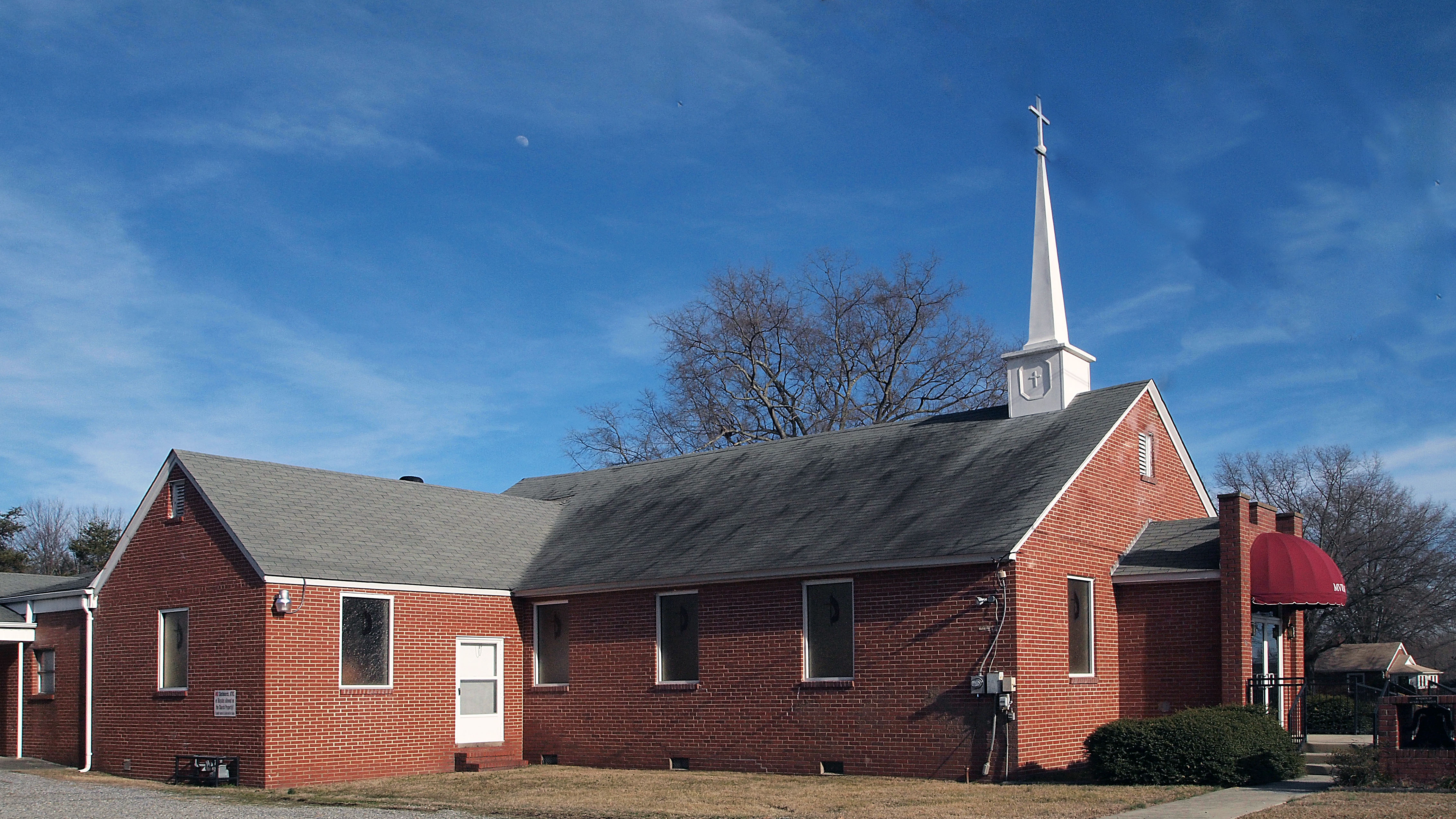
Meadow View UMC

Meadow View UMC

Olive-sided Flycatcher 20140829001018
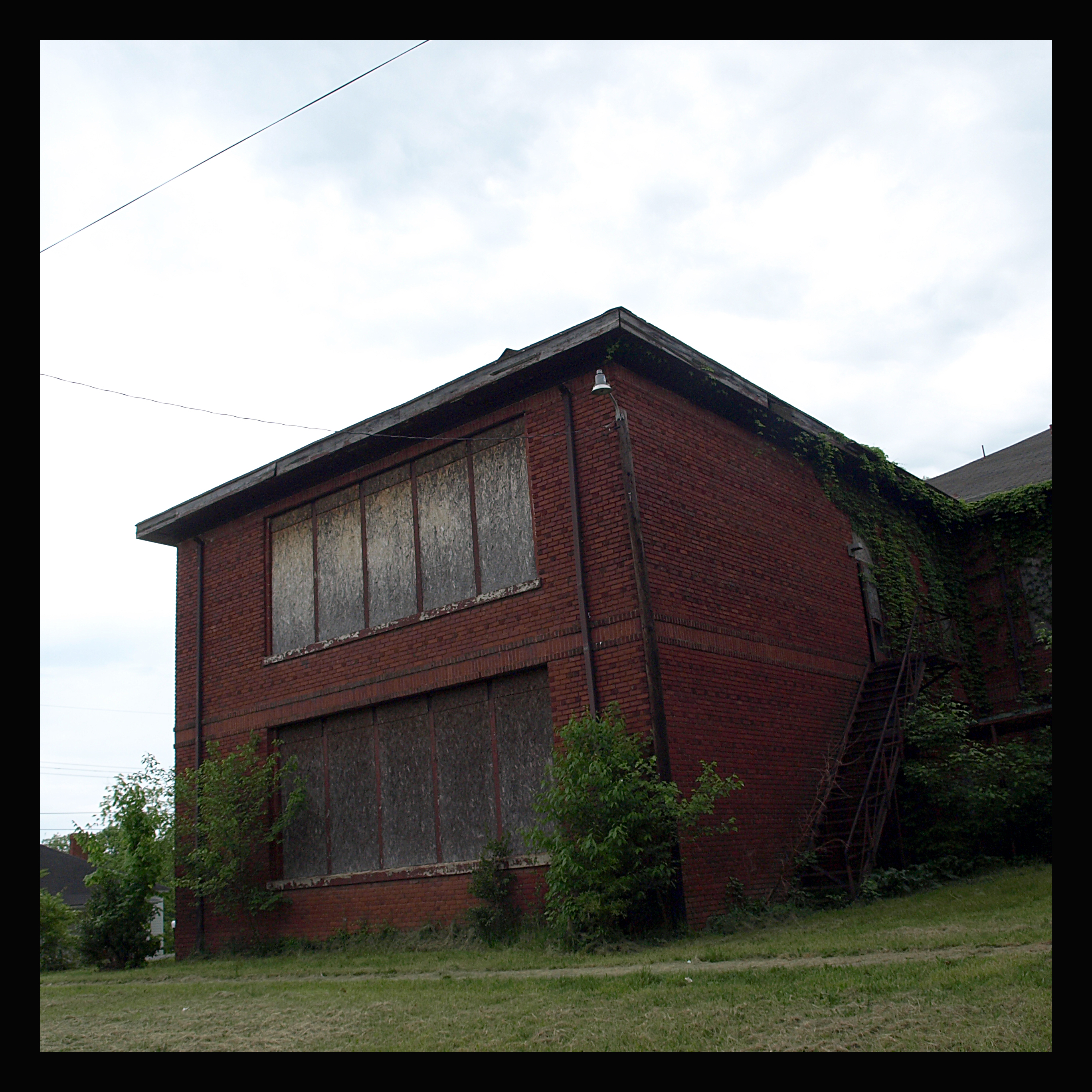
Burton Grove Elementary School
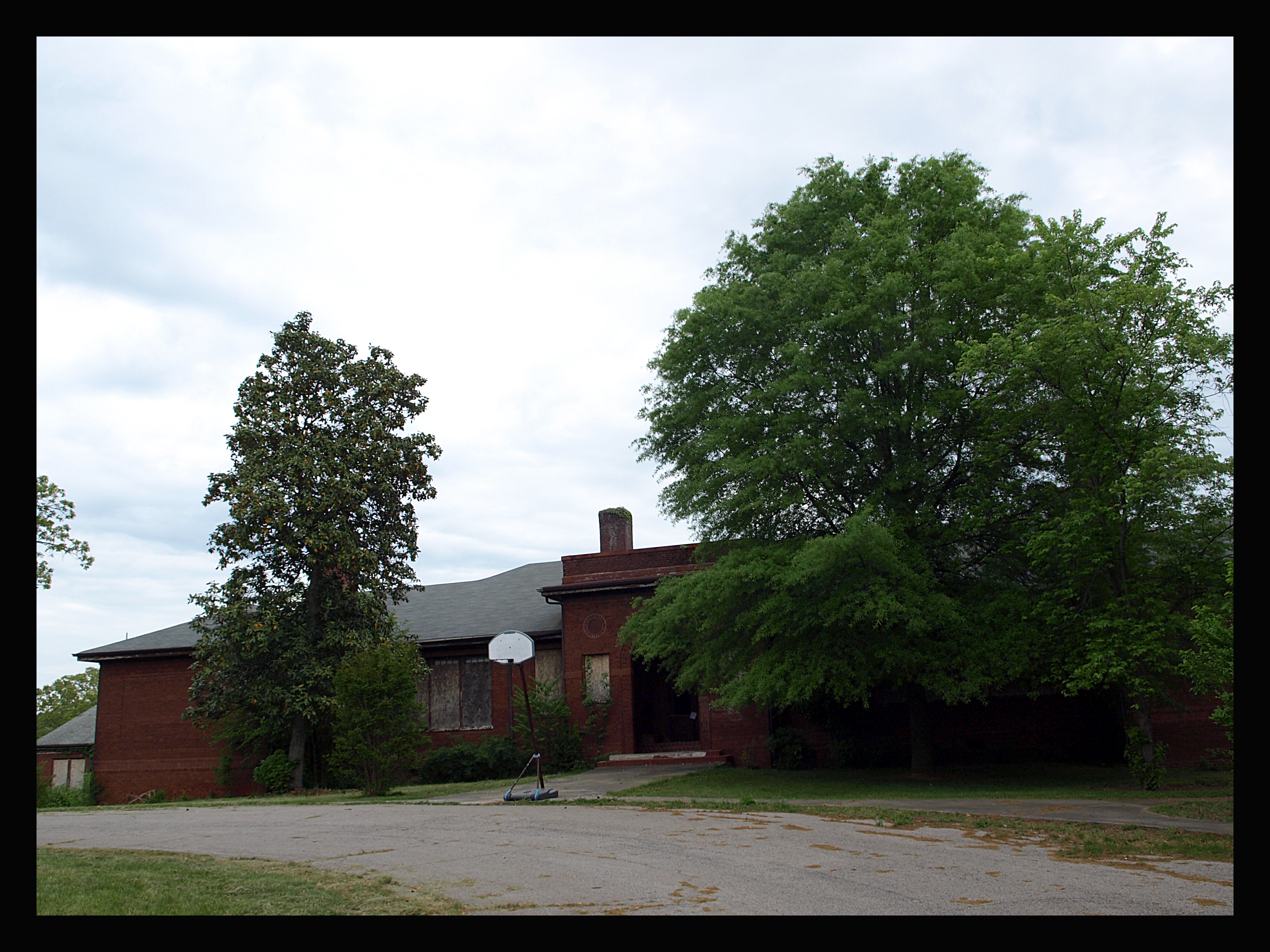
Burton Grove Elementary School

side view

Madison Grocery Co.
Christian View Christian Disciples

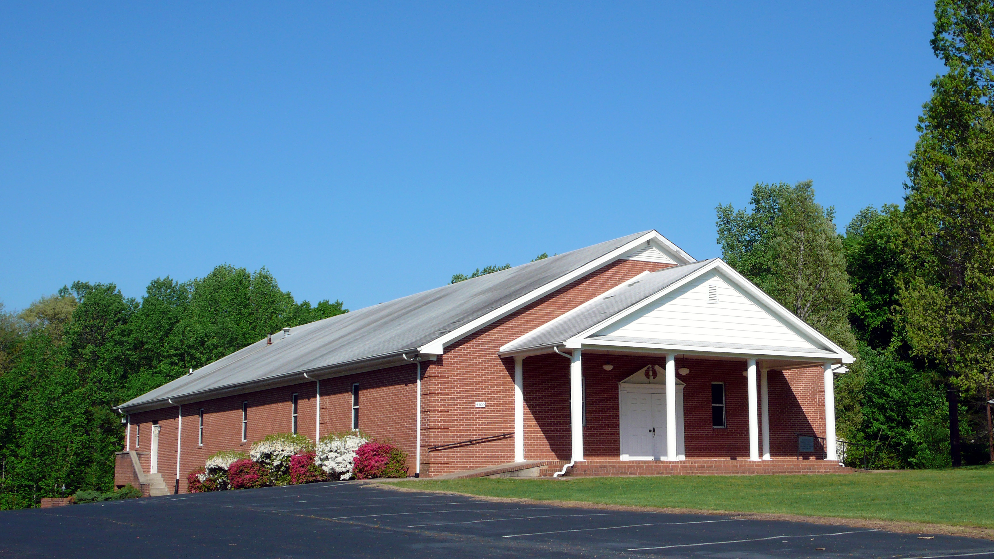
Pleasant View Baptist Church

Not The Best Seats

Floating On A Cloud

Sunrise over Rockingham Co

P6060252-5
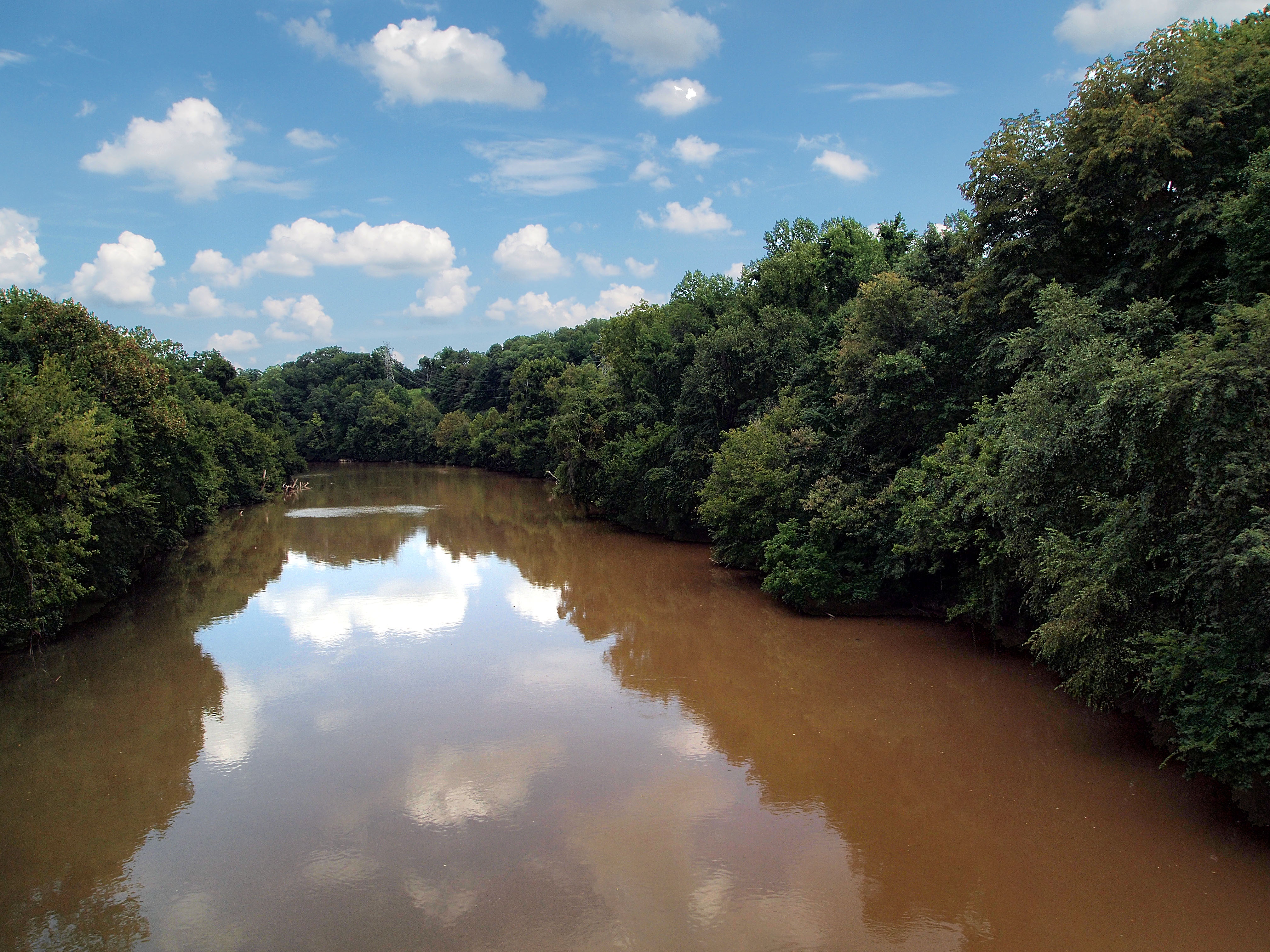
Dan River

Palm Warbler 20130407001142

Grasshopper Sparrow 20141028001110

Savannah Sparrow 20141028001021
Topographic Map of West Kings Highway, W Kings Hwy, Eden, NC, USA
Find elevation by address:

Places near West Kings Highway, W Kings Hwy, Eden, NC, USA:
619 N Bridge St
351 W Meadow Rd
Eden
818 Jay St
134 N Pierce St
714 Church St
101 N Primitive St
Leaksville
Black Bottom Rd, Eden, NC, USA
Skyline Circle
NC-14, Eden, NC, USA
124 S Bethel St
Wentworth
NC-, Eden, NC, USA
Wentworth, NC, USA
Leaksville Junction Rd, Cascade, VA, USA
Schoolfield Road
Cedar Ln, Reidsville, NC, USA
695 Salem Church Rd
1070 Mountain Run Rd
Recent Searches:
- Elevation of Pykes Down, Ivybridge PL21 0BY, UK
- Elevation of Jalan Senandin, Lutong, Miri, Sarawak, Malaysia
- Elevation of Bilohirs'k
- Elevation of 30 Oak Lawn Dr, Barkhamsted, CT, USA
- Elevation of Luther Road, Luther Rd, Auburn, CA, USA
- Elevation of Unnamed Road, Respublika Severnaya Osetiya — Alaniya, Russia
- Elevation of Verkhny Fiagdon, North Ossetia–Alania Republic, Russia
- Elevation of F. Viola Hiway, San Rafael, Bulacan, Philippines
- Elevation of Herbage Dr, Gulfport, MS, USA
- Elevation of Lilac Cir, Haldimand, ON N3W 2G9, Canada