Elevation of West Island, Cocos (Keeling) Islands
Location: Cocos (keeling) Islands >
Longitude: 96.8317501
Latitude: -12.171093
Elevation: 15m / 49feet
Barometric Pressure: 101KPa
Elevation Map:
Satellite Map:
Related Photos:
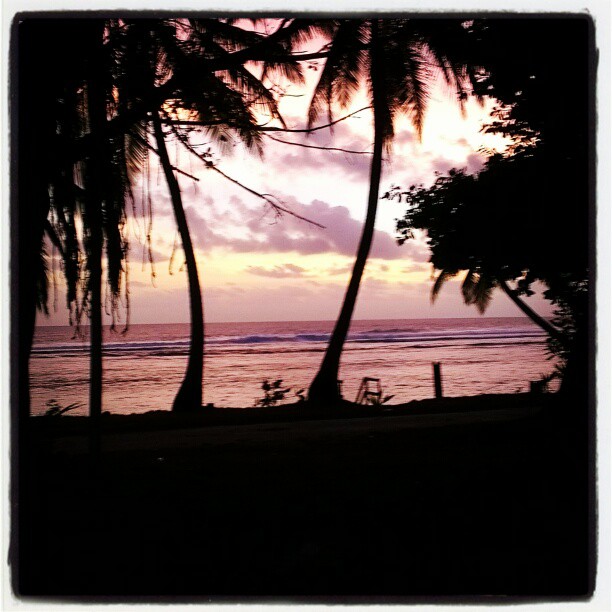
View from hotel sunset version

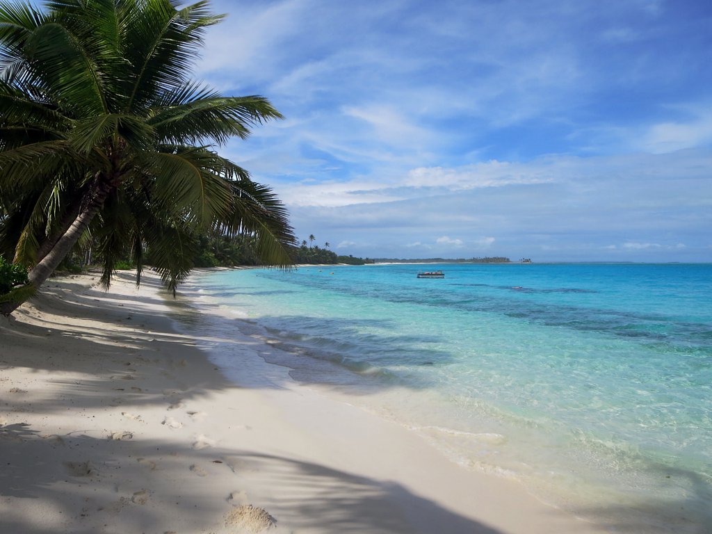
View from hotel
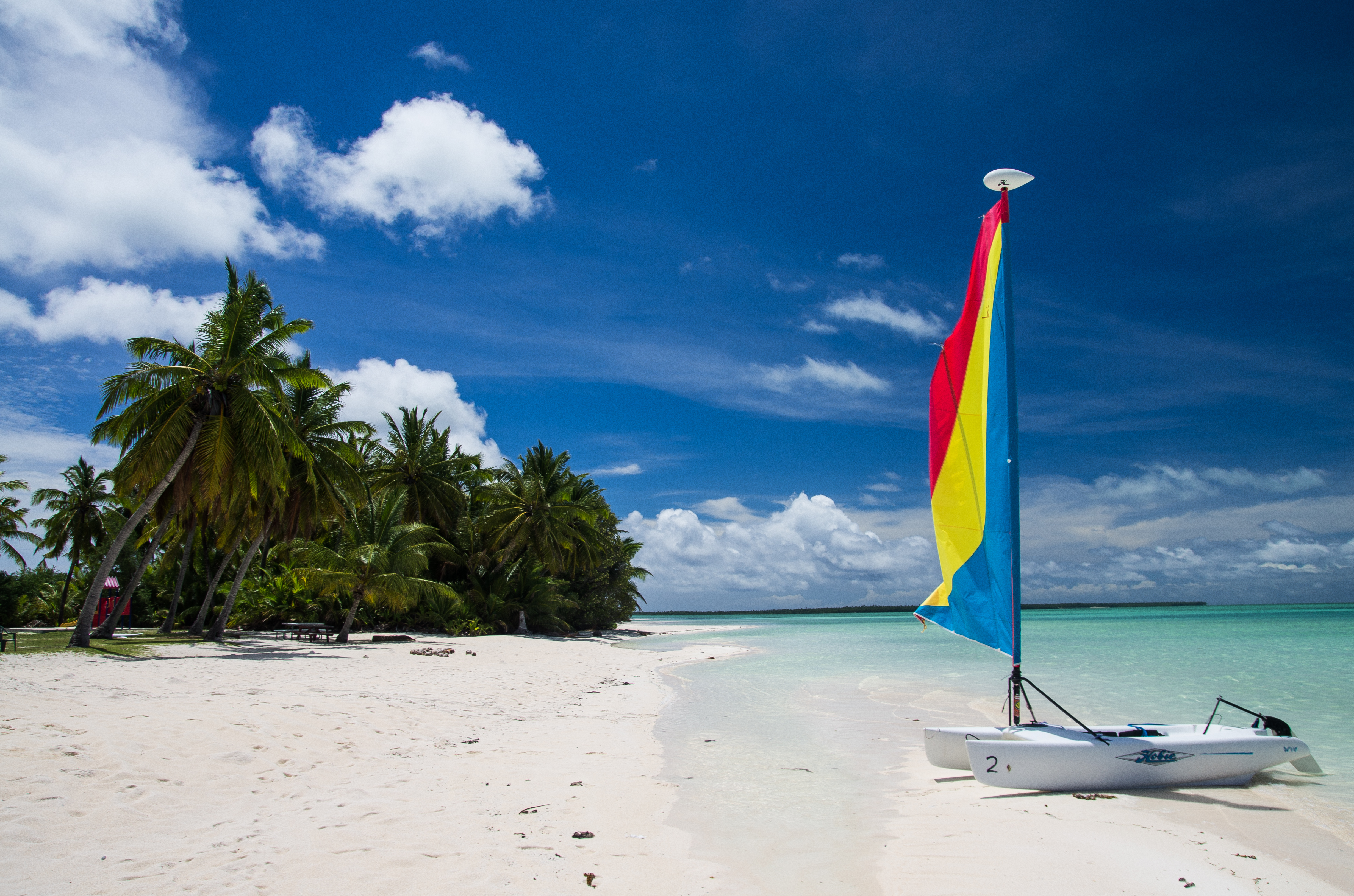
Direction Island Beach

PENT0352.jpg
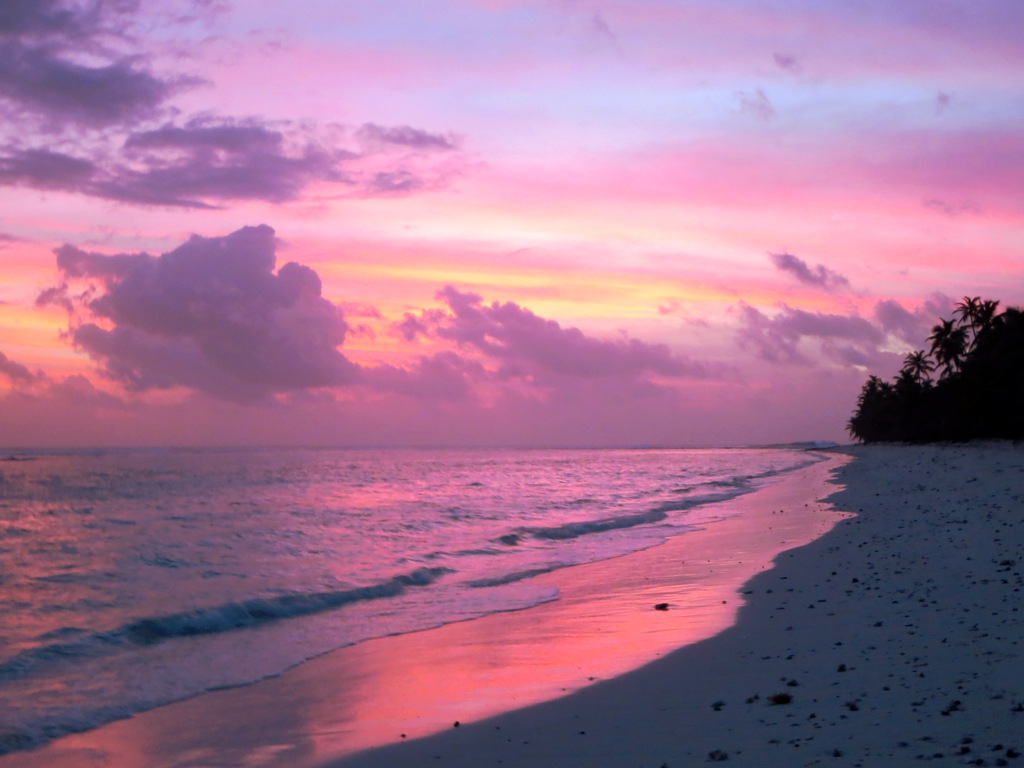
West Island Sunset

PENT0371-Edit.jpg
PENT0291.jpg
PENT0297.jpg
PENT0312.jpg
PENT0370.jpg

Pulu Maria

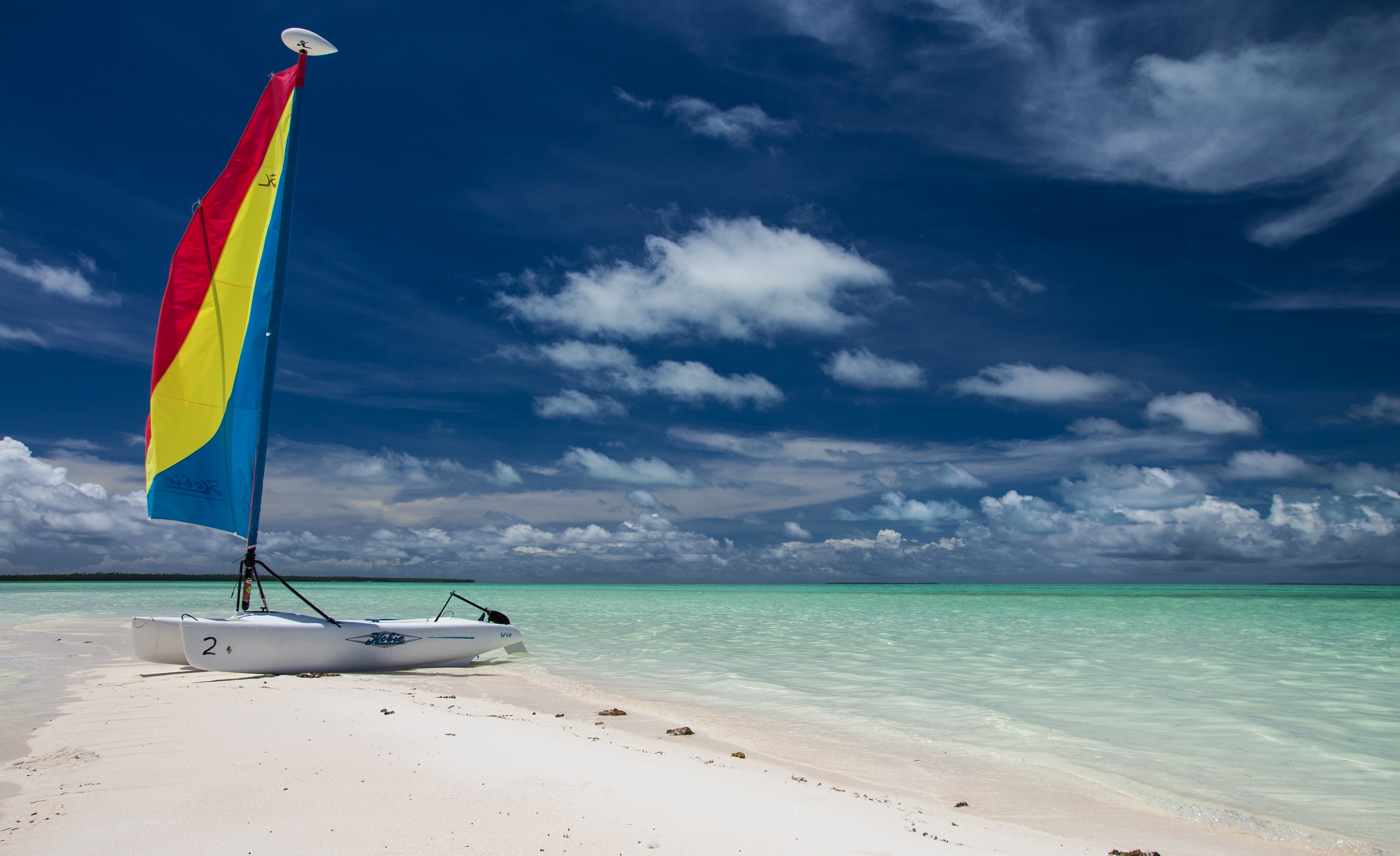
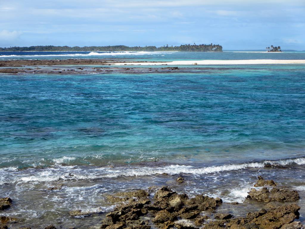
Lagoon Waves
Port Refuge
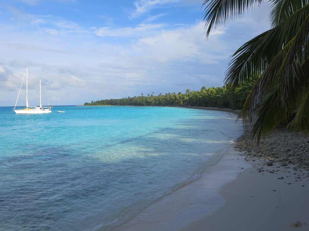
Cruising Yachts
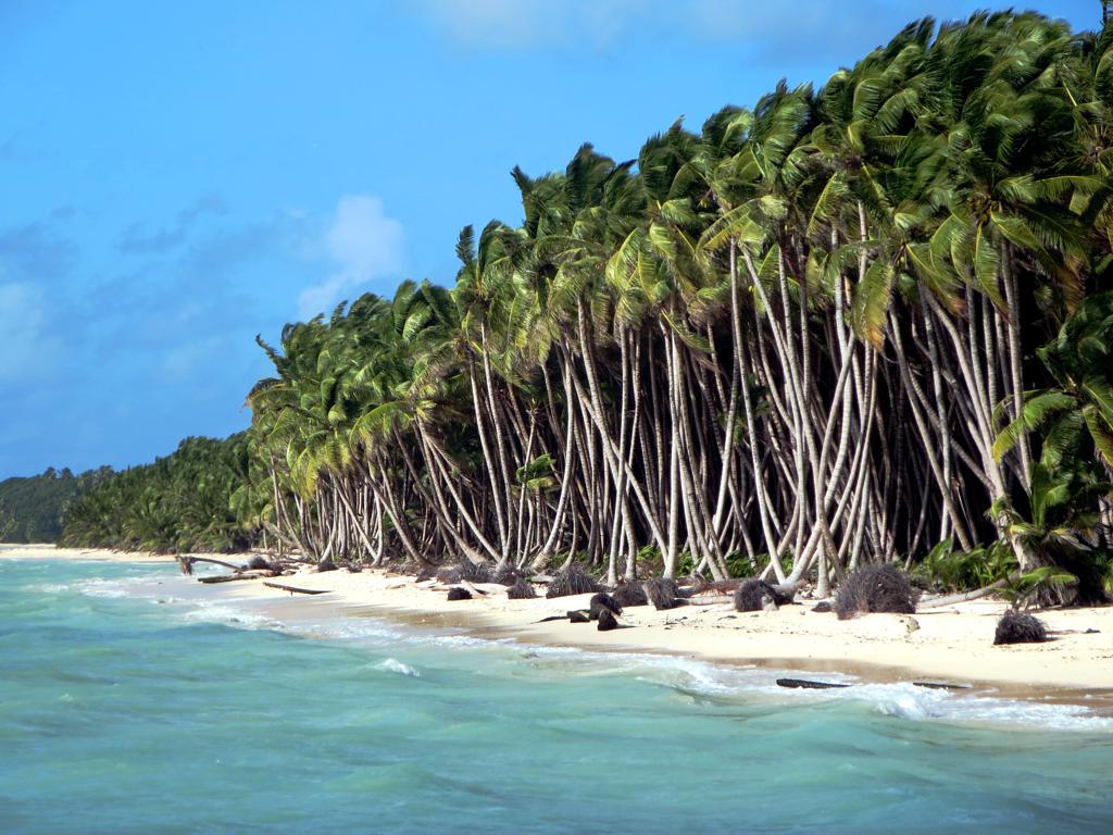
Coconut Plantation
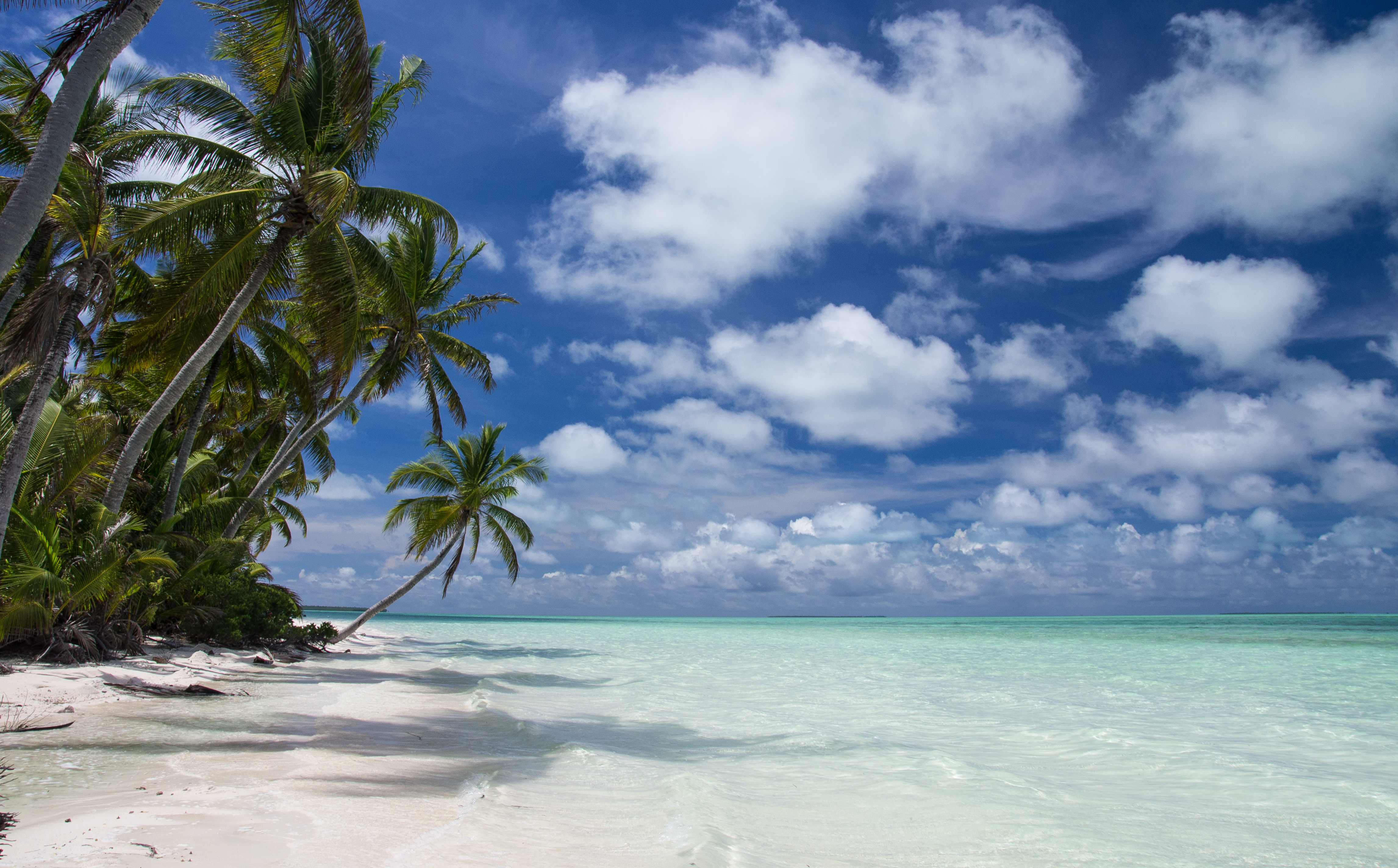
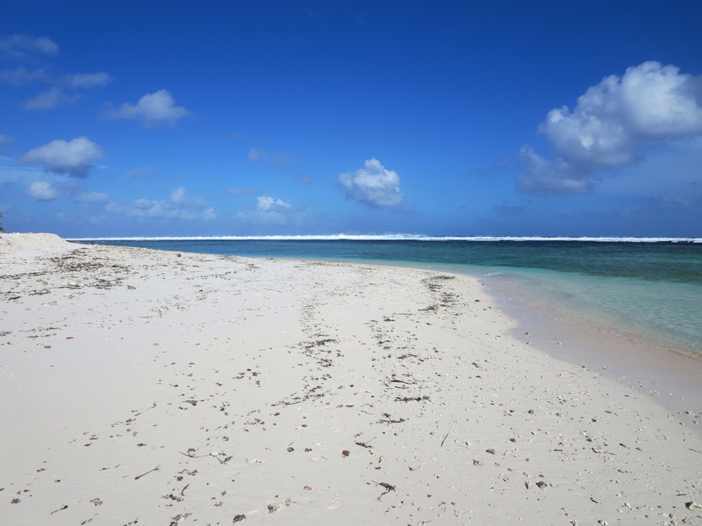
West Coast
South Lagoon
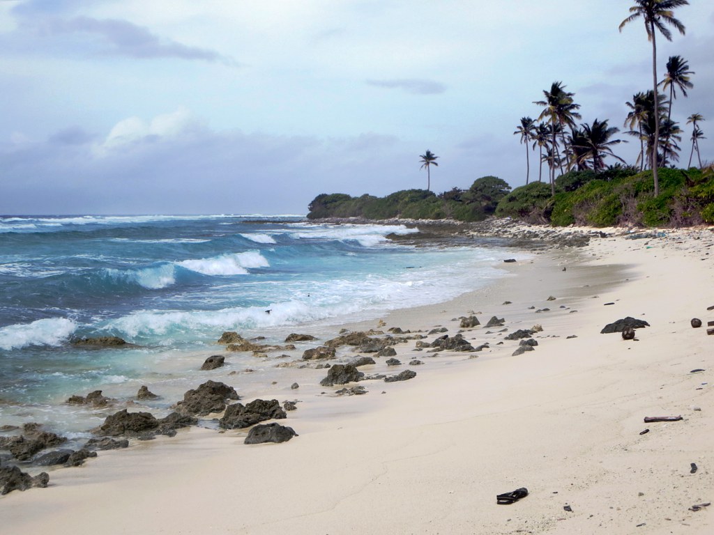
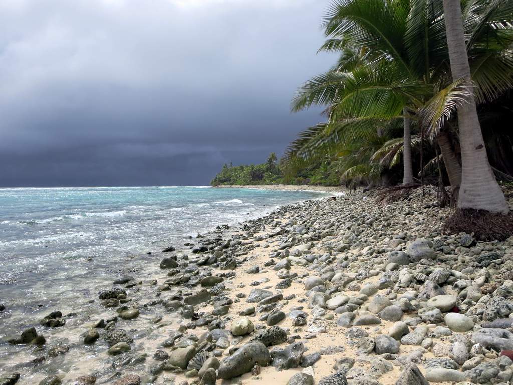
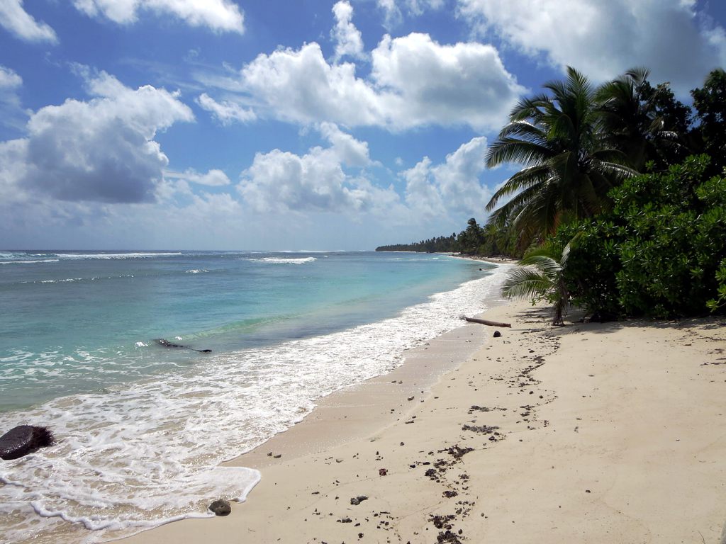
Ocean Beach
North Point

Ocean Beach

Coconut Trees
The Rip
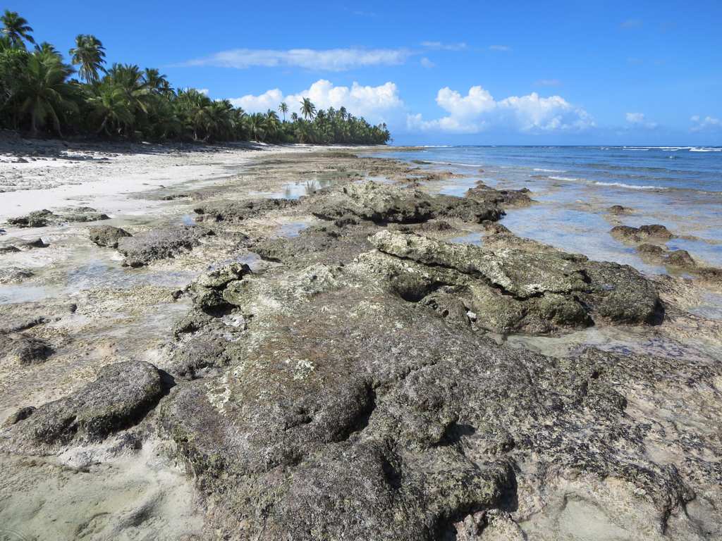
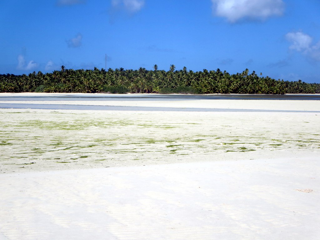
Tidal Pools
Topographic Map of West Island, Cocos (Keeling) Islands
Find elevation by address:

Places in West Island, Cocos (Keeling) Islands:
Places near West Island, Cocos (Keeling) Islands:
Recent Searches:
- Elevation of Tenjo, Cundinamarca, Colombia
- Elevation of Côte-des-Neiges, Montreal, QC H4A 3J6, Canada
- Elevation of Bobcat Dr, Helena, MT, USA
- Elevation of Zu den Ihlowbergen, Althüttendorf, Germany
- Elevation of Badaber, Peshawar, Khyber Pakhtunkhwa, Pakistan
- Elevation of SE Heron Loop, Lincoln City, OR, USA
- Elevation of Slanický ostrov, 01 Námestovo, Slovakia
- Elevation of Spaceport America, Co Rd A, Truth or Consequences, NM, USA
- Elevation of Warwick, RI, USA
- Elevation of Fern Rd, Whitmore, CA, USA