Elevation of West Fork, IA, USA
Location: United States > Iowa > Monona County >
Longitude: -96.089103
Latitude: 42.1734539
Elevation: 322m / 1056feet
Barometric Pressure: 98KPa
Elevation Map:
Satellite Map:
Related Photos:
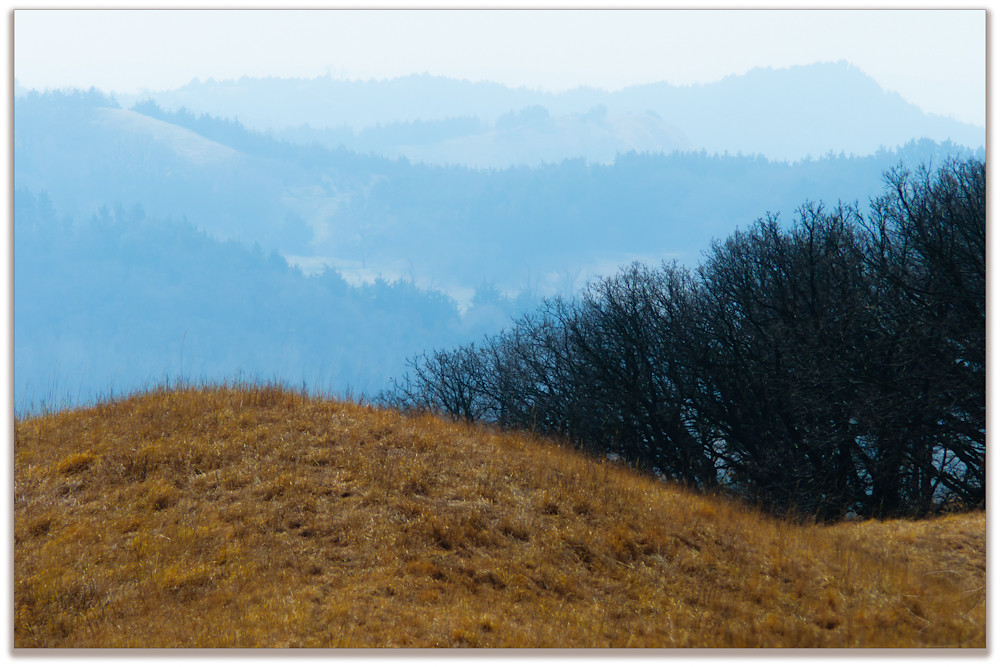
Loess Hills Vision

Spring Snow in the Loess Hills
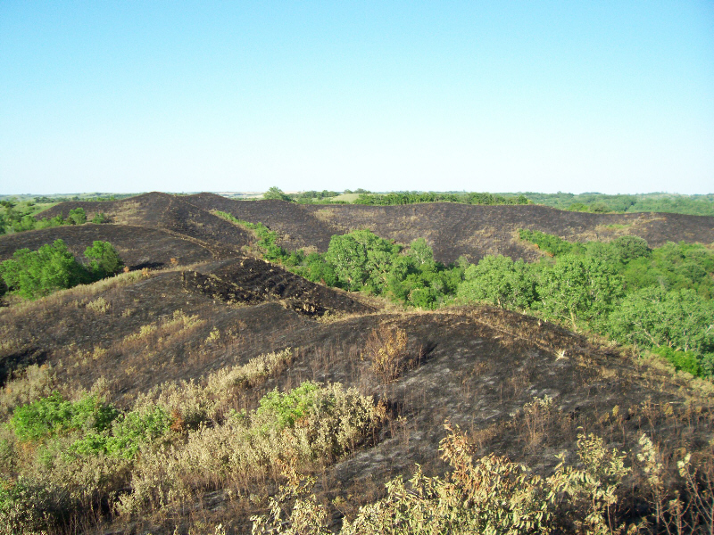
After management burn
IMG_1217 - Copy

IMG_1219 - Copy
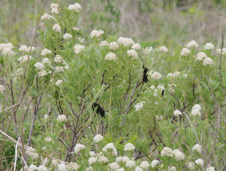
nature shots

Regal Fritillary (Speyeria idalia)
night shots

Loess Hills Wildlife Area - 001

Lonely Trailer House

Loess Hills Wildlife Area - 005

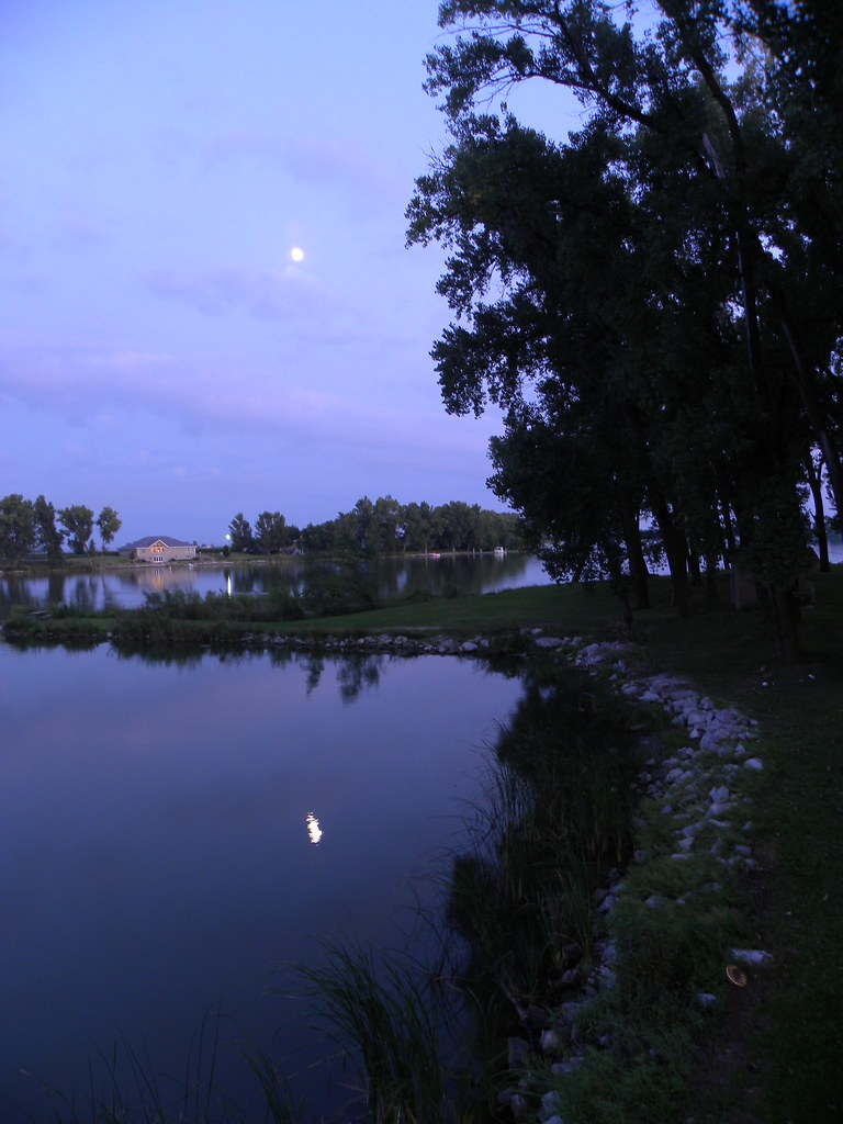
Sunrise- Lewis and Clark State Park- Monona County IA (3)

Marine Blue (Leptotes marina)

Hickory Hairstreak (Satyrium caryaevorum)
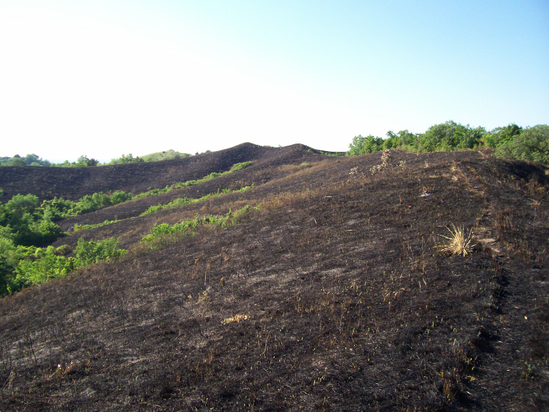
After management burn
Nevada Buckmoth (Hemileuca nevadensis) larvae on Redroot (Ceanothus herbaceus)
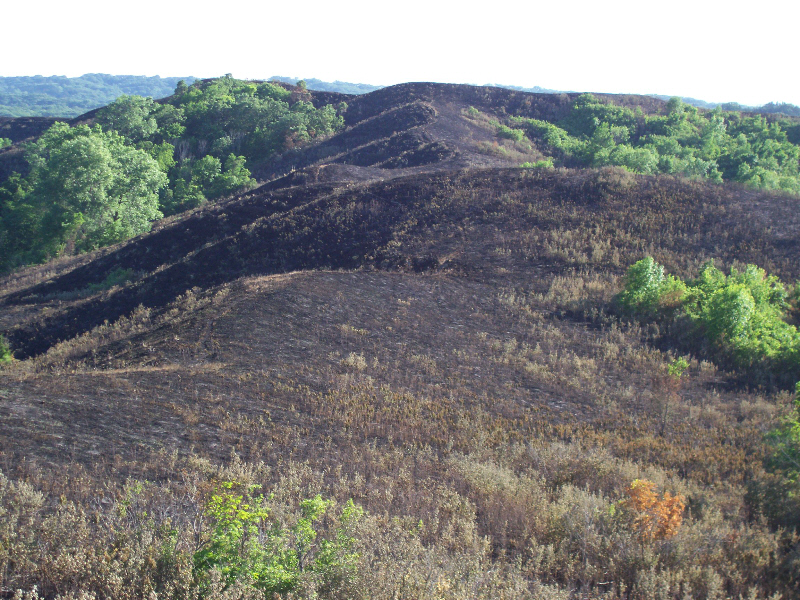
After management burn

After management burn
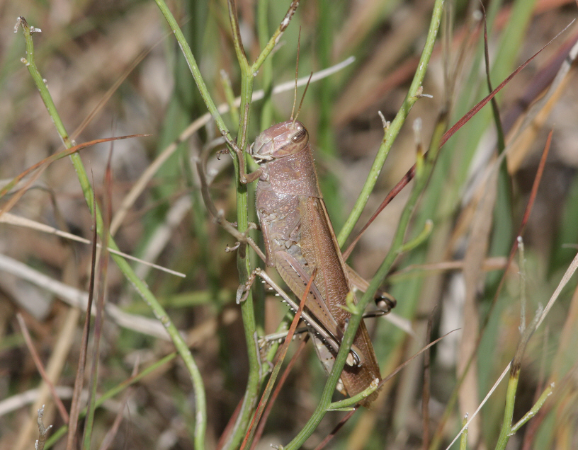
Spotted Bird Grasshopper (Schistocerca lineata)
Topographic Map of West Fork, IA, USA
Find elevation by address:

Places in West Fork, IA, USA:
Places near West Fork, IA, USA:
24615 Co Hwy E16
Co Hwy K45, Whiting, IA, USA
Whiting
24615 Co Hwy E16
Grant
603 18th St
Westendorf Mfg Co Inc
Onawa
2650 Iowa Ave N
Fairview
Monona County
Decatur
Quinnebaugh
Maple
10224 130th St
County Road S
Mapleton
Main St, Mapleton, IA, USA
Decatur
1875 County Rd S T
Recent Searches:
- Elevation of Fernwood, Bradenton, FL, USA
- Elevation of Felindre, Swansea SA5 7LU, UK
- Elevation of Leyte Industrial Development Estate, Isabel, Leyte, Philippines
- Elevation of W Granada St, Tampa, FL, USA
- Elevation of Pykes Down, Ivybridge PL21 0BY, UK
- Elevation of Jalan Senandin, Lutong, Miri, Sarawak, Malaysia
- Elevation of Bilohirs'k
- Elevation of 30 Oak Lawn Dr, Barkhamsted, CT, USA
- Elevation of Luther Road, Luther Rd, Auburn, CA, USA
- Elevation of Unnamed Road, Respublika Severnaya Osetiya — Alaniya, Russia