Elevation map of Wenchuan County, Ngawa Tibetan and Qiang Autonomous Prefecture, Sichuan, China
Location: China > Sichuan > Aba >
Longitude: 103.590386
Latitude: 31.476822
Elevation: 1432m / 4698feet
Barometric Pressure: 85KPa
Elevation Map:
Satellite Map:
Related Photos:

A view out over Wenchuan, the epicenter of the great Sichuan earthquake of 2008.

汶川新城

2013-01-19 16.41.43 HDR

2013-01-19 15.47.58

High noon.

所有照片-1564

Taoping village rooftops.

所有照片-1542
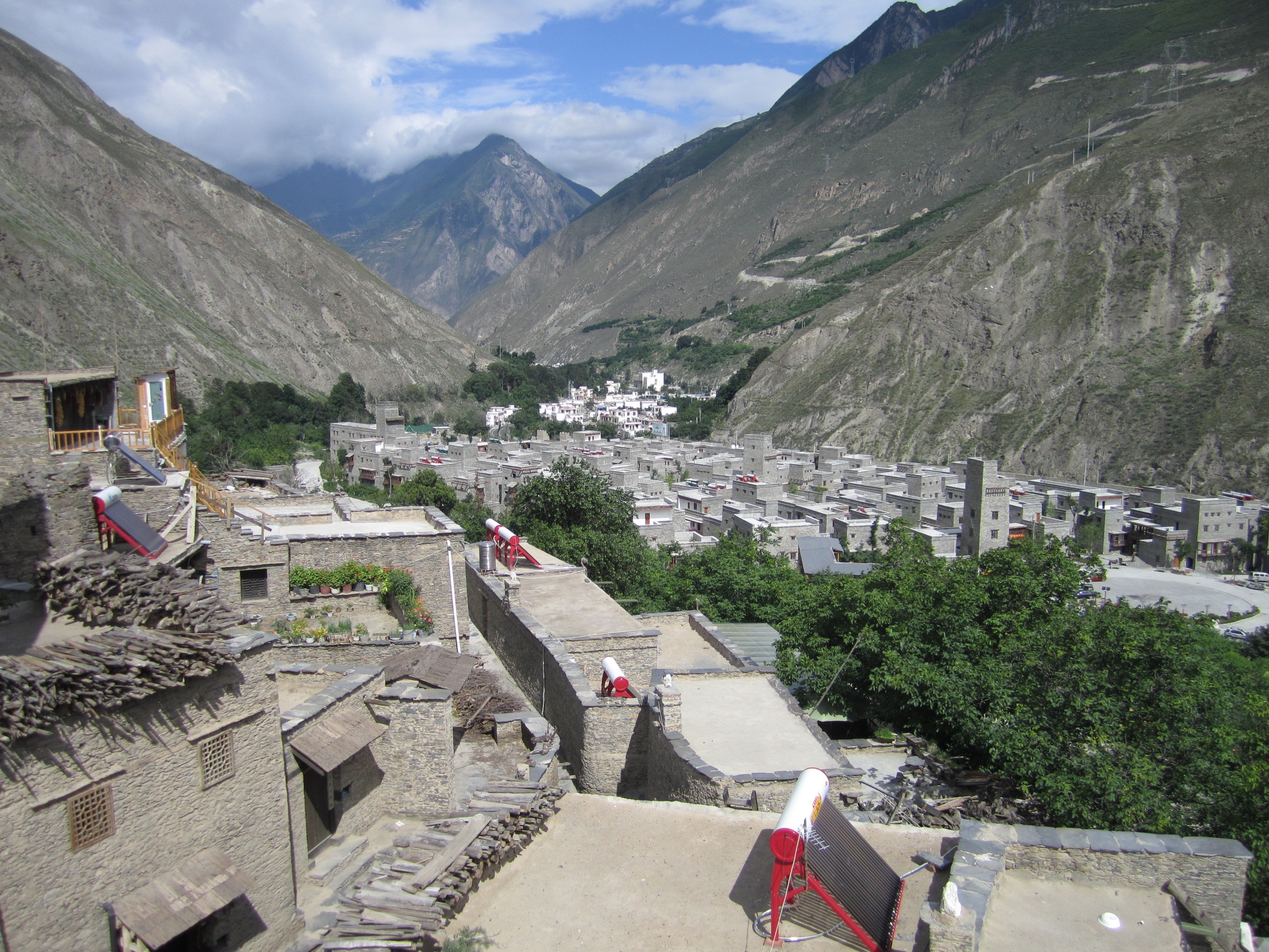
Looking out over old & new Taoping.

汶川
Topographic Map of Wenchuan County, Ngawa Tibetan and Qiang Autonomous Prefecture, Sichuan, China
Find elevation by address:

Places in Wenchuan County, Ngawa Tibetan and Qiang Autonomous Prefecture, Sichuan, China:
Places near Wenchuan County, Ngawa Tibetan and Qiang Autonomous Prefecture, Sichuan, China:
Taopingxiang
Jiuding Shan
Maoxian
Ganbaoxiang
Yingxiuzhen
Dujiangyan
Putouxiang
Wolongzhen
Bipenggou
Siguniang Mountain Changping Huwai Theme Homestay
Siguniang Mountain
四姑娘山长坪沟
Rilongzhen
Xinmo Zigou Niuchang
Recent Searches:
- Elevation of Lampiasi St, Sarasota, FL, USA
- Elevation of Elwyn Dr, Roanoke Rapids, NC, USA
- Elevation of Congressional Dr, Stevensville, MD, USA
- Elevation of Bellview Rd, McLean, VA, USA
- Elevation of Stage Island Rd, Chatham, MA, USA
- Elevation of Shibuya Scramble Crossing, 21 Udagawacho, Shibuya City, Tokyo -, Japan
- Elevation of Jadagoniai, Kaunas District Municipality, Lithuania
- Elevation of Pagonija rock, Kranto 7-oji g. 8"N, Kaunas, Lithuania
- Elevation of Co Rd 87, Jamestown, CO, USA
- Elevation of Tenjo, Cundinamarca, Colombia