Elevation of Wells Bayou Township, AR, USA
Location: United States > Arkansas > Lincoln County >
Longitude: -91.617801
Latitude: 33.8975143
Elevation: 49m / 161feet
Barometric Pressure: 101KPa
Elevation Map:
Satellite Map:
Related Photos:
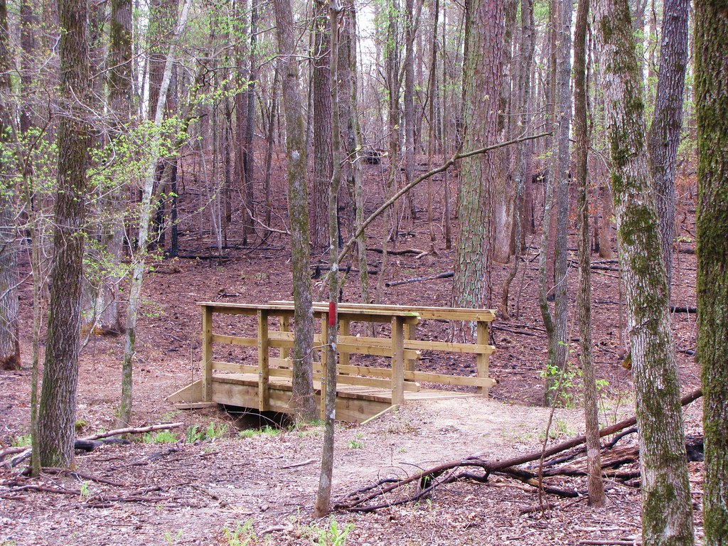
IMG_0483 (2)

IMG_0487 (2)
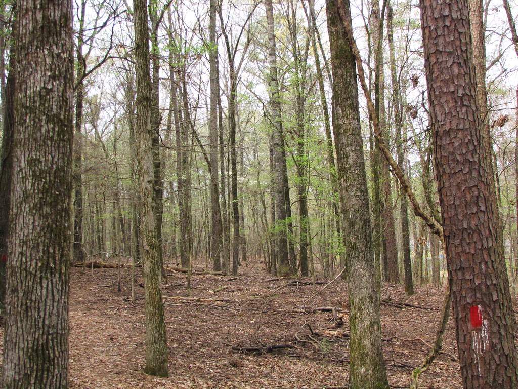
IMG_0494 (2)
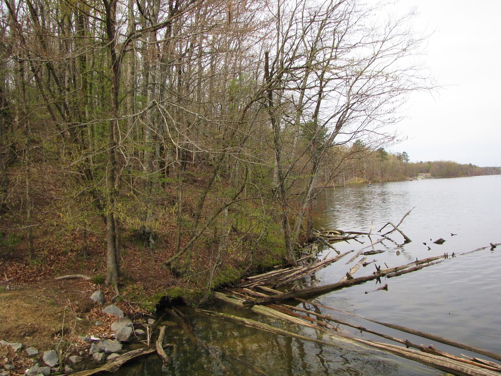
IMG_0489 (2)

IMG_0481 (2)

IMG_0492 (2)

IMG_0495 (2)

IMG_0484 (2)

IMG_0491 (2)

Good fishing out here.
Topographic Map of Wells Bayou Township, AR, USA
Find elevation by address:

Places in Wells Bayou Township, AR, USA:
Places near Wells Bayou Township, AR, USA:
CR 46, Wells Bayou Township, AR, USA
39 AR-83, Dumas, AR, USA
Johney Branch Rd, Dumas, AR, USA
AR-83, Gould, AR, USA
Smith Township
N Hwy, Smith Township, AR, USA
Widmer Ln, Dumas, AR, USA
Gould Township
Lincoln County
US-65, Gould, AR, USA
Gould
Randolph Township
AR-54, Dumas, AR, USA
US-65, Gould, AR, USA
Dumas
S Main St, Dumas, AR, USA
AR-11, Star City, AR, USA
Choctaw Township
Newton Rd, Grady, AR, USA
7 Pickens Rd, Pickens, AR, USA
Recent Searches:
- Elevation of Corso Fratelli Cairoli, 35, Macerata MC, Italy
- Elevation of Tallevast Rd, Sarasota, FL, USA
- Elevation of 4th St E, Sonoma, CA, USA
- Elevation of Black Hollow Rd, Pennsdale, PA, USA
- Elevation of Oakland Ave, Williamsport, PA, USA
- Elevation of Pedrógão Grande, Portugal
- Elevation of Klee Dr, Martinsburg, WV, USA
- Elevation of Via Roma, Pieranica CR, Italy
- Elevation of Tavkvetili Mountain, Georgia
- Elevation of Hartfords Bluff Cir, Mt Pleasant, SC, USA