Elevation of Wellington County Rd, Arthur, ON N0G 1A0, Canada
Location: Canada > Ontario > Wellington County > Wellington North > Arthur >
Longitude: -80.538346
Latitude: 43.8275983
Elevation: 460m / 1509feet
Barometric Pressure: 96KPa
Elevation Map:
Satellite Map:
Related Photos:

Drayton, Ontario, Public Library

Drayton, Ontario, Public Library

Drayton, Ontario, Public Library

Drayton, Ontario, Public Library

Drayton, Ontario, Public Library

Video Grab 7

DSB_2169 (Medium)

Luther Marsh Viewing Platform

Field edge, backlit

Burning off the morning mist
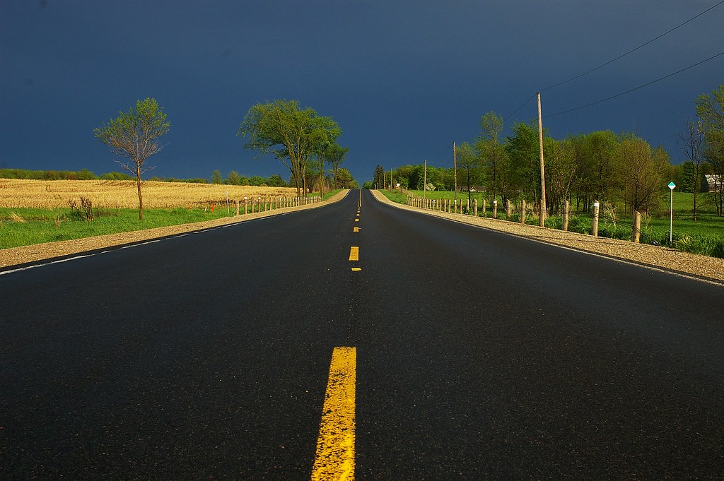
Bad Weather Behind Us

Farmhouse through a fencerow

Concrete bow truss bridge

20160620-085A7445.jpg

Parallel lines

for Blue Monday

Blades, stocks, sky

Mooooooove Over
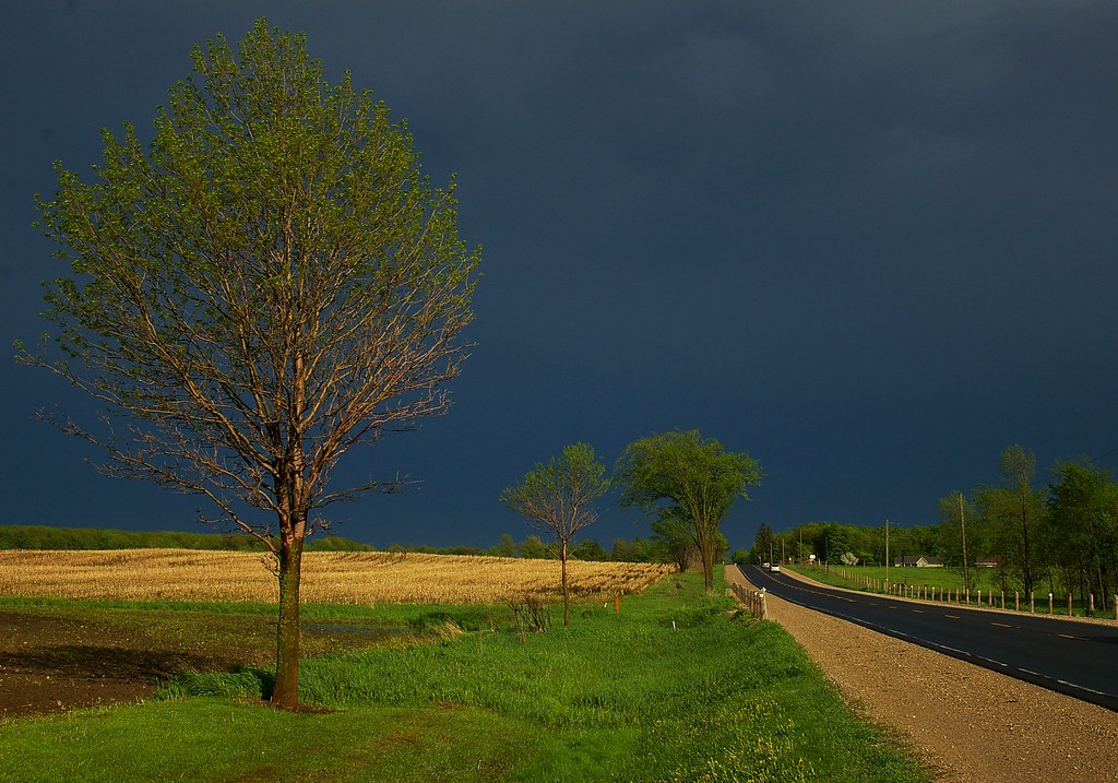
Sun Came Out As The Storm Passed

Grass, corn, sky

canola field

20140617-_E1A4555.jpg

Wall Cloud Cycling 2

Wall Cloud Cycling

Le mélèze _DSC9097

Center of Road

_DSC1165 Anx2 1300w Q90

_DSC1160 Anx2 1300w Q90

Drayton Trail
Topographic Map of Wellington County Rd, Arthur, ON N0G 1A0, Canada
Find elevation by address:

Places near Wellington County Rd, Arthur, ON N0G 1A0, Canada:
Walker Environmental - All Treat Farms
Arthur
Wellington County
7382 16 Line
7431 14 Line
Petherton
Wellington North
7506 Side Rd 7
7506 Side Rd 7
7076 Jones Baseline
Alma
7 Peel St E, Alma, ON N0B 1A0, Canada
Kenilworth
8256 10 Line
36 4th Ave
7167 7 Line
Monck
Drayton
Mapleton
7133 Wellington County Rd 11
Recent Searches:
- Elevation of Congressional Dr, Stevensville, MD, USA
- Elevation of Bellview Rd, McLean, VA, USA
- Elevation of Stage Island Rd, Chatham, MA, USA
- Elevation of Shibuya Scramble Crossing, 21 Udagawacho, Shibuya City, Tokyo -, Japan
- Elevation of Jadagoniai, Kaunas District Municipality, Lithuania
- Elevation of Pagonija rock, Kranto 7-oji g. 8"N, Kaunas, Lithuania
- Elevation of Co Rd 87, Jamestown, CO, USA
- Elevation of Tenjo, Cundinamarca, Colombia
- Elevation of Côte-des-Neiges, Montreal, QC H4A 3J6, Canada
- Elevation of Bobcat Dr, Helena, MT, USA