Elevation of Weirwood Dr, Crest Park, CA, USA

Location: United States > California > San Bernardino County > Lake Arrowhead > Crest Park >

Longitude: -117.20125

Latitude: 34.234574

Elevation: 1722m / 5650feet

Barometric Pressure: 82KPa

Elevation Map:

elevation map of Weirwood Dr, Crest Park, CA, USA

Satellite Map:

Satellite map of Weirwood Dr, Crest Park, CA, USA

Related Photos:

trees sky nature canon landscape outdoors view hiking powershot boulders pines southerncalifornia hps lakearrowhead s100 sanbernardinocounty sanbernardinonationalforest sanbernardinomountains highclouds hundredpeakssection mountmarielouise
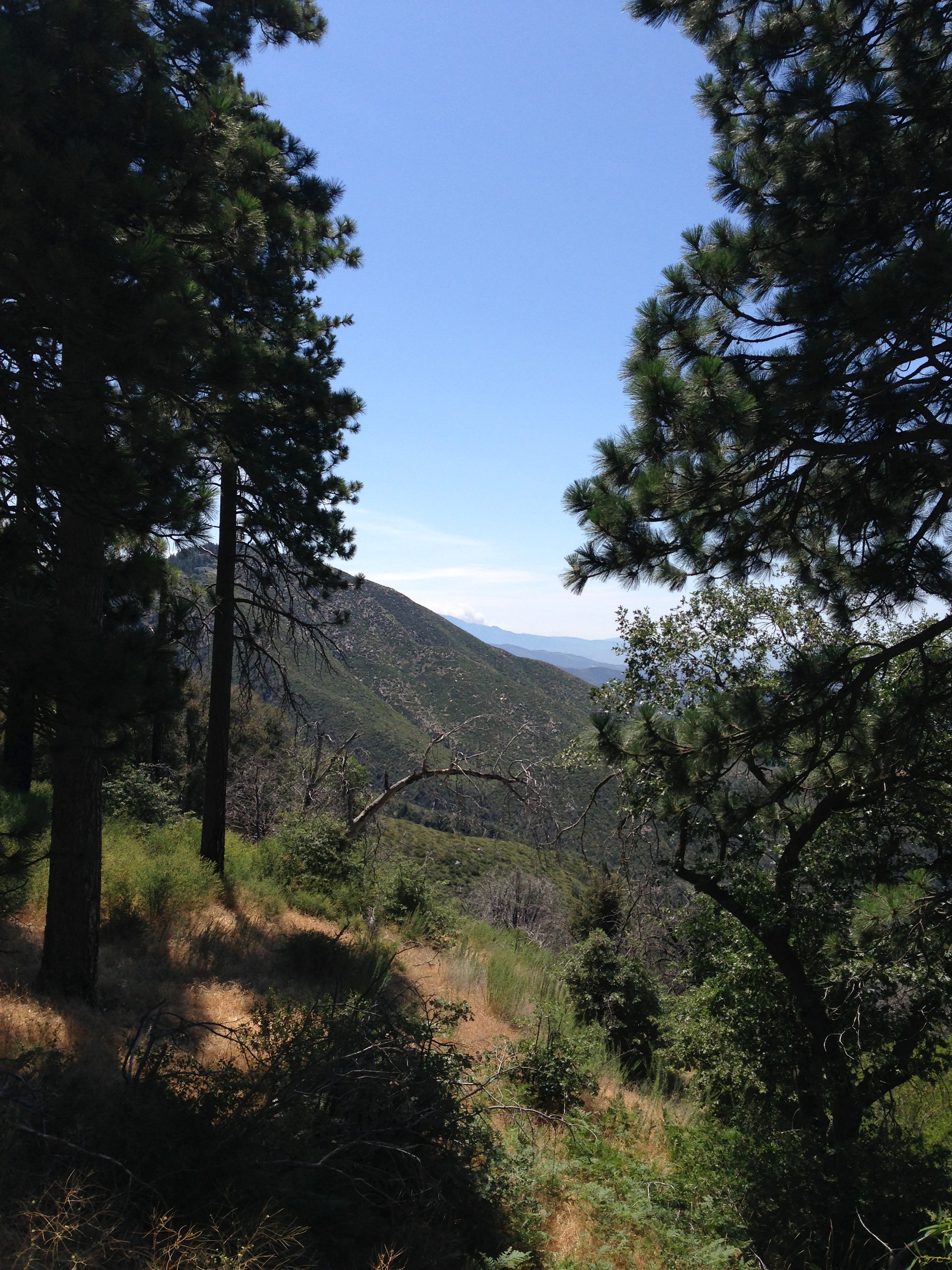
South from Marie Louise
california old food signs green texture vintage typography lights flickr neon grunge illumination rusty retro queens signage font grungy smugmug sanbernardino explored canon5dmarkii marcshurphotographycom marcshur
Queen's Fine Food
california abandoned hotel route66 1938 elcajon rusty motel americana arrow
El Cajon Motel
california camera 6 color abandoned 120 6x6 mamiya film analog mediumformat square concrete 50mm kodak air norton ishootfilm sage negative bunker socal service analogue mamiya6 airforce shelter combat bomb usaf portra derelict radar coldwar blockhouse sanbernardino emulsion inlandempire c41 norad 160nc bombproof primes kodakportra160nc airdefense eyetwist 6mf mamiya6mf nortonafb ishootkodak f35l epsonv750pro aicolor recentlyprocessedfilm aihollywood filmtagger eyetwistkevinballuff mamiya75mmf35l colornegativec41 filmexifai aircombatcameraservice radarintercept
air combat camera service. san bernardino, ca. 2011.
city longexposure night canon landscape outdoors lights view scenic nationalforest nighttime 5d southerncalifornia markii inlandempire sanbernardinomountains transverserange
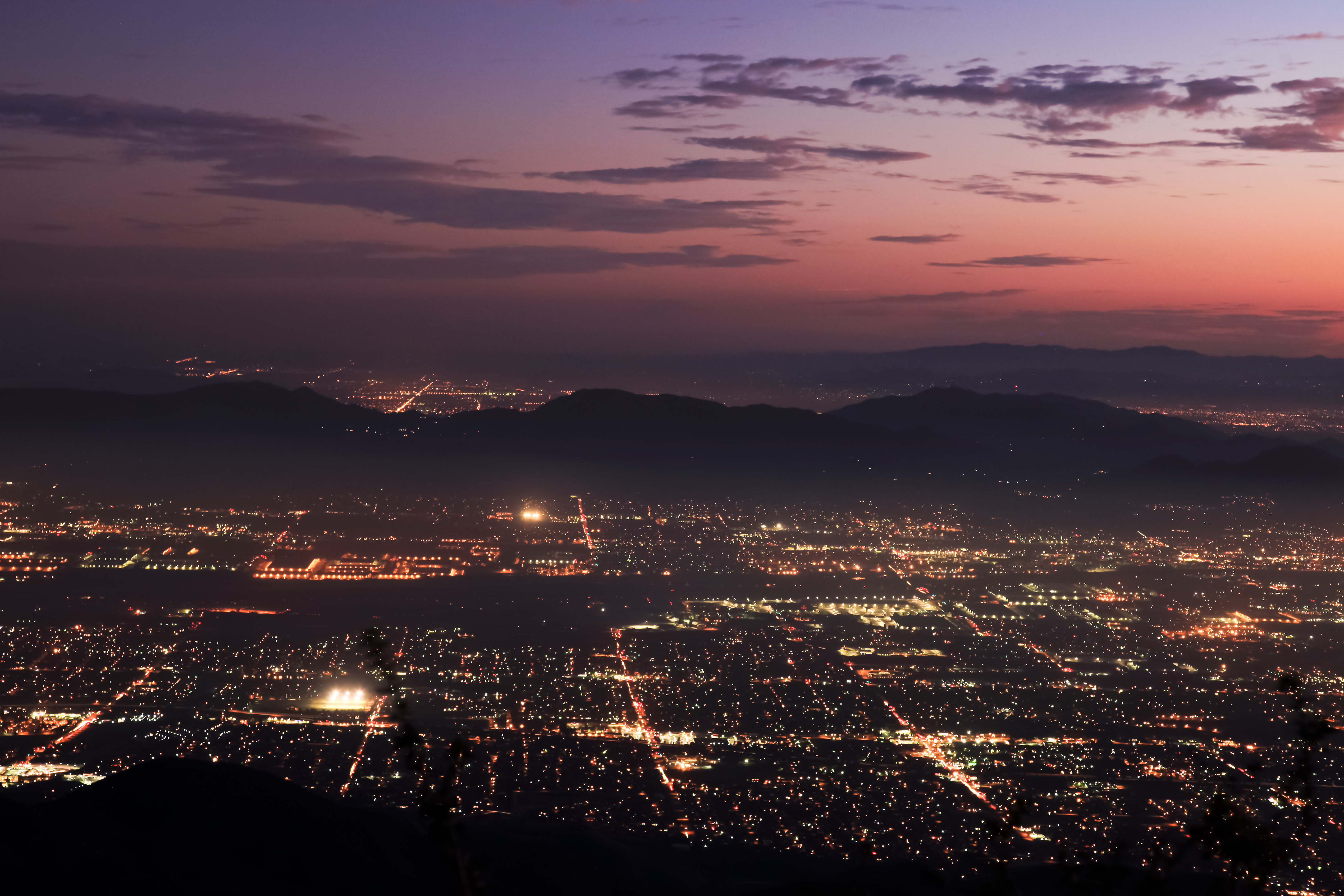
Nighttime over the Inland Empire
birds mygearandme
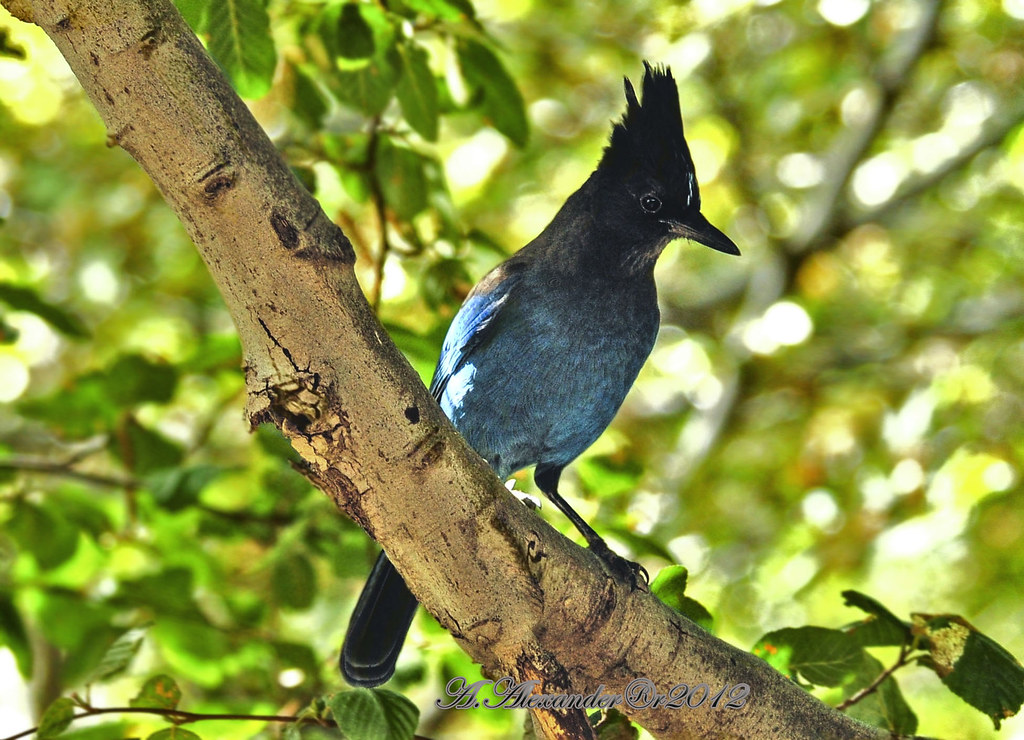
AXA_3660Style creek San Bernardino ca(Steller Jay)
california signs postprocessed texture sign photoshop fence square typography airport unitedstates graphic text letters norton chain numbers signage link type airforce usaf processed vignette waterbomber brac smokeythebear typographic sanbernardino supersaturated inlandempire postprocessing forestservice usfs lensblur secretrecipe digixpro eyetwist signaltonoise firebomber nortonafb prcssd airtankerbase eyetwistkevinballuff decomissionedairforcebase
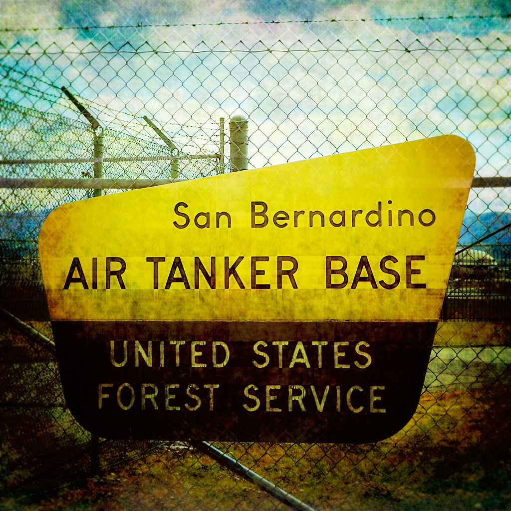
prcssd. air tanker base. san bernardino, ca. 2011.
california sunset mist mountains green clouds landscape nikon hills arrowhead sanbernardino rimoftheworld jameshale jimhale shutterjack
Islands in the Mist
Cal-3 024
california castle kids youth forest nikon crestline day remember view clear overlook wander reminisce memorylane lakearrowhead sanbernardino rimoftheworld sanbernardinomountains highway18 nikond90 babylonandbeyond
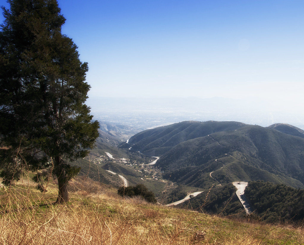
A View of the Mountain Road in Crestline, California
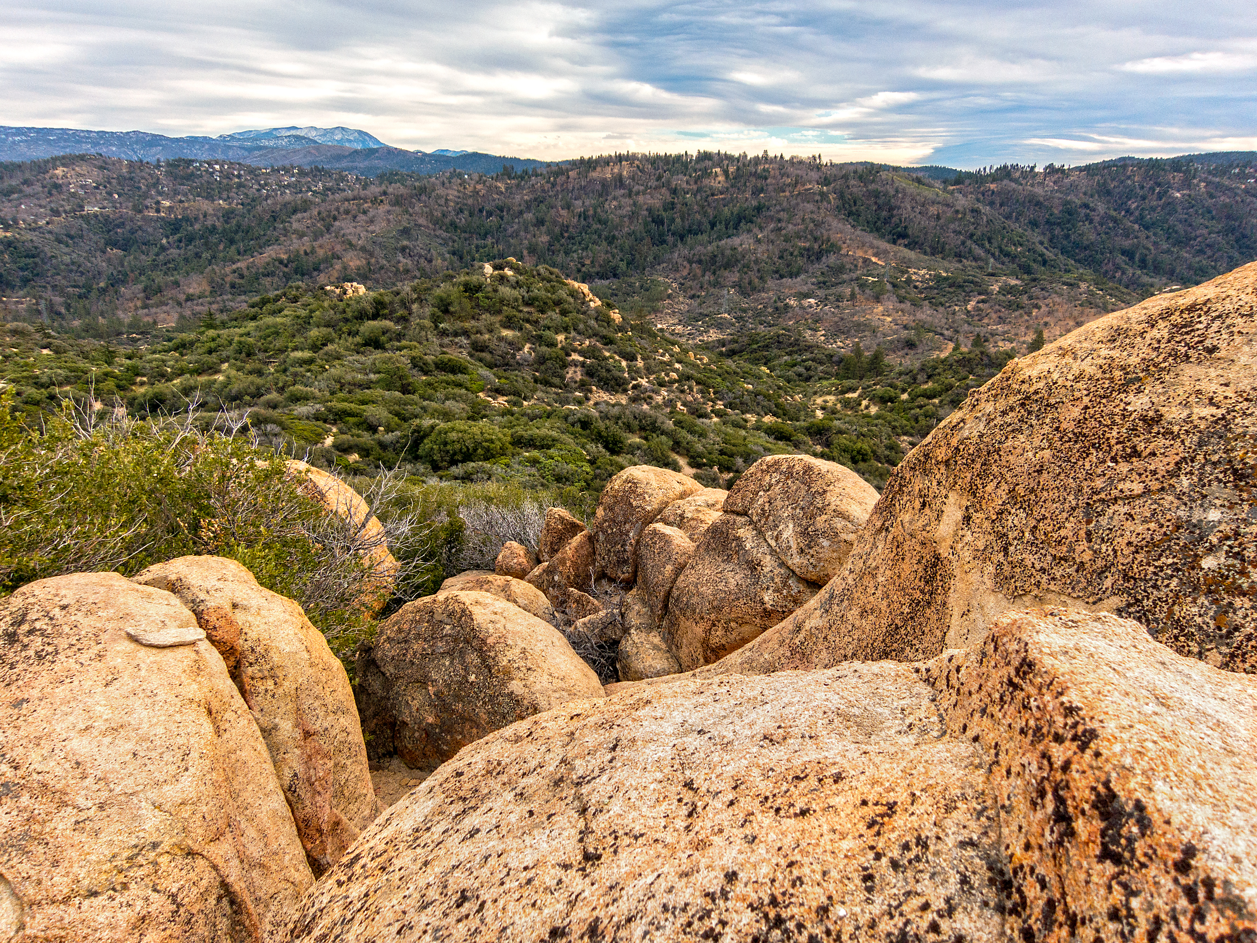
shadow green nature canon landscape outdoors view scenic nationalforest vegetation 5d geography geology southerncalifornia folds markii chaparral topography inlandempire sanbernardinomountains transverserange
Crumbled Landscape
california up trains unionpacific ge railroads sanbernardino cajonpass u50c
A Face Only UP Could Love
nikon san running springs d200 bernardino 2870mmf28d aplusphoto flickrlovers
A Mixture of Fog and Clouds
california camera signs postprocessed texture sign photoshop square concrete typography airport graphic eagle text letters norton sage bunker numbers signage type weathered airforce usaf processed vignette radar brac blockhouse typographic sanbernardino supersaturated inlandempire postprocessing reconaissance recon combatcamera lensblur secretrecipe digixpro eyetwist signaltonoise nortonafb prcssd eyetwistkevinballuff decomissionedairforcebase
prcssd. combat camera. san bernardino, ca. 2011.
nikon san running springs d200 bernardino 2870mmf28d flickrlovers “nikonflickraward”
Above the Clouds
nikon san running springs d200 bernardino 2870mmf28d aplusphoto flickrlovers
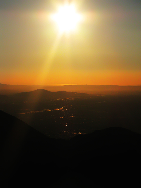
Thanksgiving Sunset HDR
trees snow chairlift iphone
View from a chairlift
square lofi squareformat iphoneography instagramapp uploaded:by=instagram foursquare:venue=50dfa9bee4b0c6dcc06b339a
Morning #view #snow
shadow green nature canon landscape outdoors view scenic nationalforest vegetation 5d geography geology southerncalifornia folds markii chaparral topography inlandempire sanbernardinomountains transverserange
Green Topographic
california firetower marinelayer lakearrowhead
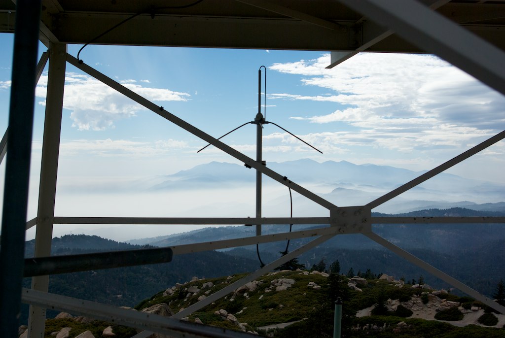
View from the ladder
ocean sunset beach searchthebest sunsets pacificocean orangecounty runningsprings sanbernardinocounty rimoftheworld sanbernardinonationalforest
The Distant Pacific
california sunset mountain forest landscape smog dusk photomerge 28 sanbernadino urbanlimit a 77 son y 1650m m
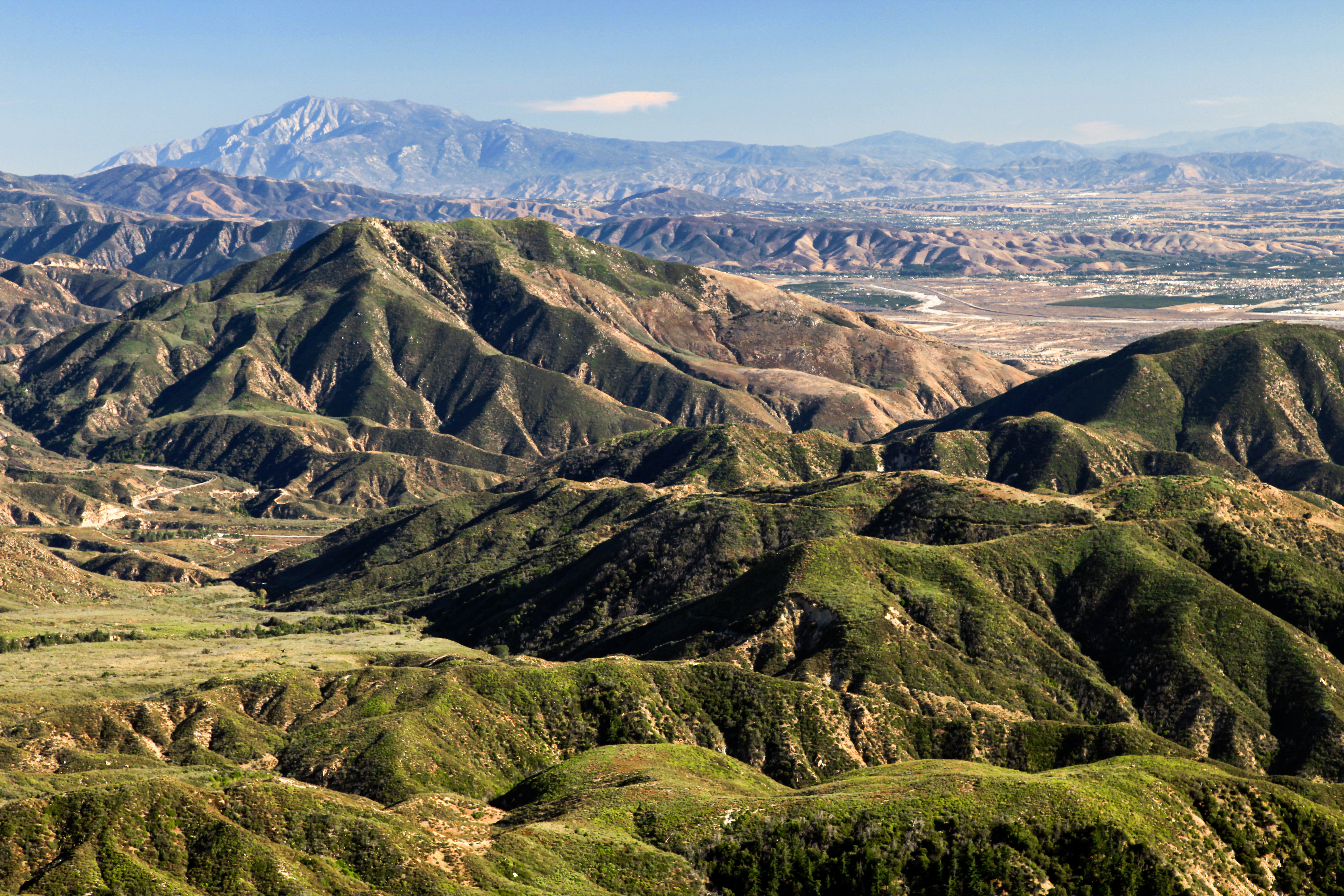
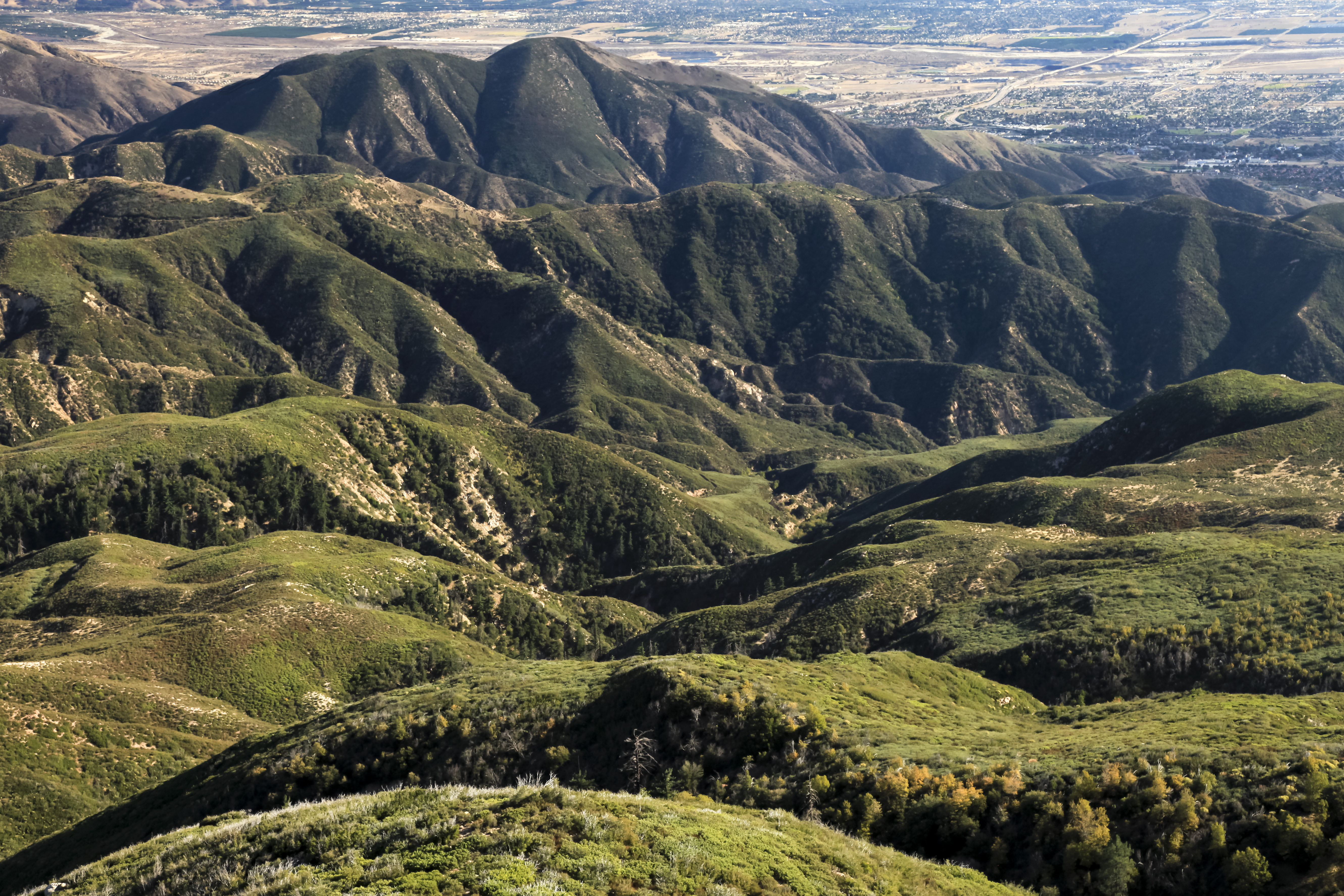
San Bernardino city and National Forest
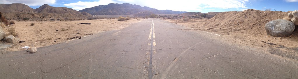
california road panorama nature landscape nikon alone desert sigma lonely 18250mm d5100
Deserted highway
california nature landscape woods stream filter nd deepcreek bolders sanbernardinomountains paulknight quixoteimagescom
110-365 Fishing Reconnaissance
california ca old railroad travel school vacation sky usa santafe 2004 train photoshop landscape photo nikon san track december day skies photographer shot cs2 diesel cloudy famous picture engine rail adobe mow coolpix locomotive backintheday 5000 southerncalifornia ge bnsf westbound blvd cajon bernardino i15 adjust infocus geep burlingtonnorthern emd p42 cajonpass denoise electromotivedivision gp35 transcon topazlabs photographersnaturecom davetoussaint cajonsubdivision
2004 Westbound MoW train in Verdemont, from my collection.
california blue trees sky mountains fog clouds lakearrowhead rimoftheworldhighway canonrebelt4i
On the Rim of the World
california canon rebel canyon xsi deepcreek
Deep Creek, California
california travel losangeles unitedstates twinpeaks highlighted sanbernardino 24mmf28 nikond7000
2074 Vista
clouds darkstacktrain intermodal cajonsubdivision westbound es44dc bnsf burlingtonnorthernsantafe cajonpass sanbernardino california usa nature travel landscape canon 40d photographersnaturecom photo picture photographers davetoussaintcom 2010 davetoussaint
Westbound Intermodal out of the Storm
square squareformat iphoneography instagramapp uploaded:by=instagram foursquare:venue=4c37b02d2c8020a105838900
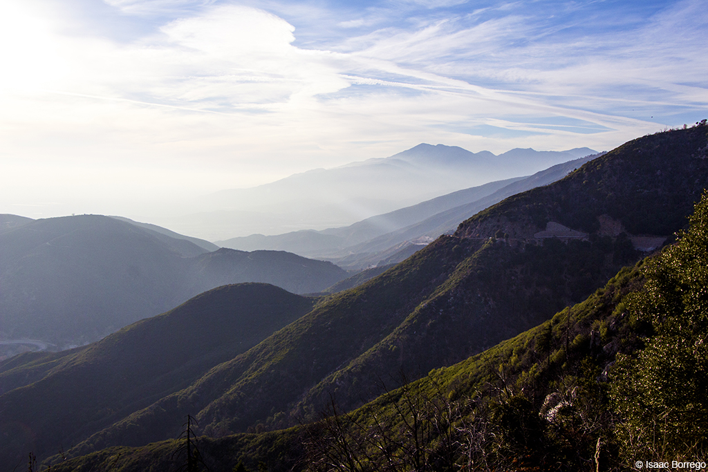
San Bernardino National Forest, California
square squareformat sutro iphoneography instagramapp uploaded:by=instagram foursquare:venue=51042328e4b073eb9714ffe2
"Just #go." #saturday #goodmorning #runningsprings
california railroad travel copyright usa santafe 20d nature train canon landscape photo rail 66 route bnsf 2007 hoppers burlingtonnorthern cajonpass verdemont photographersnaturecom davetoussaint davetoussaintcom cajonsubdivision goingawaytracks
New Hoppers Going Away
california travel sky panorama usa nature canon landscape photo day cloudy exploring panoramic pro 2009 sanbernardino autopano 40d verdemont photographersnaturecom davetoussaint
Wide Skies Panorama
square lofi squareformat iphoneography instagramapp uploaded:by=instagram foursquare:venue=500b1edae4b0ddfaa6ed263f
#sanbernardinomountains #mountains #runningsprings #hwy18
california canon reflections rebel xsi deepcreek canyonreflections
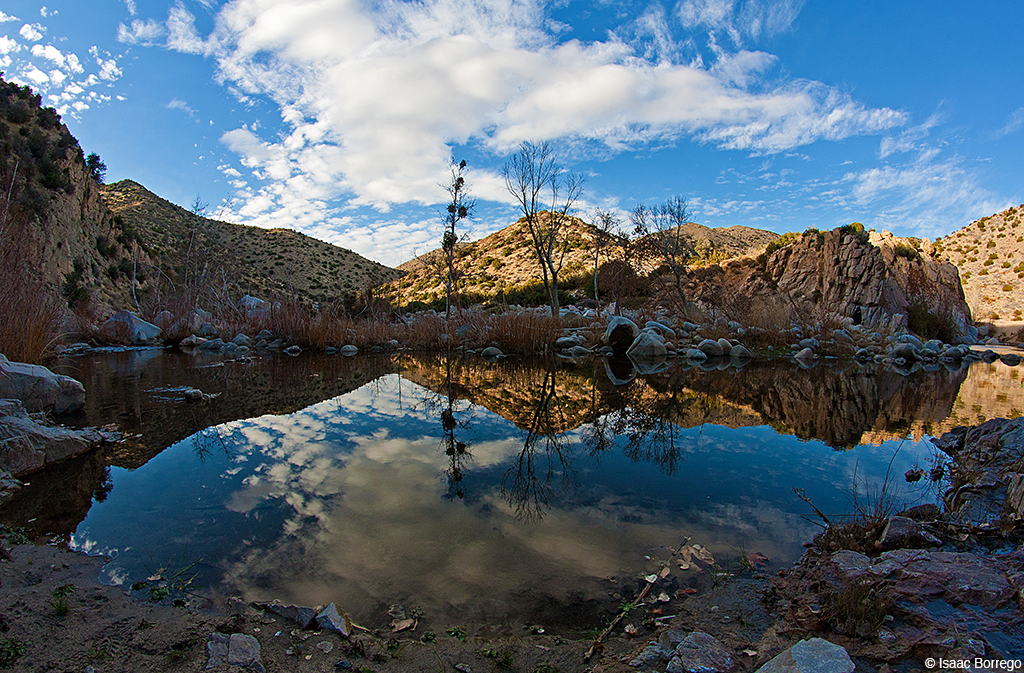
Canyon Reflections - Deep Creek, California
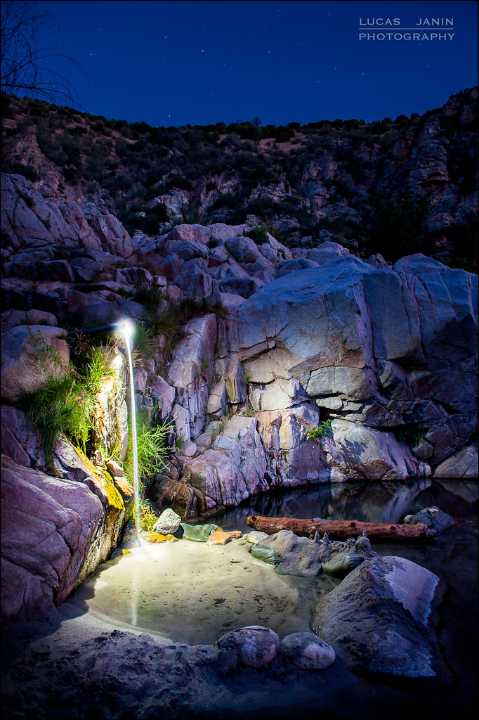
california longexposure sky usa mountain plant lightpainting color green water grass rock night montagne plante river iso800 star nikon outdoor vert ciel 24mm nikkor hotspring nuit couleur herbe fleuve lightroom f50 sanbernardinocounty longueexposition 300sec nikond700 lucasjanin afsnikkor2470mmf28ged lightroom4
Waterfall of Light
california sky mountains clouds hills peaks mountbaldy rimoftheworldhighway canonrebelt4i
Towering Mountains
square squareformat amaro iphoneography instagramapp uploaded:by=instagram foursquare:venue=4cb2186caef16dcb39bdbe54
#GreenValleyLake
mountains fog sunrise landscape smog altitude bearmountain skiresort bigbearlake lakearrowhead sanbernardino catchycolorsblack
Above it all
california trees mountain mountains tree nature water creek forest landscape pond nikon san crestline stream southern shade bernardino waterscape d3100
Mountain Creek
hipstamatic blackeysbwfilm mattyalnlens
Dead But Still Living