Elevation of Wedgewood Way, Livermore, CA, USA
Location: United States > California > Alameda County > Livermore >
Longitude: -121.77595
Latitude: 37.6581467
Elevation: 171m / 561feet
Barometric Pressure: 99KPa
Elevation Map:
Satellite Map:
Related Photos:

Simple Tree & Cloud

wheels on fire
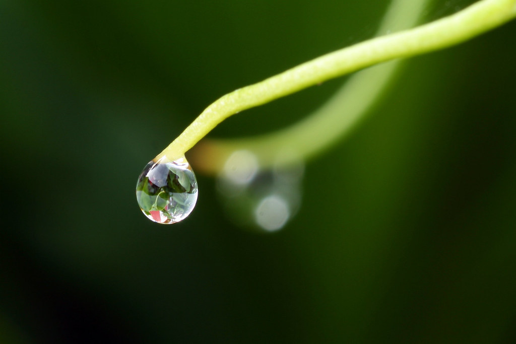
Dew Droplet

Red / Blue Waterdrop
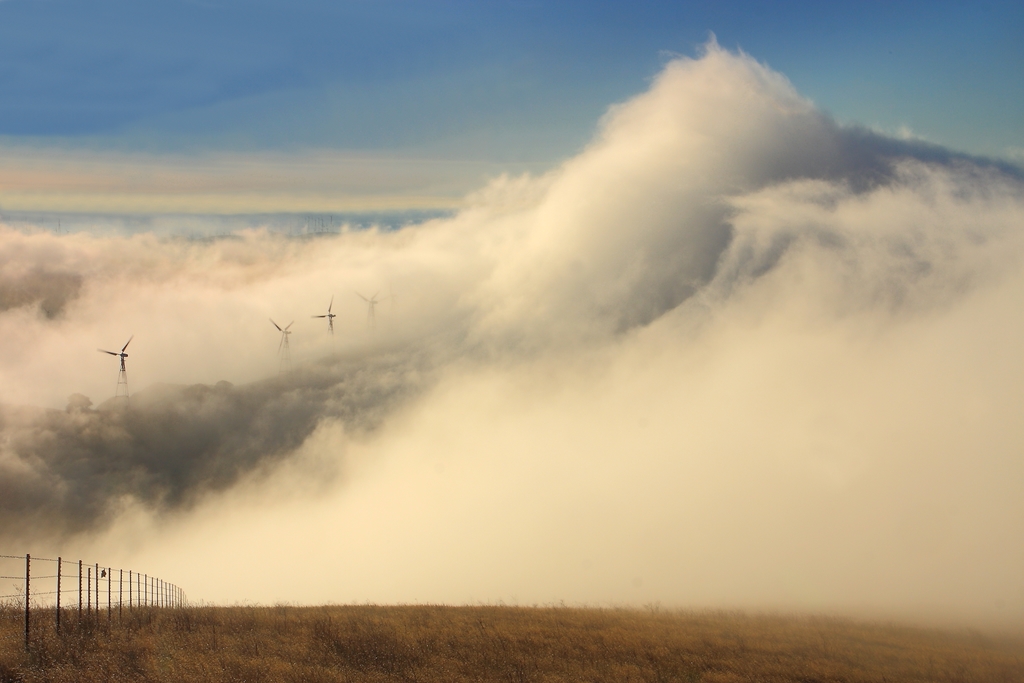
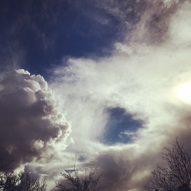
big cloud-brushy peak
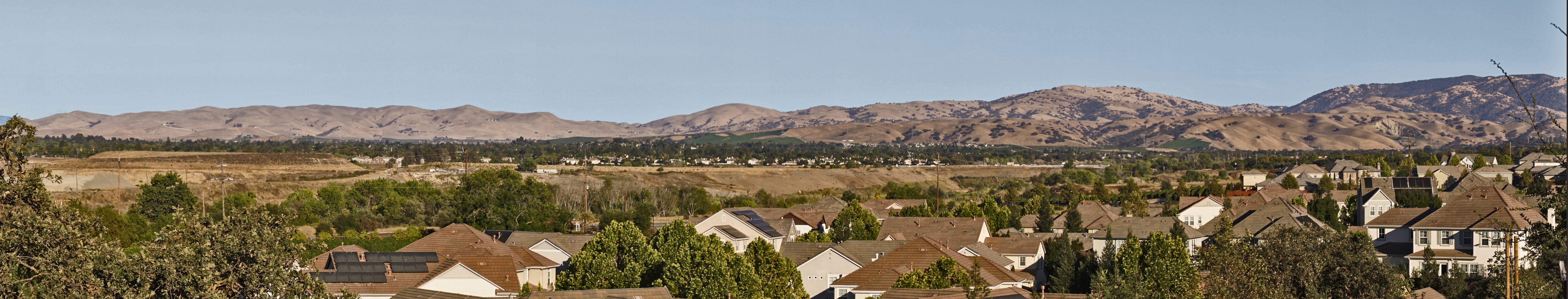
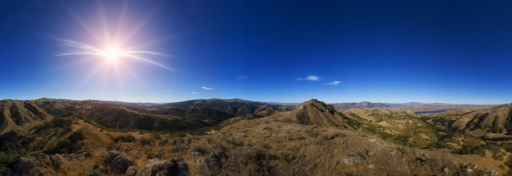
Livermore - the Big Picture
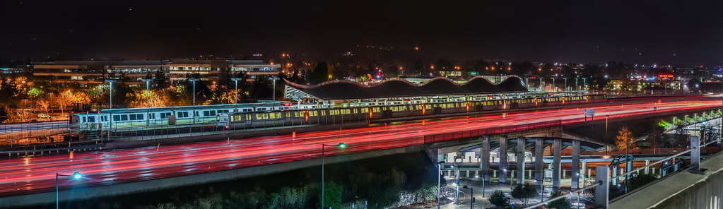
dublin / pleasanton platform in the rain
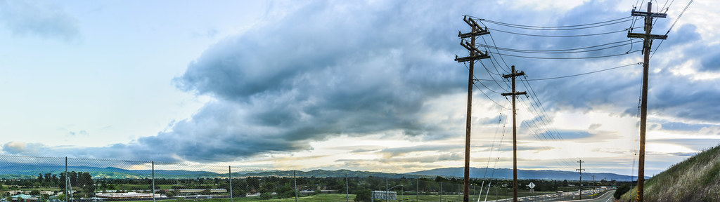
pivot panorama
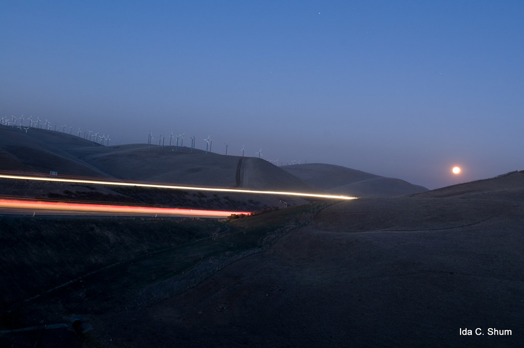
Moonrise over Altamont

Years Past

Wente Vineyards, Late Winter Day
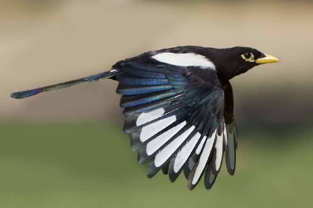
More Magpie
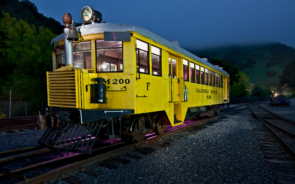
The California Skunk
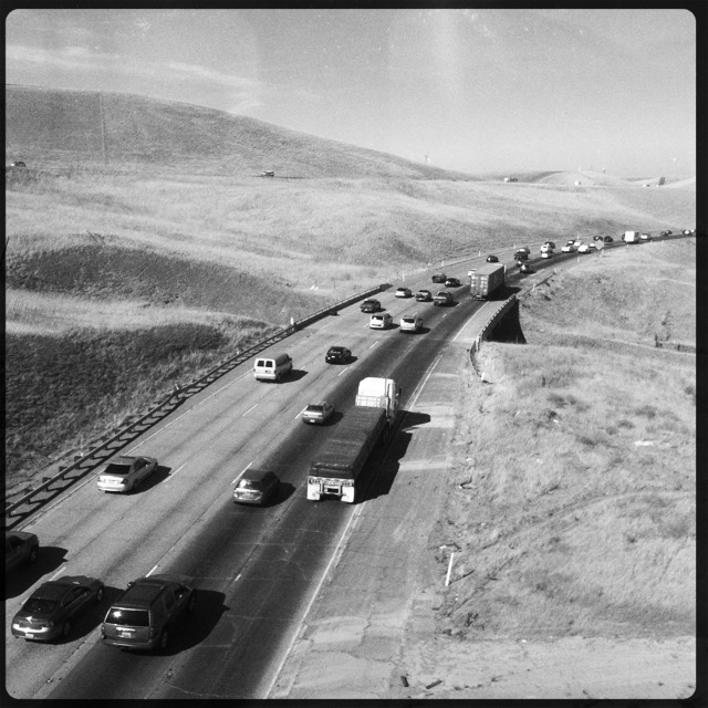
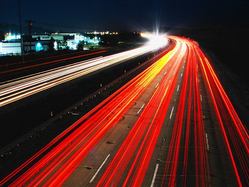
Interstate 580, eastbound down
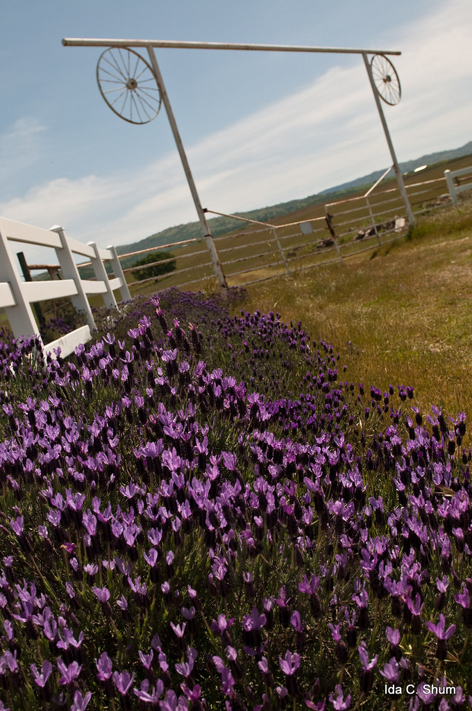
Gated Lavender

Joe Van Fo
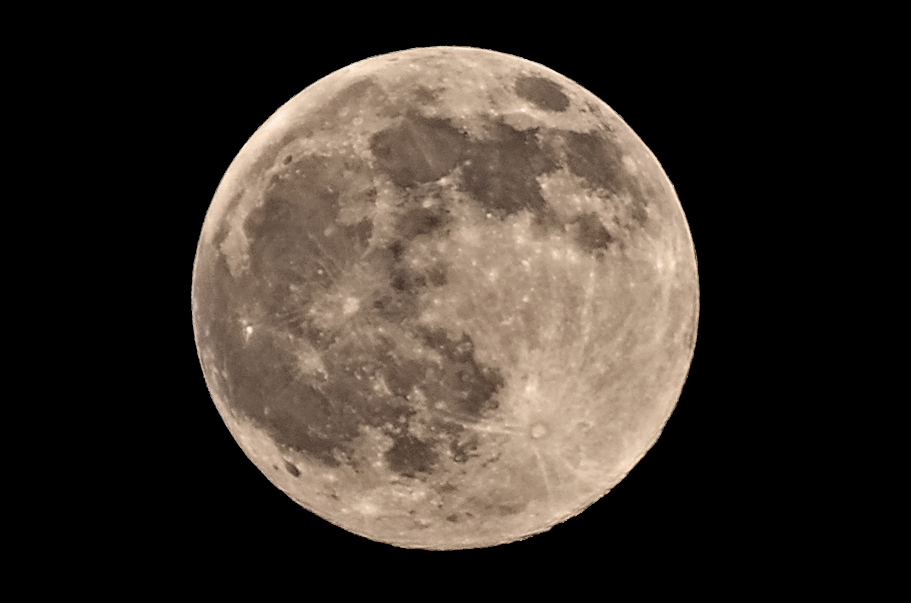
Full Moon
rare hail storm in the bay area passes to the southeast
#cloud #sky #blue #circular #circle #sun #nature #view #scenery

July 4th Fireworks
View from Maguire Peaks

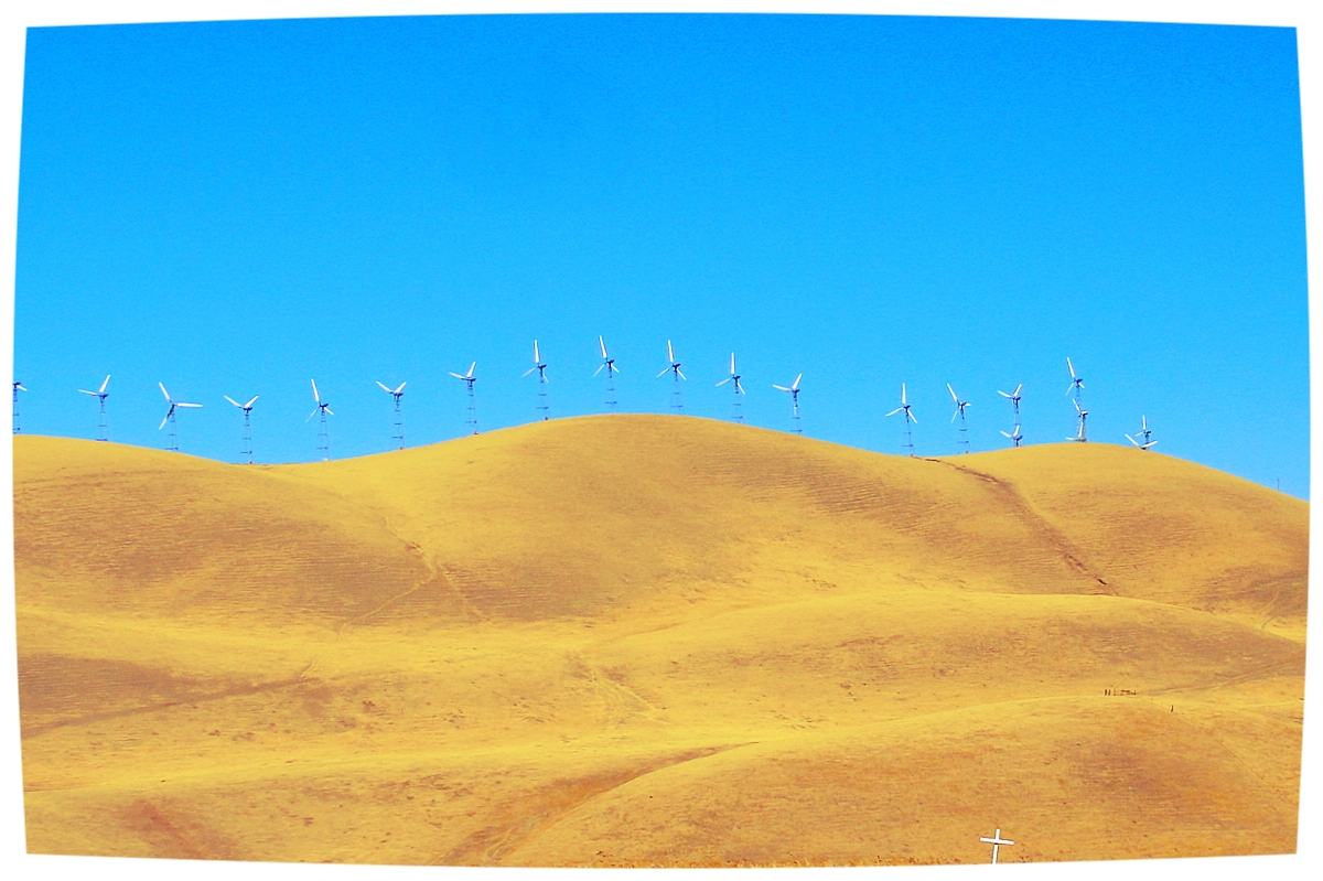
charles brush's turbines

I've been to
Sunol Spring Hillside No.01
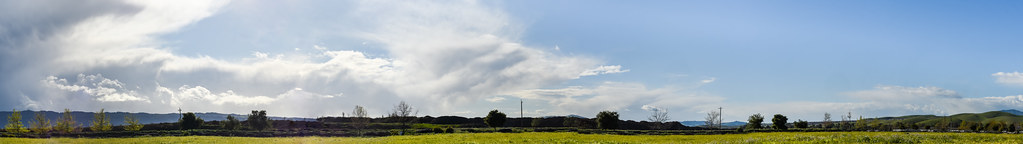
valley wrap 22
Livermore, CA

1869 Line Poll in Niles Canyon

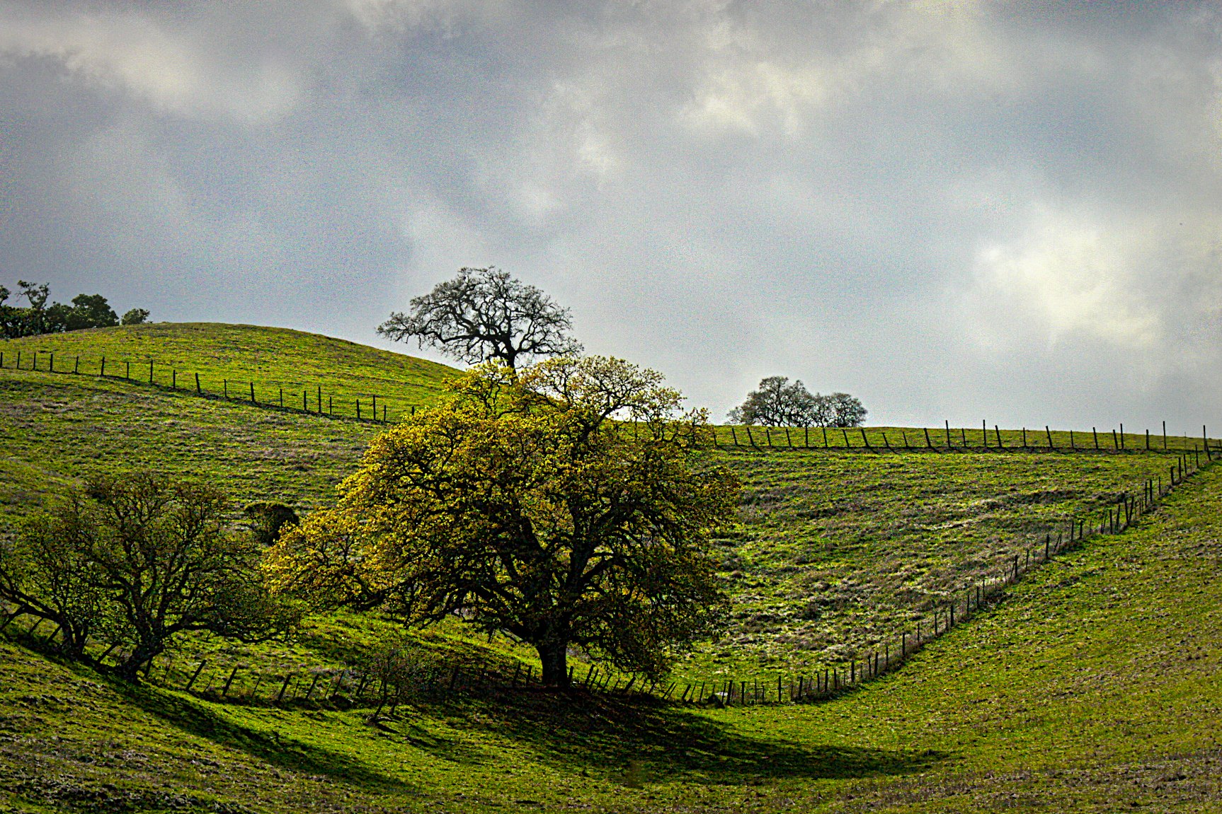
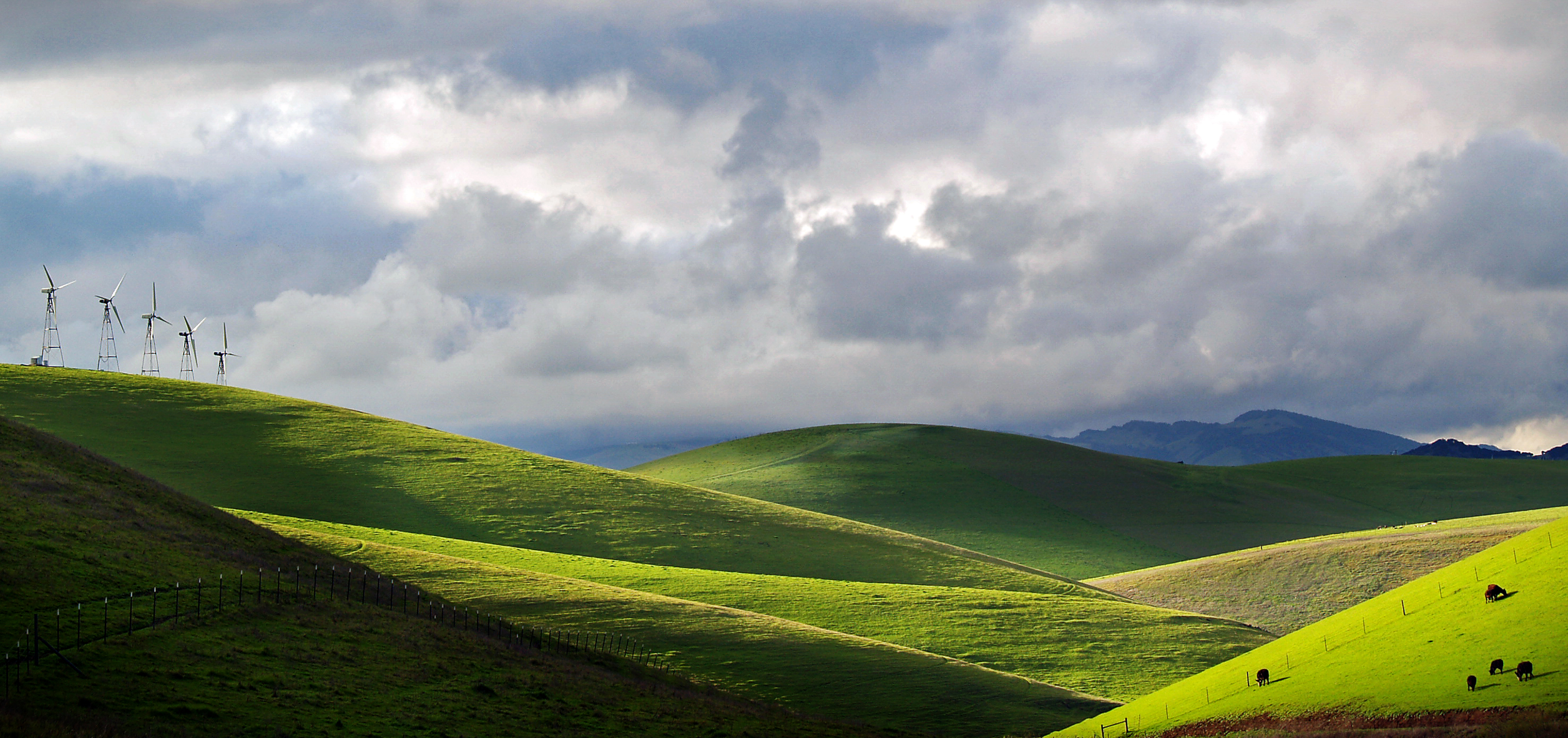
Windmills and Green Hills

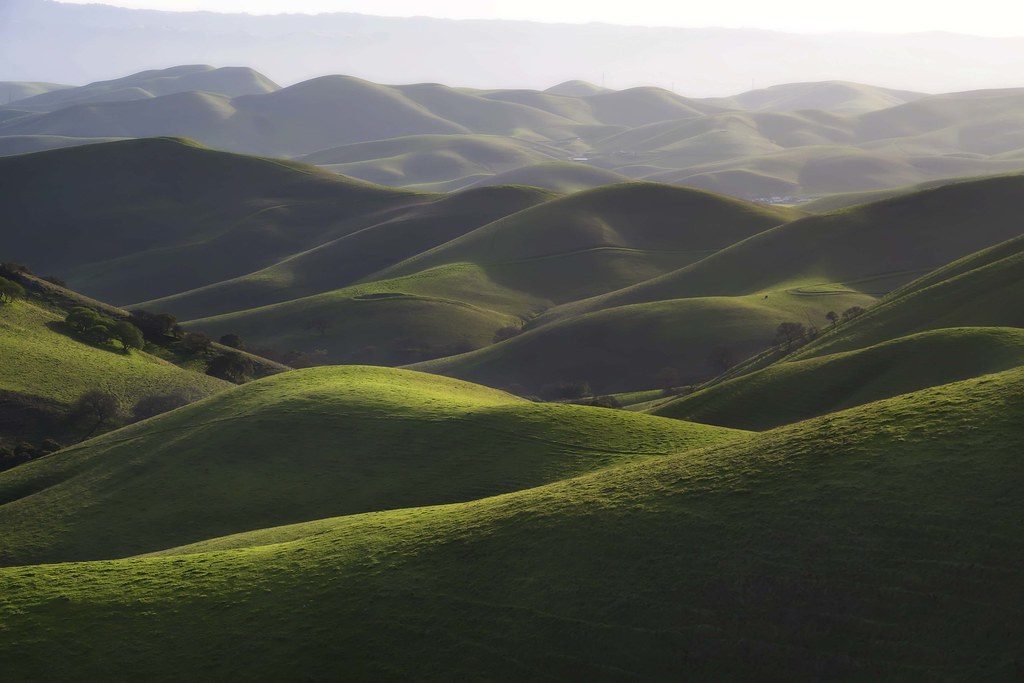
The hills are alive...
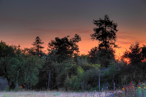
Livermore Sunset

hungry clouds

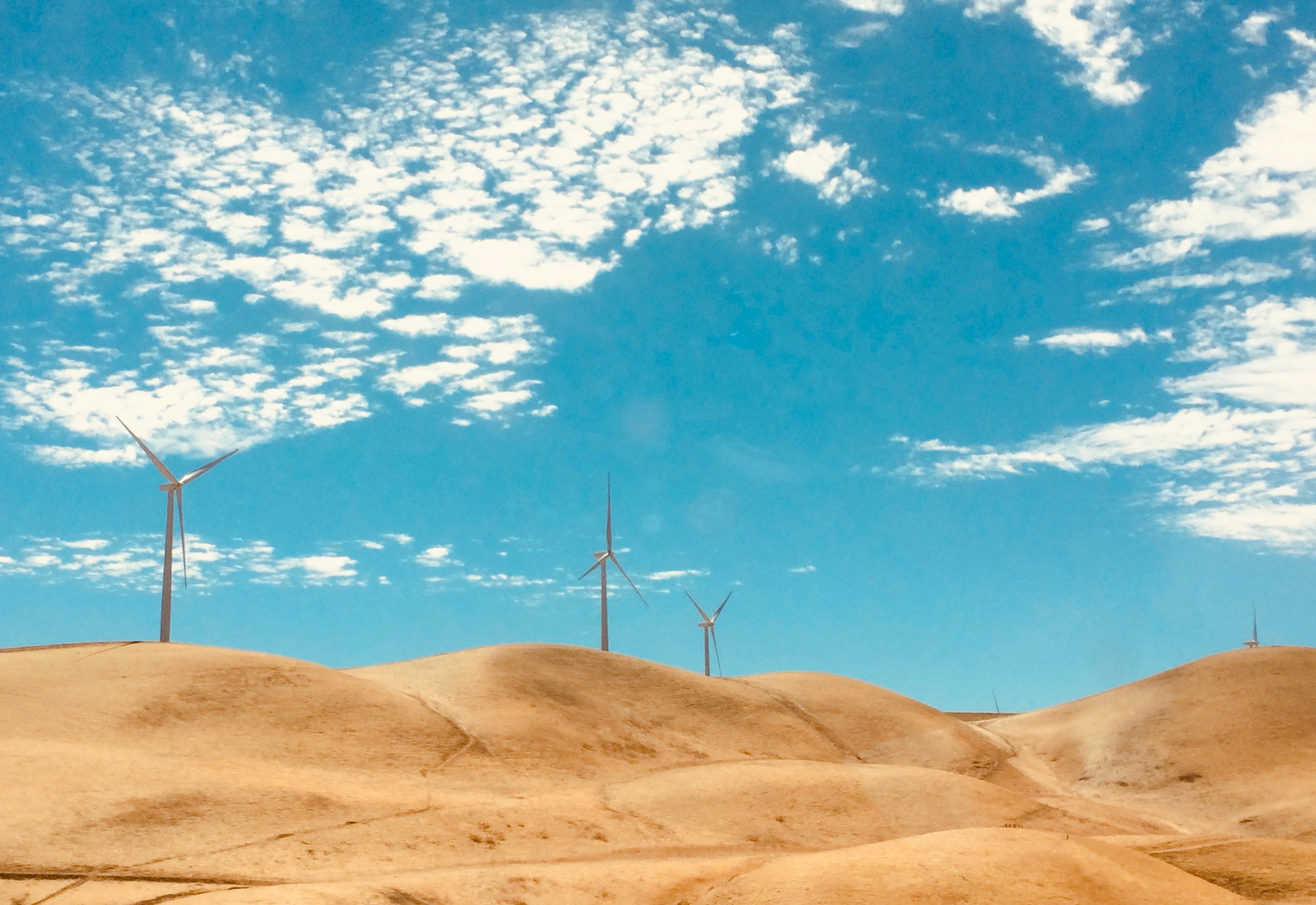
Windmills at Altamont
altamont light

spring all the way
DSC08388-001
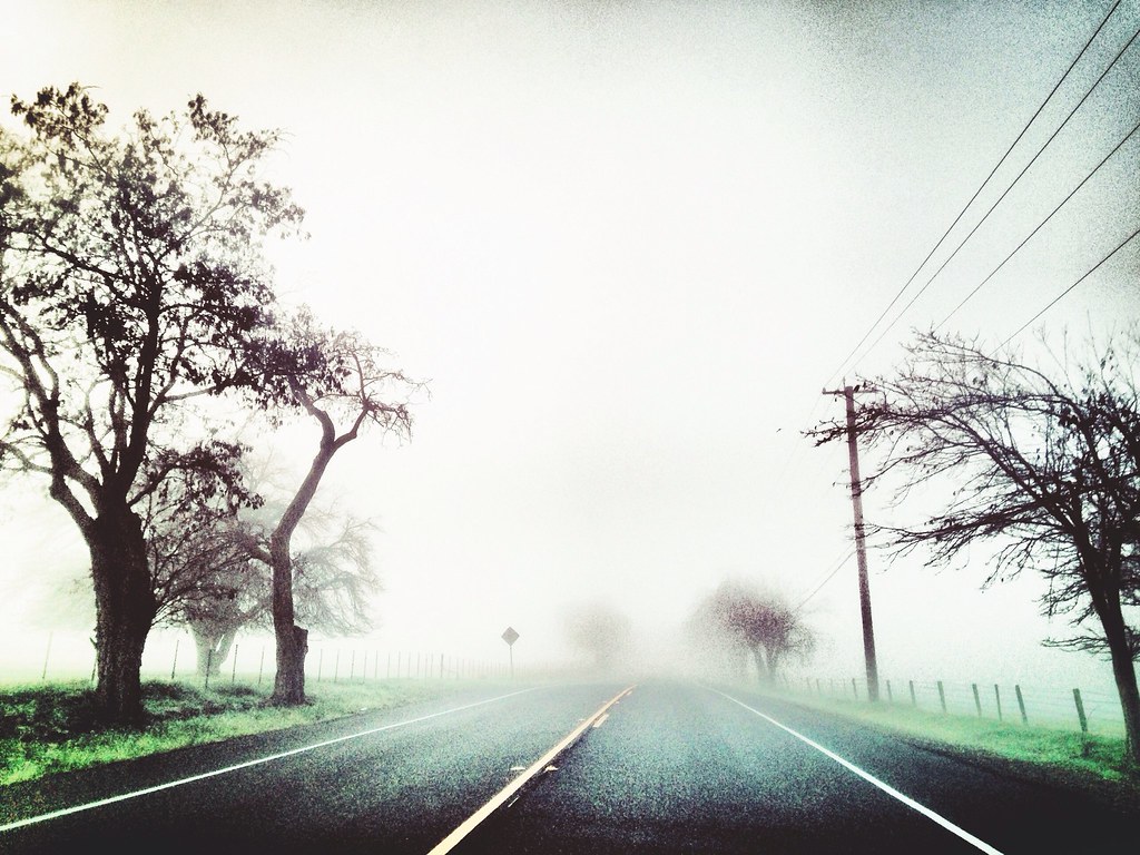
Foggy Road, Livermore
Morgan Territory Road, Livermore, California
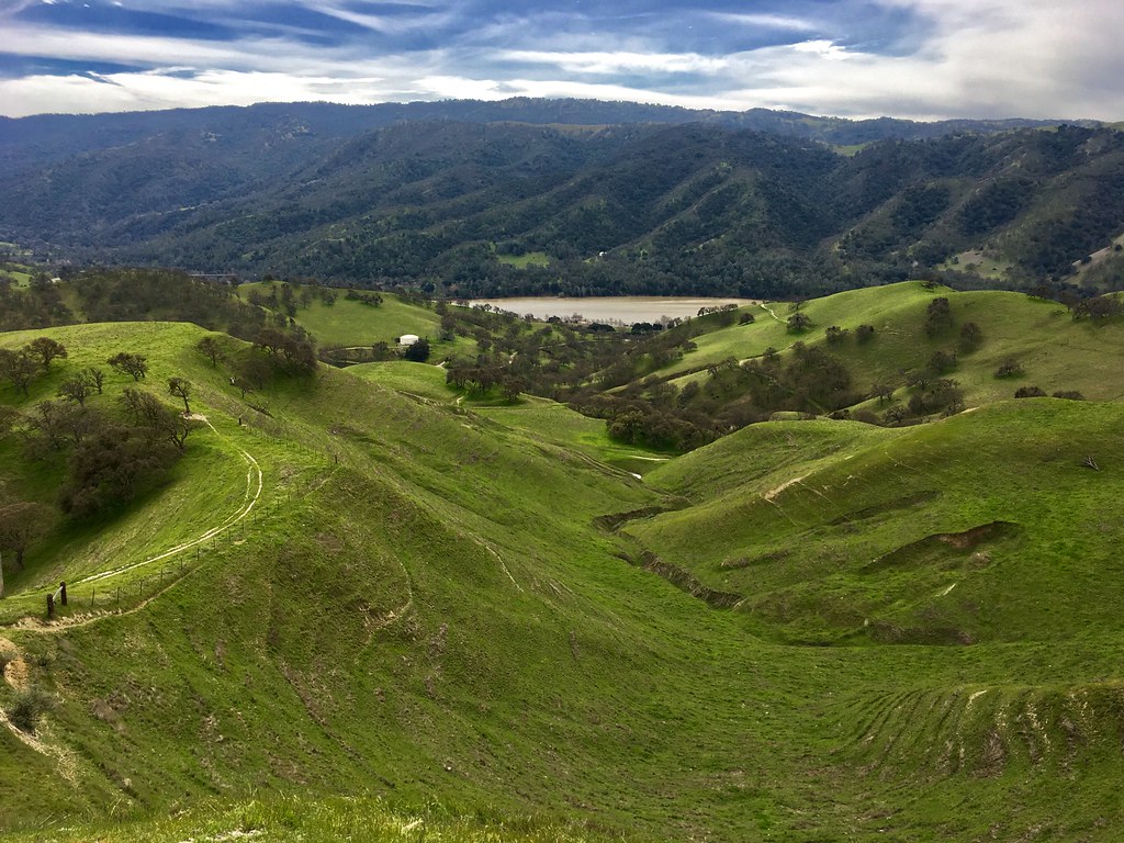
Del Valle
Topographic Map of Wedgewood Way, Livermore, CA, USA
Find elevation by address:

Places near Wedgewood Way, Livermore, CA, USA:
1637 Catalina Ct
3081 Lusitana Dr
1514 Roselli Dr
994 Verona Ave
2429 Belmont Dr
Zephyr Grill & Bar
Livermore
540 Ann Ct
343 Anna Maria St
Endre Selmeczy Dmd
Rincon Avenue
3221 E Ruby Hill Dr
836 Sunset Dr
2380 Westminster Way
3913 Santa Clara Way
537 Highland St
67 Trevarno Rd, Livermore, CA, USA
2474 Pomino Way
4893 Marcella Ct
317 Marie Common
Recent Searches:
- Elevation of Redondo Ave, Long Beach, CA, USA
- Elevation of Sadovaya Ulitsa, 20, Rezh, Sverdlovskaya oblast', Russia
- Elevation of Ulitsa Kalinina, 79, Rezh, Sverdlovskaya oblast', Russia
- Elevation of 72-31 Metropolitan Ave, Middle Village, NY, USA
- Elevation of 76 Metropolitan Ave, Brooklyn, NY, USA
- Elevation of Alisal Rd, Solvang, CA, USA
- Elevation of Vista Blvd, Sparks, NV, USA
- Elevation of 15th Ave SE, St. Petersburg, FL, USA
- Elevation of Beall Road, Beall Rd, Florida, USA
- Elevation of Leguwa, Nepal