Elevation of Wedgewood Drive, Wedgewood Dr, House Springs, MO, USA
Location: United States > Missouri > Jefferson County > High Ridge Township > House Springs >
Longitude: -90.581026
Latitude: 38.4029376
Elevation: 221m / 725feet
Barometric Pressure: 99KPa
Elevation Map:
Satellite Map:
Related Photos:

Red-headed Woodpecker at Lone Elk Park

Elk Resting in the Snow

Northern Cardinal at Route 66 State Park

Bee on a flower getting nectar and spreading the pollen

Cedar Hill Mill - No 2

Sandy Creek Covered Bridge - No 3

Keeping Tabs on the Garden_DSC0068
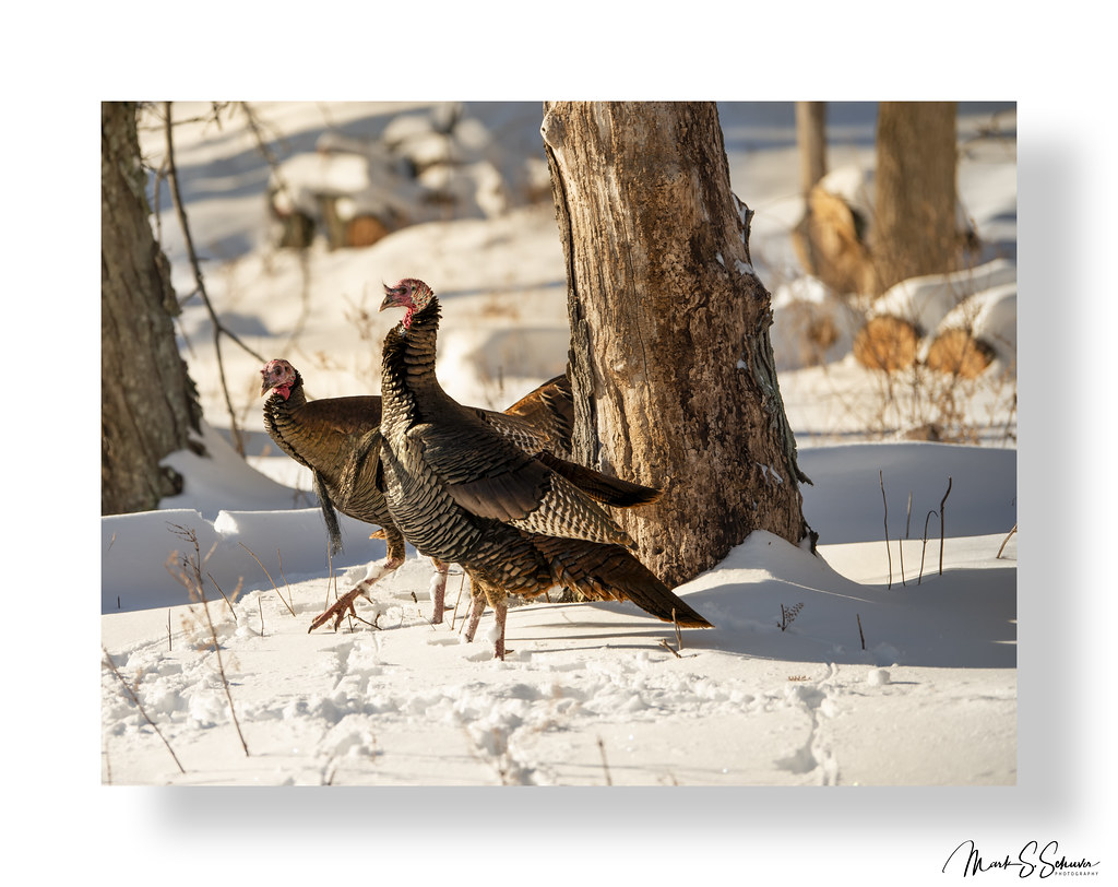
Turkeys in the Snow - No. 2

Cedar Hill Mill - No 1 BW

Sandy Creek Covered Bridge - No 2

Cedar Hill Mill - No. 1
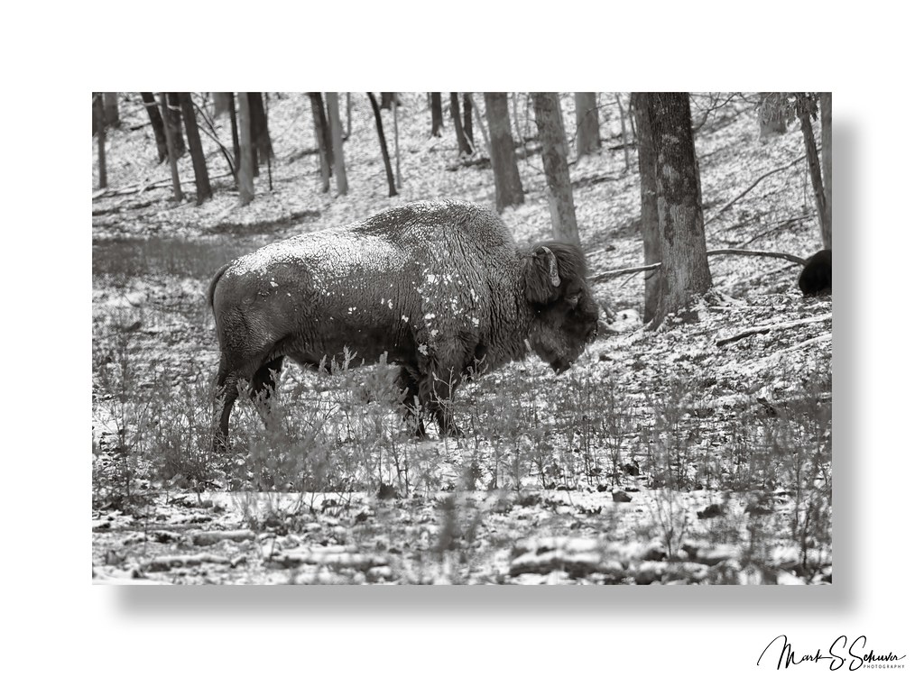
Bison at Lone Elk Park - 01-14-24

Tuff Guy

Leave Out All The Rest

Cedar Hill Mill - No. 3

Belted Kingfisher at Route 66 State Park - No. 7

Belted Kingfisher at Route 66 State Park - No. 6

Aberdeen Golf Club

Belted Kingfisher at Route 66 State Park - No. 1

Lone Elk at Lone Elk Park - 01-14-24 copy

The Meramec River from above and Aberdeen Golf Club

Jefferson County Hills full of autumn colors

Reflection in lake

UP 2563, UP 7822

Early Morning Heritage

Cruising through the Cut

CSX 303, UP 7822

Before liftoff

Flooded buildings on the Meramec River

Roadside traveler.

Worth It

Sand Creek

Forest Staley Park

Lone Elk Park Lake

Fall Colors

DSC_3463-Pano

Rockford Beach - Big River Dam

Saint Peter Sandstone mines, in Pacific, Missouri, USA

Forest 44 Conservation Area, near Valley Park, Missouri, USA - open field at dusk

DSC_3312-Pano-3

Mrs. Elk

MO-141 South from Fenton - Jefferson County, Missouri_P6220563
Topographic Map of Wedgewood Drive, Wedgewood Dr, House Springs, MO, USA
Find elevation by address:

Places near Wedgewood Drive, Wedgewood Dr, House Springs, MO, USA:
House Springs
4816 Woodridge Dr
4600 Hidden Acres
Byrnes Mill
Silverstone Trails Dr, Byrnes Mill, MO, USA
3720 Narragansett Dr
4145 W 4 Ridge Rd
Big River View, Eureka, MO, USA
3408 High Ridge Blvd
4020 W 4 Ridge Rd
3693 Rock Creek Rd
High Ridge Township
High Ridge
7951 Jim Weber Rd
Rock Creek Road
5433 Old Hunning Rd
5433 Old Hunning Rd
5433 Hunning Rd
6098 Timber Hollow Ln
5305 Hunning Rd
Recent Searches:
- Elevation of Co Rd 87, Jamestown, CO, USA
- Elevation of Tenjo, Cundinamarca, Colombia
- Elevation of Côte-des-Neiges, Montreal, QC H4A 3J6, Canada
- Elevation of Bobcat Dr, Helena, MT, USA
- Elevation of Zu den Ihlowbergen, Althüttendorf, Germany
- Elevation of Badaber, Peshawar, Khyber Pakhtunkhwa, Pakistan
- Elevation of SE Heron Loop, Lincoln City, OR, USA
- Elevation of Slanický ostrov, 01 Námestovo, Slovakia
- Elevation of Spaceport America, Co Rd A, Truth or Consequences, NM, USA
- Elevation of Warwick, RI, USA