Elevation of Webster Hill, Colorado, USA
Location: United States > Colorado > Garfield County > Rifle >
Longitude: -107.88145
Latitude: 39.505257
Elevation: 1685m / 5528feet
Barometric Pressure: 83KPa
Elevation Map:
Satellite Map:
Related Photos:

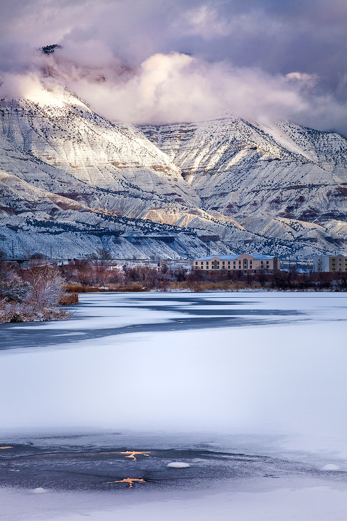
Rifle Pond

Rifle Pond

180817-Z-A3586-1001

180817-Z-A3586-1004

180817-Z-A3586-1005

180817-Z-A3586-1003

180815-Z-A3586-1004

180815-Z-A3586-1001

180815-Z-A3586-1002

Rifle Pond

Winter Woods

View from the Rulison Nuclear Test Site

Eastbound Zephyr near Rifle, CO

Roan Plateau (wide)

The Fog Rolls In

Project Rulison Nuclear Test Site

View from Railroad Avenue

Great view from the gutted building

Another view of the Rockies

Parachute - view of solar panel

70 views

Battlement Mesa from Parachute, Colorado

Battlement Mesa from Parachute, Colorado

Battlement Mesa from Parachute, Colorado

Battlement Mesa from Parachute, Colorado

Project Rulison Nuclear Test Site

UP 7949 @ Rulison, CO

West Slope Between Dos and Lacy

Always shoot the new or repainted power

Morrisania Night

Morresiana Trails

Battlement Mesa
Parachute Ponds Snow

Fishing the Colorado in Rifle
Topographic Map of Webster Hill, Colorado, USA
Find elevation by address:

Places near Webster Hill, Colorado, USA:
4199 W Centennial Pkwy
Co Rd, Rifle, CO, USA
8526 Co Rd 301
Rifle
580 E 7th St
4300 Grass Mesa Rd
S Battlement Pkwy, Parachute, CO, USA
Battlement Mesa
68 Meadow Creek Dr
8968 Co Rd 300
19 Bryan Loop
299 Limberpine Cir
64 Dogwood Ln
165 Bellis St
Parachute
County Road 233
1171 Co Rd 259
Garfield County
Rifle Gap State Park
2486 Odin Dr
Recent Searches:
- Elevation of 15th Ave SE, St. Petersburg, FL, USA
- Elevation of Beall Road, Beall Rd, Florida, USA
- Elevation of Leguwa, Nepal
- Elevation of County Rd, Enterprise, AL, USA
- Elevation of Kolchuginsky District, Vladimir Oblast, Russia
- Elevation of Shustino, Vladimir Oblast, Russia
- Elevation of Lampiasi St, Sarasota, FL, USA
- Elevation of Elwyn Dr, Roanoke Rapids, NC, USA
- Elevation of Congressional Dr, Stevensville, MD, USA
- Elevation of Bellview Rd, McLean, VA, USA