Elevation of Waynesboro, PA, USA
Location: United States > Pennsylvania > Franklin County >
Longitude: -77.577769
Latitude: 39.755927
Elevation: 213m / 699feet
Barometric Pressure: 99KPa
Elevation Map:
Satellite Map:
Related Photos:
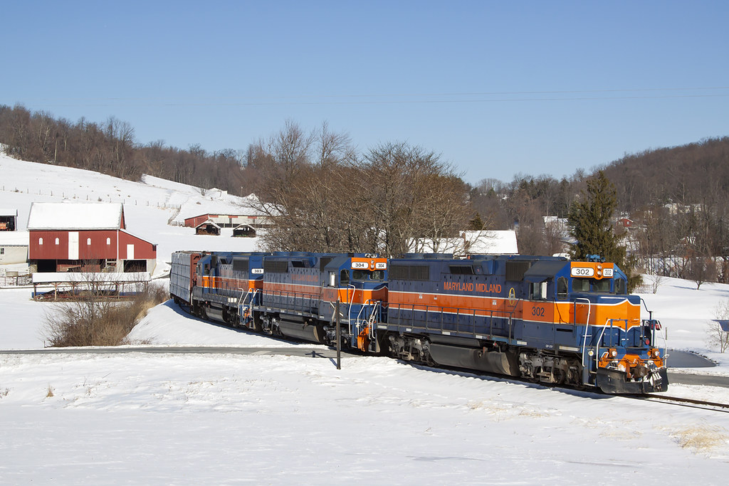
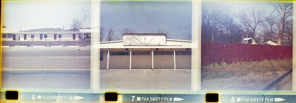
MMID 302 on HFUB, Sabillasville, MD
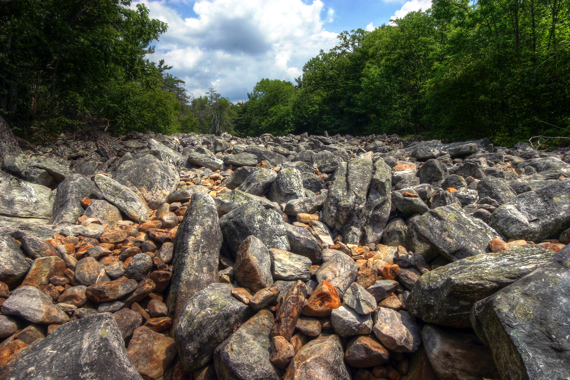
Devil's Race Course
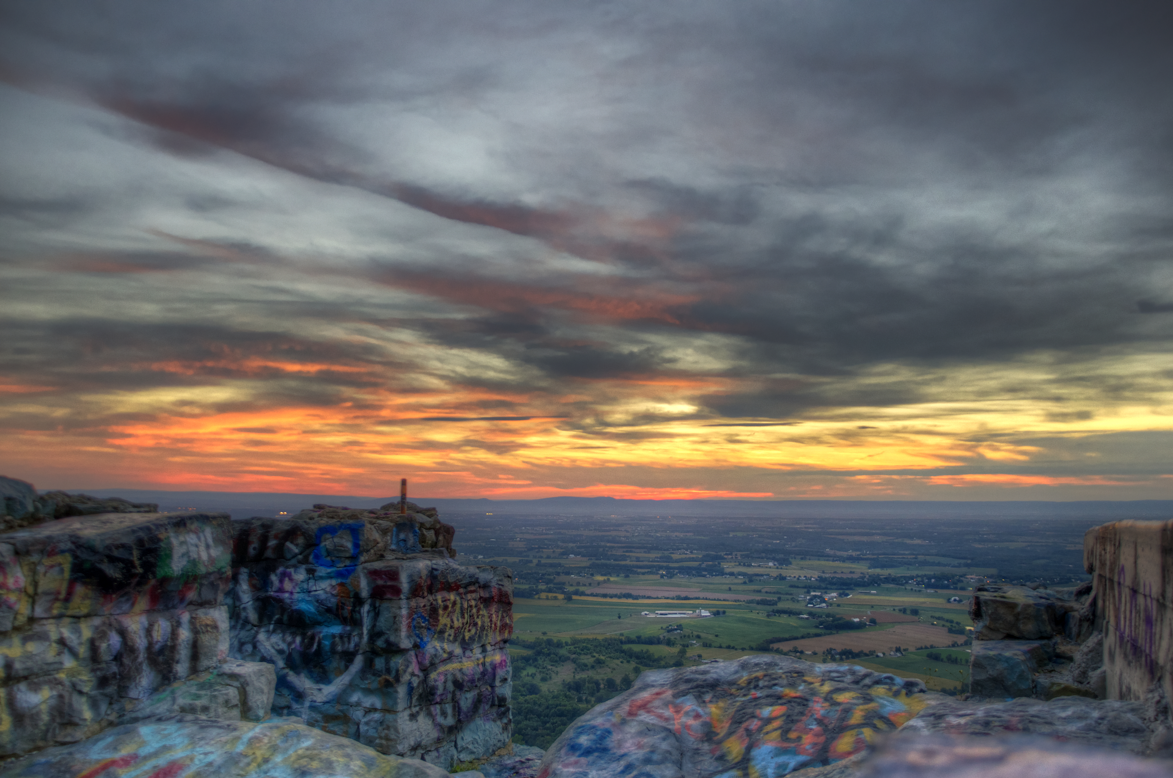
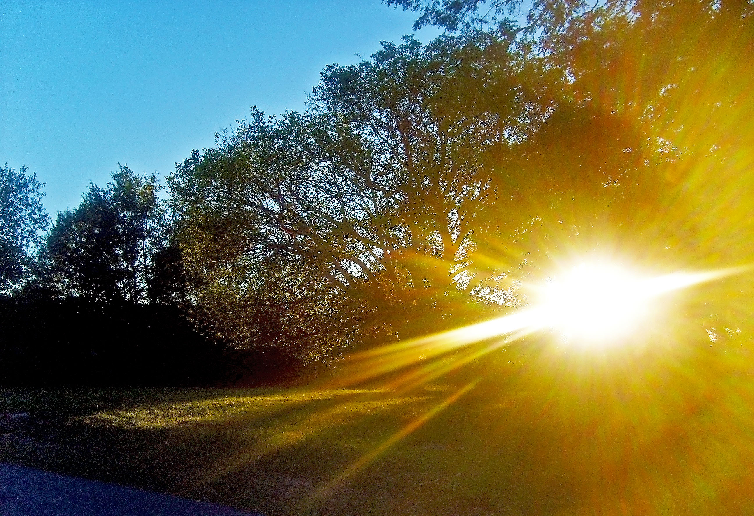
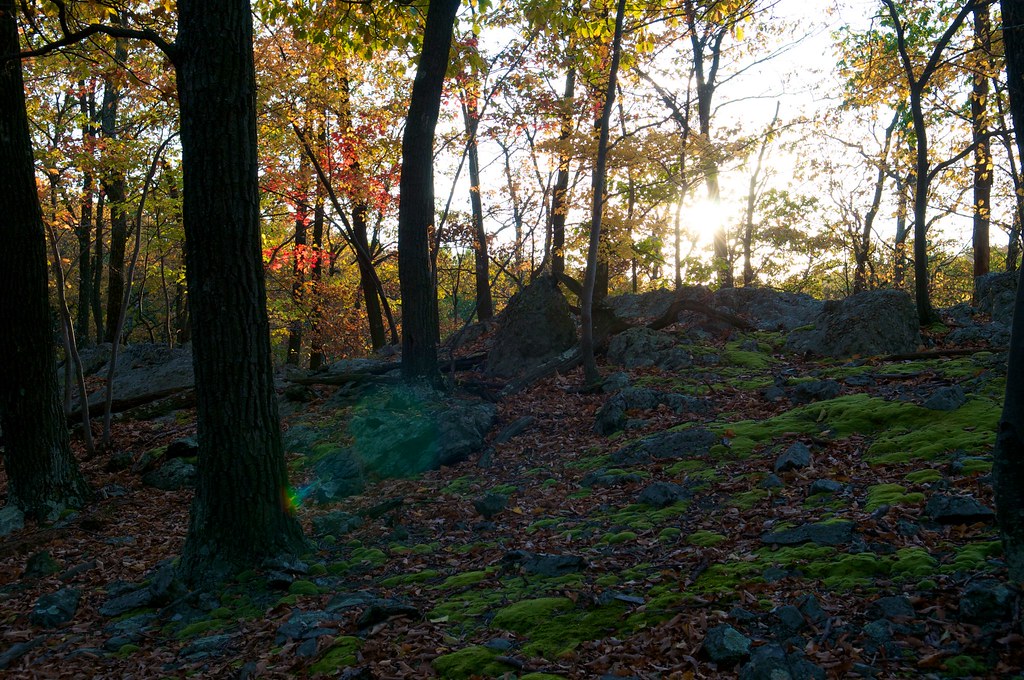
Graffiti Sunset
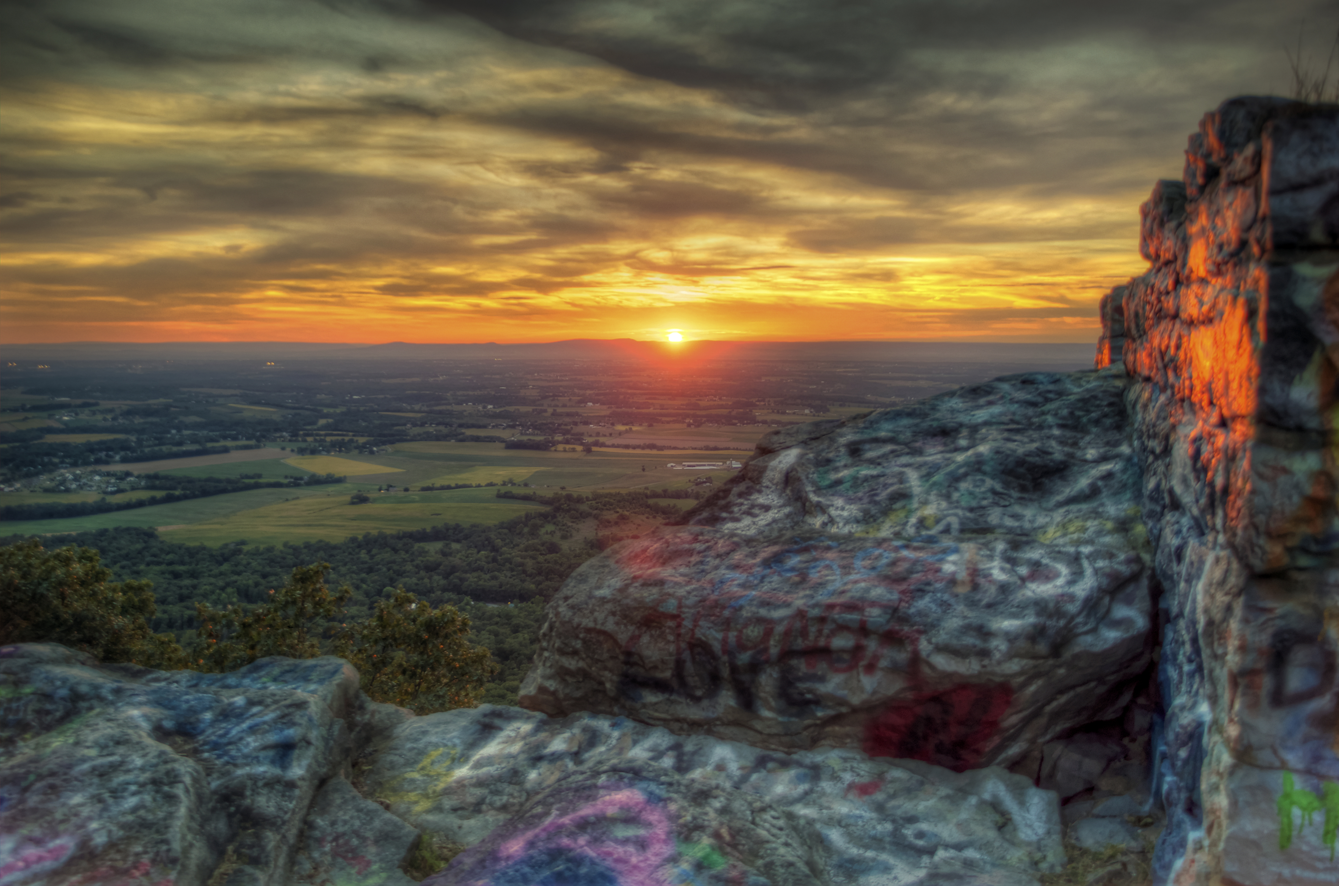
High Rock
Pennsylvania and West Virginia
Day 4

Model on stone wall at Renfrew Park and Museum, Waynesboro, PA

Too much fertilization?

Fairchild C-82A Packet (N9701F) Port Engine Up Close

Milkweed seeds
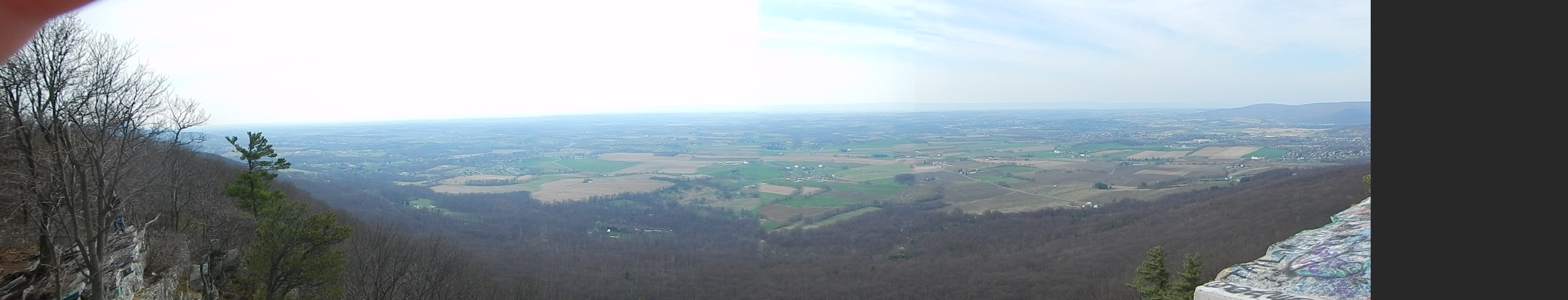
View from High Rocks

Picnic Friday #2
CCLO_2015-02-01_ChewsvilleRd_0212C

DSCN0225 53 POI view

DSCN0175 33 View S

DSCN0216 46 View 220-340deg

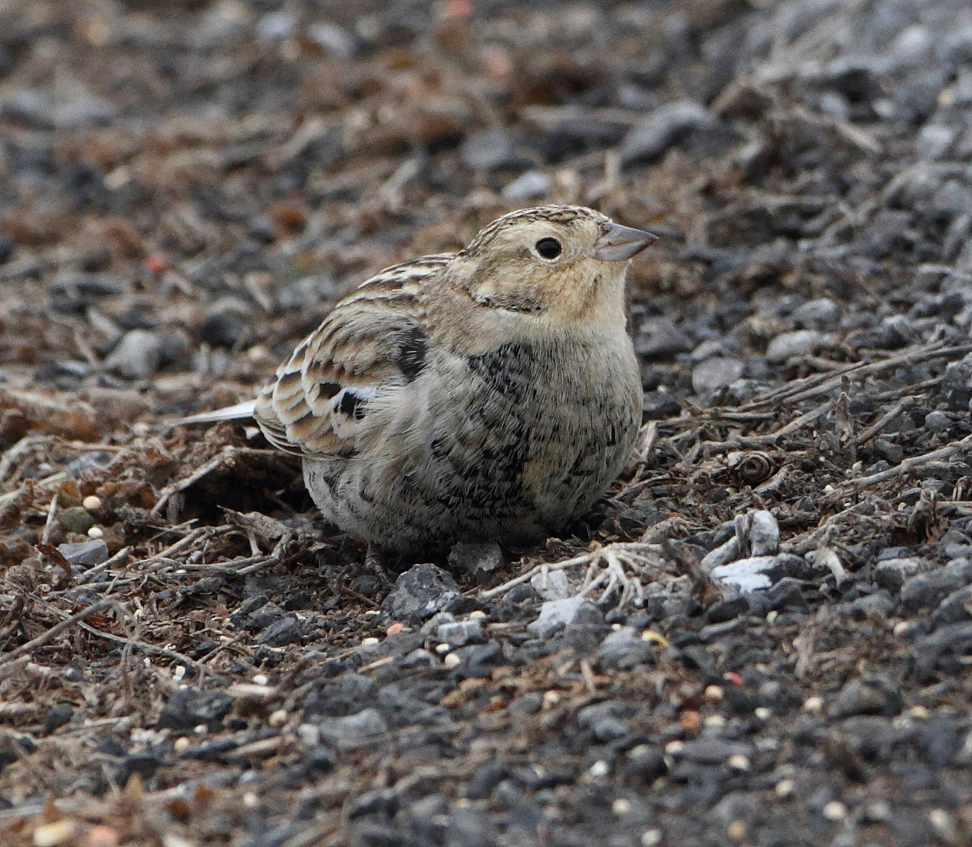
Chestnut-collared Longspur
DSCN0217 46 View 220-340deg
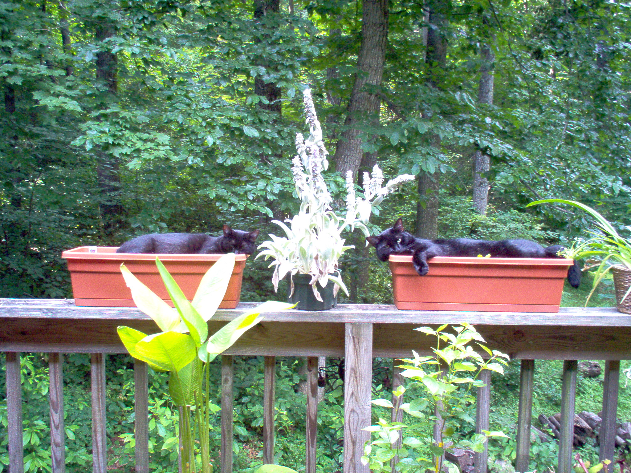
plant nap

Buchanan Corvette Show 2014

The view from High Rock
South Mountain, sundown at the line
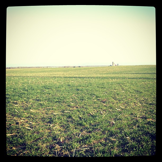
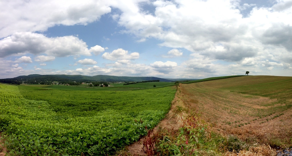
Miles of this
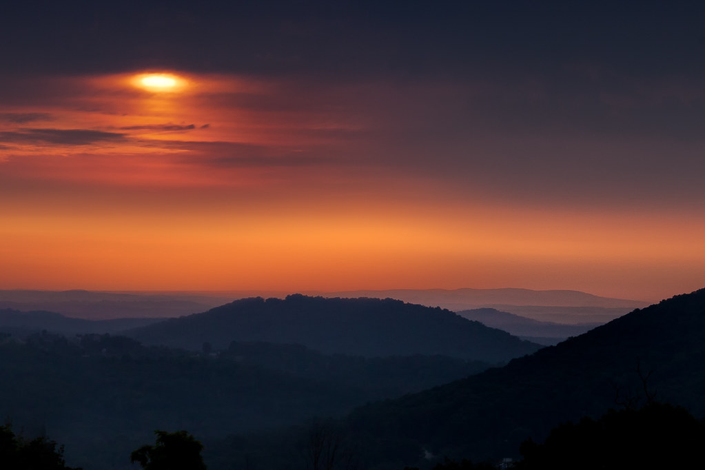
Blue Ridge Sunrise

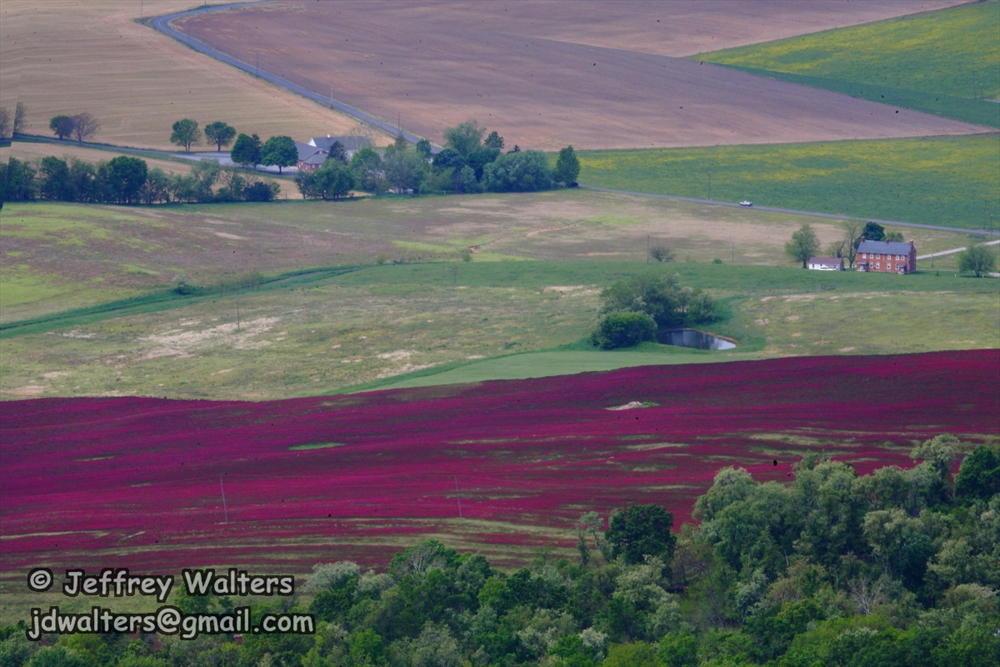
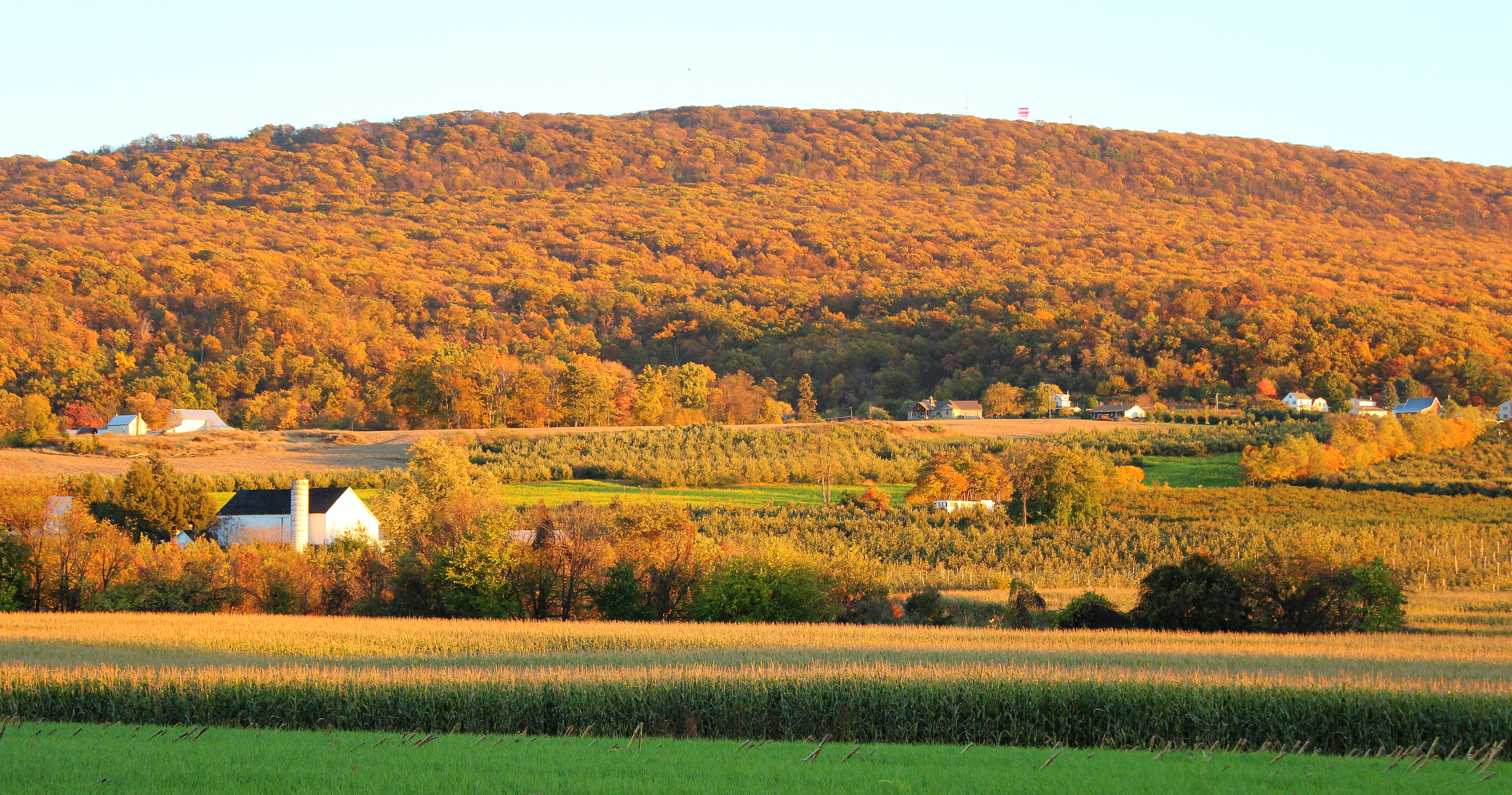
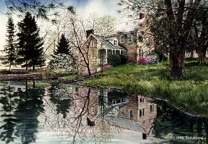
Shelly Farm

MMID 304 on UBHF, Highfield, MD
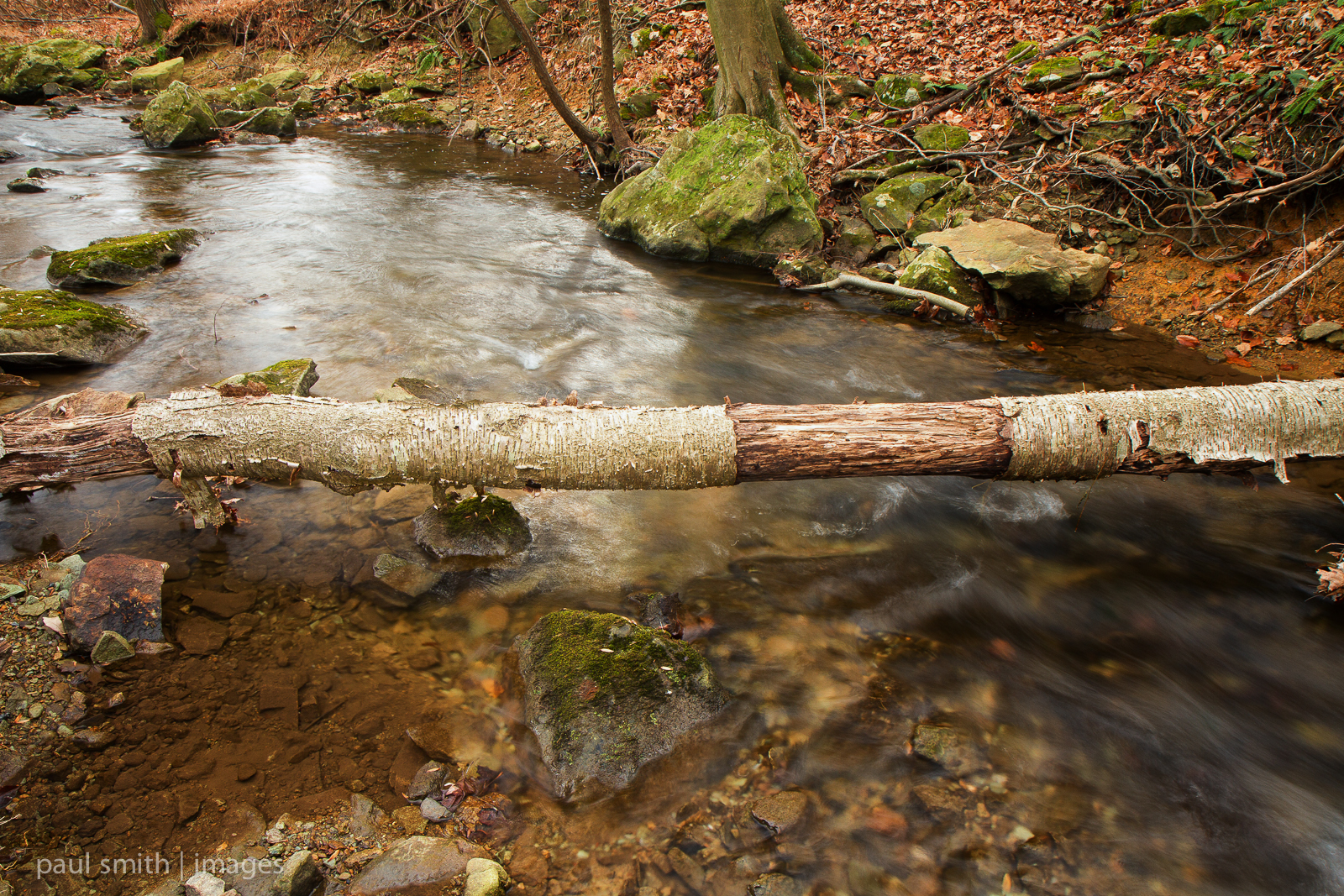
{317/365} Fallen birch
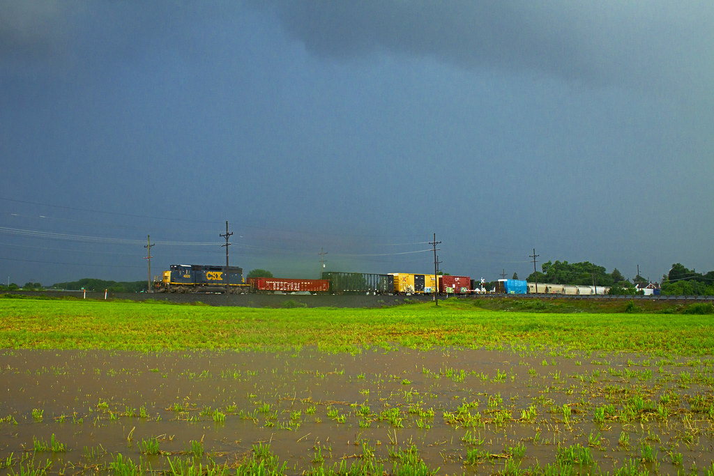
Racing the Storm
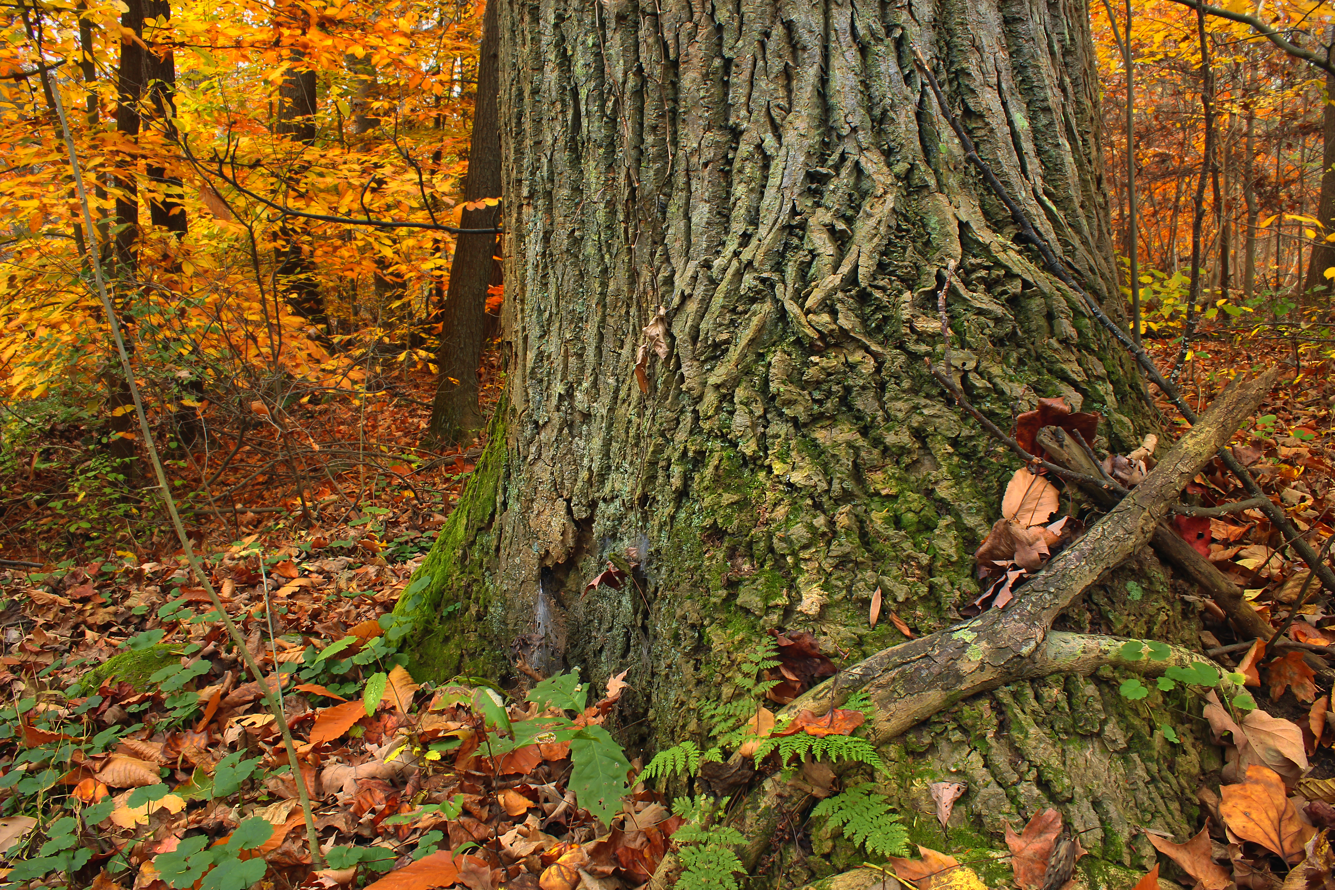
Beartown Woods Natural Area (3)

High Point on South Mountain

Smithsburg Sunrise

Farm, mountain, ski

Shelter #1
DSC_5096 - 2010-10-23 at 16-32-41
Waynesboro Landscape

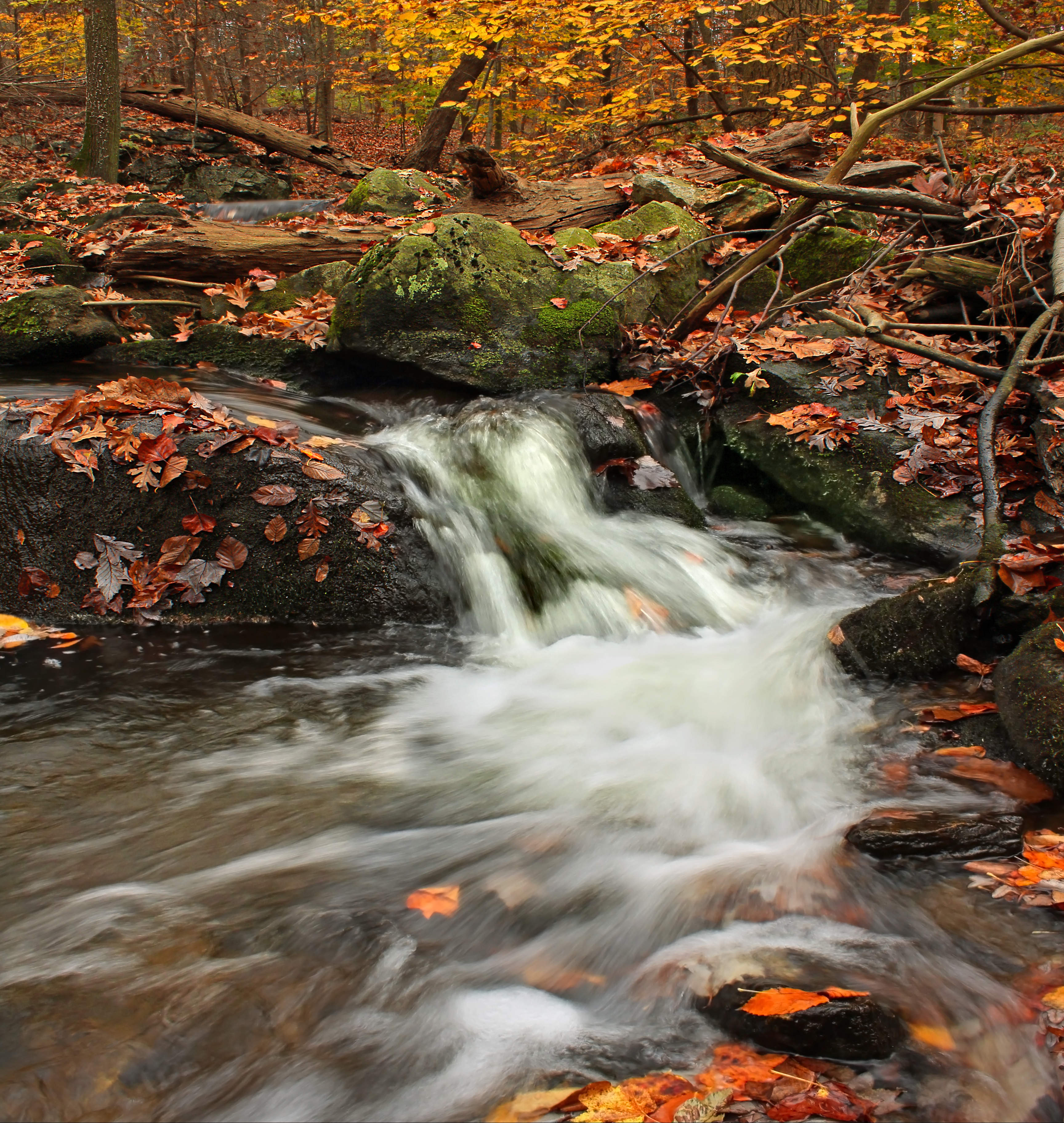
#whitewater #waterfall #westbygod
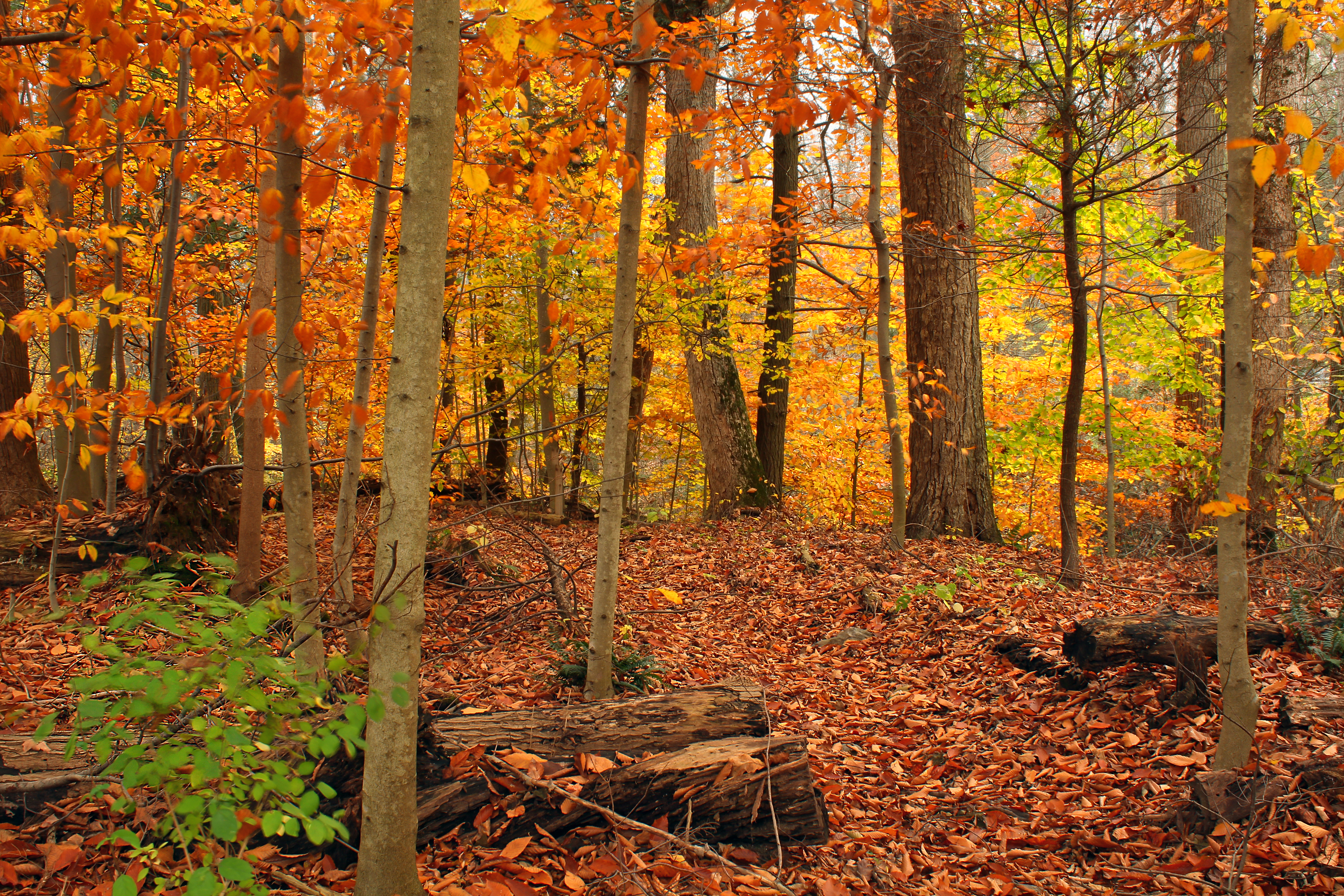
Beartown Woods Natural Area (2)
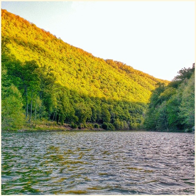
Quiet Waters

An idea in landscape
On the water before the sun and got to watch the sun light up the Trough. #sunrise #thetrough #southbranchpotomacriver
Beartown Woods Natural Area (10)
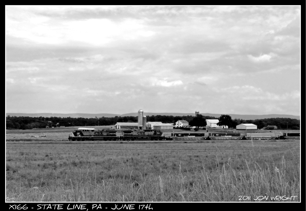
X166 @ State Line
Topographic Map of Waynesboro, PA, USA
Find elevation by address:

Places in Waynesboro, PA, USA:
Places near Waynesboro, PA, USA:
13 W Main St, Waynesboro, PA, USA
355 Ringgold St
310 Grandview Ave
York Refrigeration Group Headquarters
Renfrew Museum And Park
14 Barnett Ave
Nunnery Rd, Waynesboro, PA, USA
4825 Gray Hawk Dr
Washington Township
12245 Red Hawk Dr
11681 Dellwood Dr
11980 Greenridge Dr
Waynecastle Rd, Greencastle, PA, USA
Anthony Hwy, Waynesboro, PA, USA
Mentzer Gap Rd, Waynesboro, PA, USA
10709 Bailey Springs Ln
Wayne Hwy, Waynesboro, PA, USA
Leitersburg Rd, Waynesboro, PA, USA
14090 Old Rte 16
Quincy Township
Recent Searches:
- Elevation of Homestead Ridge, New Braunfels, TX, USA
- Elevation of Orchard Road, Orchard Rd, Marlborough, NY, USA
- Elevation of 12 Hutchinson Woods Dr, Fletcher, NC, USA
- Elevation of Holloway Ave, San Francisco, CA, USA
- Elevation of Norfolk, NY, USA
- Elevation of - San Marcos Pass Rd, Santa Barbara, CA, USA
- Elevation of th Pl SE, Issaquah, WA, USA
- Elevation of 82- D Rd, Captain Cook, HI, USA
- Elevation of Harlow CM20 2PR, UK
- Elevation of Shenyang Agricultural University, Dong Ling Lu, Shen He Qu, Shen Yang Shi, Liao Ning Sheng, China