Elevation of Wayland, MI, USA
Location: United States > Michigan > Allegan County >
Longitude: -85.644743
Latitude: 42.6739208
Elevation: 234m / 768feet
Barometric Pressure: 99KPa
Elevation Map:
Satellite Map:
Related Photos:
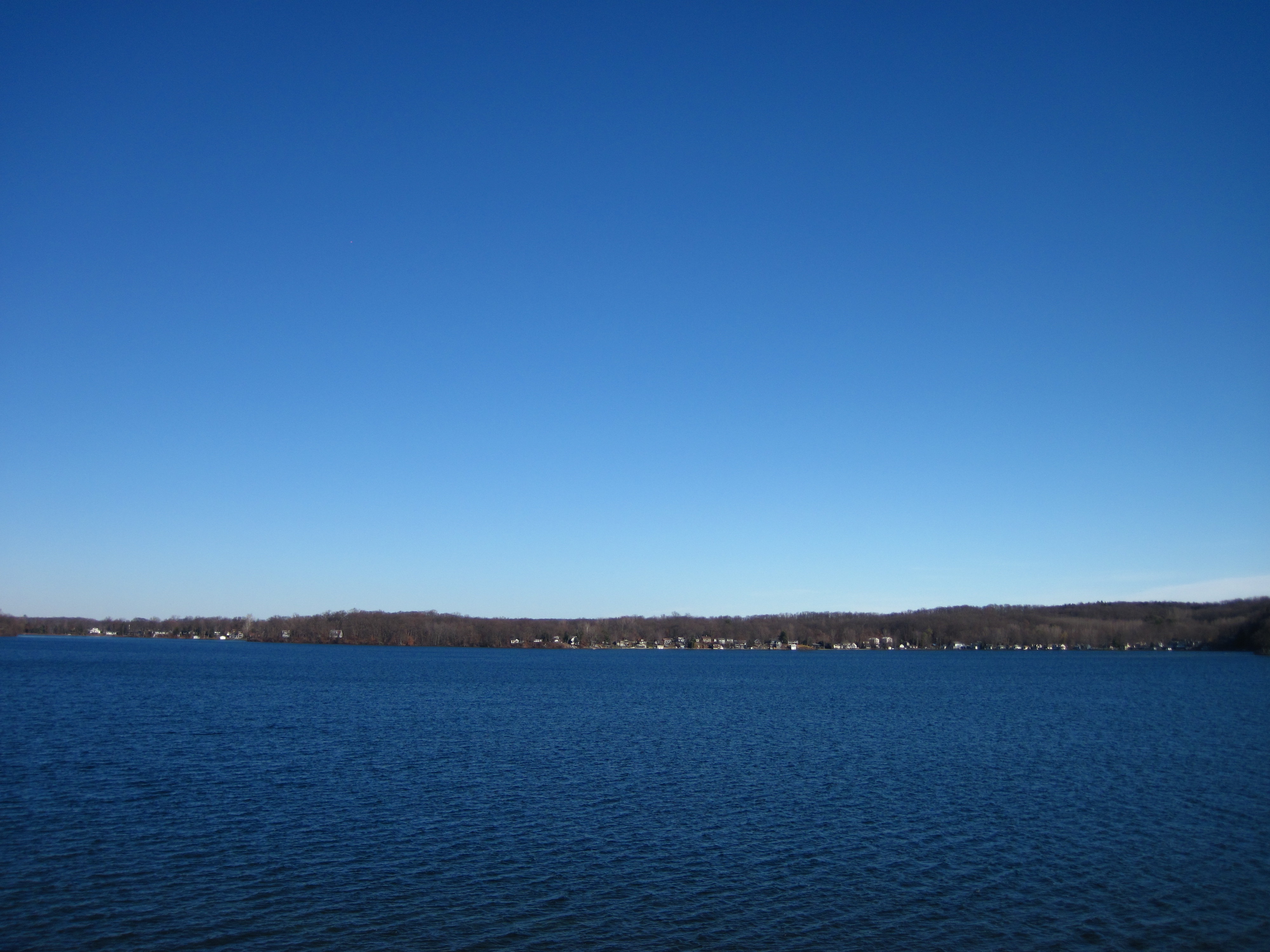
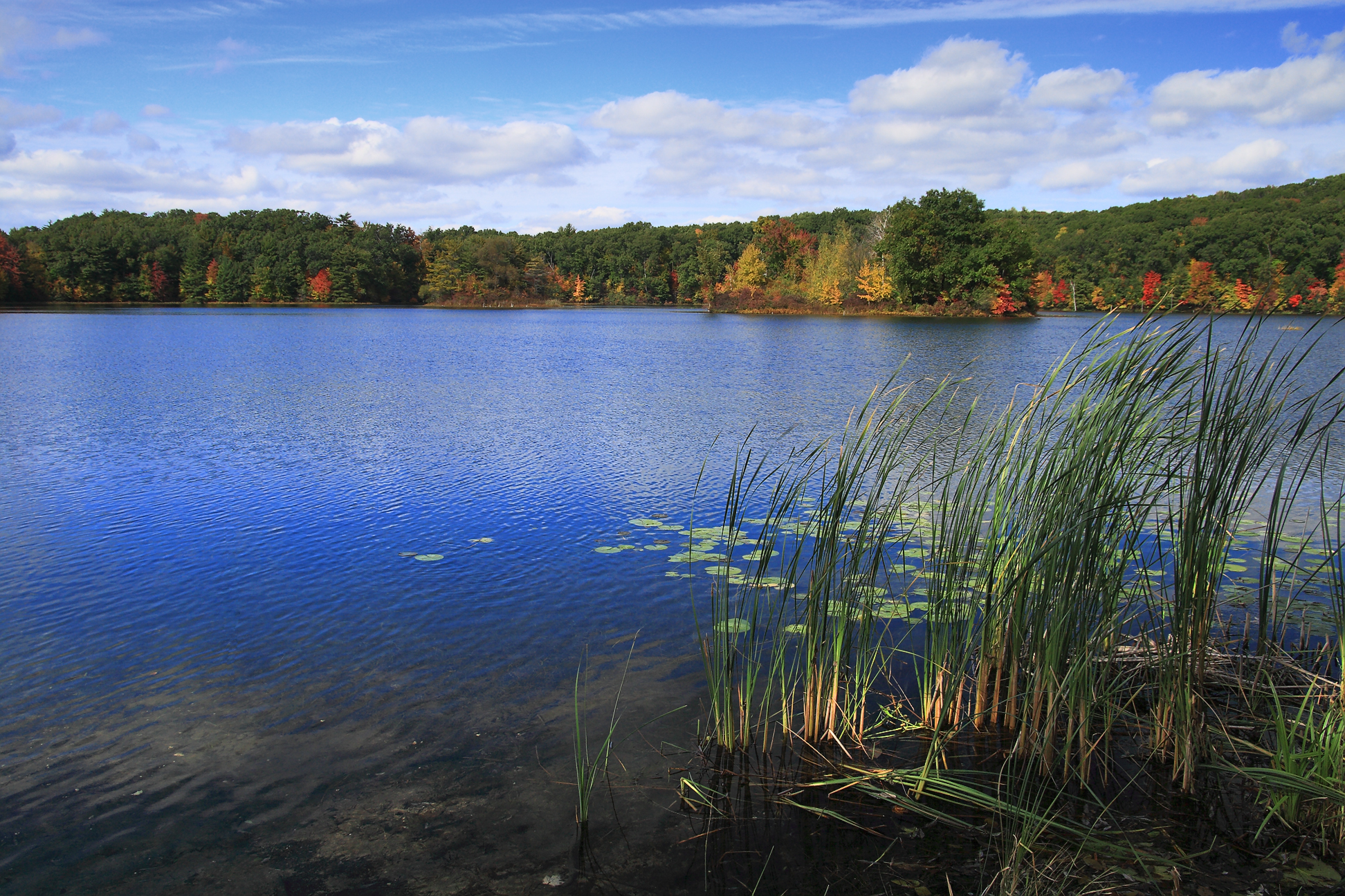
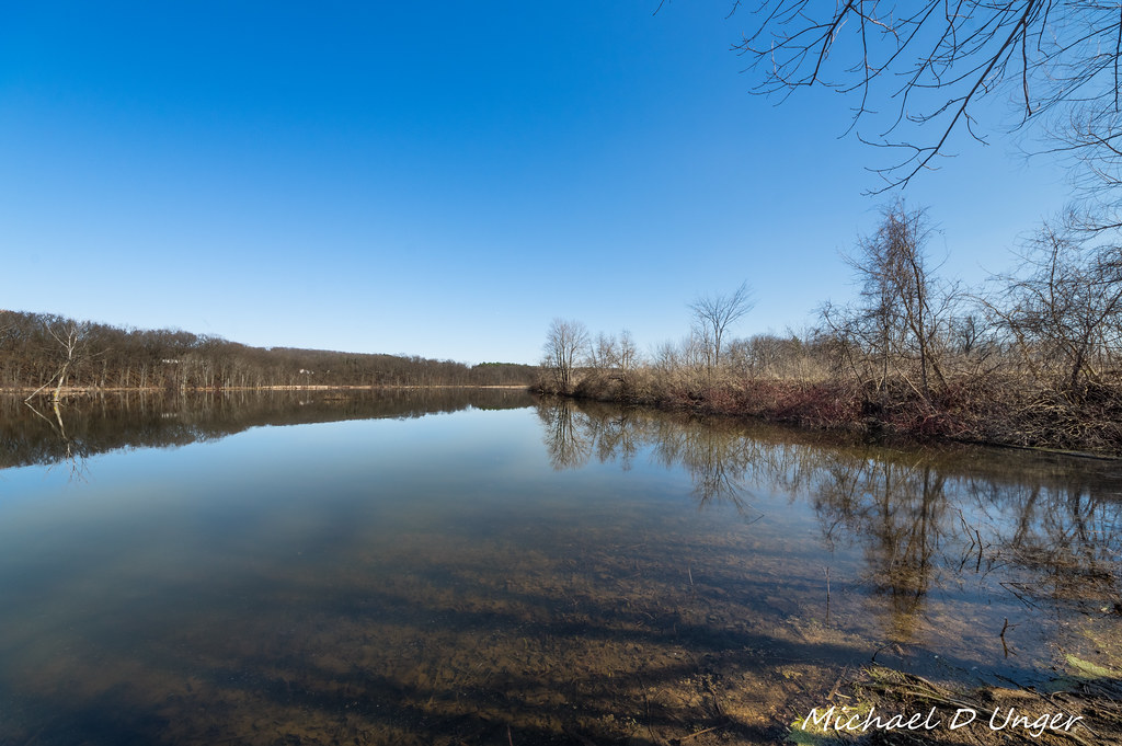
our view of gun lake

dust bowl

Autumn View

Sitting on my tripod (180/365)
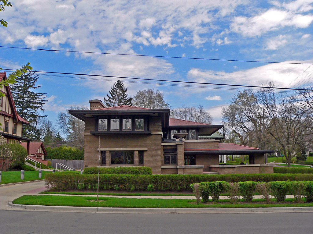
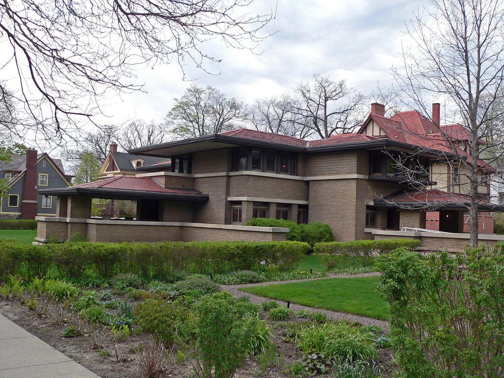
Meyer May House Front View

View from Graves Hill

Hopkins Harware

Quik Mart
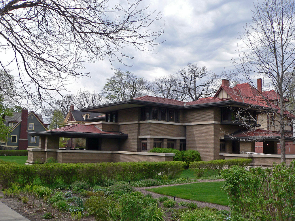
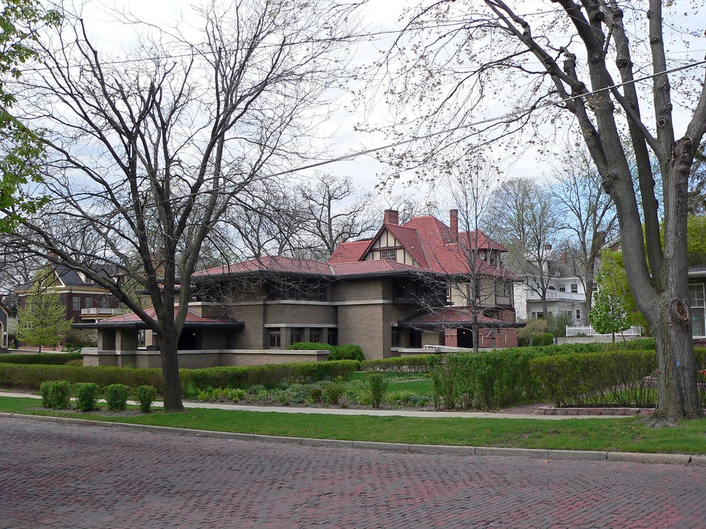
Meyer May House Corner View
Meyer May House View 2
Meyer May House Corner View 2
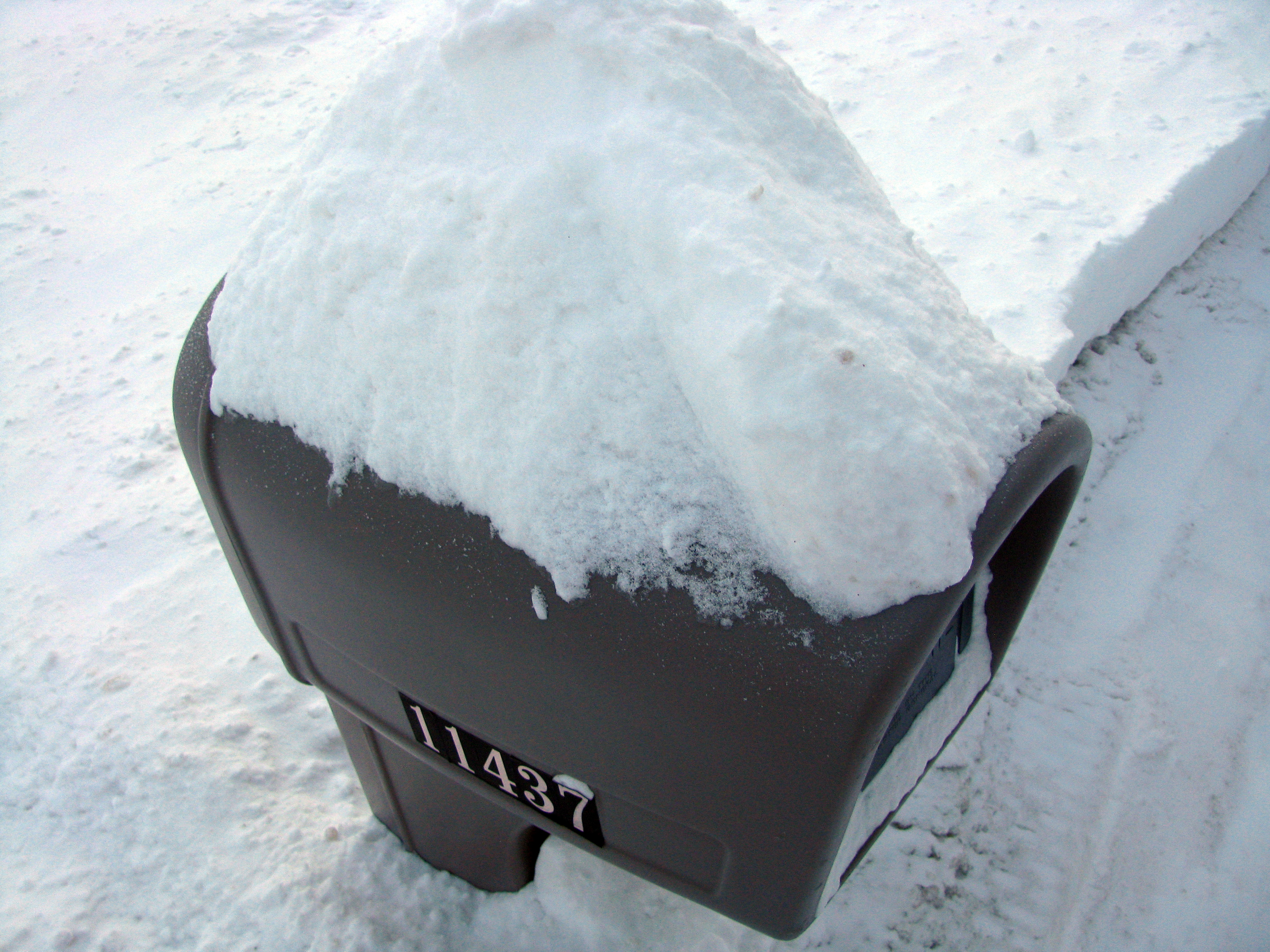
Obscure View of Mailbox

20140510-DSC02440.jpg

Dirt road

Corn field and farm
Middleville Mill Pond-2016-9.jpg
Just another beautiful fall day in Michigan....

Forest fire

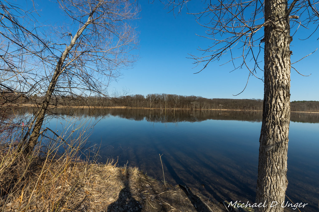
Gun Lake Morn

Middleville Mill Pond-2016-4.jpg
20150502-DSC02959.jpg
bay pointe shore
My Michigan

2016-01-29_08-59-37

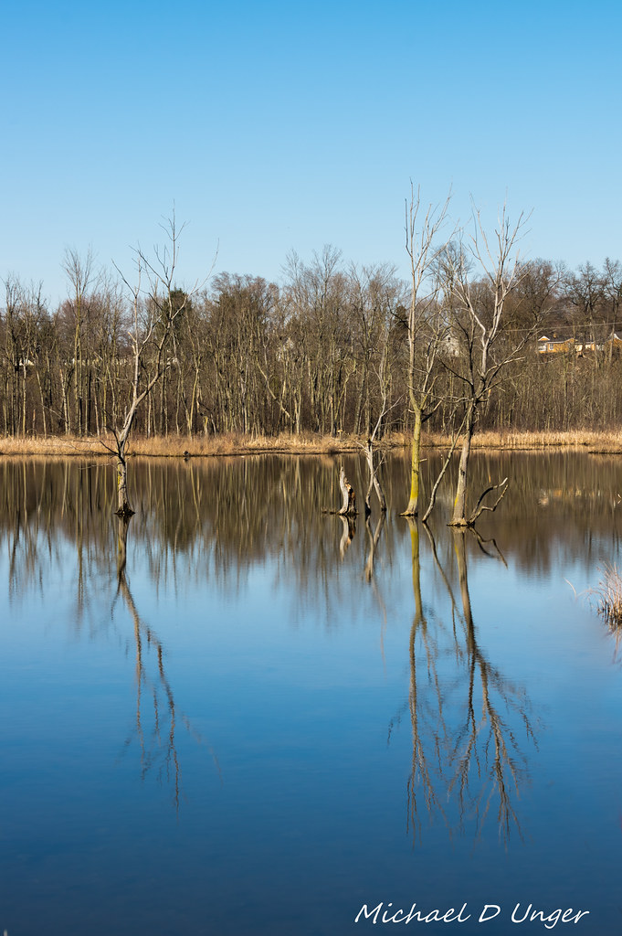
Stump Reflection.jpg

Gun Lake Sunrise
The Long Lost Dock
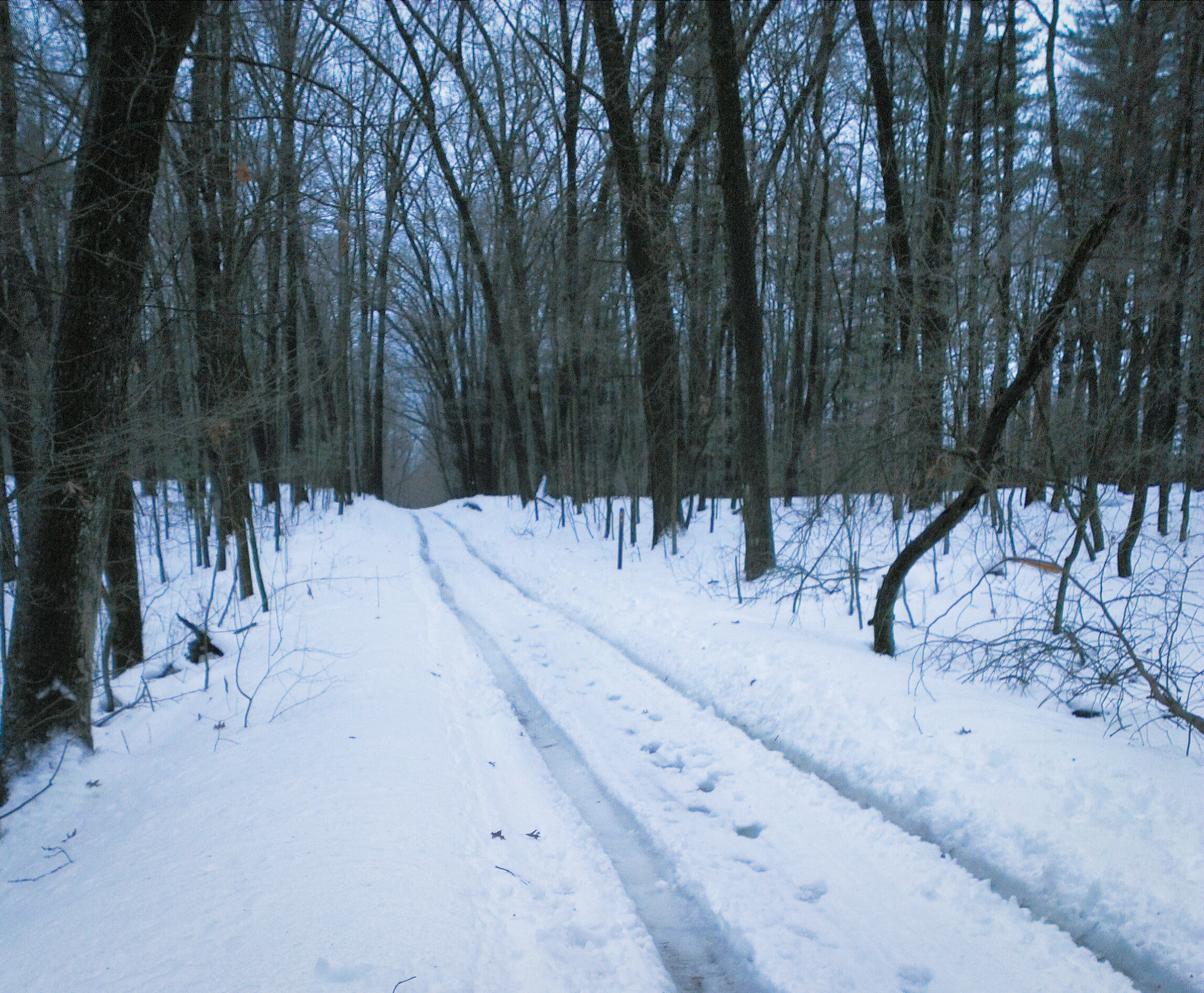
Taking the easy way out
Middleville Mill Pond-2016-8.jpg
Middleville Mill Pond-2016-3.jpg

untitled-2597.jpg
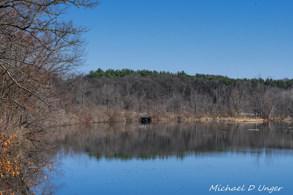
Middleville Mill Pond-2016-1.jpg
Topographic Map of Wayland, MI, USA
Find elevation by address:

Places in Wayland, MI, USA:
Places near Wayland, MI, USA:
W Maple St, Wayland, MI, USA
1029 129th Ave
th Ave, Shelbyville, MI, USA
Leighton Township
1125 Morren Ct
Hopkins Township
701 127th Ave
Kalamazoo Ave, Caledonia, MI, USA
Wayland Township
Dorr Township
Dorr
nd Ave, Dorr, MI, USA
1637 N Payne Lake Rd
Hopkins
1020 Happy Trails Dr
2388 138th Ave
Byron Township
Yankee Springs Township
Thornapple Township
850 76th St Sw
Recent Searches:
- Elevation of Corso Fratelli Cairoli, 35, Macerata MC, Italy
- Elevation of Tallevast Rd, Sarasota, FL, USA
- Elevation of 4th St E, Sonoma, CA, USA
- Elevation of Black Hollow Rd, Pennsdale, PA, USA
- Elevation of Oakland Ave, Williamsport, PA, USA
- Elevation of Pedrógão Grande, Portugal
- Elevation of Klee Dr, Martinsburg, WV, USA
- Elevation of Via Roma, Pieranica CR, Italy
- Elevation of Tavkvetili Mountain, Georgia
- Elevation of Hartfords Bluff Cir, Mt Pleasant, SC, USA