Elevation of Wayah Rd, Franklin, NC, USA
Location: United States > North Carolina > Macon County > Cartoogechaye >
Longitude: -83.512415
Latitude: 35.164989
Elevation: 697m / 2287feet
Barometric Pressure: 93KPa
Elevation Map:
Satellite Map:
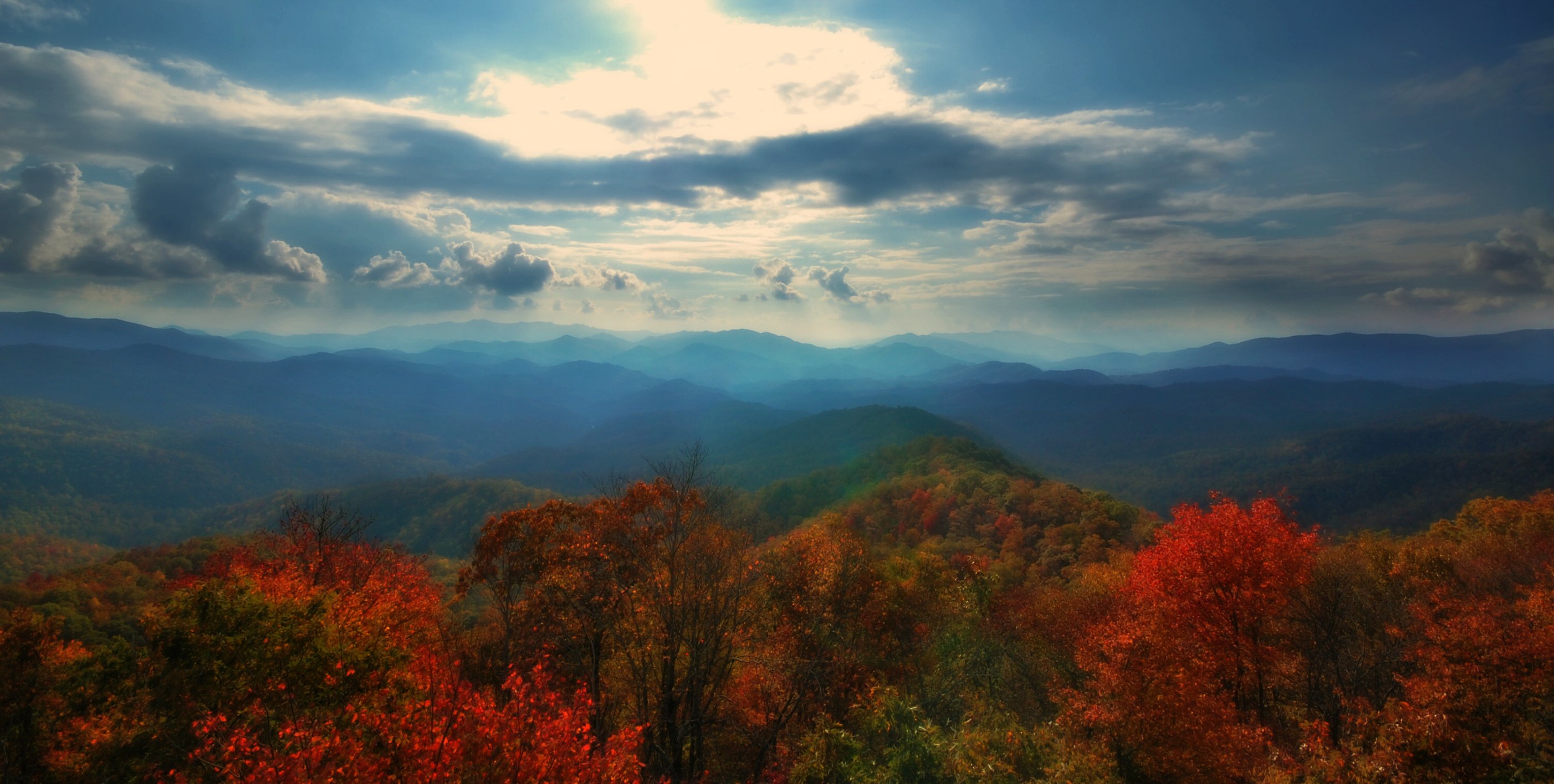
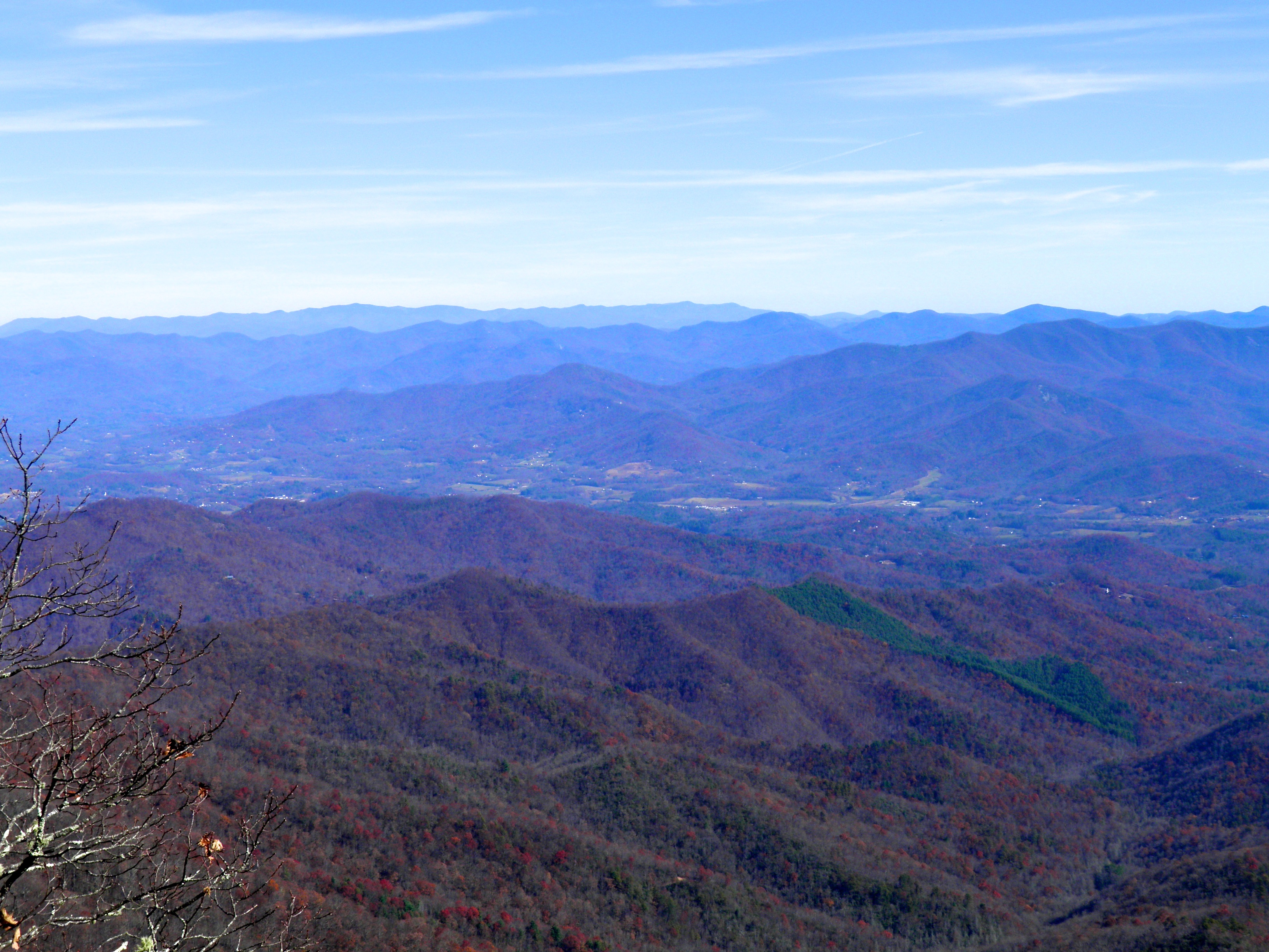
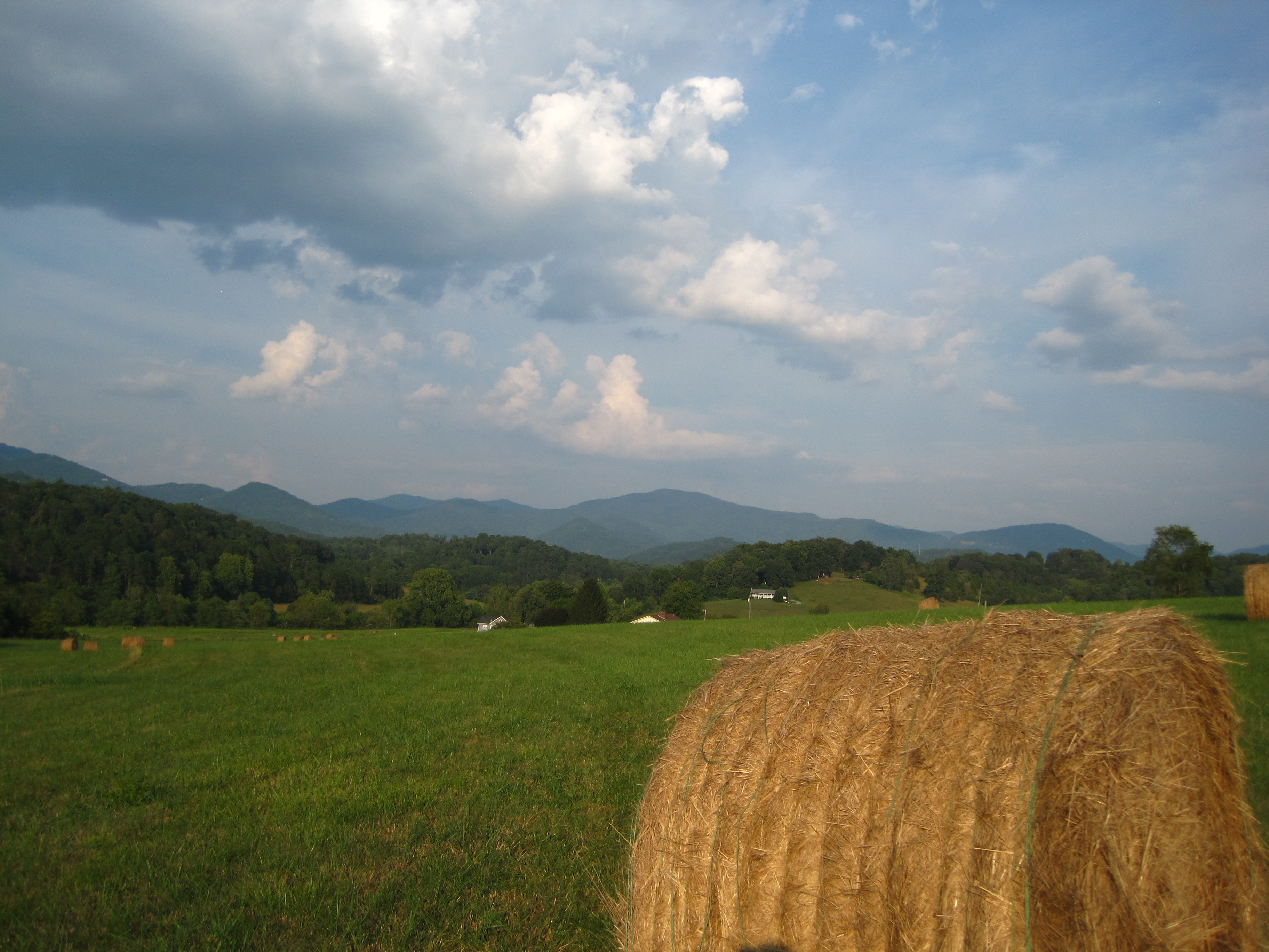
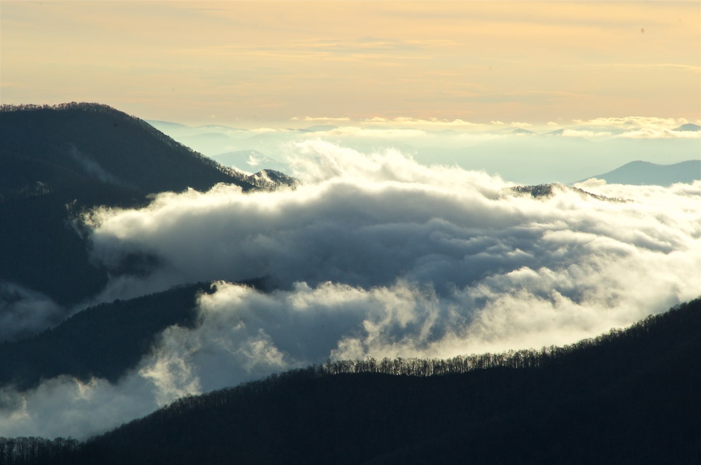
Related Photos:

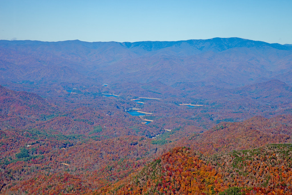
Smoky Mountains on Fire (II)
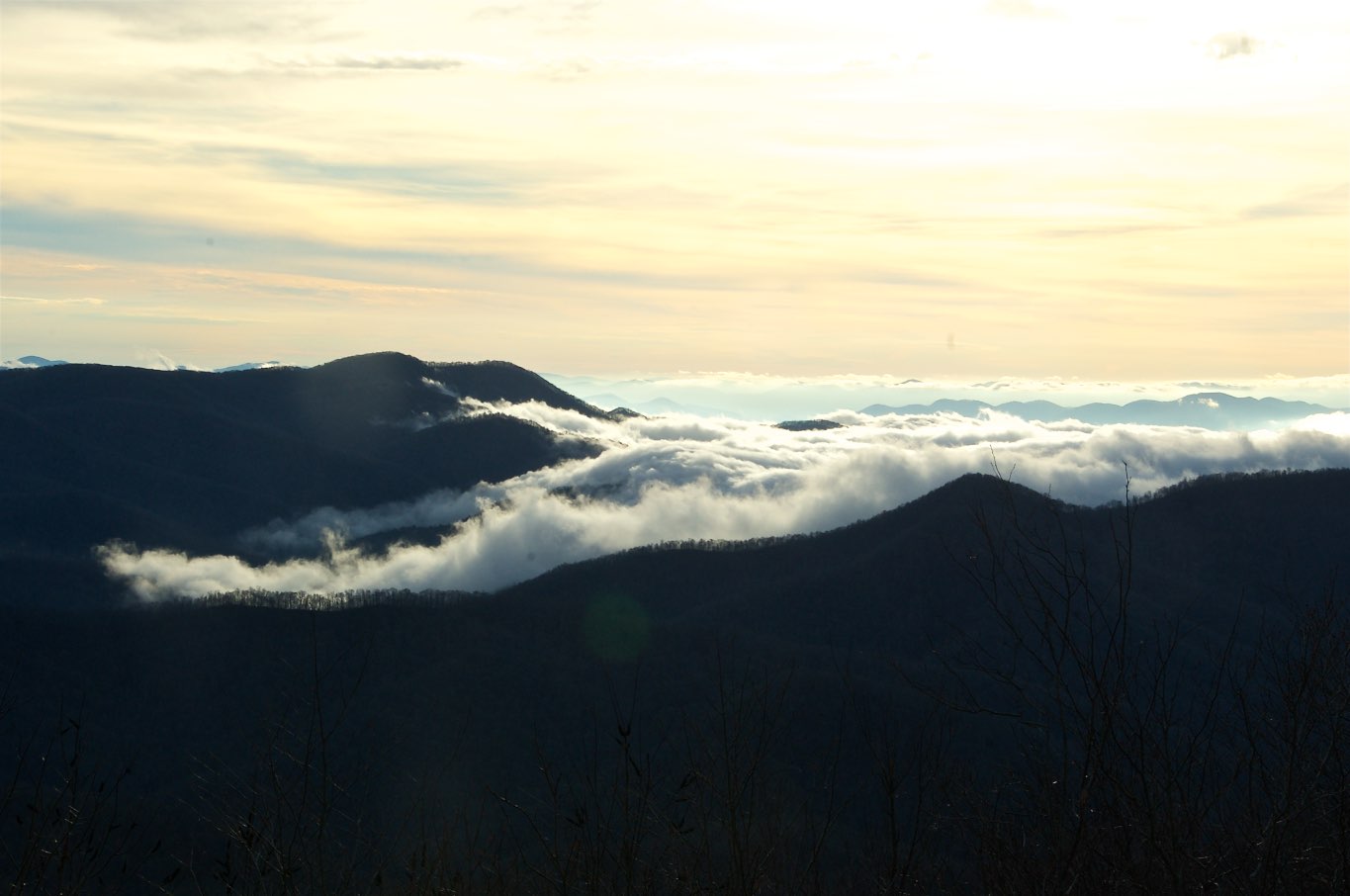
I made it back from Heaven
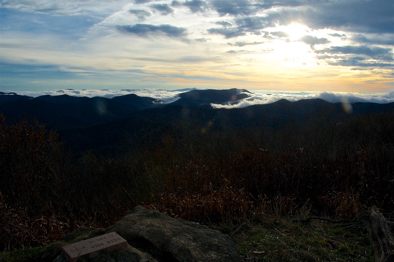
View from Silar Bald
82-140_View_from_Wayah_Bald_Nantahala_National_Forest_NC

Fringed Phacelia

Smoky Mountains on Fire (III)
Standing Indian22

W4C/WM-024 - Siler Bald View
West View from Wesser Bald Observation Tower
Standing Indian24
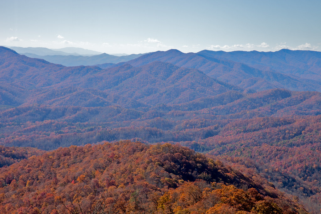
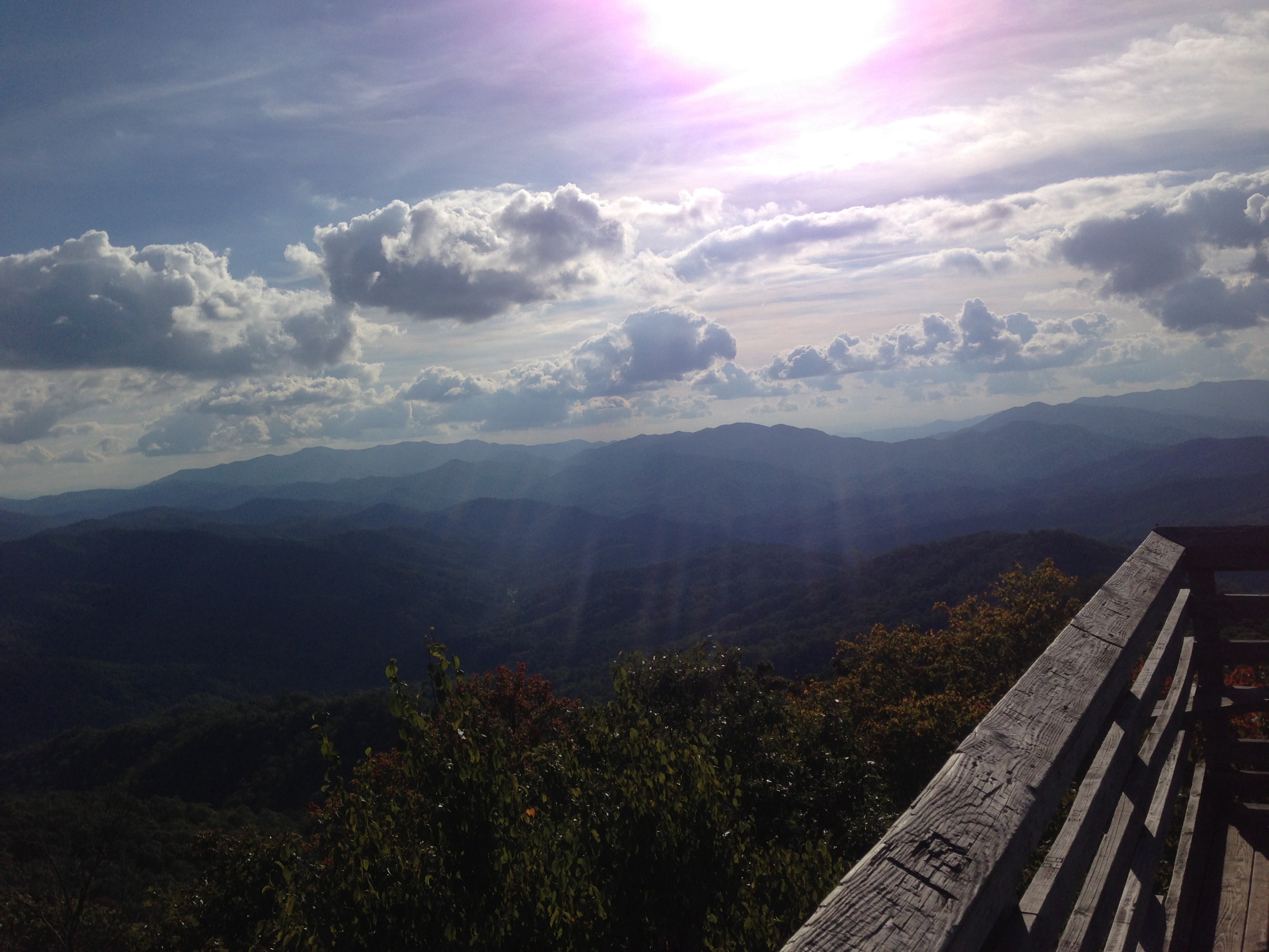
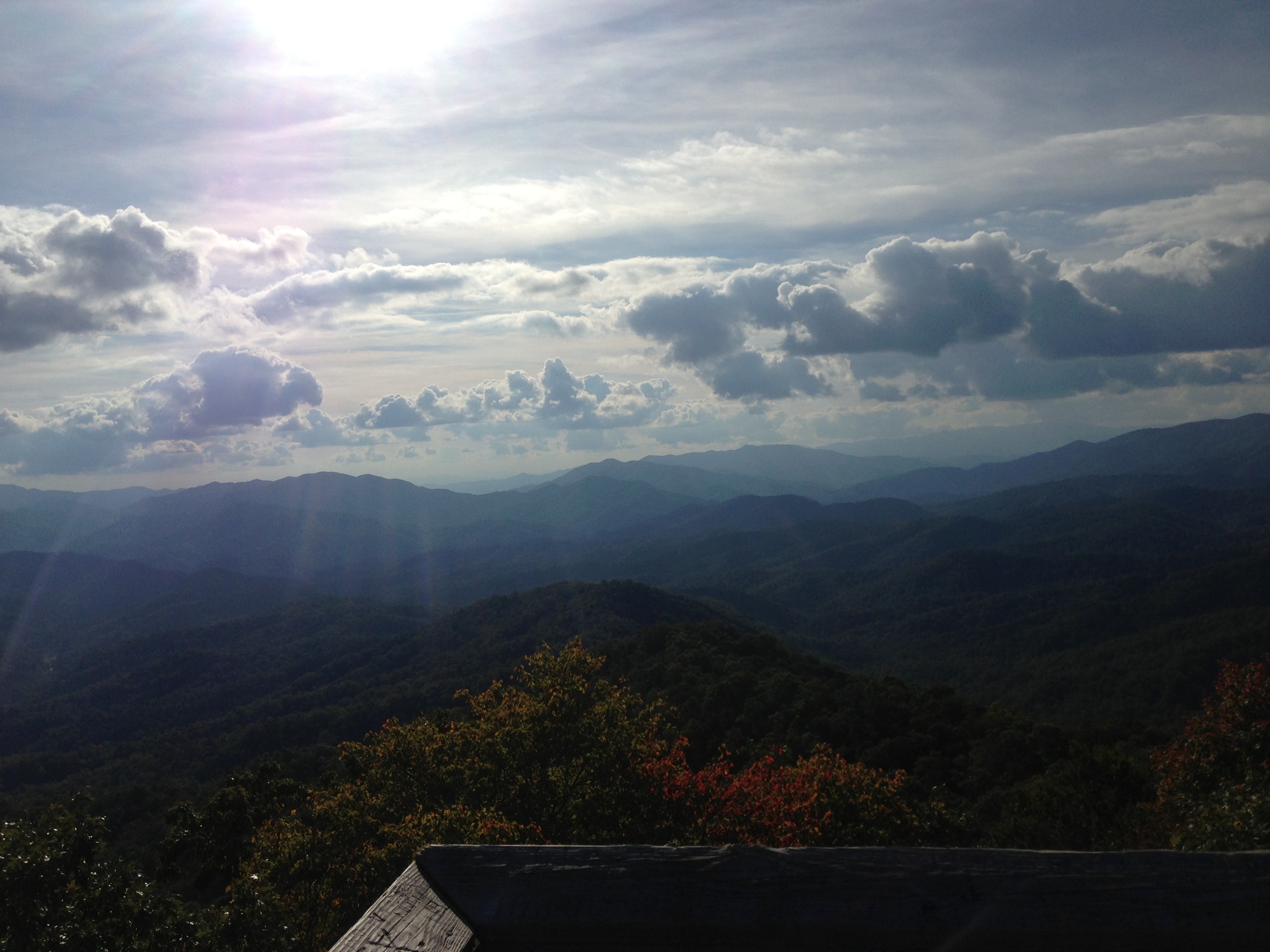
The Cowee Mountains.
W4C/WM-024 - Siler Bald View
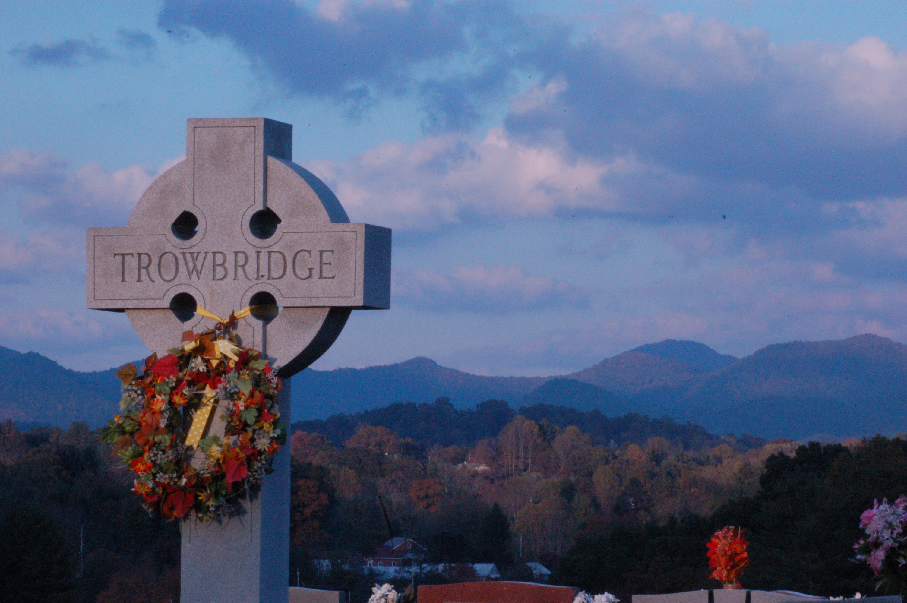
Cemetary View

Wayah Bald Fire Tower - Franklin, North Carolina (HDR)
W4C/WM-024 - Siler Bald View
View from Wayah Bald Tower
Standing Indian23
Fontana Lake and Clingman's Dome from Wesser Bald

Fire Pink
W4C/WM-024 - Siler Bald View
View from Wesser Bald
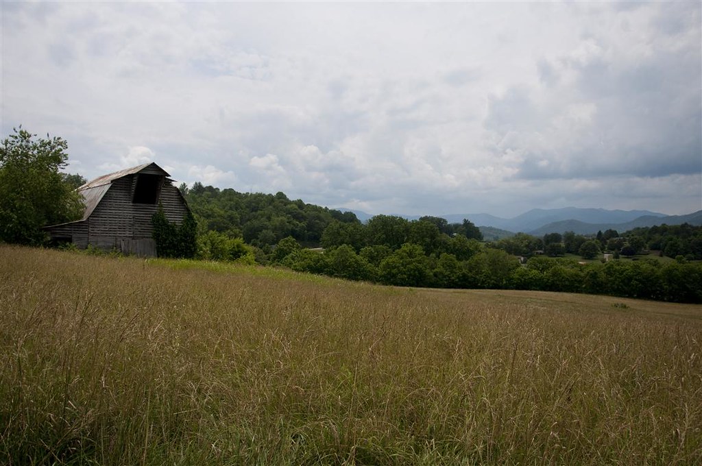
Fields of Gold | Franklin, NC

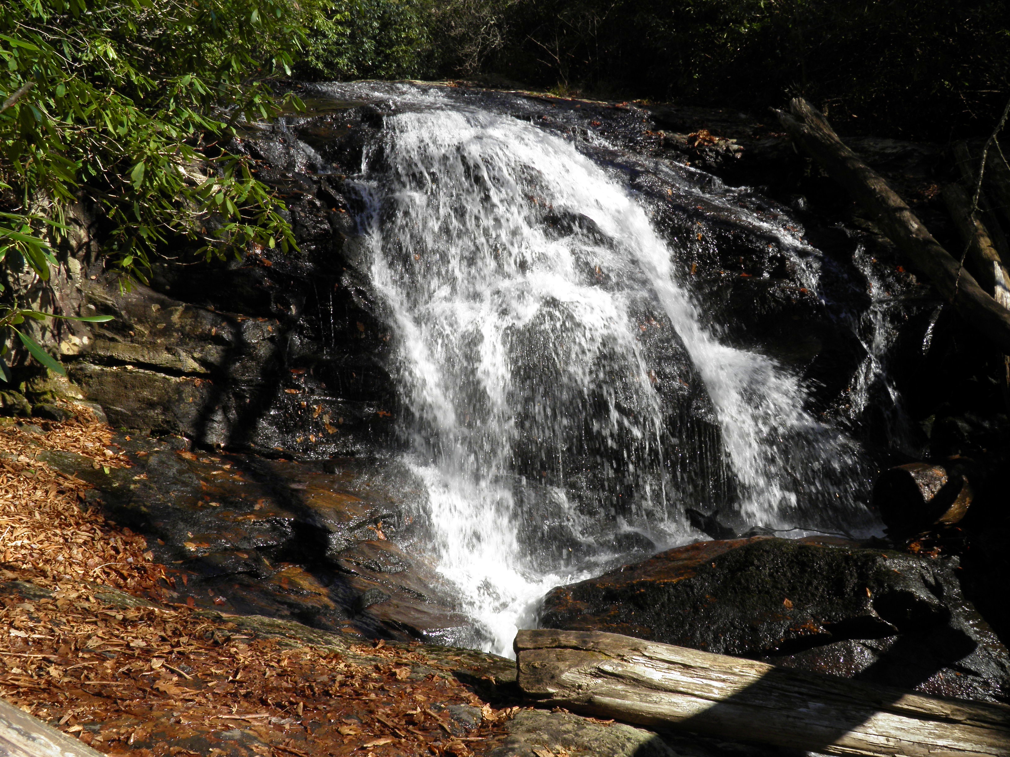
Rufus Morgan Falls
Standing Indian20

Rufus Morgan Trailhead-8426
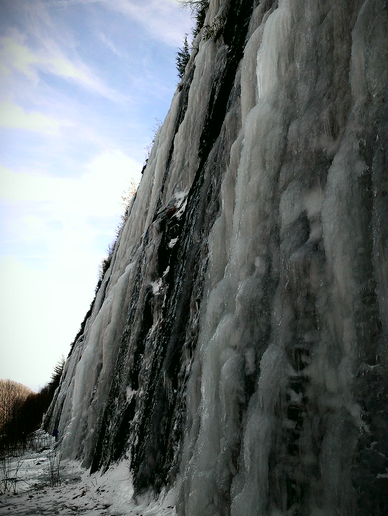
Interstate ice wall
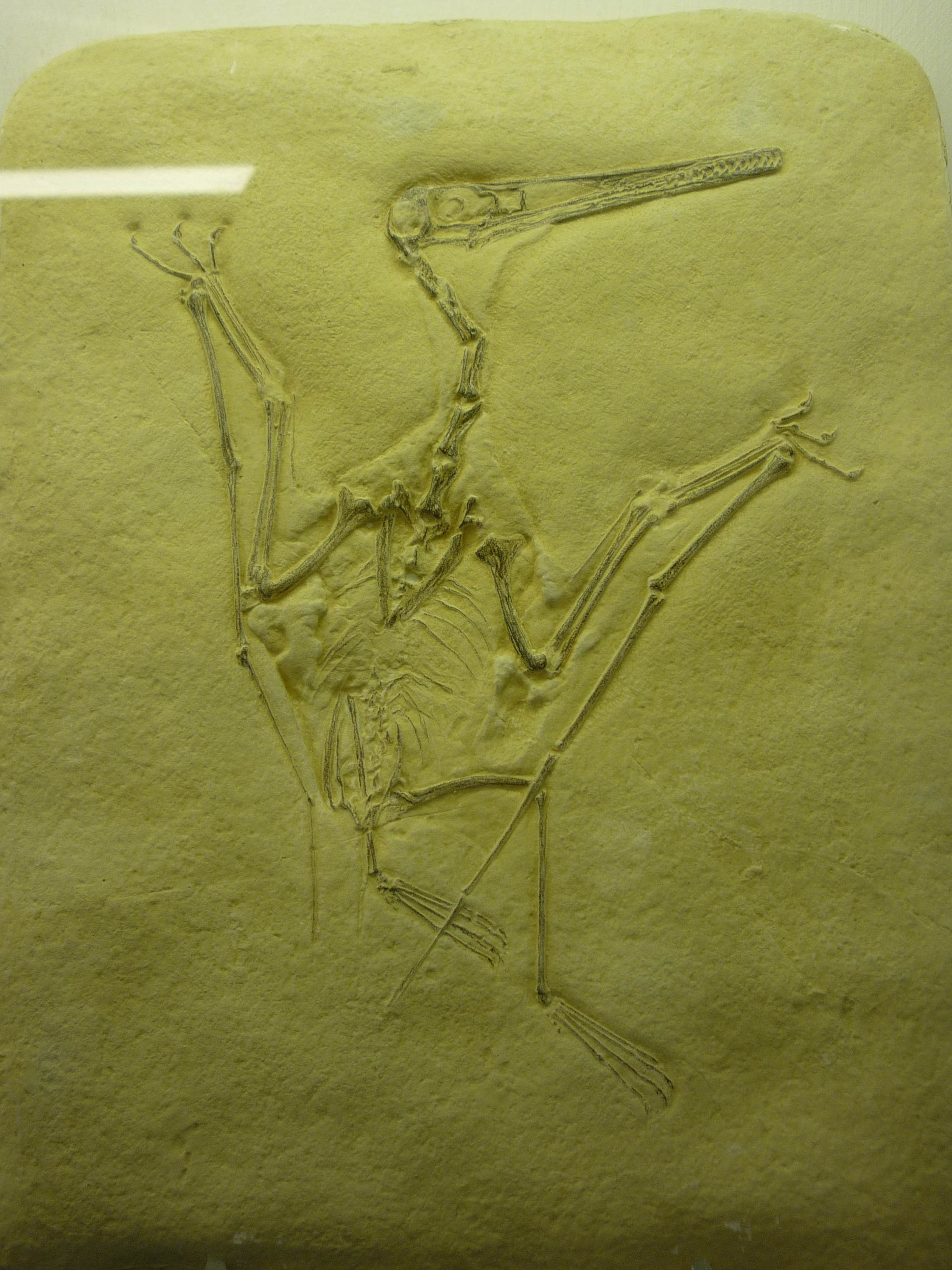
bird-like fossil
2013-09-28 17.08.25

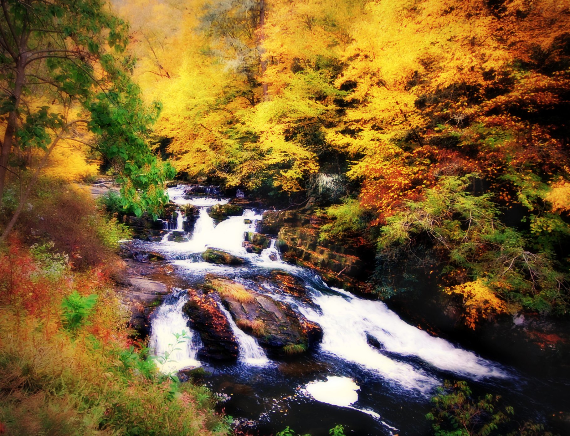
Big Laurel Falls #franklin #standingindian #appalachia #blueridgecountry #welovenc #we_see_wnc #wilderness_culture #biglaurelfalls #diamondbrand_outdoors #cmc100challenge #stream #falls #explore #westernnorthcarolina #landofwaterfalls

Standing Indian19

2013-09-28 17.08.41

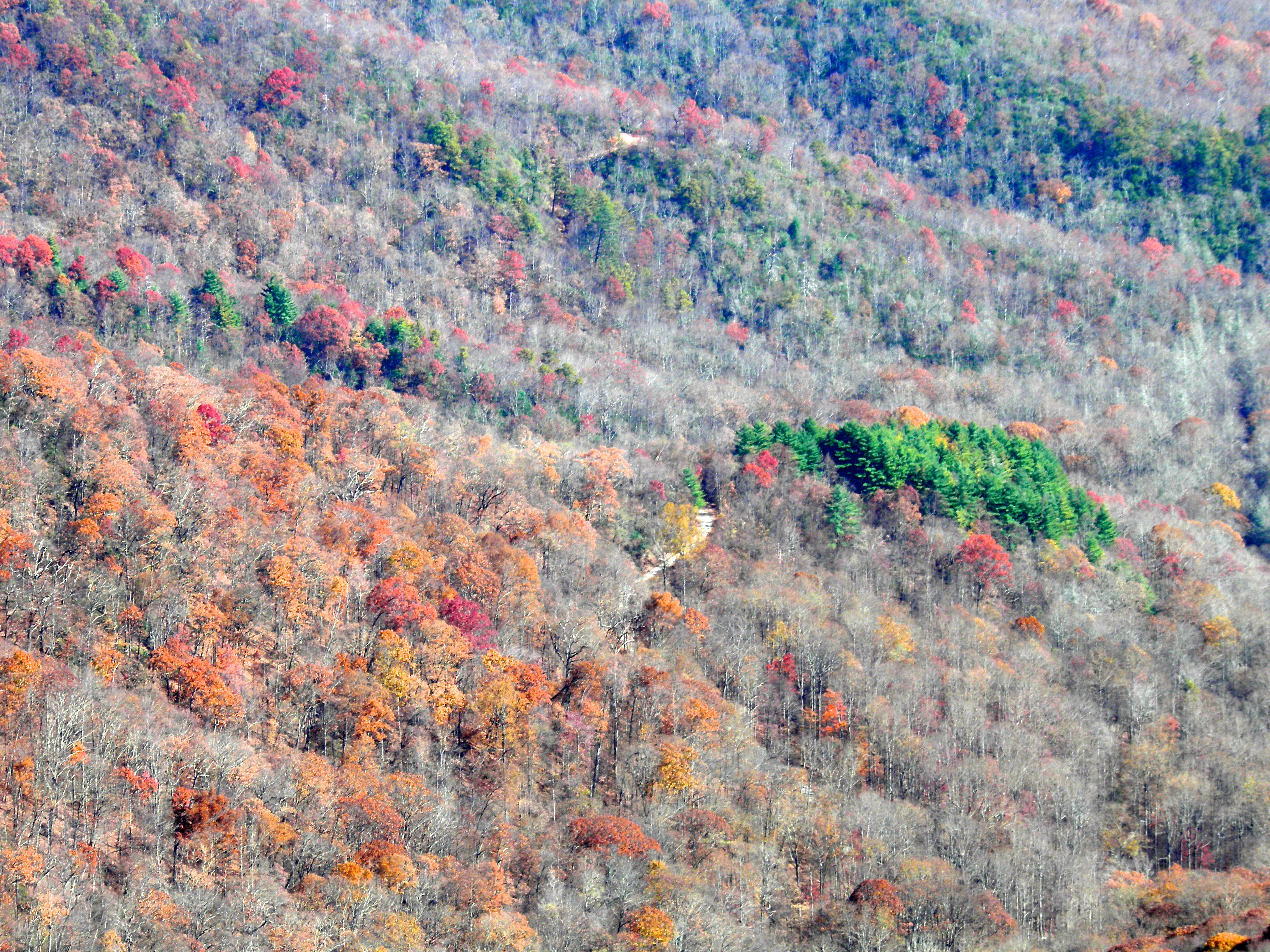
Fall colors
Well, this is obviously going to be popular
2013-09-28 17.08.33
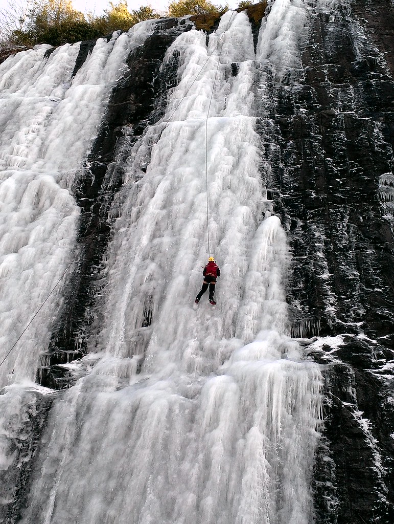
Interstate ice climbers
Topographic Map of Wayah Rd, Franklin, NC, USA
Find elevation by address:

Places near Wayah Rd, Franklin, NC, USA:
3368 Wayah Rd
Wayah Woods Lane
166 Wayah Rd
3639 Wayah Rd
542 Timber Creek Dr
2745 Wayah Rd
4656 Wayah Rd
1960 Wayah Rd
5140 Wayah Rd
610 Garden Flats Rd
Garden Branch Road
901 Reserve Rd
211 Laurel Dr
505 Oak Creek Rd
5496 Upper Burningtown Rd
27 Ray Creek Rd
Wind Forest Drive
699 Wayah Rd
Burningtown Falls Road
150 Laurel Dr
Recent Searches:
- Elevation of Corso Fratelli Cairoli, 35, Macerata MC, Italy
- Elevation of Tallevast Rd, Sarasota, FL, USA
- Elevation of 4th St E, Sonoma, CA, USA
- Elevation of Black Hollow Rd, Pennsdale, PA, USA
- Elevation of Oakland Ave, Williamsport, PA, USA
- Elevation of Pedrógão Grande, Portugal
- Elevation of Klee Dr, Martinsburg, WV, USA
- Elevation of Via Roma, Pieranica CR, Italy
- Elevation of Tavkvetili Mountain, Georgia
- Elevation of Hartfords Bluff Cir, Mt Pleasant, SC, USA