Elevation of Waterville, ME, USA
Location: United States > Maine > Kennebec County >
Longitude: -69.631712
Latitude: 44.5520105
Elevation: 35m / 115feet
Barometric Pressure: 101KPa
Elevation Map:
Satellite Map:
Related Photos:
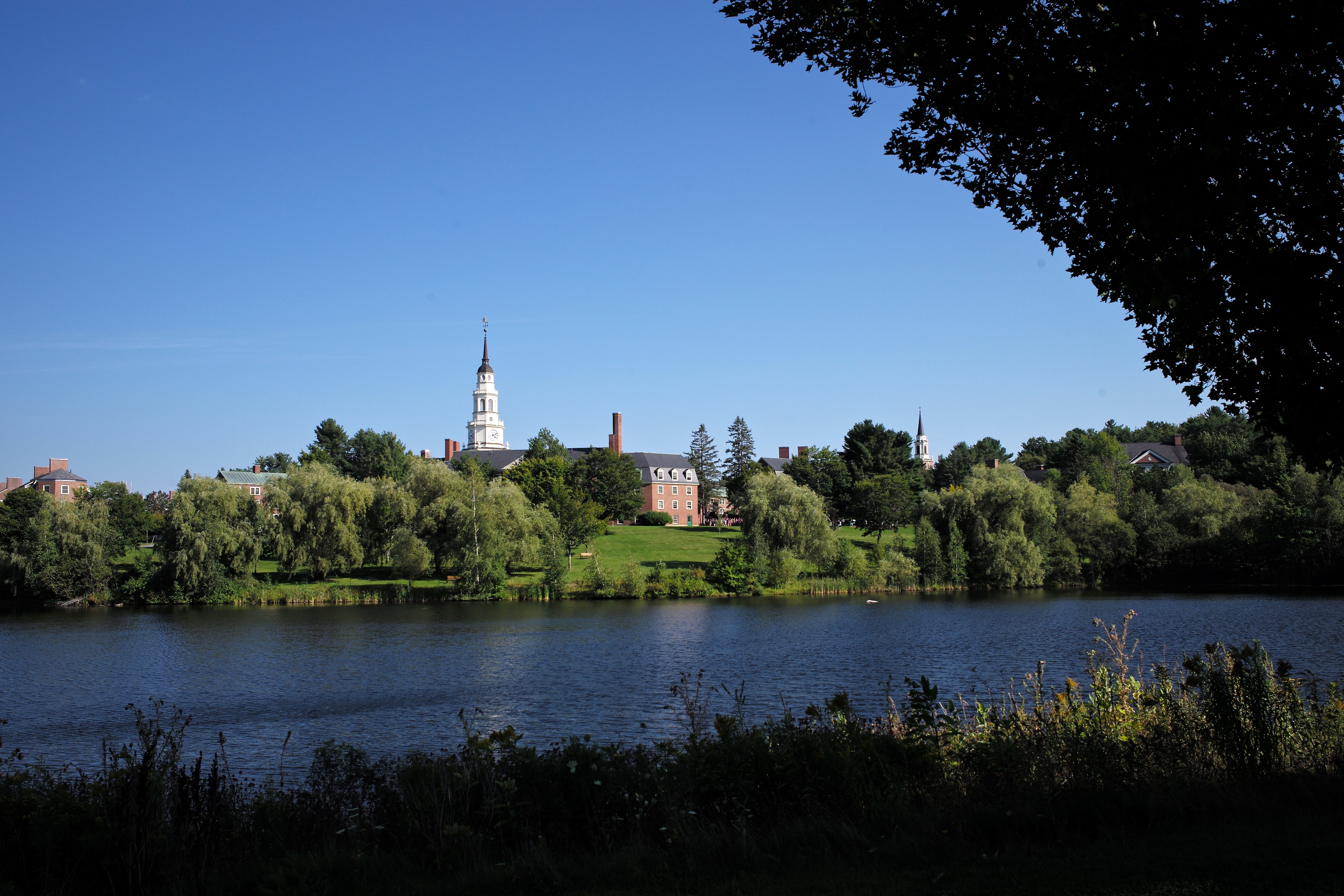
Colby College
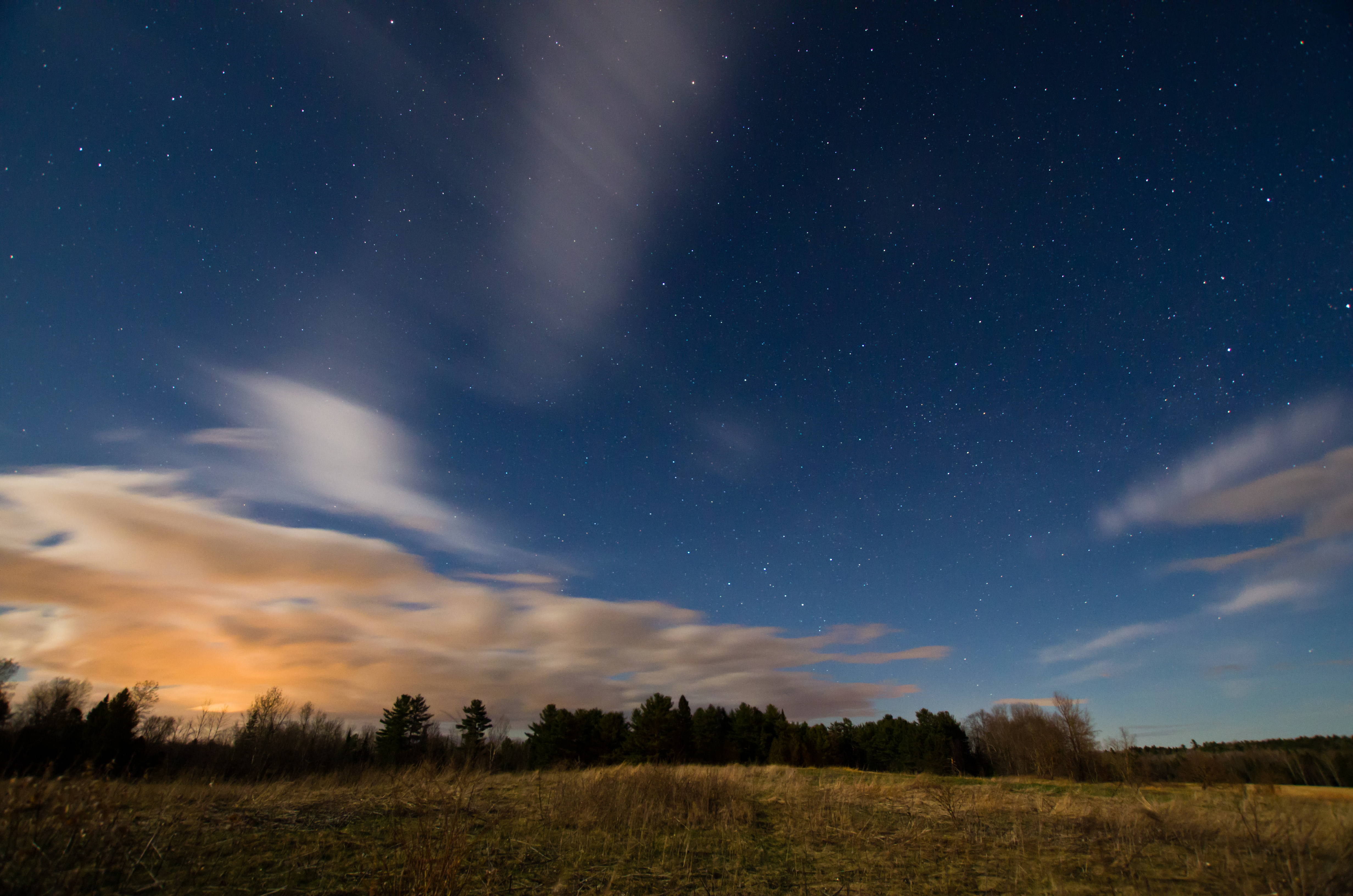
Sunkhaze Meadows Under the Stars; Benton, Maine
Colby College

Goff Brook Falls 2

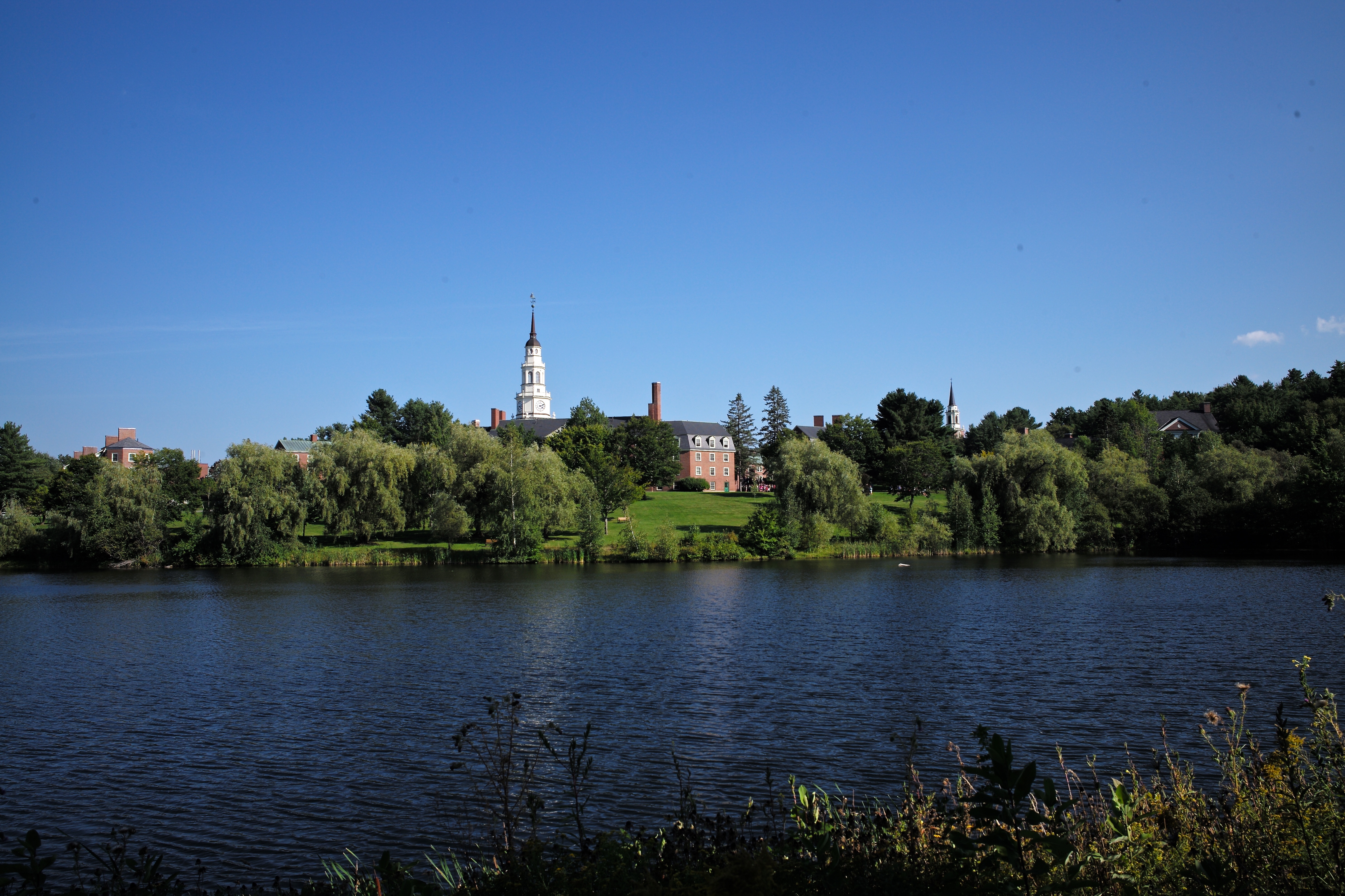
Colby College: Miller Library viewed from Lorimer Chapel
Topographic Map of Waterville, ME, USA
Find elevation by address:

Places in Waterville, ME, USA:
Places near Waterville, ME, USA:
8 Colonial St
56 Clinton Ave, Winslow, ME, USA
20 S Garand St
Winslow
100 China Rd
253 Augusta Rd
Mayflower Hill Drive
10 Collette St
6 Bassett Rd, Winslow, ME, USA
Colby College
200 Me-137
82 Bassett Rd
277 Bassett Rd
Bob-mar Airport-me20
415 West River Road
34 Meadow Dr
34 Meadow Dr
34 Meadow Dr
Wunderlich-malec
1237 Augusta Rd
Recent Searches:
- Elevation of Corso Fratelli Cairoli, 35, Macerata MC, Italy
- Elevation of Tallevast Rd, Sarasota, FL, USA
- Elevation of 4th St E, Sonoma, CA, USA
- Elevation of Black Hollow Rd, Pennsdale, PA, USA
- Elevation of Oakland Ave, Williamsport, PA, USA
- Elevation of Pedrógão Grande, Portugal
- Elevation of Klee Dr, Martinsburg, WV, USA
- Elevation of Via Roma, Pieranica CR, Italy
- Elevation of Tavkvetili Mountain, Georgia
- Elevation of Hartfords Bluff Cir, Mt Pleasant, SC, USA