Elevation of Watershed Way, Fulshear, TX, USA
Location: United States > Texas > Fort Bend County > Fulshear >
Longitude: -95.898825
Latitude: 29.6792365
Elevation: 33m / 108feet
Barometric Pressure: 101KPa
Elevation Map:
Satellite Map:
Related Photos:

The View Over Our Back Fence In Katy Texas

Not A Refueling Station
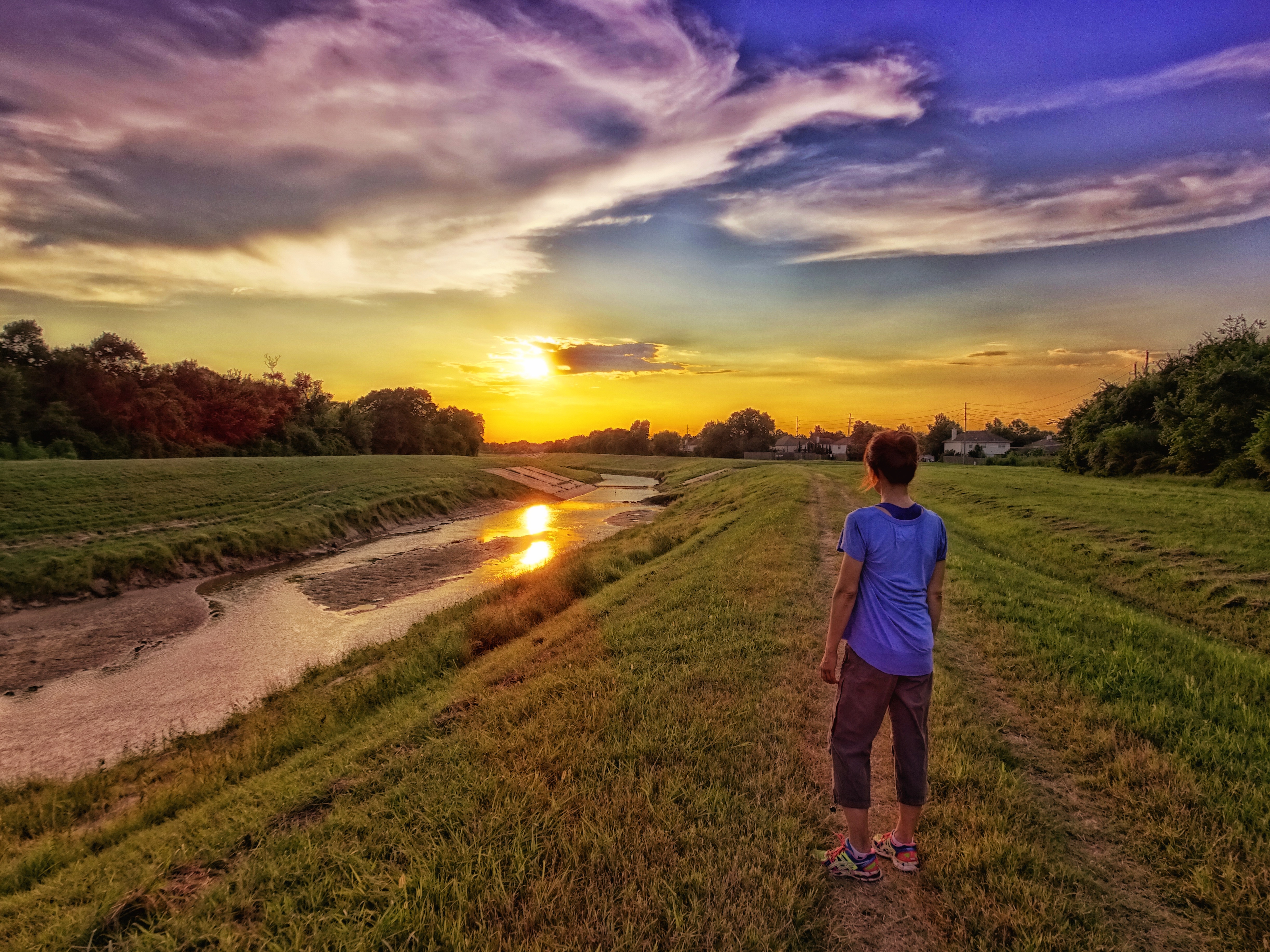
Sunset Walk
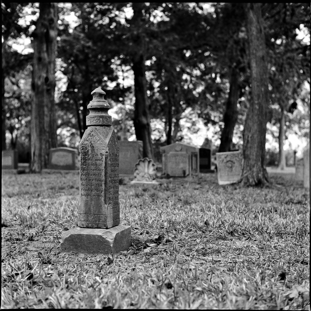
empty is the cradle

Golden Fritillary II

Another View

Crested Caracara

Silo Row

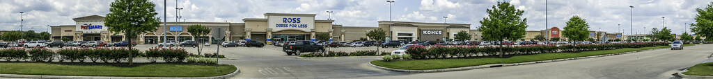
Katy Mills Outlet Center

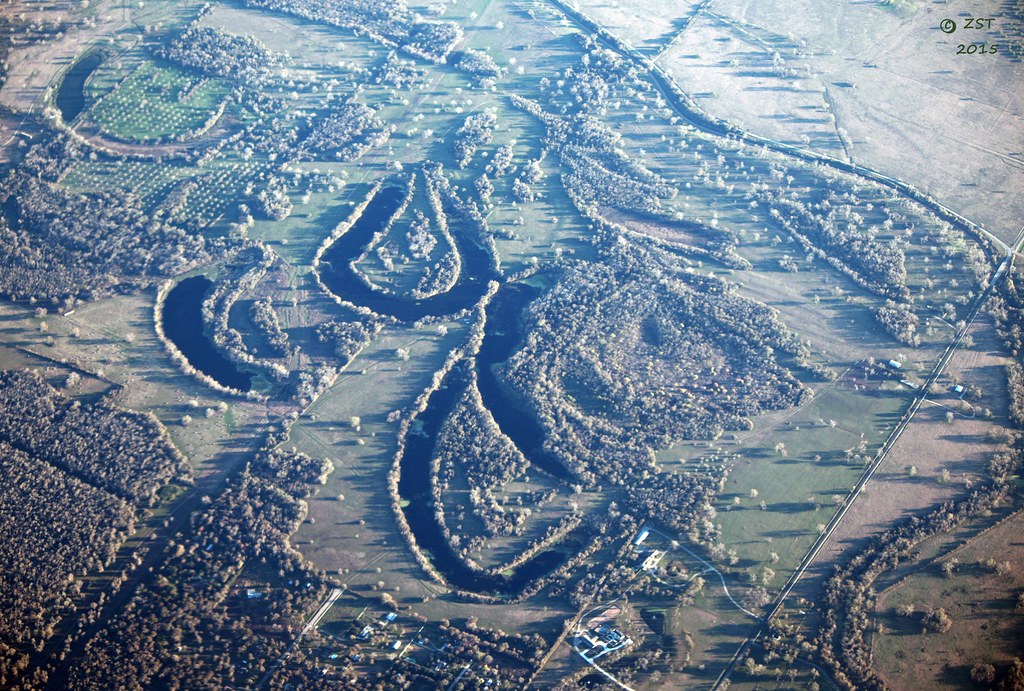
Brazos River Meanders

Who is Corey Brooks?

The muddy waters of the Brazos River

Ox-bow Lakes & Evening Shadows

Keezer Build

1959 Corvette Side View
The Brazos Was 'Ere

BNSF work train at Rosenberg Junction TX

1959 Fury Rear View

Rosenberg Junction TX

Dodge Challenger + Chrysler 300

1957 Fury Rear View

Brazos Bank

Who Needs a Lawn Mower?

stand tall

Subaru Forester Sunset - Orchard, Texas

Pipeline Suspension Bridge over the Brazos, Wallis, Texas 1408231204
Wetland Sweep

Railroad over US 90A, Rosenberg, Texas 1407261109

Model train display, Rosenberg TX
Bella Terra Panorama With Road and Landscapeing

Bella-Terra-Pads-Day

Infinitree II

a lonely business

Hiding in the Shadows

Water on Fire

Rosenberg Thunderstorm 170810

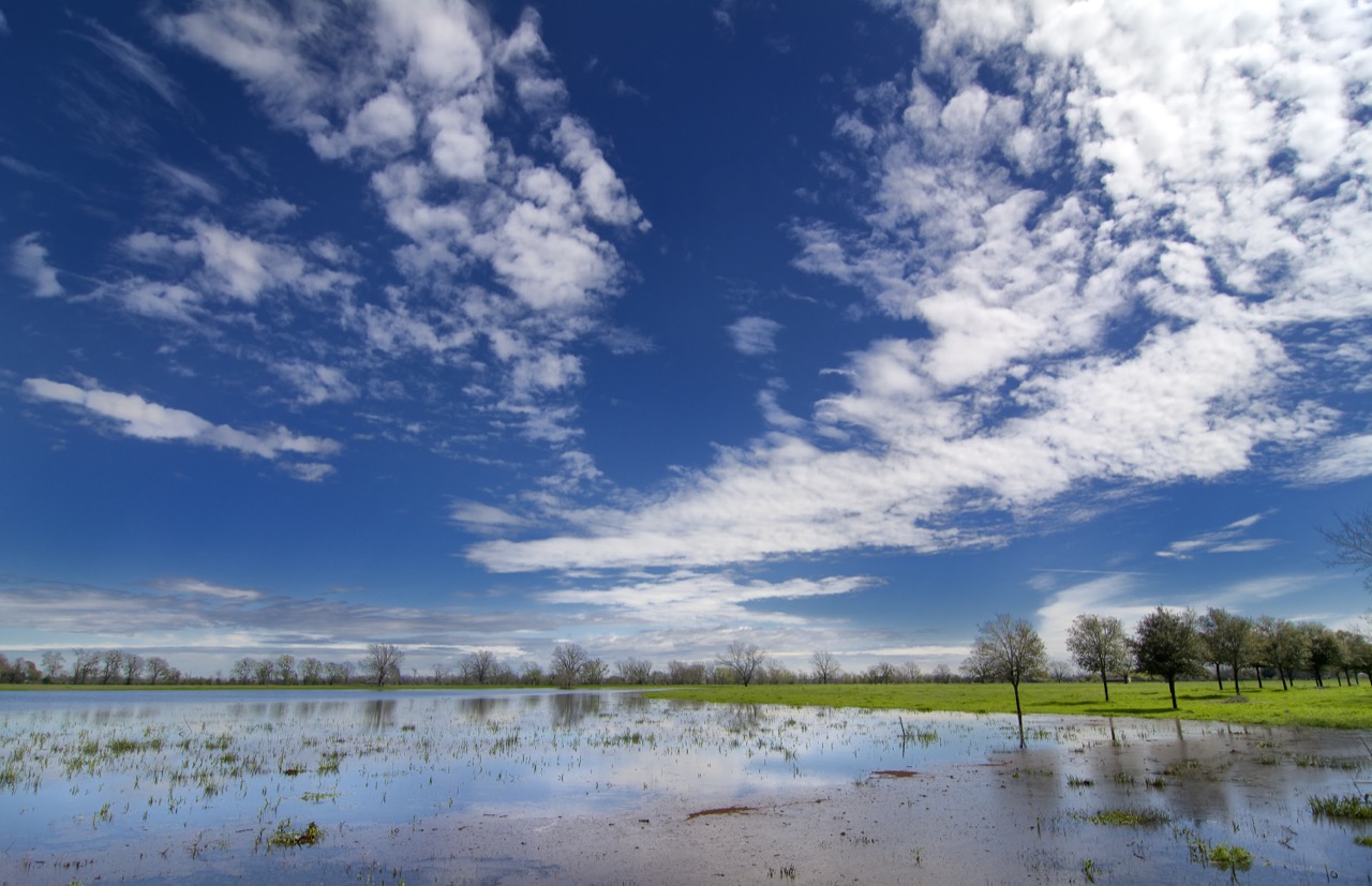
Wheat Fields Blue Sky

#katy #sunset #usa #america #landscape #watertank #wanderlust #roadtrip #tv_allskies #evening. #sky #skyporn #sunrise_sunsets_aroundworld #sunset_madness

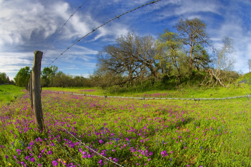
Prairie Fences
Texas Spring

Buffalo Bayou Sunset
Topographic Map of Watershed Way, Fulshear, TX, USA
Find elevation by address:

Places near Watershed Way, Fulshear, TX, USA:
Fulbrook On Fulshear Creek
5002 Lodge Lake Drive
30402 Garden Ridge Ct
Perry Homes - Fulbrook On Fulshear Creek 62'/80'
5423 Lake Hill Farm Way
Shady Oak Drive
30906 Shady Oak Dr
5926 Song Bird Ln
Song Bird Lane
5615 James Ln
Hay Field Lane
Fulshear
Riverlake Road
Lower Oxbow Trce
32243 Waterford Crest Ln
5343 Windrush St
5311 Waterbeck St
4639 Oxbow Cir W
4319 Oxbow Cir E
4318 Oxbow Cir W
Recent Searches:
- Elevation of Village Point Dr, Daphne, AL, USA
- Elevation map of Kabardino-Balkarian Republic, Russia
- Elevation of Tyrnyauz, Kabardino-Balkarian Republic, Russia
- Elevation of Sunset Dr, Hernando, MS, USA
- Elevation of Lake Rotoroa, Tasman, New Zealand
- Elevation of George St, New Bern, NC, USA
- Elevation of Cove Rd, Jasper, GA, USA
- Elevation of Cove Rd, Jasper, GA, USA
- Elevation of South Yankee Meadow Road, Forest Road, Paragonah, UT, USA
- Elevation of SW Elderview Dr, Sherwood, OR, USA