Elevation of Waternish Rd, Aspen, NS B0H 1E0, Canada
Location: Canada > Nova Scotia > Guysborough County > St. Mary's >
Longitude: -61.988842
Latitude: 45.183112
Elevation: 18m / 59feet
Barometric Pressure: 101KPa
Elevation Map:
Satellite Map:
Related Photos:
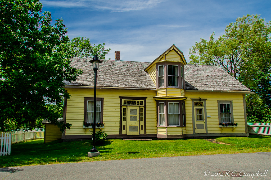
View Towards School & Church
View from our campground
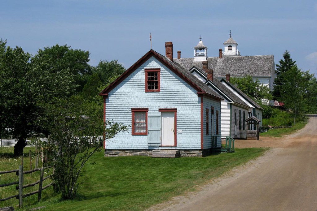
House at Sherbrooke Village-0451

BW - House at Sherbrooke Village - Nova Scotia-0466
DSCN2593 ES

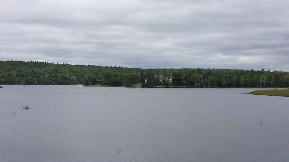
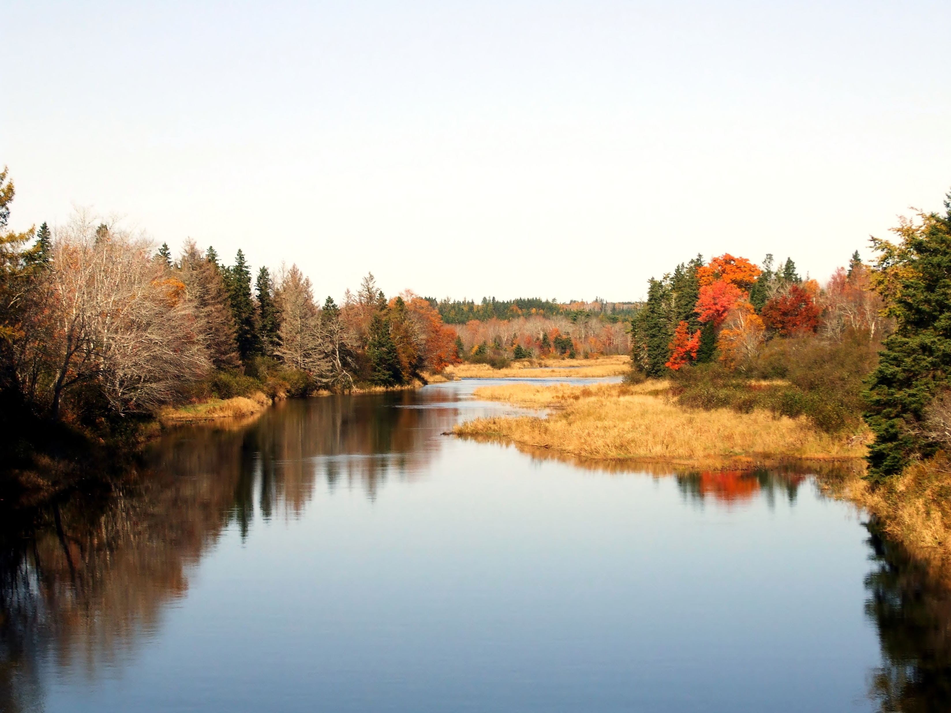
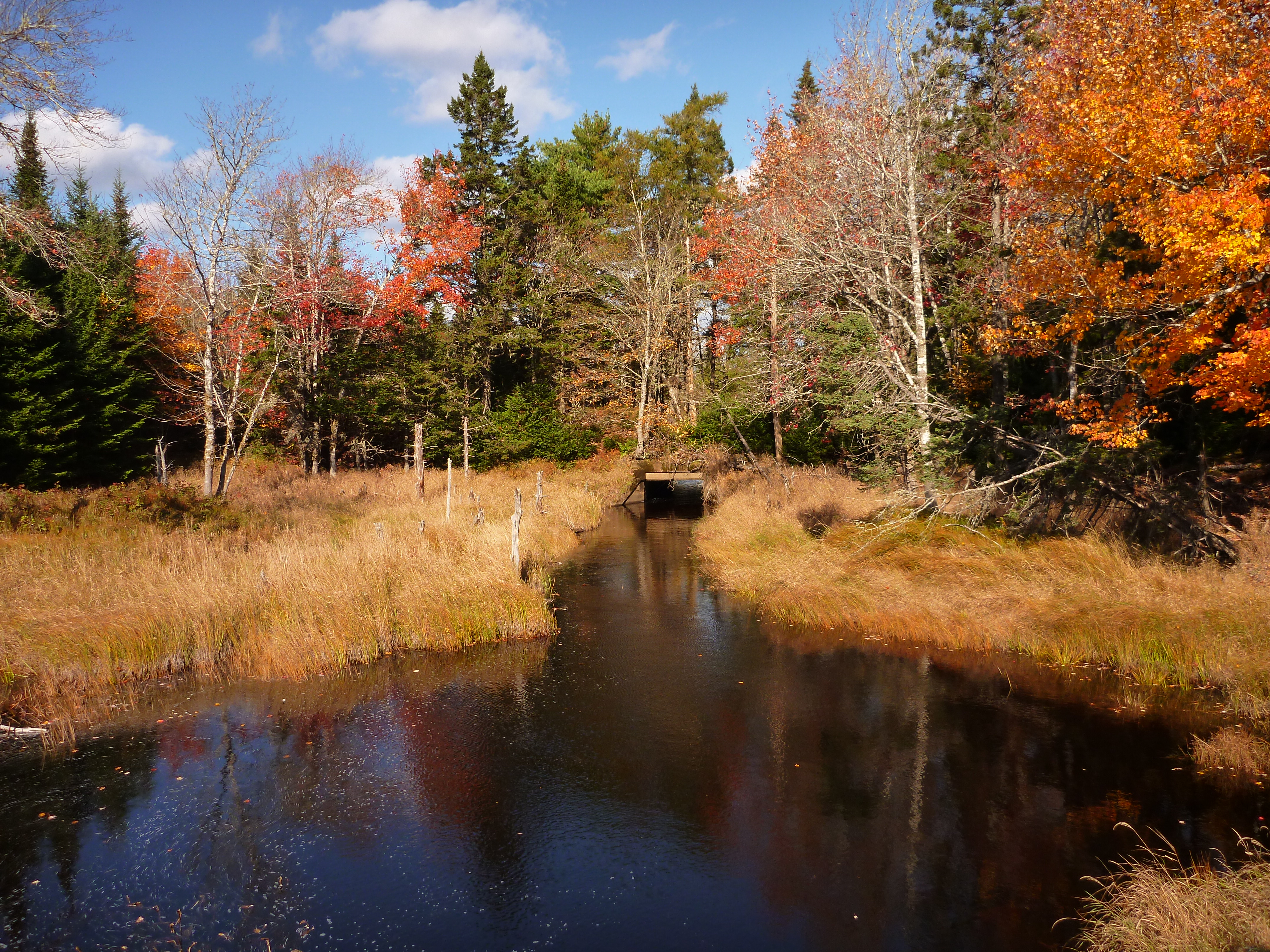
Lower St. Mary's River
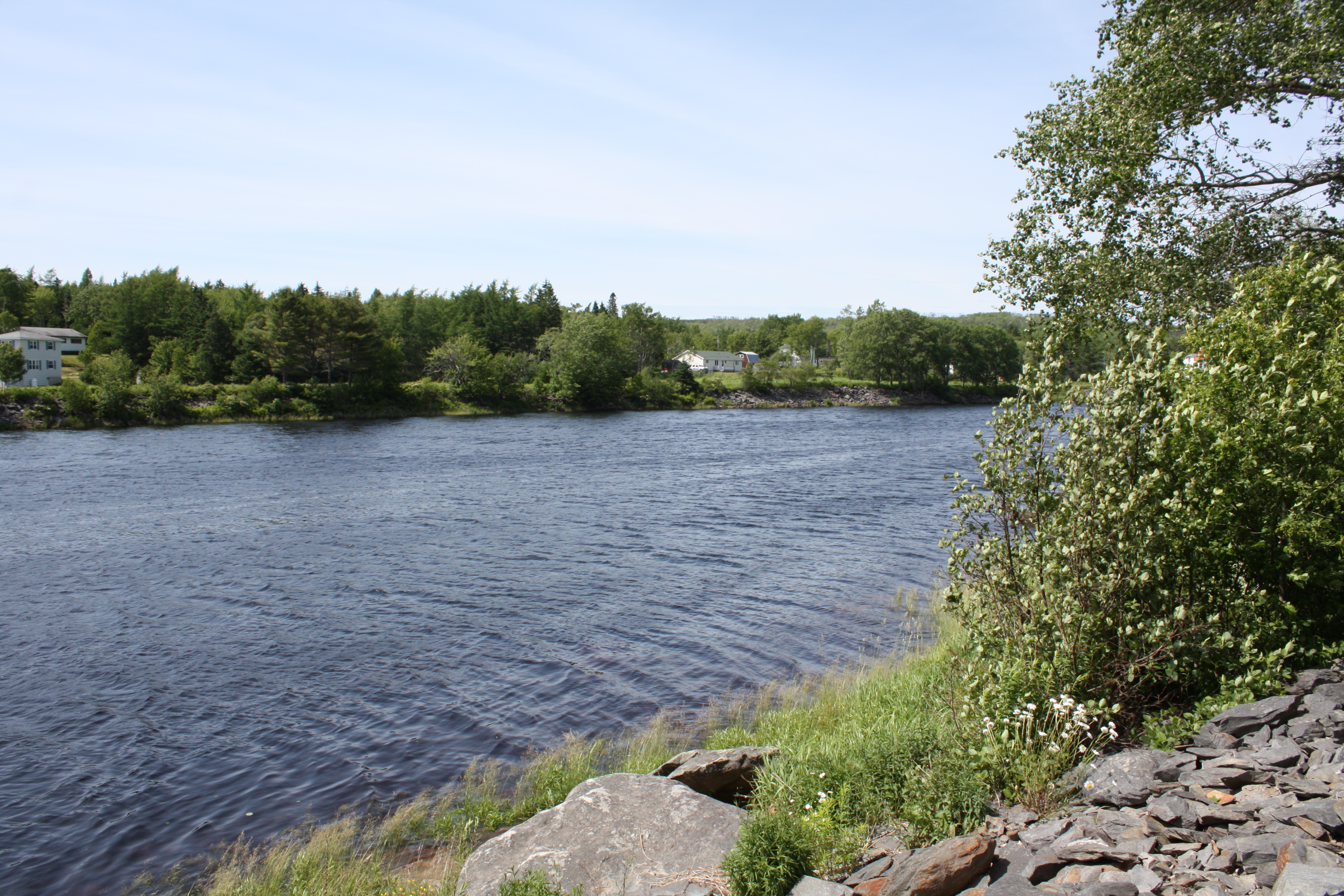
East River St. Marys
West River St. Mary's
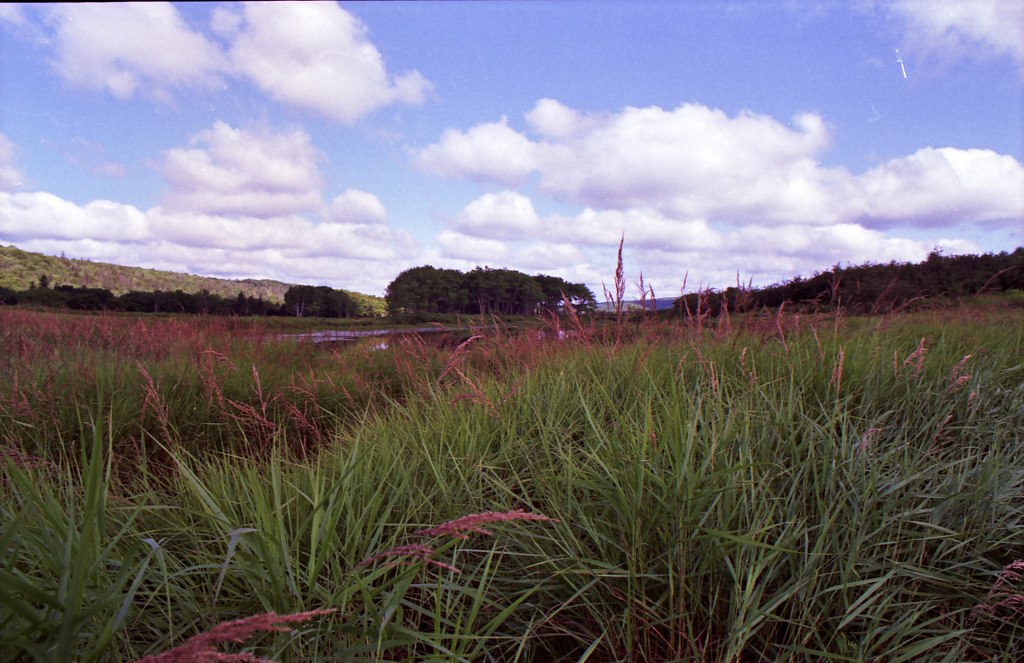
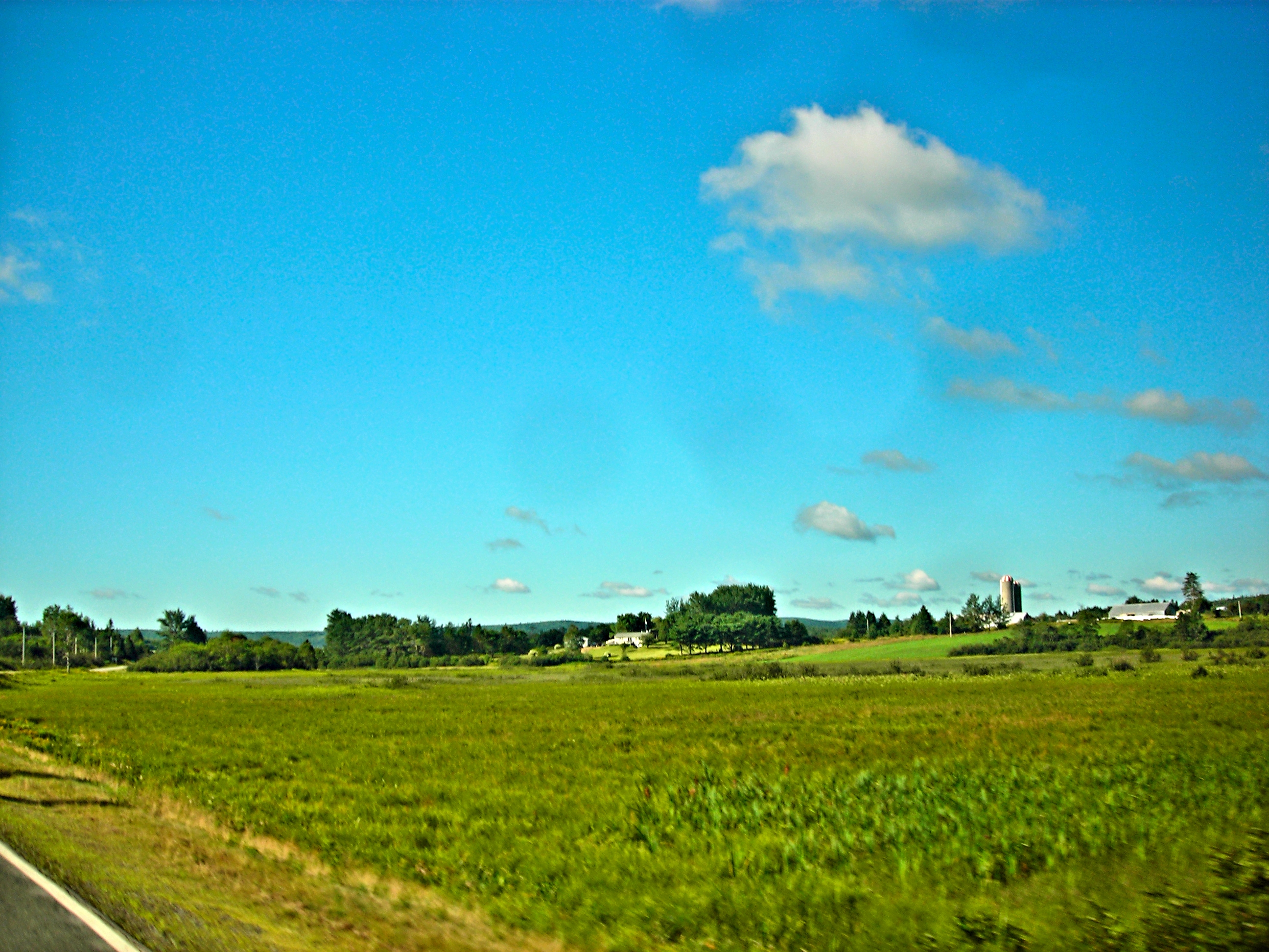
Tall Grass
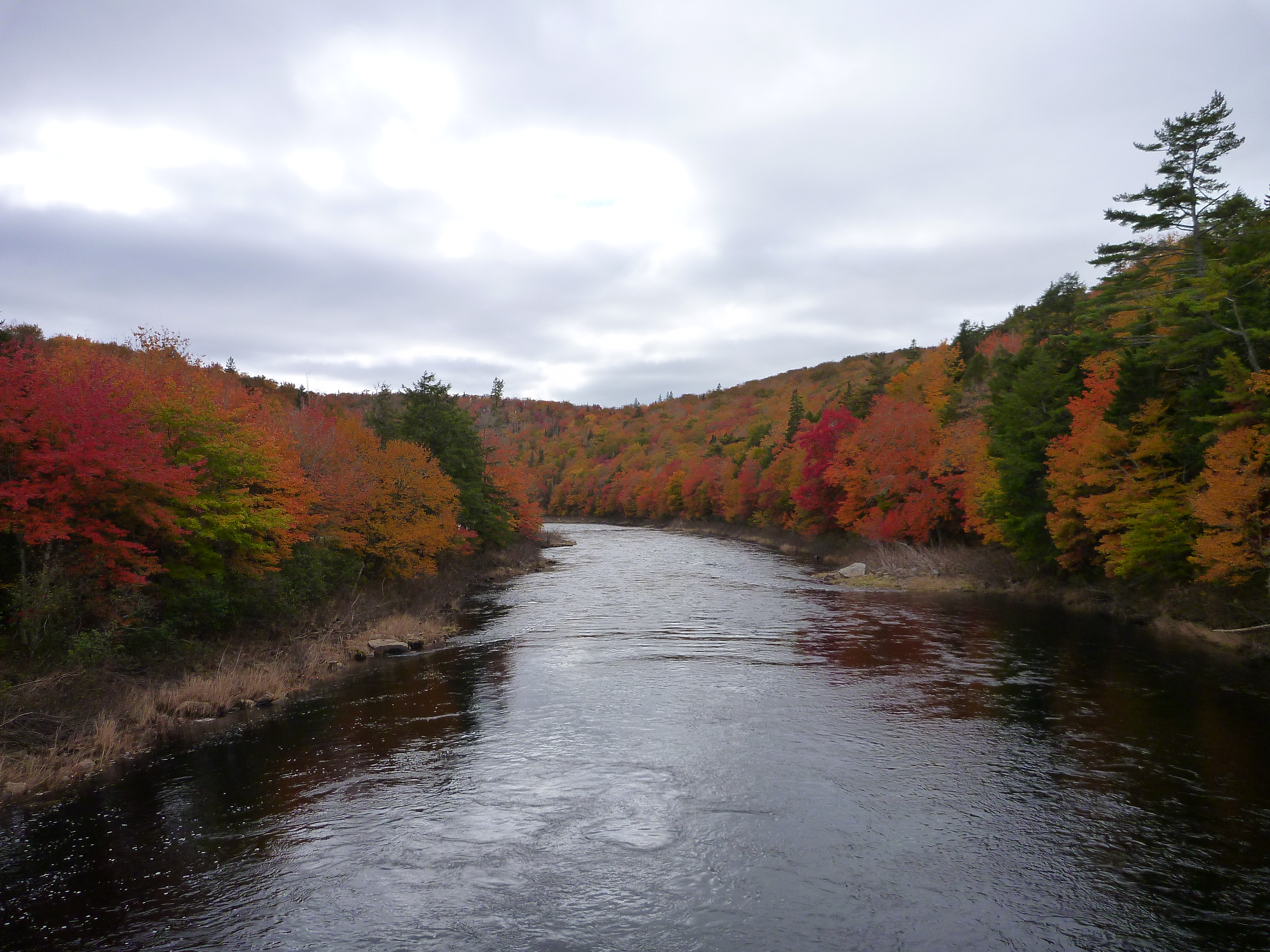
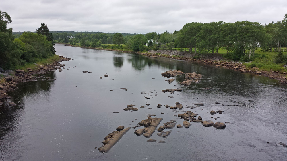
The St. Mary's

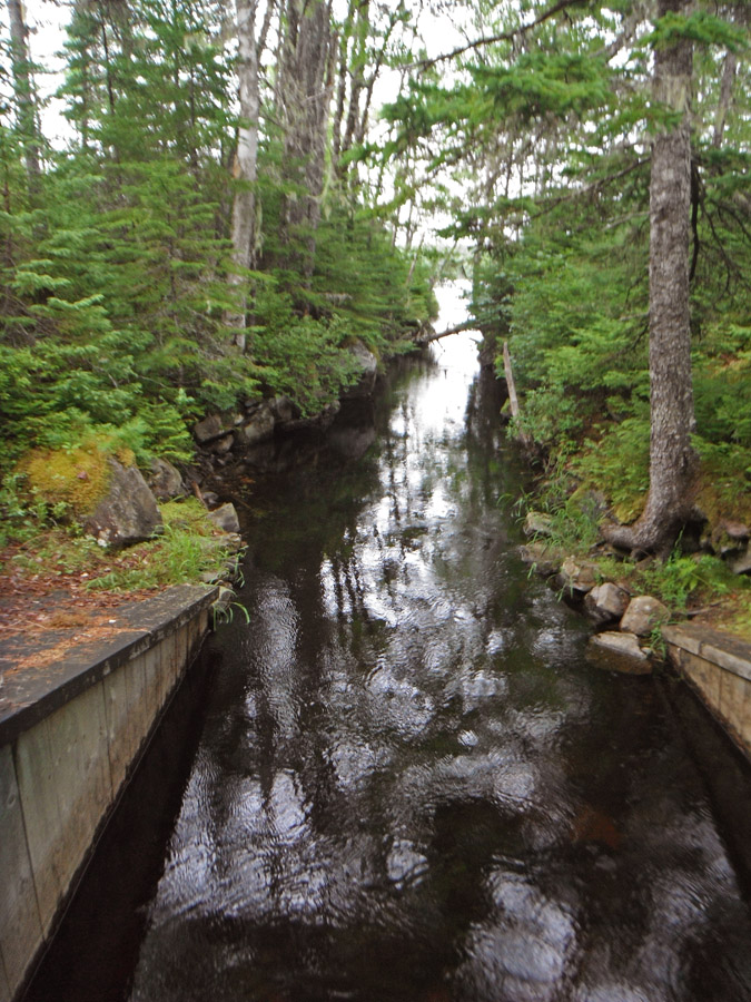
Unknown Brook
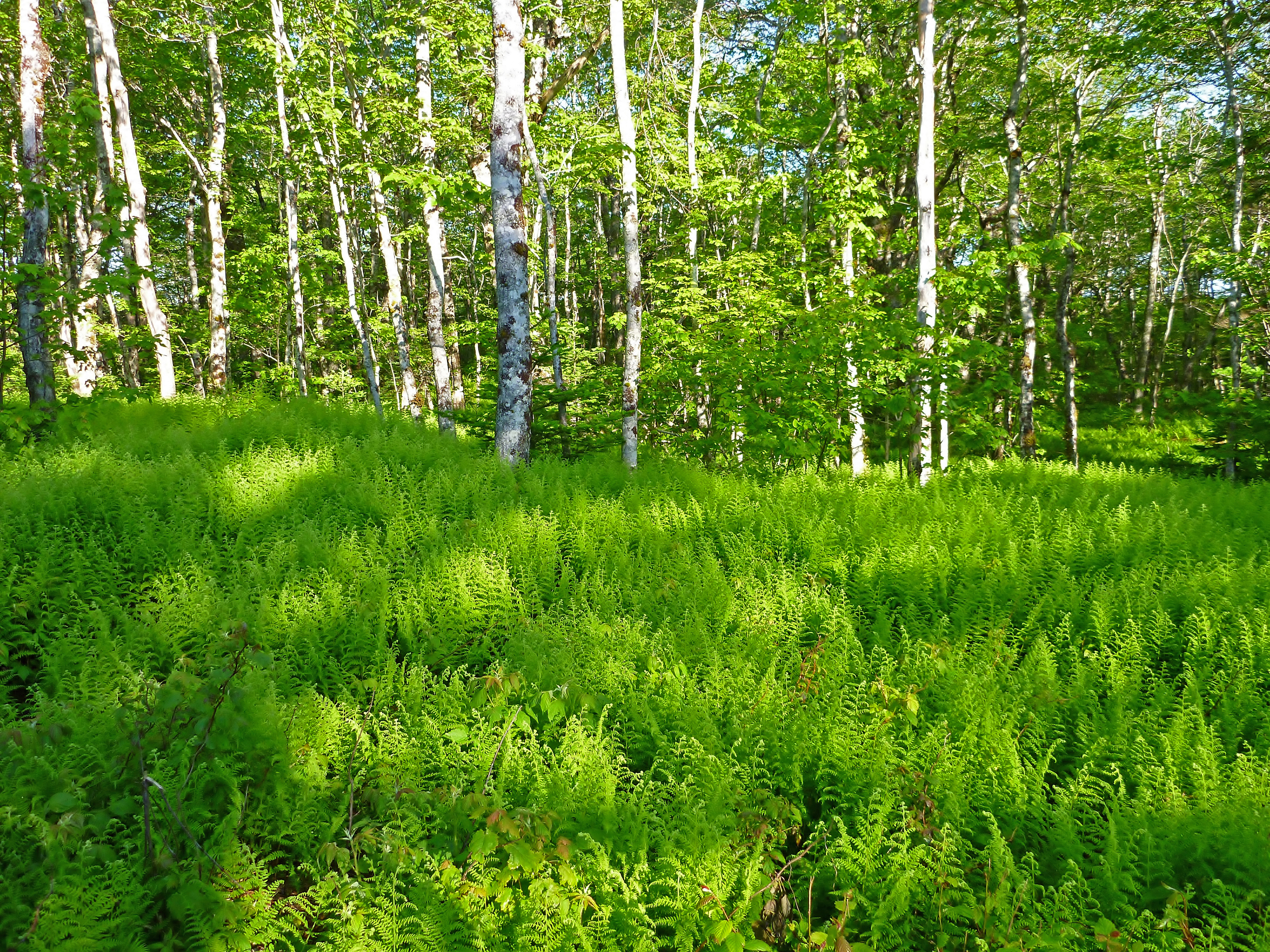
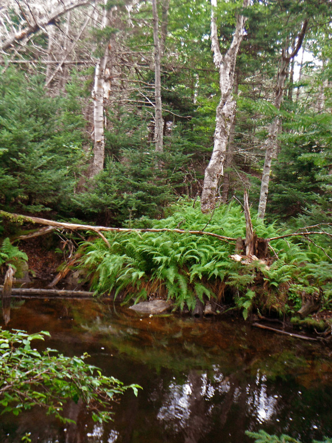
Early Morning Ferns and Burch (bull ridge lake road)
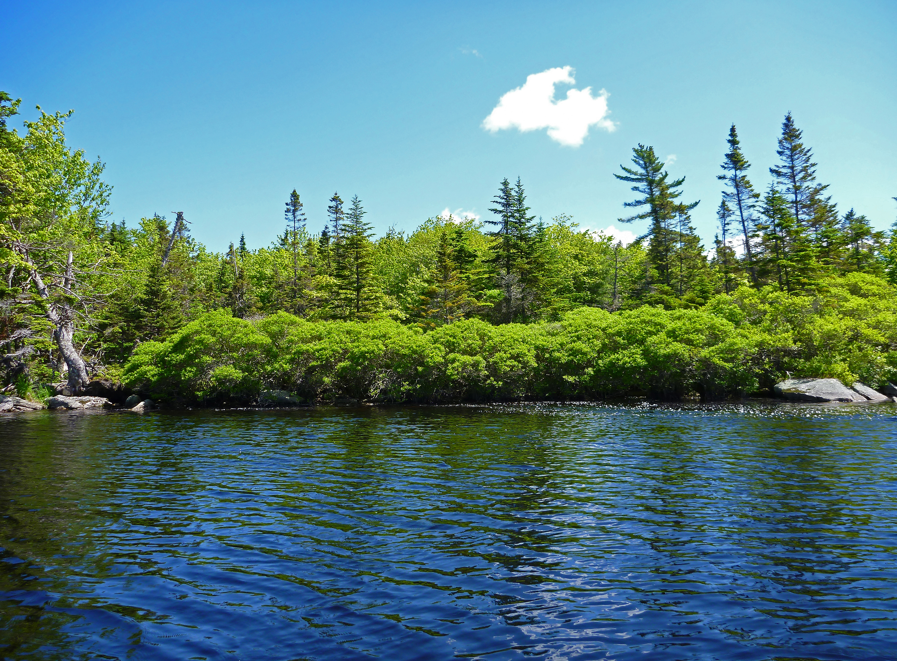
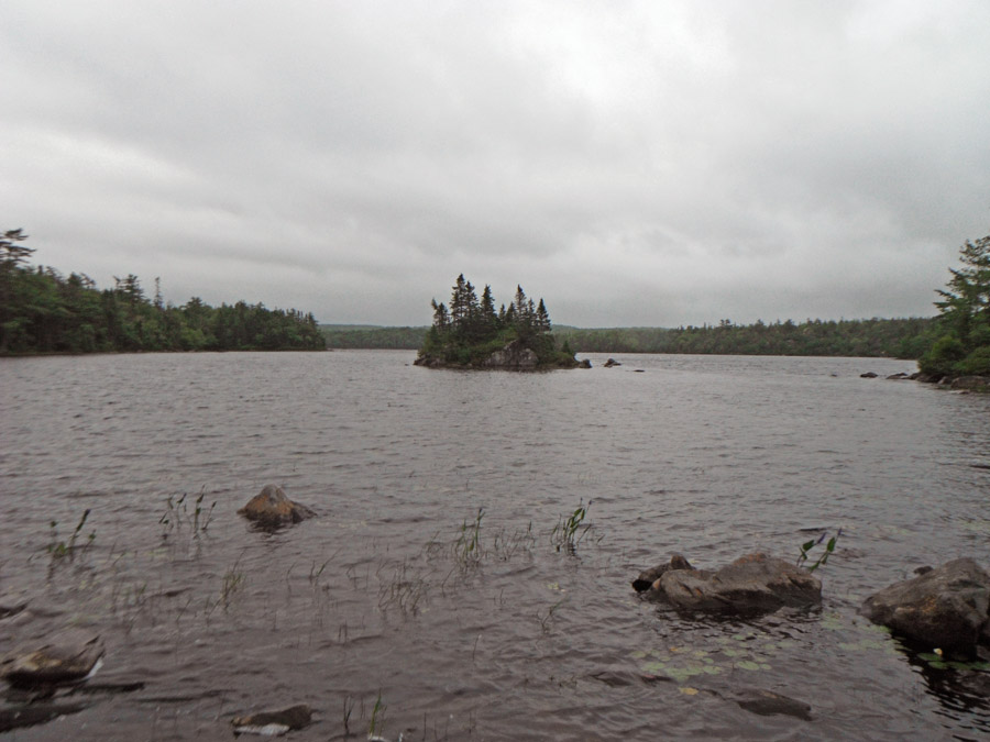
Bull Ridge Lake (brook running in)
Natural Perfection
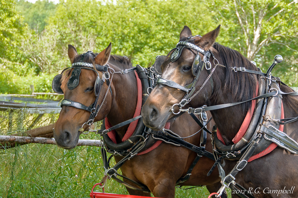
Horses at Sherbrooke Village - Nova Scotia-0474
Railroad to nowhere, nine mile rd, Country Harbour, Nova Scotia
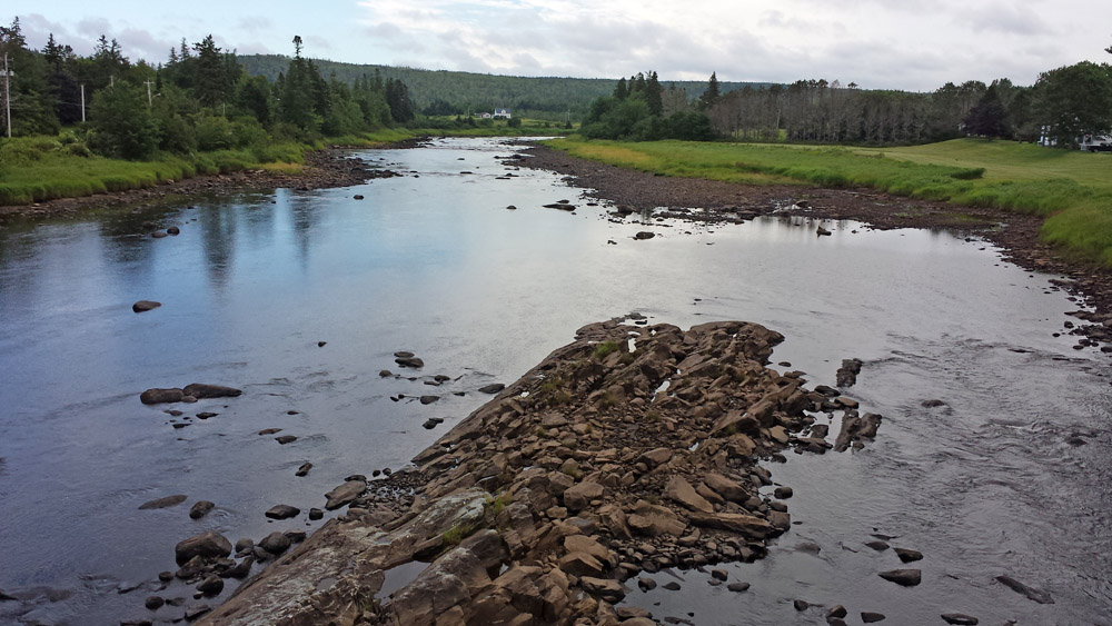
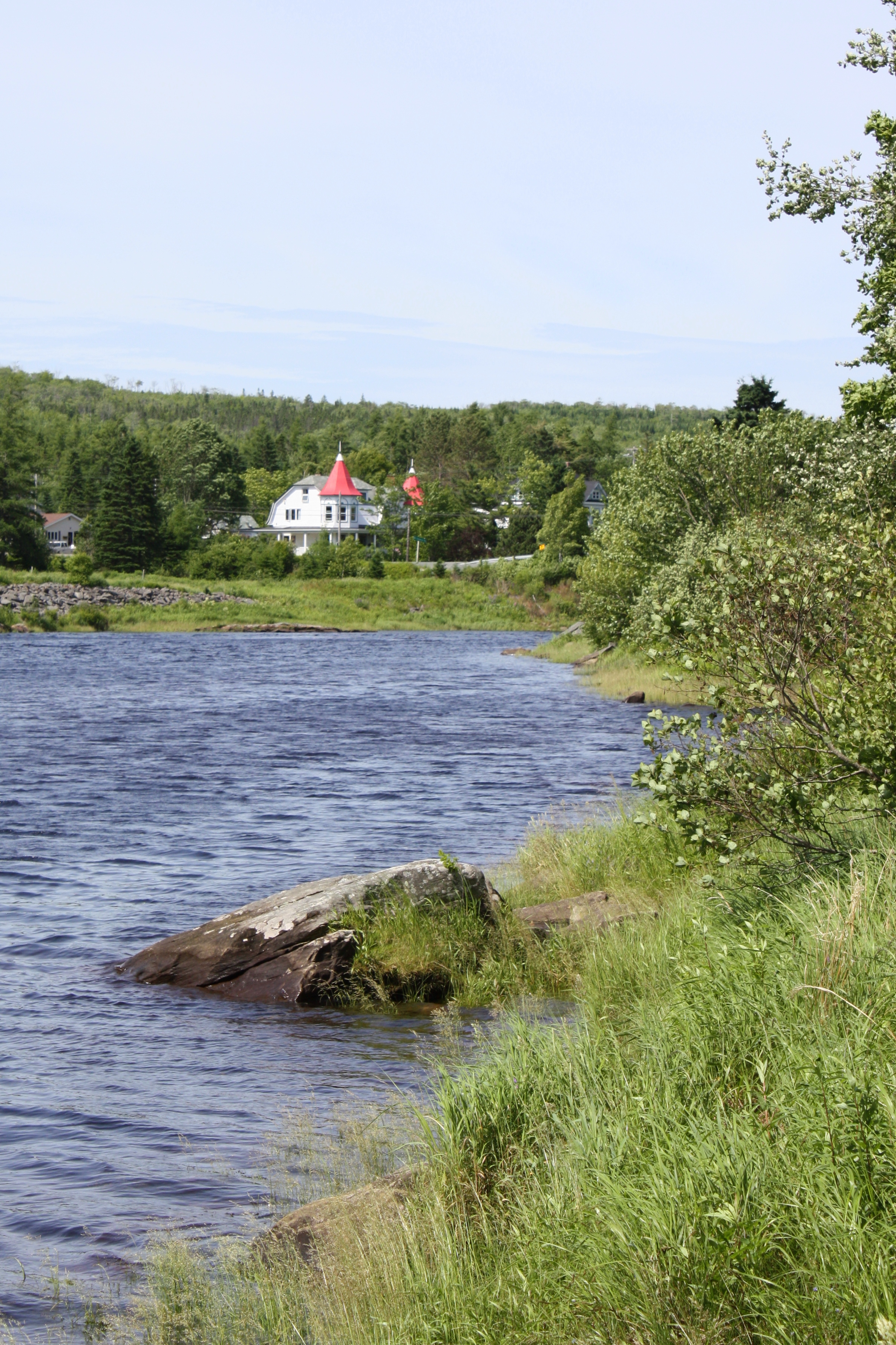
St Marys River from bridge
St Marys River from bridge
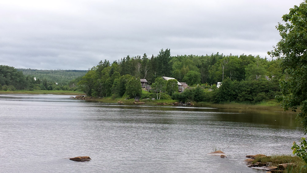
Sherbrooke Village Sawmill from our campground
Old Mill Trail
Old Mill Trail
Old Mill Trail
Topographic Map of Waternish Rd, Aspen, NS B0H 1E0, Canada
Find elevation by address:

Places near Waternish Rd, Aspen, NS B0H 1E0, Canada:
25 Ns-211
67 Ns-211
Sherbrooke
Glenelg
Aspen
Sonora
Liscomb
Baker Branch Road
Gegogan Rd, Sherbrooke, NS B0J 3C0, Canada
St. Mary's
1760 Ohio East Rd
1760 Ohio East Rd
Pinevale Rd, Antigonish, NS B2G 2L3, Canada
42 Pitchers Farm Rd
78 Pitchers Farm Rd
76 Pitchers Farm Rd
146 Pitchers Farm Rd
Ohio East Rd, Antigonish, NS B2G 2K8, Canada
Antigonish County
Keppoch Mountain
Recent Searches:
- Elevation of Corso Fratelli Cairoli, 35, Macerata MC, Italy
- Elevation of Tallevast Rd, Sarasota, FL, USA
- Elevation of 4th St E, Sonoma, CA, USA
- Elevation of Black Hollow Rd, Pennsdale, PA, USA
- Elevation of Oakland Ave, Williamsport, PA, USA
- Elevation of Pedrógão Grande, Portugal
- Elevation of Klee Dr, Martinsburg, WV, USA
- Elevation of Via Roma, Pieranica CR, Italy
- Elevation of Tavkvetili Mountain, Georgia
- Elevation of Hartfords Bluff Cir, Mt Pleasant, SC, USA