Elevation of Watarai District, Mie Prefecture, Japan
Location: Japan > Mie Prefecture >
Longitude: 136.493889
Latitude: 34.348889
Elevation: 238m / 781feet
Barometric Pressure: 98KPa
Elevation Map:
Satellite Map:
Related Photos:
View of "Camouflage" - Monday, 30 March 2015 - 14:53 GMT+0900

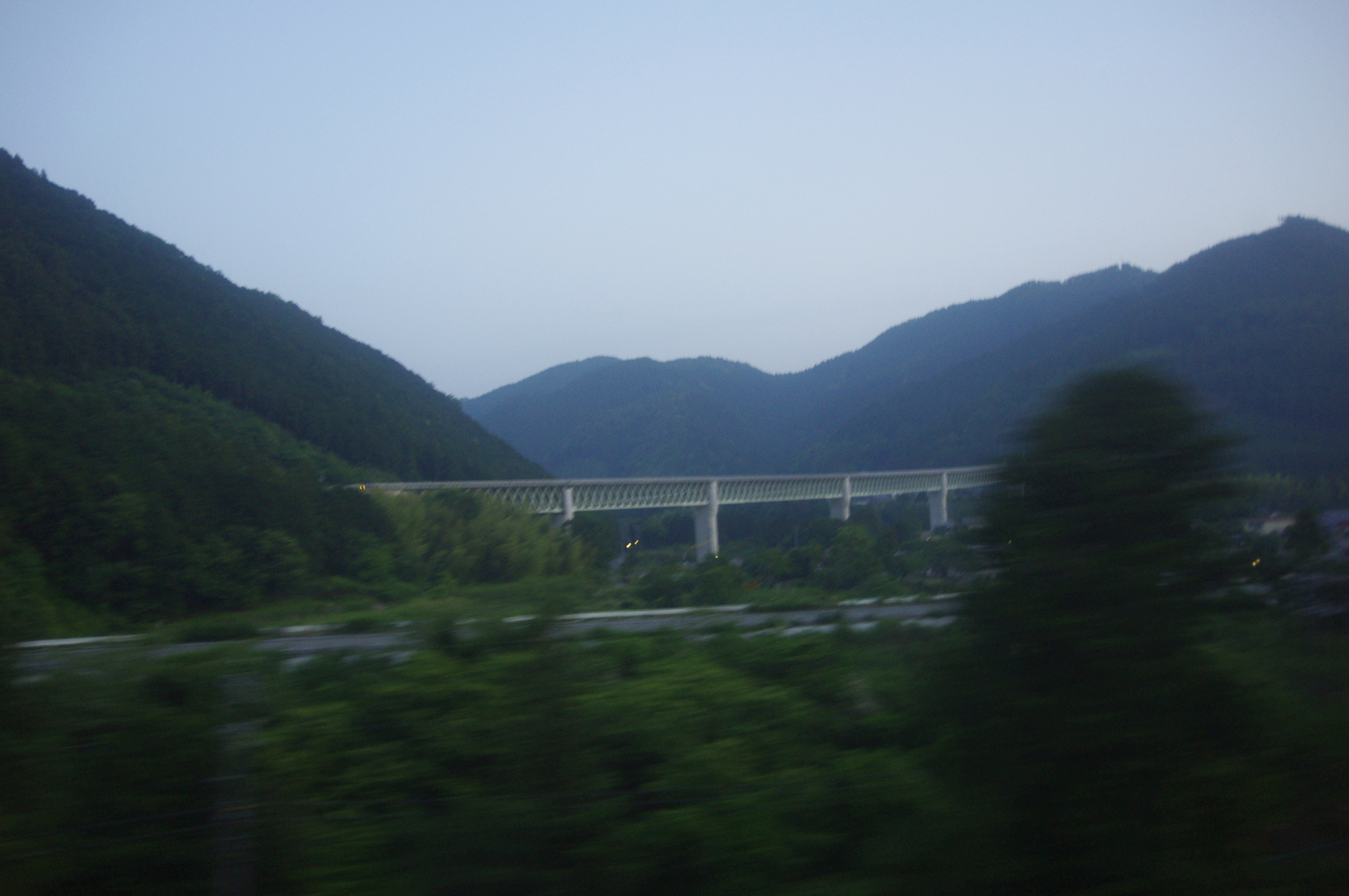
Kiseimiyagawa bridge (紀勢宮川橋)

_DSC6601.jpg

Kushida River
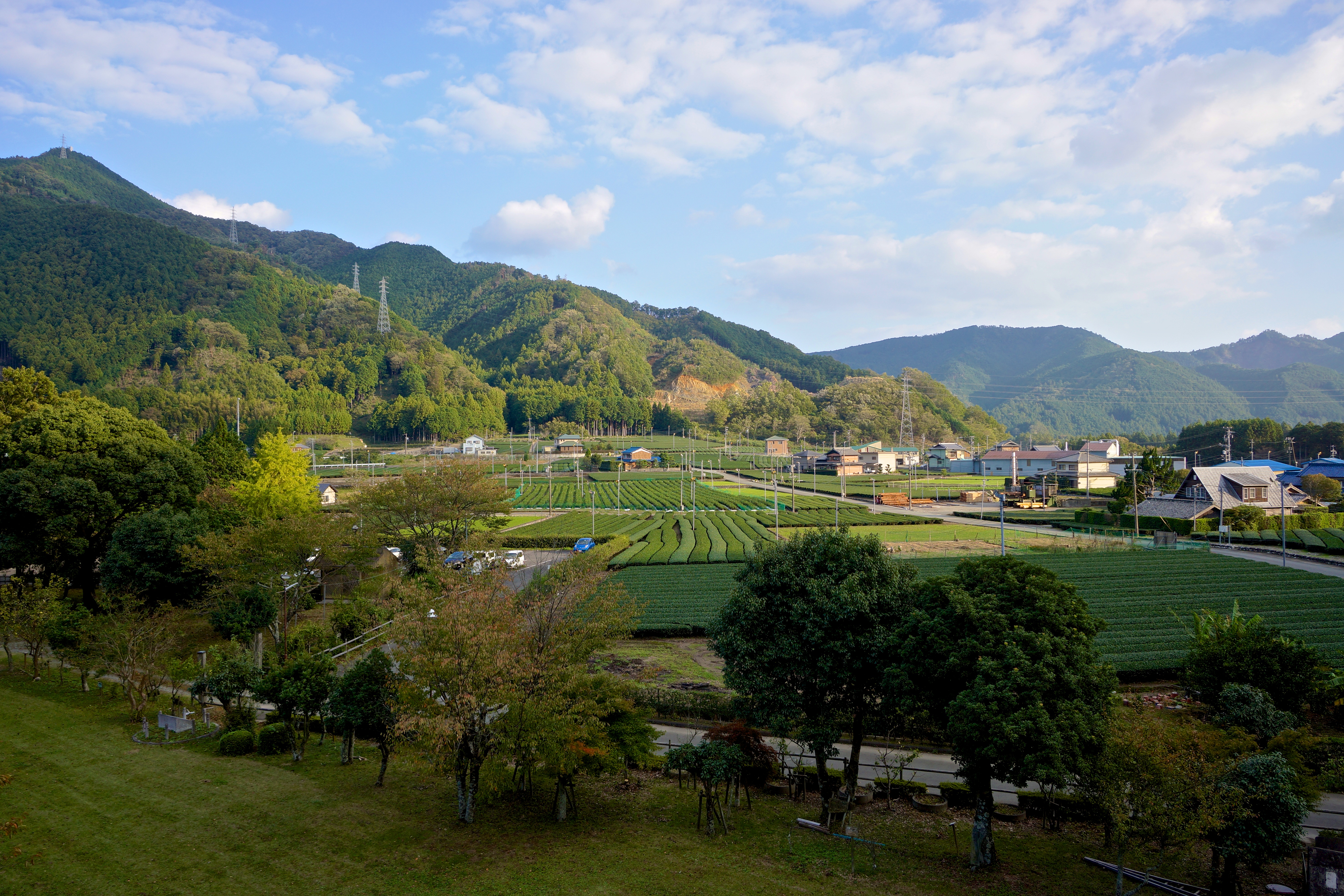
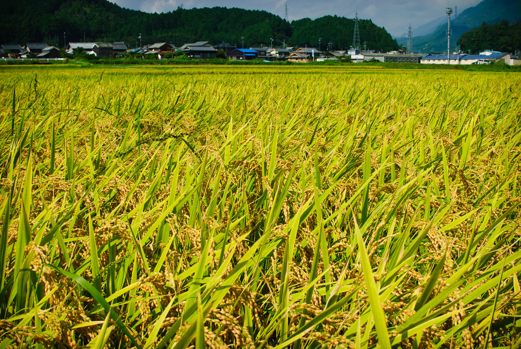
Mie Tea Fields
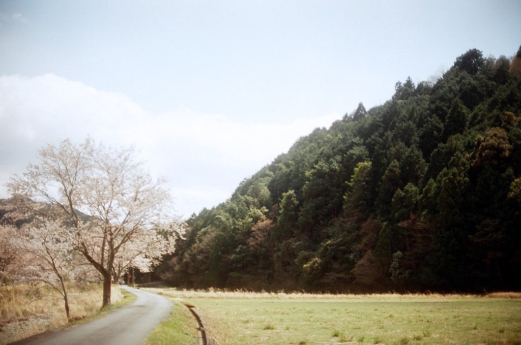
Cherry blossoms
高速道路

丸山千枚田
_DSC6496.jpg

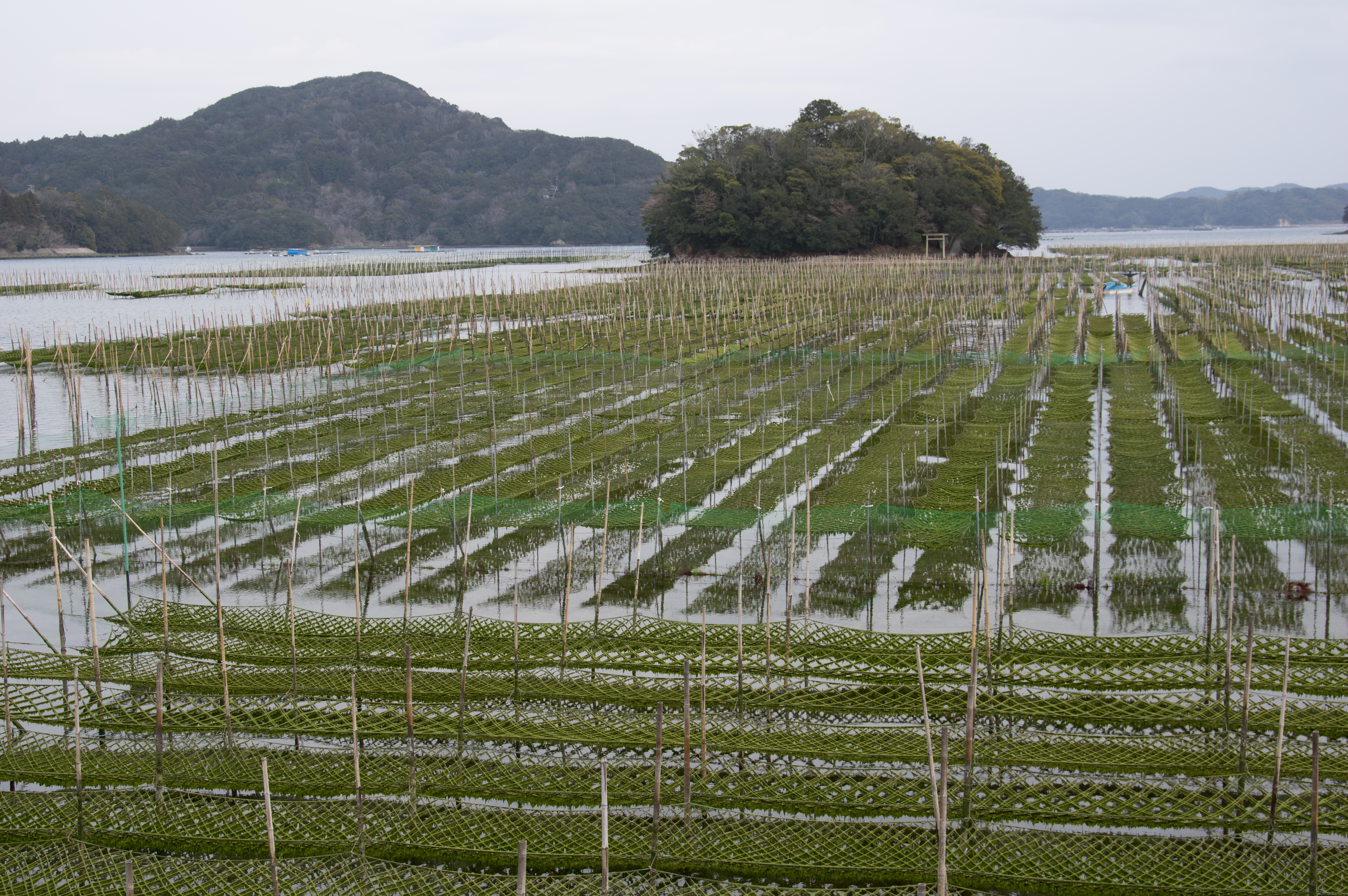
英虜湾の島々
K_3_1411.jpg
06.01.2012
Topographic Map of Watarai District, Mie Prefecture, Japan
Find elevation by address:

Places in Watarai District, Mie Prefecture, Japan:
Places near Watarai District, Mie Prefecture, Japan:
Taiki
Kamimise, Ōdai-chō, Taki-gun, Mie-ken -, Japan
Tashikaraura, Minamiise-chō, Watarai-gun, Mie-ken -, Japan
Kashiwano, Taiki-chō, Watarai-gun, Mie-ken -, Japan
Odai
Ogawa, Watarai-chō, Watarai-gun, Mie-ken -, Japan
19 Hase, Taki-chō, Taki-gun, Mie-ken -, Japan
Taki
Watarai
Katsuta, Tamaki-chō, Watarai-gun, Mie-ken -, Japan
Tamaki
-9 Tasoura, Minamiise-chō, Watarai-gun, Mie-ken -, Japan
Minamiise
Kirihara, Minamiise-chō, Watarai-gun, Mie-ken -, Japan
41-8 Kushidachō, Matsusaka-shi, Mie-ken -, Japan
1 Chome-32 Kasugachō, Matsusaka-shi, Mie-ken -, Japan
Matsusaka
Meiwa
Ishizuchō, Matsusaka-shi, Mie-ken -, Japan
-2 Umanoue, Meiwa-chō, Taki-gun, Mie-ken -, Japan
Recent Searches:
- Elevation of East W.T. Harris Boulevard, E W.T. Harris Blvd, Charlotte, NC, USA
- Elevation of West Sugar Creek, Charlotte, NC, USA
- Elevation of Wayland, NY, USA
- Elevation of Steadfast Ct, Daphne, AL, USA
- Elevation of Lagasgasan, X+CQH, Tiaong, Quezon, Philippines
- Elevation of Rojo Ct, Atascadero, CA, USA
- Elevation of Flagstaff Drive, Flagstaff Dr, North Carolina, USA
- Elevation of Avery Ln, Lakeland, FL, USA
- Elevation of Woolwine, VA, USA
- Elevation of Lumagwas Diversified Farmers Multi-Purpose Cooperative, Lumagwas, Adtuyon, RV32+MH7, Pangantucan, Bukidnon, Philippines