Elevation of Washingtonville, PA, USA
Location: United States > Pennsylvania > Montour County >
Longitude: -76.674679
Latitude: 41.0517525
Elevation: 166m / 545feet
Barometric Pressure: 99KPa
Elevation Map:
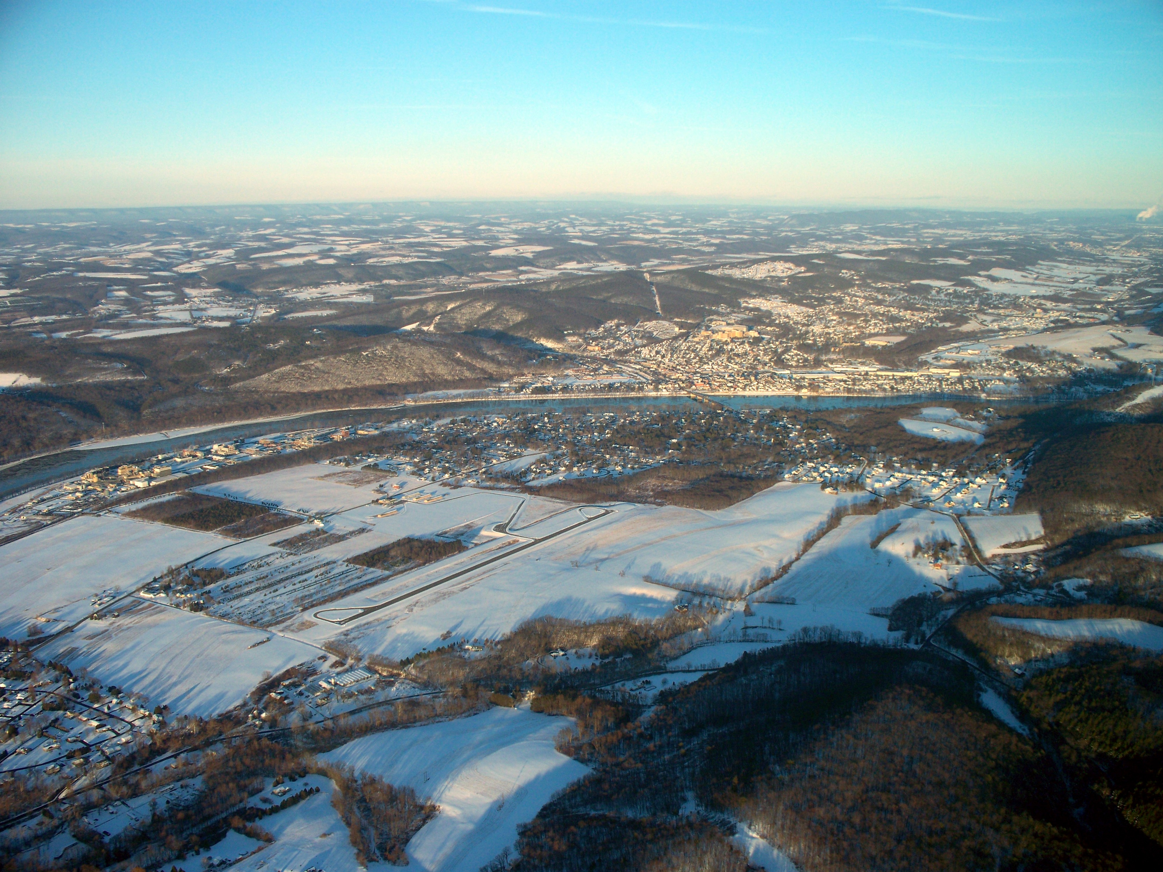
Satellite Map:
Related Photos:

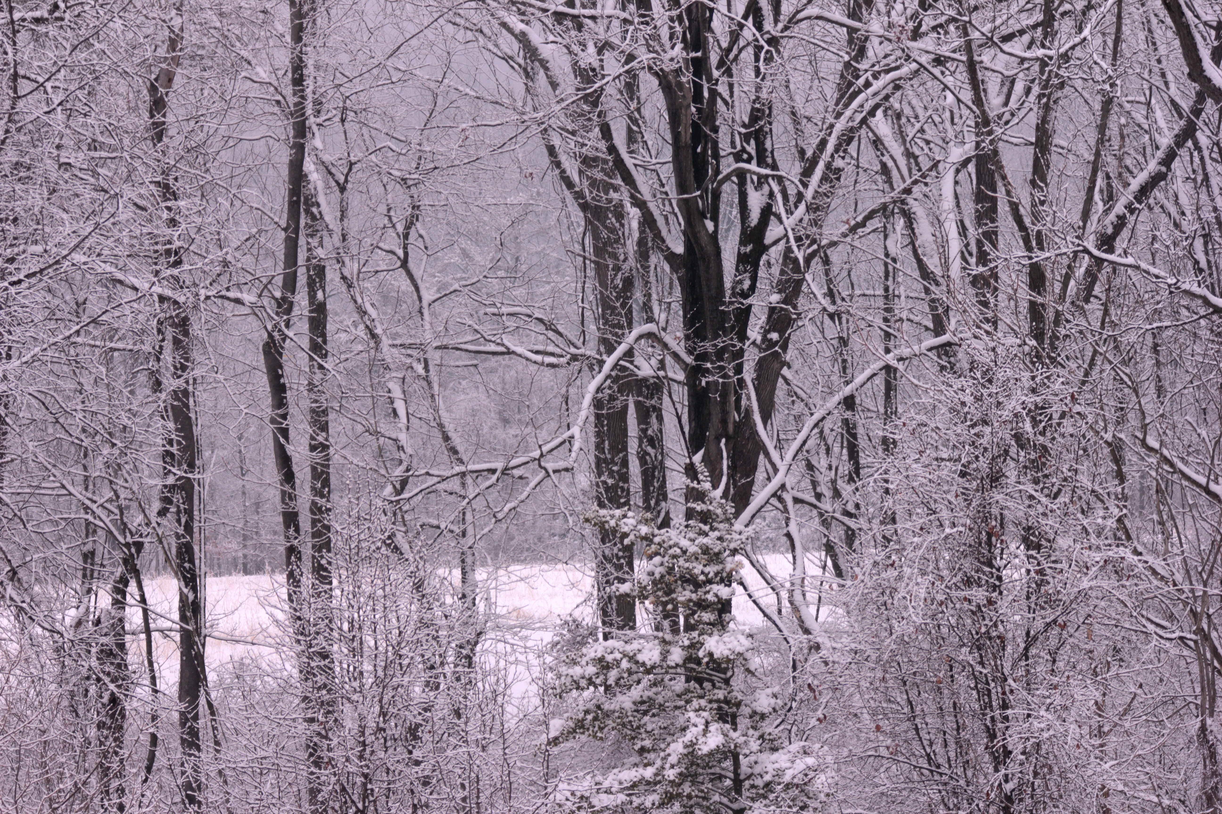
Lurking in a tree near feeders on a snowy morning

Downy Woodpecker
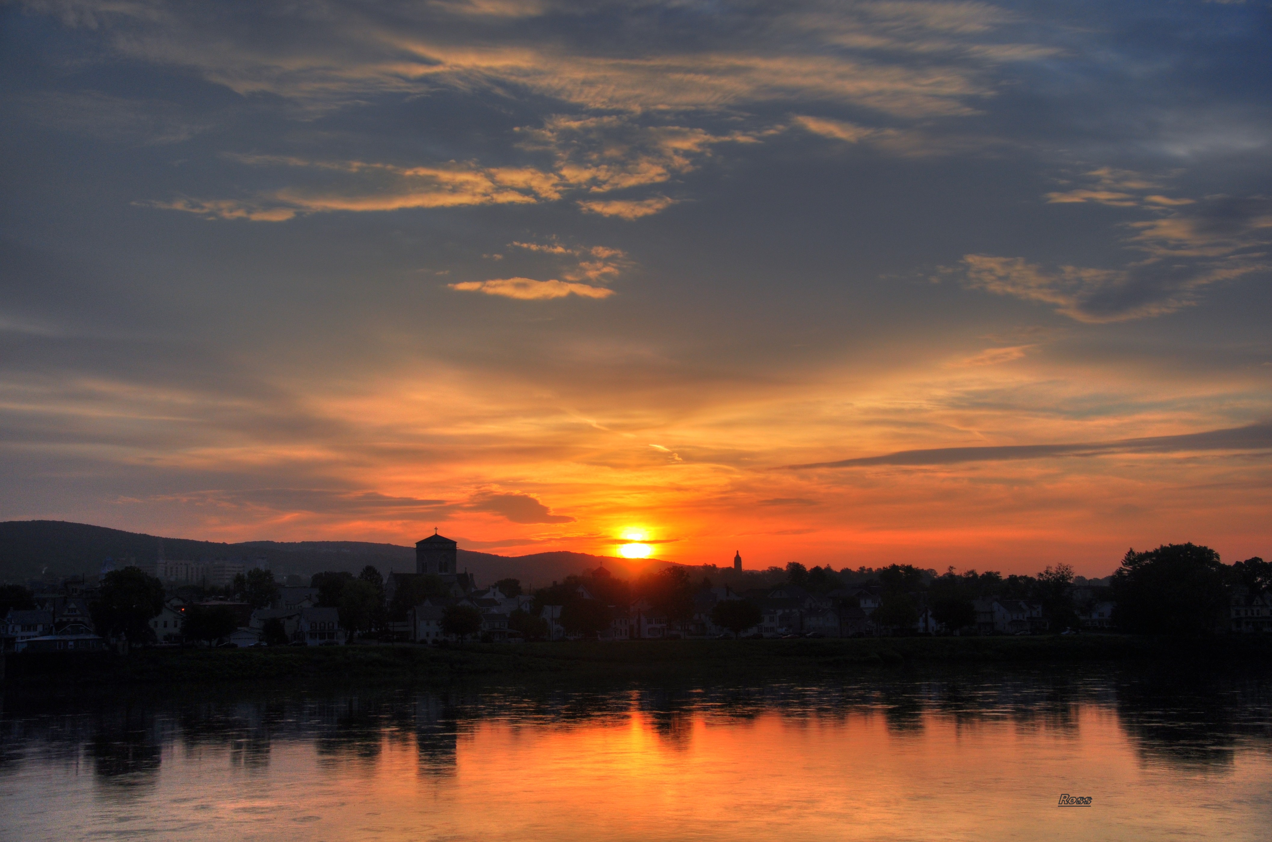
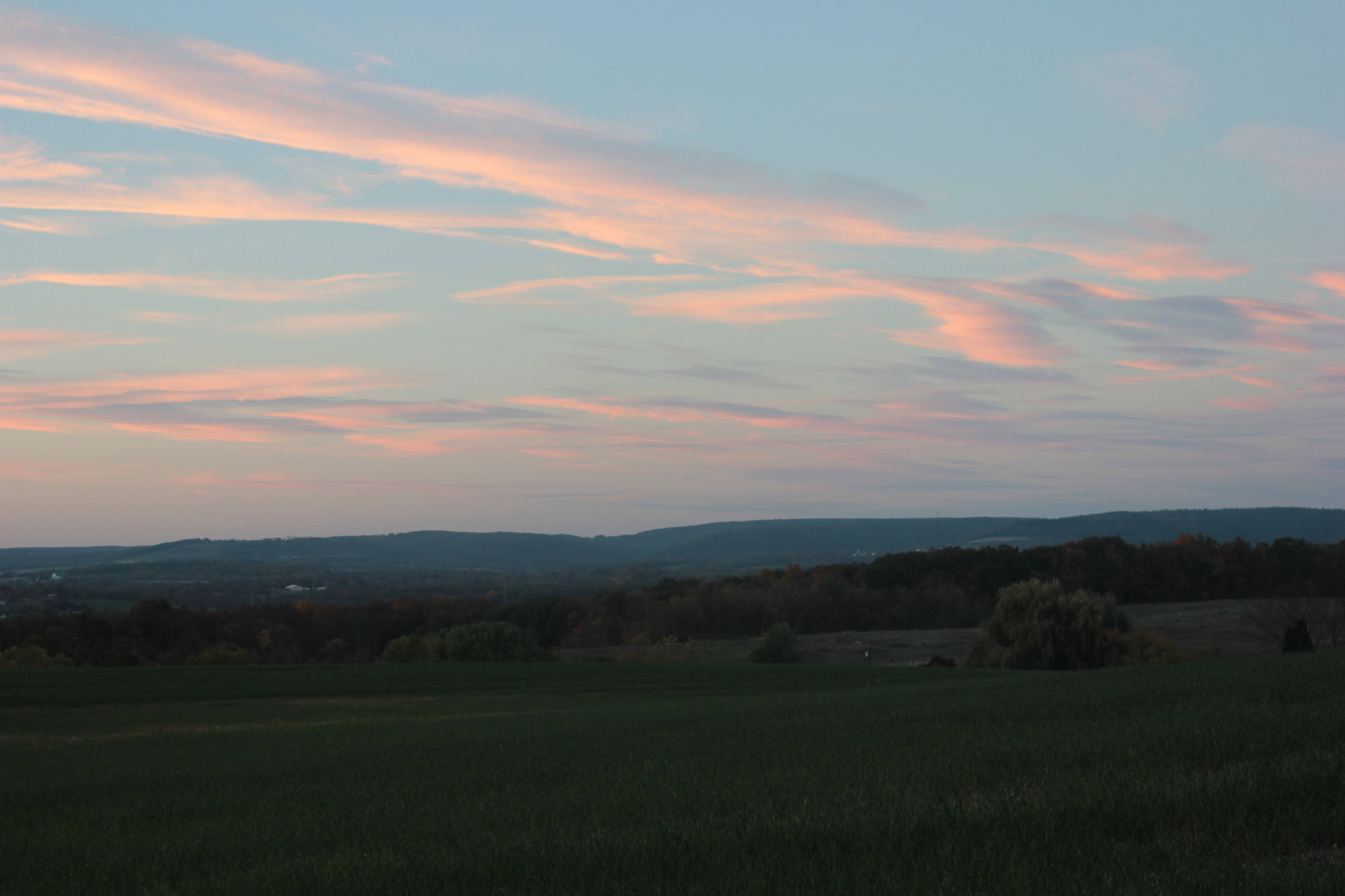
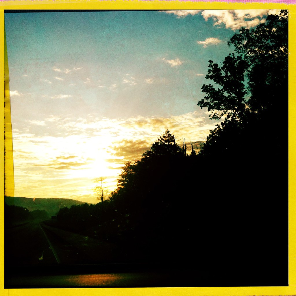
Tinted Sky

Danville Mural
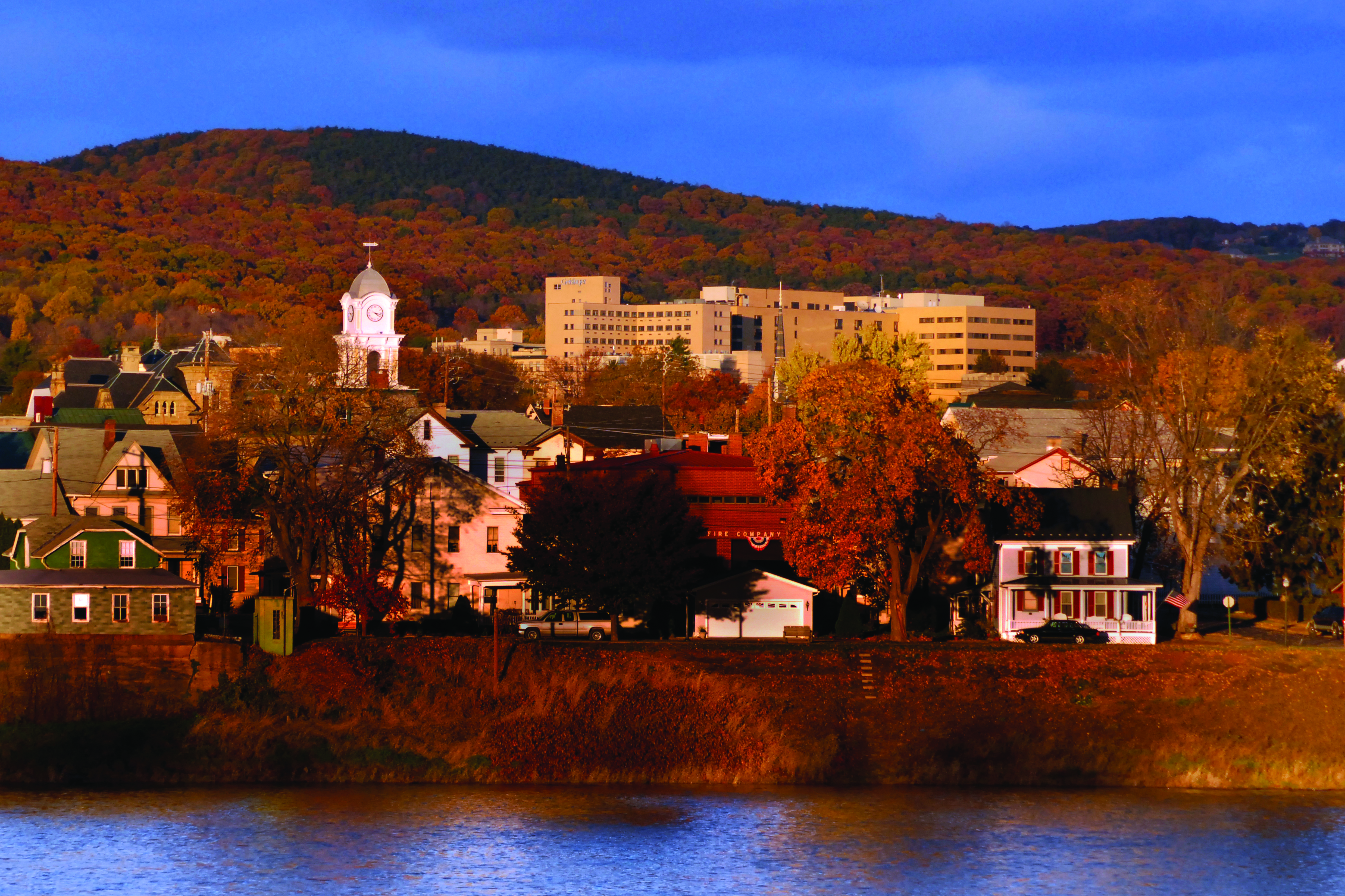
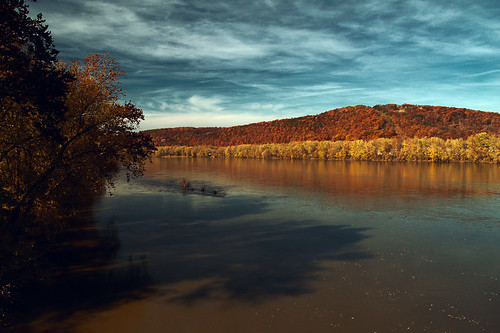
Danville in the Fall
Cloud Texture

Powernap on a sunny limb

Snow Geese Migration II

What barriers? (view large)

Loved this view. Reminded me of where I grew up. #Cloudspotting #cloudsoftheday #sky_scapes #vscocam #vsco #landscape #cloudscape #millville #country

State Game Land 325 (Revisited) (9)
Fleeting beauty
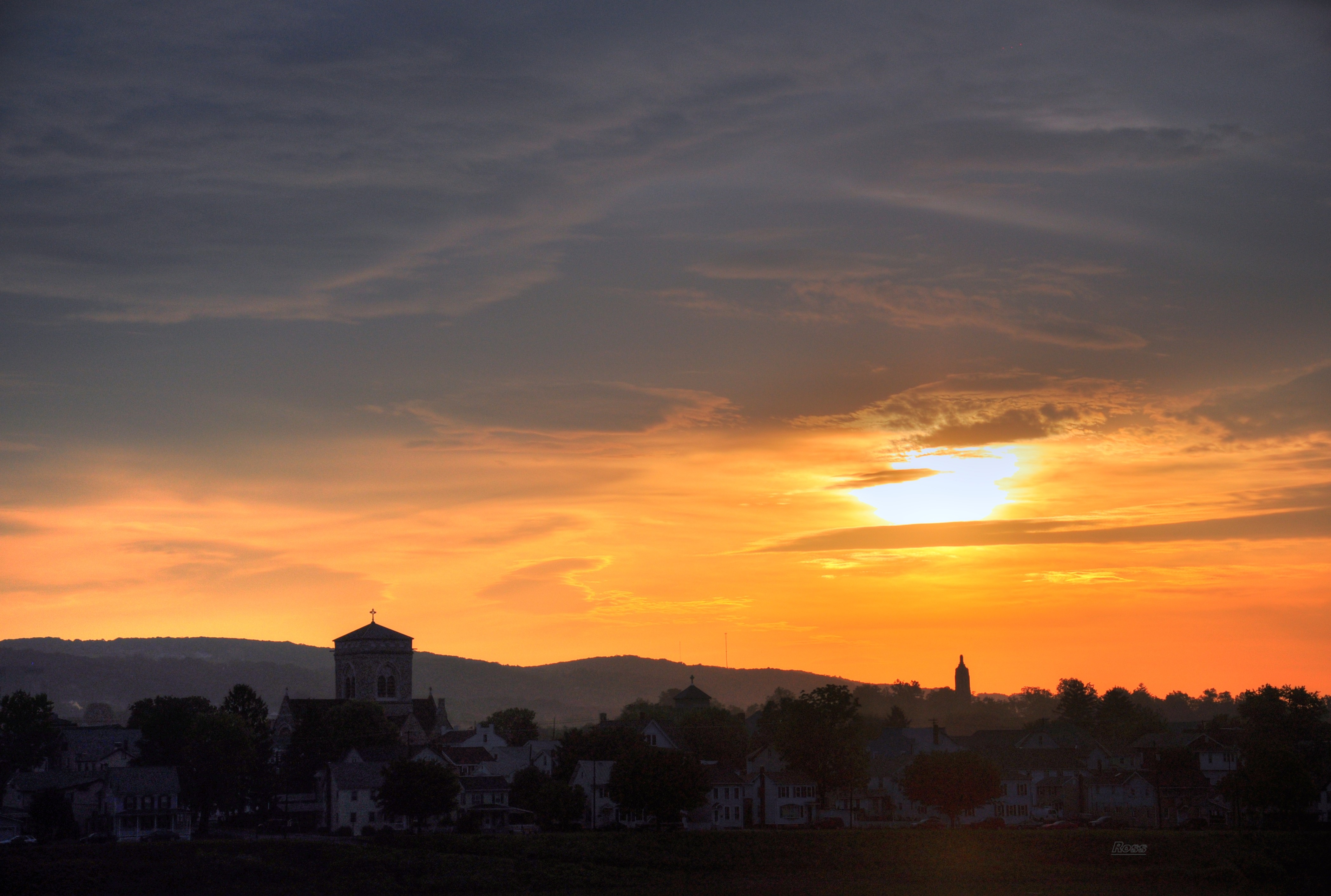
Evening sky
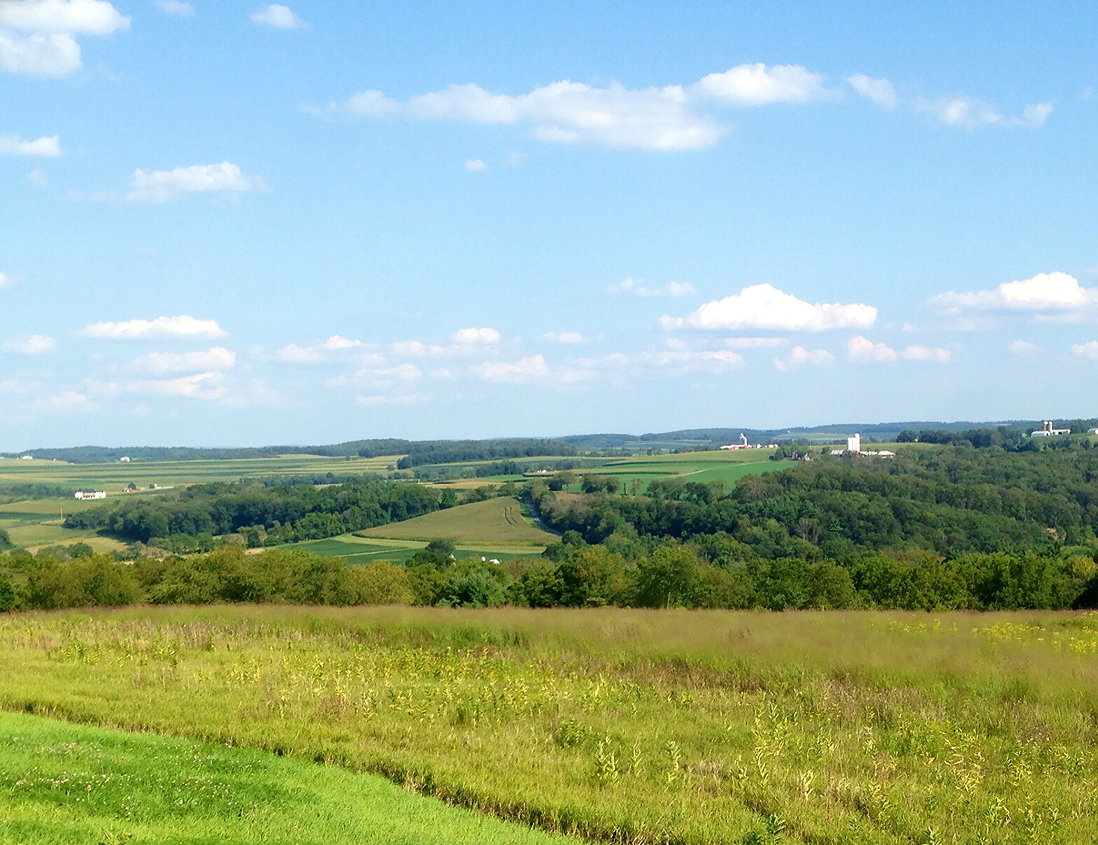
Scenic overlook

Iron Heritage Festival - 20120721-113357.jpg

20120501-185445

20120501-185347
20101123-180311

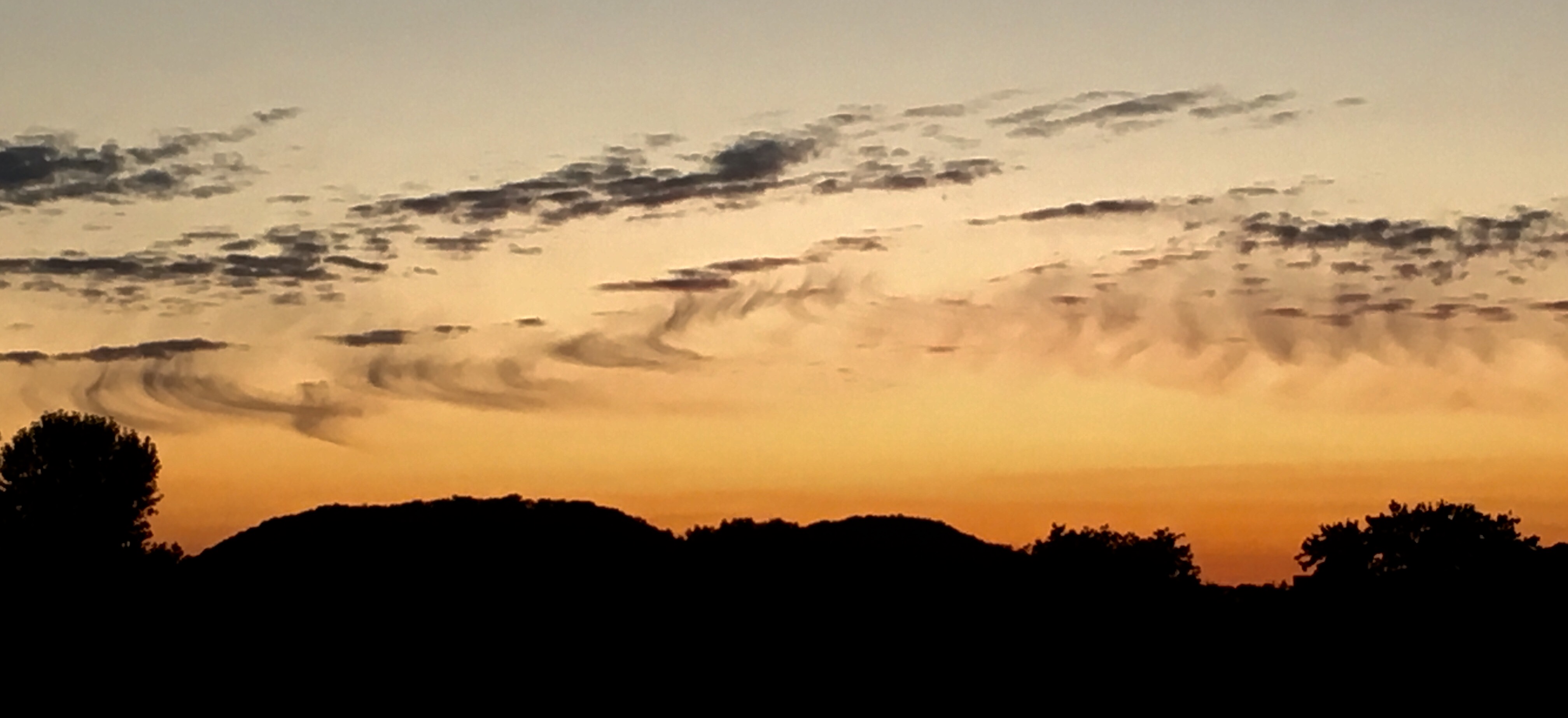
November Sunset
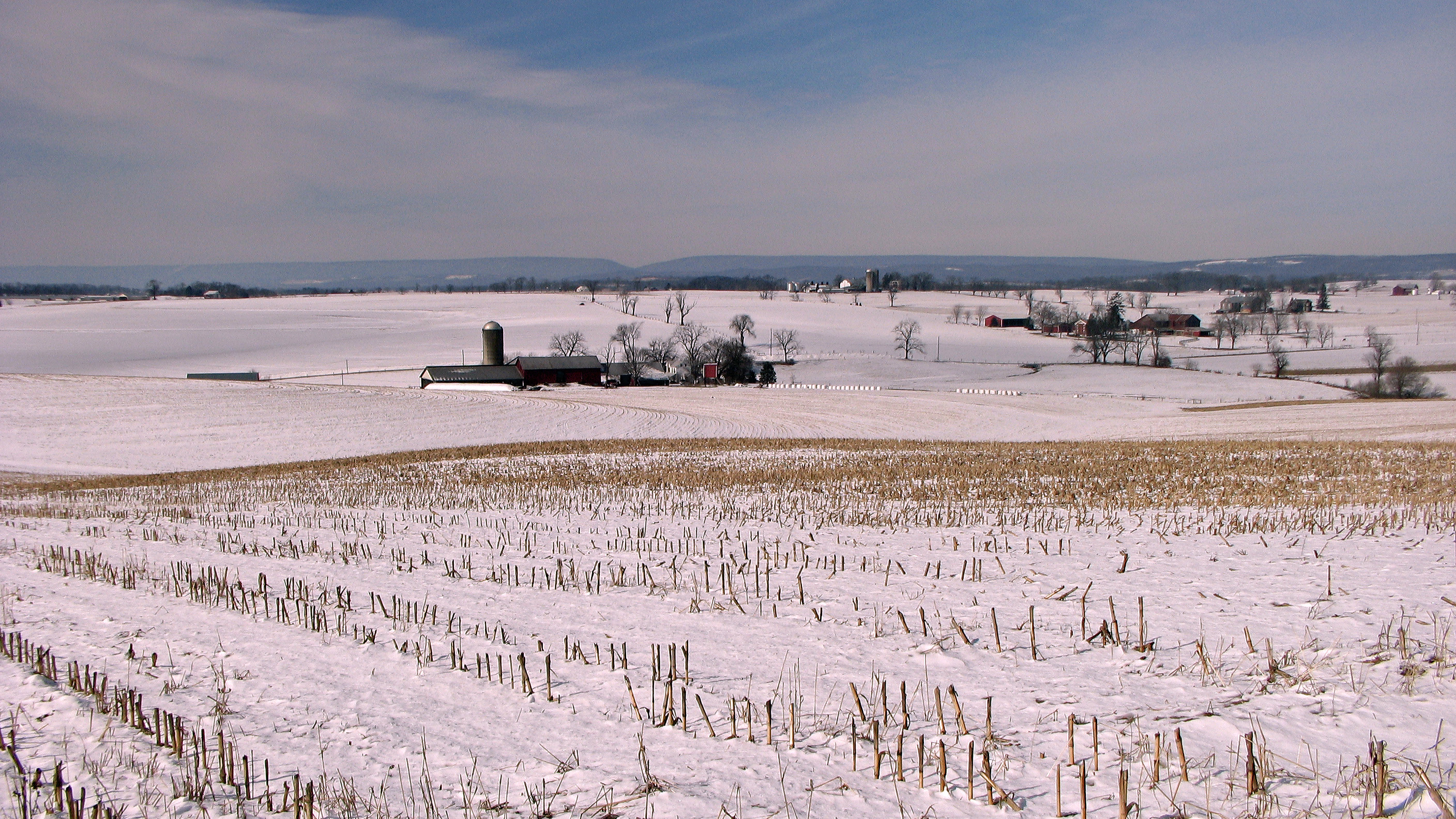
Winter fields and farms

line wire down wat brick 1
Misty Colors
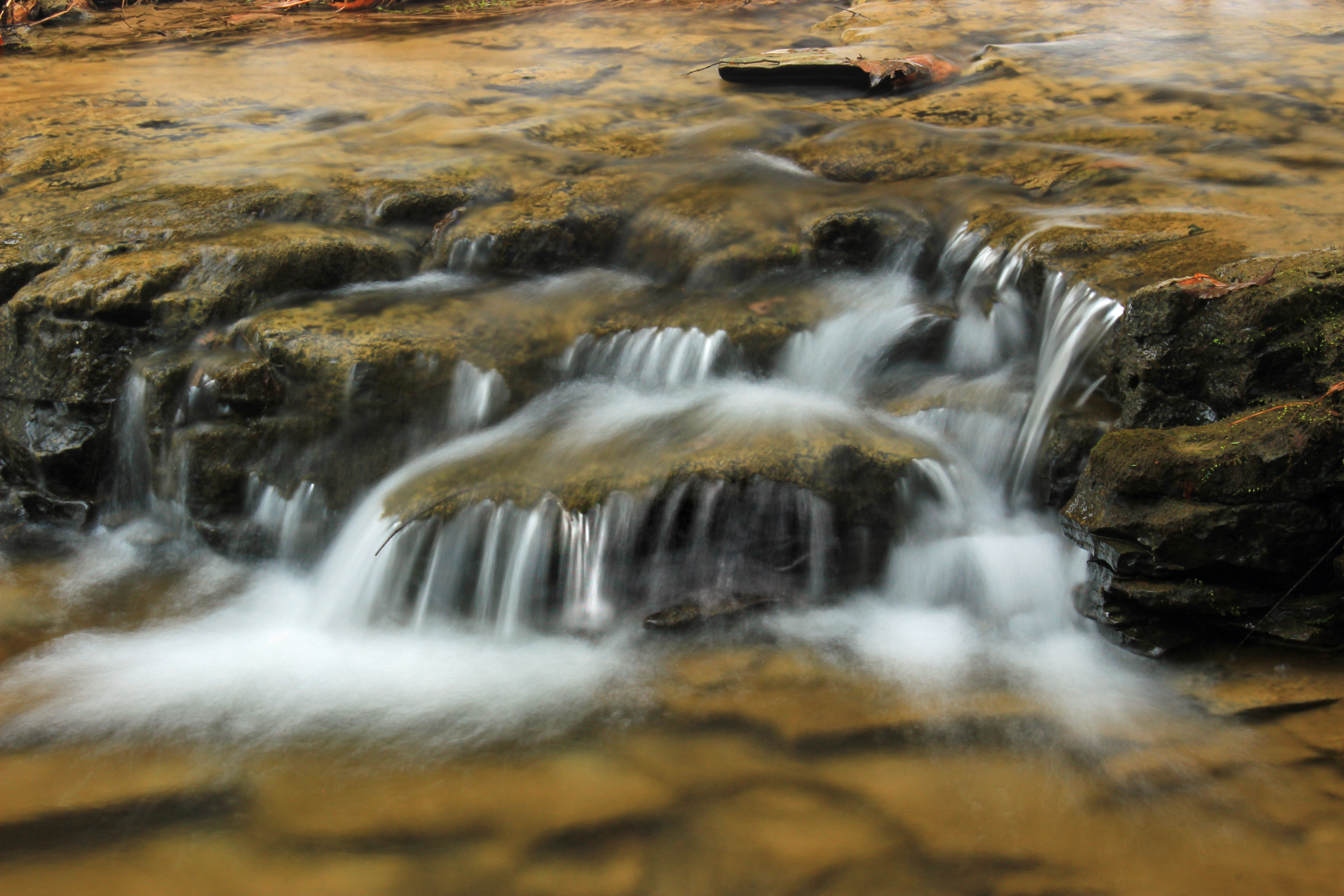
Glade Run (1)

Pennsylvania 08.17.08 15.26 DSC_3321

Landscape_081813_LR-44.jpg
On the road to Bethlehem

#nolabucknell test iPad
Danville, Pa

Late bloomer
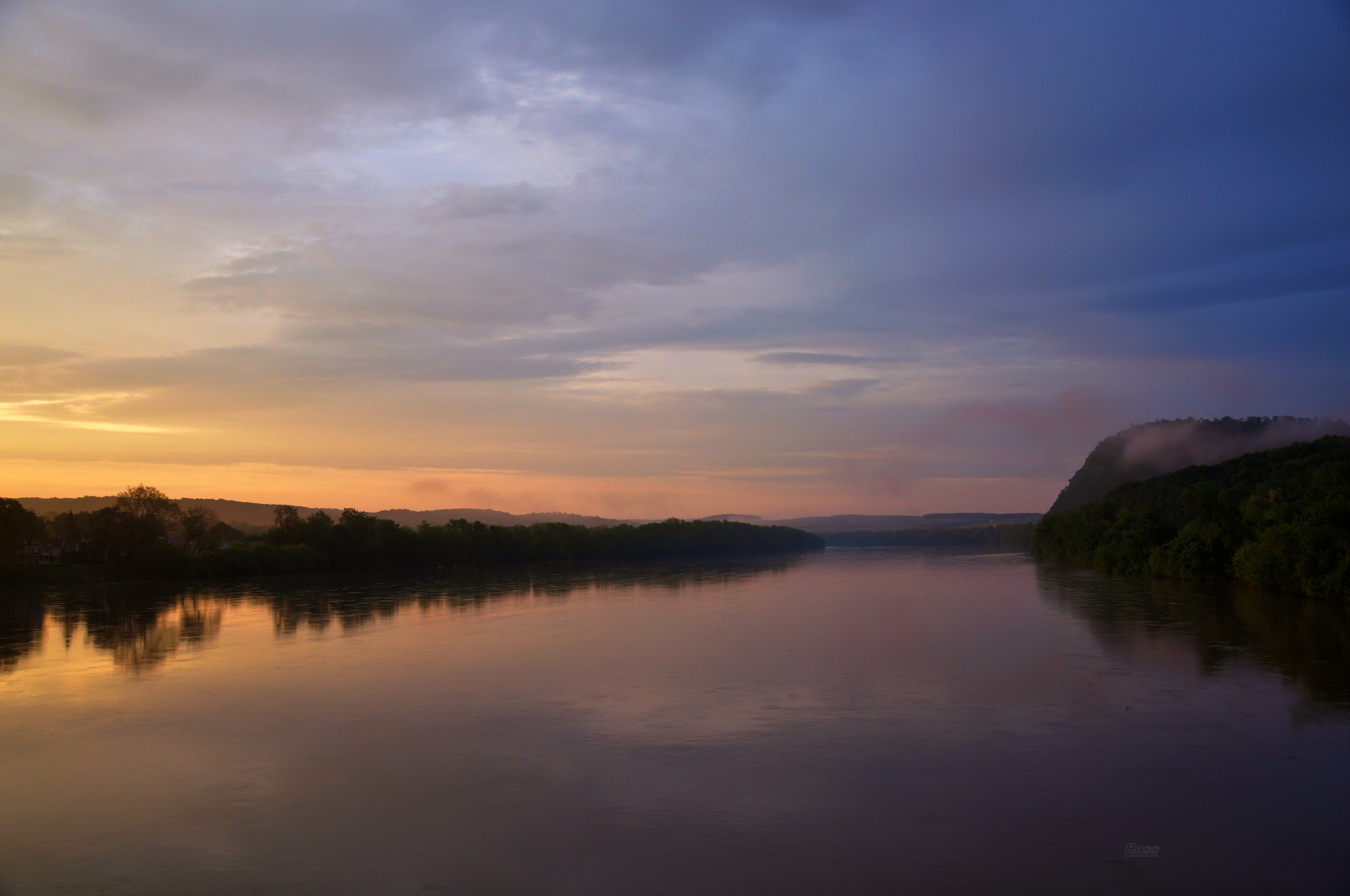
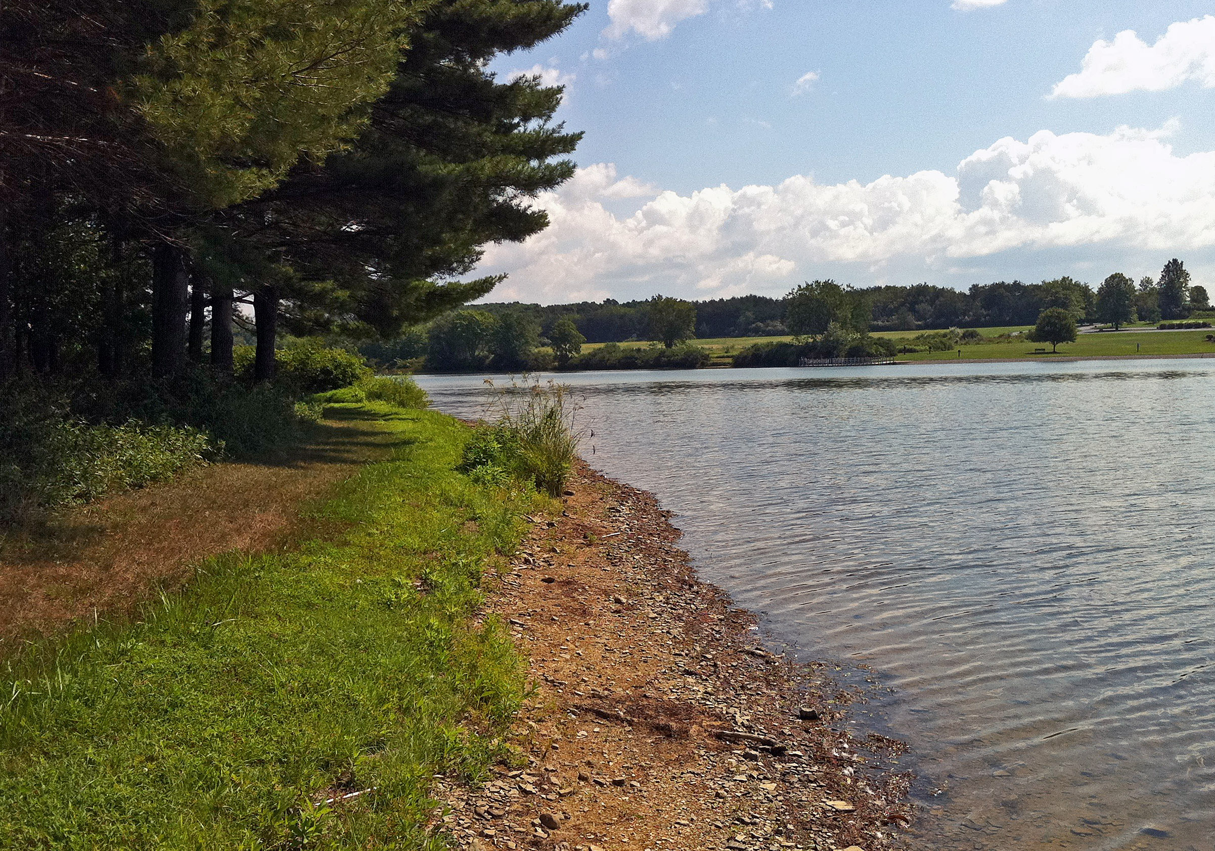
Susquehanna at Riverside

Jakey Hollow Natural Area (Revisit) (27)

Danville PA

On the road.
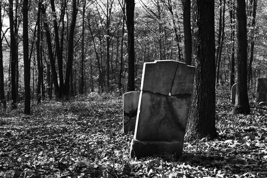
Sidler Hill Cemetery
Unusual wispy cloud sky pattern
2010 PA Vacation-55_edited-1
2010 PA Vacation-45_edited-1
Topographic Map of Washingtonville, PA, USA
Find elevation by address:

Places near Washingtonville, PA, USA:
United States Gypsum Company
Derry Township
Montour County
37 Valley W Rd
Liberty Township
Liberty Valley Rd, Danville, PA, USA
Turbotville
15 Camp Rd
Lewis Township
15 Diehl Rd, Milton, PA, USA
East Chillisquaque Township
Delaware Township
Milton
18 N Arch St
184 E 1st St
Watsontown
New Columbia
414 Elm St
621 Elm St
PA-45, Milton, PA, USA
Recent Searches:
- Elevation of Lampiasi St, Sarasota, FL, USA
- Elevation of Elwyn Dr, Roanoke Rapids, NC, USA
- Elevation of Congressional Dr, Stevensville, MD, USA
- Elevation of Bellview Rd, McLean, VA, USA
- Elevation of Stage Island Rd, Chatham, MA, USA
- Elevation of Shibuya Scramble Crossing, 21 Udagawacho, Shibuya City, Tokyo -, Japan
- Elevation of Jadagoniai, Kaunas District Municipality, Lithuania
- Elevation of Pagonija rock, Kranto 7-oji g. 8"N, Kaunas, Lithuania
- Elevation of Co Rd 87, Jamestown, CO, USA
- Elevation of Tenjo, Cundinamarca, Colombia