Elevation of Washington Valley Rd, Springville, AL, USA
Location: United States > Alabama > St. Clair County > Springville >
Longitude: -86.392999
Latitude: 33.8221676
Elevation: 204m / 669feet
Barometric Pressure: 99KPa
Elevation Map:
Satellite Map:
Related Photos:

You Put It On Wrong.
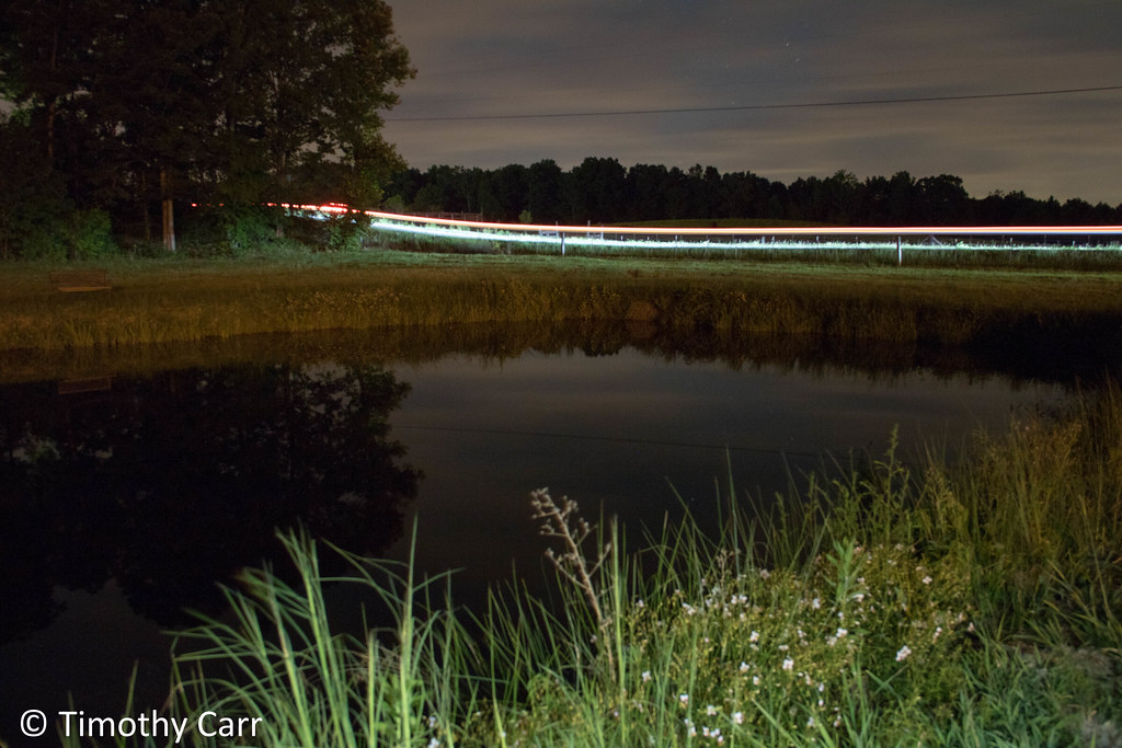
Nighttime by the Spring Pond

Milky Way

3 is a crowd.

The Net Has Somewhat Decayed.

Playing Doubles.

Horse Pens 40 Scenic Overlook / P1982-0905A037-29

U.S. Highway 231 & Blount Mountain / P1982-0905A037-19

Play With Me.

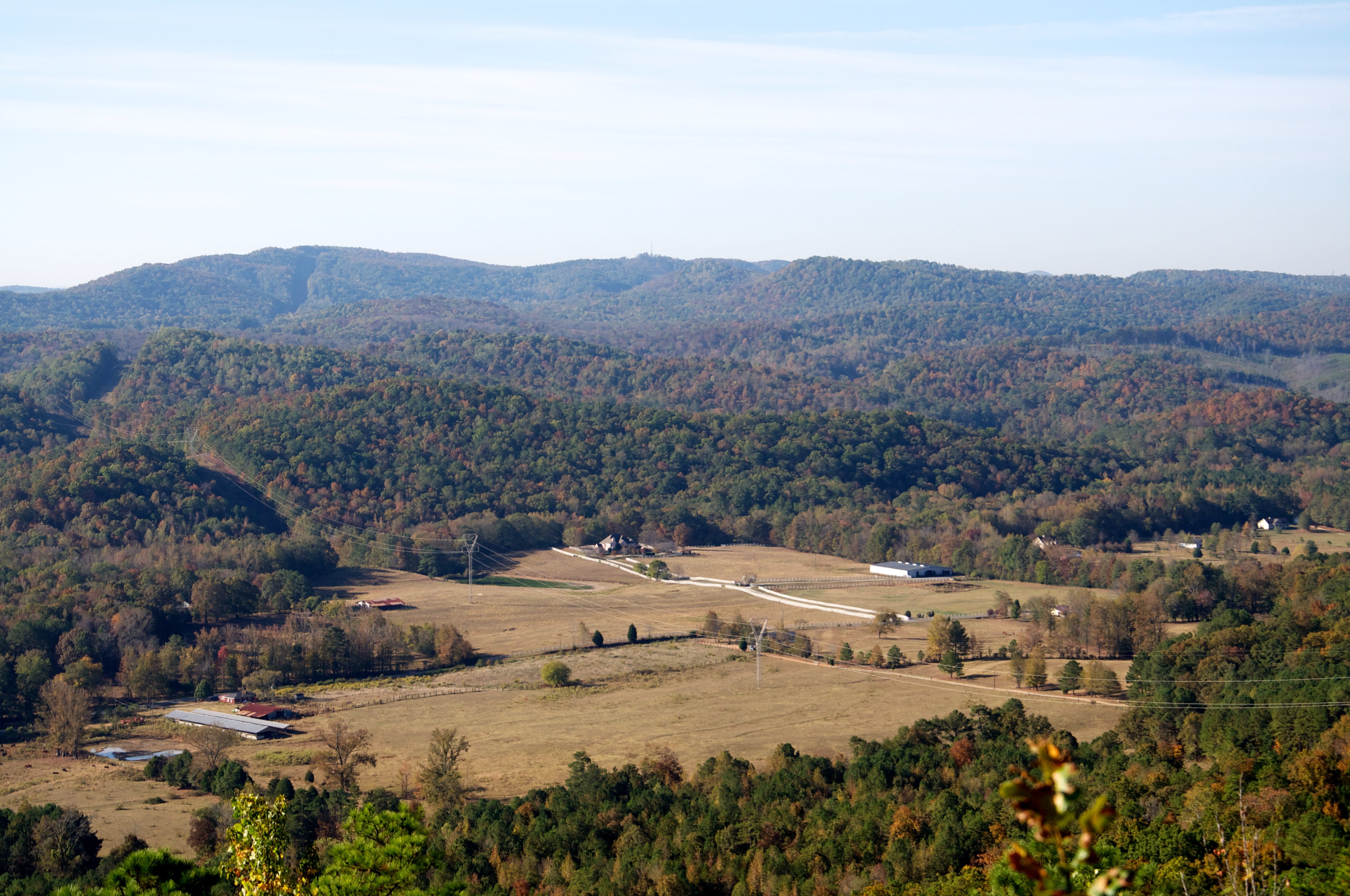
Autumn Beauty

Flossy Falls

Flossy Falls

Spring run, tributary of Big Canoe Creek, St. Clair Co., Alabama

Eurycea cirrigera egg mass, Big Canoe Creek Tributary, St. Clair Co., Alabama

Cole Property, Big Canoe Creek Tributary, St. Clair Co., AL

Cole Property, Big Canoe Creek Tributary, St. Clair Co., AL
Murphaee Valley Rd

IMG_0503.JPG

Murphaee Valley Rd
Topographic Map of Washington Valley Rd, Springville, AL, USA
Find elevation by address:

Places near Washington Valley Rd, Springville, AL, USA:
St Clair County 31, Springville, AL, USA
Co Rd 31, Springville, AL, USA
County Hwy 29, Oneonta, AL, USA
2533 Al-23
AL-23, Ashville, AL, USA
Lakeshore Dr, Oneonta, AL, USA
75 Village Springs Cove
Springville
2309 Reneau Rd
726 Doss Ln
90 Main St, Steele, AL, USA
Tolbert Drive
215 Lee Ln
Whitney Springs
Whitney Springs
Springville Boulevard
393 Stolle Farm Rd
Ashville
Odom Circle
1717 Slasham Rd
Recent Searches:
- Elevation of 72-31 Metropolitan Ave, Middle Village, NY, USA
- Elevation of 76 Metropolitan Ave, Brooklyn, NY, USA
- Elevation of Alisal Rd, Solvang, CA, USA
- Elevation of Vista Blvd, Sparks, NV, USA
- Elevation of 15th Ave SE, St. Petersburg, FL, USA
- Elevation of Beall Road, Beall Rd, Florida, USA
- Elevation of Leguwa, Nepal
- Elevation of County Rd, Enterprise, AL, USA
- Elevation of Kolchuginsky District, Vladimir Oblast, Russia
- Elevation of Shustino, Vladimir Oblast, Russia