Elevation of Washington Township, OH, USA
Location: United States > Ohio > Coshocton County >
Longitude: -82.051610
Latitude: 40.1889423
Elevation: 282m / 925feet
Barometric Pressure: 98KPa
Elevation Map:
Satellite Map:
Related Photos:

Side View

Henslow's Sparrow

The path to Daves Memorial

Prairie Warbler CY9C1416

Henslow's Sparrow CY9C1135
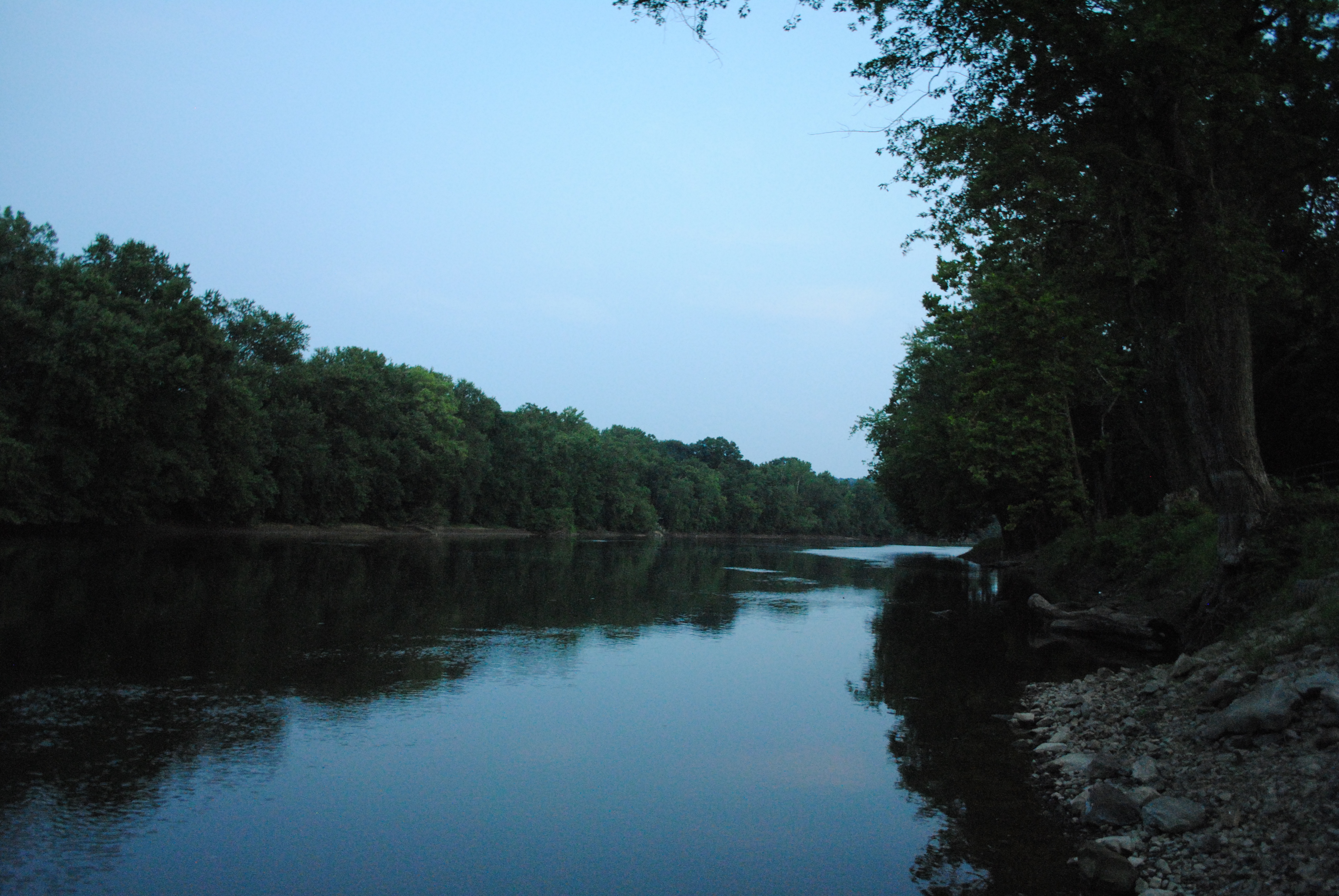
Muskingum River at Dusk

Henslow's Sparrow CY9C1301
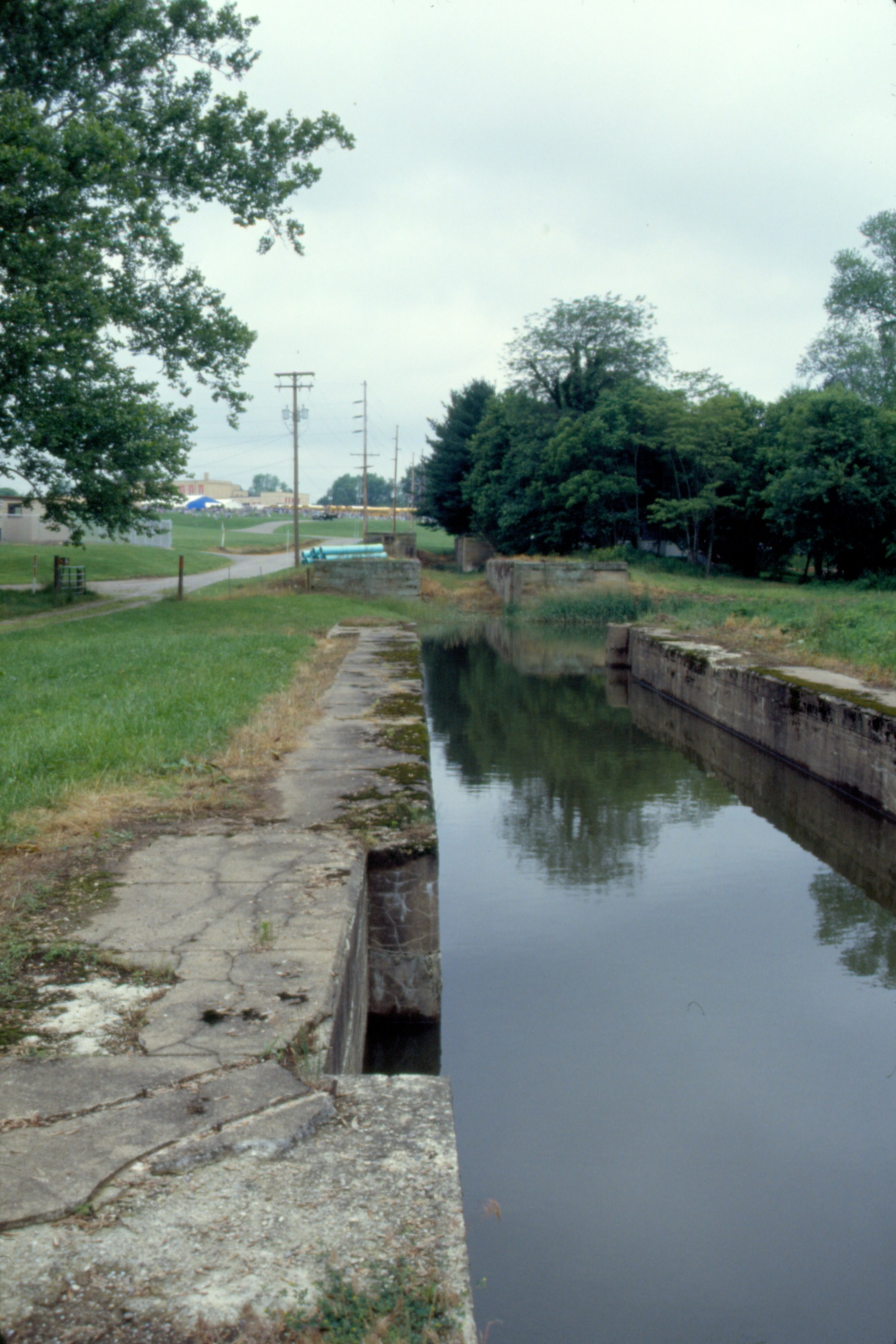
126 Triple Locks Img198_28
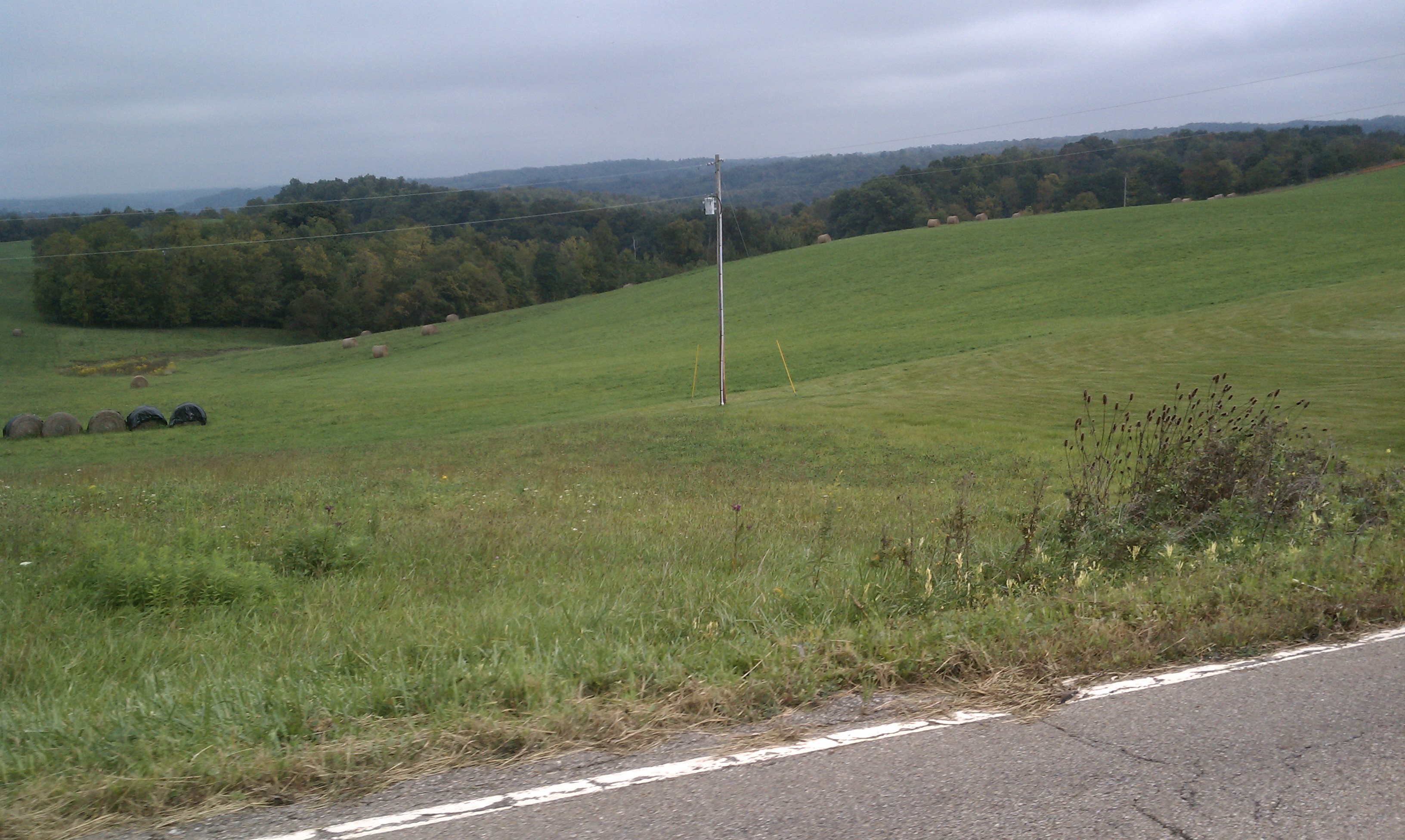
Gorgeous farm country

Zanesville OH 106
Topographic Map of Washington Township, OH, USA
Find elevation by address:

Places in Washington Township, OH, USA:
Places near Washington Township, OH, USA:
Township Rd, Dresden, OH, USA
18252 Co Rd 54
Co Rd 4, Dresden, OH, USA
4850 Red Bud Rd
4850 Red Bud Rd
OH-, Warsaw, OH, USA
Co Rd 80, Frazeysburg, OH, USA
Co Rd, Coshocton, OH, USA
New Moscow
Pike Township
Co Rd, Coshocton, OH, USA
Virginia Township
Shannon
Fawn Dr, Dresden, OH, USA
Muskingum County Speedway Inc
Perry Township
Coshocton County
18857 Co Rd 6
Jackson Township
Muskingum Township
Recent Searches:
- Elevation of Tenjo, Cundinamarca, Colombia
- Elevation of Côte-des-Neiges, Montreal, QC H4A 3J6, Canada
- Elevation of Bobcat Dr, Helena, MT, USA
- Elevation of Zu den Ihlowbergen, Althüttendorf, Germany
- Elevation of Badaber, Peshawar, Khyber Pakhtunkhwa, Pakistan
- Elevation of SE Heron Loop, Lincoln City, OR, USA
- Elevation of Slanický ostrov, 01 Námestovo, Slovakia
- Elevation of Spaceport America, Co Rd A, Truth or Consequences, NM, USA
- Elevation of Warwick, RI, USA
- Elevation of Fern Rd, Whitmore, CA, USA