Elevation of Washington Township, MO, USA
Location: United States > Missouri > Stone County >
Longitude: -93.480134
Latitude: 36.7958186
Elevation: 357m / 1171feet
Barometric Pressure: 97KPa
Elevation Map:
Satellite Map:
Related Photos:
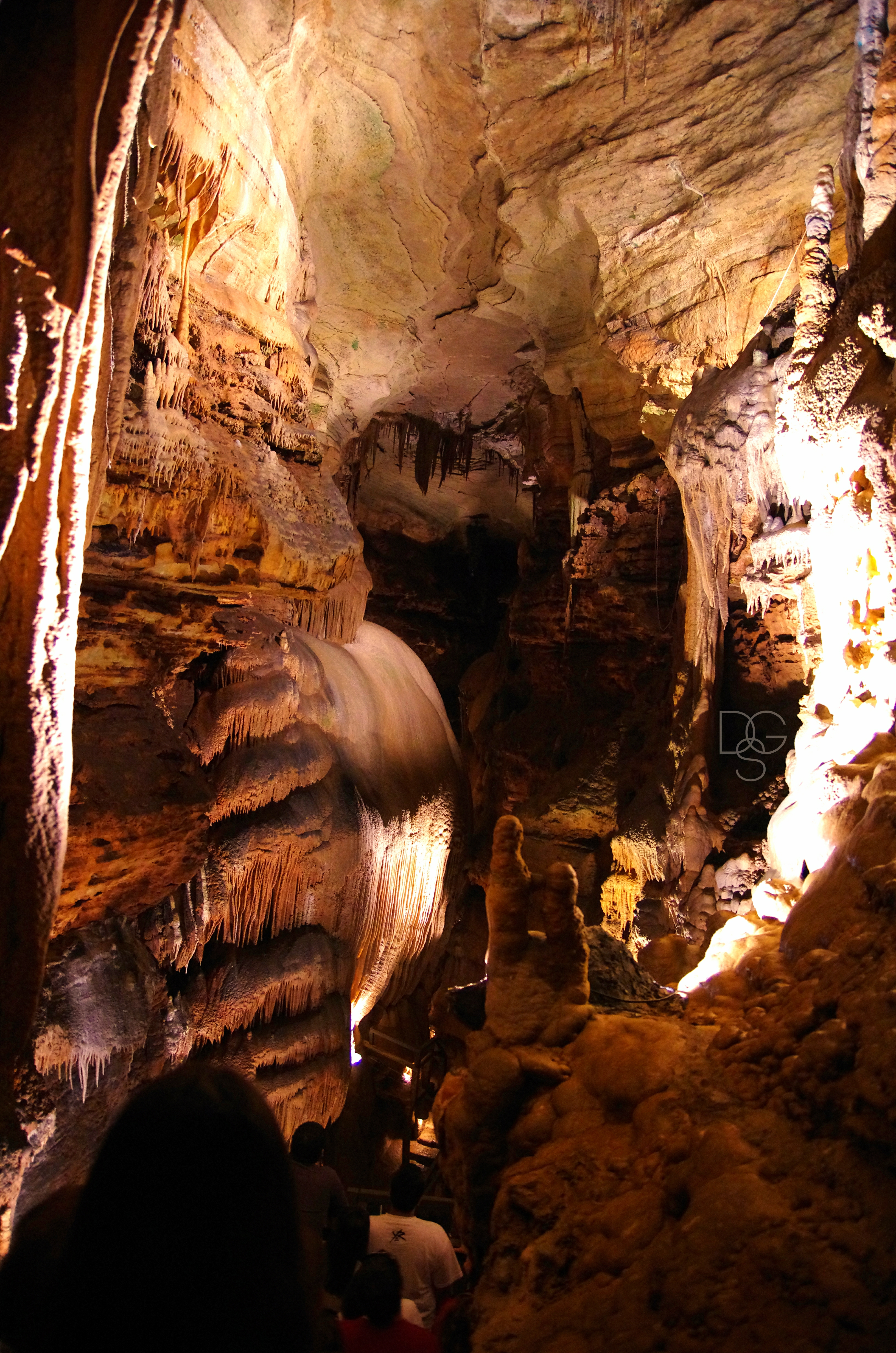
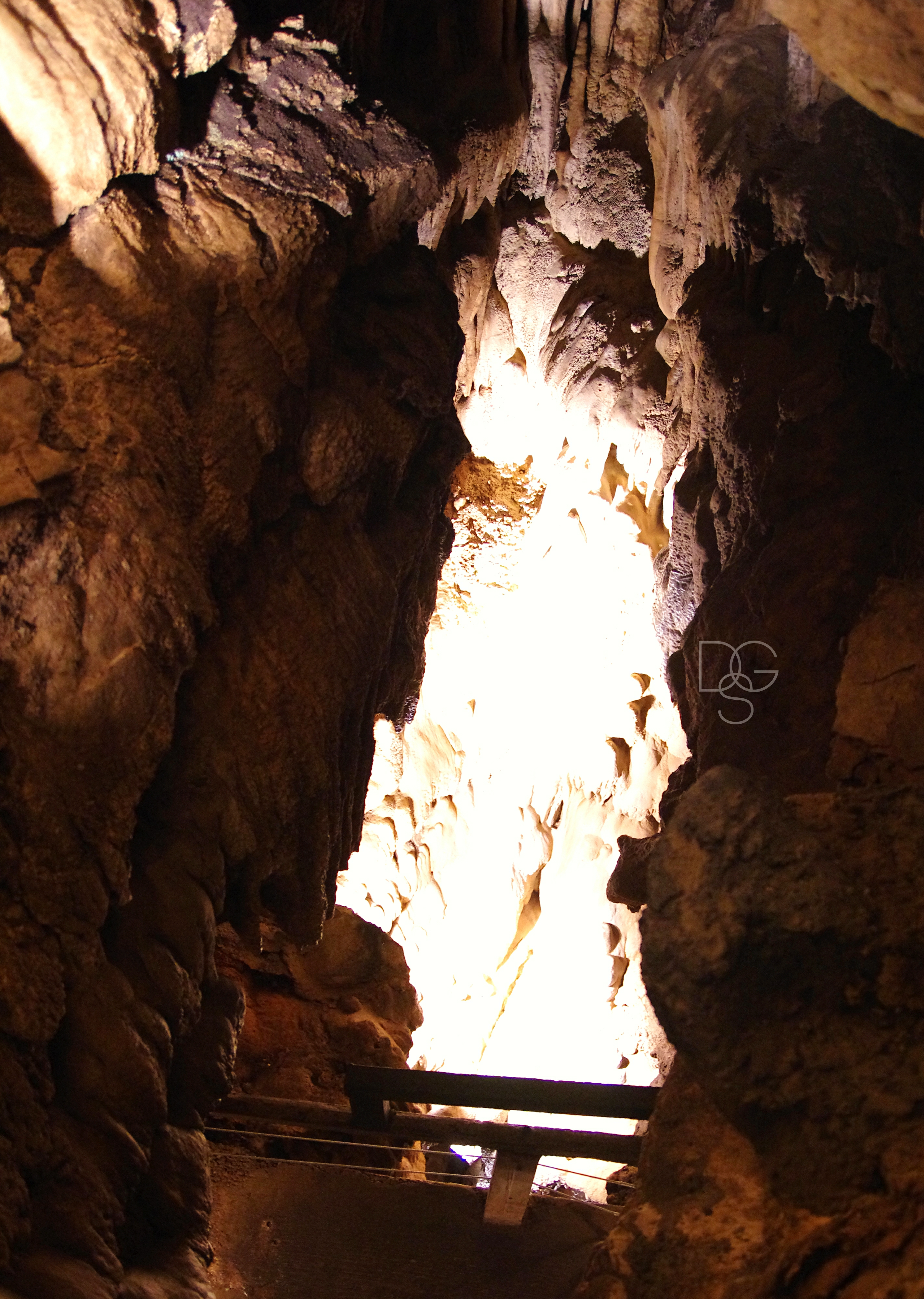
Talking Rocks Cavern II: First View
Talking Rocks Caverns VII: Angel Angle
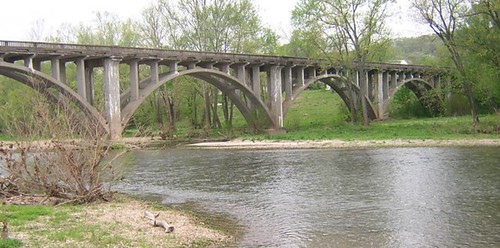
Galena Y Bridge- Side View
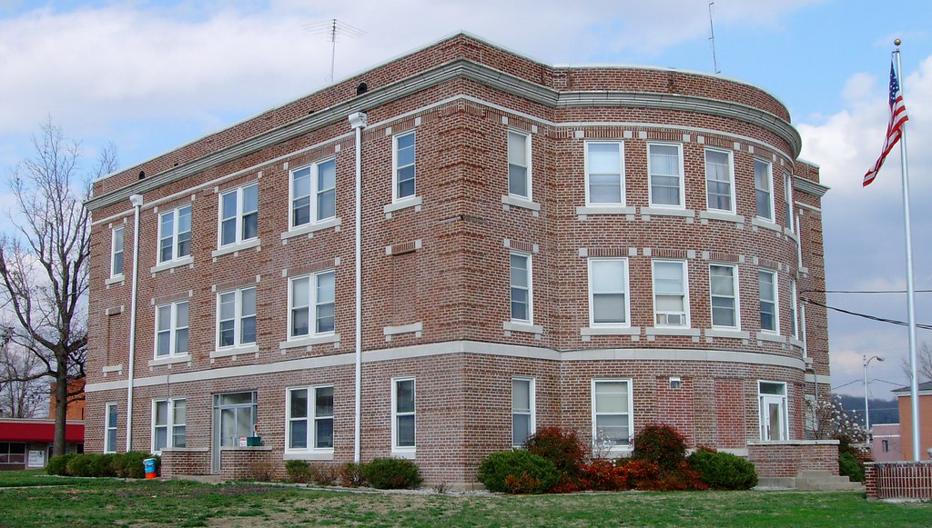
Stone County Courthouse (Galena, Missouri)

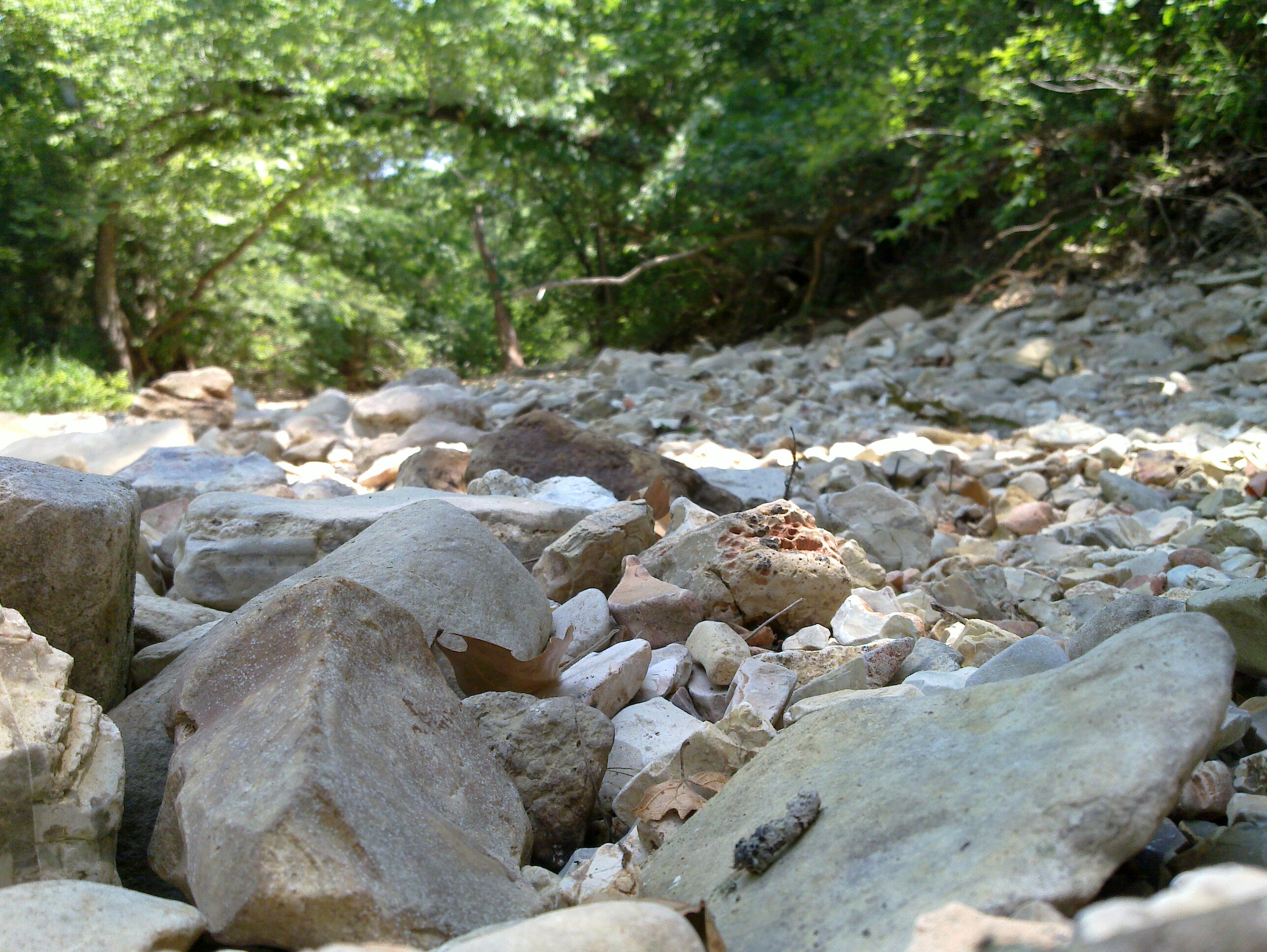
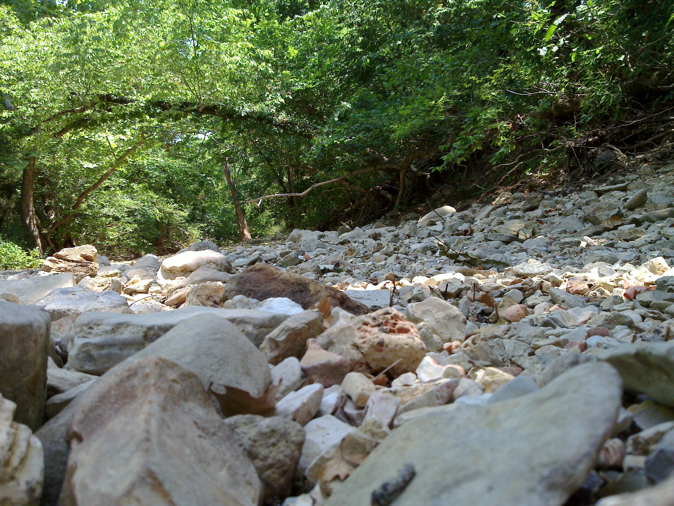
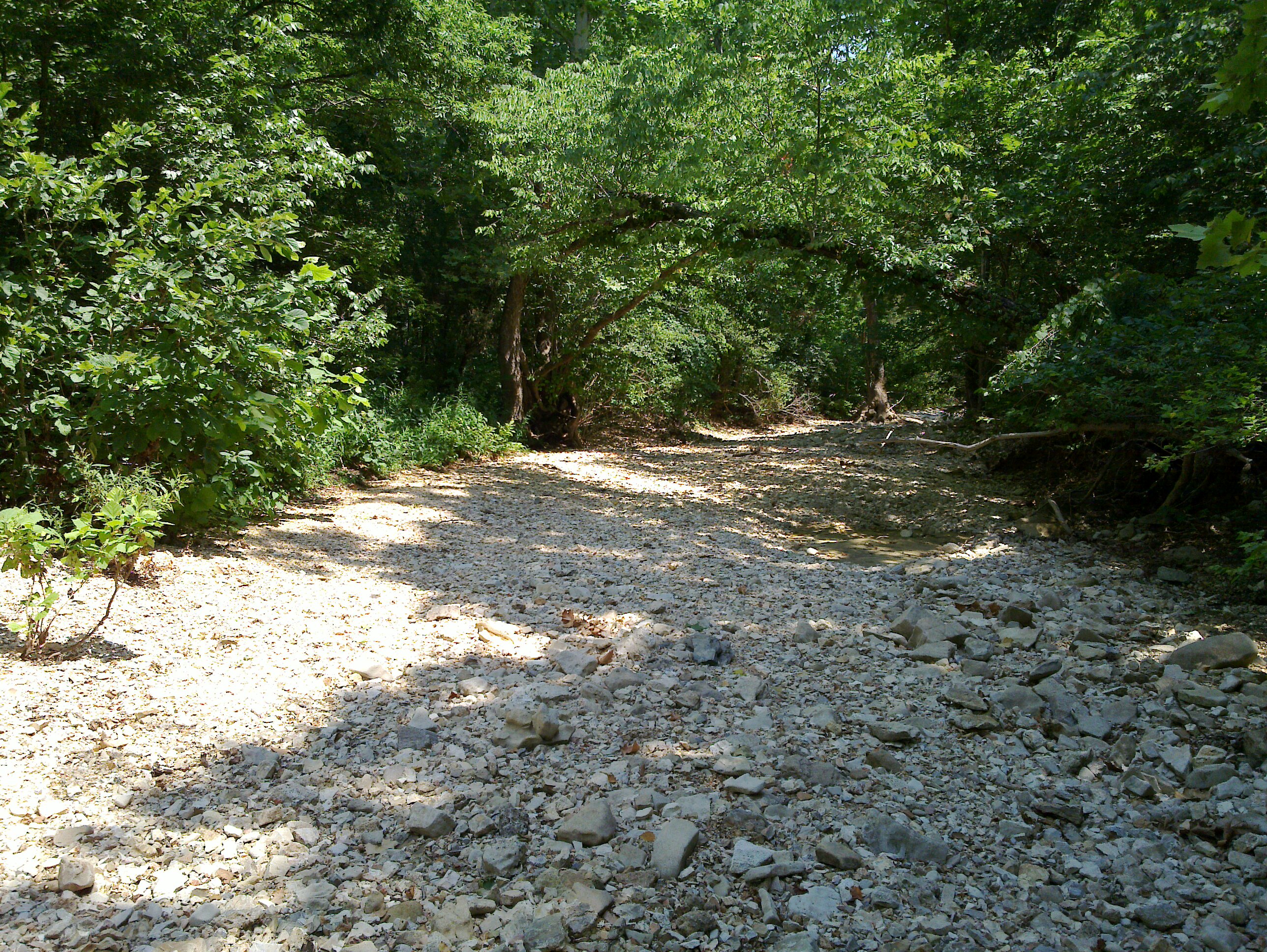
Piney Creek Wilderness - Campfire
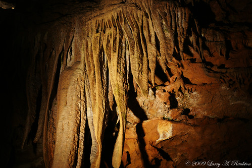
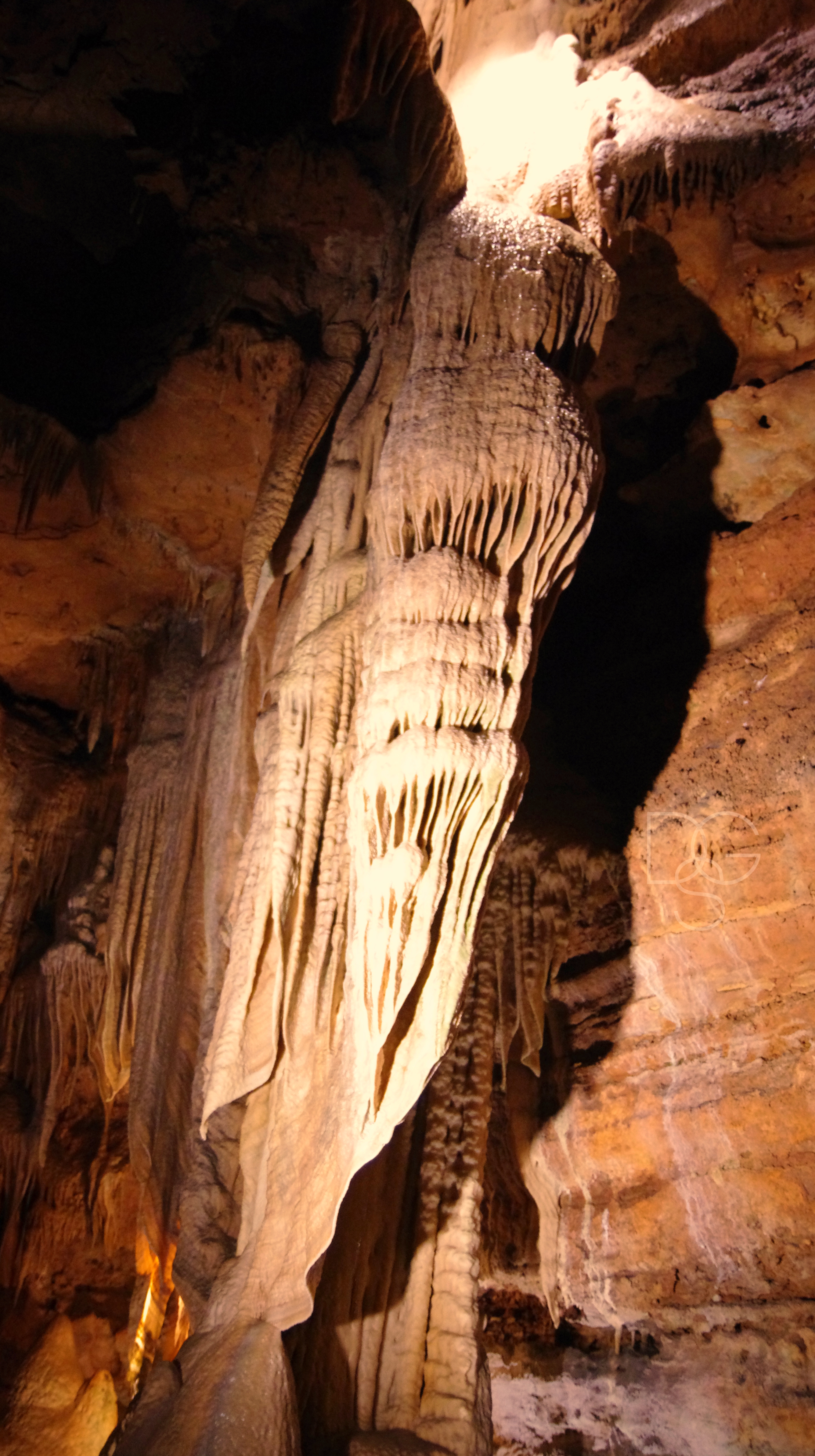
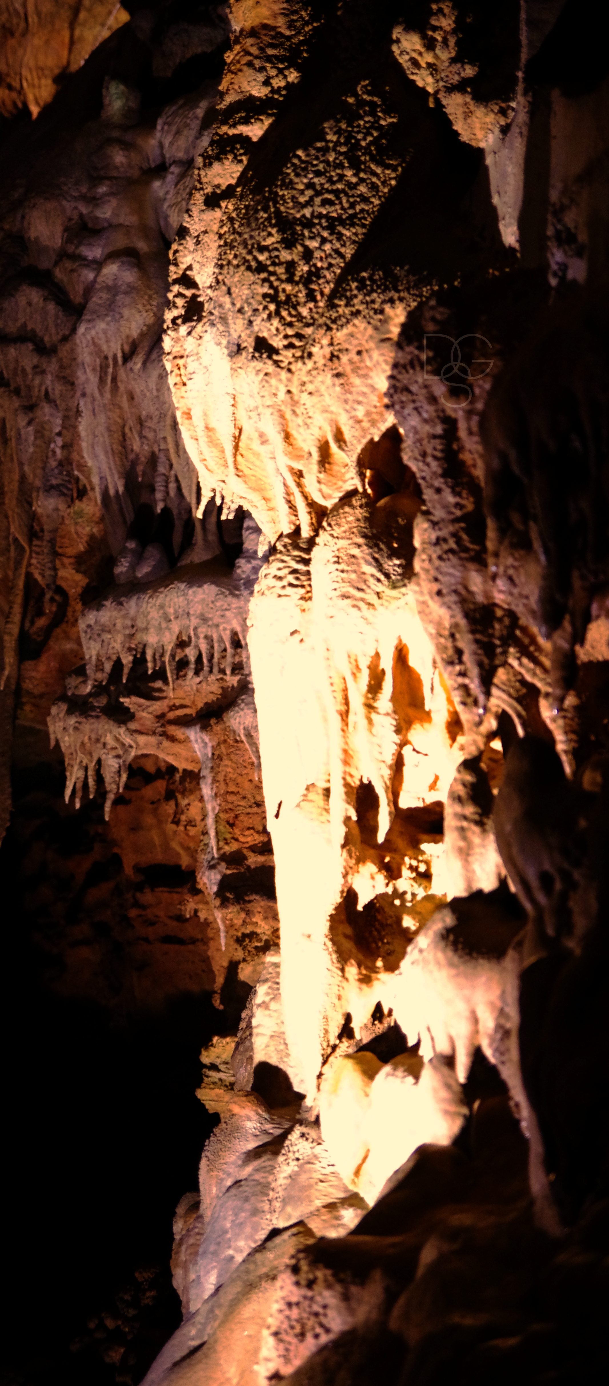
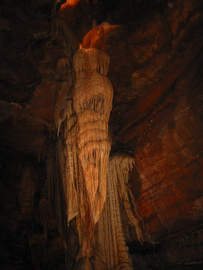
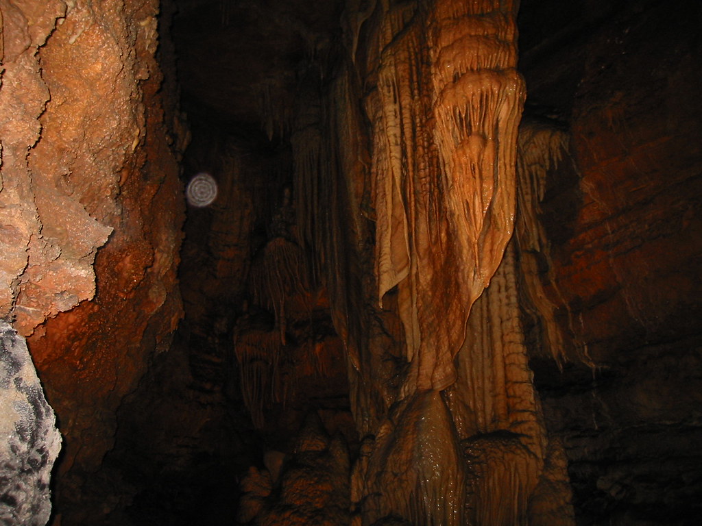
Drapes.

The rather inconspicuous (and unmarked) entrance to the Piney Creek Tower (Pine View) Trailhead

Piney Creek Wilderness - Campfire
HIP_330629590.734695
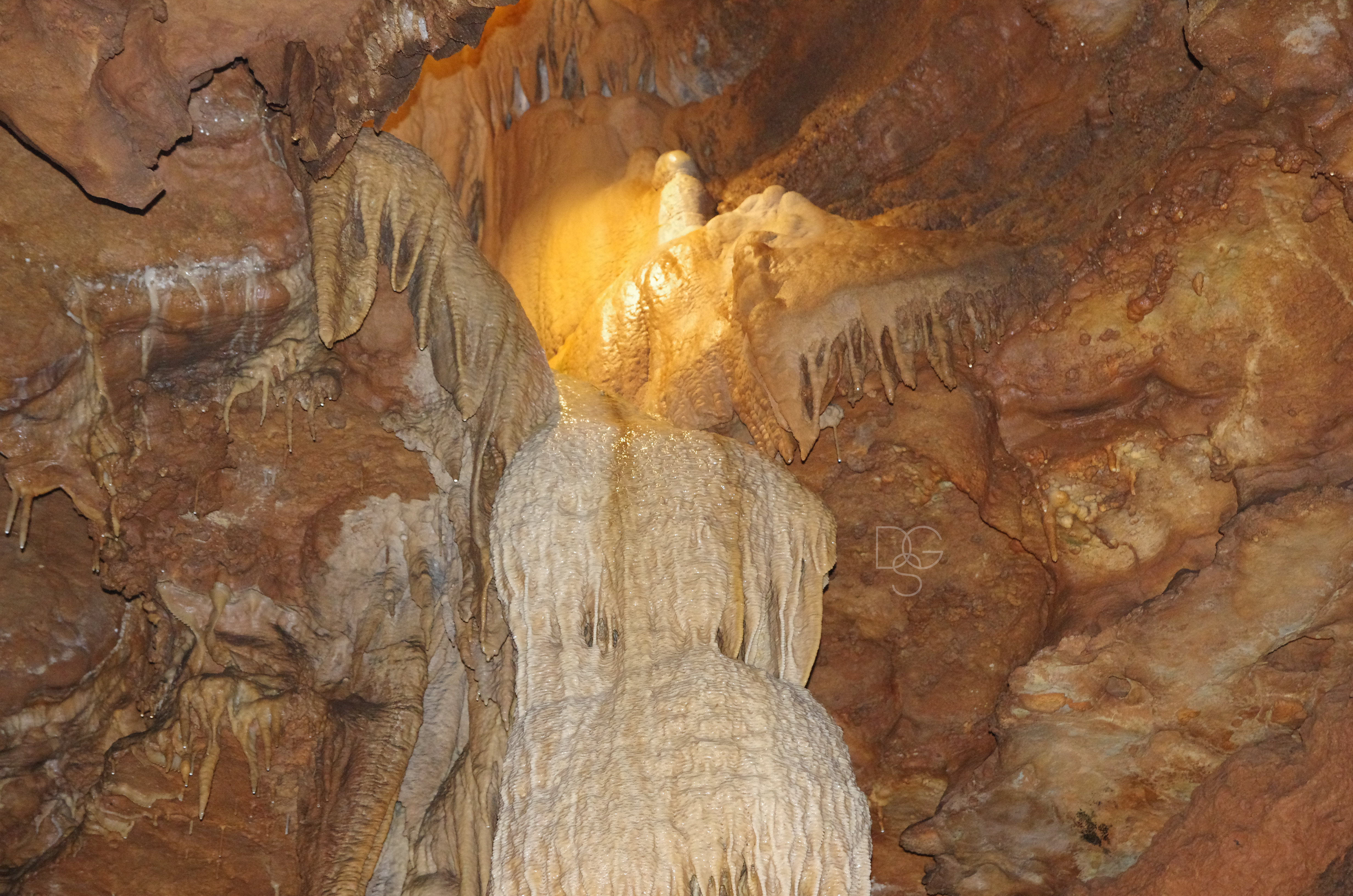
Talking Rocks CavernX: Angel Wings With Flash
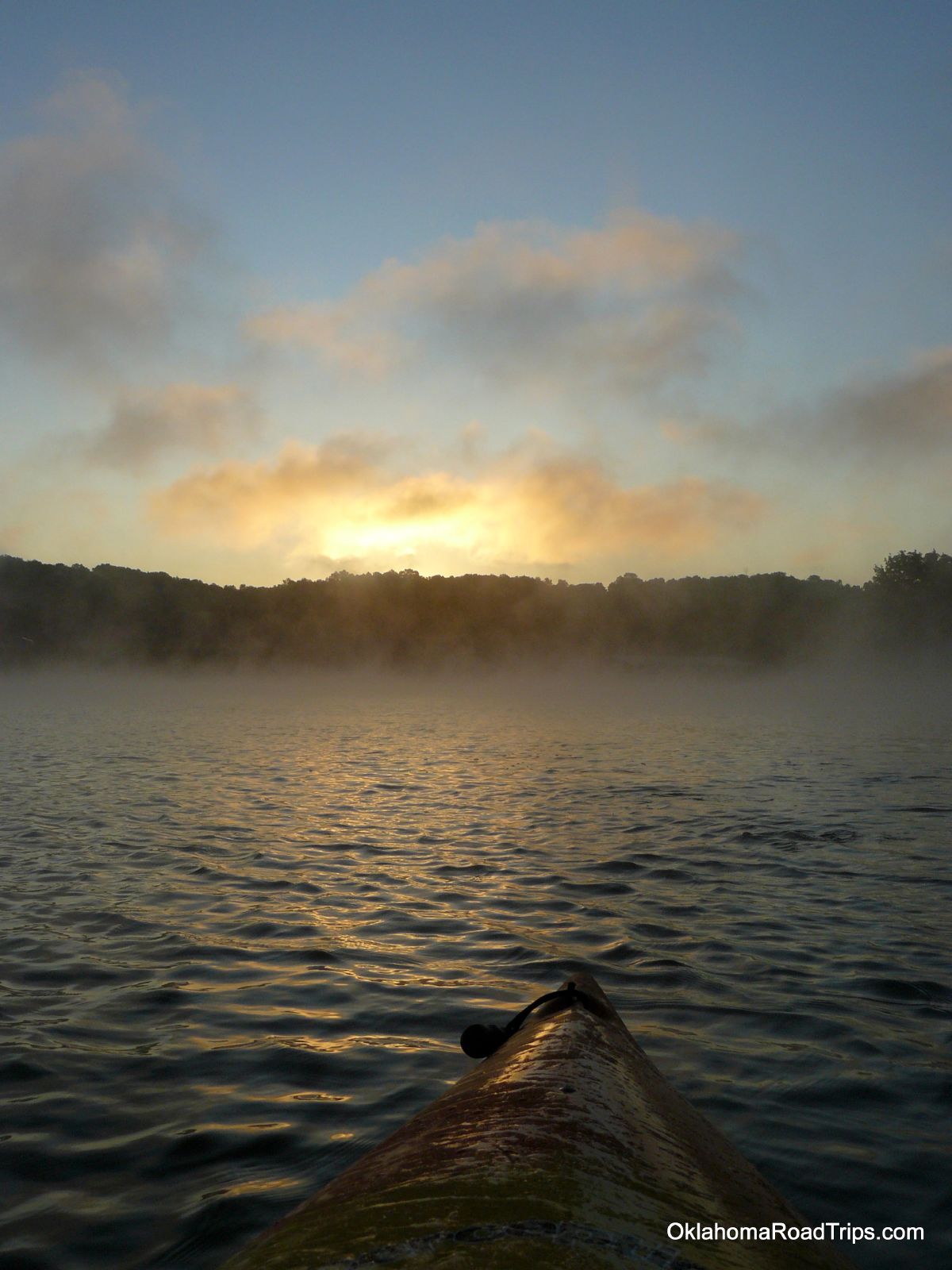
Table Rock Lake Via Kayak
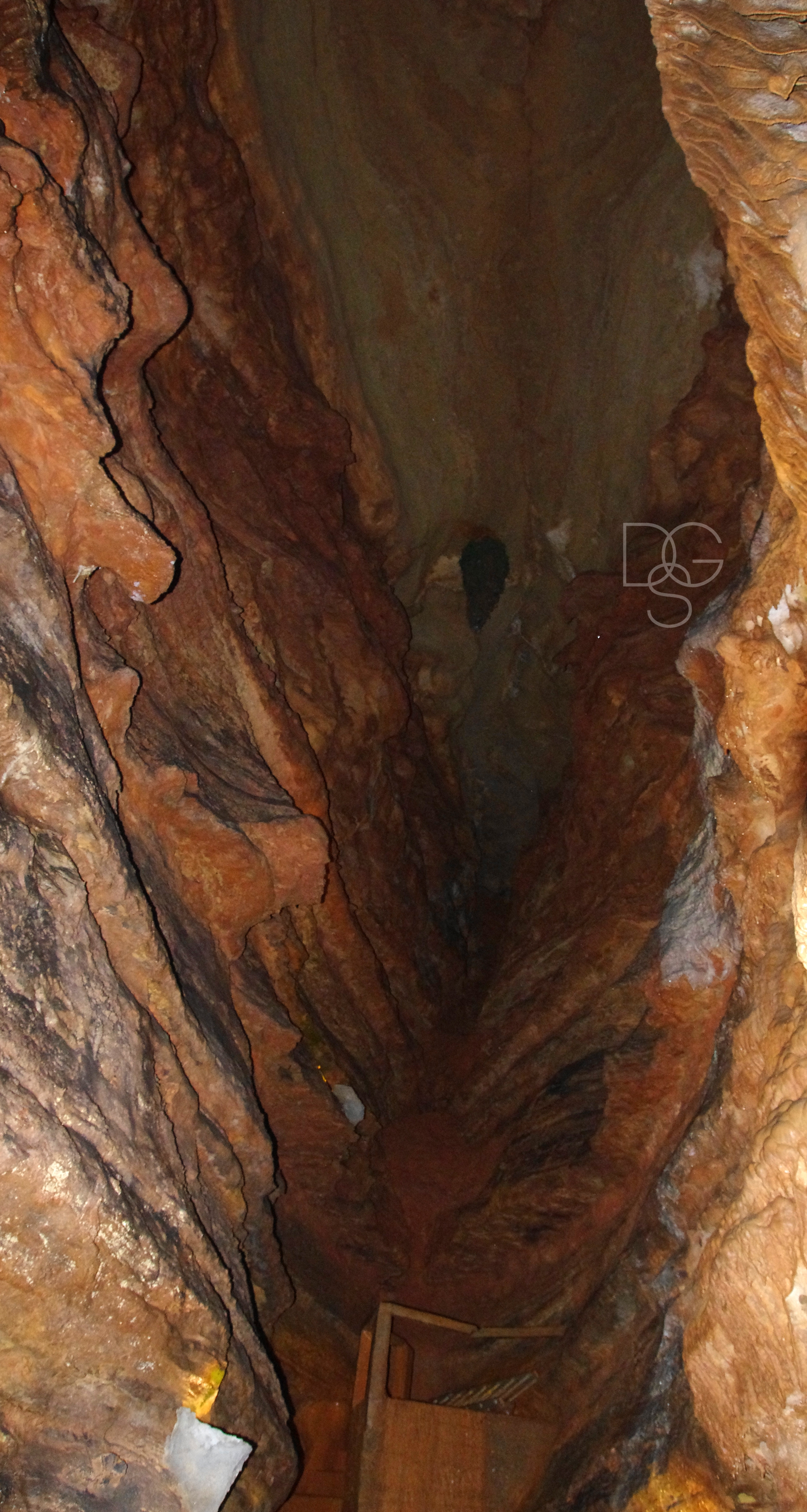
Talking Rocks Cavern I: Descent
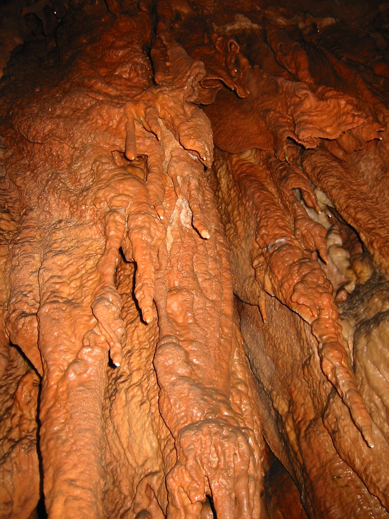
Talking Rocks Cavern IV: Flowstone
Talking Rocks Cavern XII: Christmas Tree
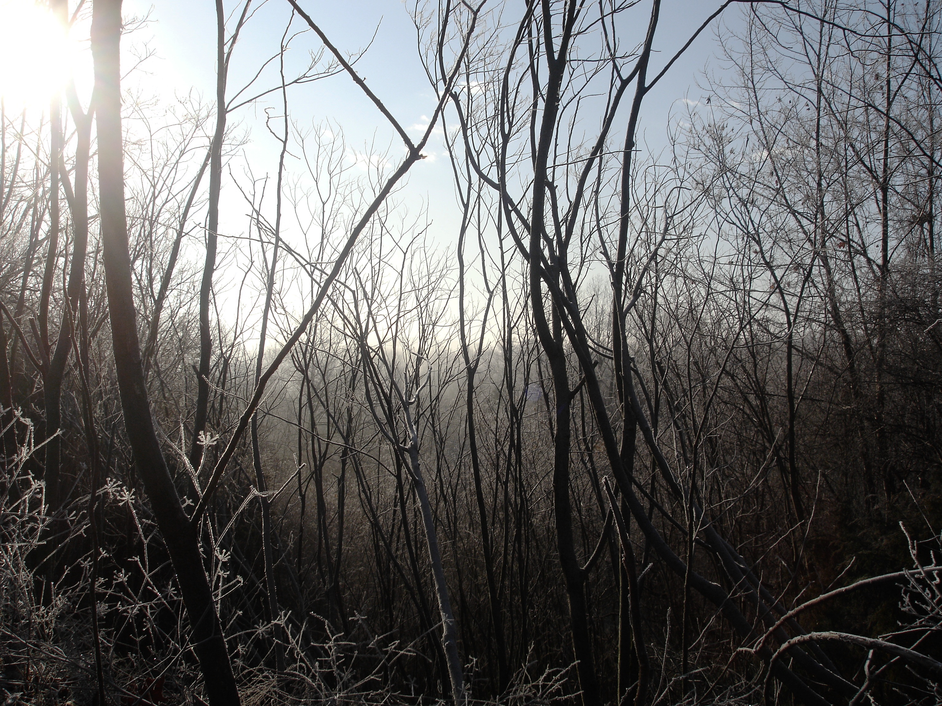
Fall in the Ozarks
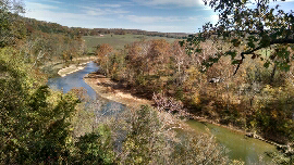
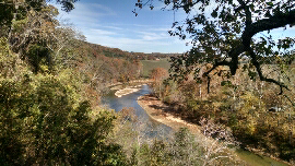
James River

Skyline Drive, Mark Twain National Forest
20110709_002.jpg
20110709_003.jpg
20110709_004.jpg
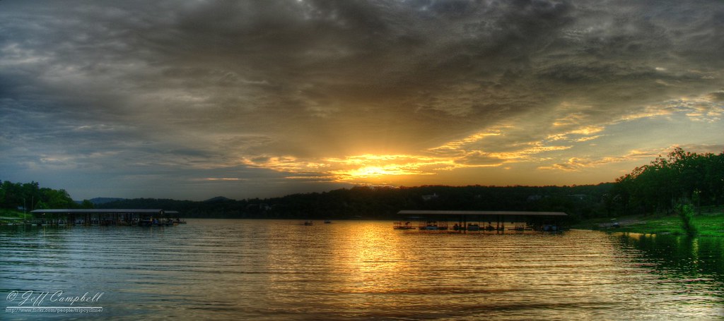
Sunset over Table Rock Lake
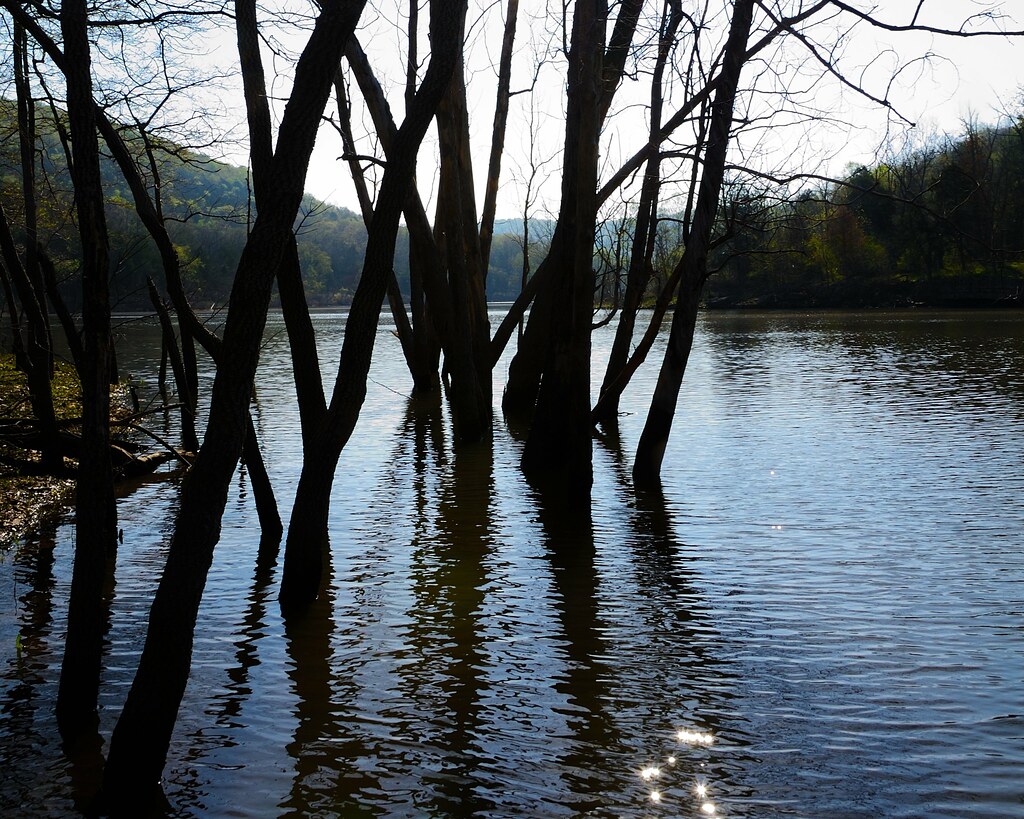
Table Rock Lake at Piney Creek Wilderness

IMG_1327.JPG
IMG_1328.JPG
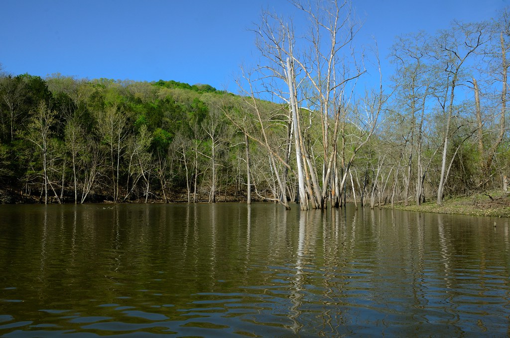
Table Rock Lake at Piney Creek Wilderness
IMG_1338.JPG
IMG_1331.JPG
branson west in the morning
Topographic Map of Washington Township, MO, USA
Find elevation by address:

Places near Washington Township, MO, USA:
Galena
E 4th St, Galena, MO, USA
Camp Clark Hill
Stone County
714 Eagle Landing Rd
1333 Camp Clark Hill
1339 Old Miller Rd
1031 Eaglecrest Rd
Flat Creek A Township
3502 Mo-176
104 Dogwood Ln
Reeds Spring
519 Apricot Ln
Ruth A Township
1811 Warner Rd
Ponce De Leon Township
Ponce De Leon
3174 Goff Creek Rd
1295 160-76
Spokane
Recent Searches:
- Elevation of Unnamed Road, Respublika Severnaya Osetiya — Alaniya, Russia
- Elevation of Verkhny Fiagdon, North Ossetia–Alania Republic, Russia
- Elevation of F. Viola Hiway, San Rafael, Bulacan, Philippines
- Elevation of Herbage Dr, Gulfport, MS, USA
- Elevation of Lilac Cir, Haldimand, ON N3W 2G9, Canada
- Elevation of Harrod Branch Road, Harrod Branch Rd, Kentucky, USA
- Elevation of Wyndham Grand Barbados Sam Lords Castle All Inclusive Resort, End of Belair Road, Long Bay, Bridgetown Barbados
- Elevation of Iga Trl, Maggie Valley, NC, USA
- Elevation of N Co Rd 31D, Loveland, CO, USA
- Elevation of Lindever Ln, Palmetto, FL, USA