Elevation of Washington Hooppole St, Prophetstown, IL, USA
Location: United States > Illinois > Henry County > Yorktown Township > Hooppole >
Longitude: -89.910055
Latitude: 41.5223348
Elevation: 190m / 623feet
Barometric Pressure: 99KPa
Elevation Map:
Satellite Map:
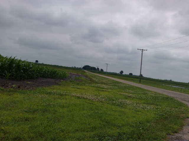
Related Photos:
Hooppole, Yorktown & Tampico, Yorktown, Illinois
Hoopole, Yorktown & Tampico, Hooppole Depot

Hooppole, Yorktown & Tampico Zig Zag across hwy #172

HY&T Hooppole, Illinois Depot 1952
Hoopole, Yorktown & Tampico #1315 Rear

mud season
Twilight on the South Edge of Town; Prophetstown, Illinois

20130914 62 Sunflowers
Blue Steel took a picture!
Blue Steel took a picture!
Topographic Map of Washington Hooppole St, Prophetstown, IL, USA
Find elevation by address:

Places near Washington Hooppole St, Prophetstown, IL, USA:
Hooppole
Yorktown Township
Annawan
5 N Canal St, Annawan, IL, USA
Annawan Township
Tampico Township
E 2nd St, Mineral, IL, USA
Mineral
Tampico
Mineral Township
W Commercial St, Lyndon, IL, USA
Lyndon
Lyndon Township
67 Yorktown Rd, Lyndon, IL, USA
Deer Grove
Manlius Township
Hoover Rd, Deer Grove, IL, USA
Sheffield
S Main St, Sheffield, IL, USA
22419 Moline Rd
Recent Searches:
- Elevation of Hanson Rd, Cedaredge, CO, USA
- Elevation of Maxine St NE, Albuquerque, NM, USA
- Elevation of Blattner Rd, Philo, CA, USA
- Elevation of Polzela, Slovenia
- Elevation of Gorod Kislovodsk, Stavropol Krai, Russia
- Elevation of Kislovodsk, Stavropol Krai, Russia
- Elevation of Eagle Stone Drive, Eagle Stone Dr, The Preserve at Corkscrew, FL, USA
- Elevation of Formby Ct, Myrtle Beach, SC, USA
- Elevation of Hobbyhorse Ct, Dover, DE, USA
- Elevation of Horseshoe Ln, Dahlonega, GA, USA