Elevation of Washington County, IA, USA
Location: United States > Iowa >
Longitude: -91.7538817
Latitude: 41.3477966
Elevation: 236m / 774feet
Barometric Pressure: 0KPa
Related Photos:
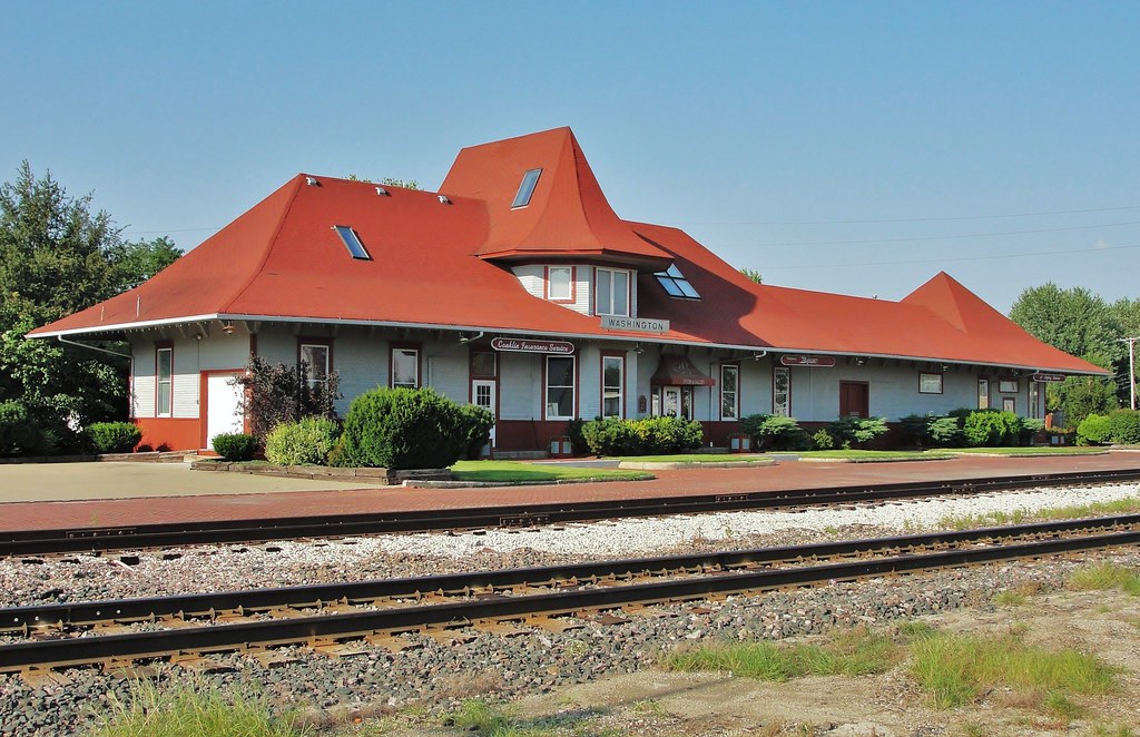
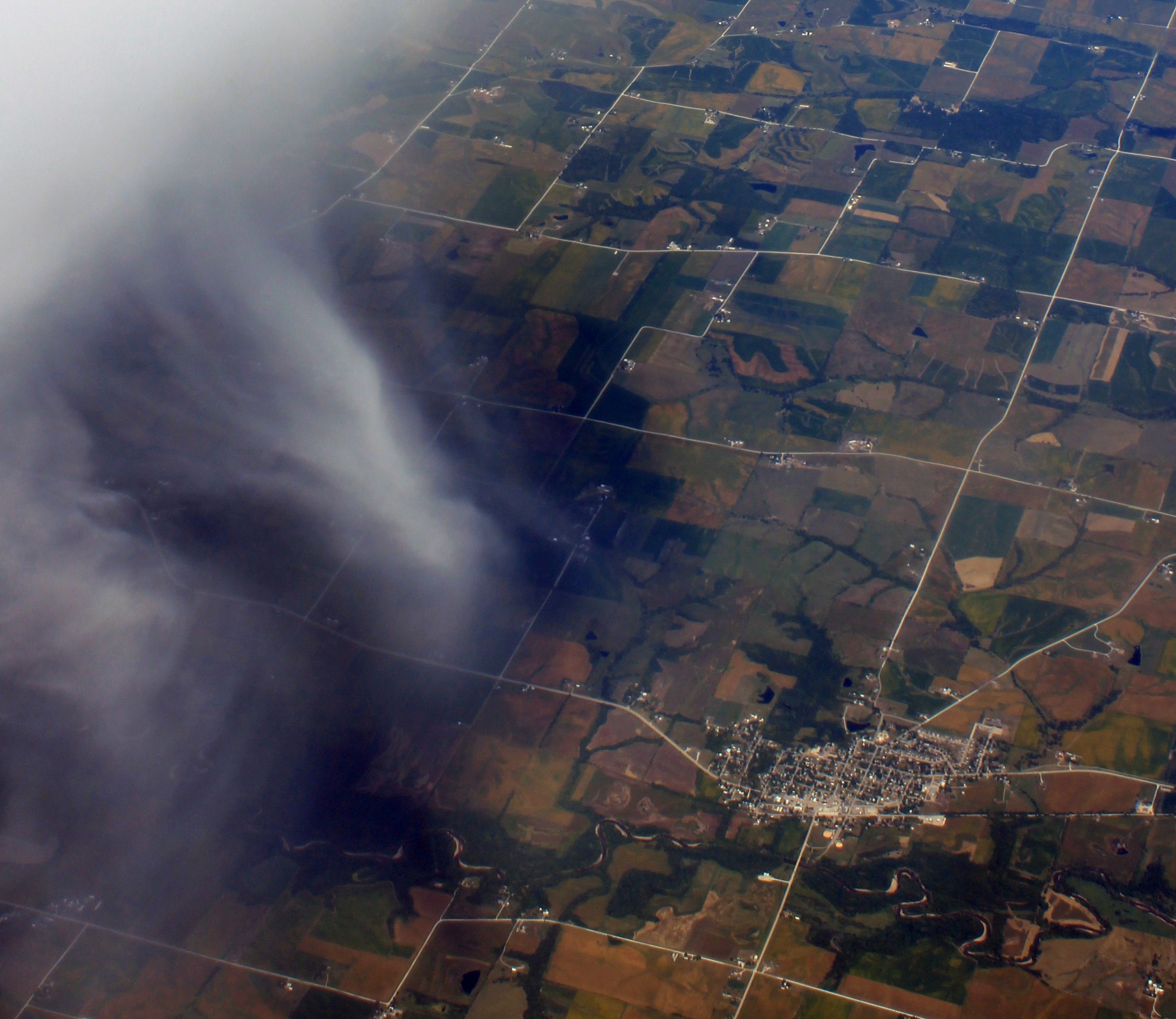
Milwaukee Road depot - Washington, Iowa

"A Lot of Work Ahead of Her"

Wellman IA Sunset

frosted tree

frosted tree

Washington, IA Sunset

Iowa Sunset
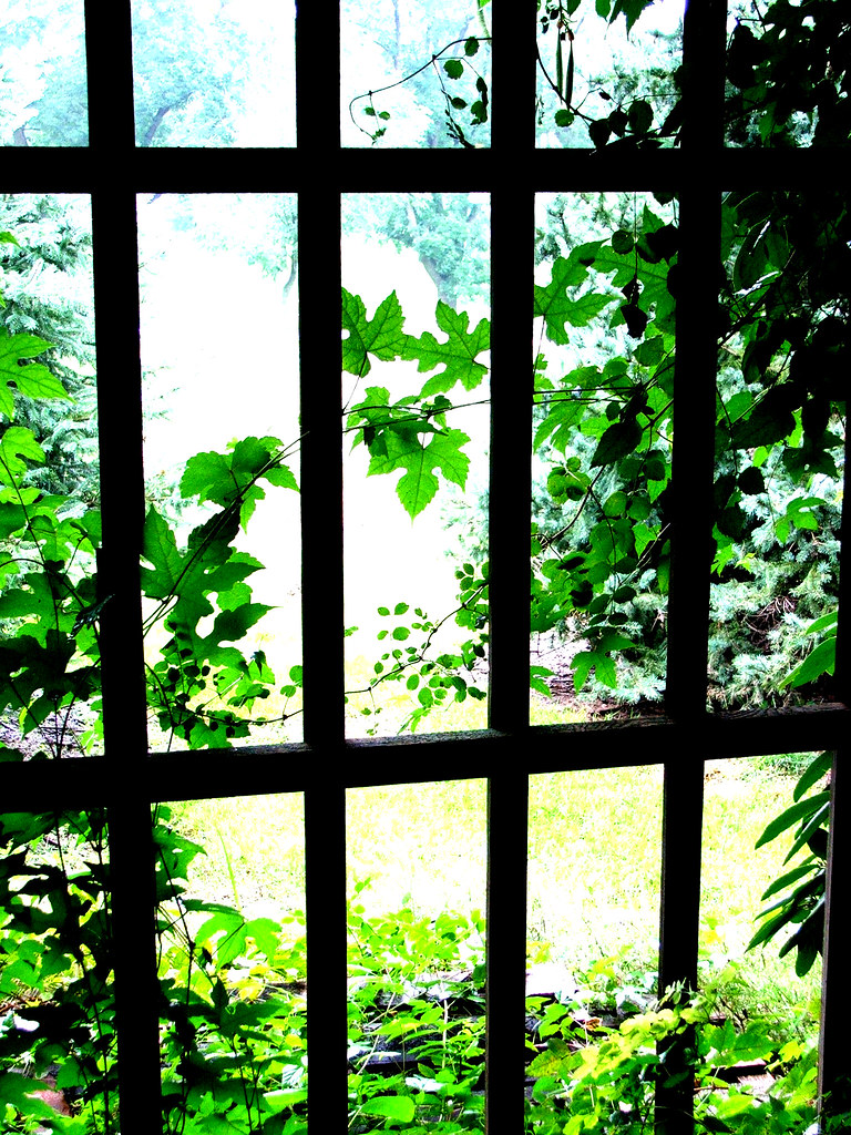
Nature Contained

Missing Light

#Vintage

????

Lou & Claire Licht

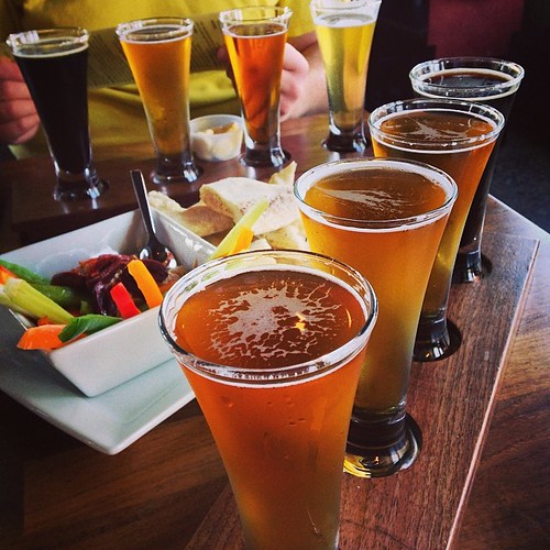
Regional cuisine in Iowa

A Child Is Born
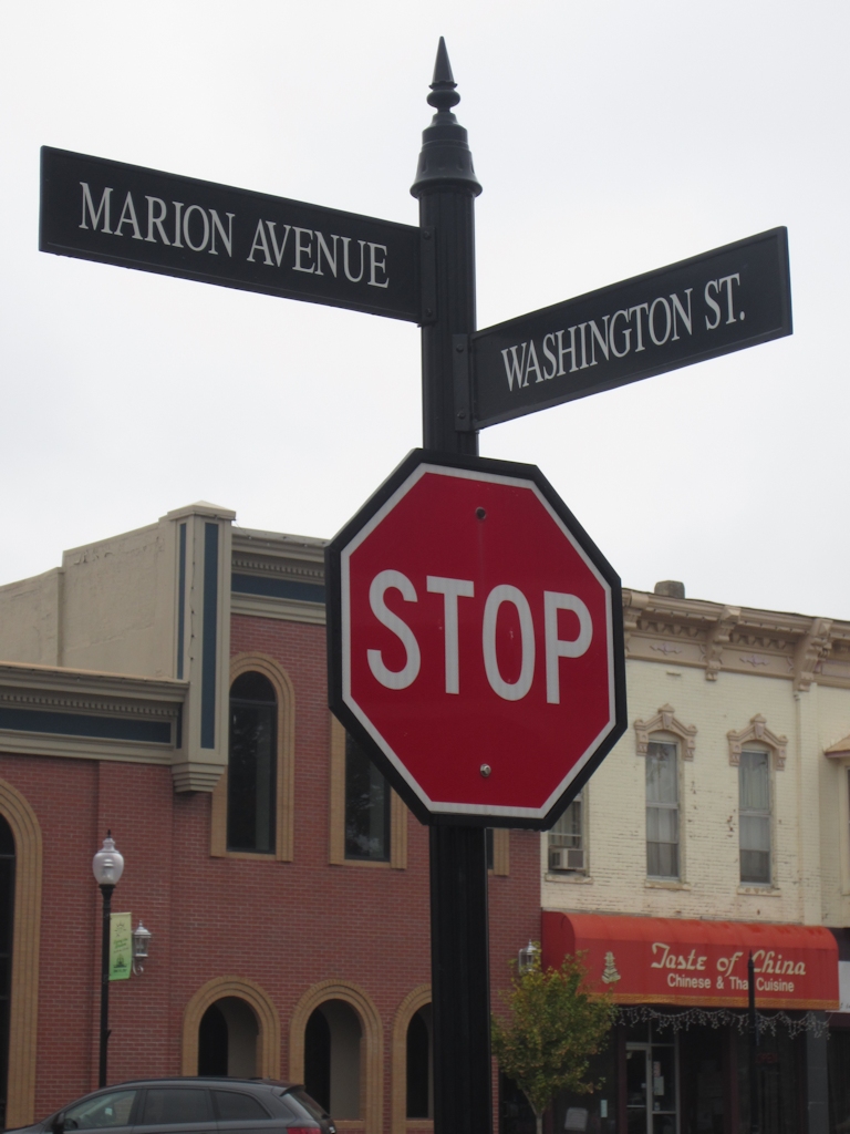
Street signs in downtown Washington
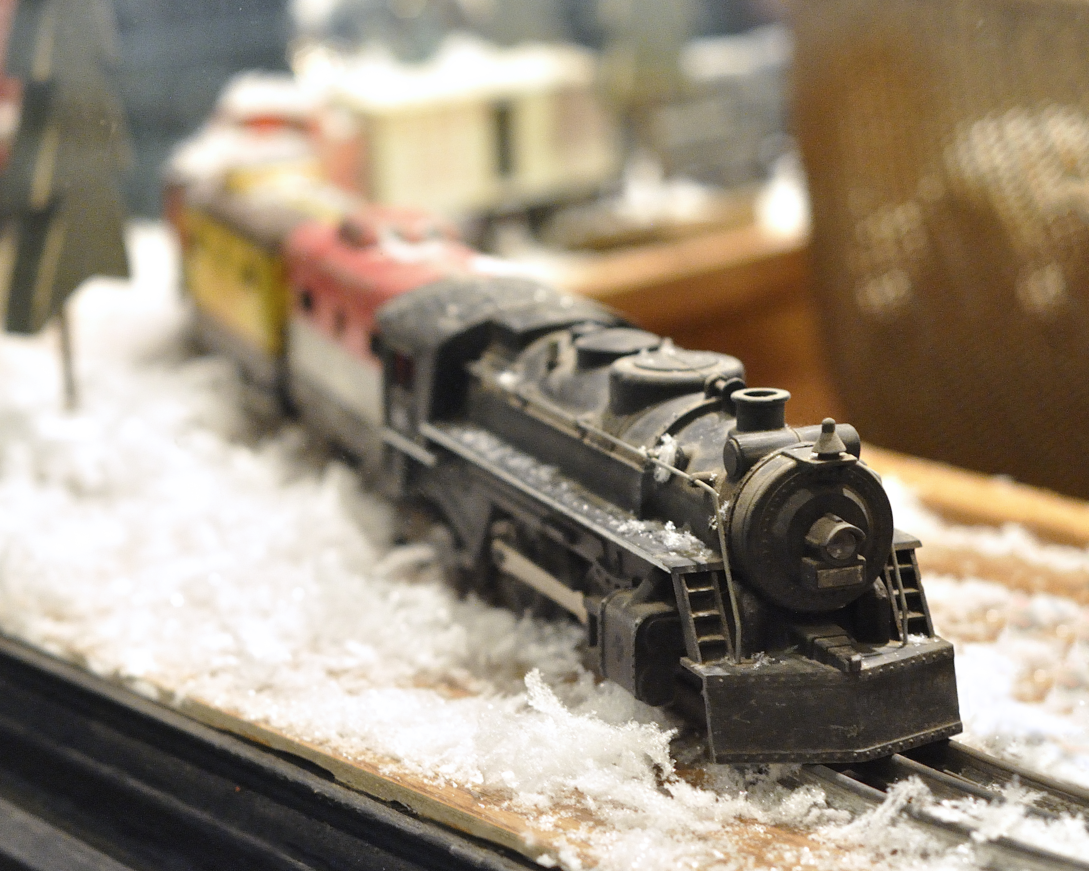
Trains are Cool
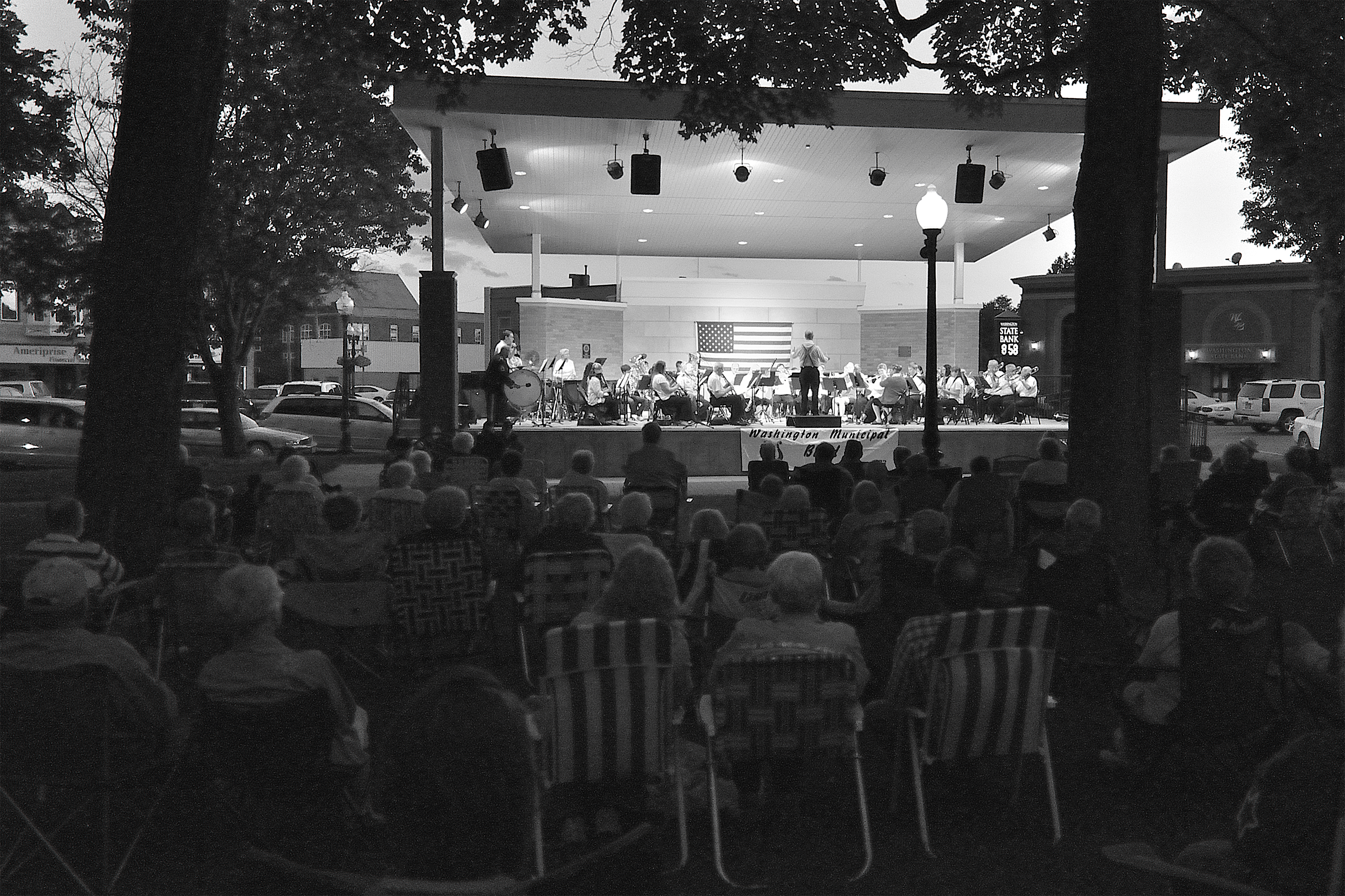
Musical Tradition
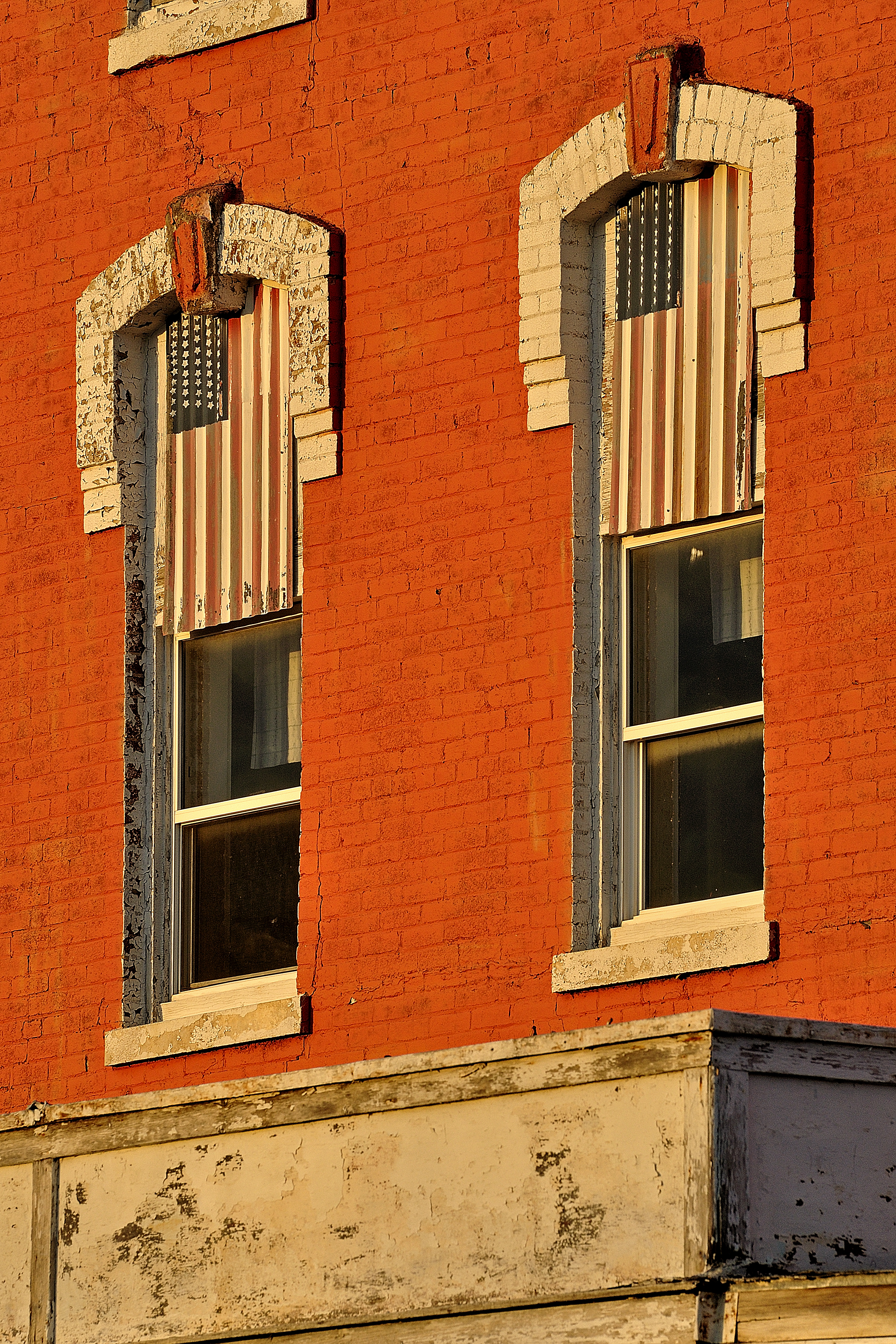
Flags of Goncho
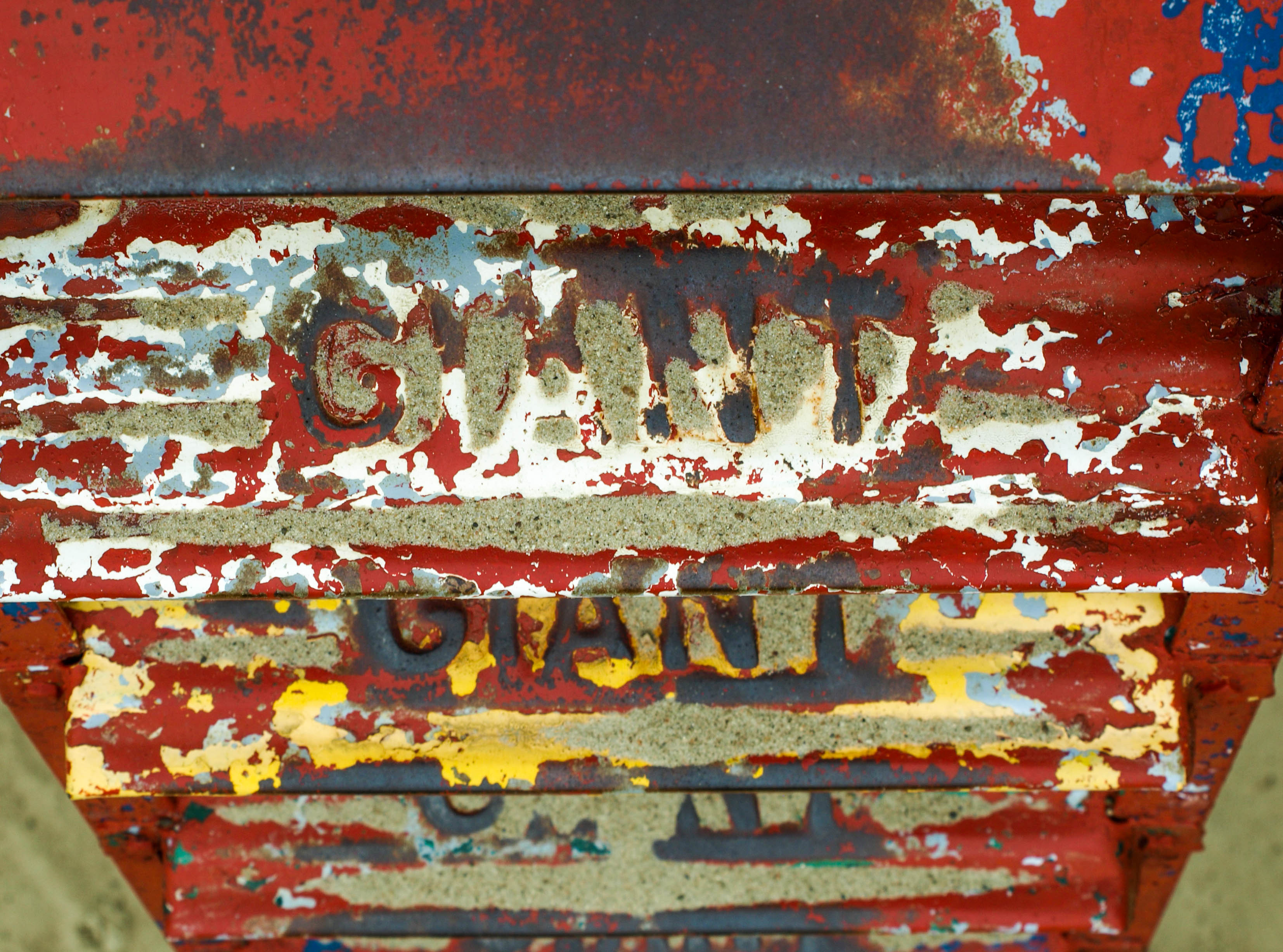
A Giant Slide
Flights!!
2011_09_09_2940.jpg

in the flat lands
Topographic Map of Washington County, IA, USA
Find elevation by address:

Places in Washington County, IA, USA:
English River
Oregon
Clay
Washington
Lime Creek
Iowa
3rd St, Ainsworth, IA, USA
th St, Riverside, IA, USA
Places near Washington County, IA, USA:
Washington
S Marion Ave, Washington, IA, USA
601 E 3rd St
601 E 3rd St
601 E 3rd St
601 E 3rd St
Washington
2111 290th St
English River
A Ave, Kalona, IA, USA
Knepps
Kalona
8th Ave SE, Wellman, IA, USA
Wellman
Lime Creek
Clay
Keota
Iowa
3rd St, Ainsworth, IA, USA
Riverside
Recent Searches:
- Elevation map of Greenland, Greenland
- Elevation of Sullivan Hill, New York, New York, 10002, USA
- Elevation of Morehead Road, Withrow Downs, Charlotte, Mecklenburg County, North Carolina, 28262, USA
- Elevation of 2800, Morehead Road, Withrow Downs, Charlotte, Mecklenburg County, North Carolina, 28262, USA
- Elevation of Yangbi Yi Autonomous County, Yunnan, China
- Elevation of Pingpo, Yangbi Yi Autonomous County, Yunnan, China
- Elevation of Mount Malong, Pingpo, Yangbi Yi Autonomous County, Yunnan, China
- Elevation map of Yongping County, Yunnan, China
- Elevation of North 8th Street, Palatka, Putnam County, Florida, 32177, USA
- Elevation of 107, Big Apple Road, East Palatka, Putnam County, Florida, 32131, USA
- Elevation of Jiezi, Chongzhou City, Sichuan, China
- Elevation of Chongzhou City, Sichuan, China
- Elevation of Huaiyuan, Chongzhou City, Sichuan, China
- Elevation of Qingxia, Chengdu, Sichuan, China
- Elevation of Corso Fratelli Cairoli, 35, Macerata MC, Italy
- Elevation of Tallevast Rd, Sarasota, FL, USA
- Elevation of 4th St E, Sonoma, CA, USA
- Elevation of Black Hollow Rd, Pennsdale, PA, USA
- Elevation of Oakland Ave, Williamsport, PA, USA
- Elevation of Pedrógão Grande, Portugal