Elevation of Washington Blvd, Chipley, FL, USA
Location: United States > Florida > Washington County > Chipley >
Longitude: -85.561202
Latitude: 30.5924124
Elevation: 82m / 269feet
Barometric Pressure: 100KPa
Elevation Map:
Satellite Map:
Related Photos:
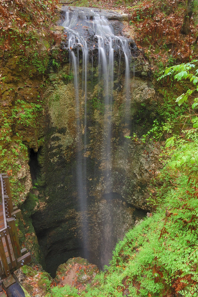
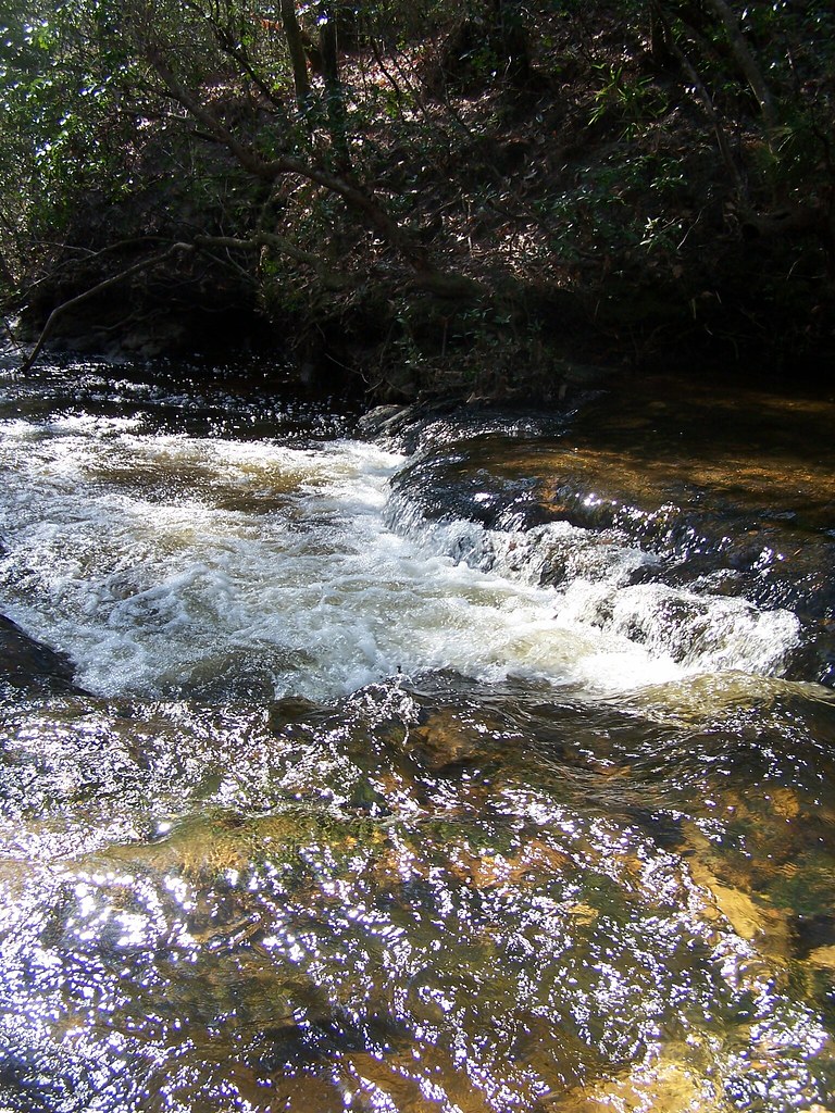
A wonderful view at Falling Waters State Park

"Dreaming As You Move Toward The Light"

The "Perfect Example" of "Rolled Hay"
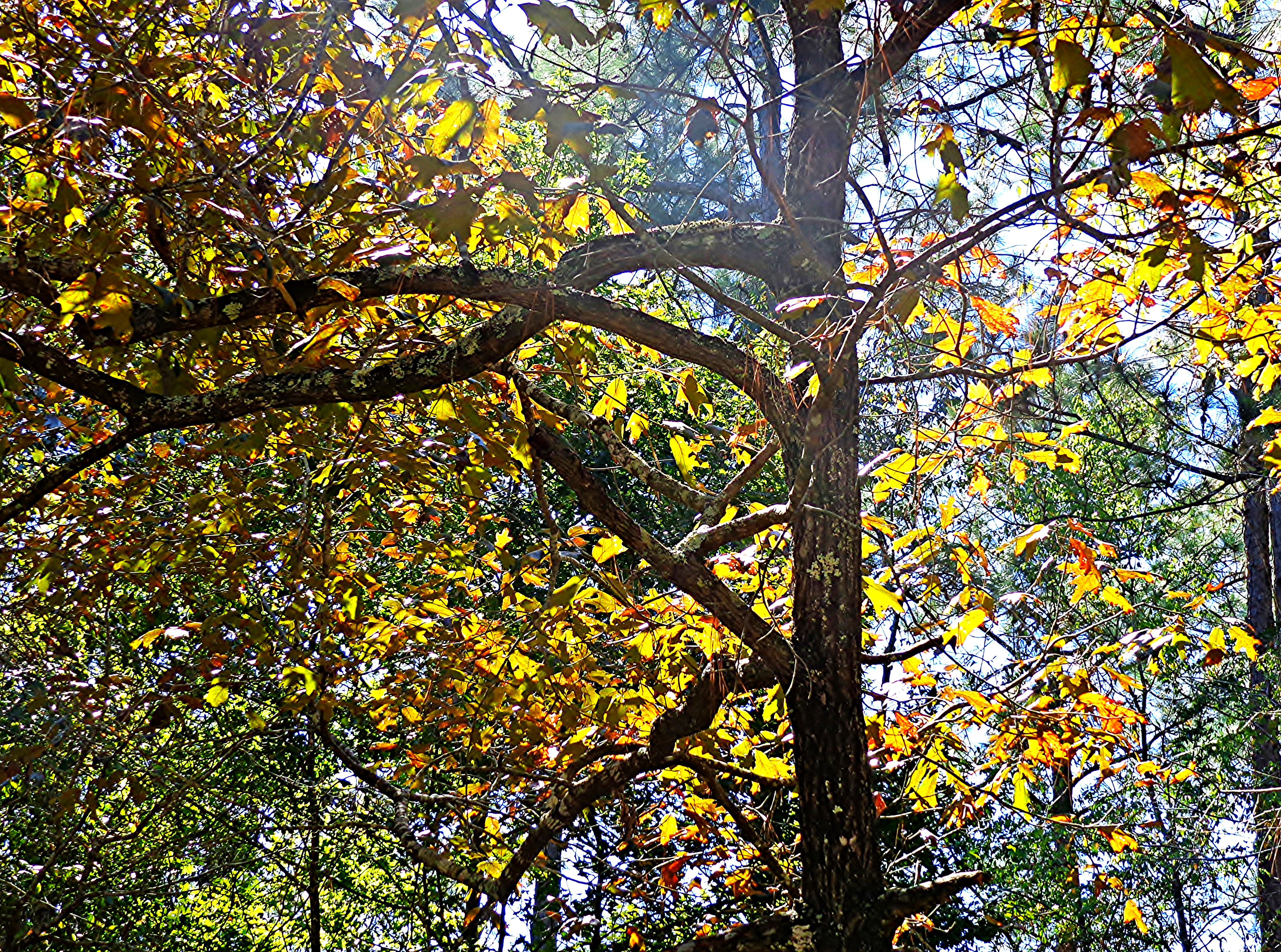
Fall Light In Florida

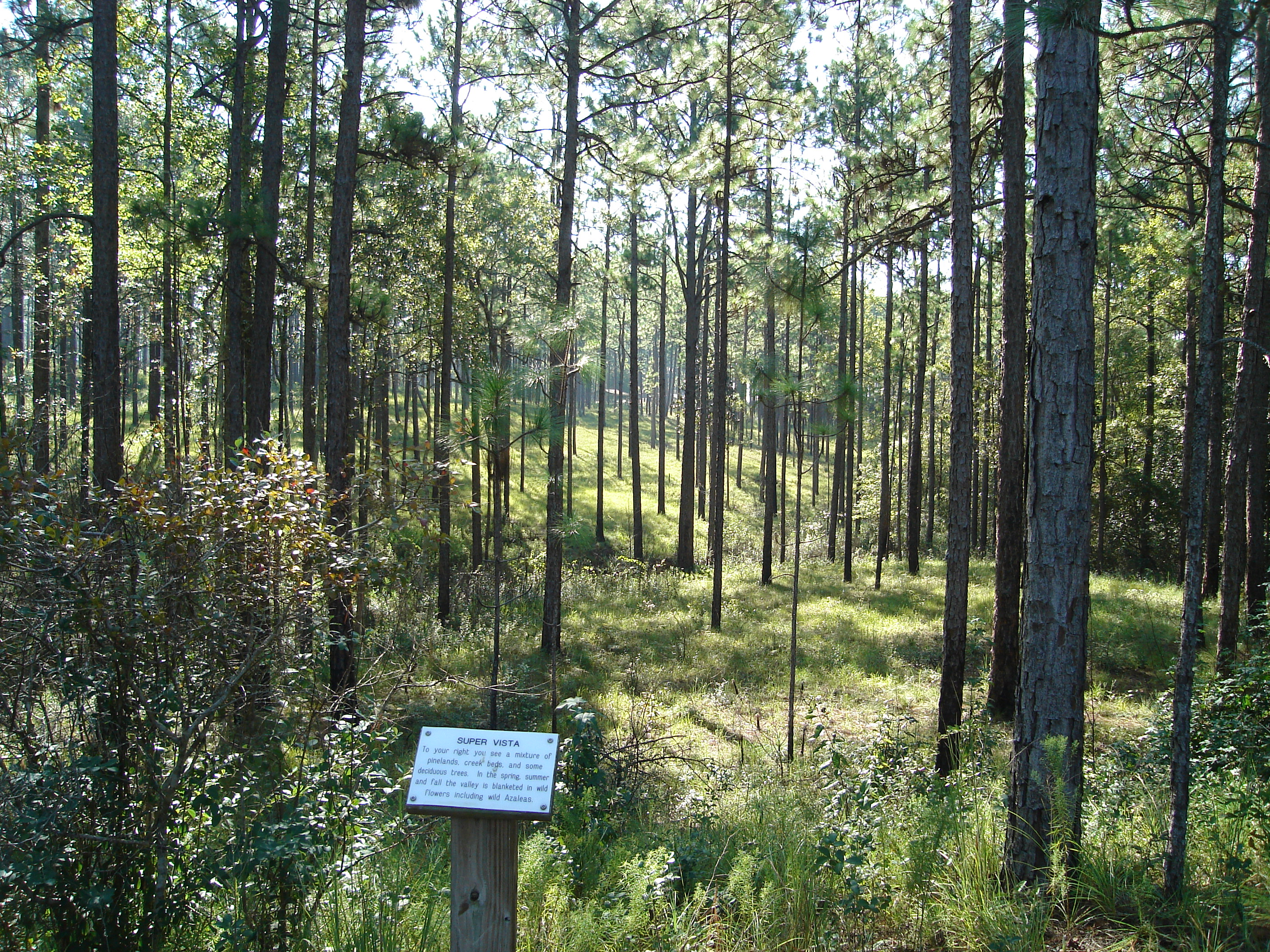
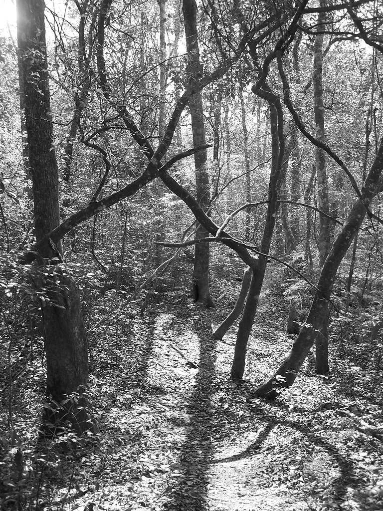
The #woods in #florida
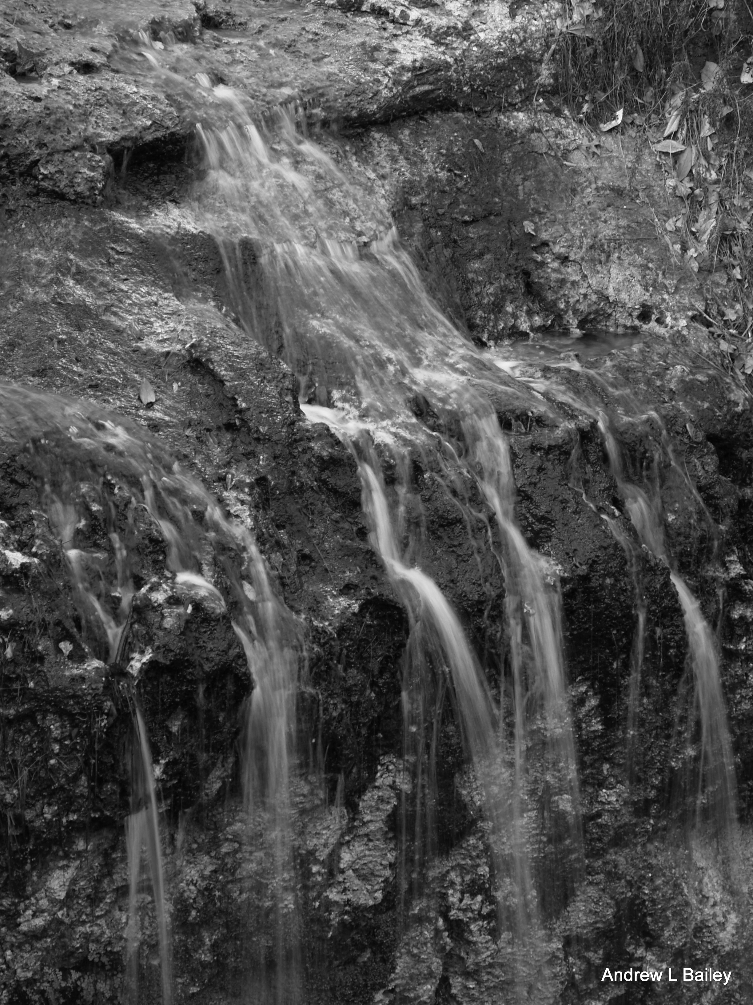
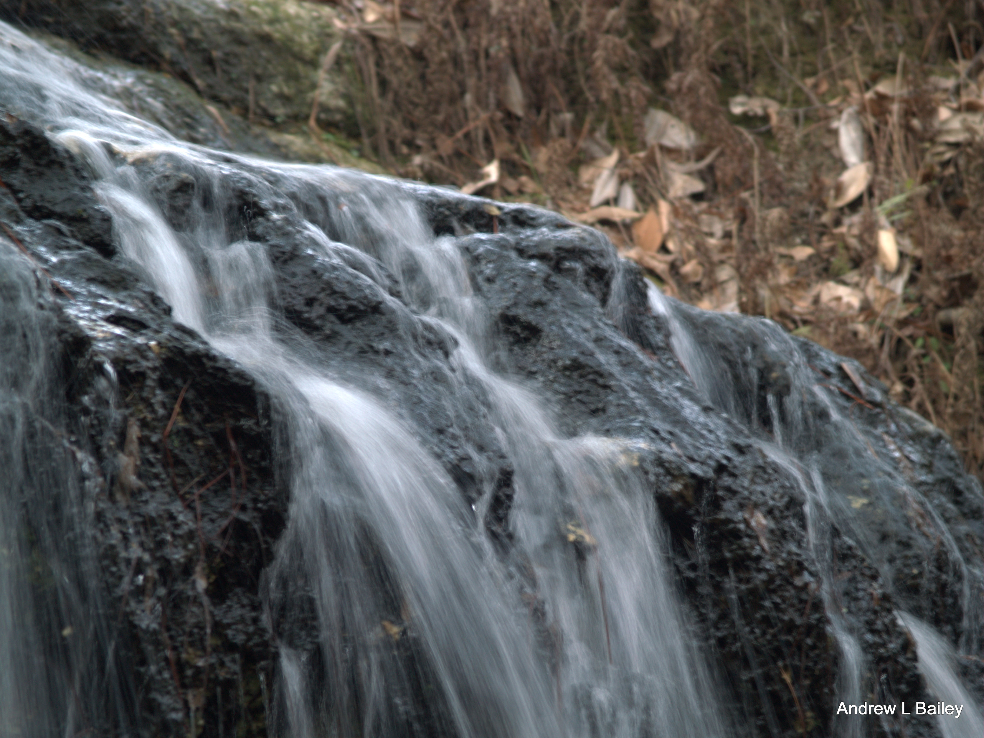
Fallings Waters
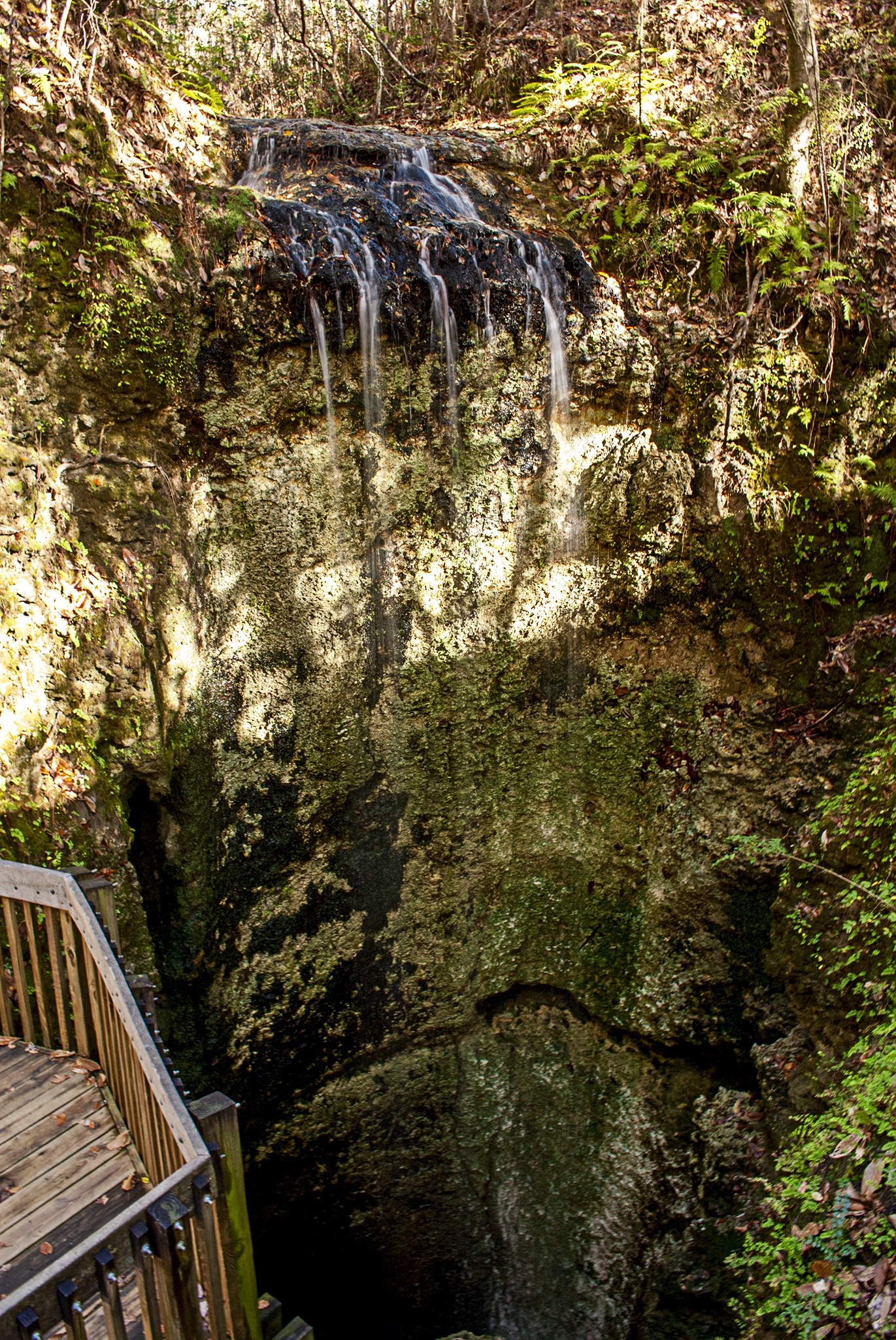
Falling waters
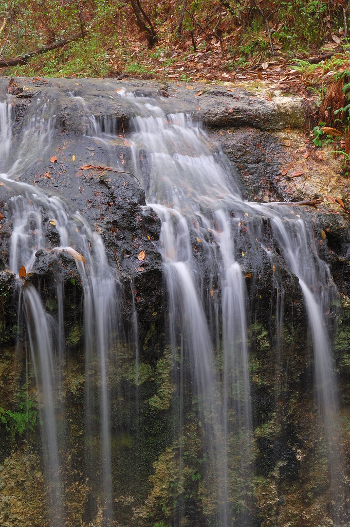
Fallings Waters
Fallings Waters
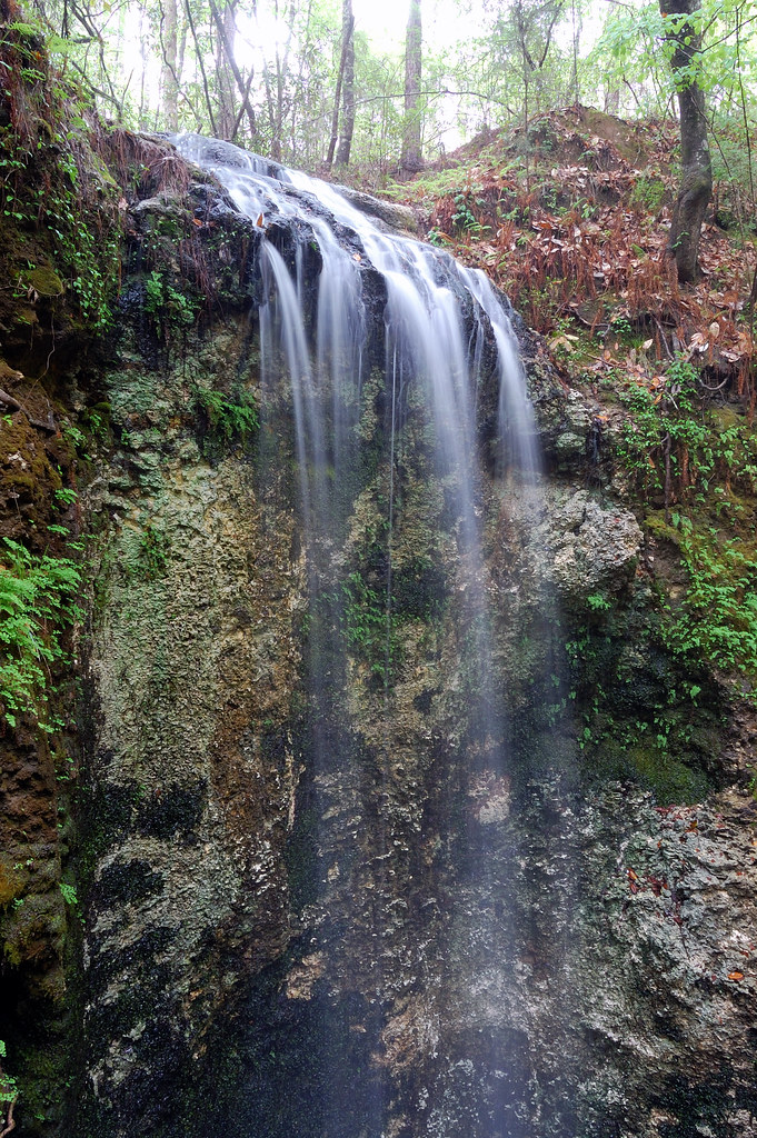
Falling Water

Forest floor ferns
Falling Water

Hillside of grassleaf golden aster
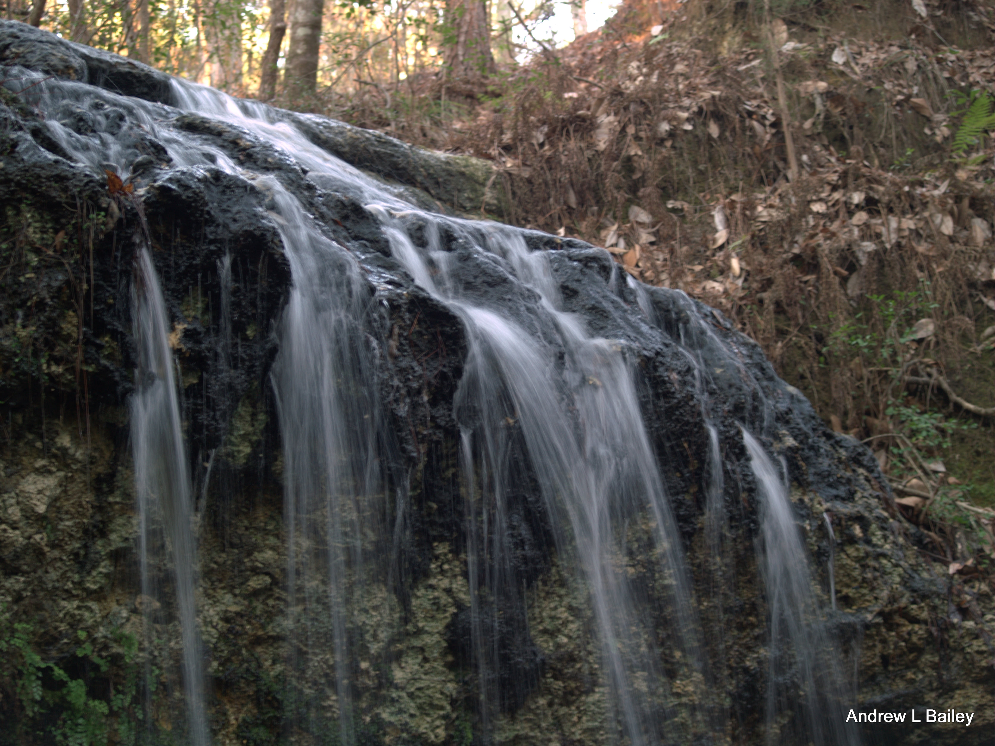
Falling Water

Hoary skullcap
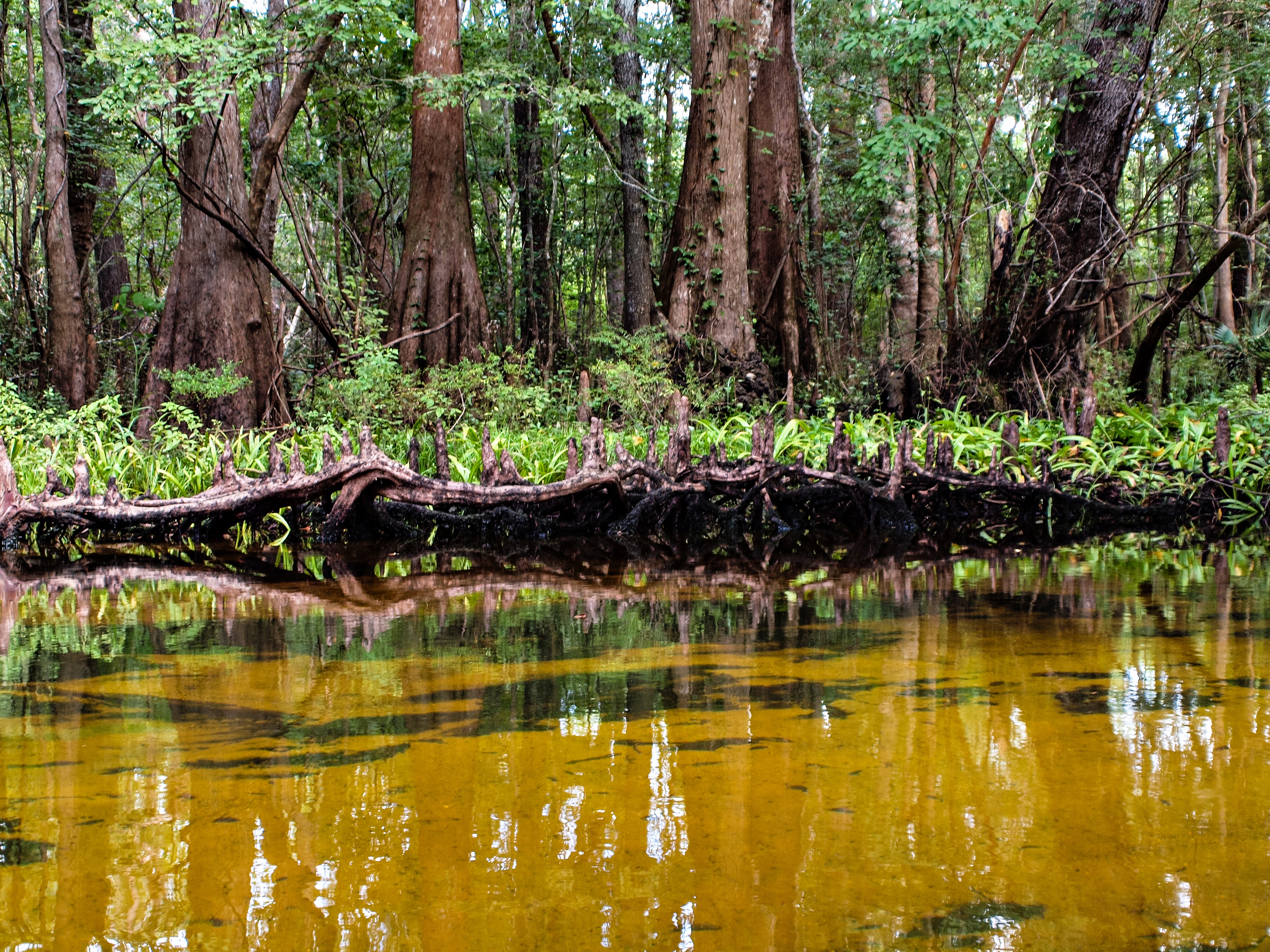
Cypress City on Holmes Creek
FLTrail along Econfina Creek

Threadleaf sundew

Canoeing Holmes Creek

Forest footpath
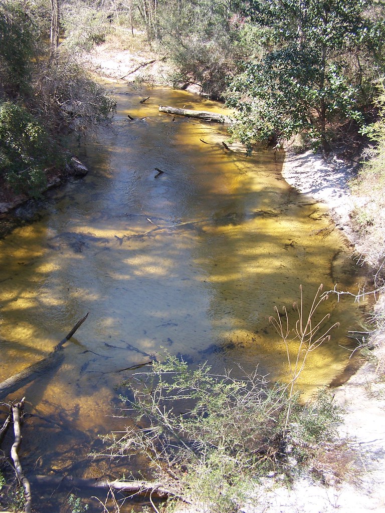
FLTrail along Econfina Creek
FLTrail along Econfina Creek
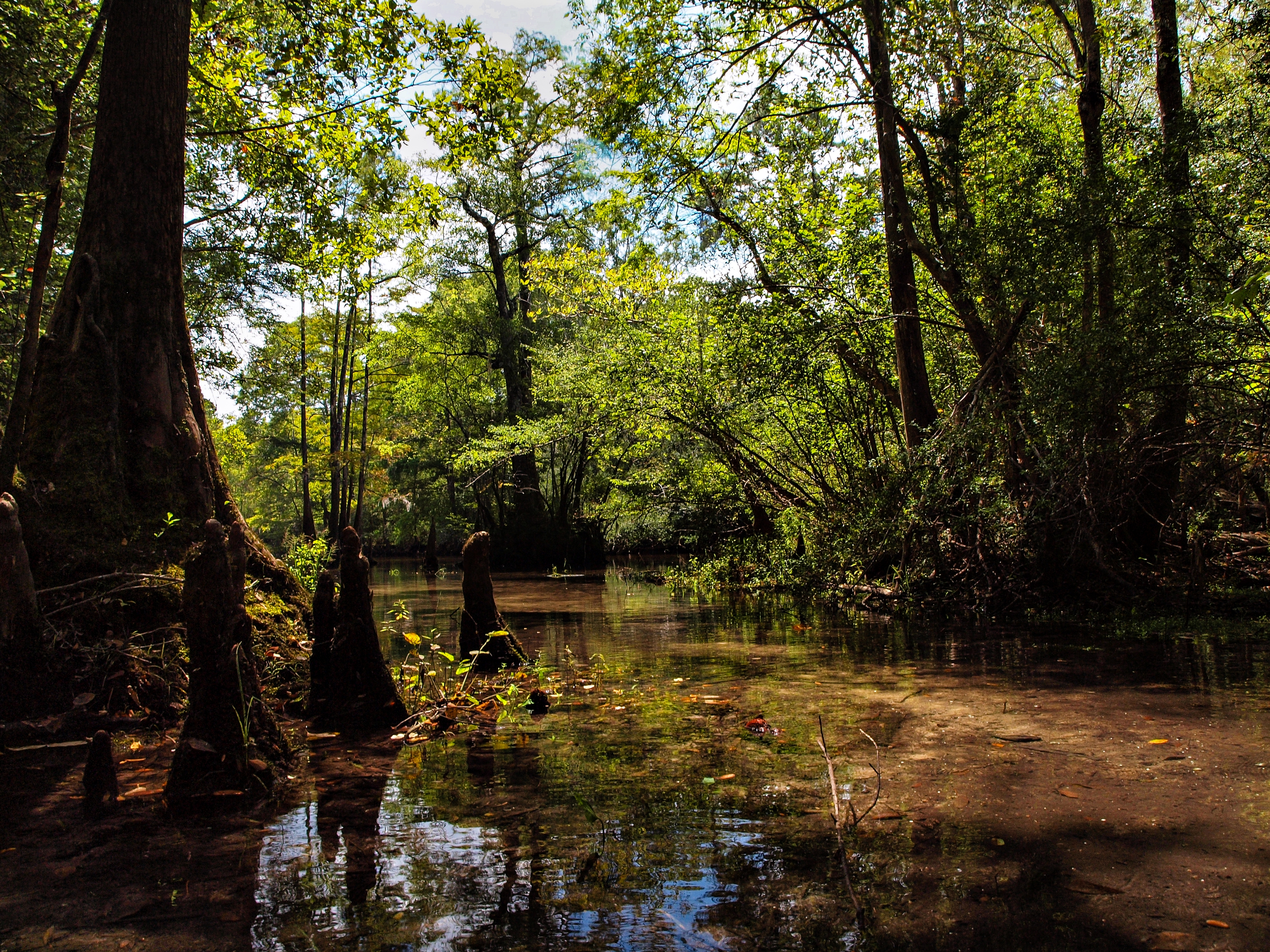
Holmes Creek Canoe Trip

FLTrail along Econfina Creek
Topographic Map of Washington Blvd, Chipley, FL, USA
Find elevation by address:

Places near Washington Blvd, Chipley, FL, USA:
Wing Lane
Firetower Road
Wausau
FL-77, Wausau, FL, USA
Seacrest Wolf Preserve
Old Mill Rd, Chipley, FL, USA
Orange Hill Rd, Chipley, FL, USA
Windwalker Street
1895 Horne Pl
Sylvania Rd, Vernon, FL, USA
3263 Tumble Creek Blvd
Alto Cir, Vernon, FL, USA
Pike Pond Road
1884 Orange Hill Rd
1007 Meadowlark Ln
Falling Waters State Recreation Area
Dauphin Road
Vernon
3422 Cook Cir
FL-79, Vernon, FL, USA
Recent Searches:
- Elevation of NY-, Friendship, NY, USA
- Elevation of 64 Danakas Dr, Winnipeg, MB R2C 5N7, Canada
- Elevation of 4 Vale Rd, Sheffield S3 9QX, UK
- Elevation of Keene Point Drive, Keene Point Dr, Grant, AL, USA
- Elevation of State St, Zanesville, OH, USA
- Elevation of Austin Stone Dr, Haslet, TX, USA
- Elevation of Bydgoszcz, Poland
- Elevation of Bydgoszcz, Poland
- Elevation of Calais Dr, Del Mar, CA, USA
- Elevation of Placer Mine Ln, West Jordan, UT, USA