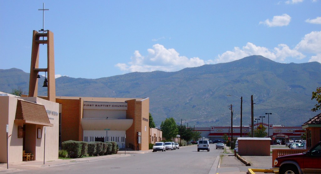
Elevation of Washington Ave, Alamogordo, NM, USA
Location: United States > New Mexico > Otero County > Alamogordo >
Longitude: -105.94338
Latitude: 32.911284
Elevation: 1346m / 4416feet
Barometric Pressure: 86KPa
Elevation Map:
Satellite Map:
Related Photos:

Desert life

High Rolls - Farsightedness
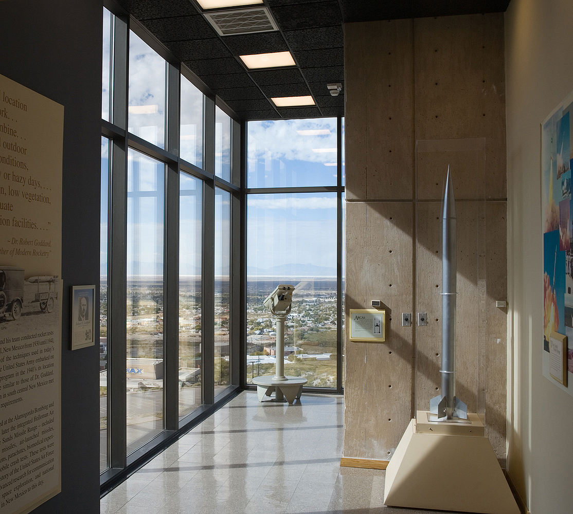
New Mexico Museum of Space History
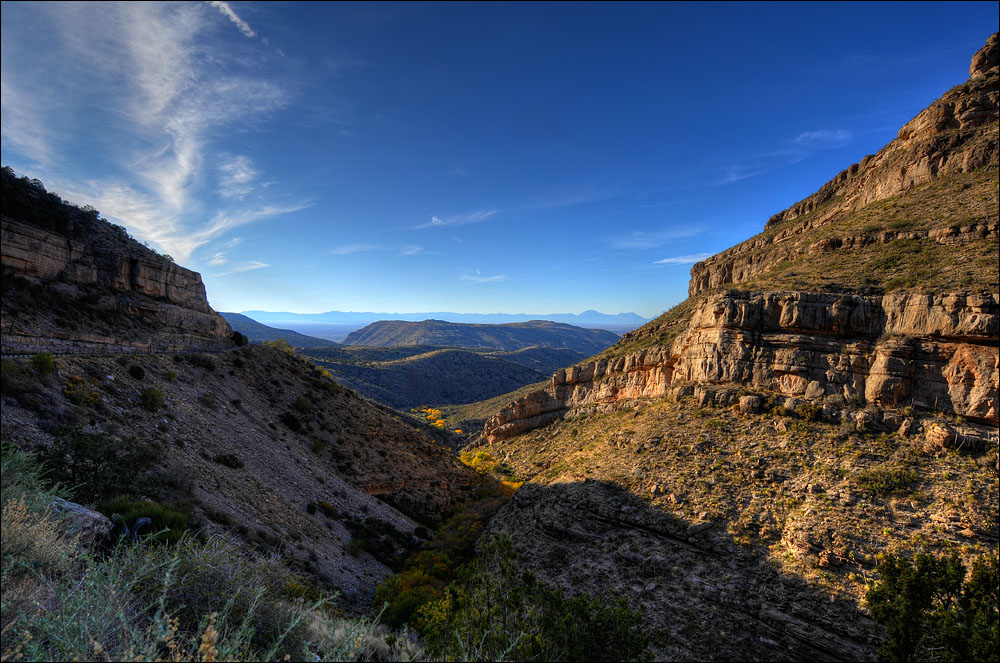
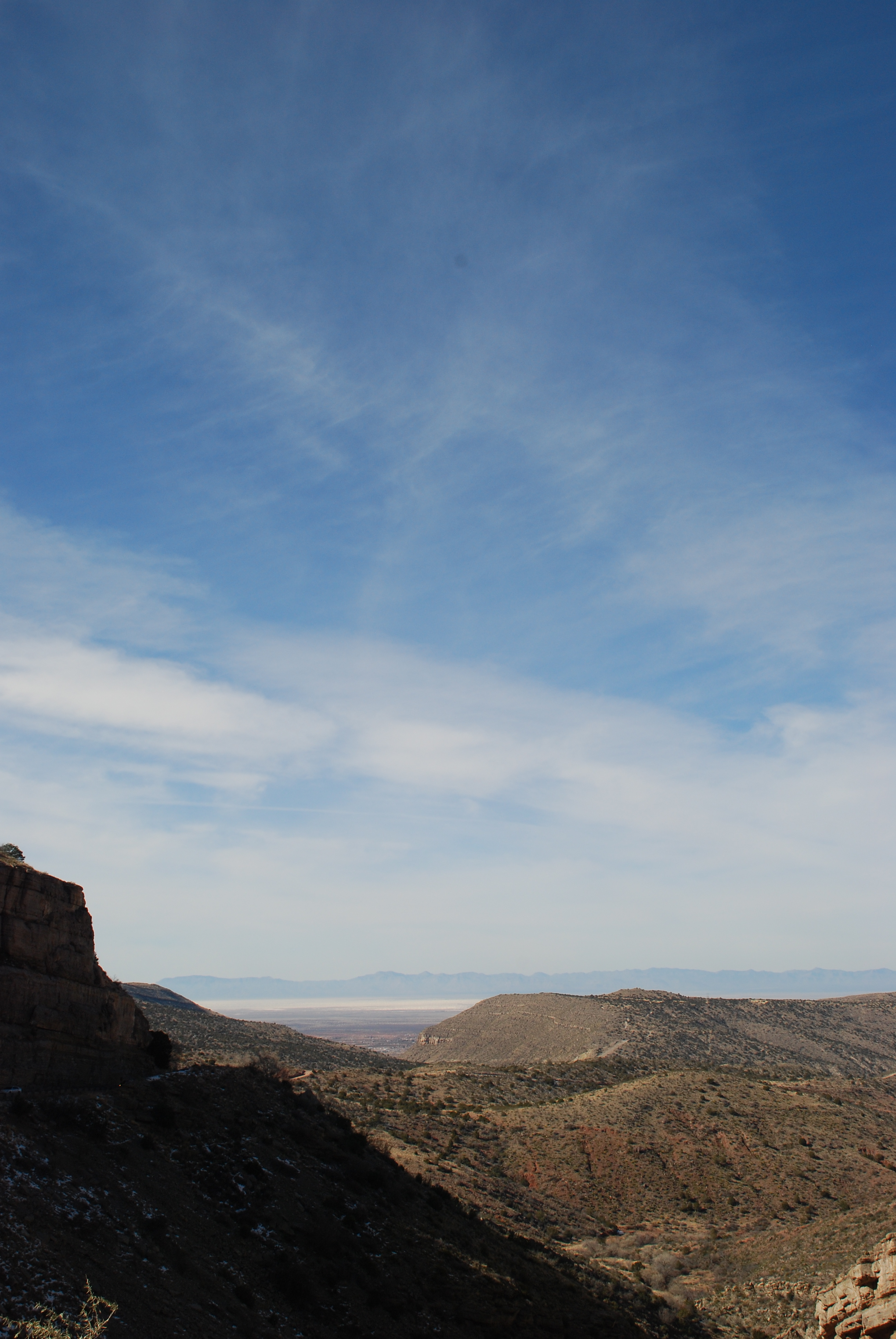
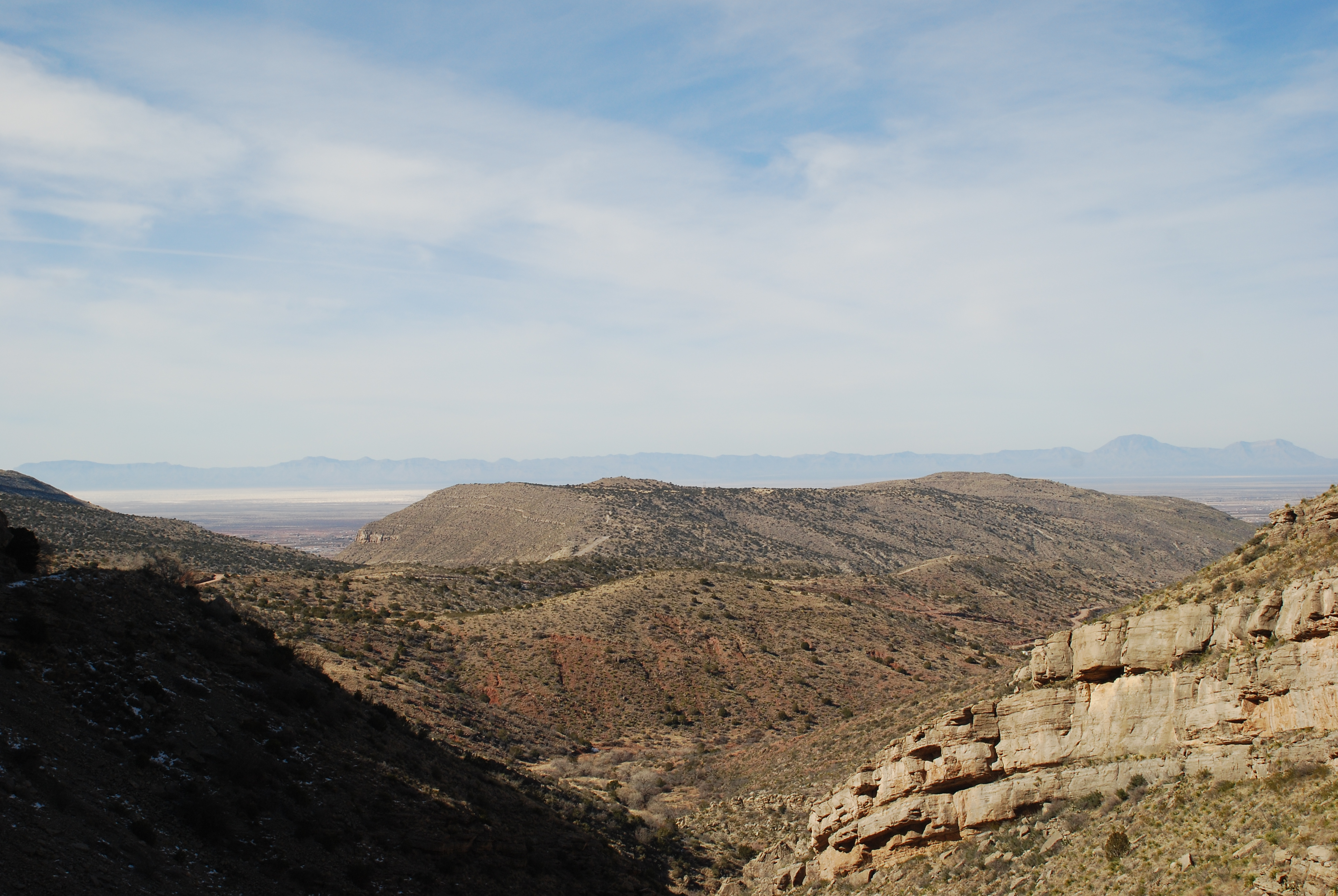
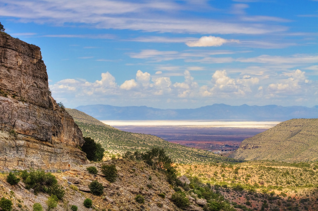
Northern vista from US 82
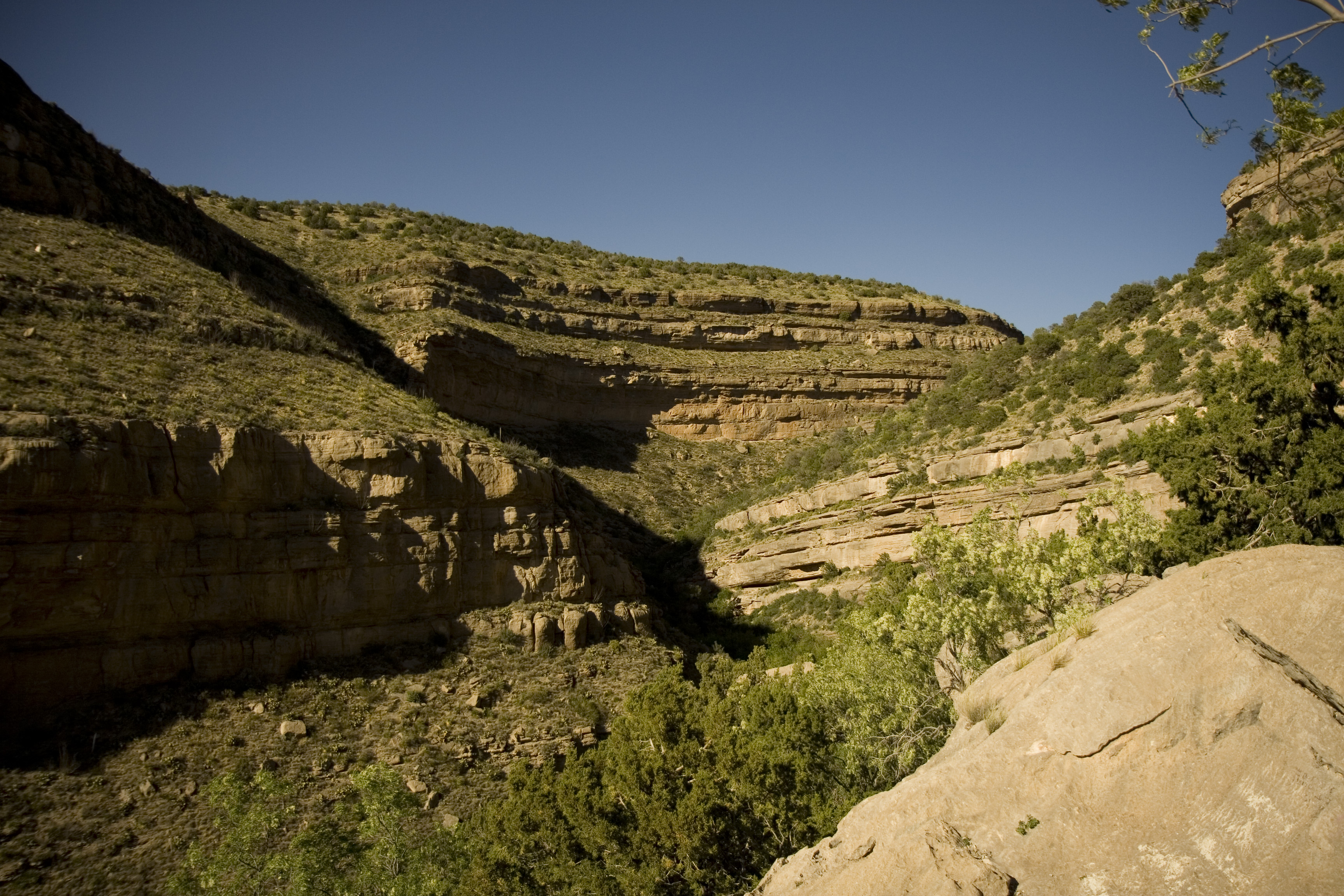
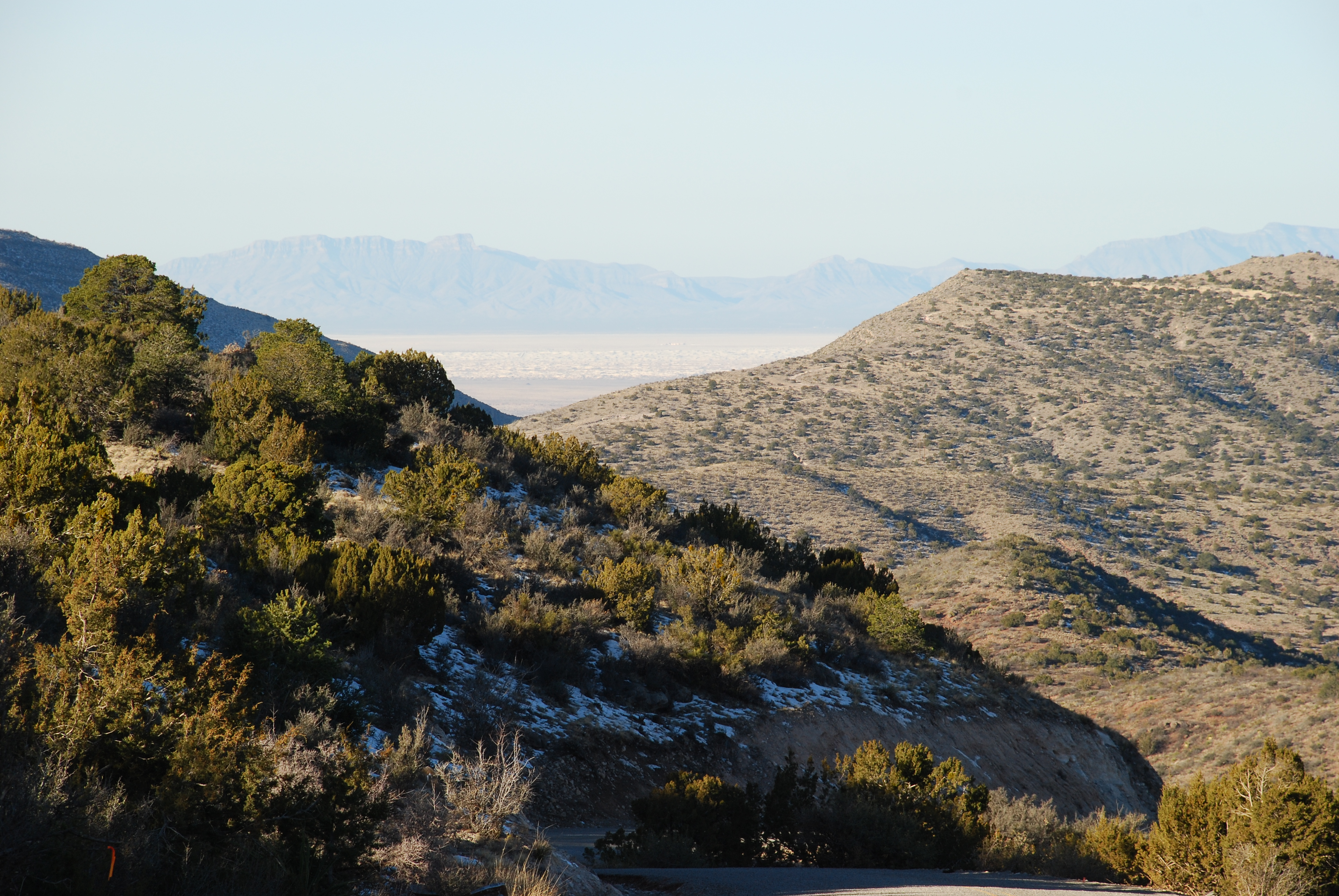
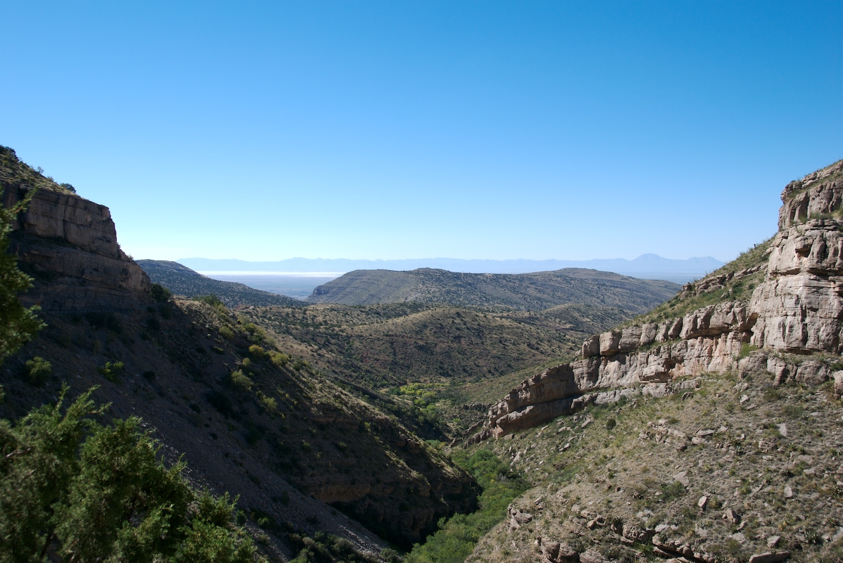
Fresnal Canyon
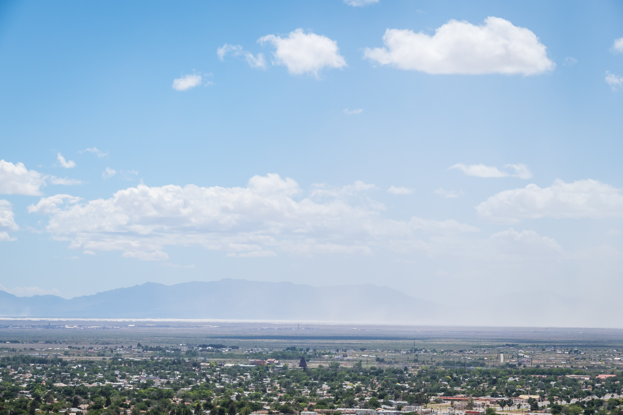
Desert Sand Haze Over Alamogordo

New suit by Vizion clothing located in Albuquerque nm big thanks for to Lester for providing suits for the Miami shoot. Video avail to view at Vimeo.com/sixmic #clothing #figure #suits

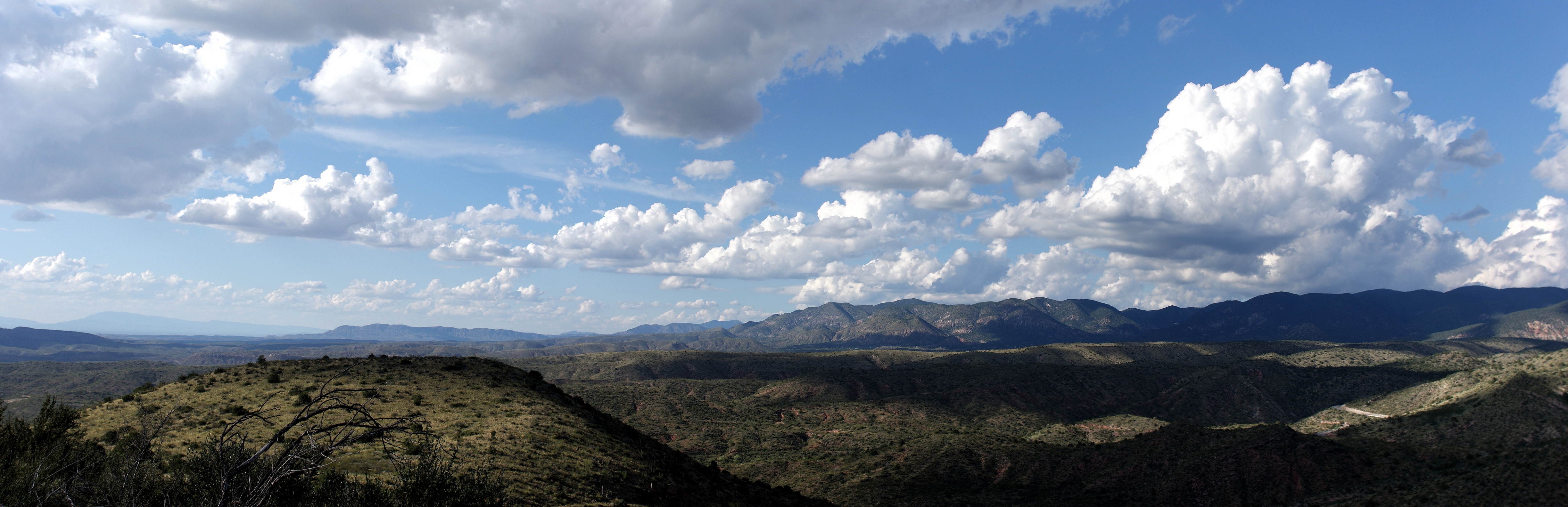
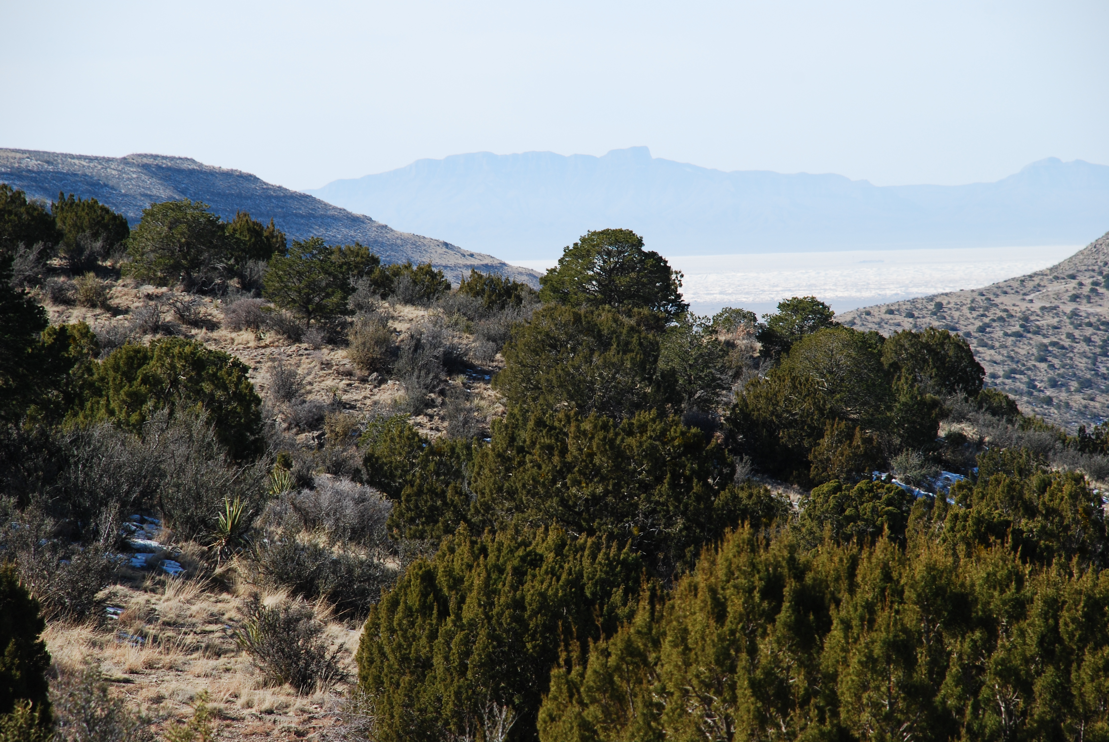
Sacramento Mountains
High Rolls Mountain View
Sacramento Mountains (Alamogordo, New Mexico)
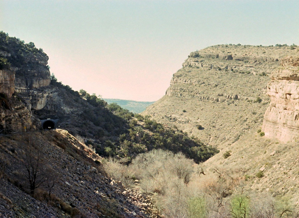
Tunnel vision
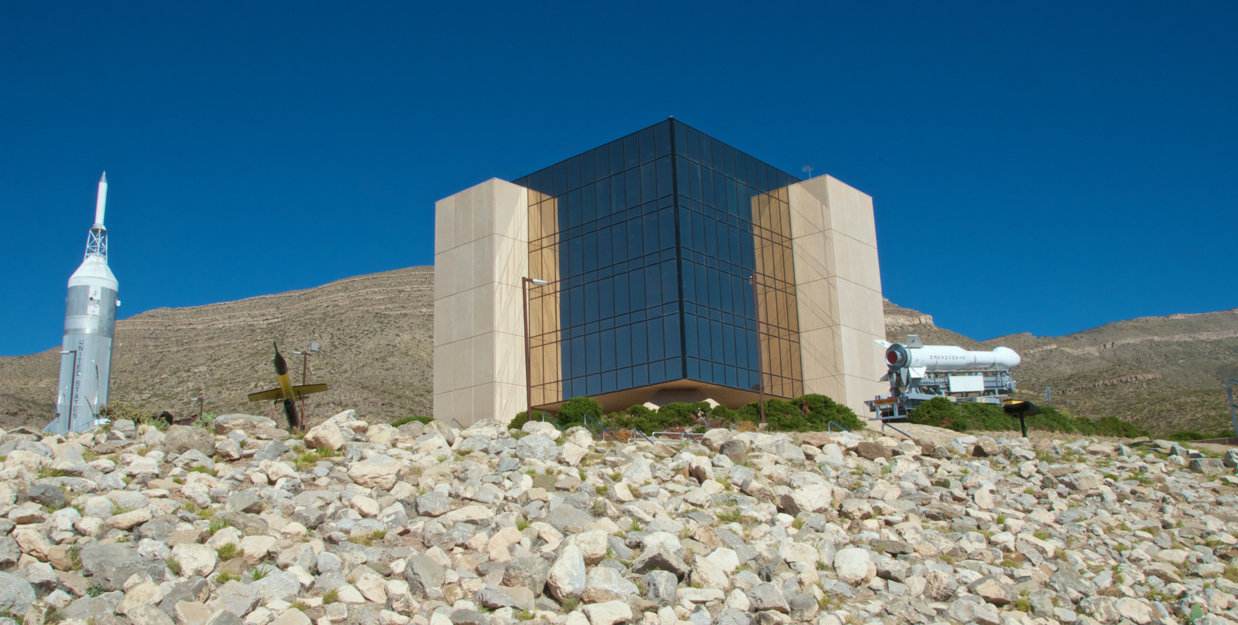
New Mexico Museum of Space History

Mountain view
Cloudcroft canyon
View of White Sands from the Hwy 82 tunnel, Lincoln National Forest, New Mexico 02; 16/365 2010
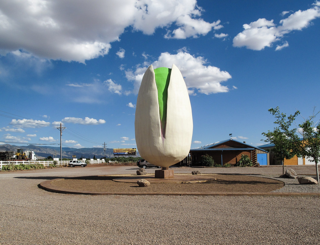
I think Southern New Mexico would be ruined if anything bad were ever to happen to the world's largest pistachio.
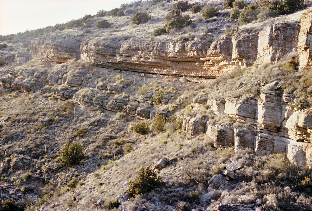
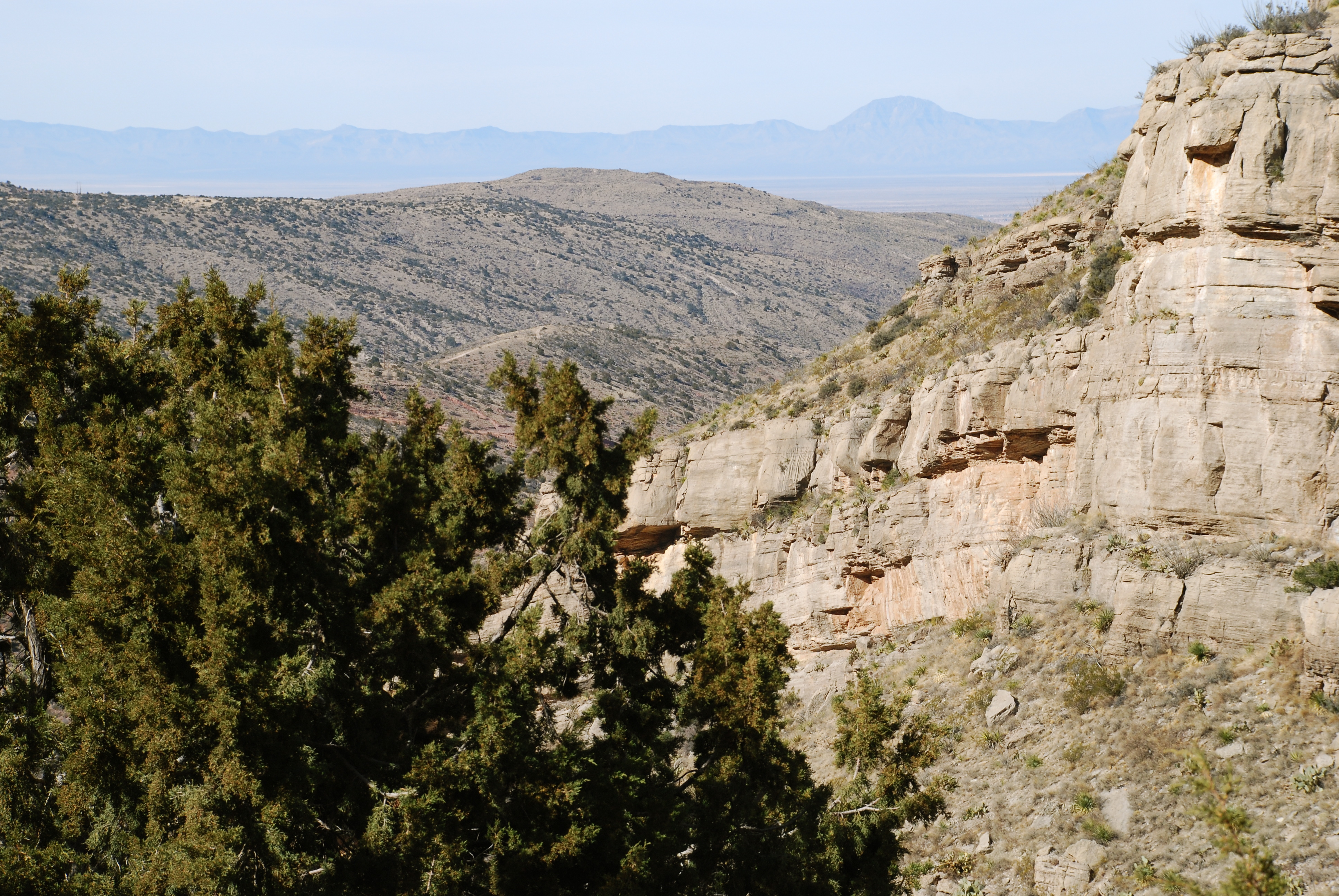
Rocky ledges
View of White Sands from Lincoln National Forest, High Rolls, New Mexico
View of White Sands from Lincoln National Forest, High Rolls, New Mexico 02
View of White Sands from the Hwy 82 tunnel, Lincoln National Forest, New Mexico 03
View near the Hwy 82 tunnel, Lincoln National Forest, New Mexico 04

McGinn's Pistachio Tree Ranch & Well (DTB_0764)

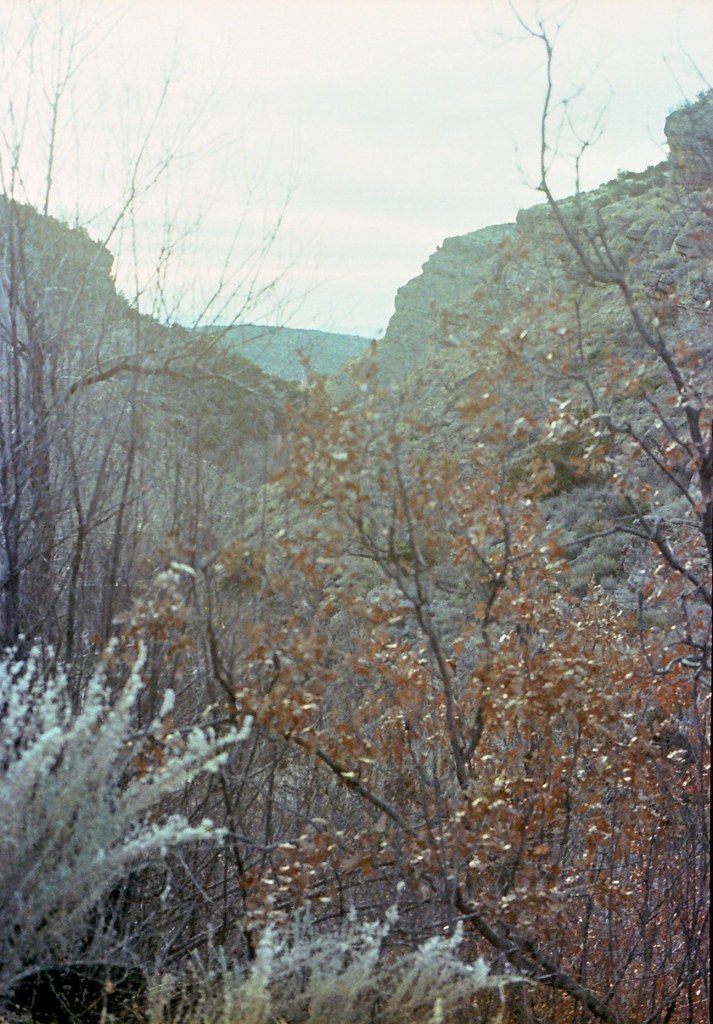
Fresnal Canyon
White Sands, New Mexico
White Sands From Route 82 1

Alamogordo - Sunset over Sacramento Mountains
Las Cruces 2013

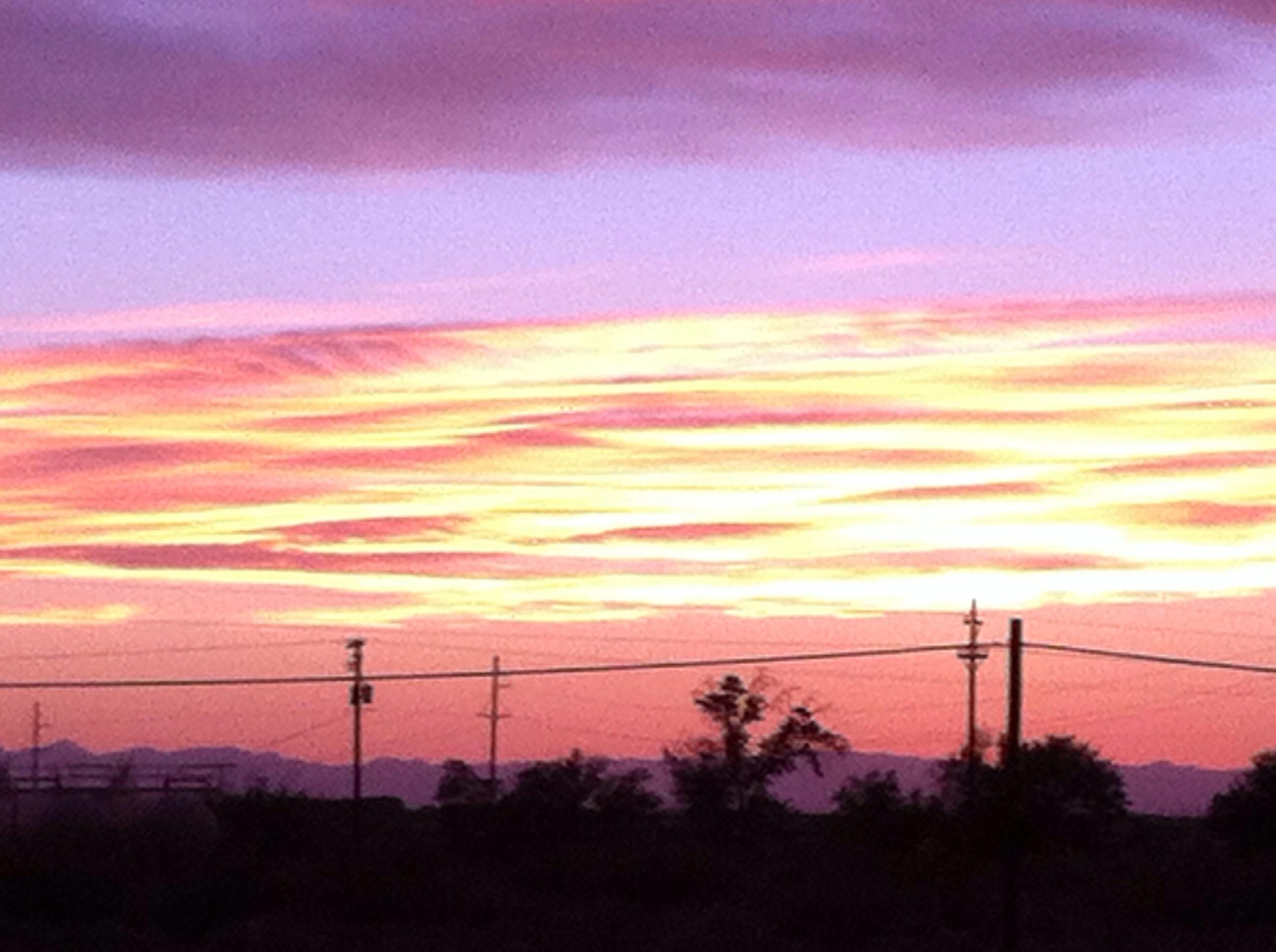
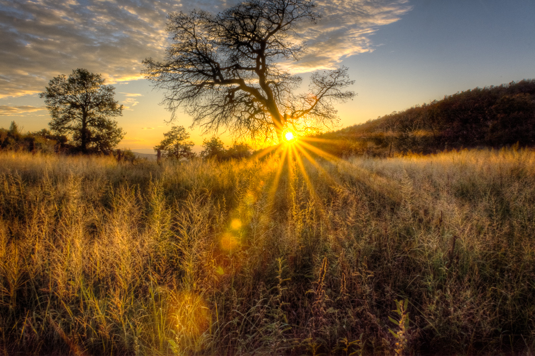
Alamogordo - Burning Horizon

High Rolls - Ridge

Alamogordo - Sky Line

Alamogordo - Hell Fire
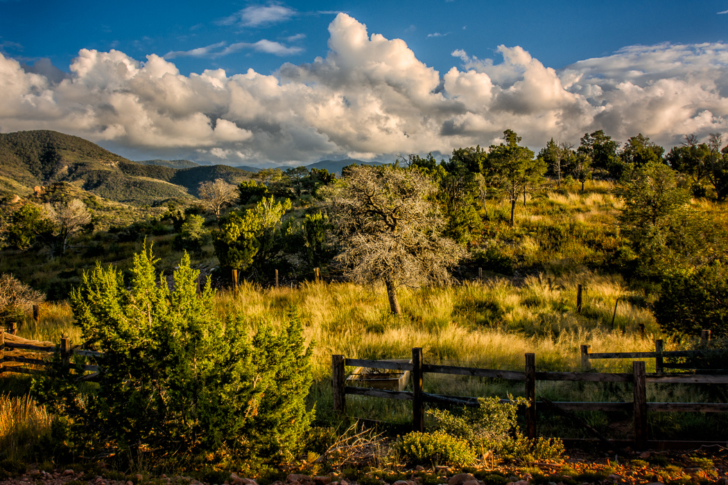
Sacramento Mountains

Alamogordo - Red Mountains & White Roofs

La Luz Creek
Afternoon Delight
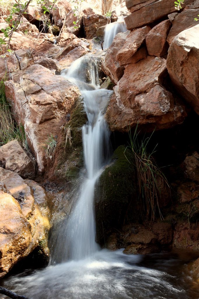
Bridal Veil Falls

#Alamogordo, Tularosa Basin, San Andres Mountains #NewMexico #sunset
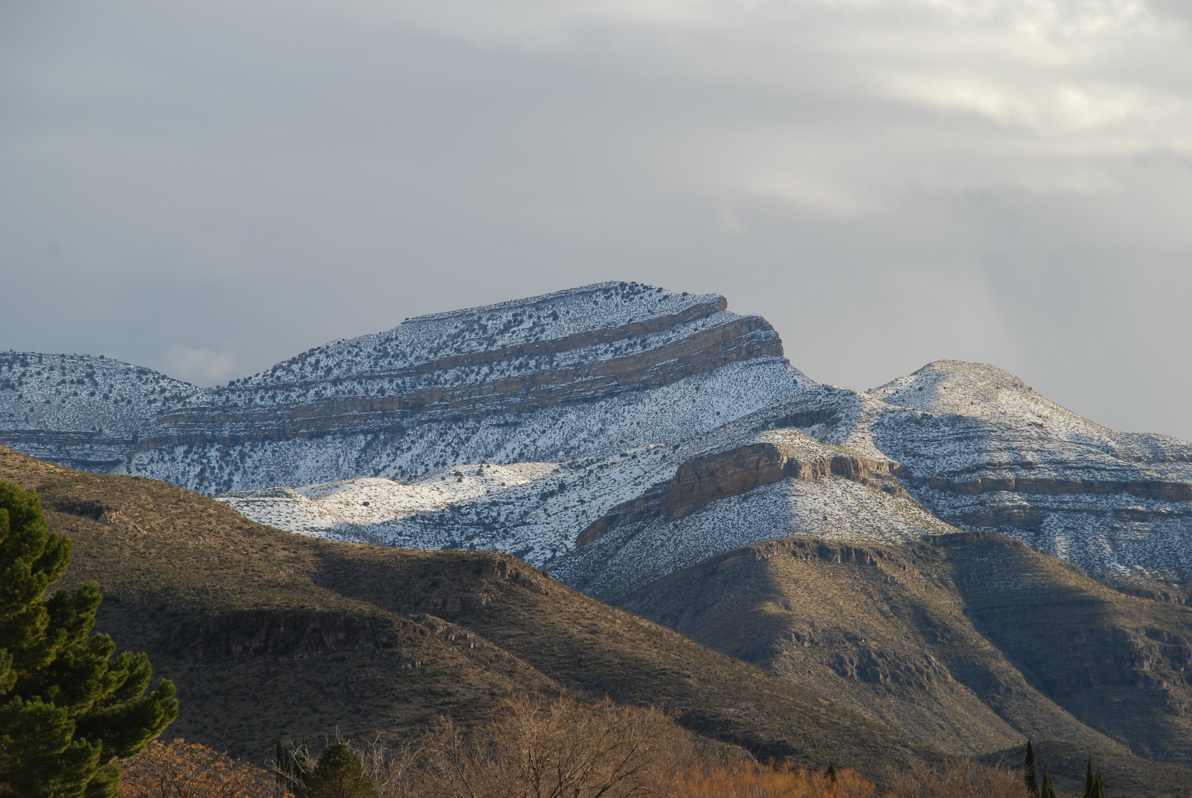
Snowy Sleeping Lady; 23/365 2010
Topographic Map of Washington Ave, Alamogordo, NM, USA
Find elevation by address:

Places near Washington Ave, Alamogordo, NM, USA:
1312 17th St
1715 Monte Vista Corte
1504 E 10th St
East 10th Street
2001 E 10th St
1502 Park Ave
1408 Park Ave
907 7th St
408 Spruce Ave
1529 Granada
1501 Granada
802 5th St
Alamogordo
3013 Del Prado
300 Plainview Dr
New Mexico Museum Of Space History
252 Robert H Bradley Dr
123 S White Sands Blvd
700 Venus Ave
900 Panorama Blvd
Recent Searches:
- Elevation of 15th Ave SE, St. Petersburg, FL, USA
- Elevation of Beall Road, Beall Rd, Florida, USA
- Elevation of Leguwa, Nepal
- Elevation of County Rd, Enterprise, AL, USA
- Elevation of Kolchuginsky District, Vladimir Oblast, Russia
- Elevation of Shustino, Vladimir Oblast, Russia
- Elevation of Lampiasi St, Sarasota, FL, USA
- Elevation of Elwyn Dr, Roanoke Rapids, NC, USA
- Elevation of Congressional Dr, Stevensville, MD, USA
- Elevation of Bellview Rd, McLean, VA, USA