Elevation of Washburn, TN, USA
Location: United States > Tennessee > Grainger County >
Longitude: -83.595557
Latitude: 36.2894746
Elevation: 432m / 1417feet
Barometric Pressure: 96KPa
Elevation Map:
Satellite Map:
Related Photos:
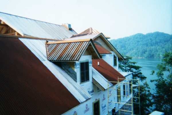
side
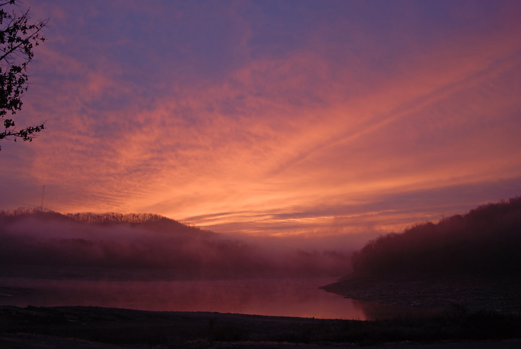
Sunrise over norris lake

2012-06-09_14-06-06_622
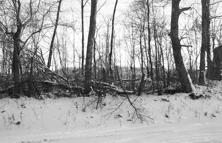
snow in the fencerow 2-5-08
Mountains and Clearings
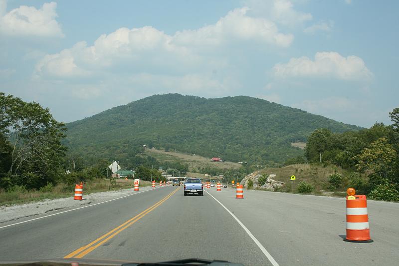
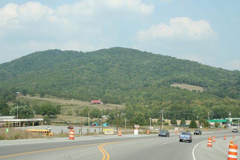
Afternoon Drive
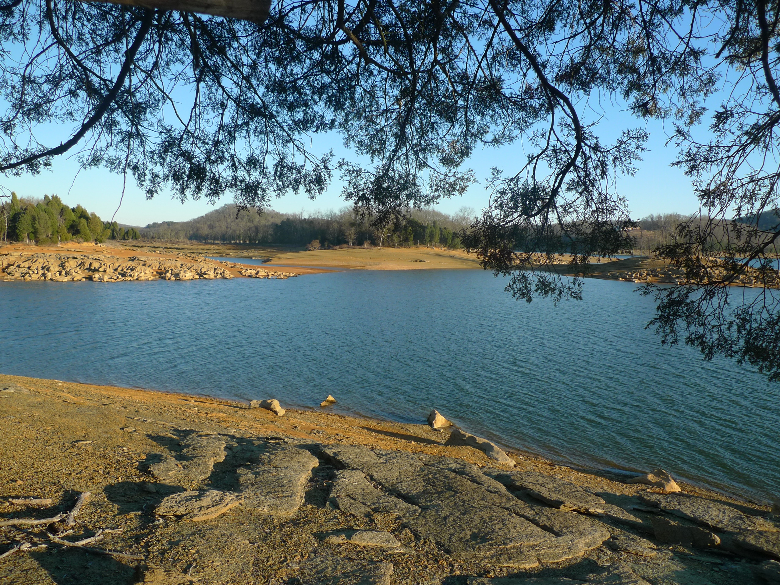
Cove on Castaway Island - Cherokee Lake
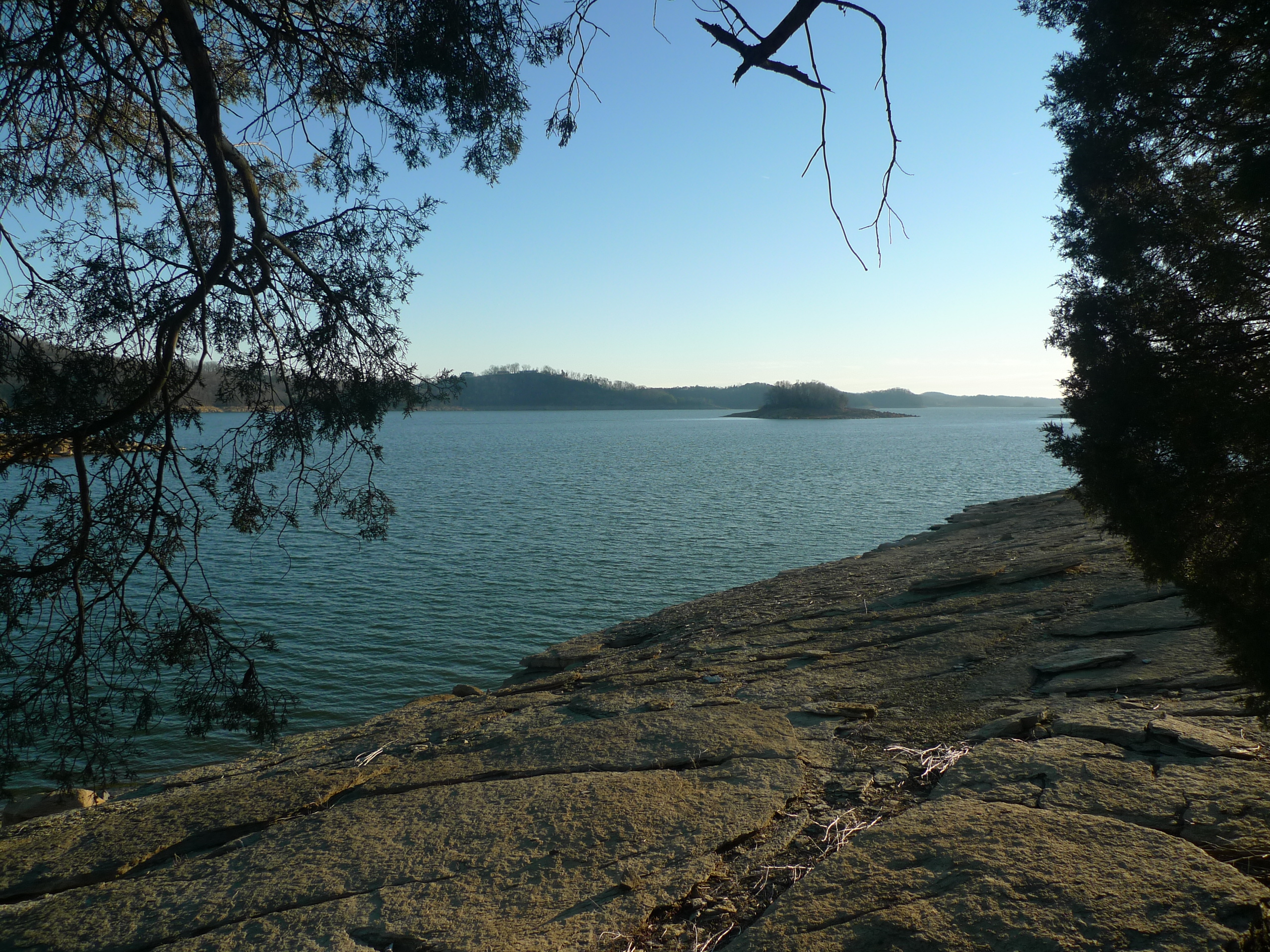
The Point

Sailboat adrift on Castaway Island

2012-06-10_12-24-33_766
Topographic Map of Washburn, TN, USA
Find elevation by address:

Places in Washburn, TN, USA:
Places near Washburn, TN, USA:
8830 Tn-131
7064 Tn-131
123 Dunville Gap Rd
Cracker Neck Road
Grainger County
Dutch Valley Rd, Washburn, TN, USA
Rutledge Pike, Rutledge, TN, USA
Joppa Mountain Road
3073 Dutch Valley Rd
Joppa Mountain Road
3404 Dutch Valley Rd
341 Shoreside Rd
Coffey Lane
Nicely Road
2396 Joppa Mountain Rd
1943 Joppa Mountain Rd
7768 Rutledge Pike
287 Norris Point
5311 Cracker Neck Rd
186 Timber Creek Rd
Recent Searches:
- Elevation of Badaber, Peshawar, Khyber Pakhtunkhwa, Pakistan
- Elevation of SE Heron Loop, Lincoln City, OR, USA
- Elevation of Slanický ostrov, 01 Námestovo, Slovakia
- Elevation of Spaceport America, Co Rd A, Truth or Consequences, NM, USA
- Elevation of Warwick, RI, USA
- Elevation of Fern Rd, Whitmore, CA, USA
- Elevation of 62 Abbey St, Marshfield, MA, USA
- Elevation of Fernwood, Bradenton, FL, USA
- Elevation of Felindre, Swansea SA5 7LU, UK
- Elevation of Leyte Industrial Development Estate, Isabel, Leyte, Philippines